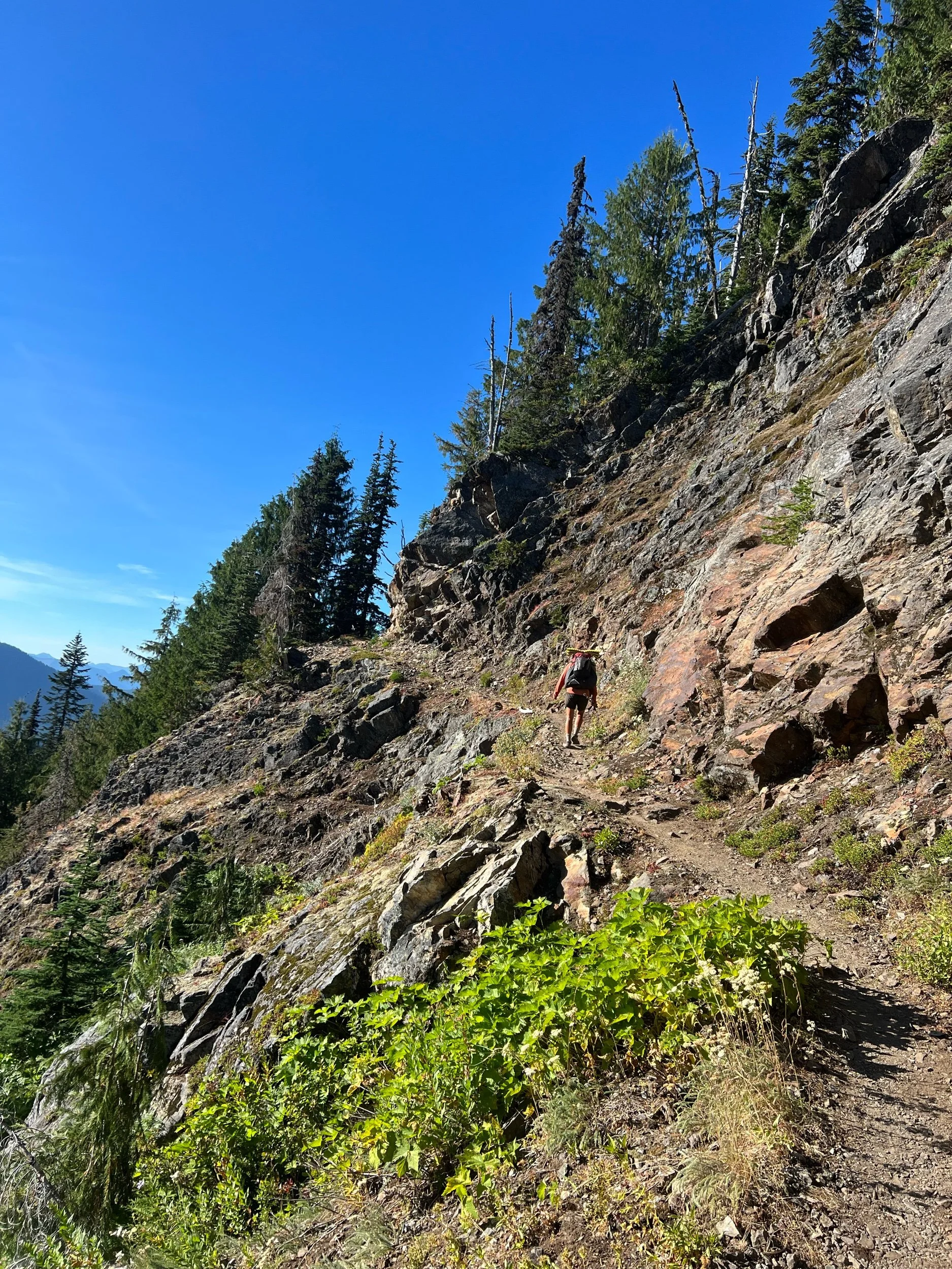
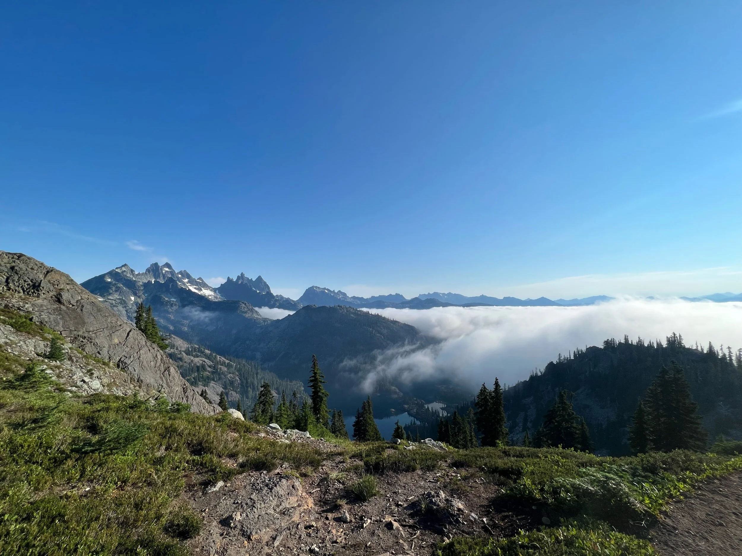
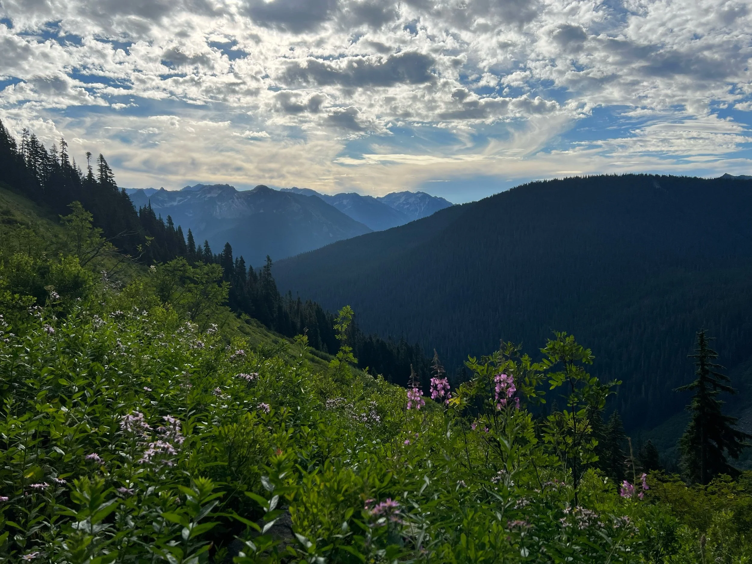
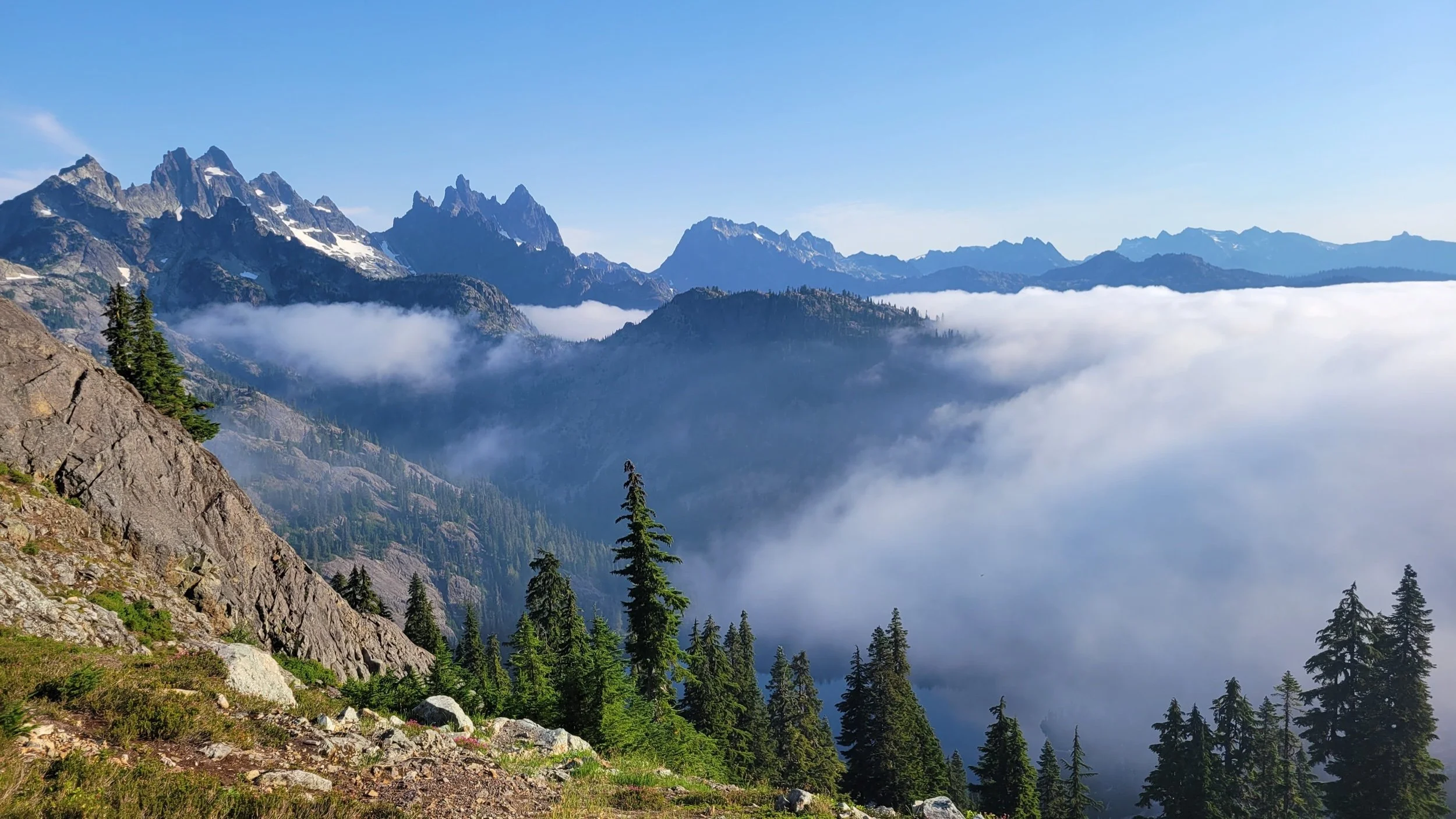
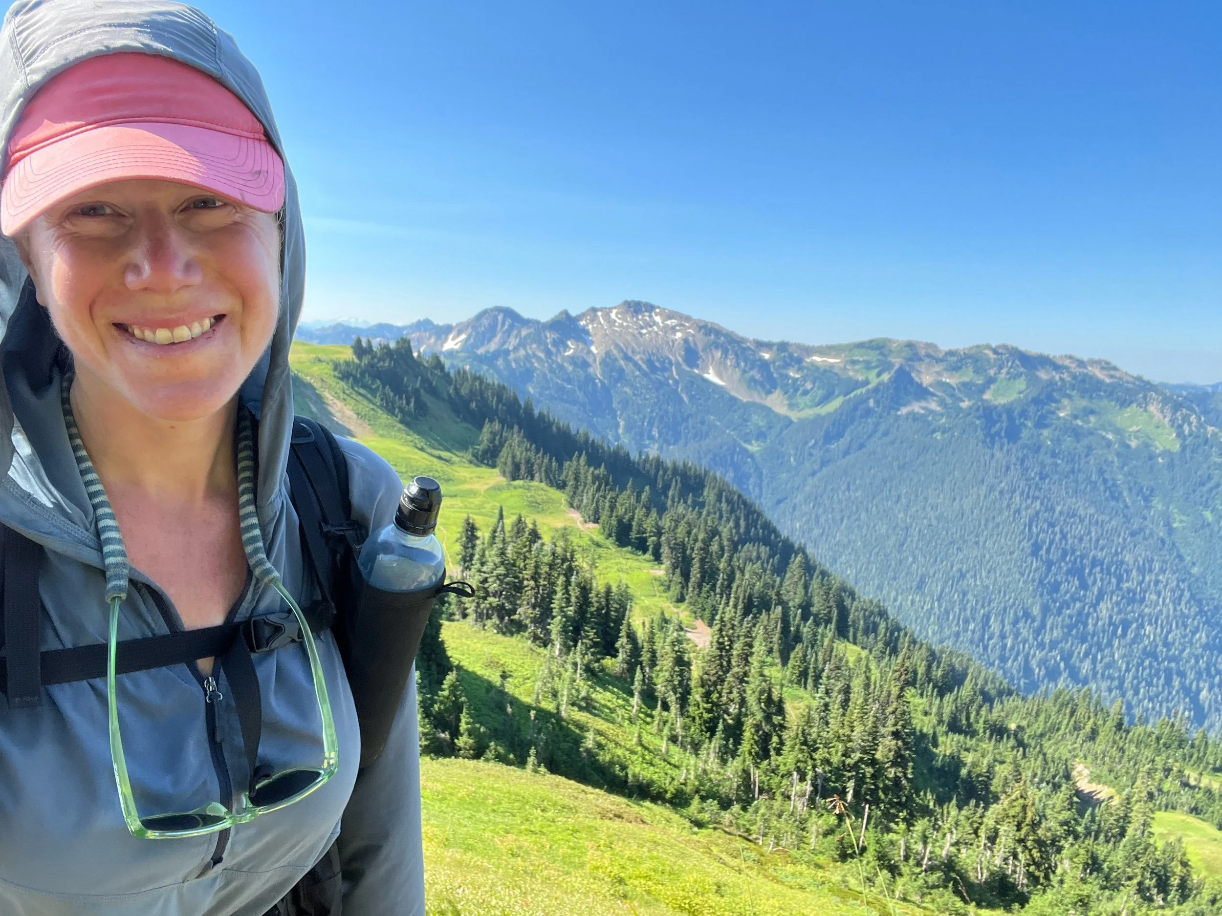
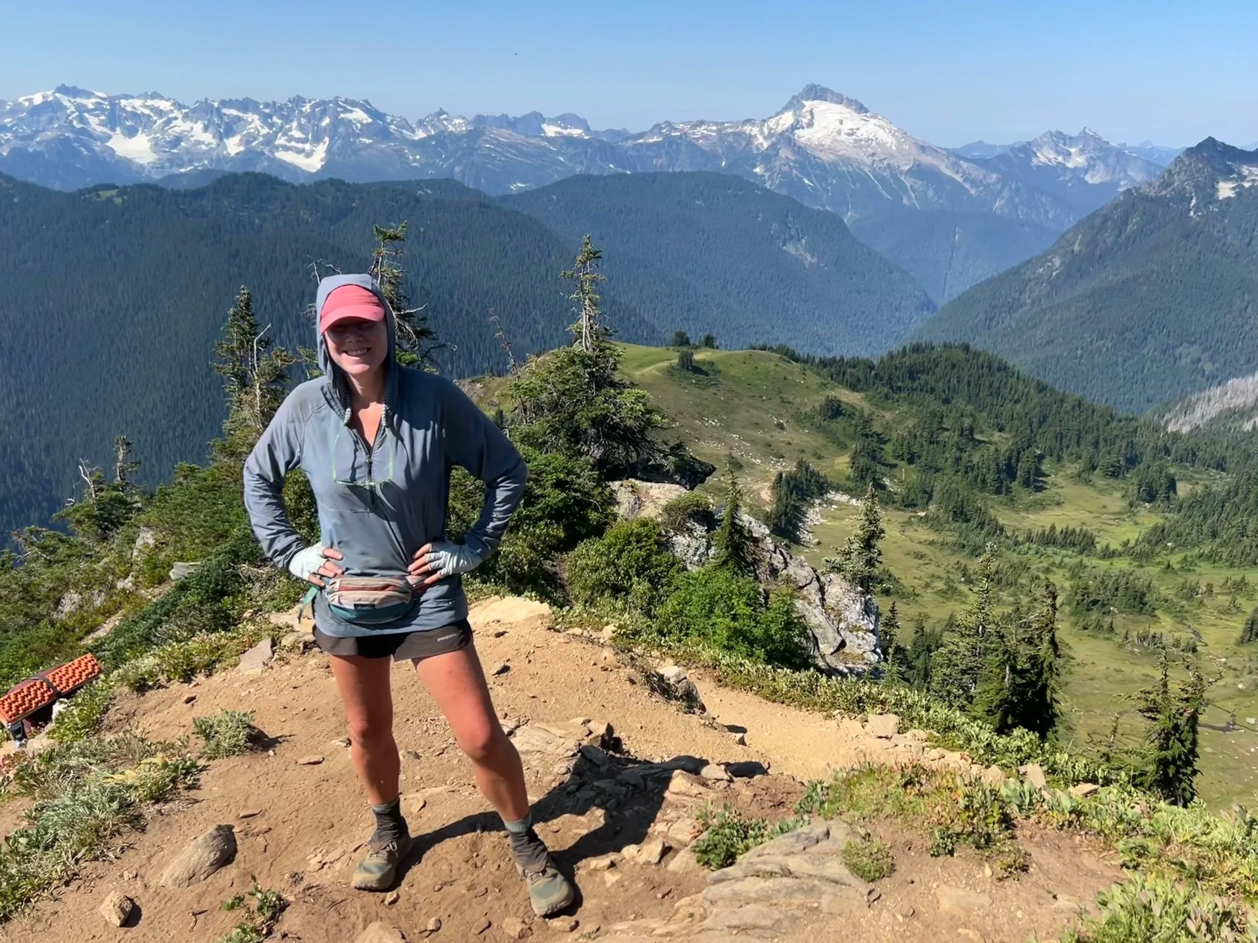
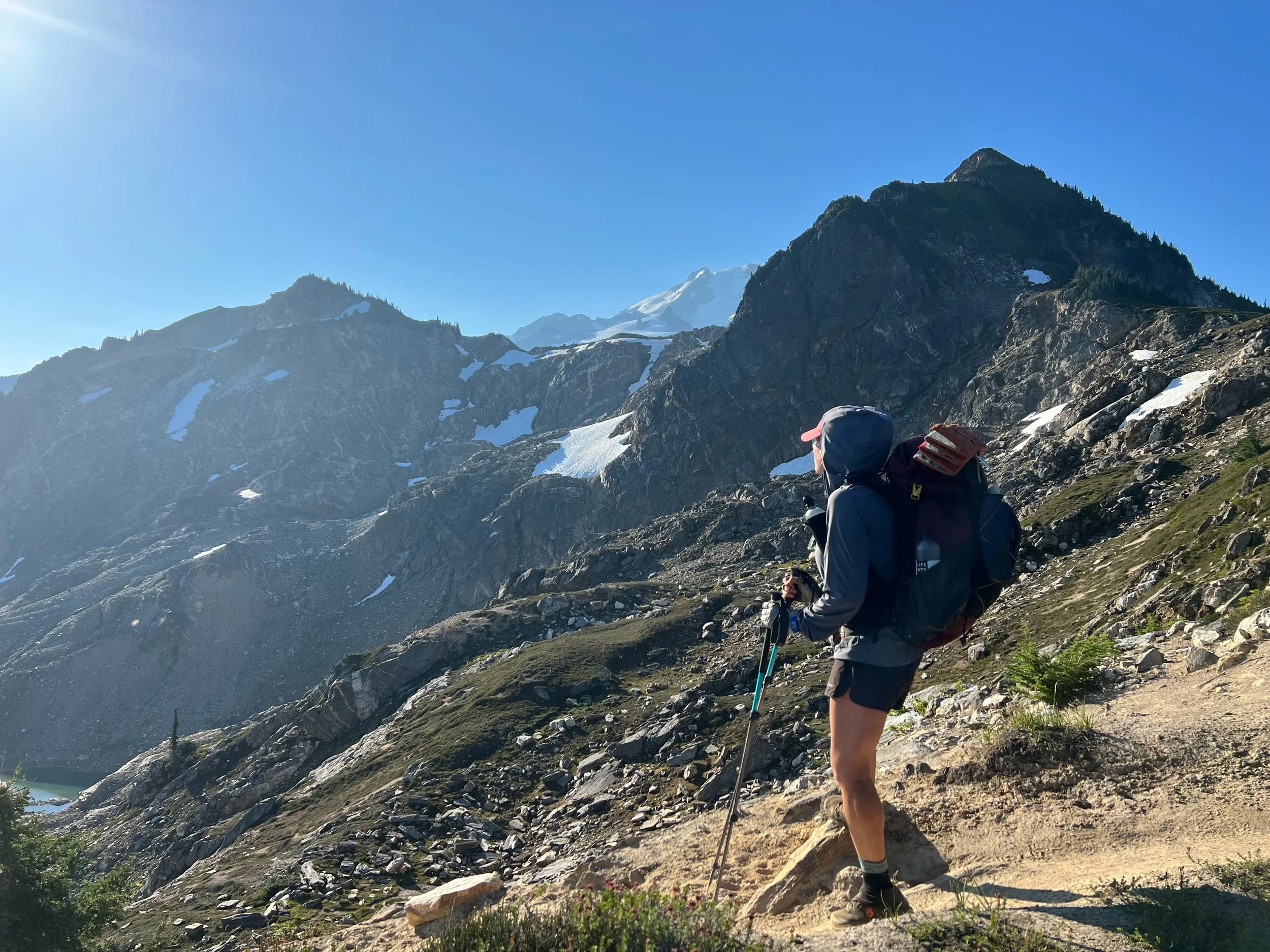
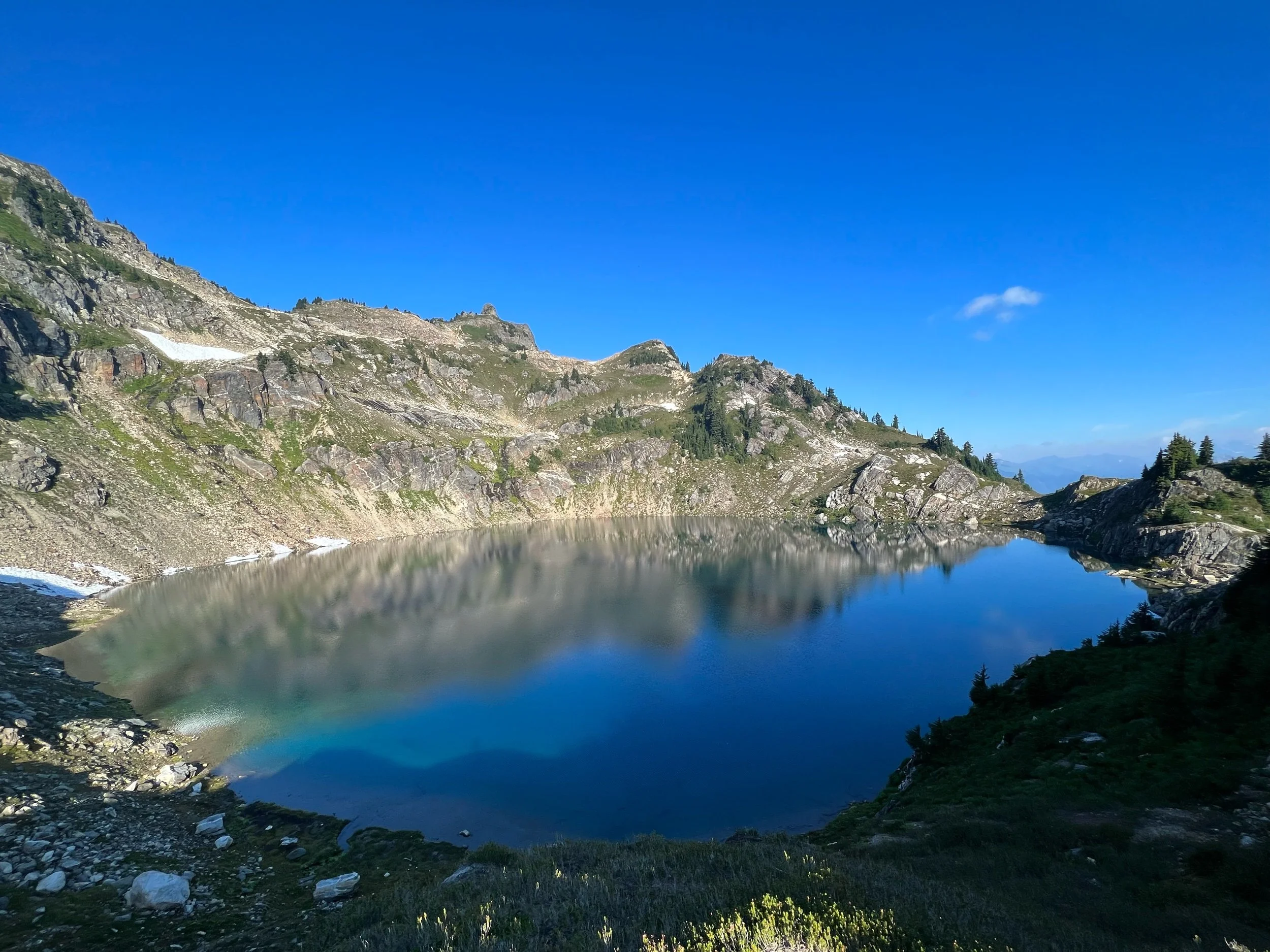
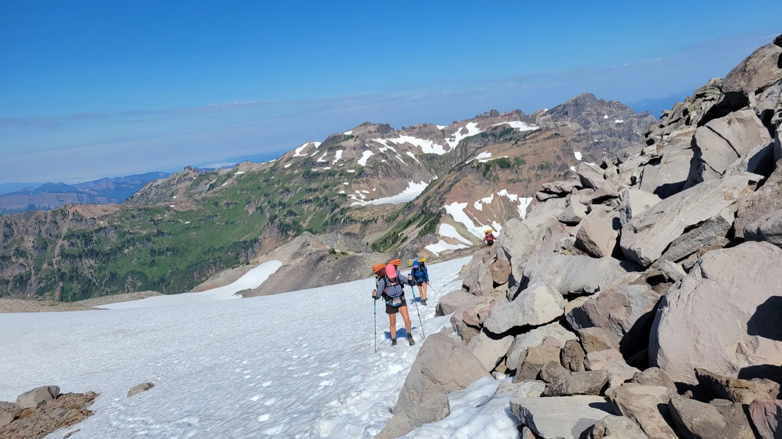
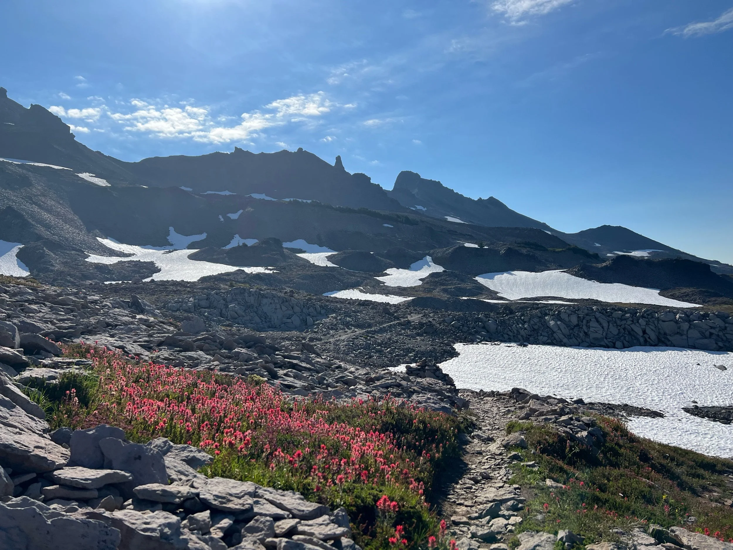
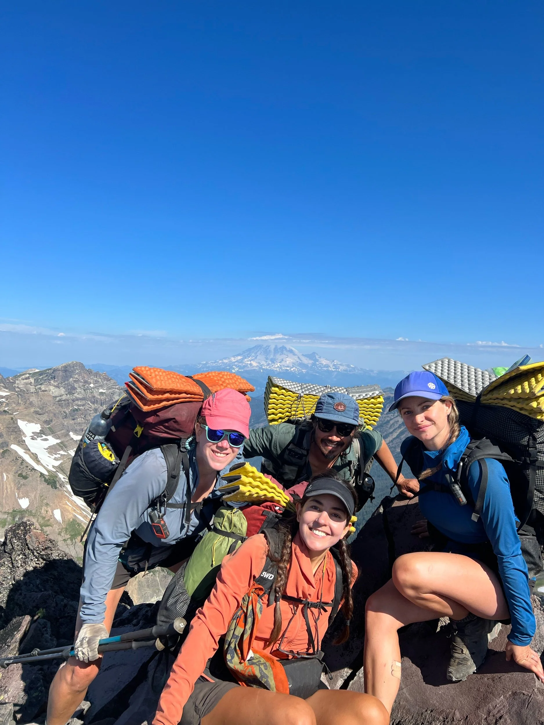
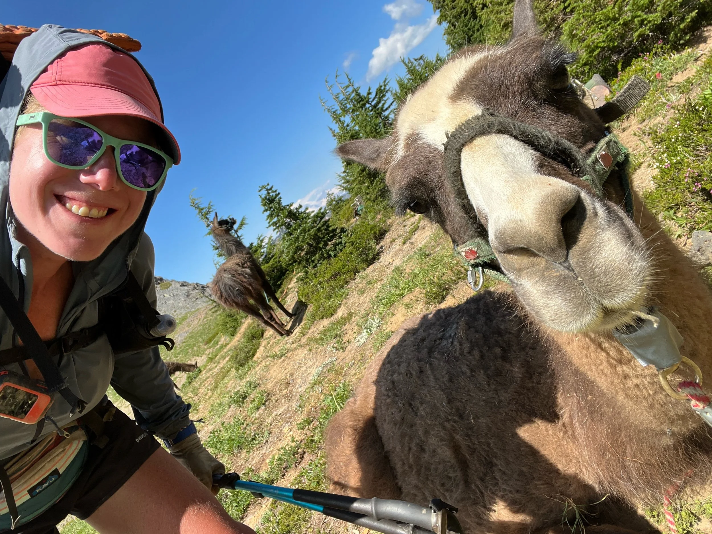
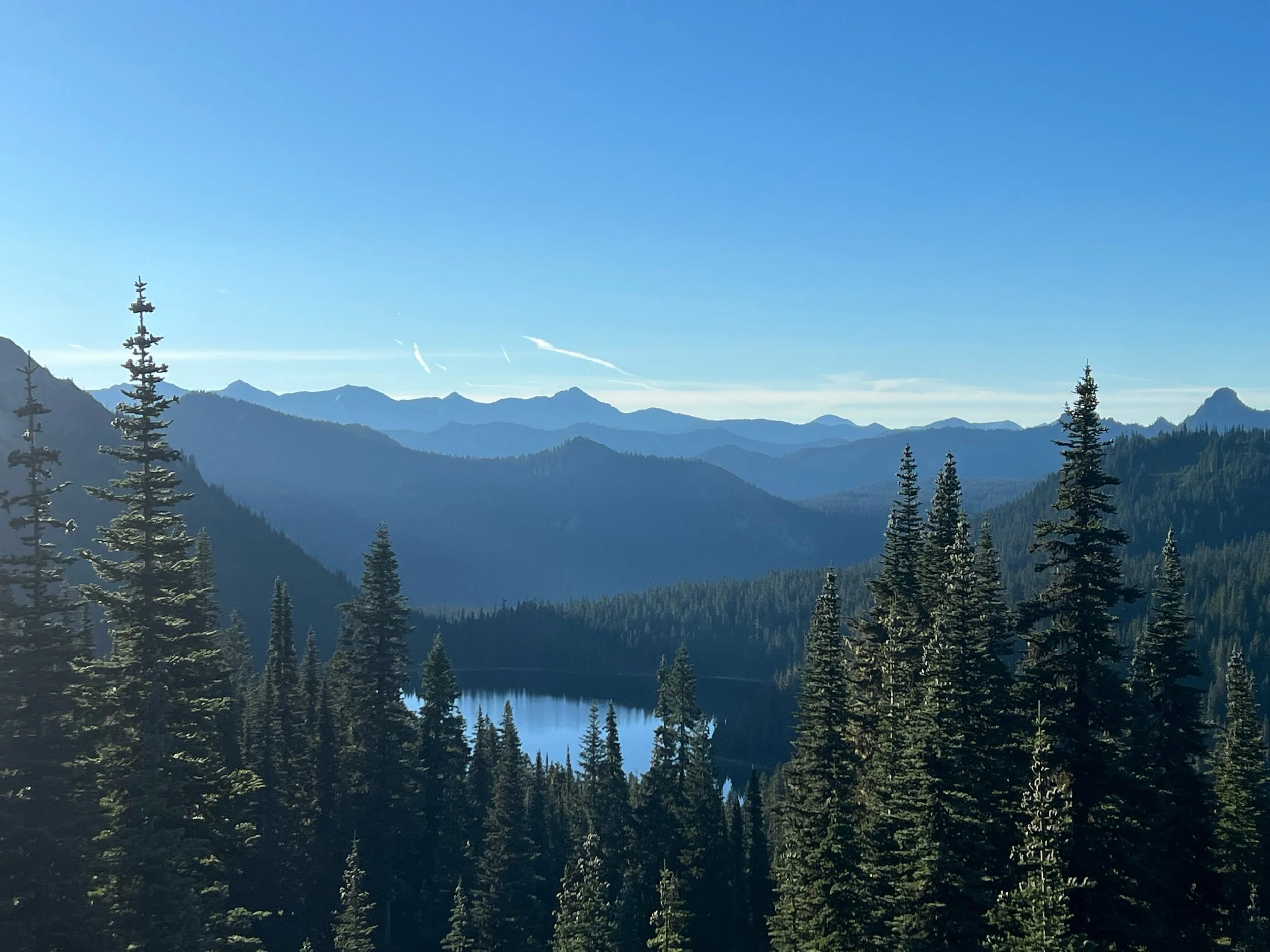
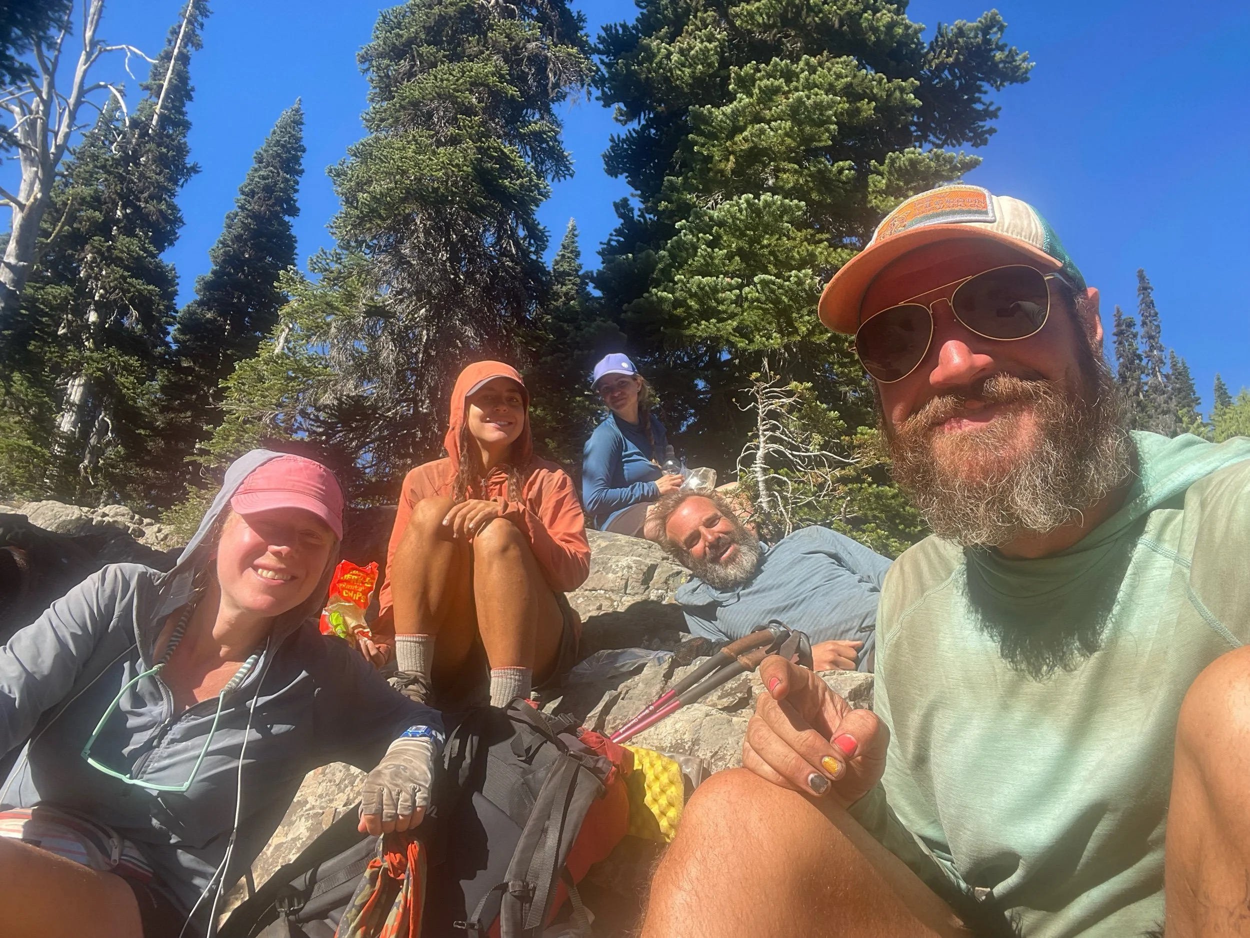
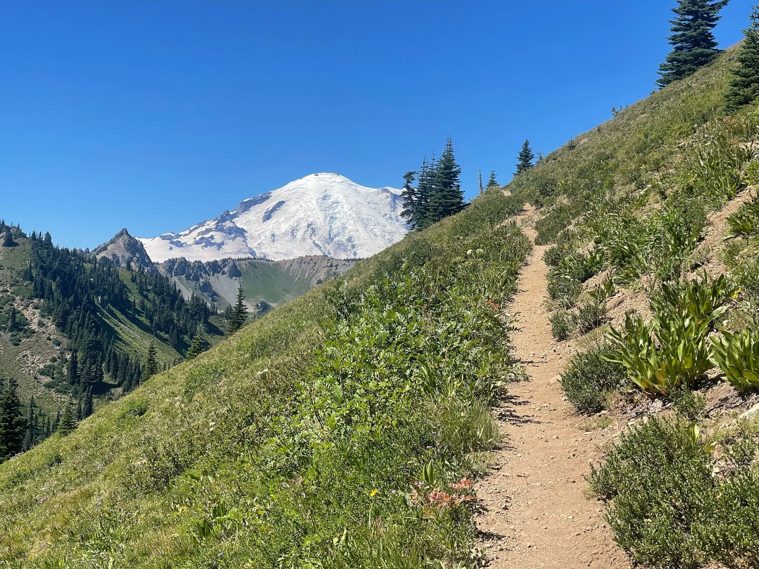
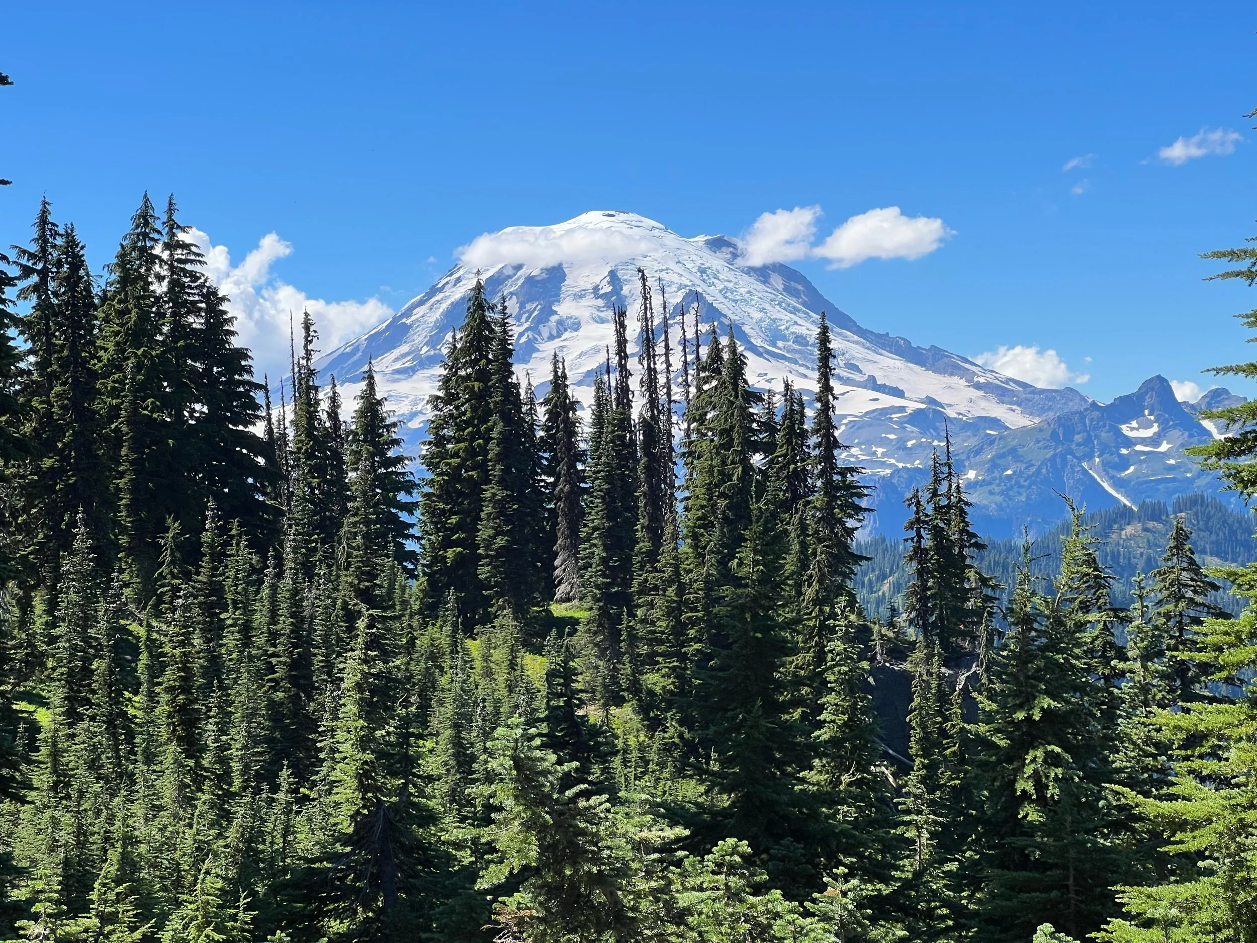
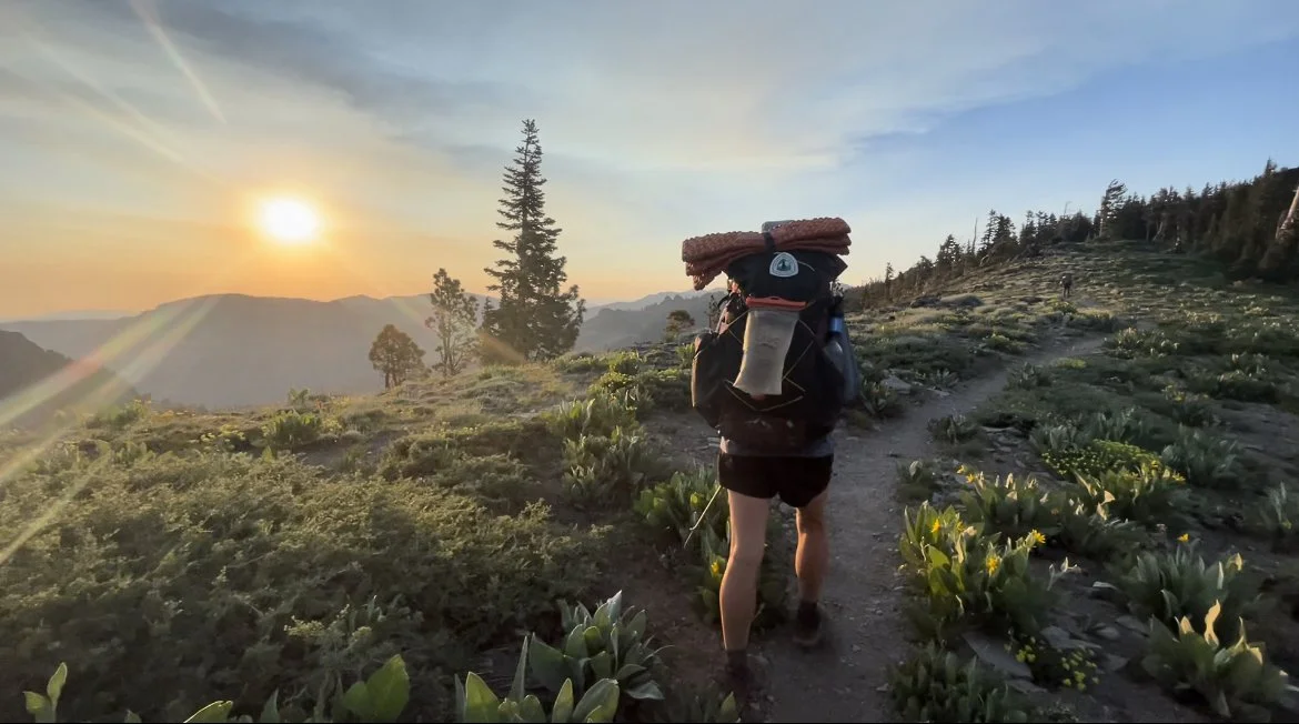
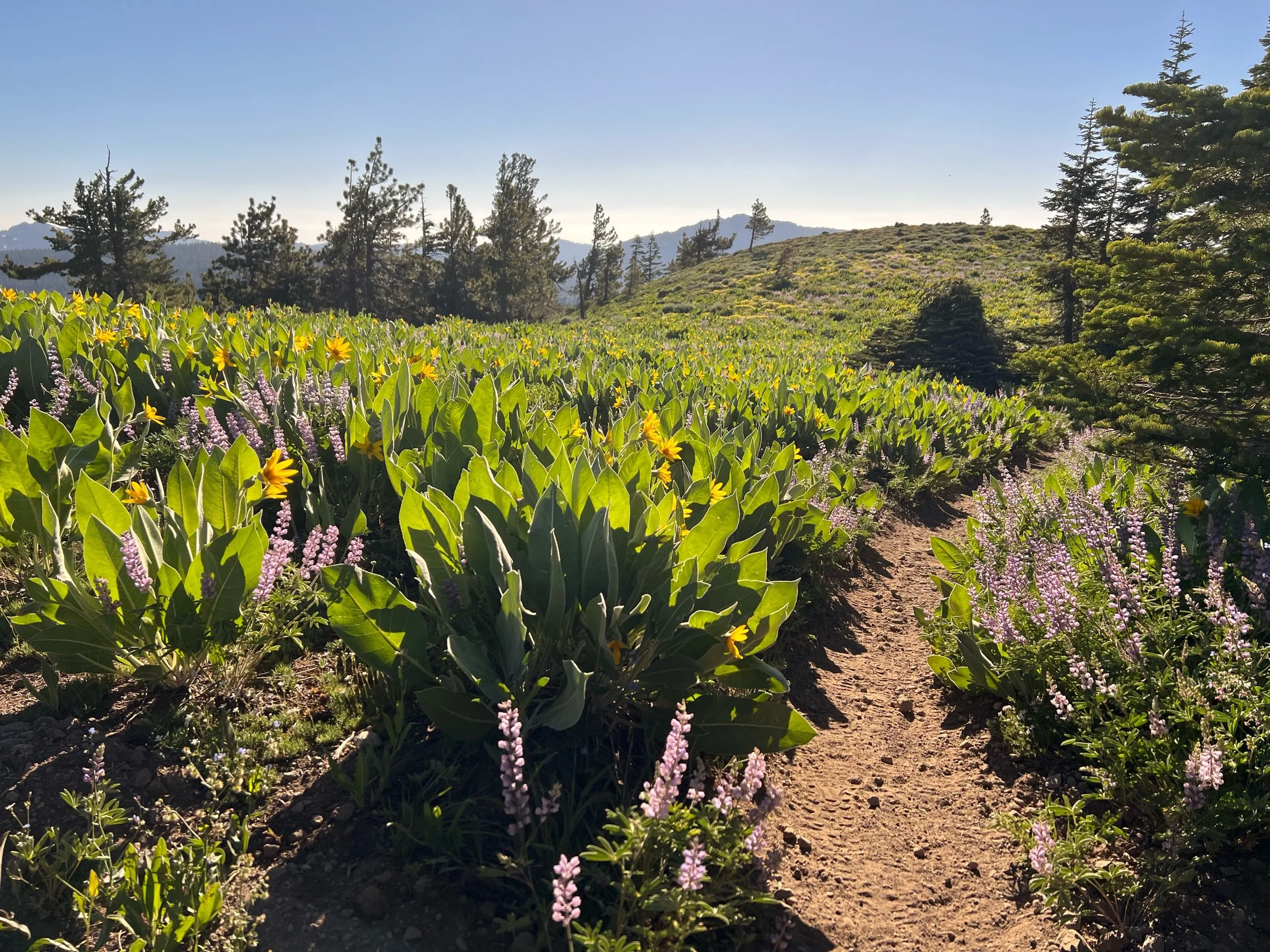
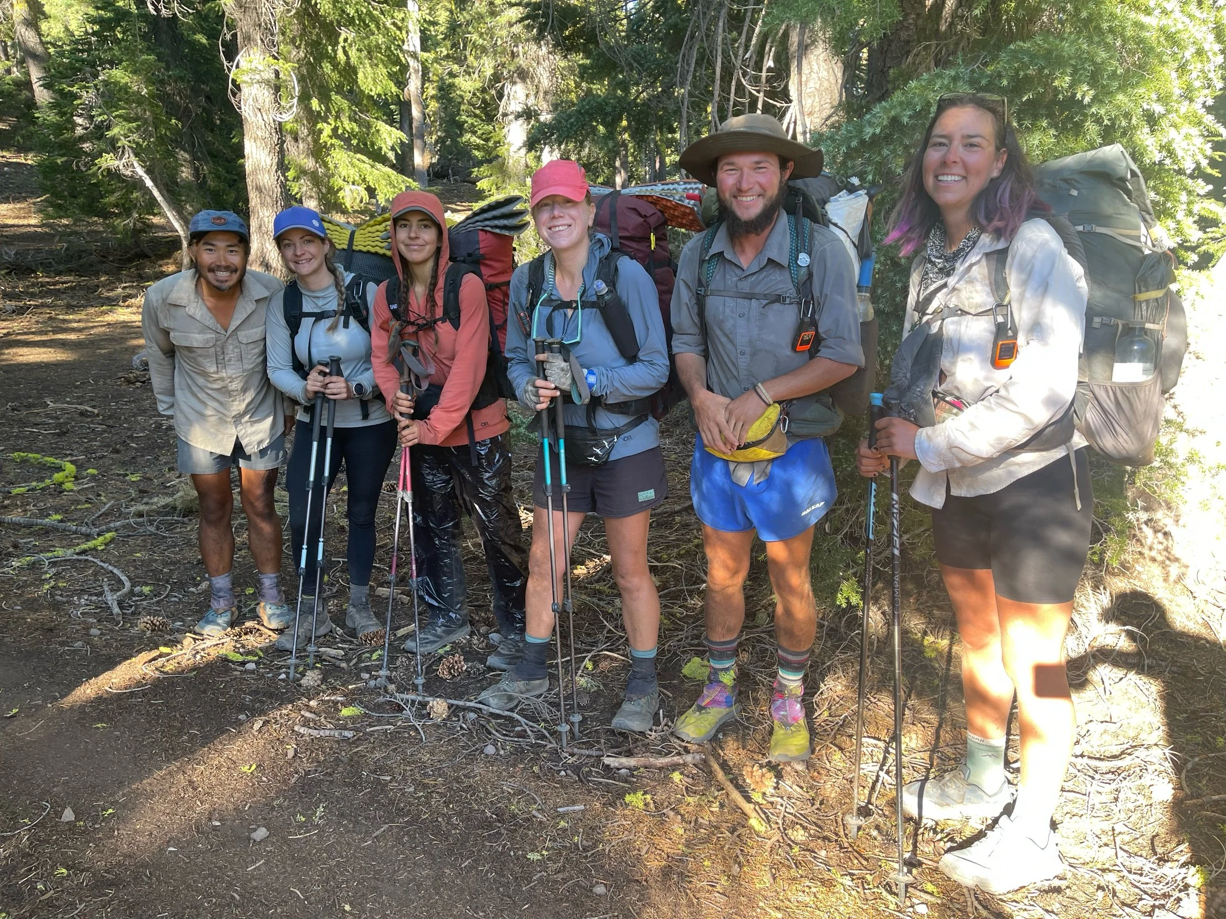
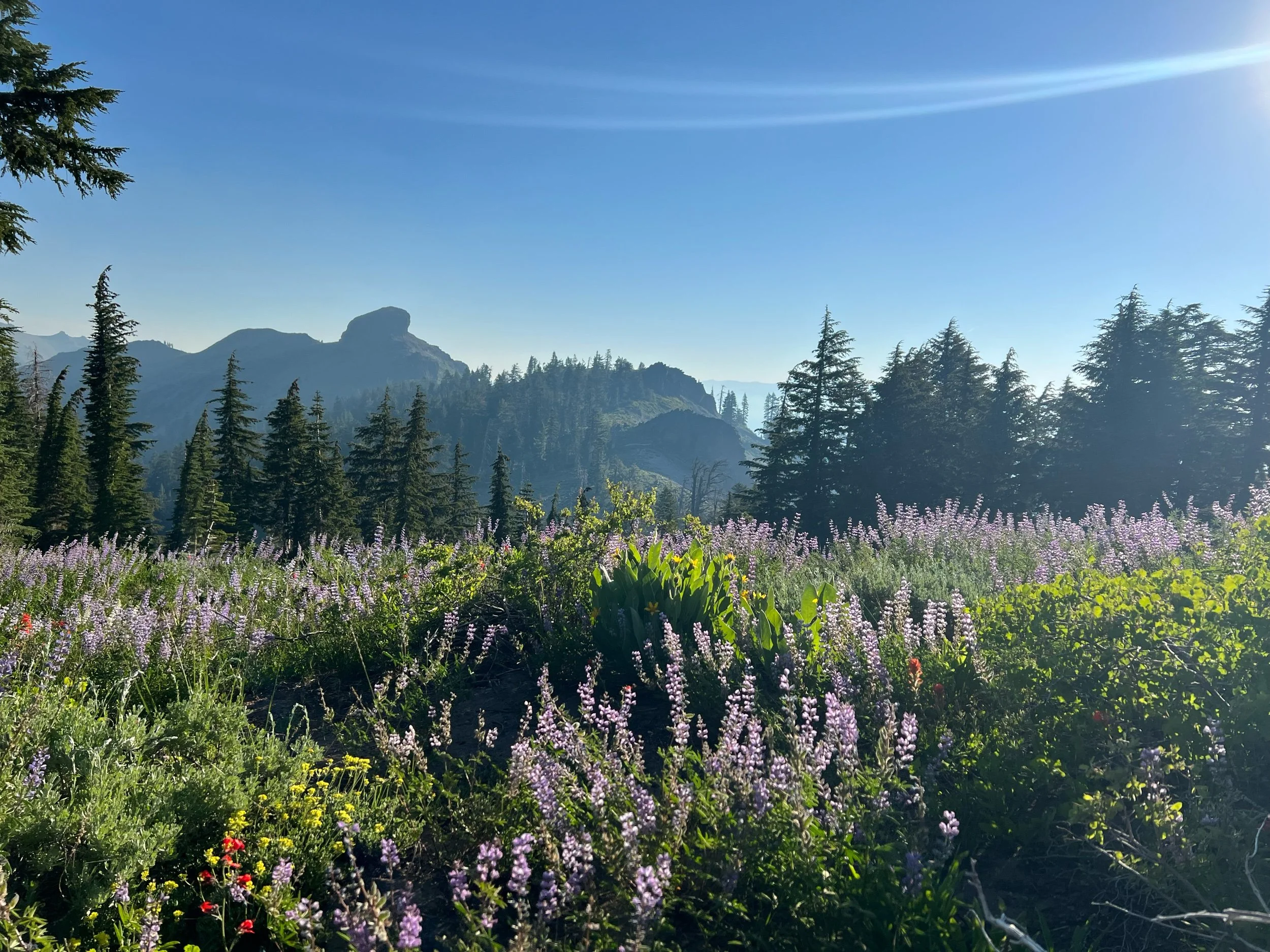
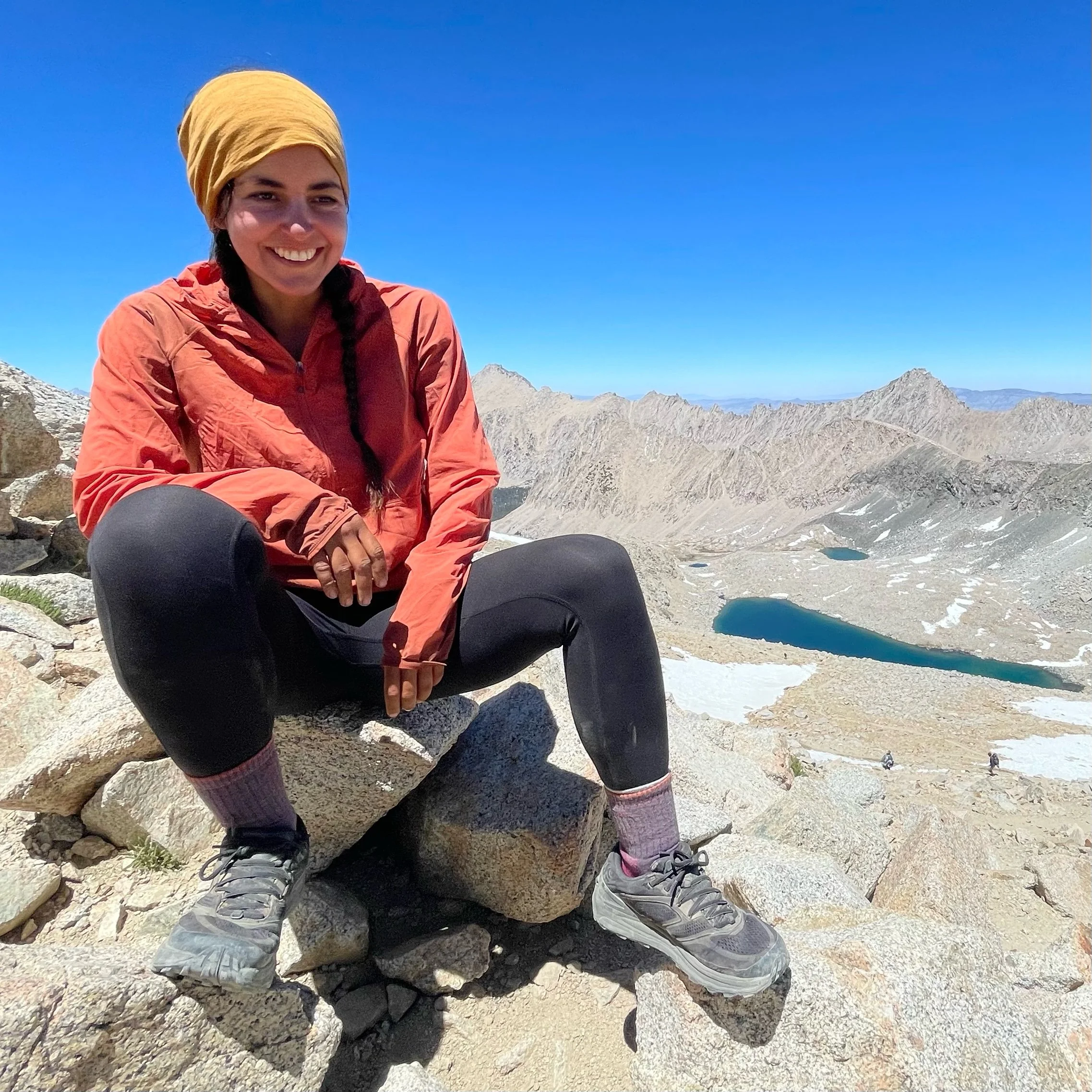
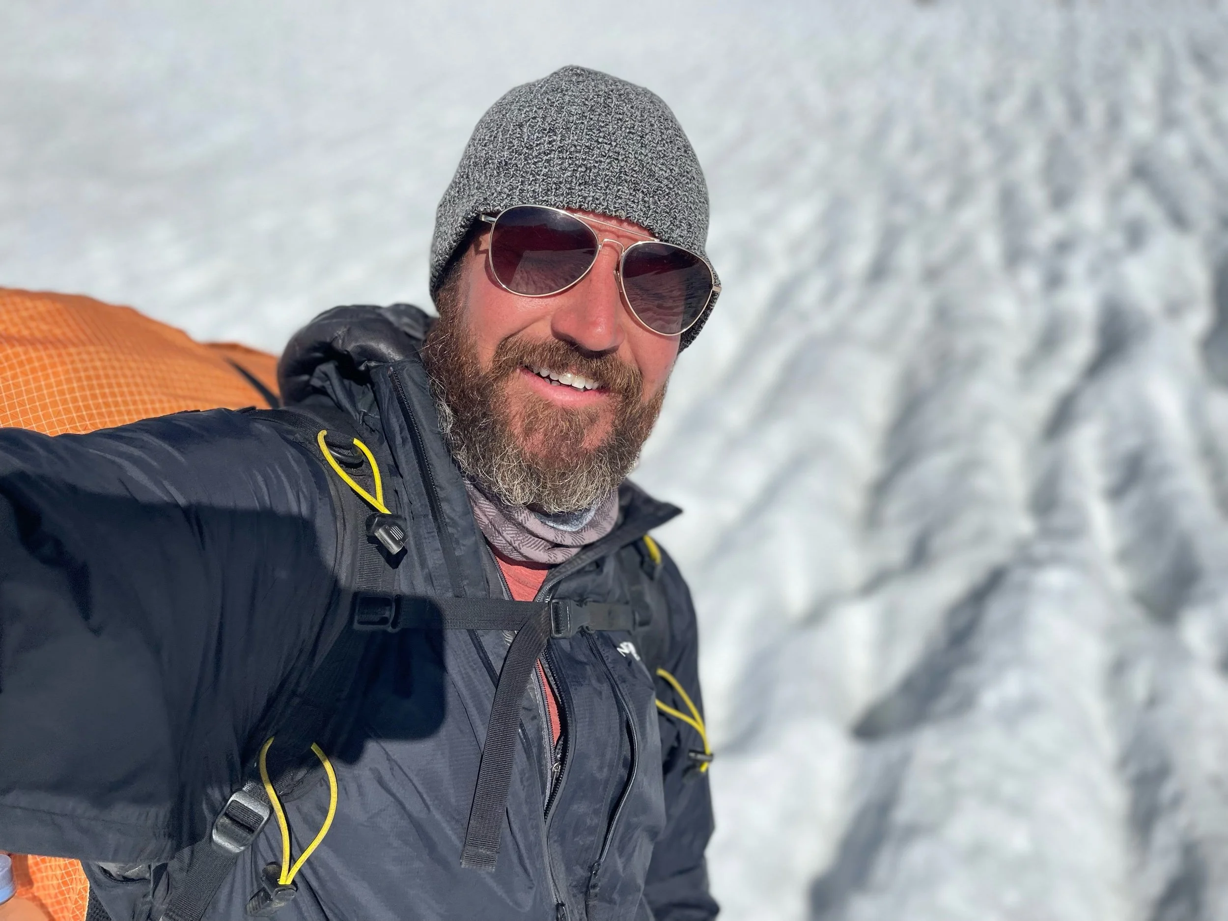
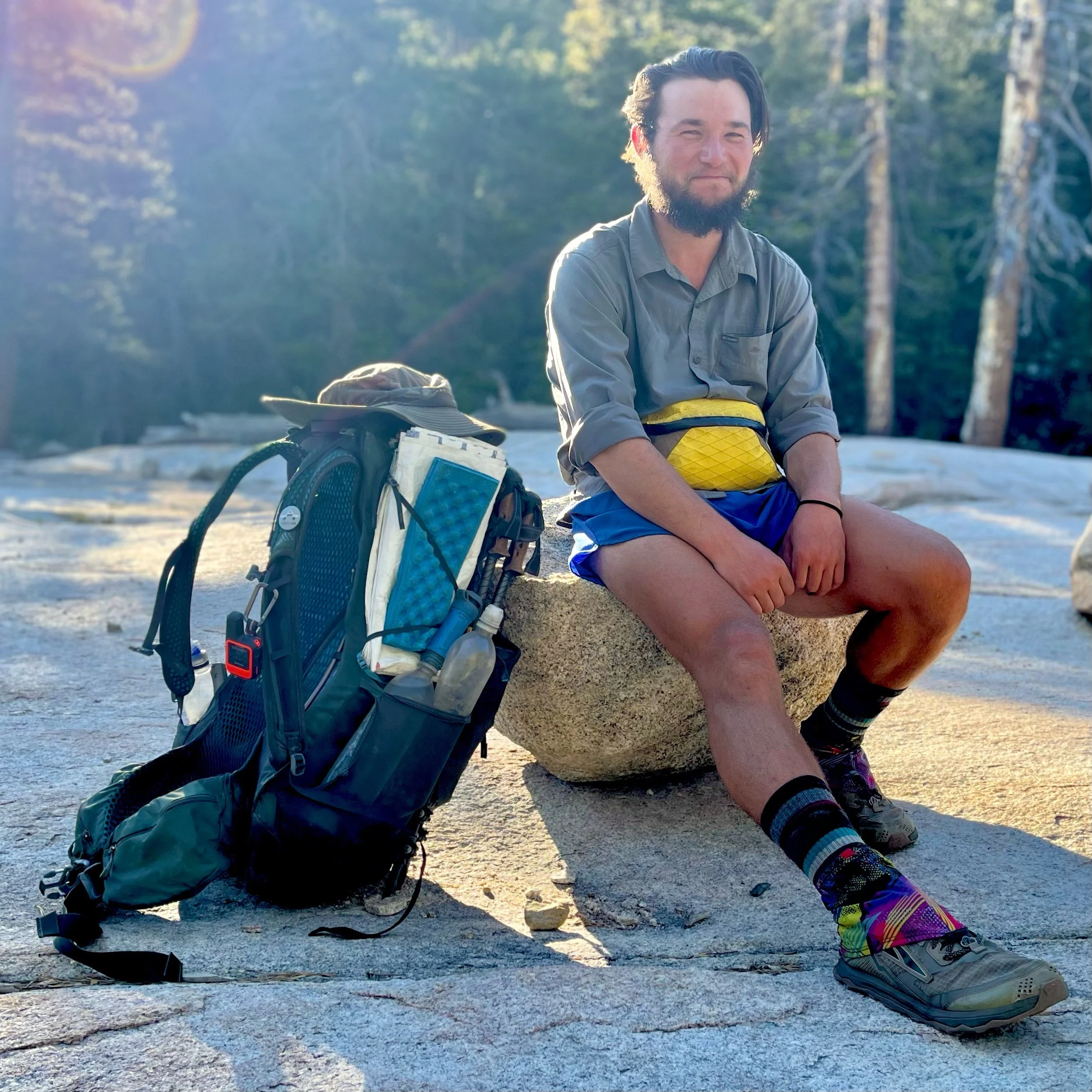
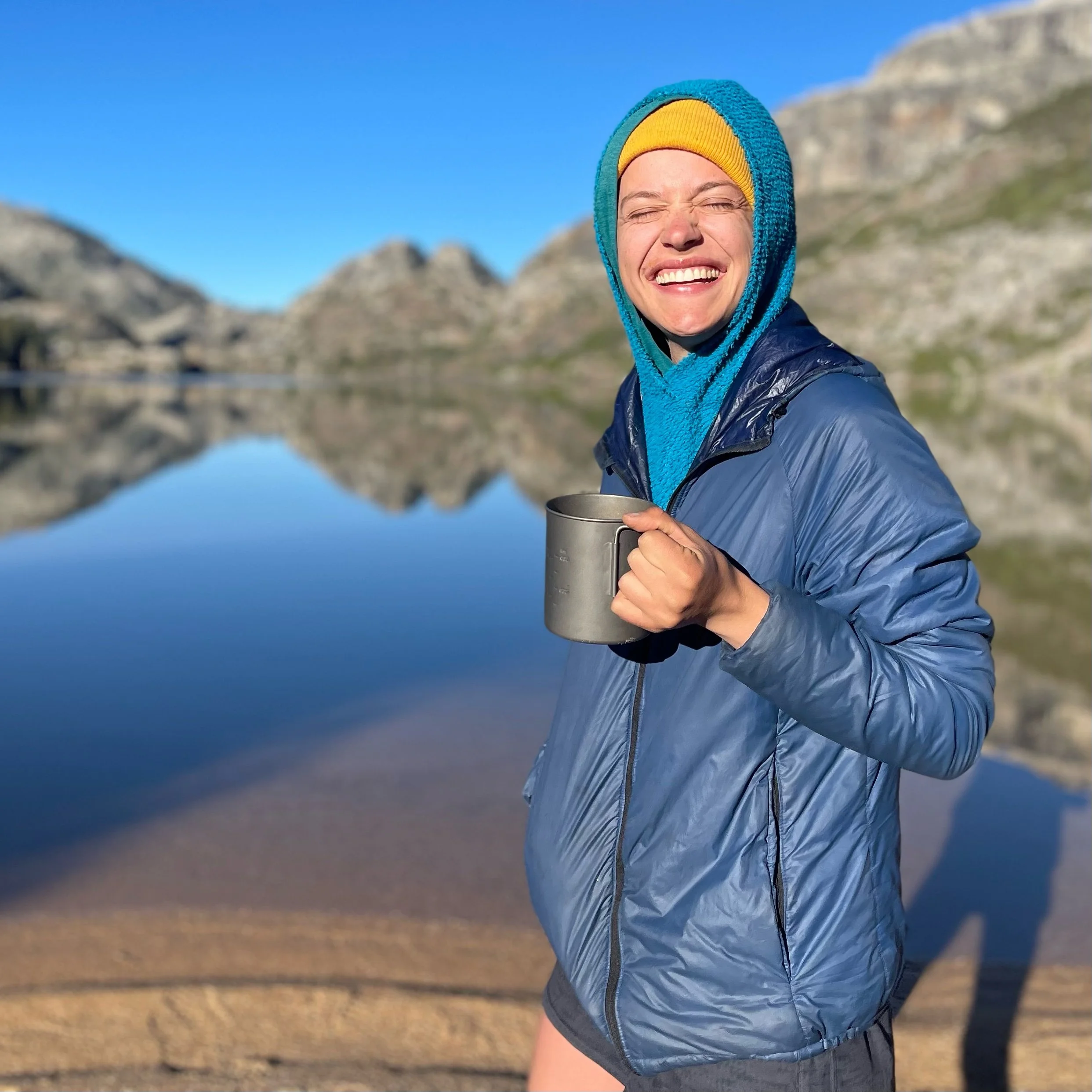
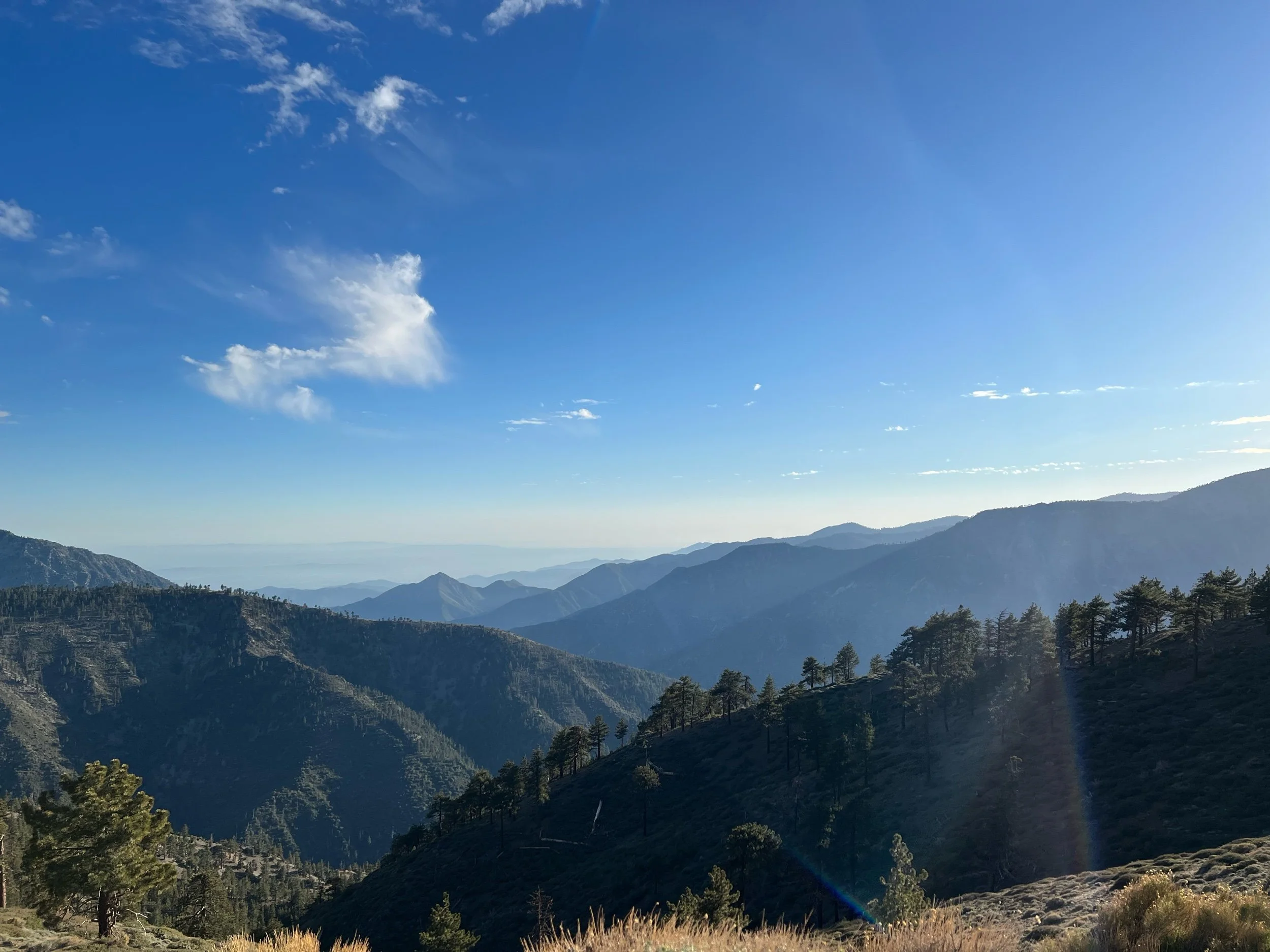
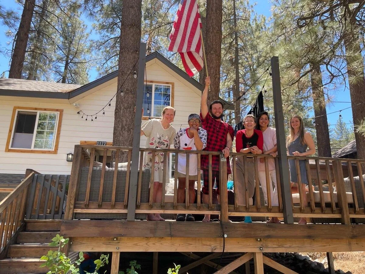
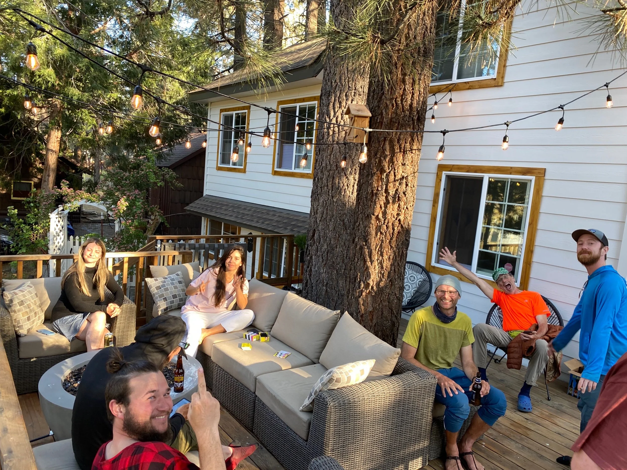
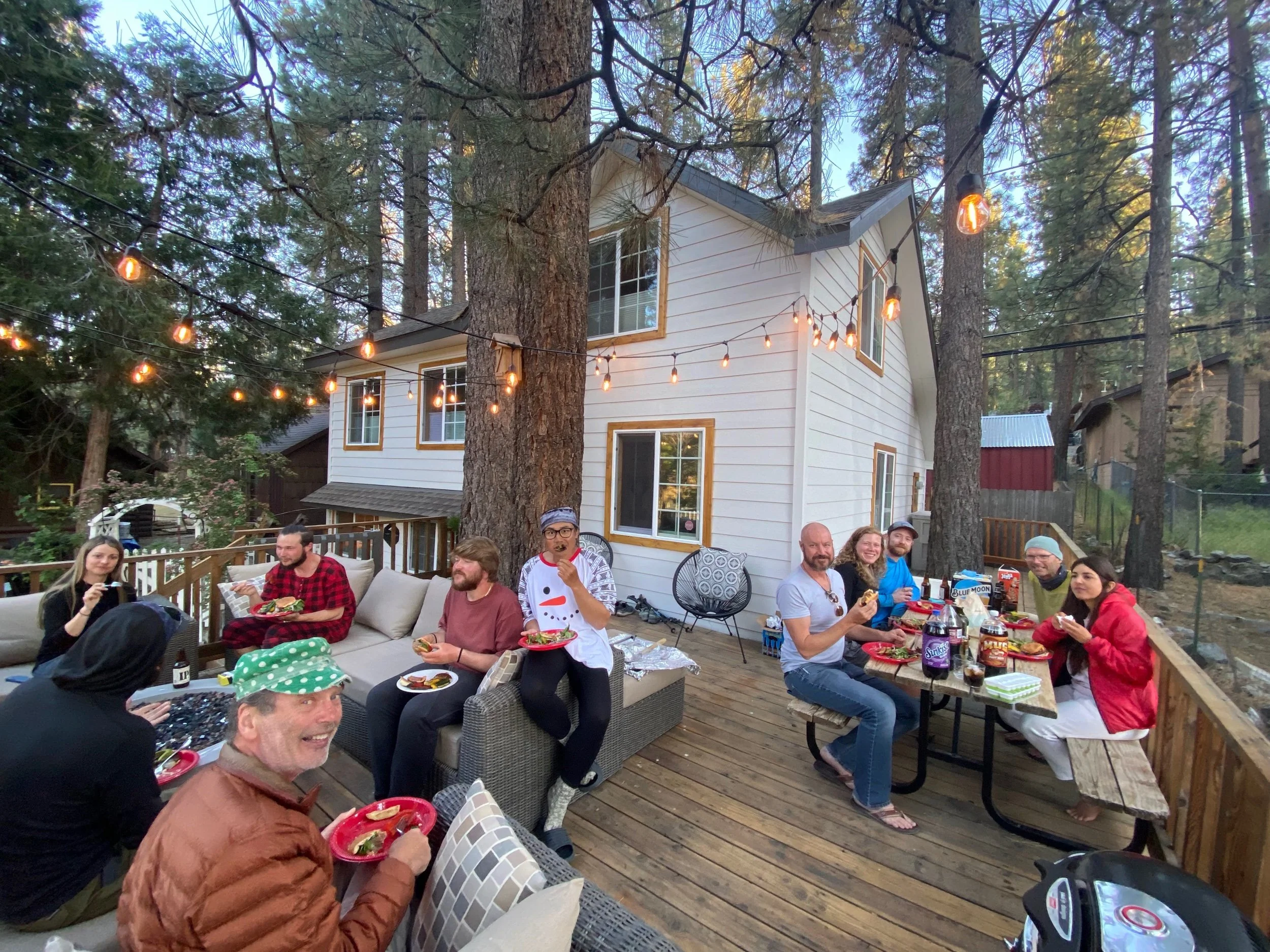
Learning the Art of Walking Slow
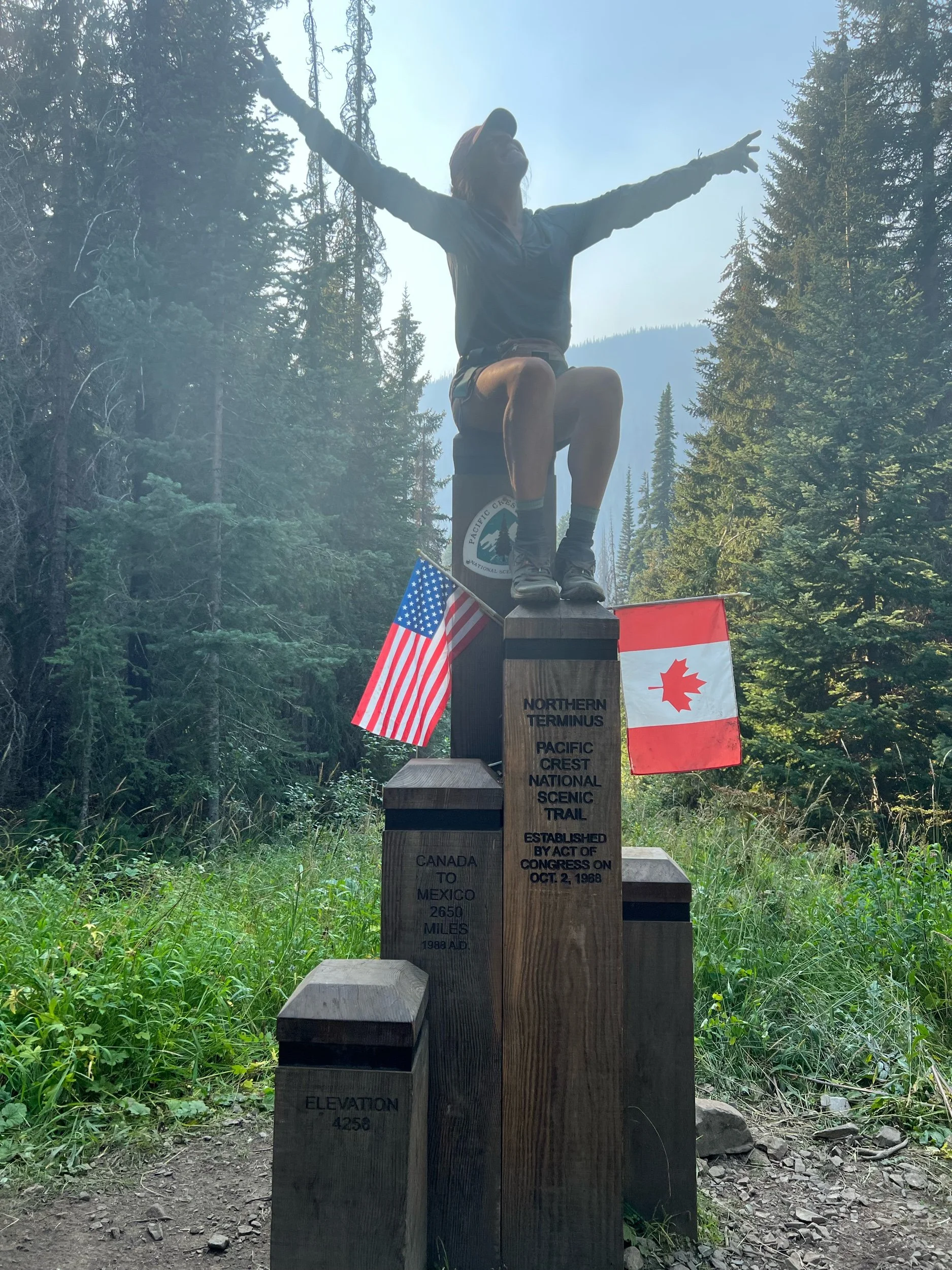
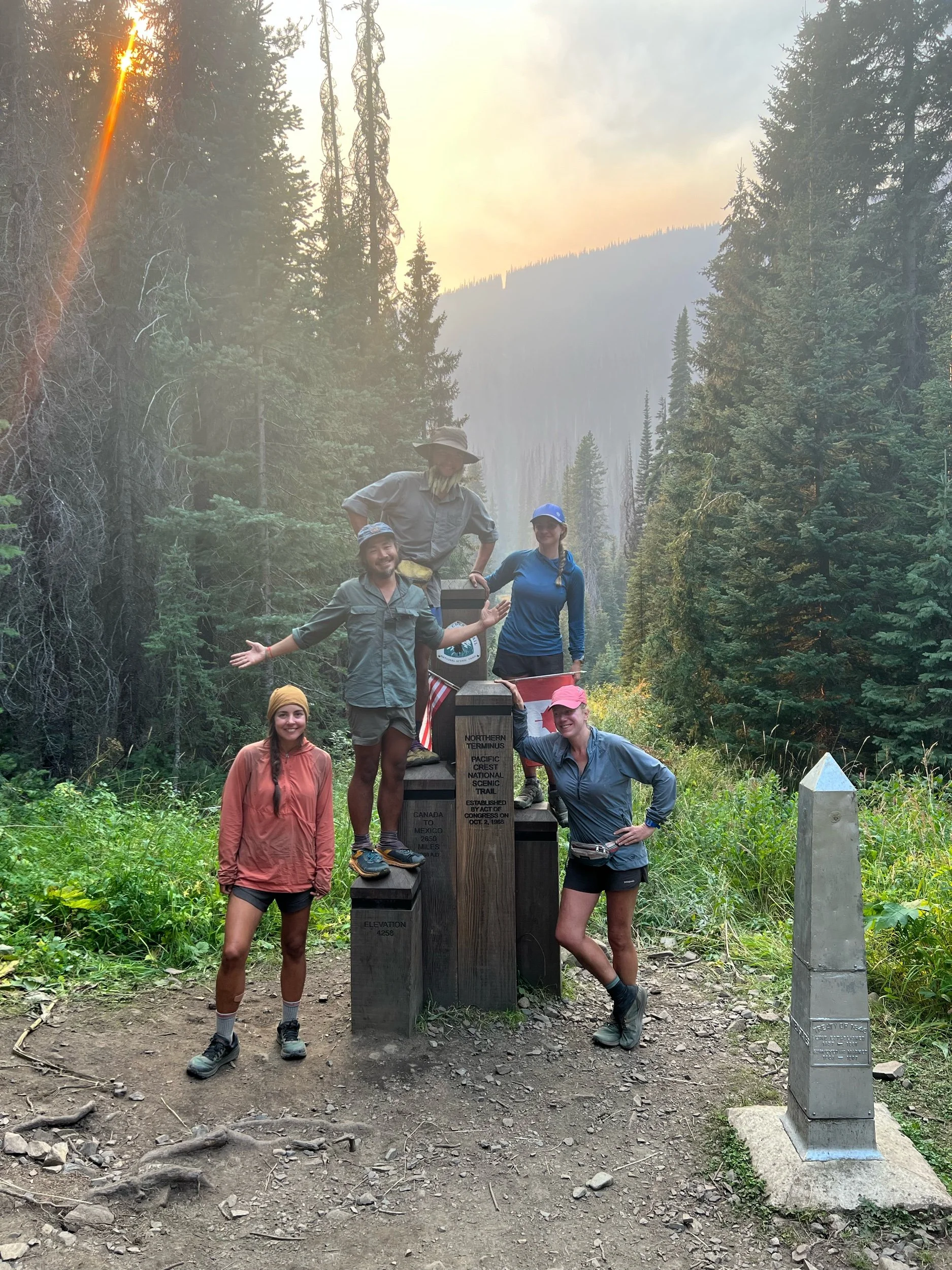
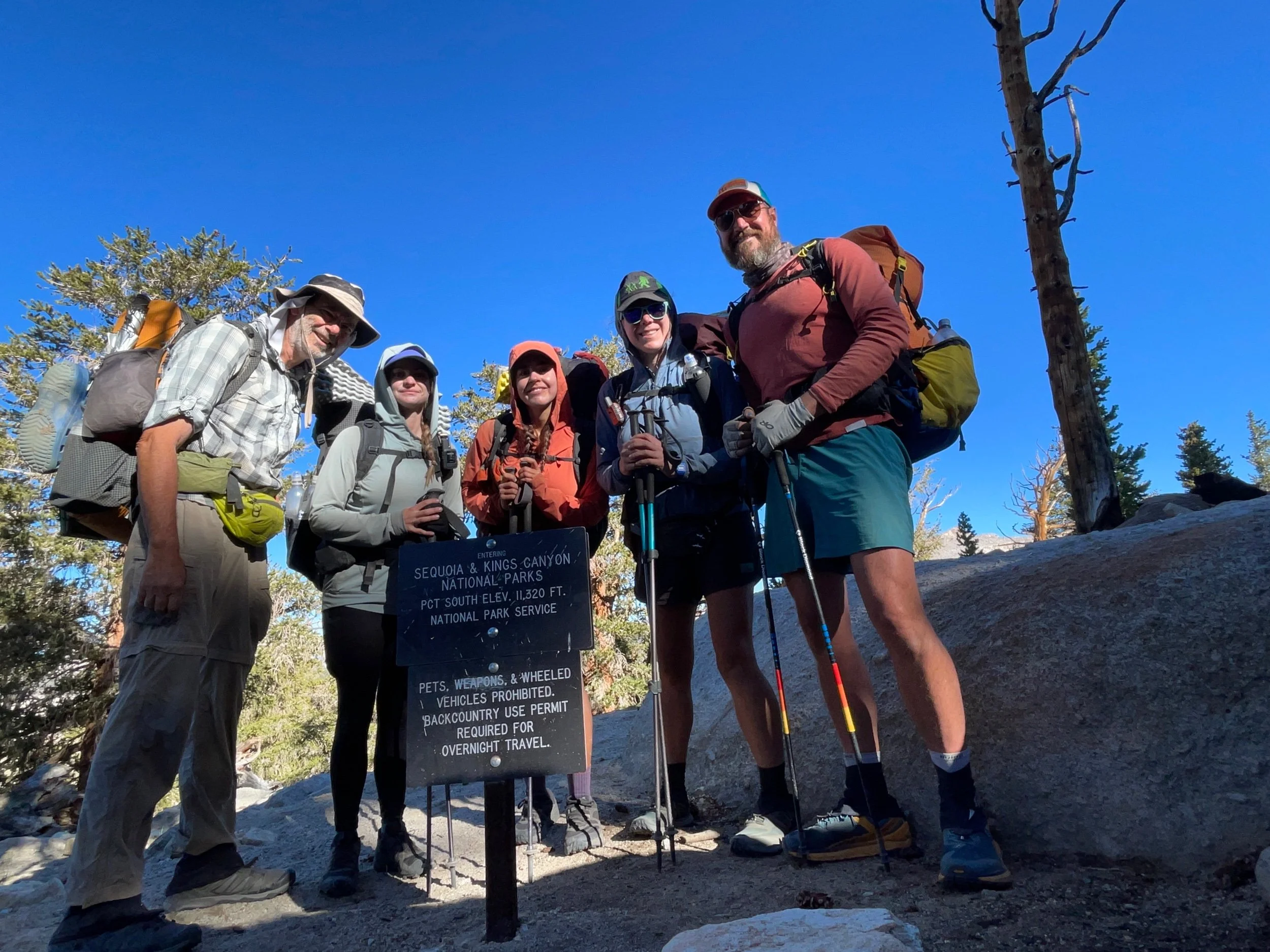
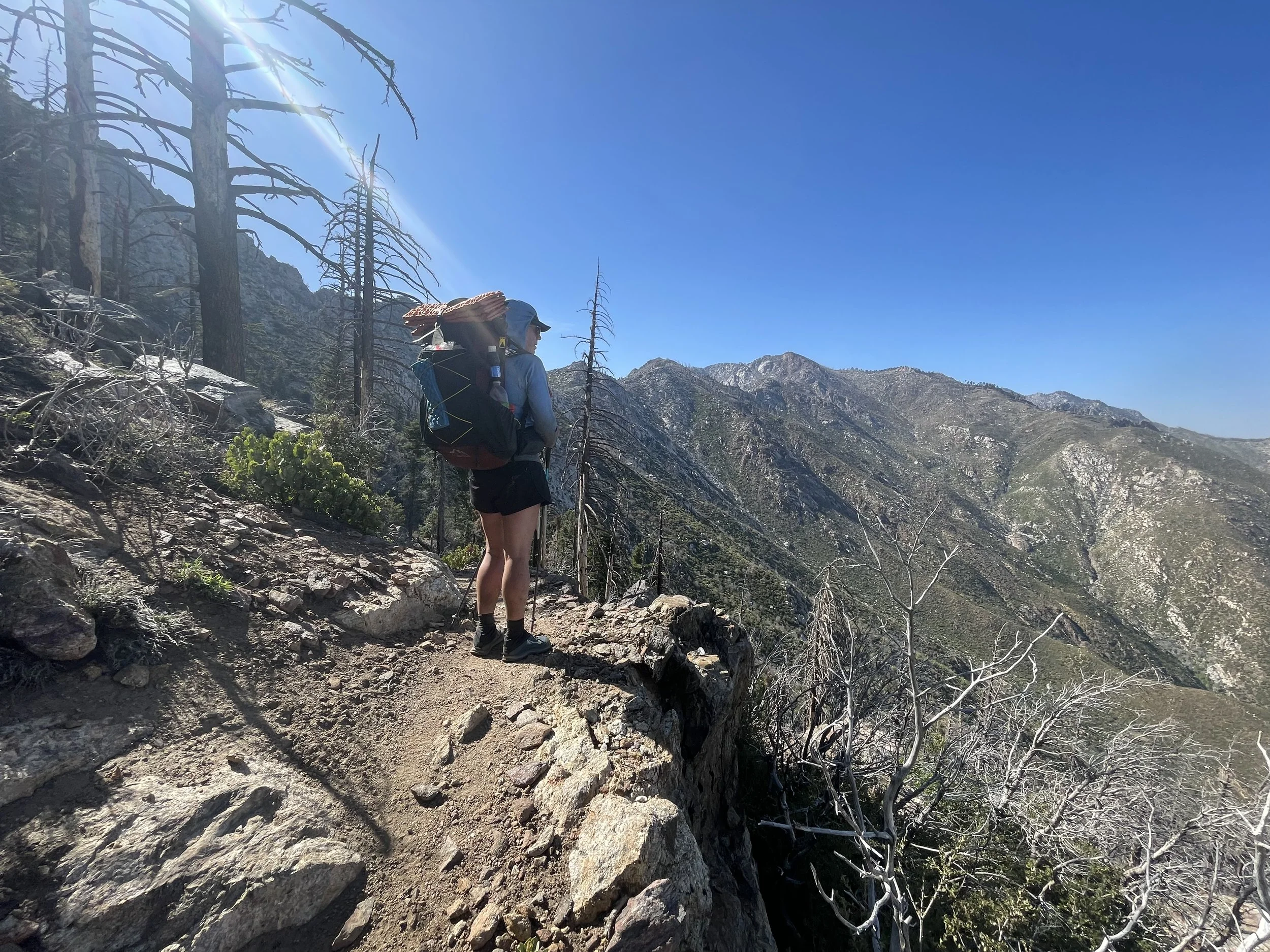
On October 1, I walked my last steps of the PCT. Wow, it feels strange to write that. At points, I definitely thought that I would be hiking forever. Many emotions are wrapped up in that first sentence, but I’ll begin with some figures. All told, over the course of five months and fourteen days (April 18-October 1), I hiked a little over 2,500 miles, having to skip about 140 miles in central Oregon due to the Cedar Creek Fire. Other than those miles in central Oregon, I hiked every other mile of the trail. Sitting here now, I wish I could have hiked each and every mile, in small part so I could say I hiked the entirety of the trail. But, I mostly wish I could have hiked those miles because I would have had a few more days on trail, living a life of adventure, simplicity, and beauty shared with people I’ve come to cherish. However, I recognize that all things eventually end, and my heart is fuller than it’s ever been. It is fuller with love and gratitude for those that I met along the trail, but also for those that supported me from afar—my parents, family, friends, and colleagues. They encouraged me when I told them about this crazy idea, helped me along the way, and have welcomed me back with open arms.
If you read my last post, you may have sensed that I had a tough time in parts of Washington. Towards the end of Washington, I wasn’t sure if I wanted to keep hiking and make the effort to return to northern California to make up the ~600 miles that I’d missed due to the fires that closed the trail in early August. But, my gut told me I needed to go back to do those miles, not so I could check a box that I hiked each mile of the PCT (okay, we all know that was a small part), but for a reason I didn’t know yet. I simply knew it was the right decision to go back. And it was.
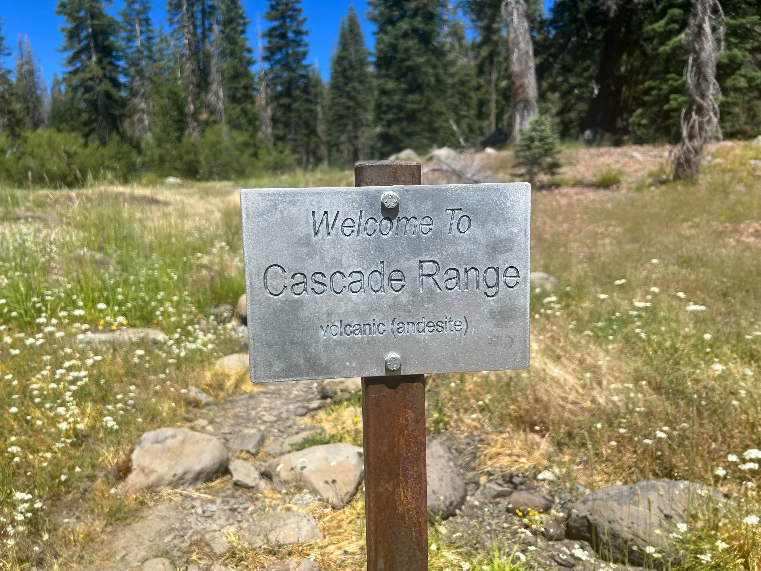
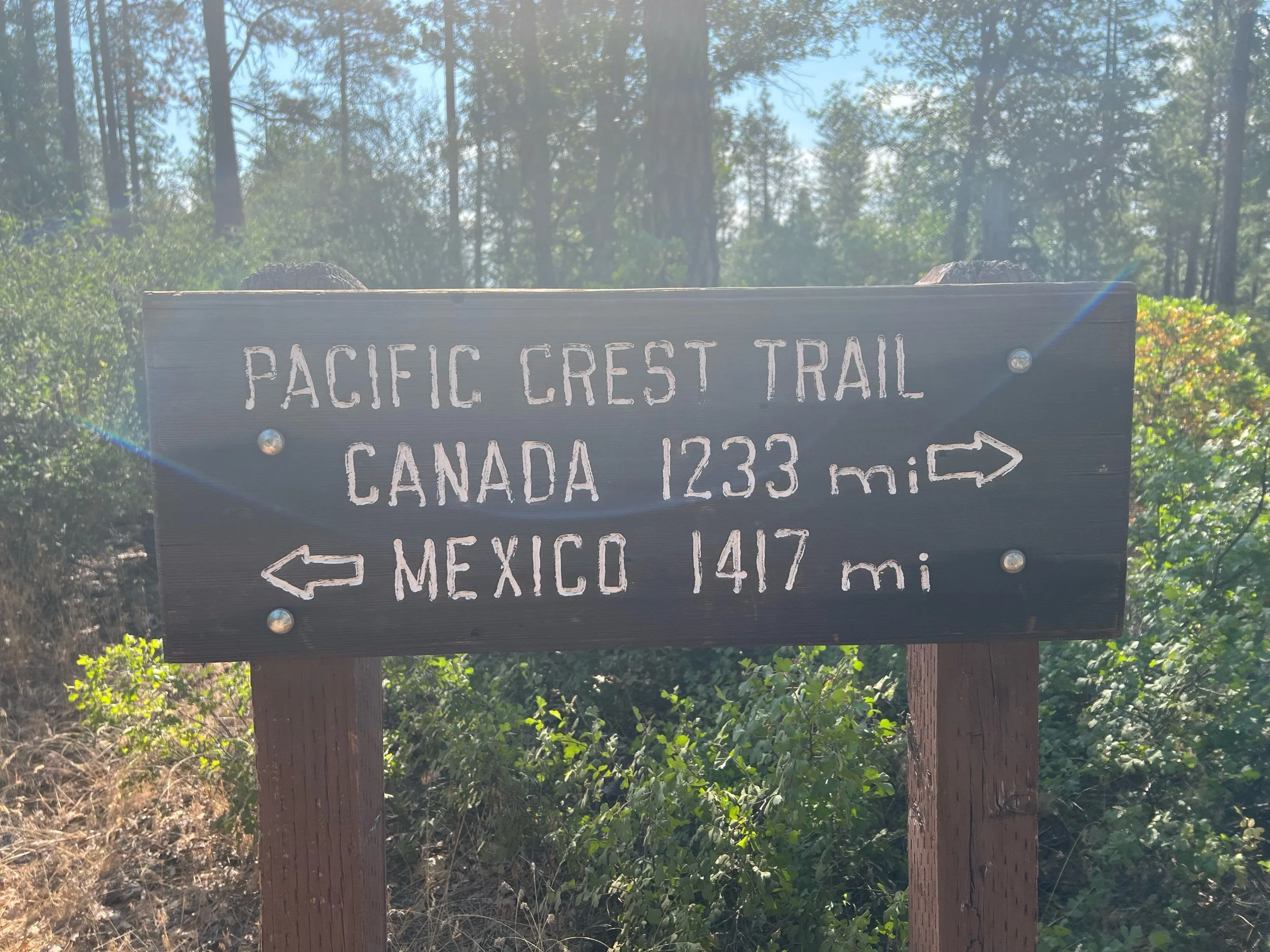
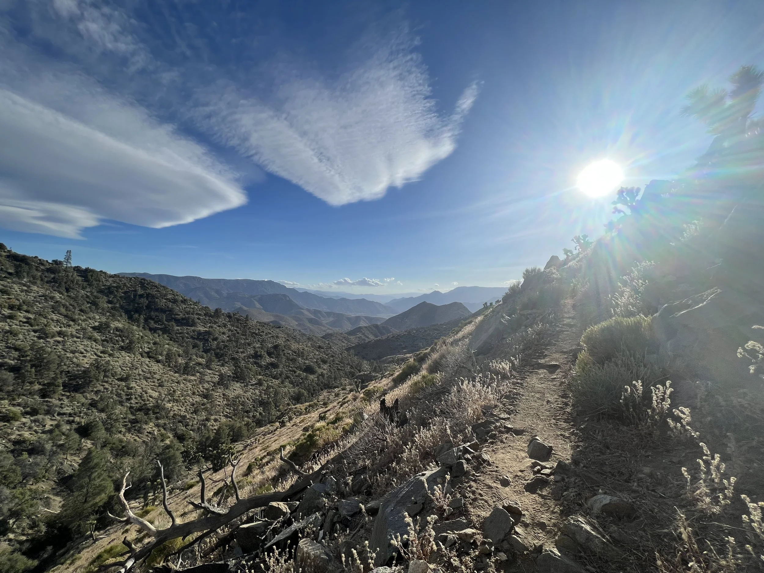
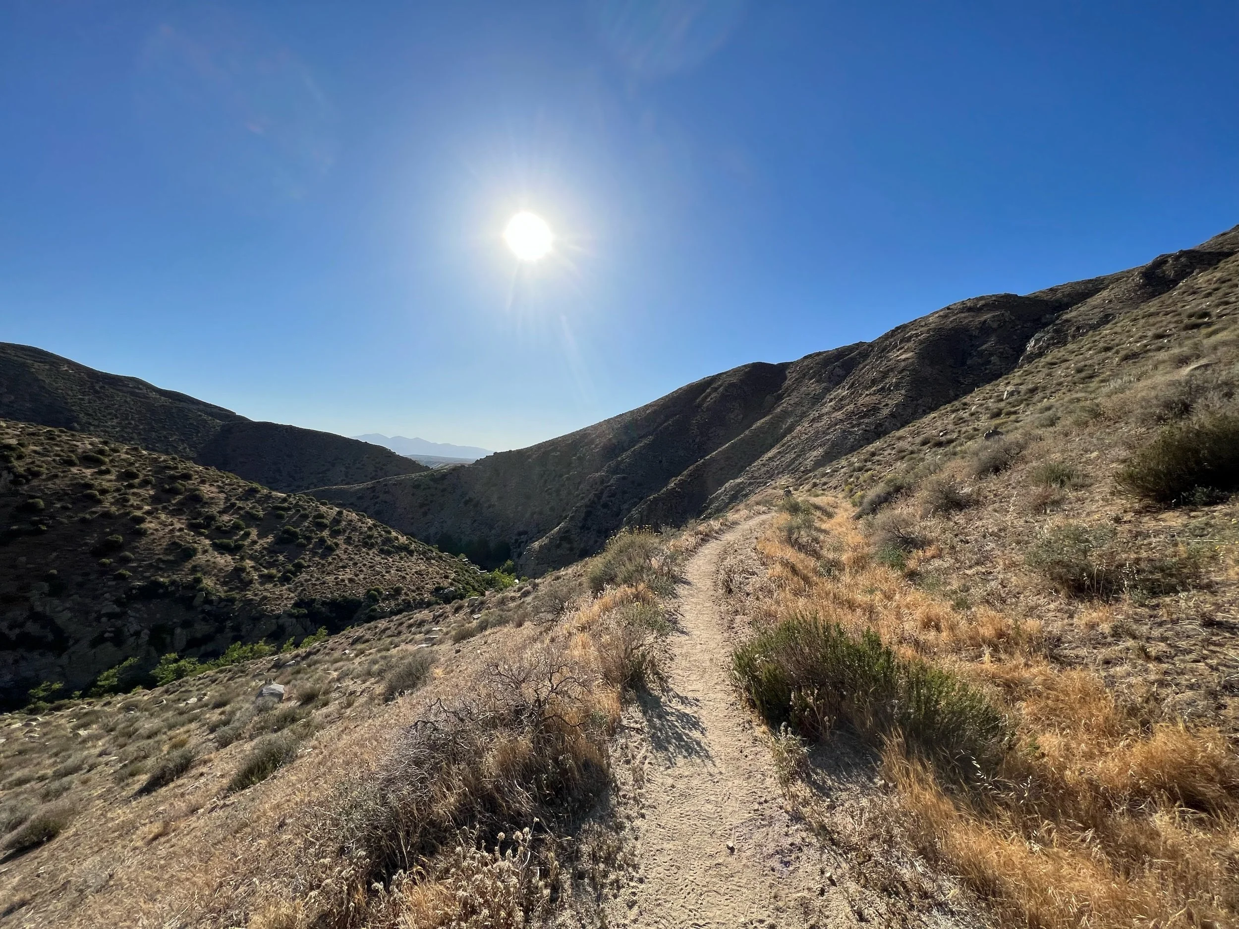
After Washington, Illy, Squeezy, Caveman, and I made our way back to Mount Shasta, mile 1501. It was strange going from the northern Cascades of Washington to the southern part of the range in northern California. Northern Washington was more remote, more desolate, more untouched by humans. The mountains were more jagged, more steep, and less forgiving. And, although Washington was also plagued by fires, the aridity of northern California was more pronounced, with previous years’ burns lining the trail. The sun was stronger, the air drier. The sweat from my hiking shirt evaporated in minutes, rather than being cold and damp each morning I had to put it on. It was simply hot again.
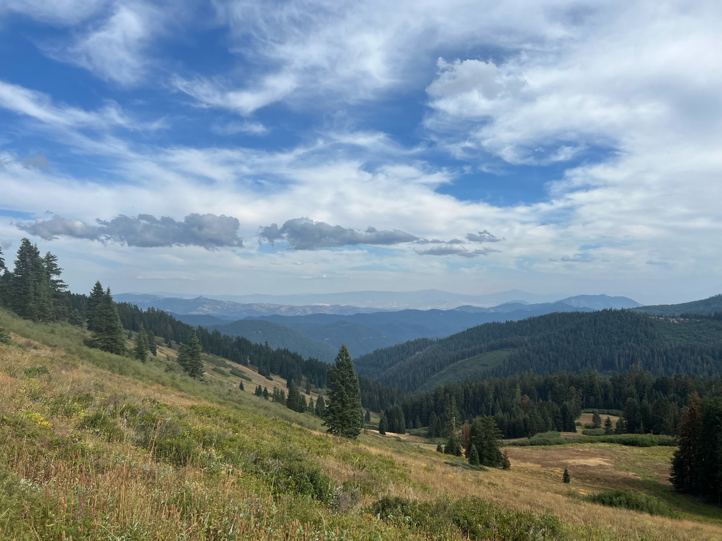
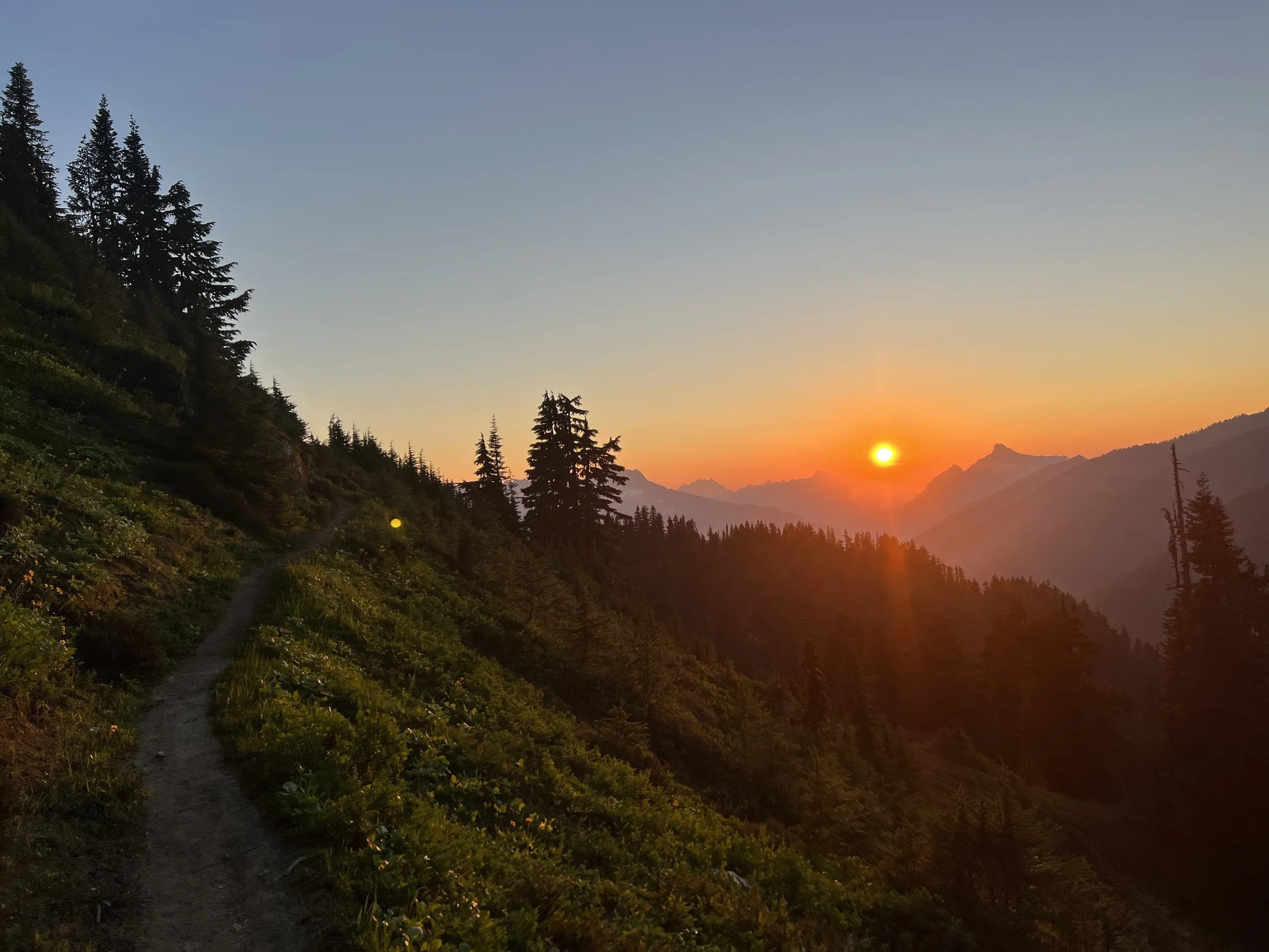
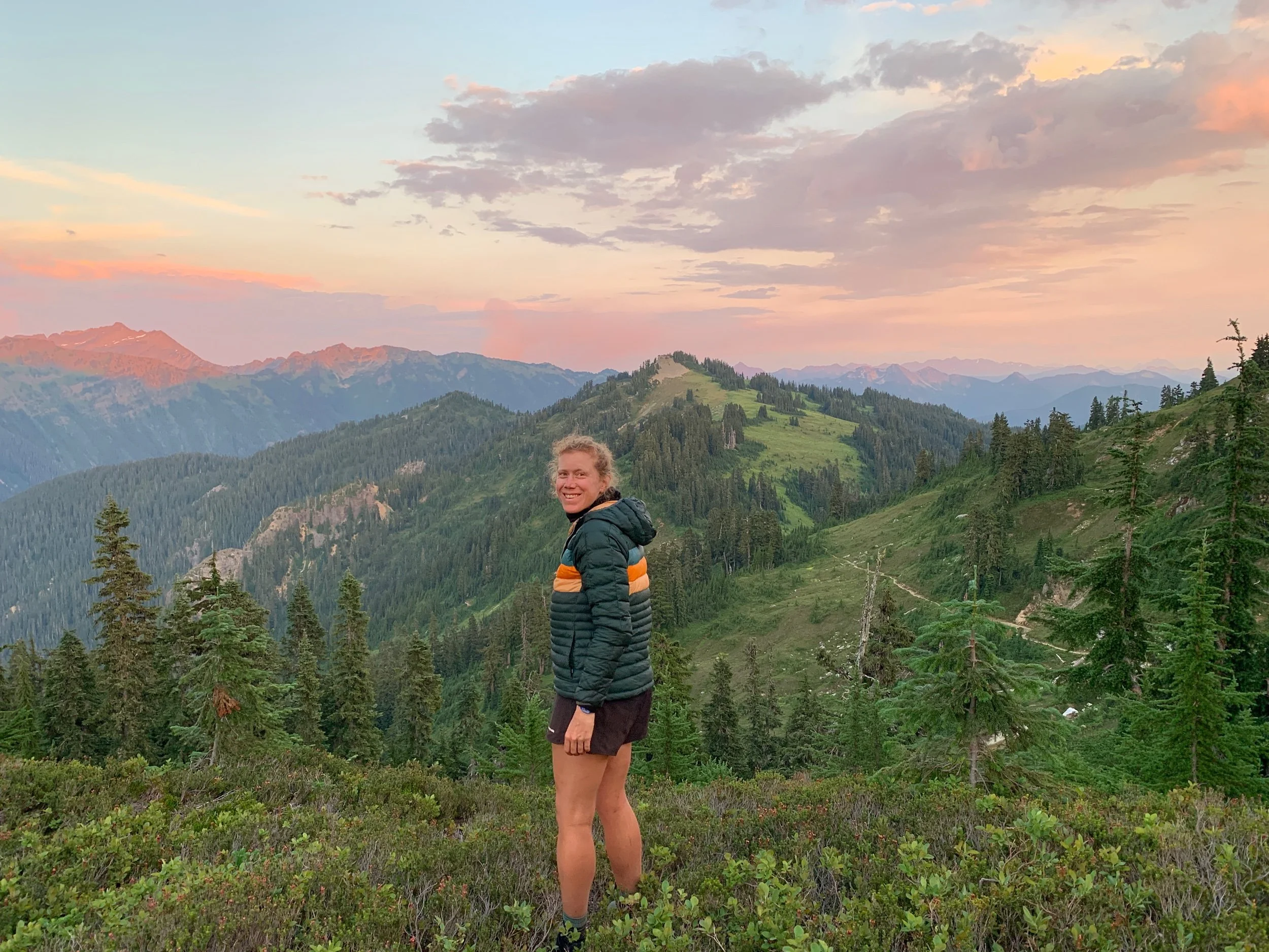
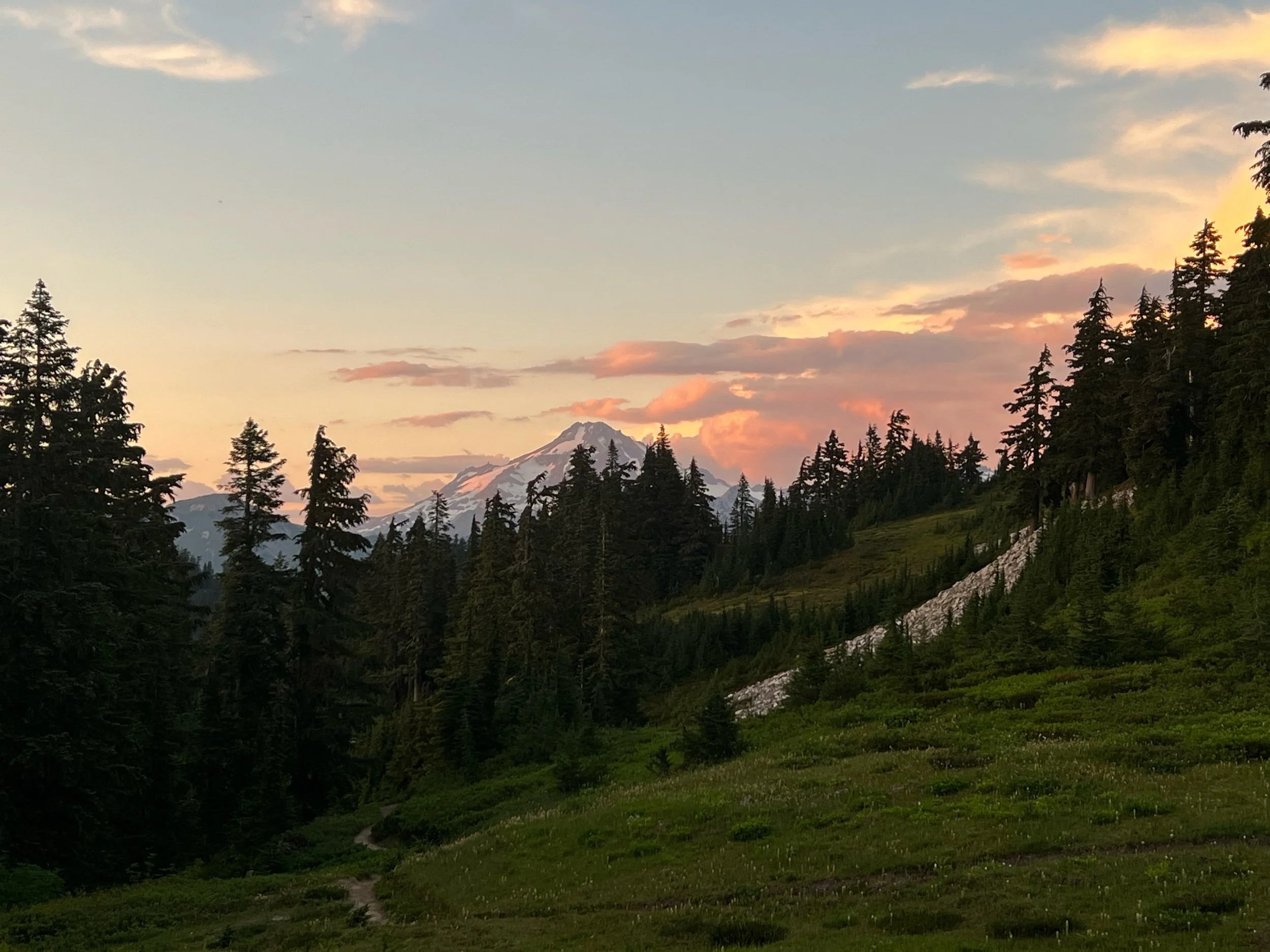
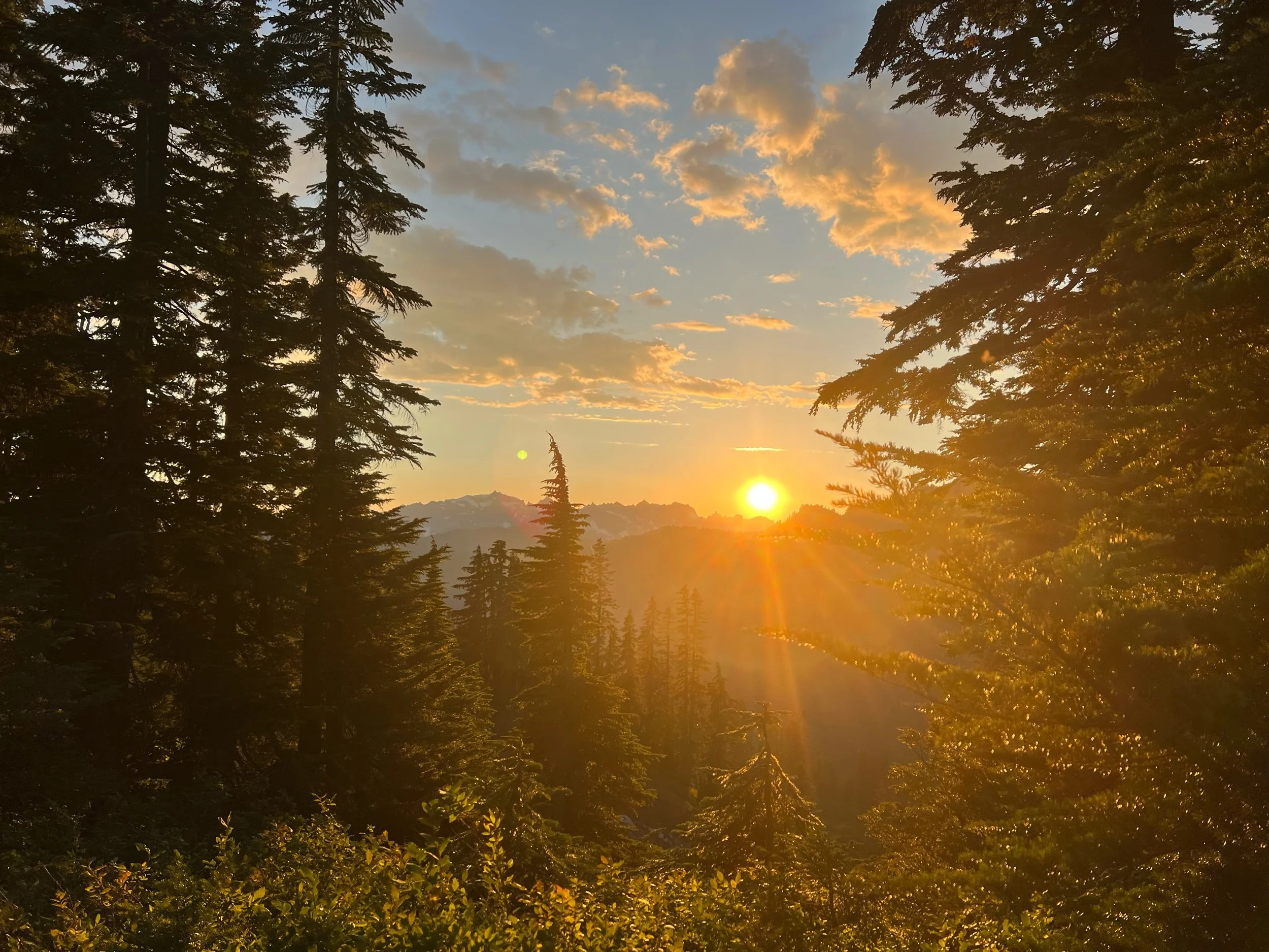
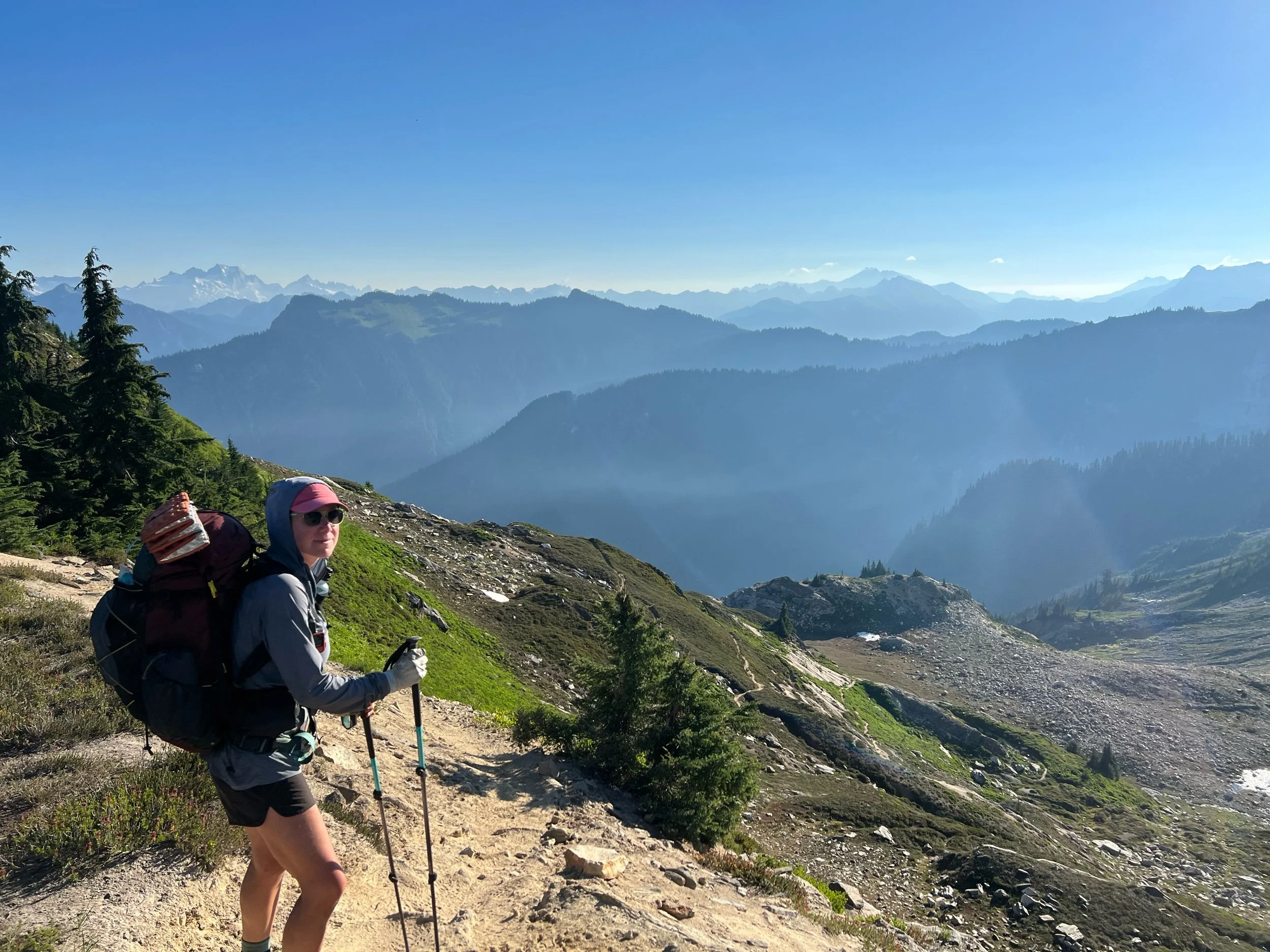
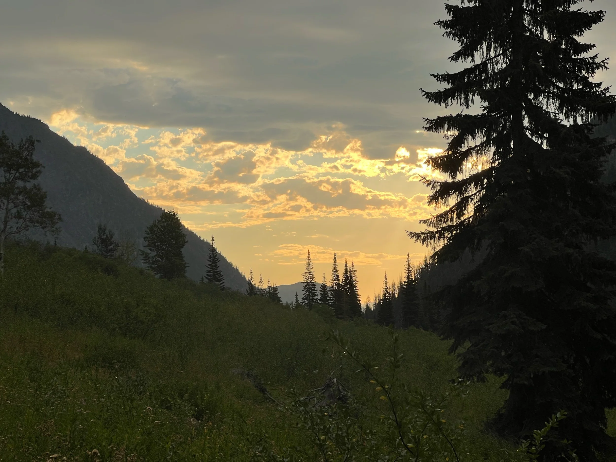
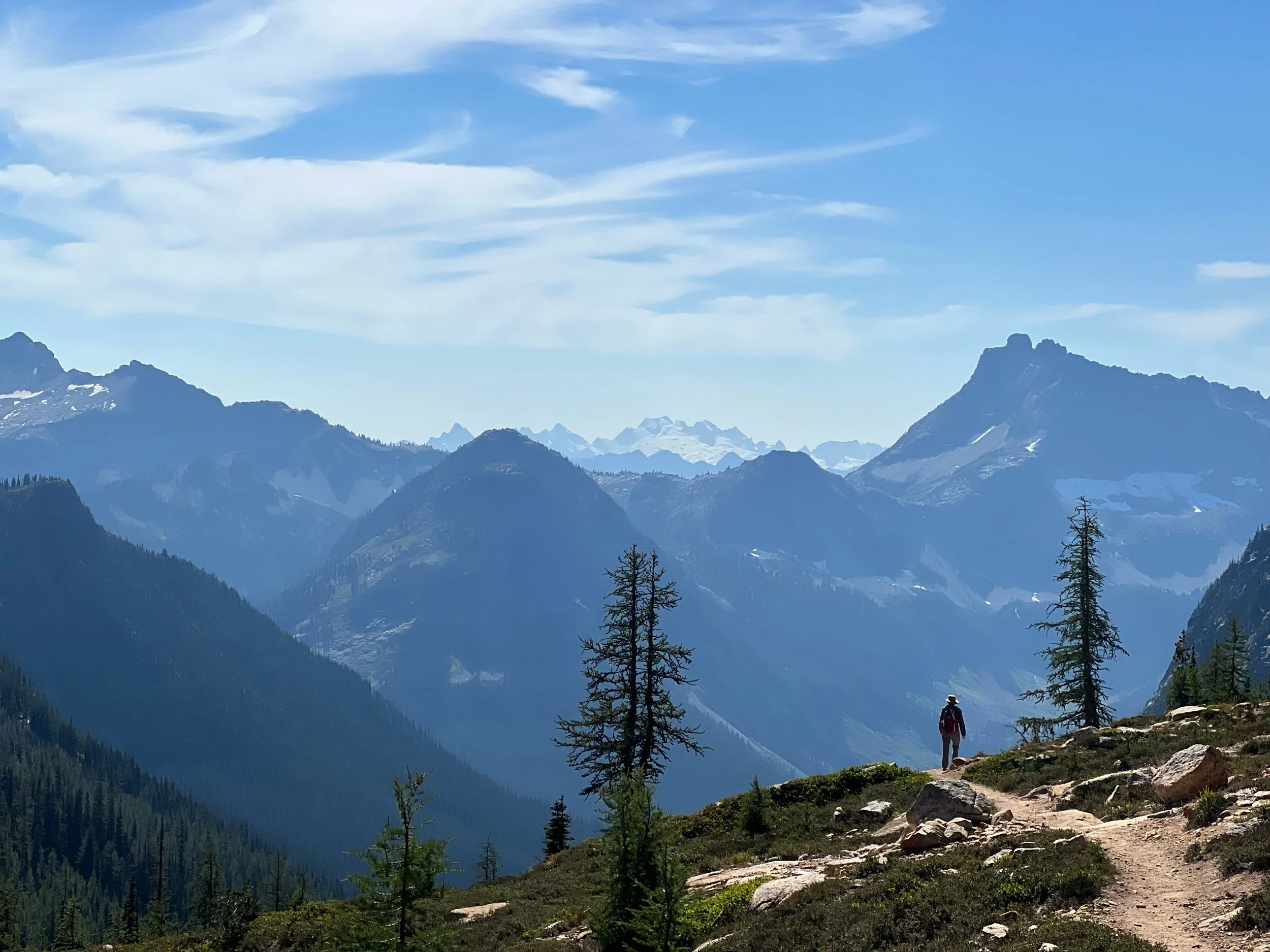
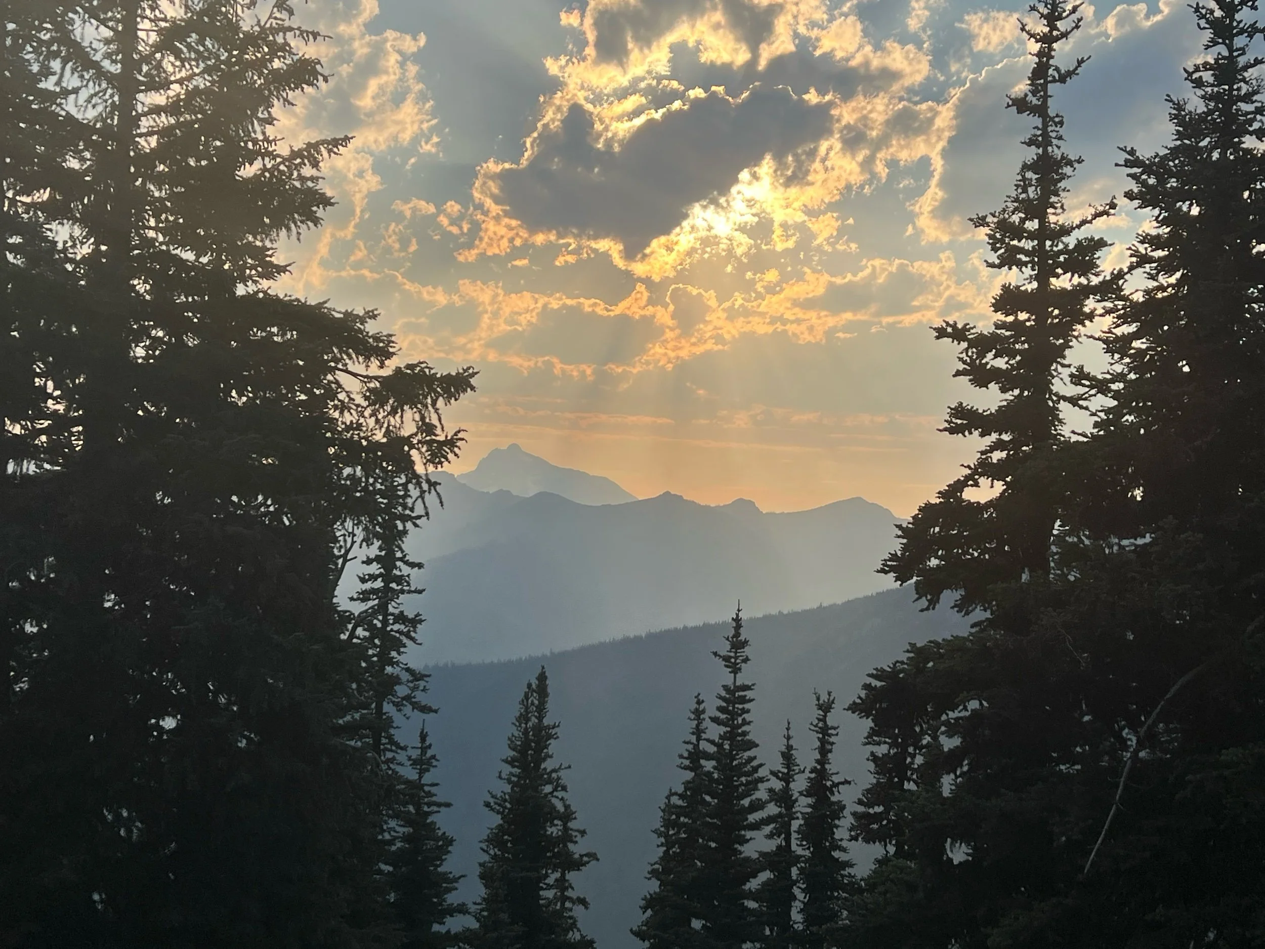
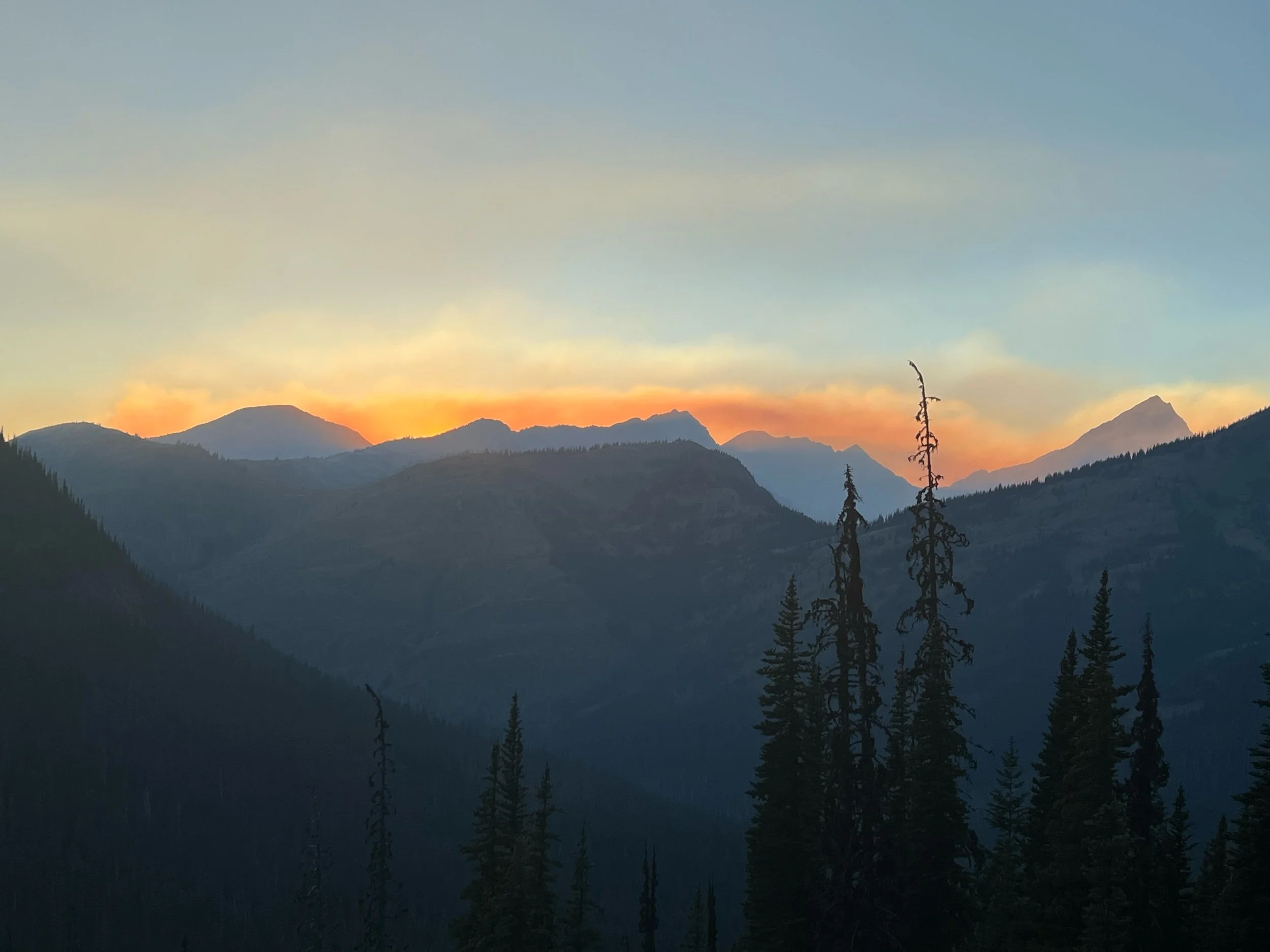
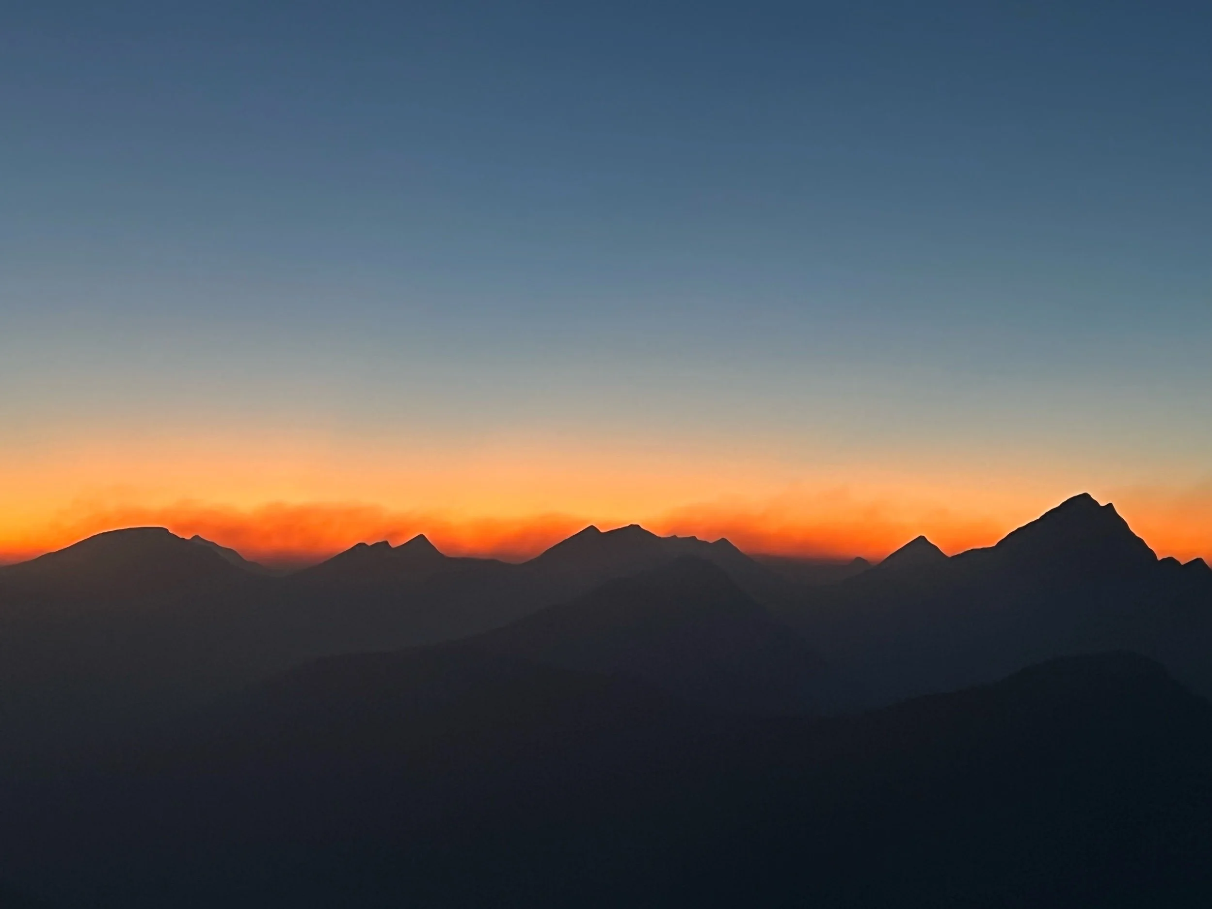
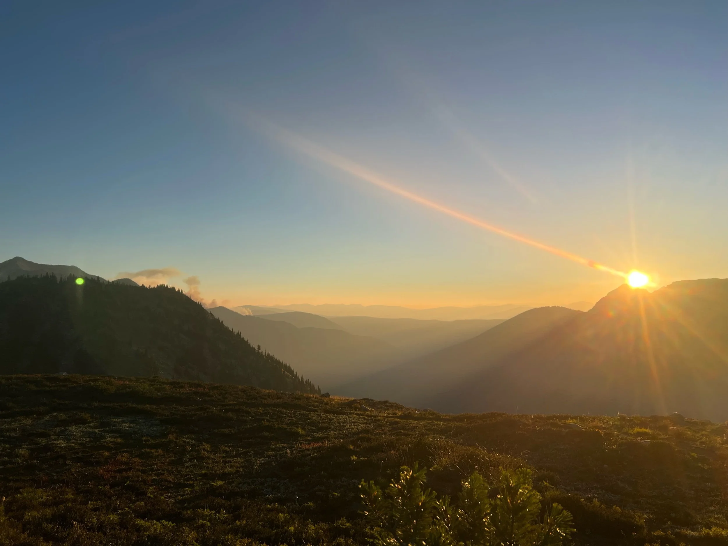
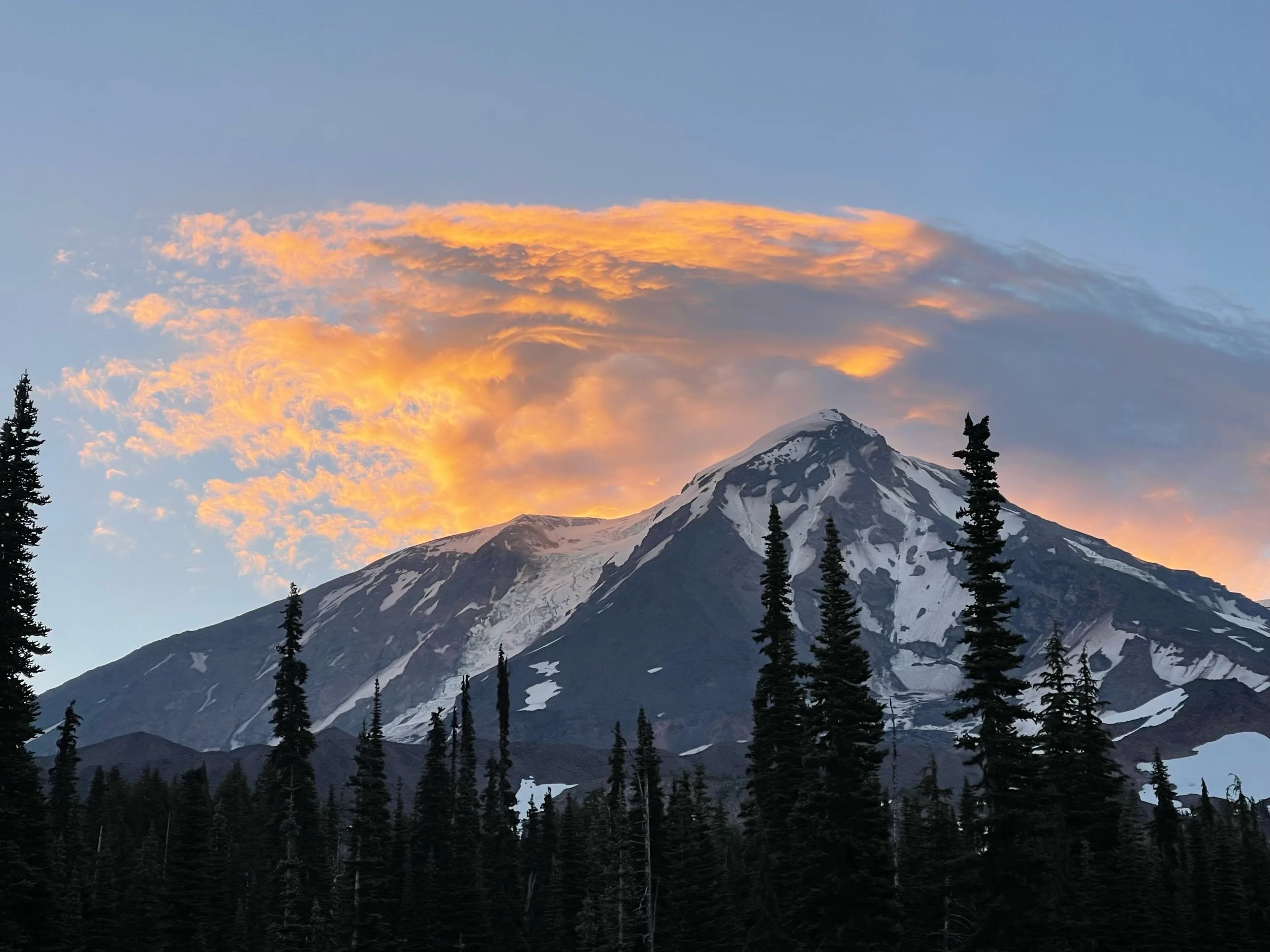
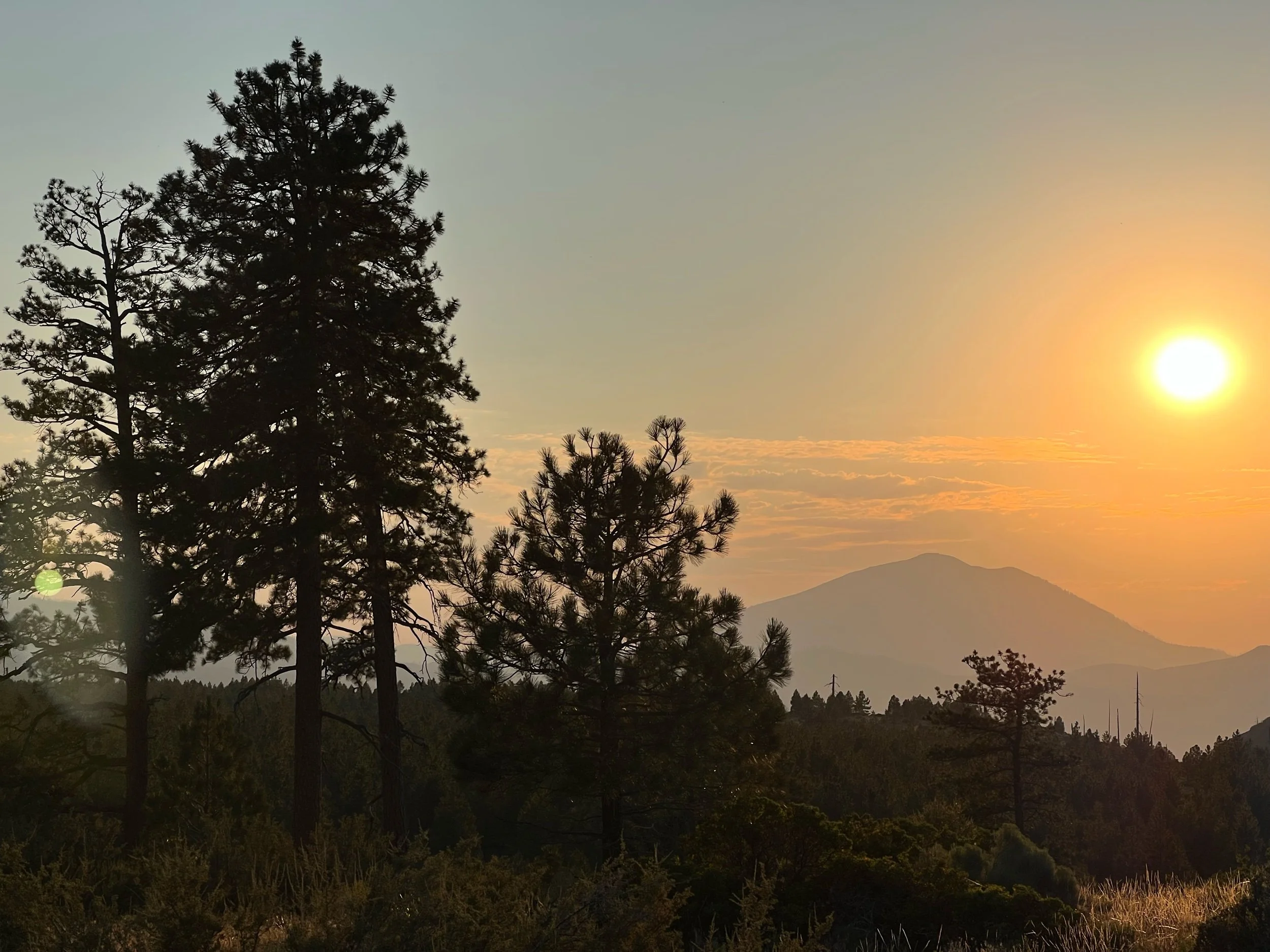
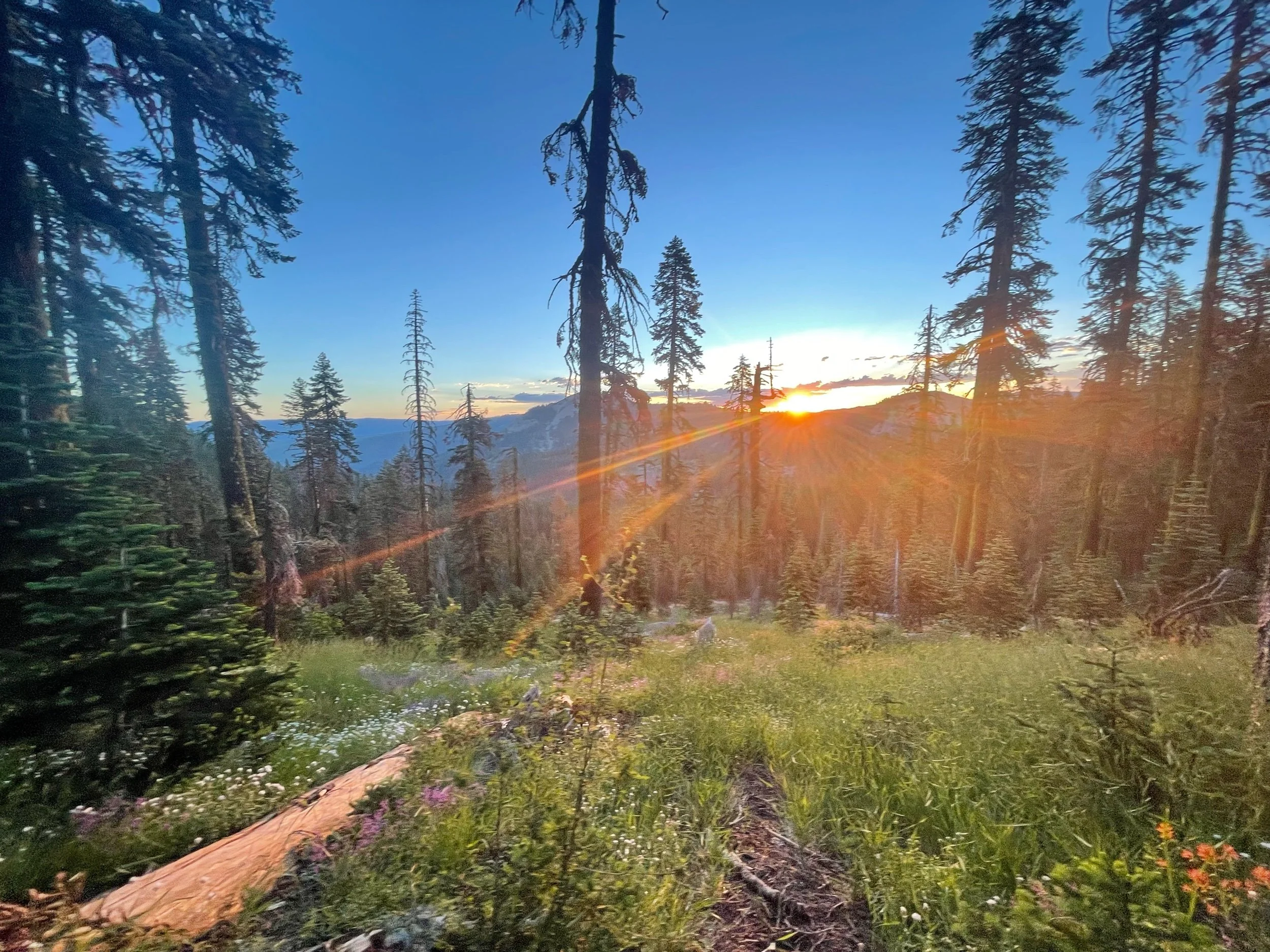
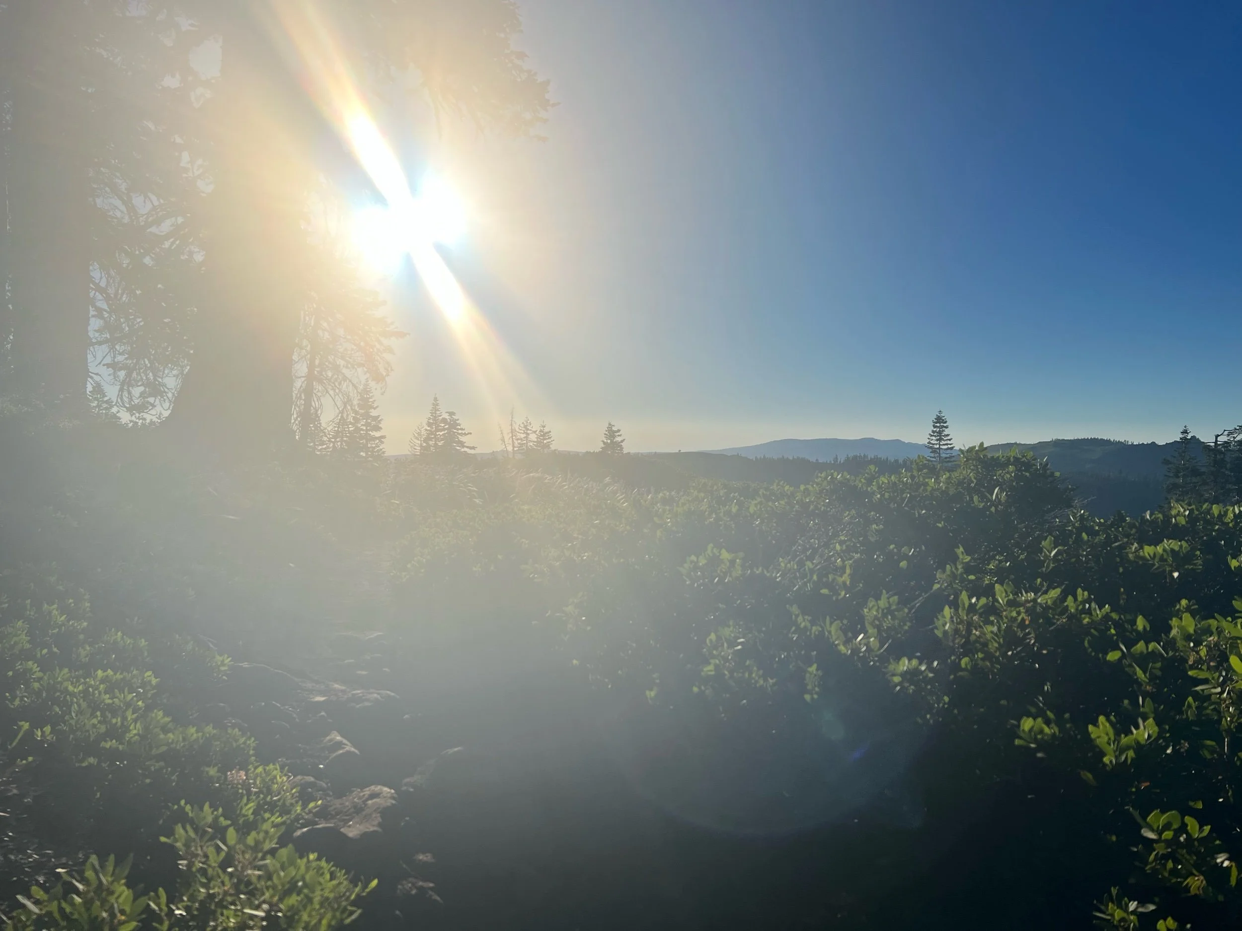
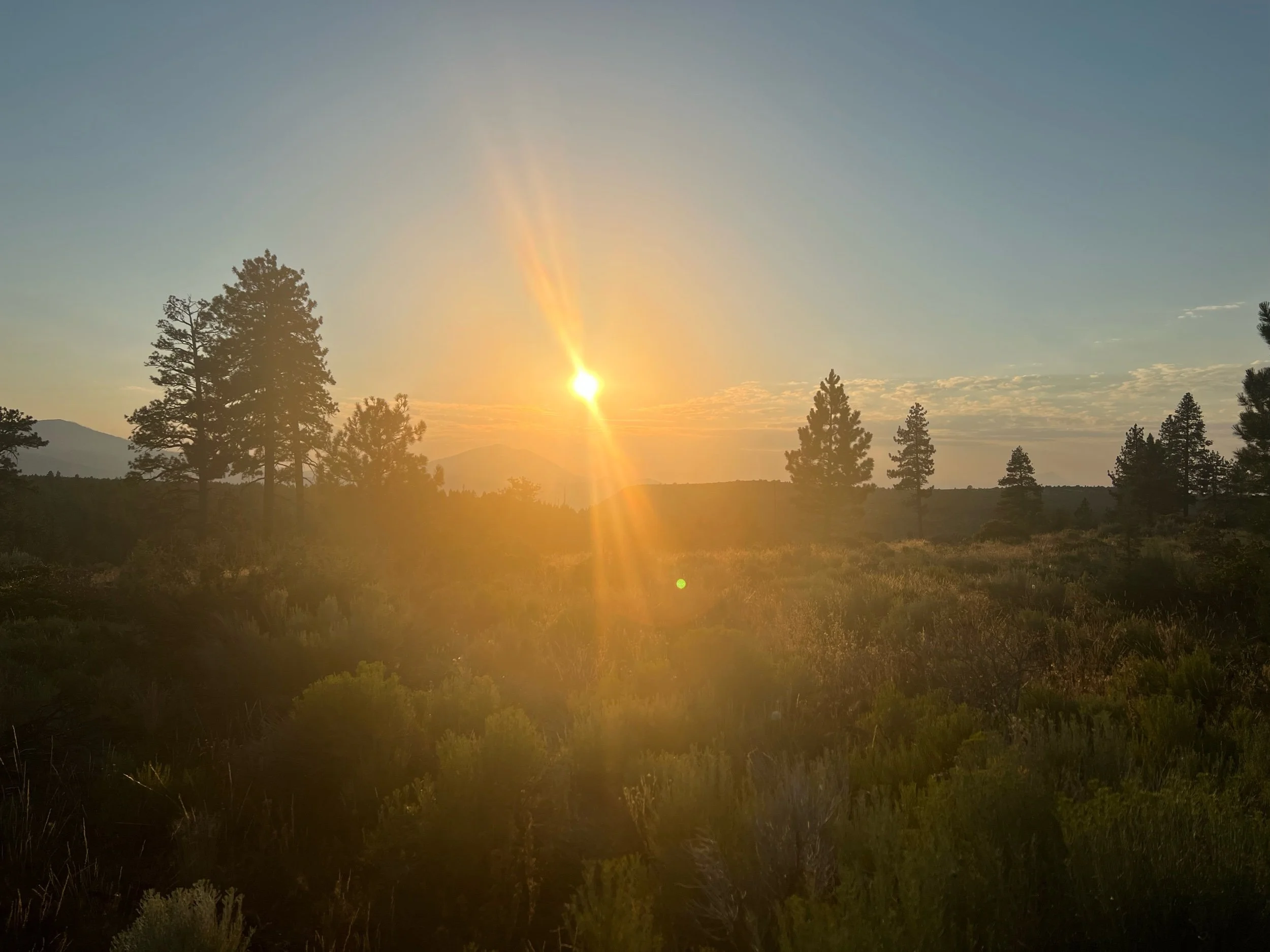
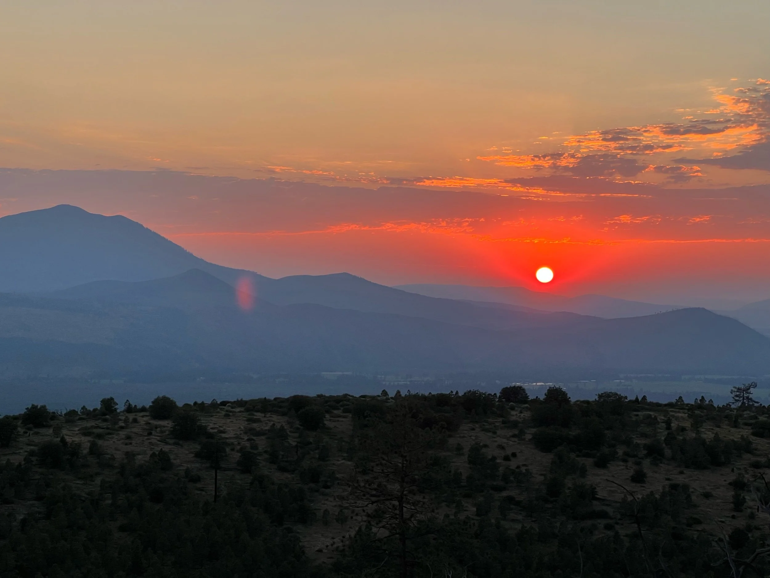
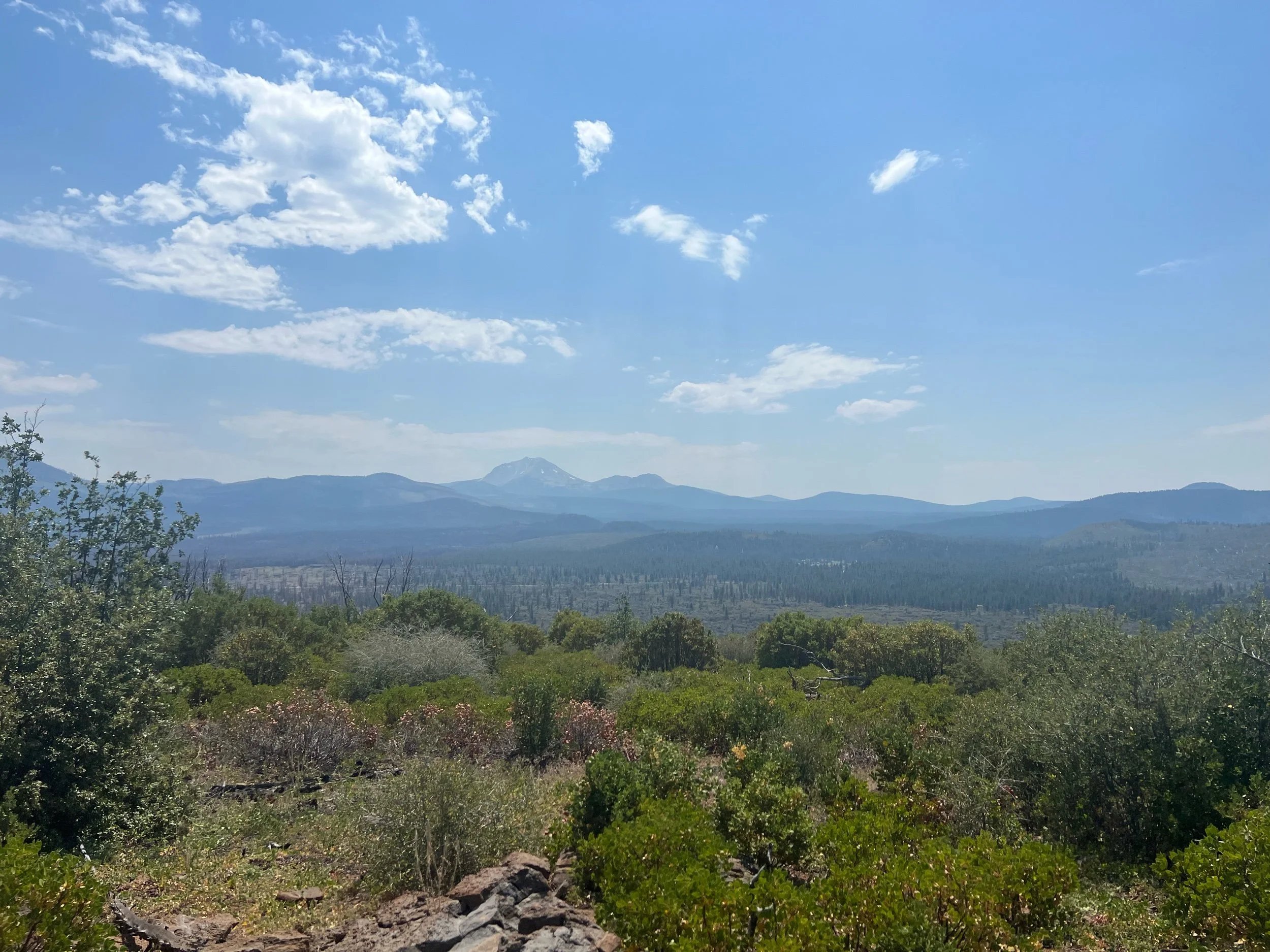
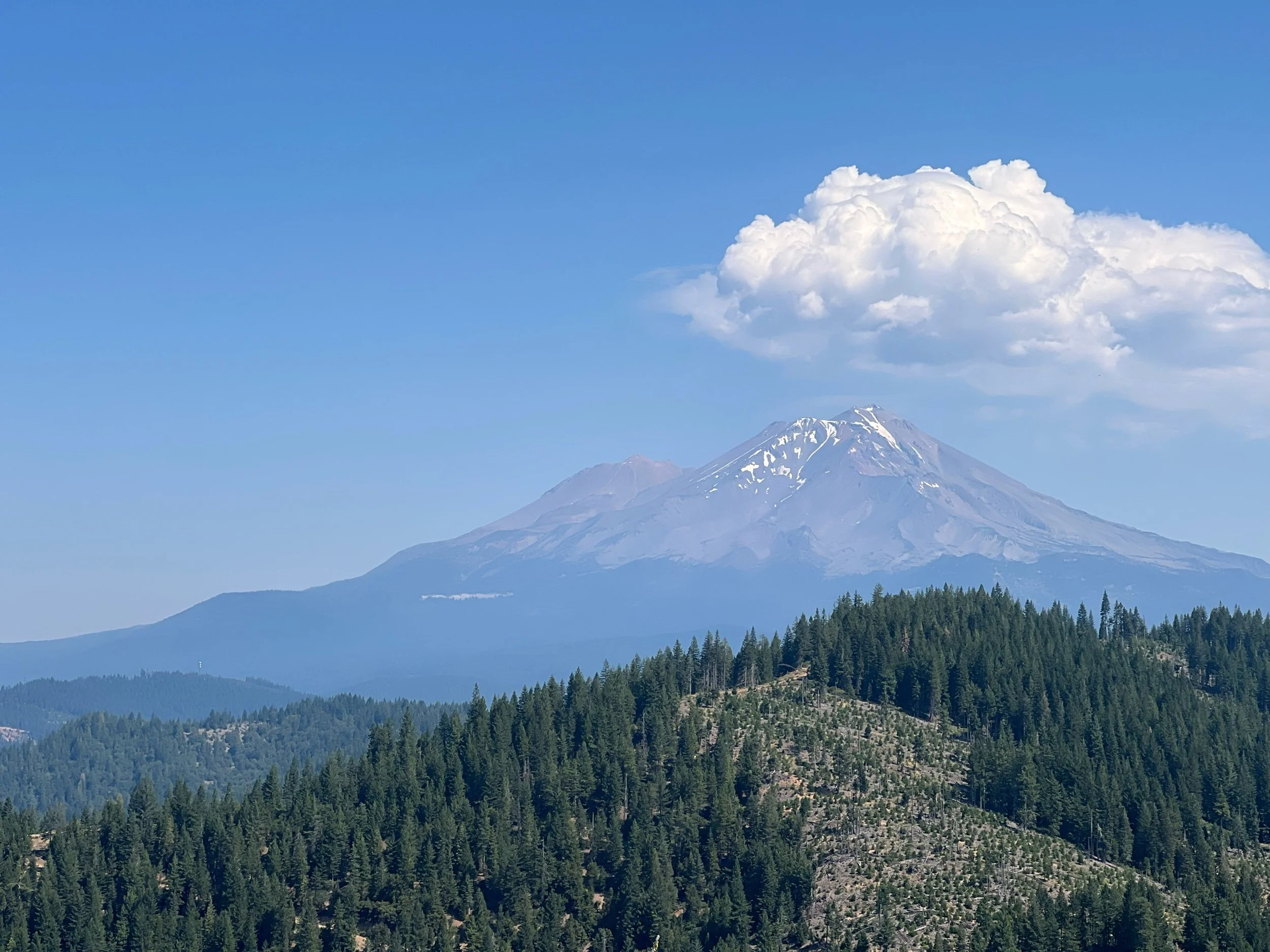
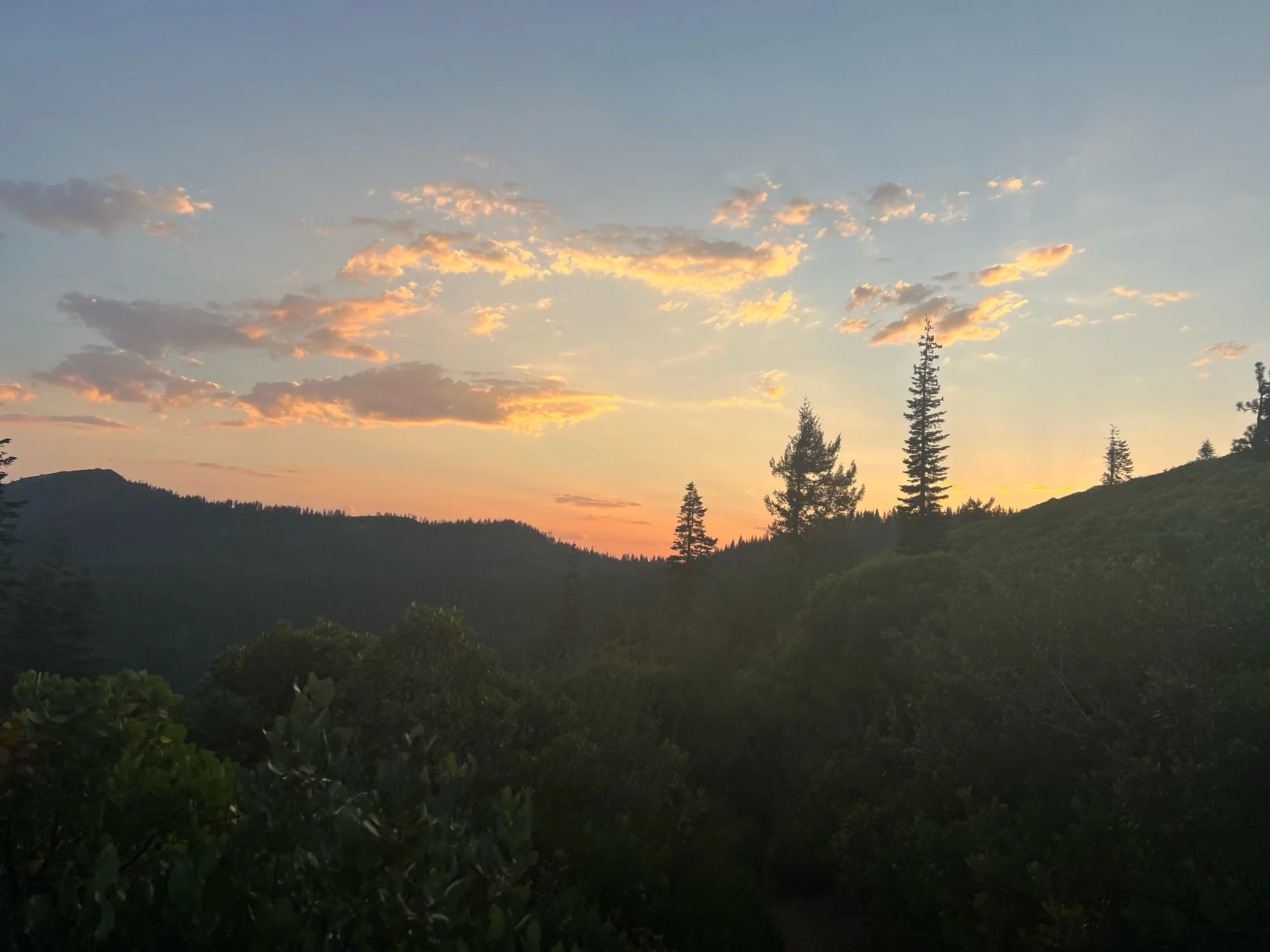
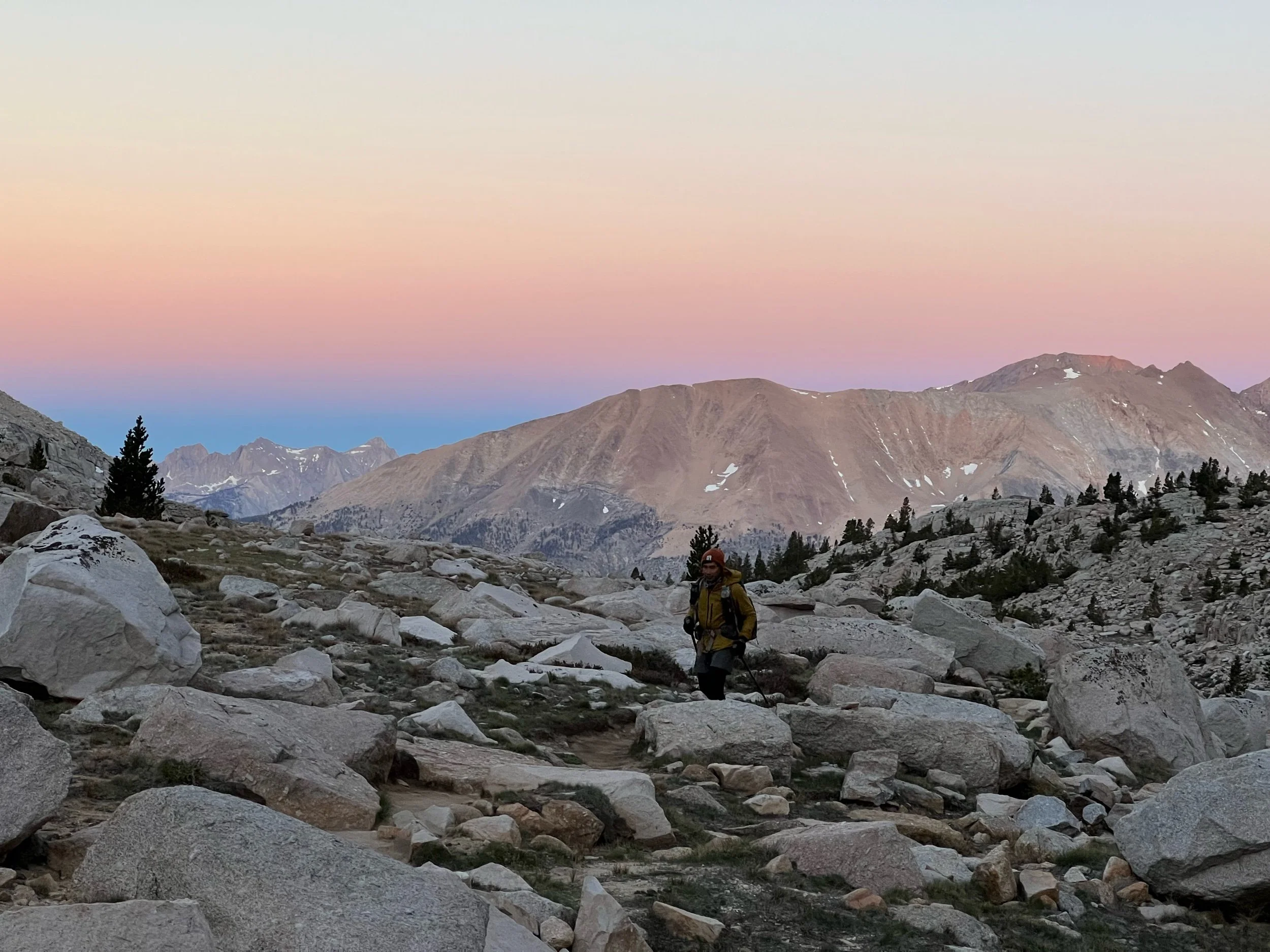
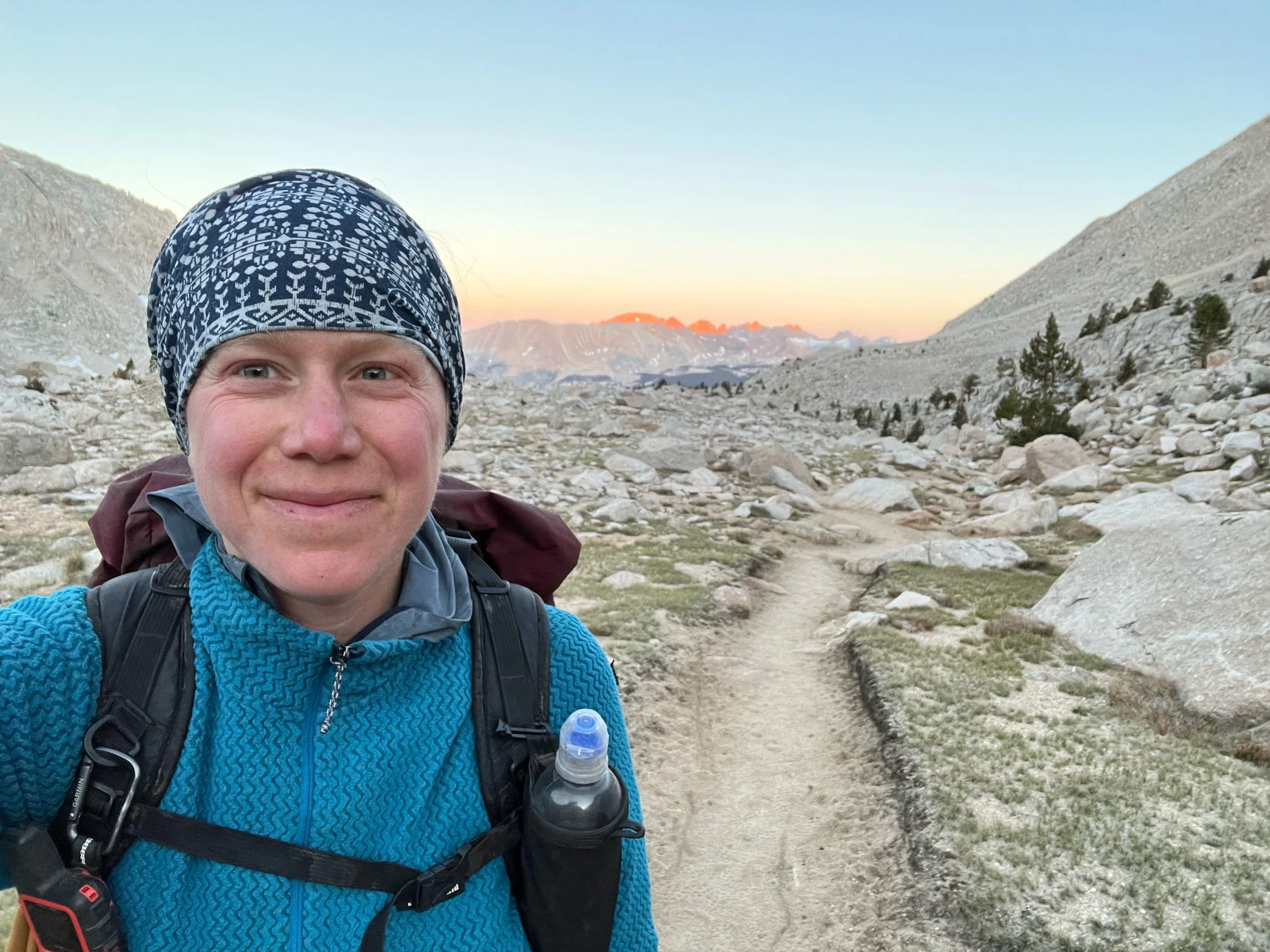
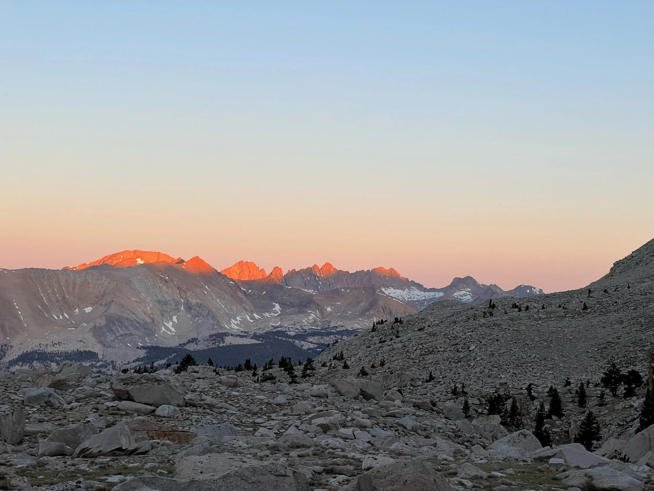
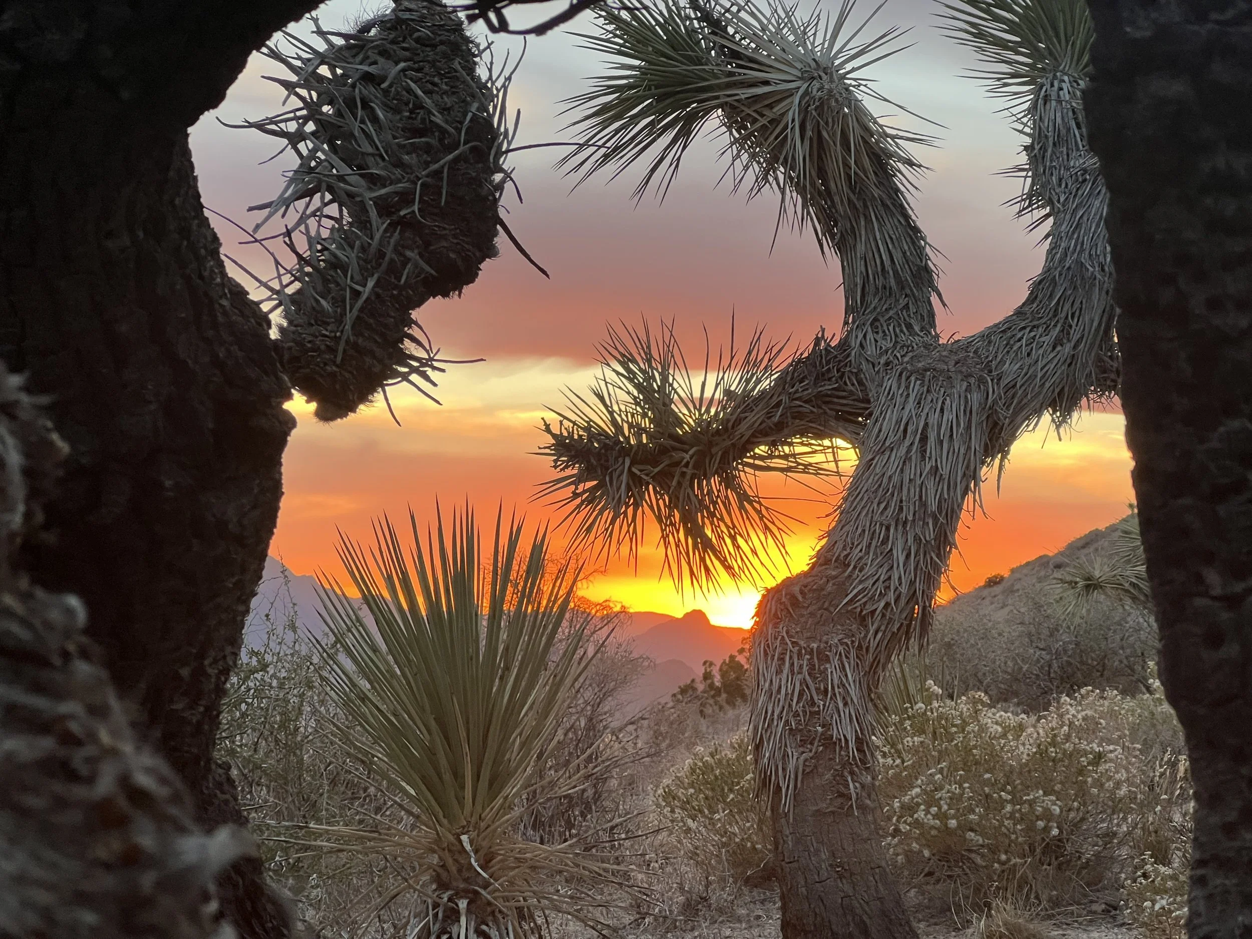
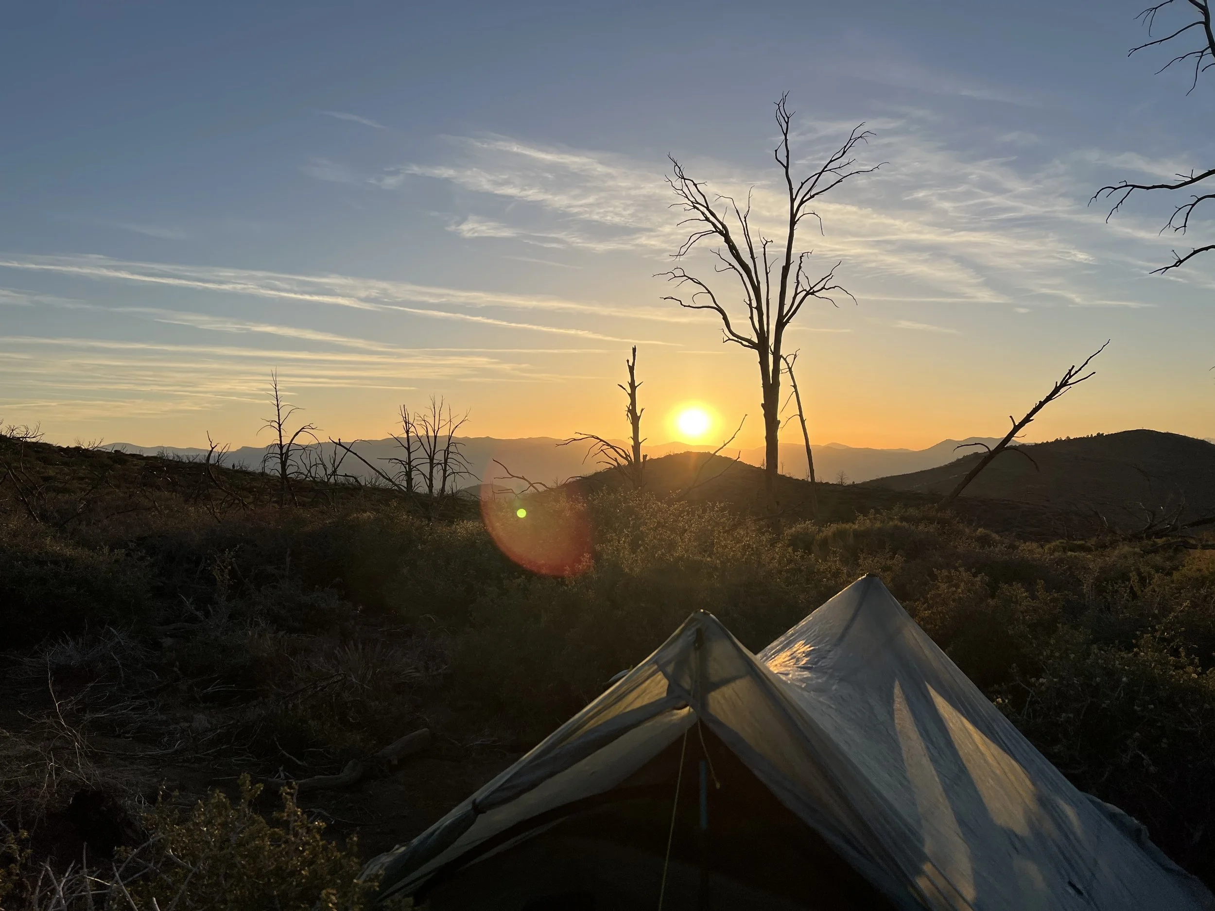
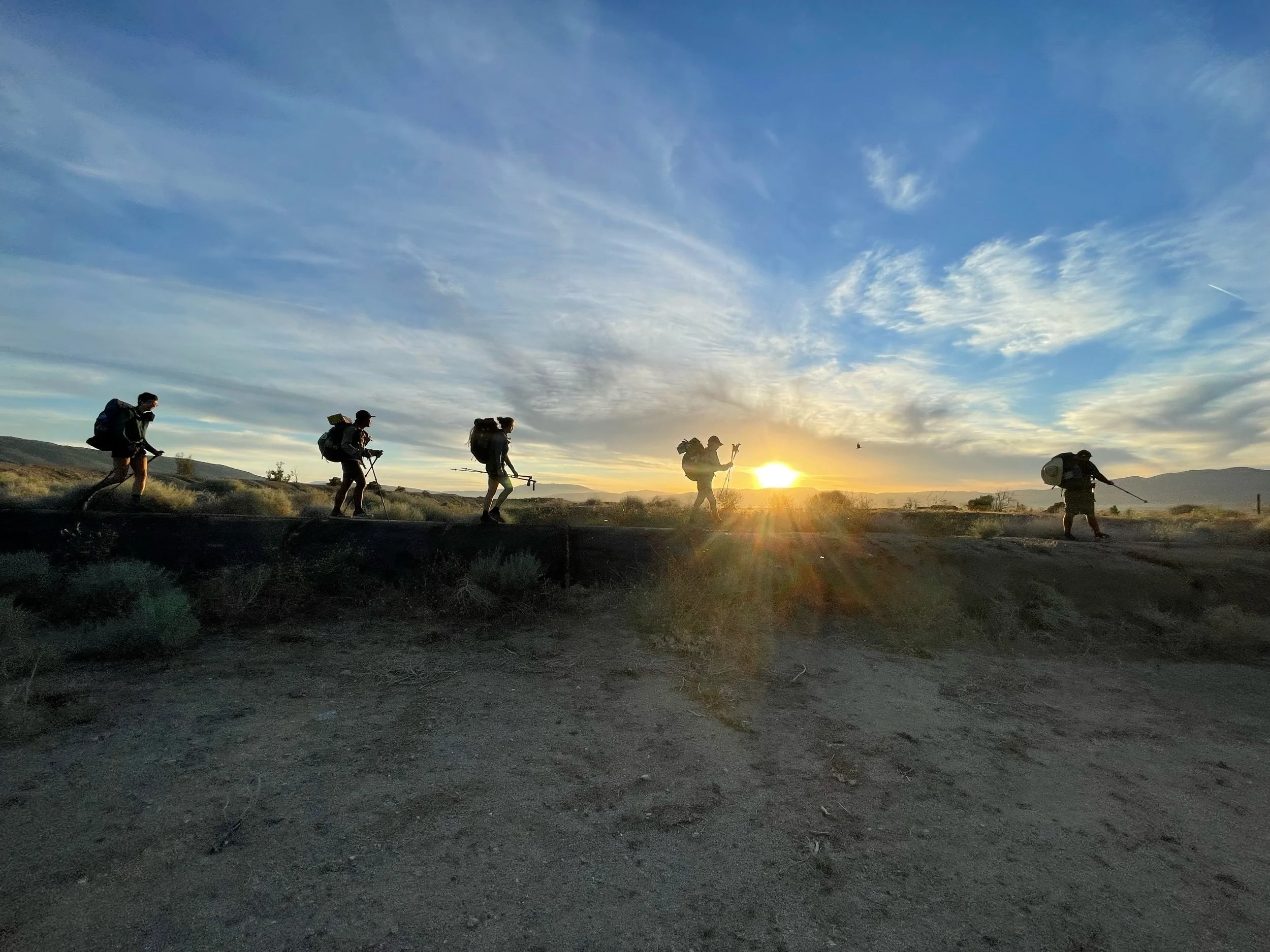
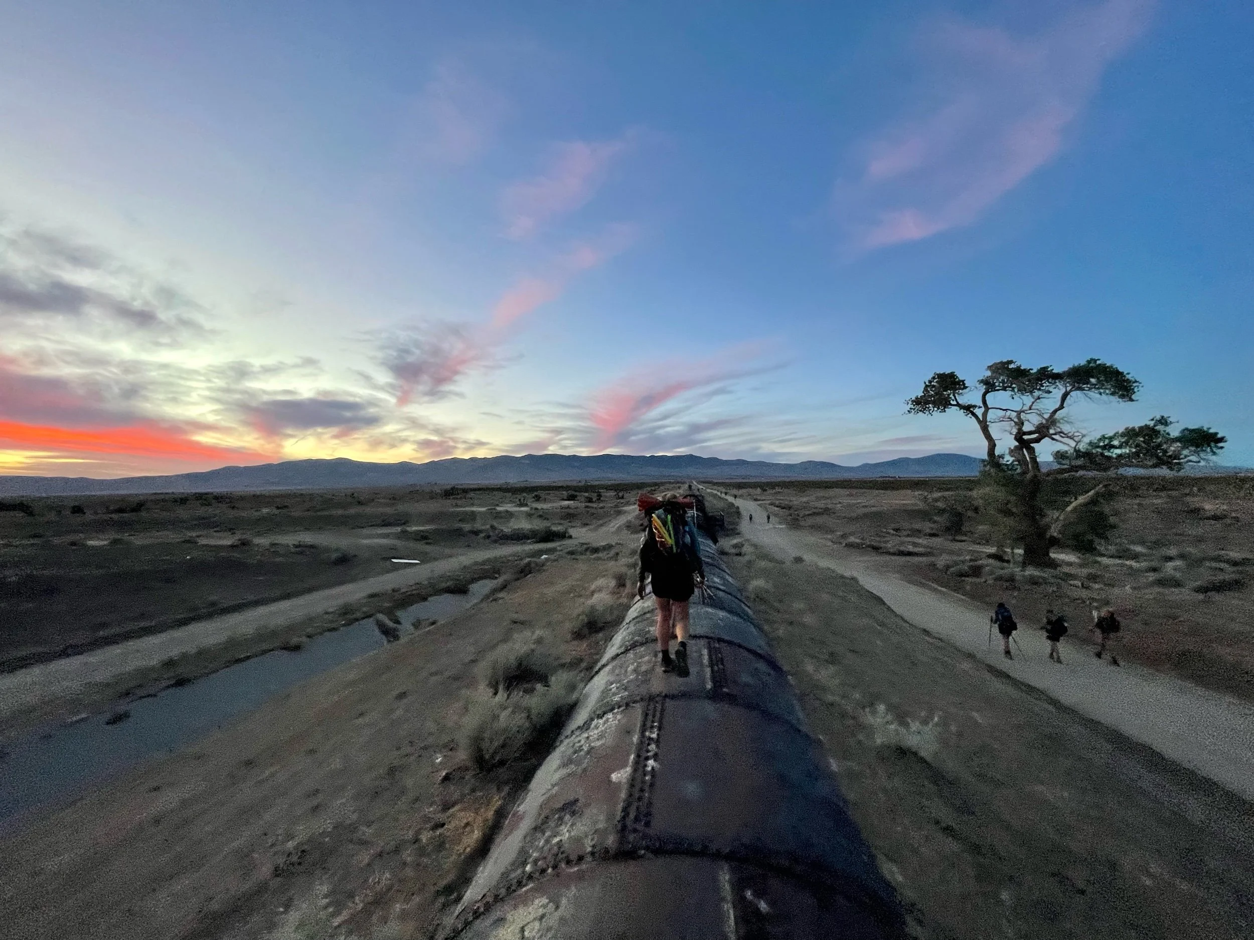
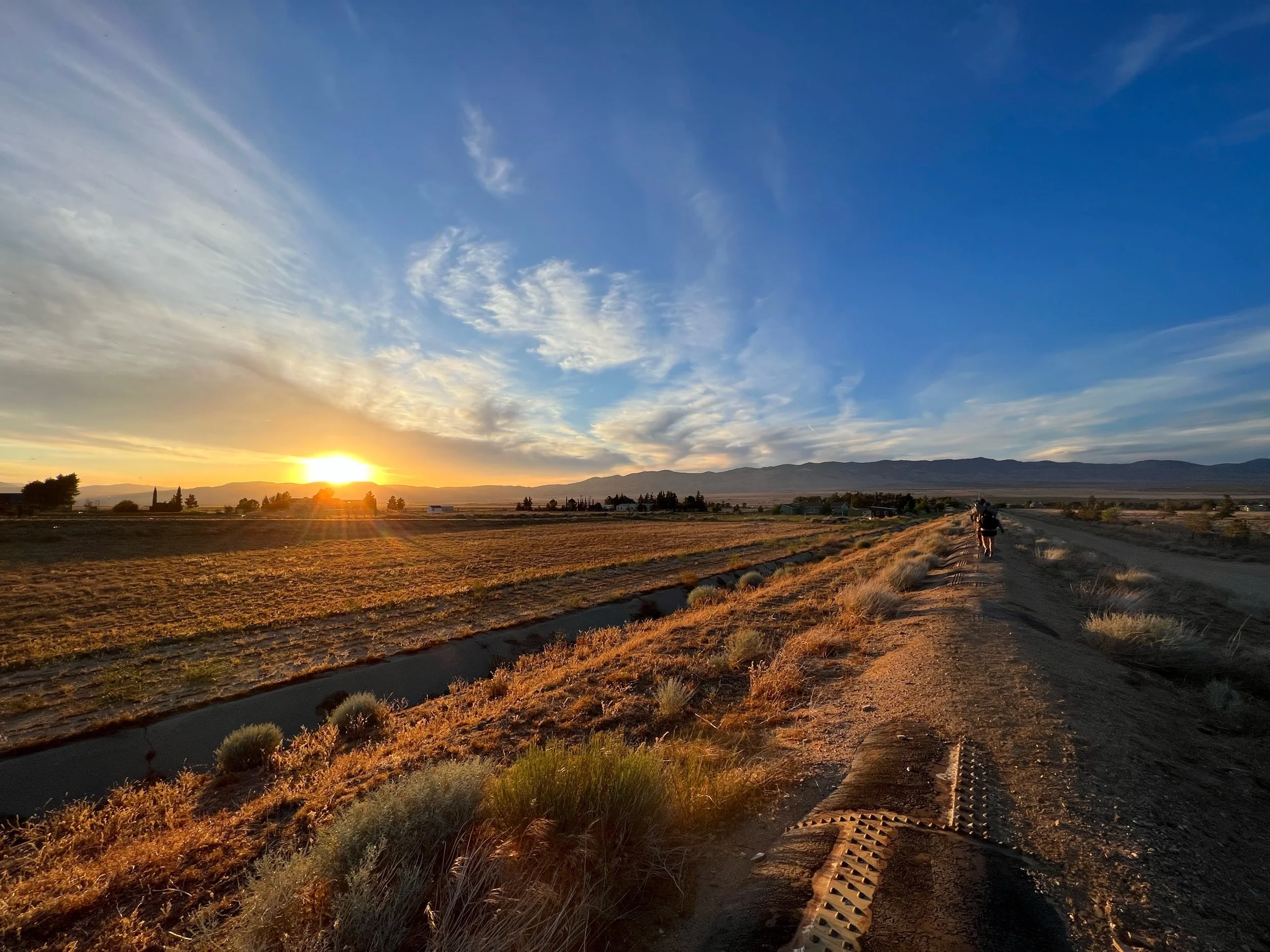
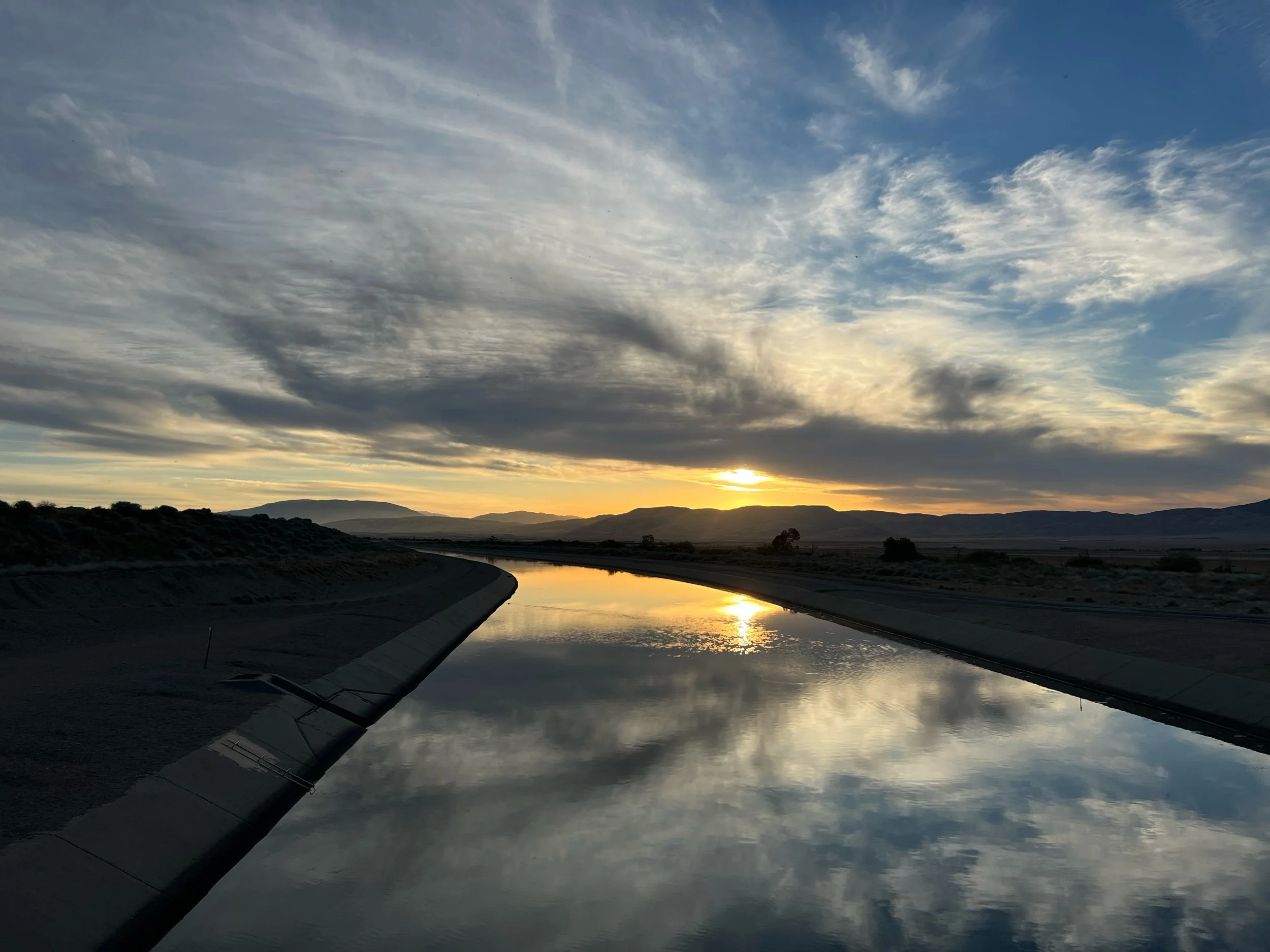
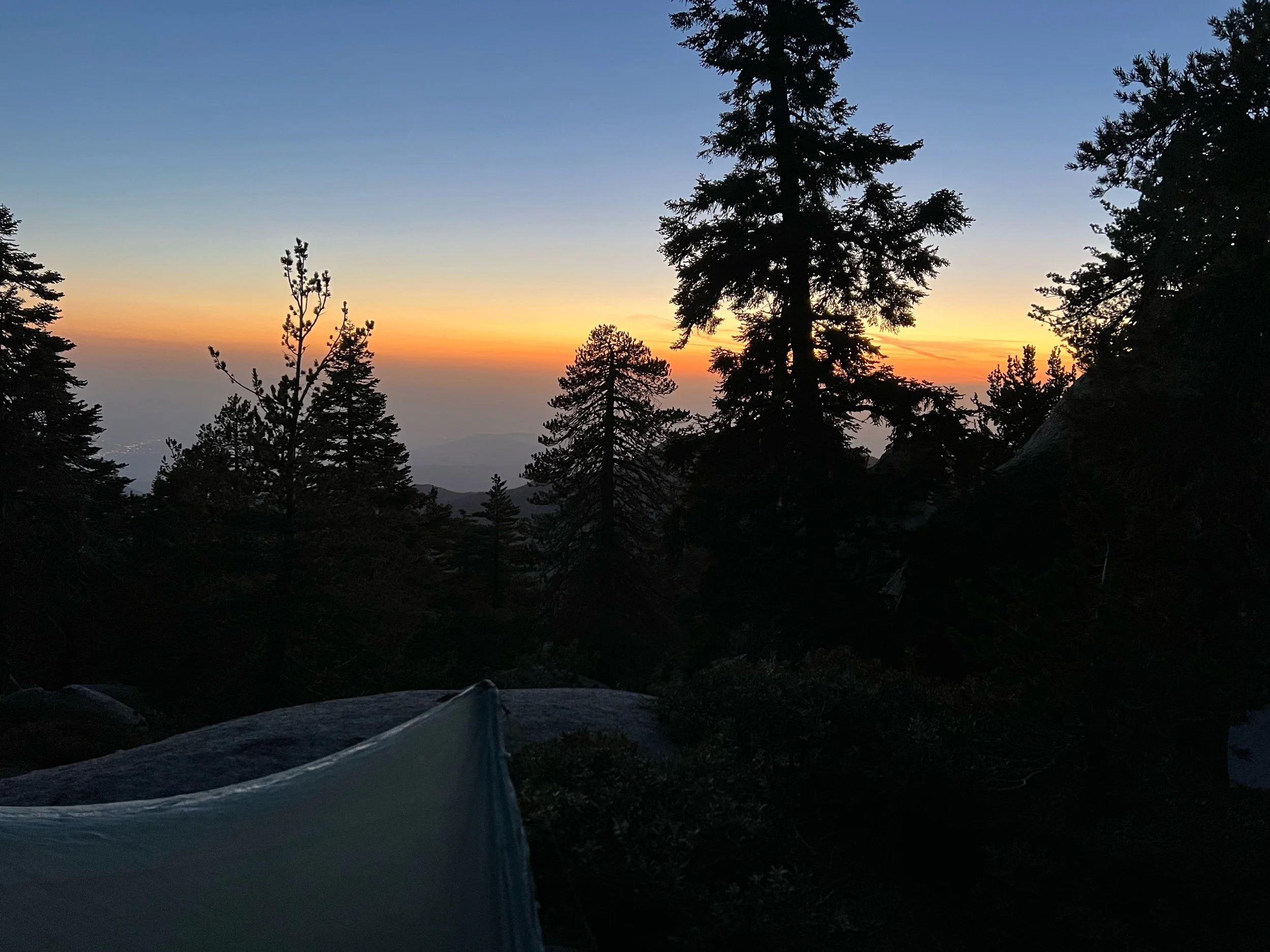
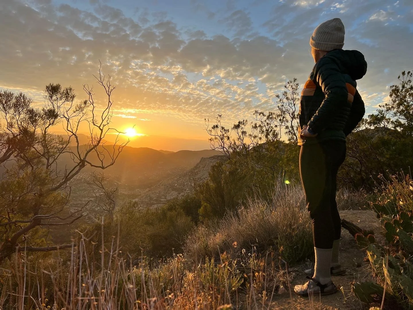
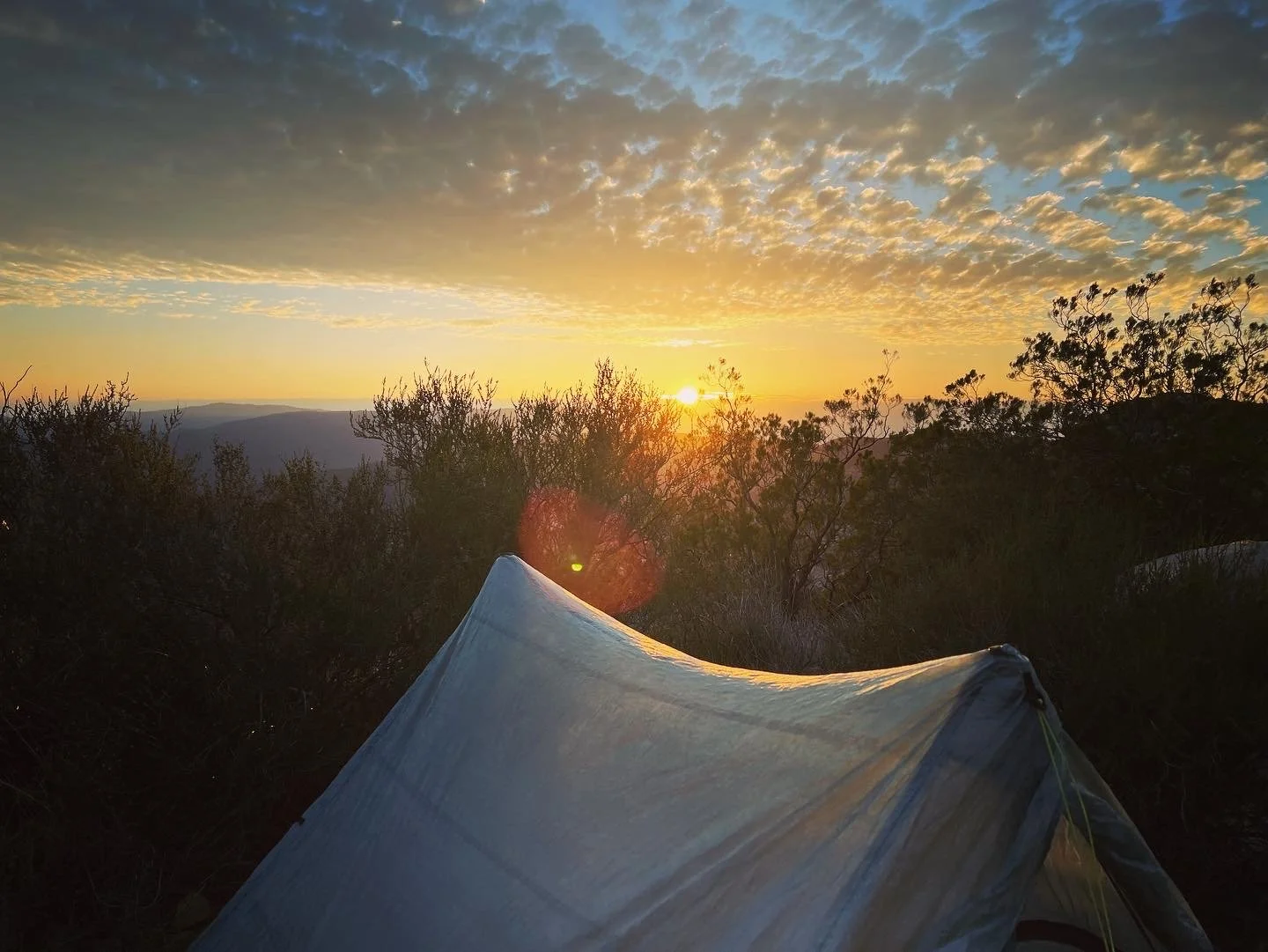
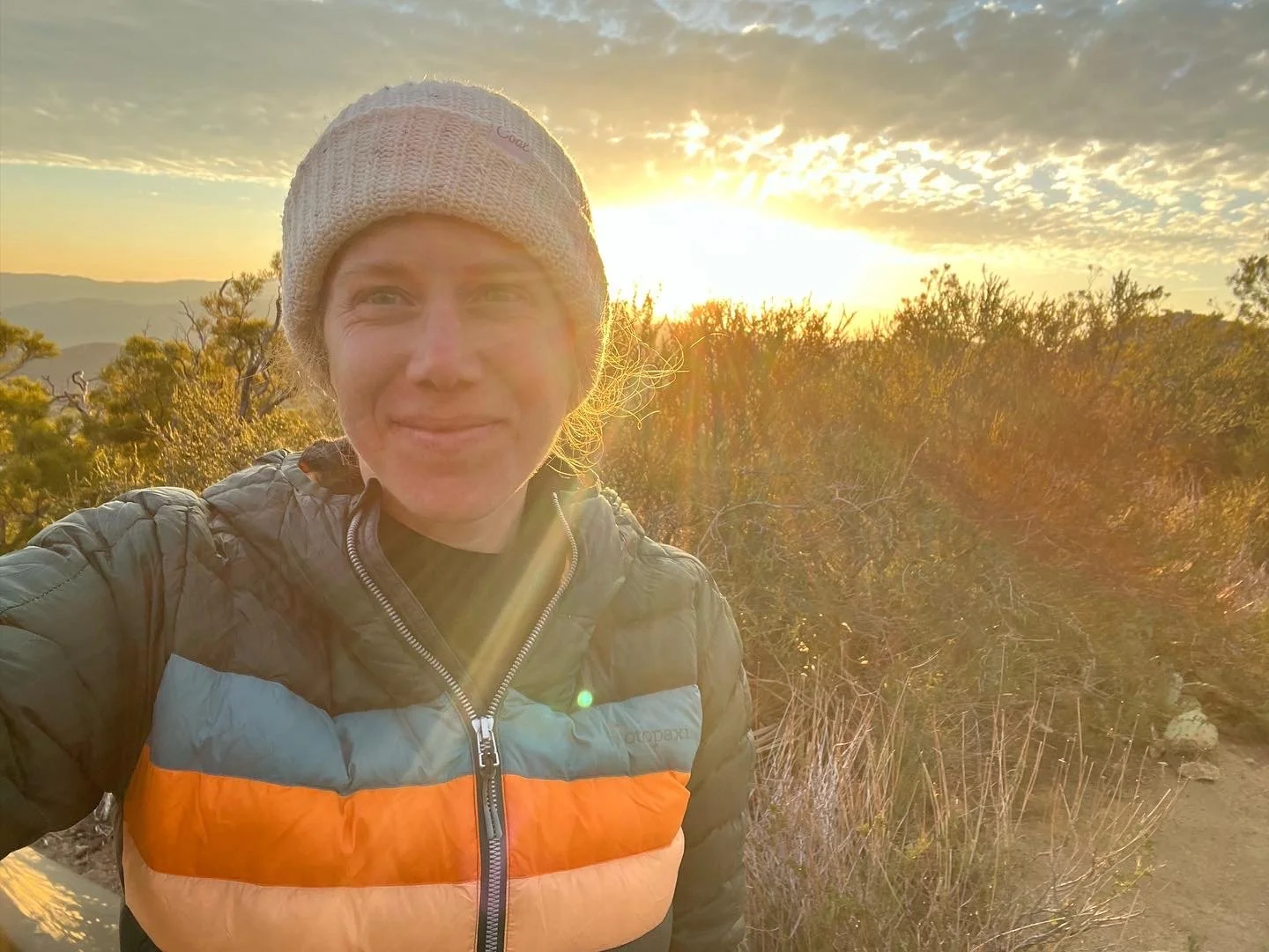
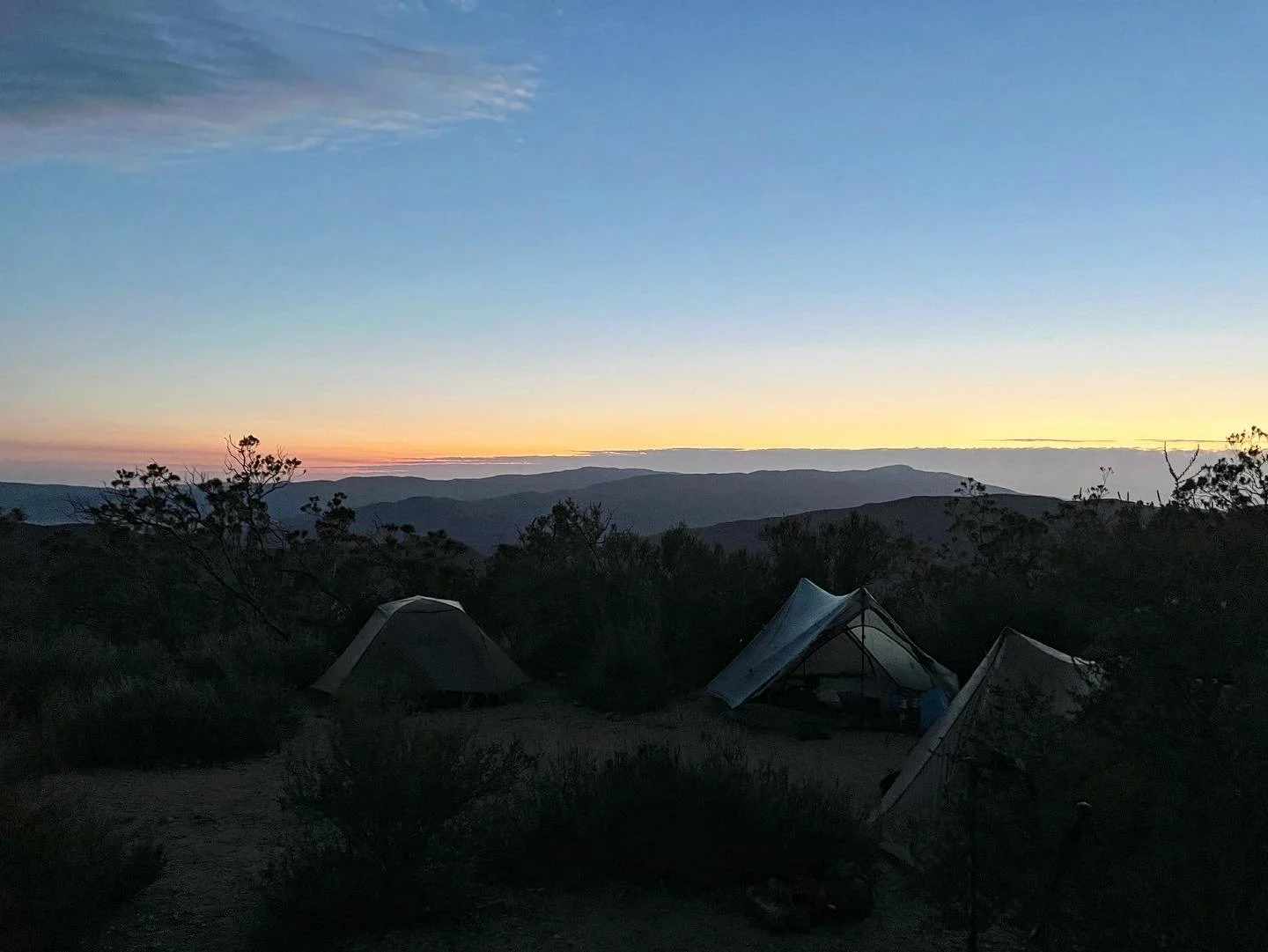
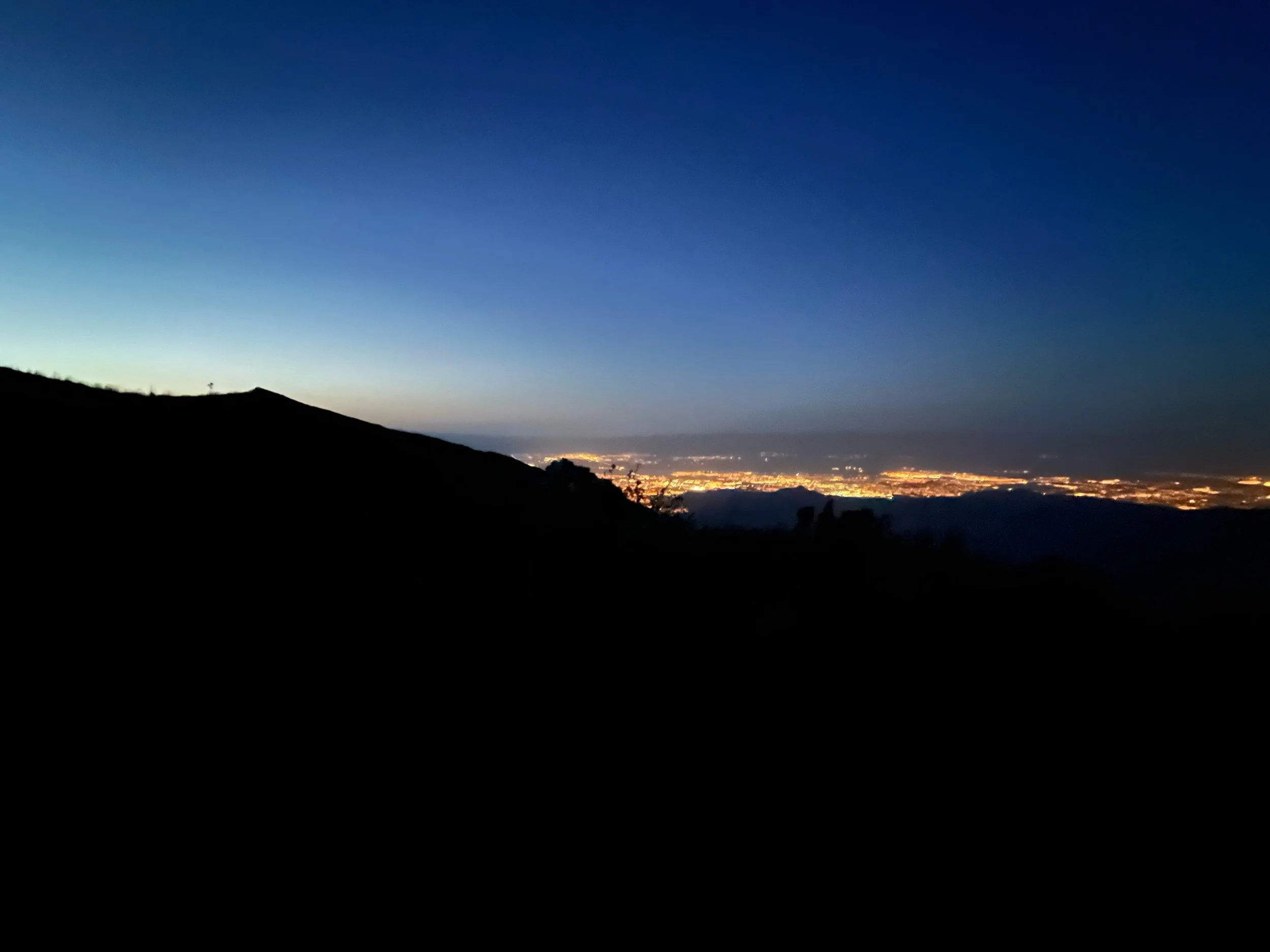
We noticed two other significant differences when we returned. We saw no northbound hikers in that first stretch back and the days started getting shorter. We were used to seeing lots of hikers in our bubble as we hiked, whether at water sources, campsites, or just along the trail. Now, the trail was ours. While this solitude was a bit jarring and I wondered if I would see any of my old friends again, it was also a welcome change. We got to experience the wilderness without feeling like it was overrun with hikers. And the section from Mount Shasta, to Etna (mile 1501-1600), was stunning. We walked through the Trinity Alps Wilderness with views of Mount Shasta and layers of mountains in shades of blue in the distance. The sunsets glowed shades of reds, oranges and yellows over the lower Cascades. Because the sun was setting earlier, we often found ourselves catching these sunsets as we walked along ridges on our final miles to camp. I found myself hiking these last miles of the day slower, even though I had a tendency to speed up when getting close to camp. I wanted to take in these magical sunsets. But then, quickly after the sun dipped below the horizon, darkness would appear, earlier than we were accustomed.
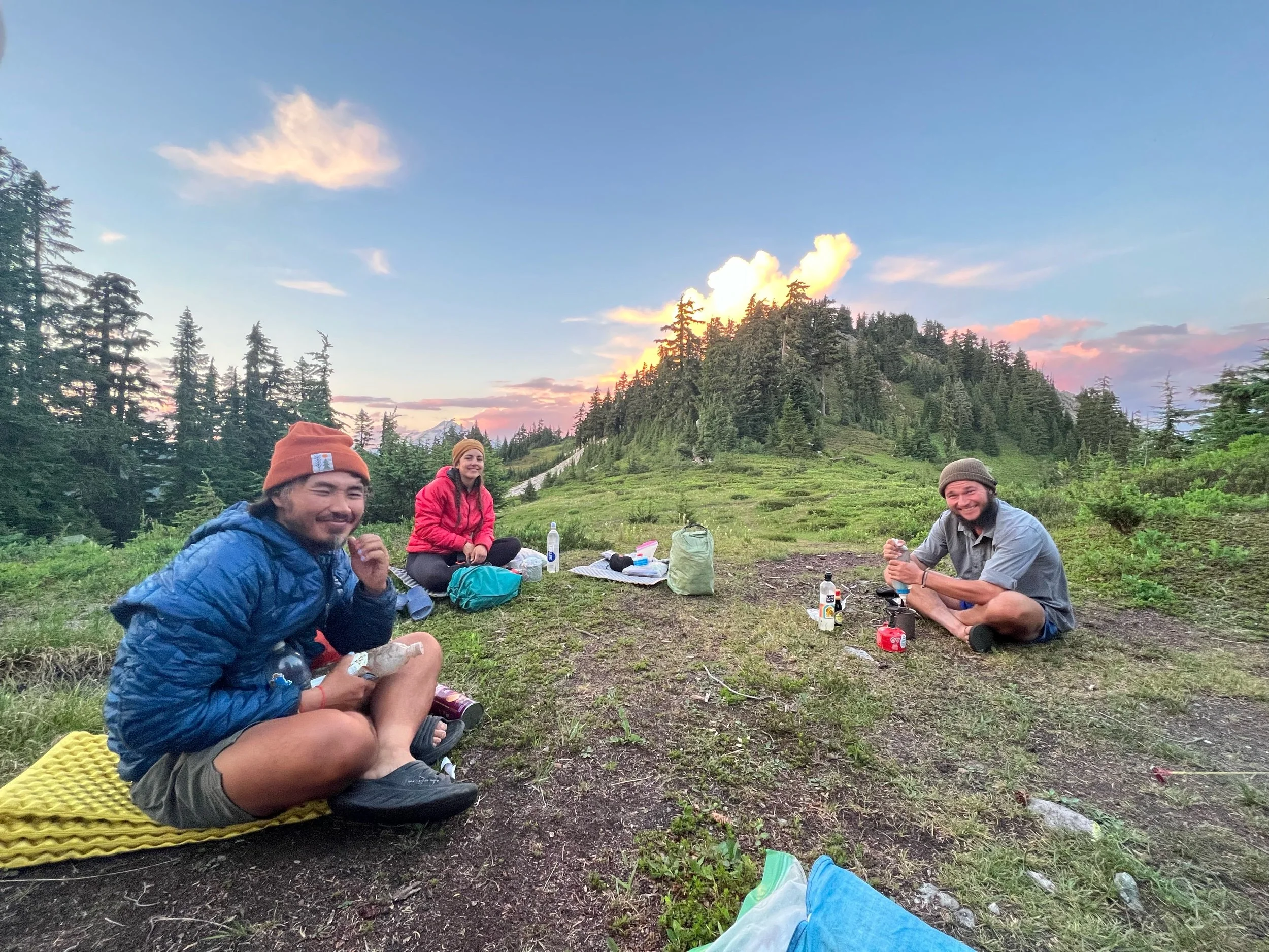
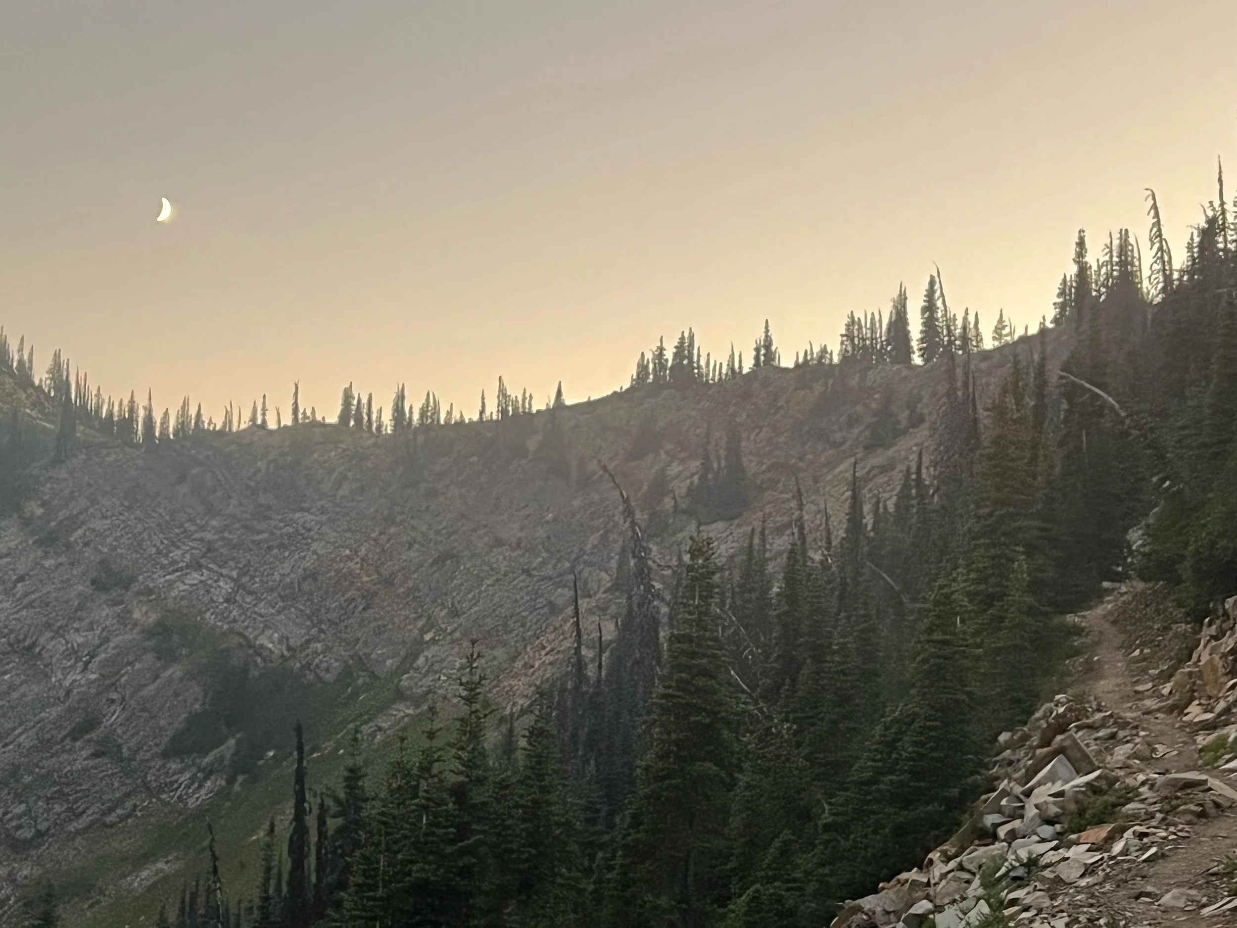
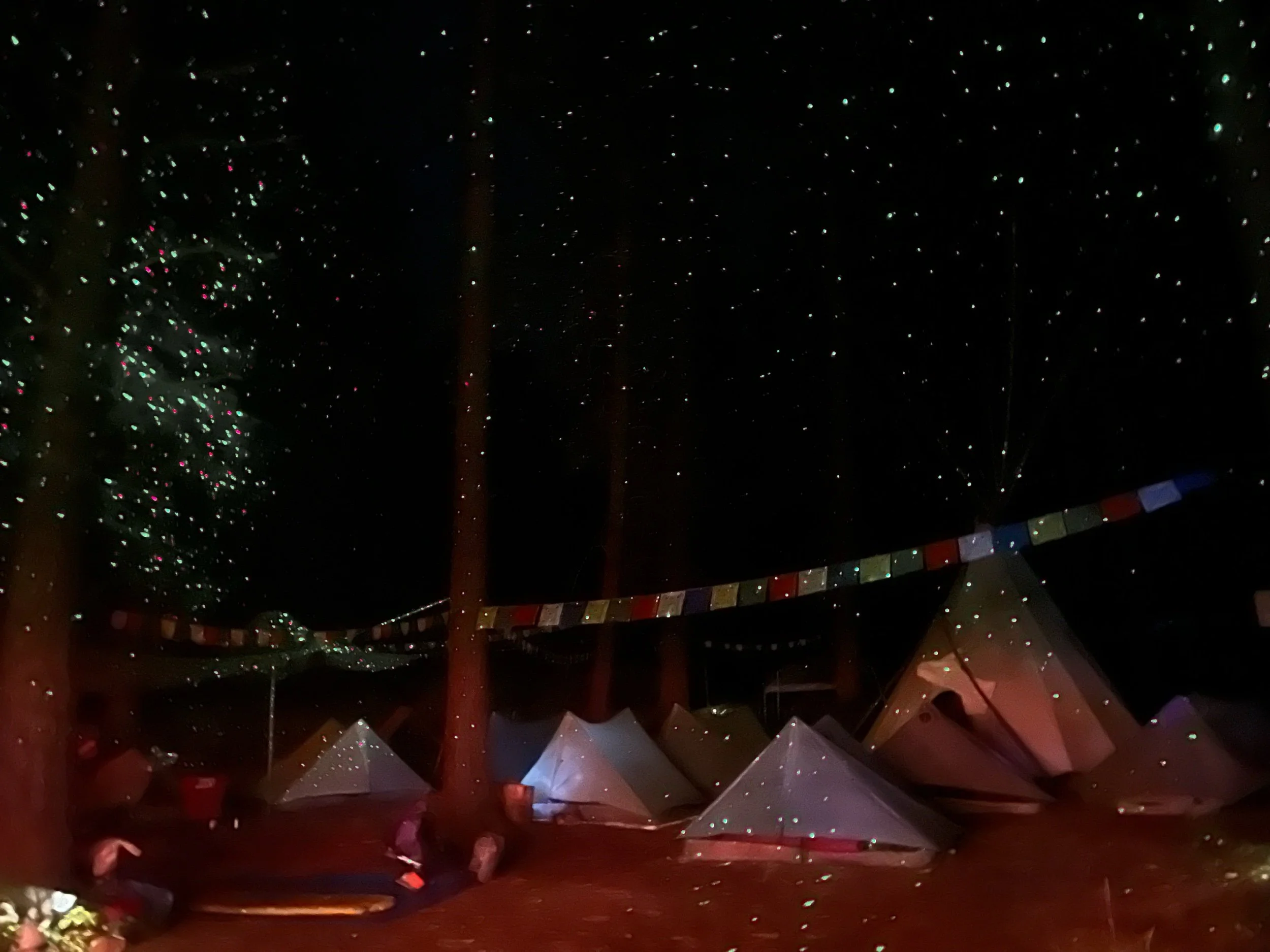
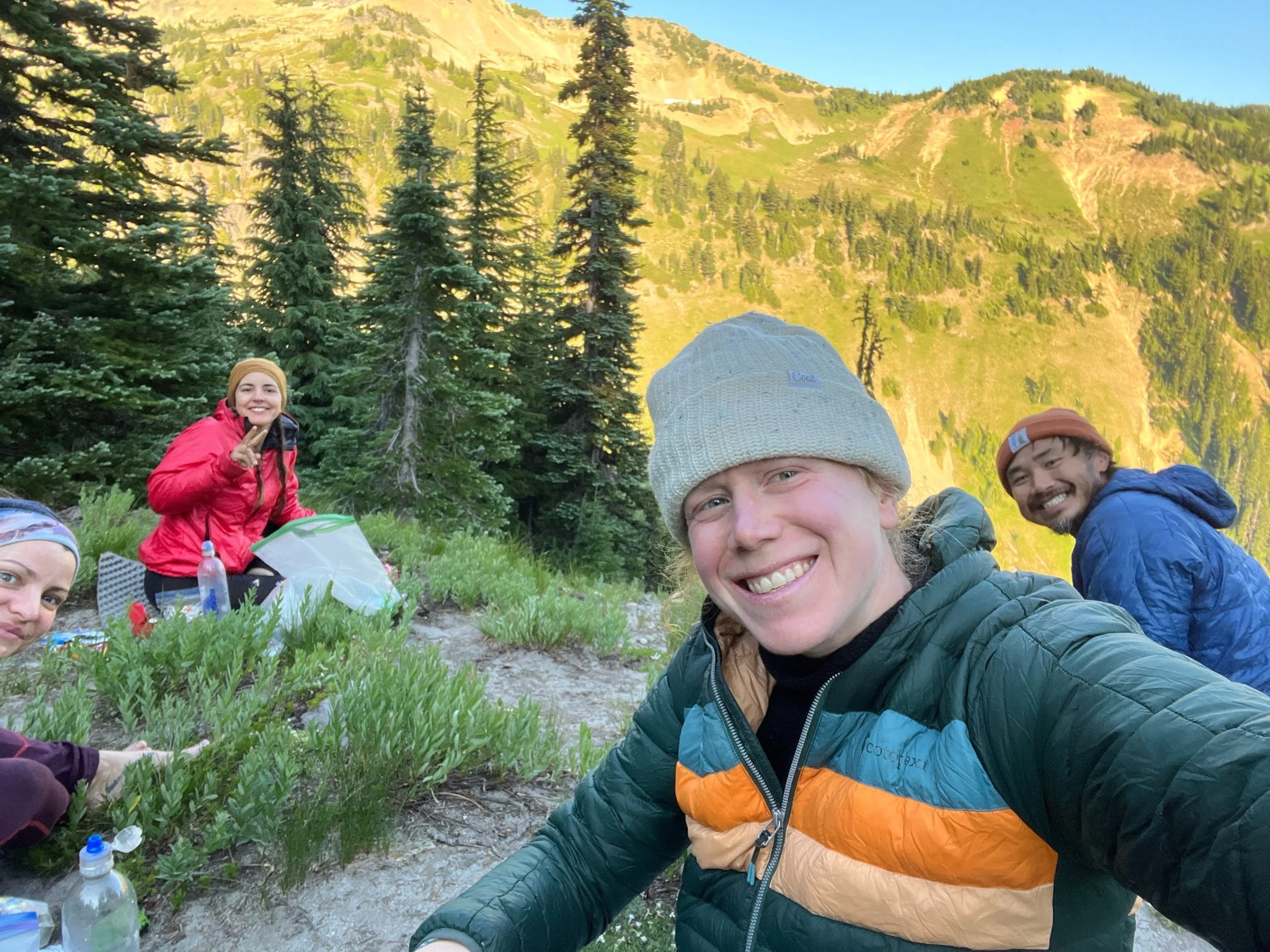
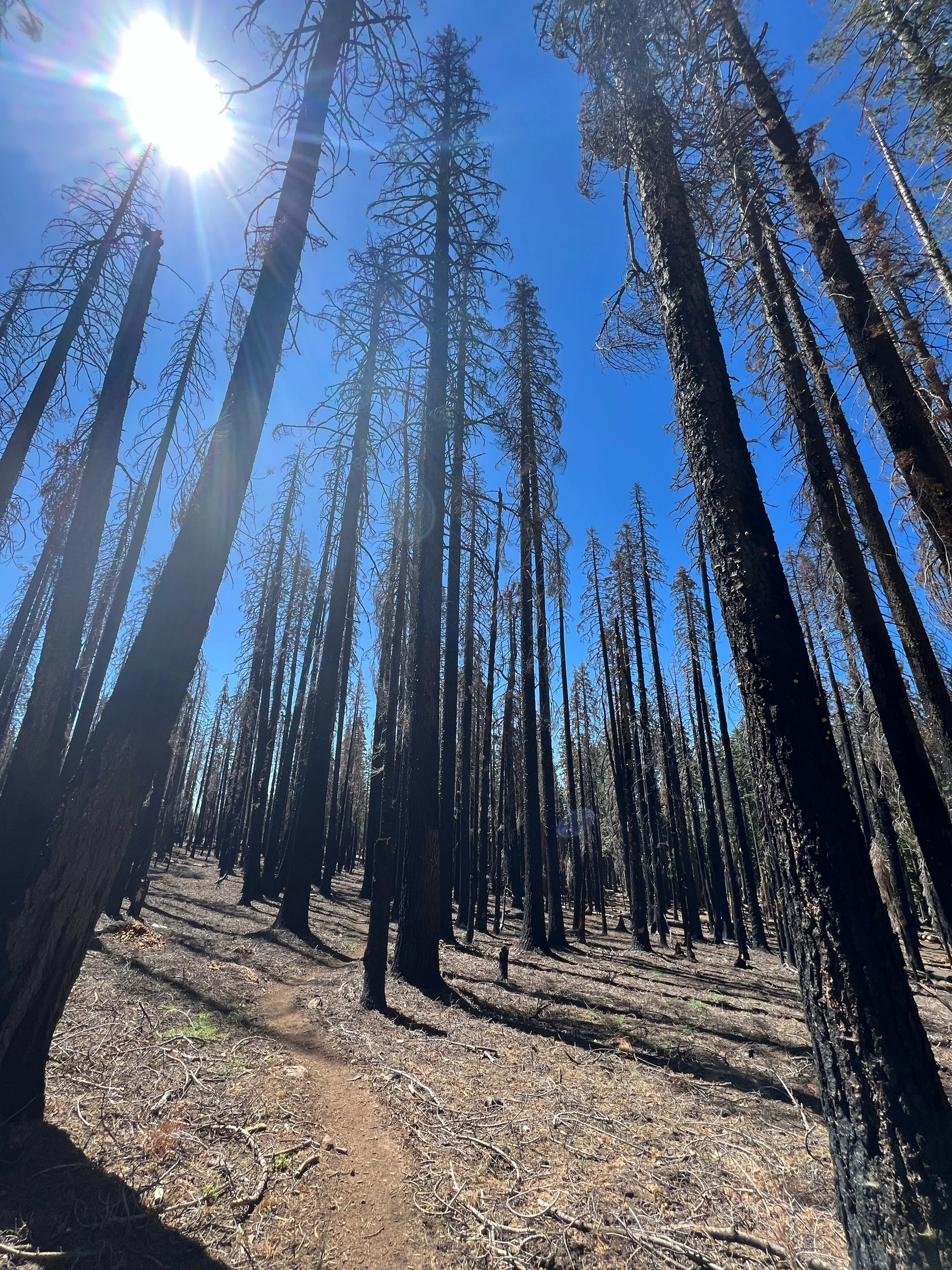
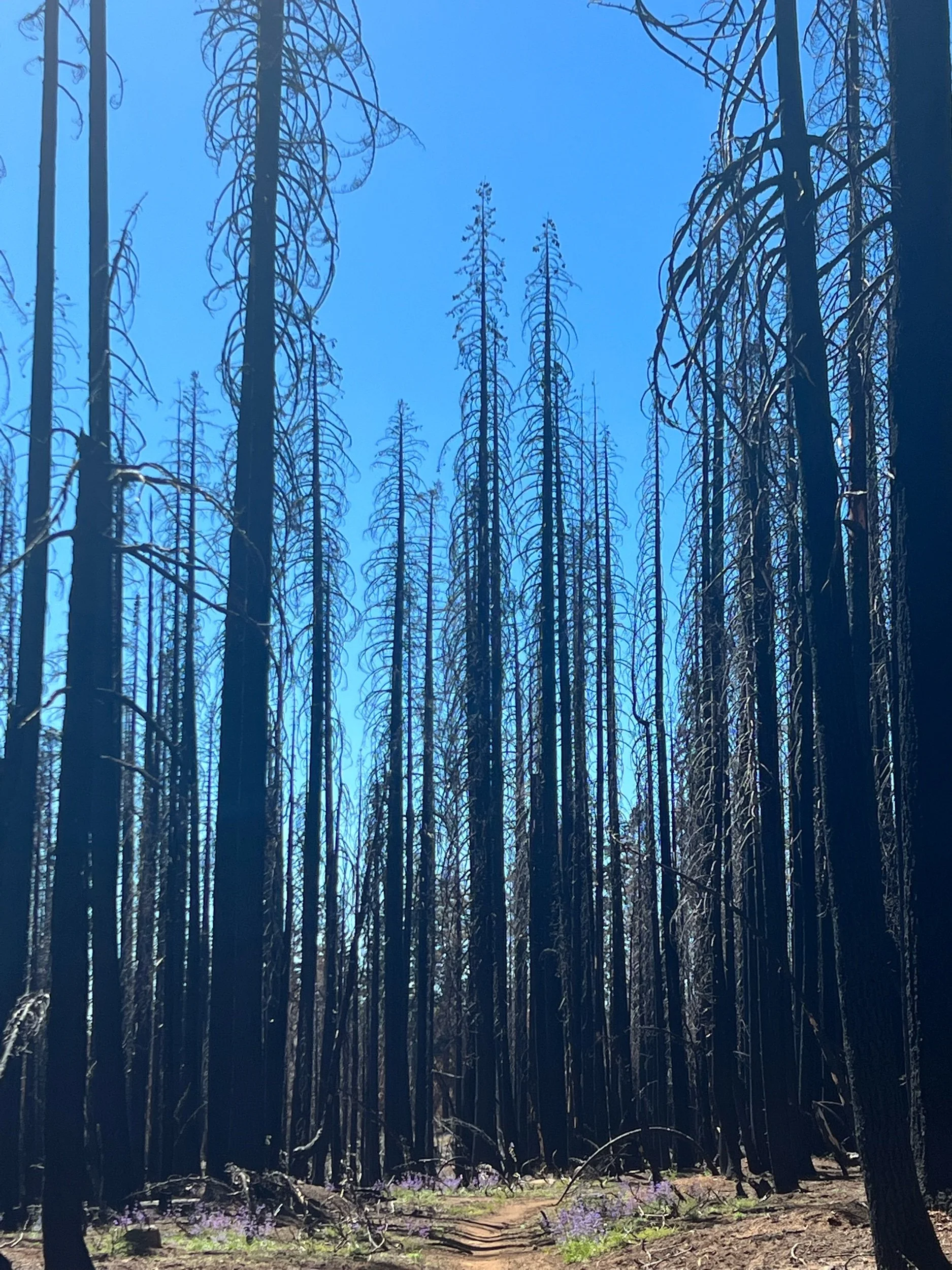
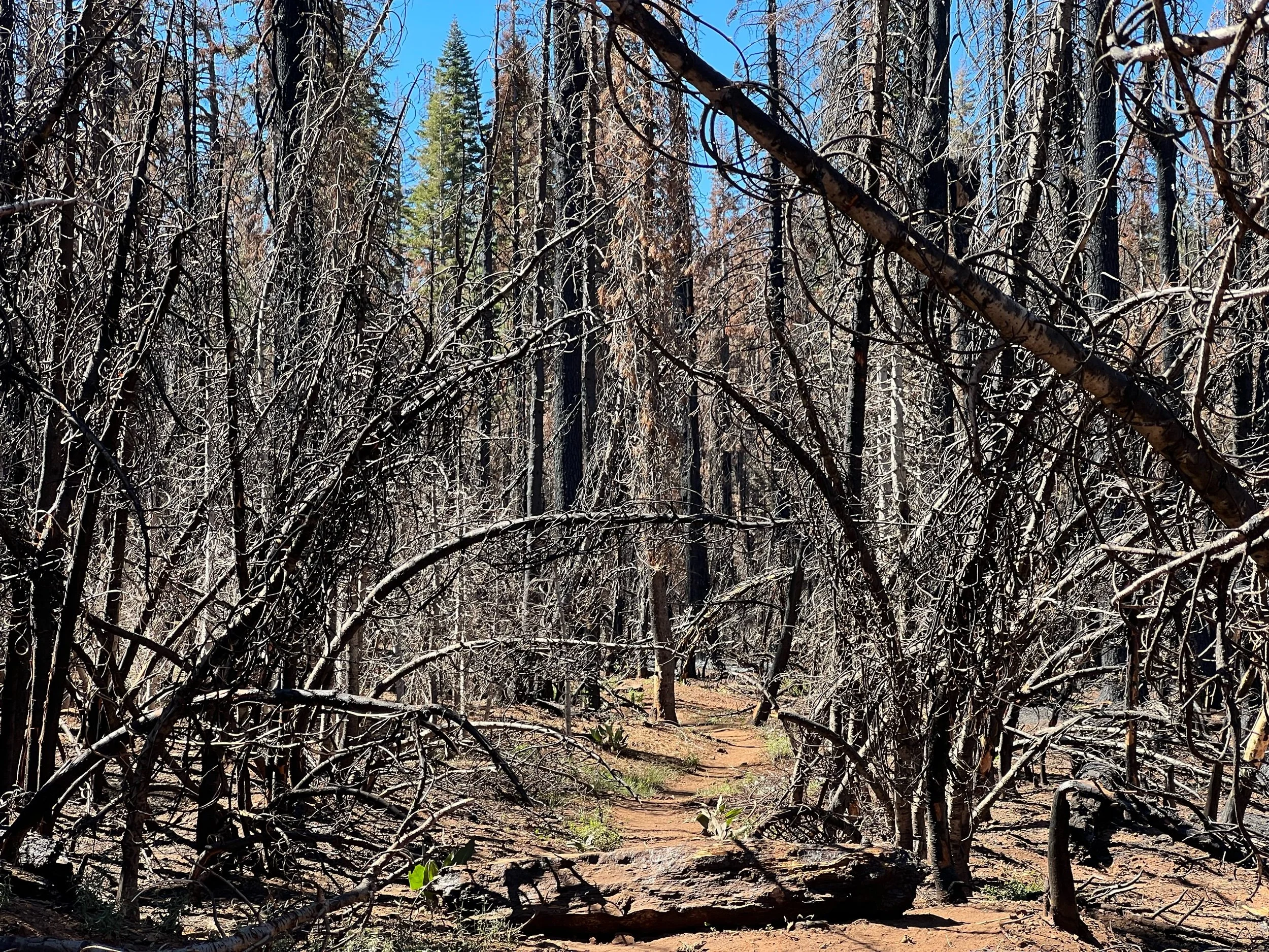
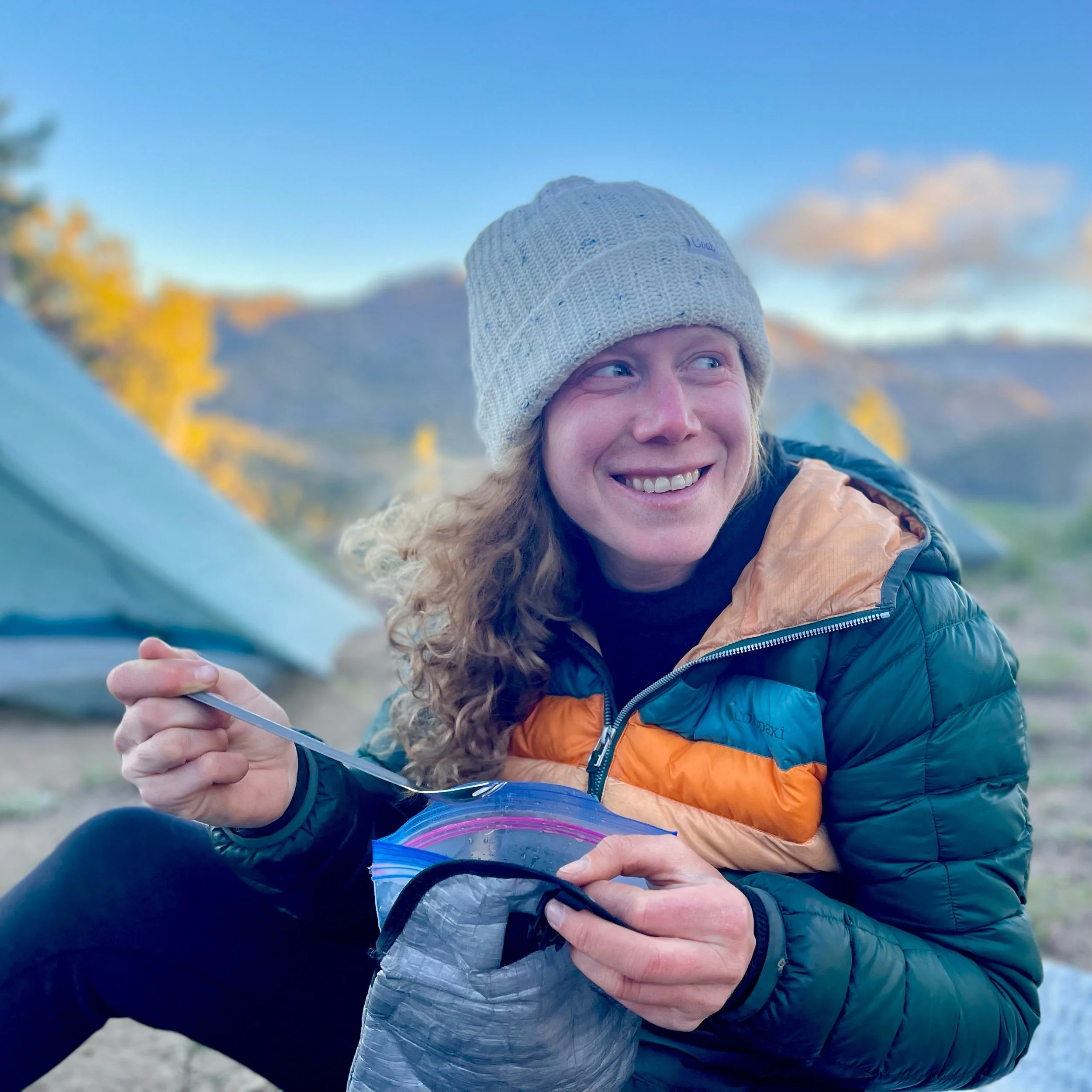
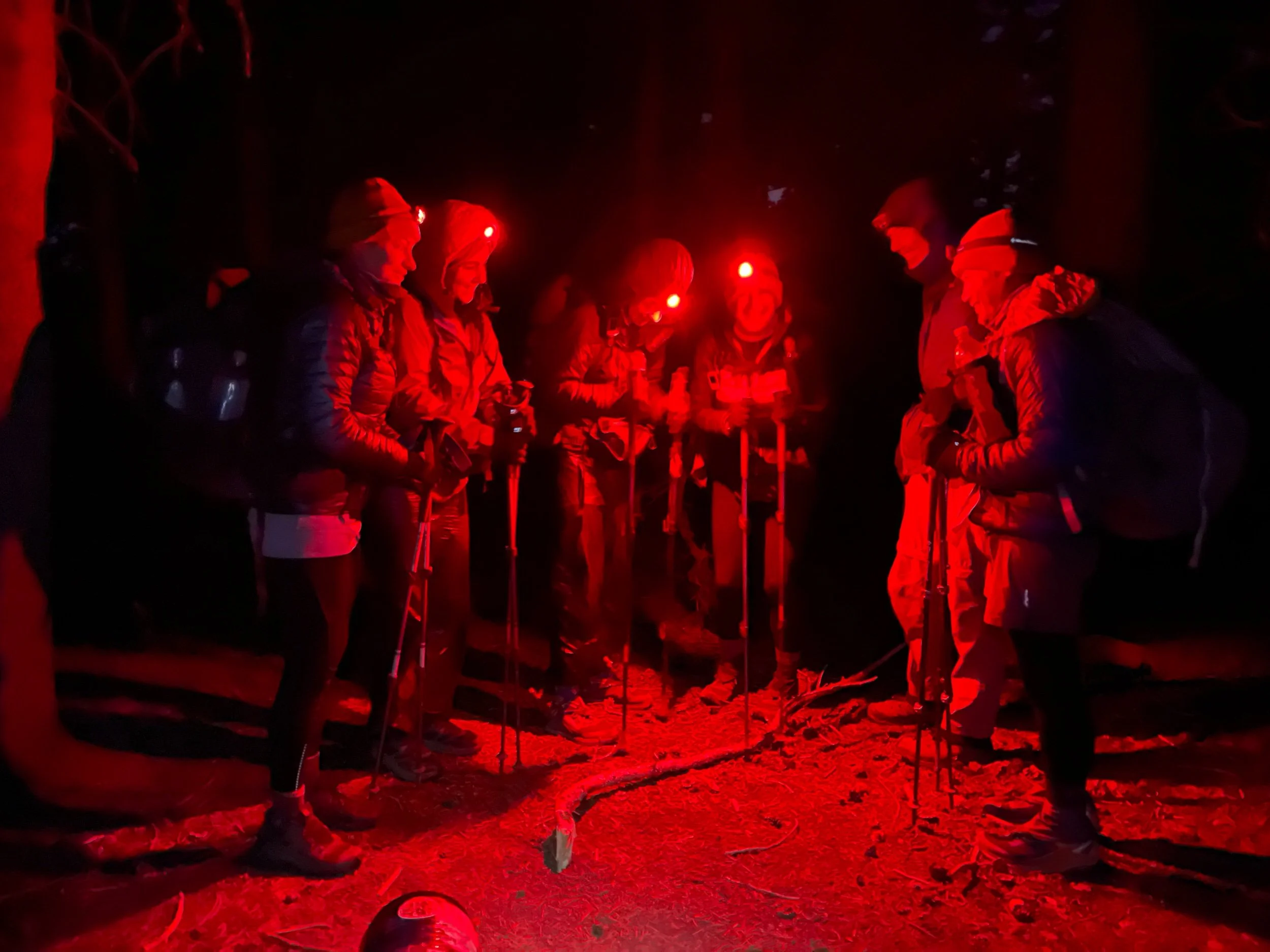
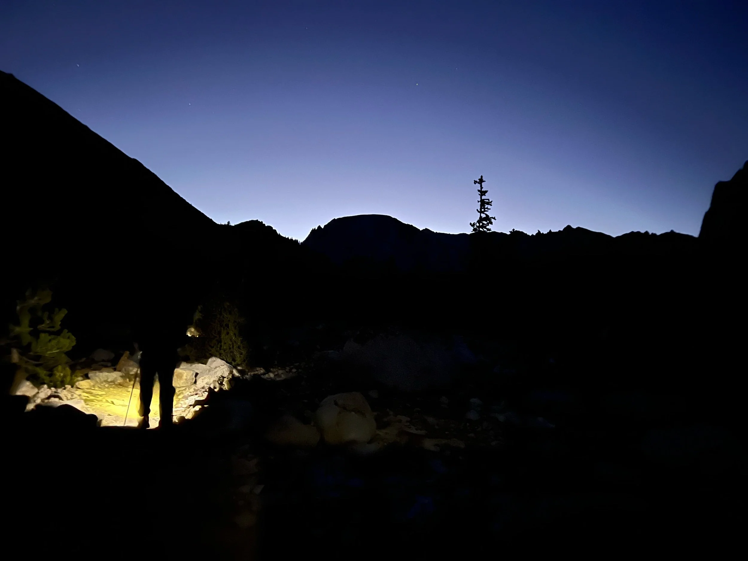
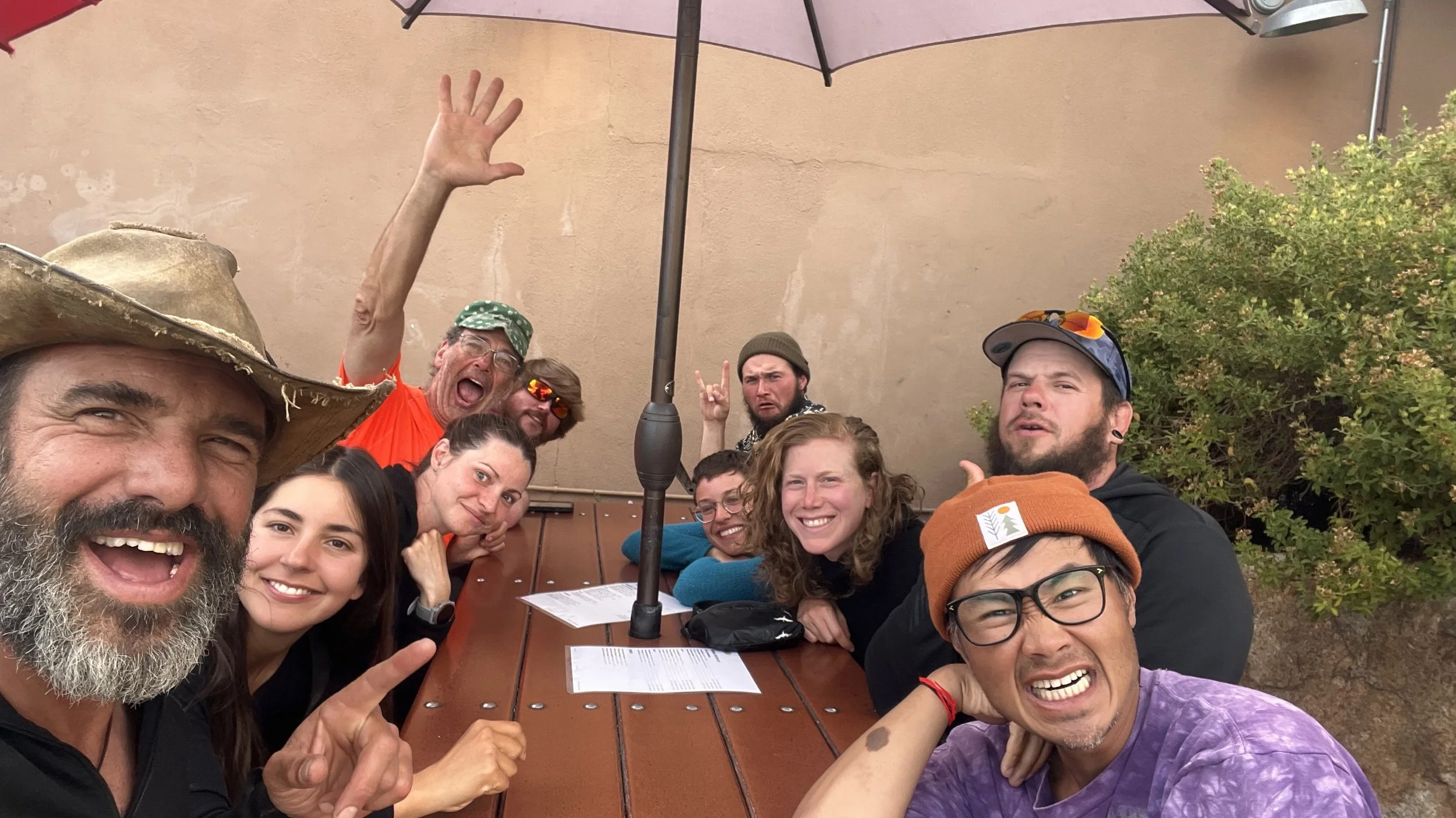
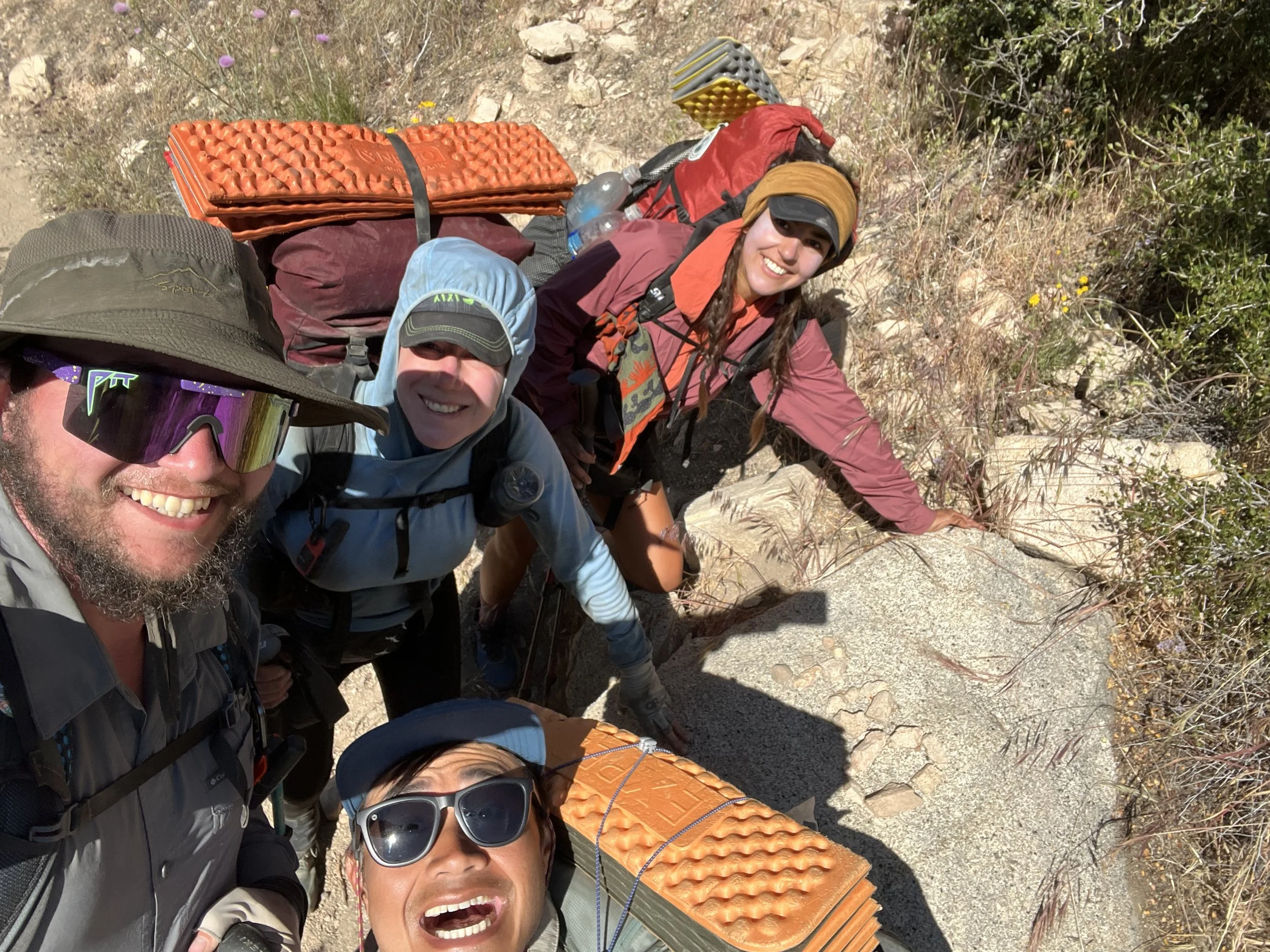
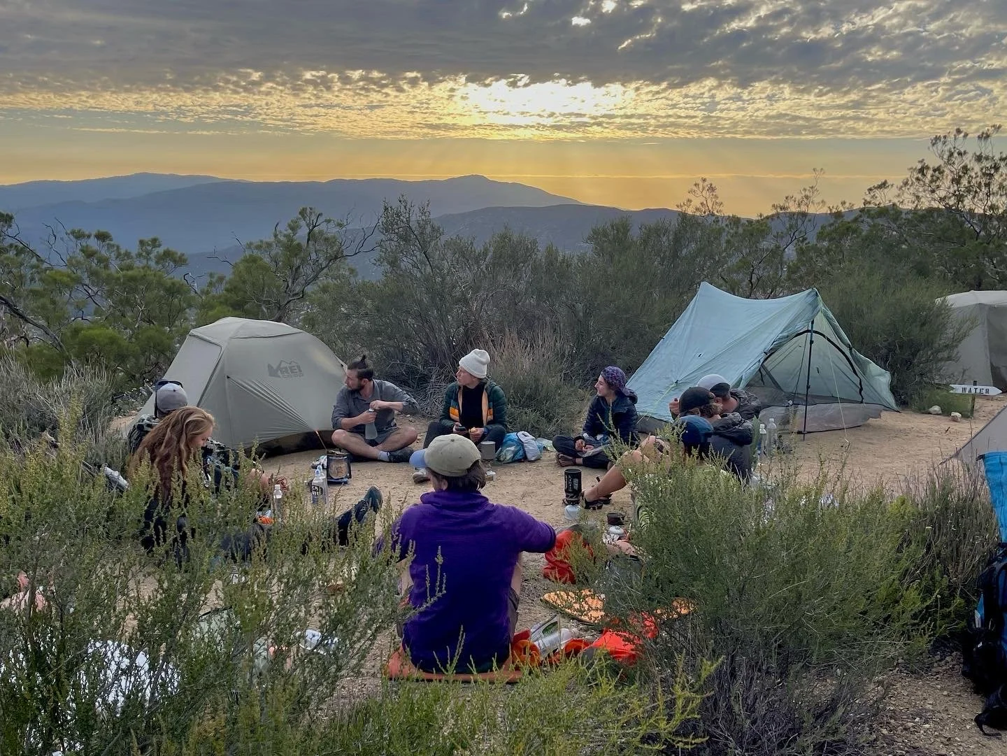
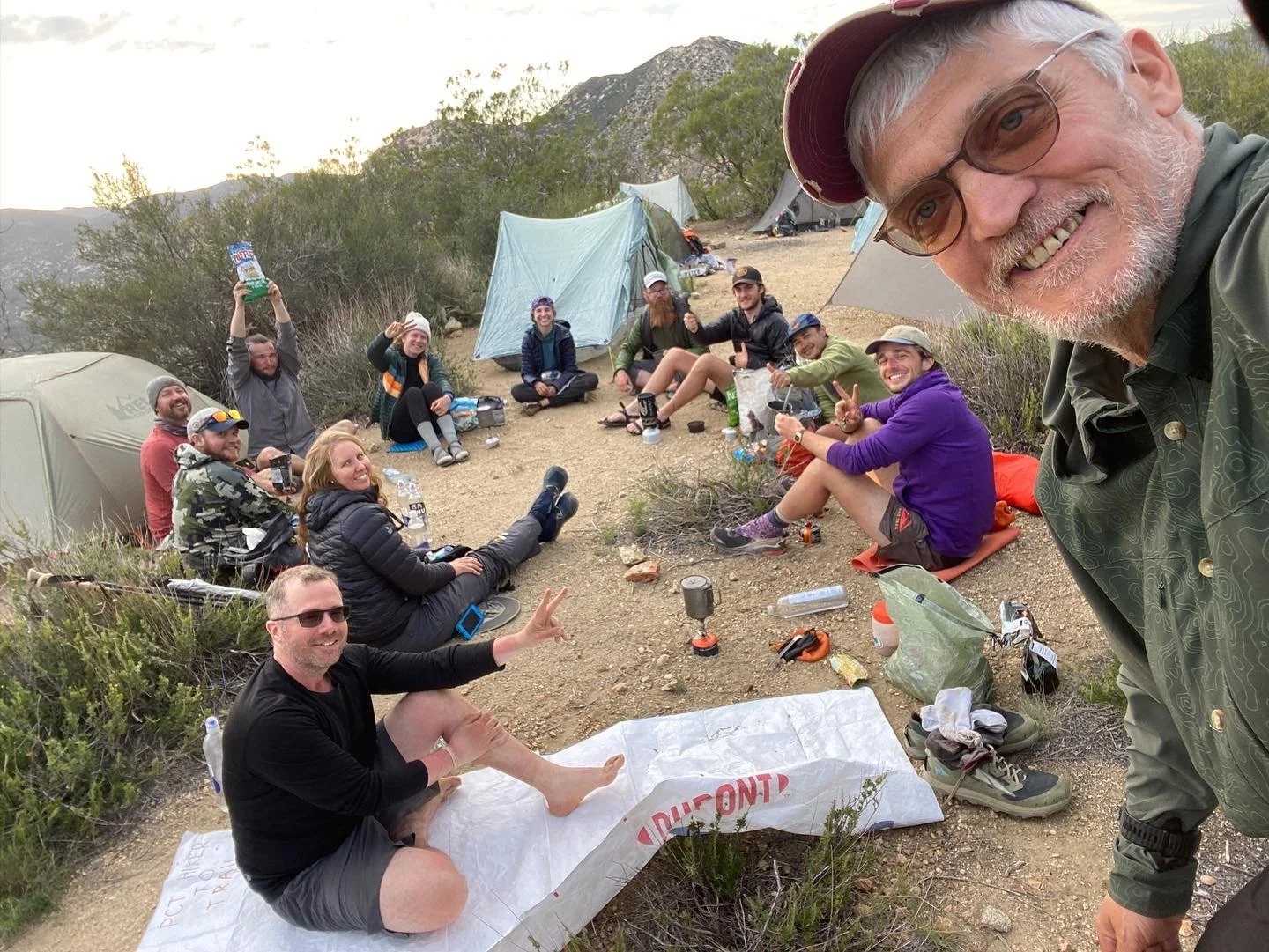
Hiking at night is disorienting in general, but it is particularly unnerving when hiking through burned forests. Black mangled branches line the trail and a purplish-blue sky fills in the gaps. Your headlamp provides just enough light to see your steps in front of you. You keep walking, hoping that the chosen campsite is not surrounded by dead, breaking trees. Your heart beats with excitement when you see your friends’ headlamps in the distance setting up camp. You’re almost there and you will soon get to share stories of the day with each other over terrible food — ramen, instant mashed potatoes, or, my trail favorite, Annie’s white cheddar mac and cheese shells with a spoonful of Nutella for dessert. Okay, multiple spoonfuls. Nutritious! The four of us got into this rhythm, a traveling little family in the northern California mountains. Despite our nomadic life, I felt that I had a home.
On the night before reaching Etna, as we were eating dinner, Caveman made a strong suggestion framed as a question: what is the rush and why are we hiking so fast? He pressed us to follow his Slow Hiking Movement and gave us all the reasons supporting his Movement. His reasons made a lot of sense.
While slowing down may sound like an obviously preferable way to hike, there are egos on the PCT. Hikers sometime get wrapped up in how many miles they hike in a given day and there is a certain competitive edge about it. No one wants to be the slow hiker. People are impressed when you hike fast. I was impressed when I hiked fast! You often hear hikers talking about how they are going to hike “big miles.” But, as Caveman joked, a mile is a mile. There are no big or small miles. Jokes aside, it’s easy to get caught up in this way of thinking, in part due to ego, in part to lessen the weight of the food carry, and in part due to the necessity caused by the PCT’s limited weather window.
But now that we were alone in NorCal and our weather-window was bigger, Illy, Squeezy, and I (eventually) heeded Caveman’s suggestion. Rather than hike 25+ miles a day, which is certainly possible given the terrain in this section and our fitness at the time, we decided to hike 20-22 miles a day. In terms of time, this is 1-2 hours less hiking a day, assuming we were hiking 2.5-3 miles/hour.
This was one of the best decisions we made on trail. Caveman often discussed a book by Eckart Tolle, called the Power of Now. Admittedly, I haven’t read it so I cannot speak to its worth. But, the slower pace allowed me to embrace the philosophy — be present in the moment, rather than let your mind’s fixation on the future or rumination over the past overwhelm or diminish your current experience. People often ask me what I thought about on trail because I had so much time. Well, I thought about a lot, but in these final weeks, I stopped thinking so much. I started going with the flow and not asking when the flow starts. While this may sound like an Oprah-endorsed cliché, I lived in the moments, took in the beauty of the wilderness that had emptied of hikers, and enjoyed the company of the amazing people who I was lucky enough to meet.
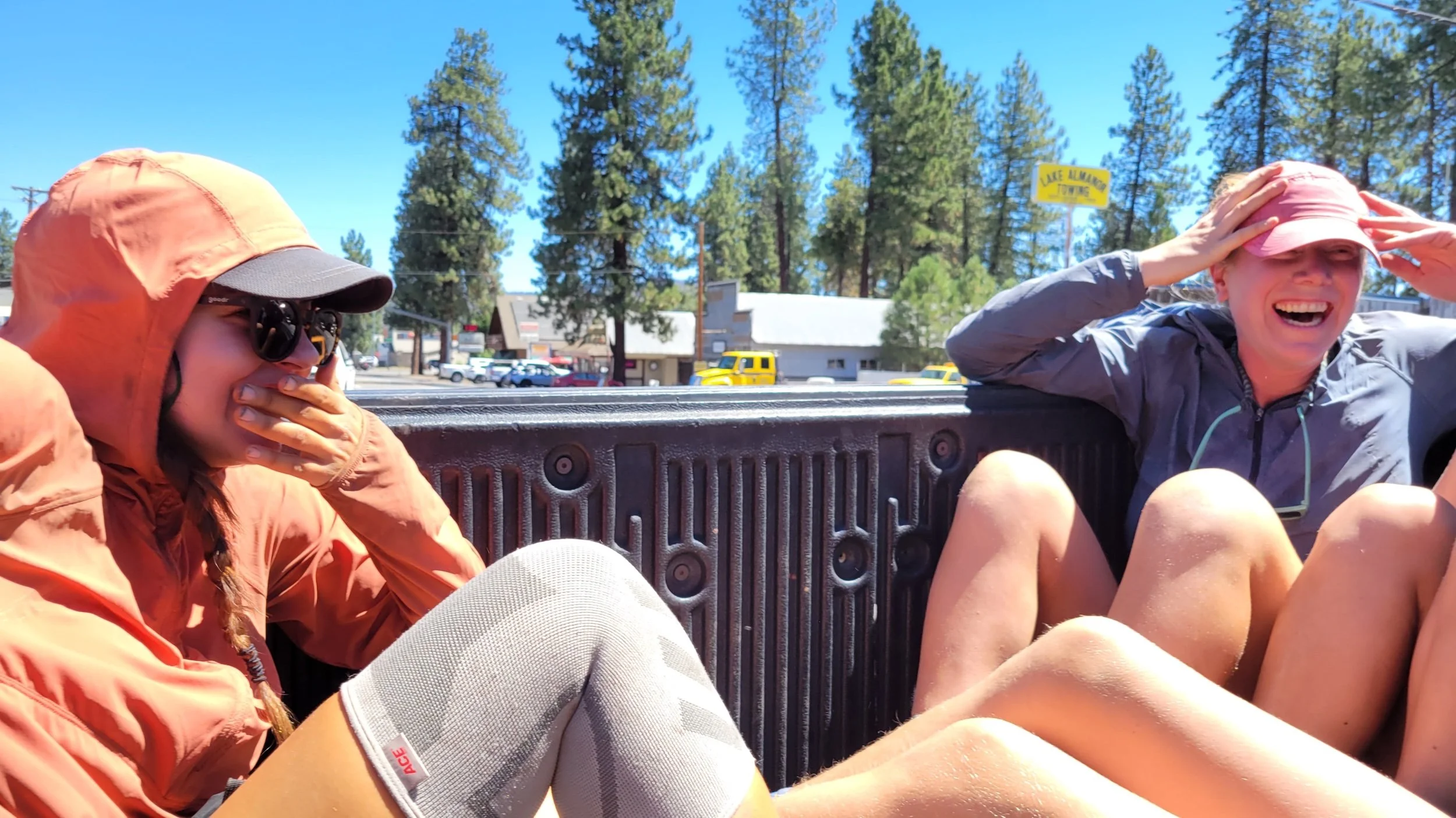
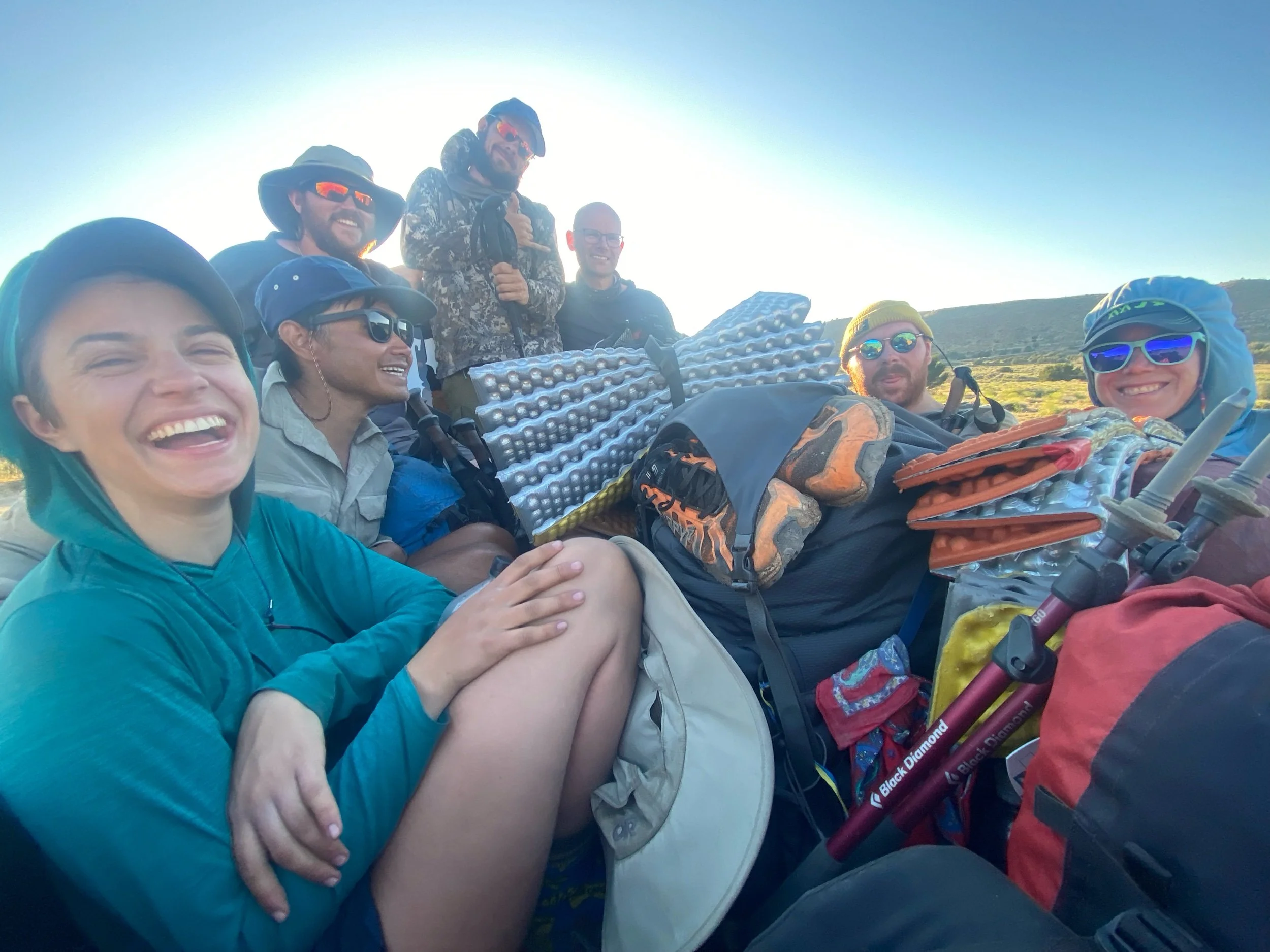
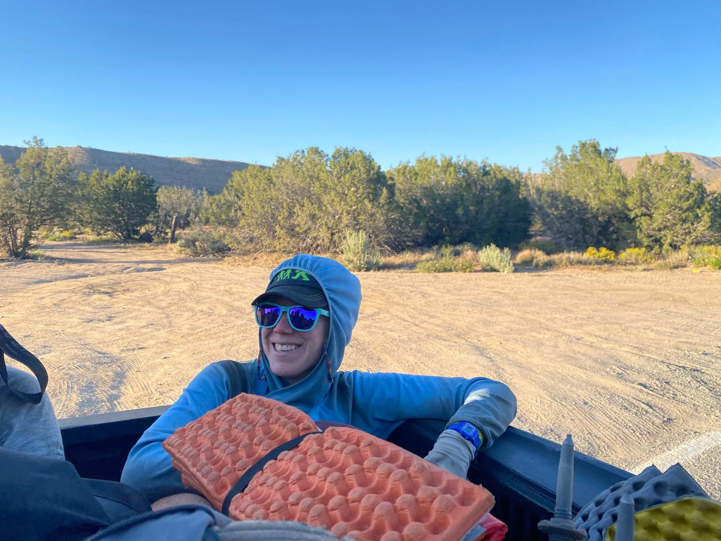
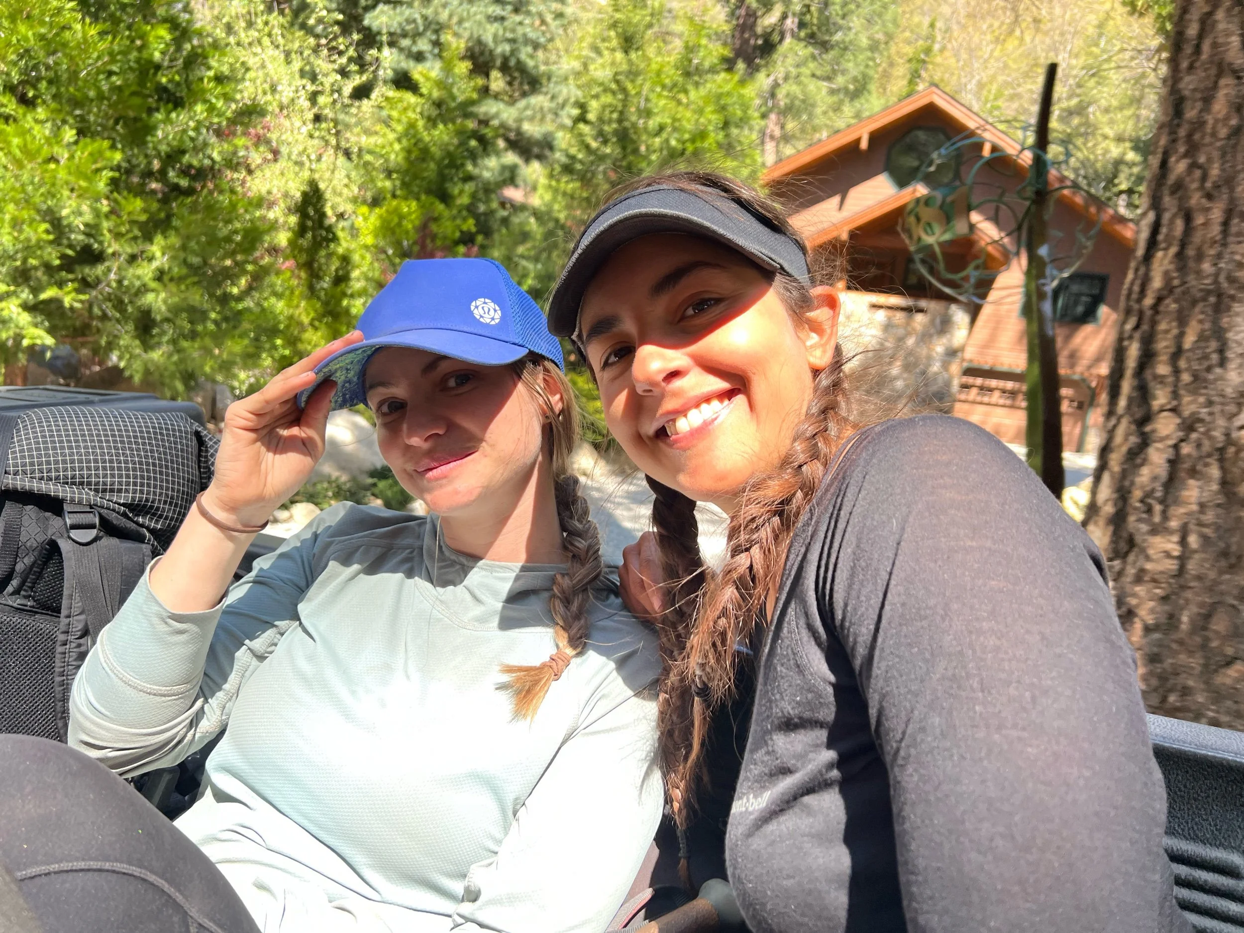
On September 9, we reached the town of Etna, CA. Etna is a hiker-friendly town that did a lot to help stranded hikers when the McKinney Fire broke out. At the trailhead leading to Etna, we met some SOBO hikers and we all got ride to town in the back of some nice loggers’ pickup truck. Many people ask me about the most dangerous parts of the PCT, thinking my answer will be animals or something in nature. I can say now with confidence that the most dangerous parts of the PCT are roads, cars, and trucks. About ten of us piled into the back of pickup truck, holding onto the railings that seemed to be coming loose but also secured our lives. As we weaved through the twists and turns of the mountain road, stopping only for the crossing cows, Illy looked over, and perhaps seeing my face, reached out her hand as support, in case the guard rail of the truck failed. We both laughed at ourselves and the situation, hung onto our hats, and let the warm wind brush across our exhilarated faces.
Needless to say, we made it safely to town, which consists of a delicious bakery, a gear shop, a couple of restaurants, and a post office. The distillery had a two-hour wait for dinner, even though some of its patrons show up on horseback and tie their horse to the post outside while they dine. We also had the good fortune of running into some old friends of ours in Etna—Sam, Denial, and Unfiltered. It was so good to see them, and catching up was the perfect excuse to delay getting back on trail. But, after the midday’s heat wore off, we mosied our way to find a ride back to trail. Within seconds, some nice folks pulled over to give us a ride.
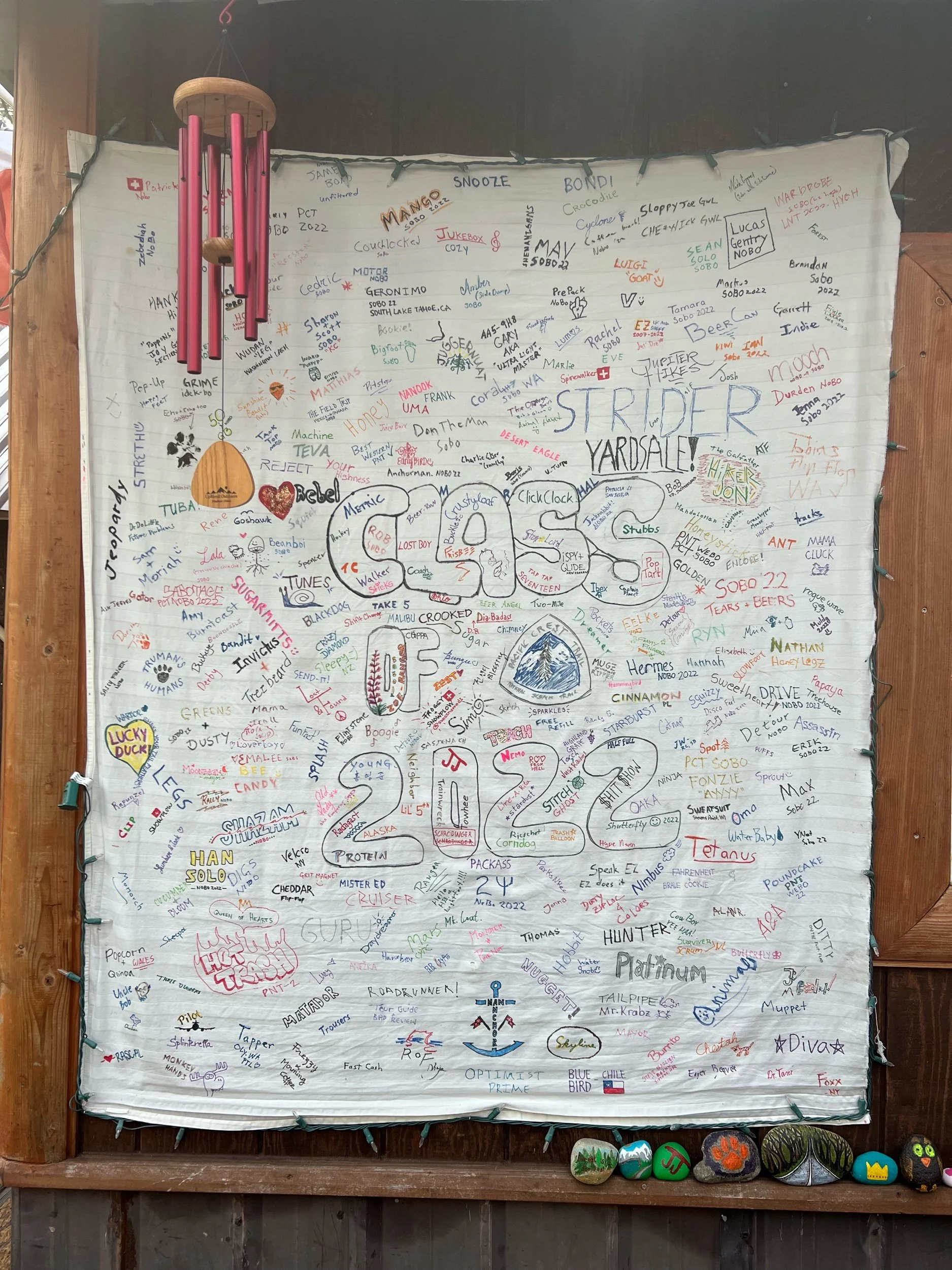
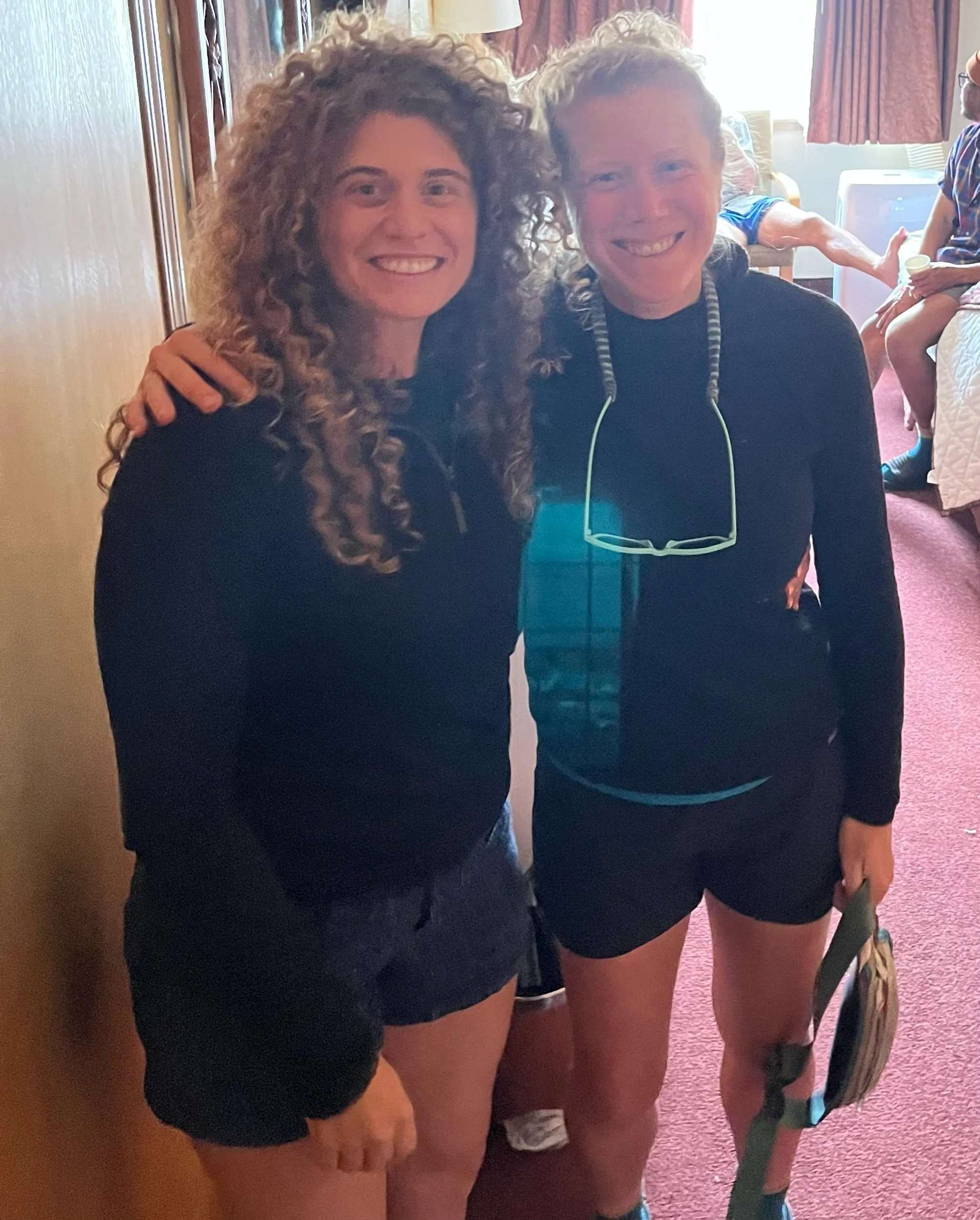
The next section, from Etna, to Ashland, Oregon, was the equivalent of a college reunion. Oh, and we also finished walking the entire length of California! In this stretch, even if we wanted to hike fast, it was difficult because we kept running into so many of our friends, as they made their way south. I hadn’t seen many of them since before we skipped up to Washington, and some not since the desert or the Sierra. Unlike us, who decided to go north from Mount Shasta, to Timberline, to make up the missed miles, many hikers in our position chose to do the opposite, go south from Timberline to wherever they left off in NorCal. Each time we ran into another hiker was a mini-reunion and a big smile crossed my face. I felt so lucky to have met all these people. All these hikers found ways to make up these miles, and, in doing so, we got to say goodbye.
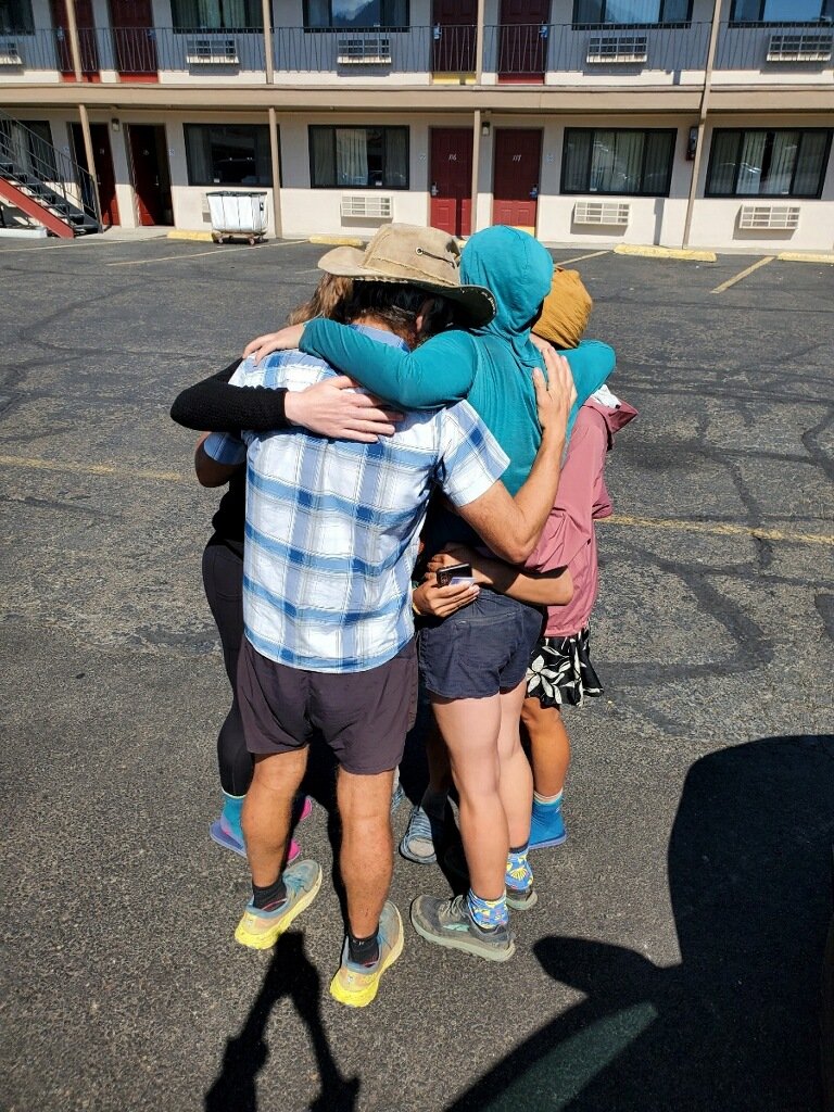
We also coordinated with Pickle, who met us just after Seiad Valley, the last town in California. Seiad Valley, perhaps the heart of the wannabe State of Jefferson, is mostly known for its sweltering temperatures, its general store run by the super-friendly Rick, a small cafe, and a large climb out of the town. Seiad Valley is one of the few towns where the trail literally goes through the town, so every PCT hiker walks through it. After making the big climb, we found Pickle. We all gave huge hugs, as we hadn’t seen Pickle for over a month. Seeing Pickle was like running into a close friend you hadn’t seen in years. We caught up, shared stories, and laughed over jokes that aren’t objectively funny by any standard, but somehow bring you to tears. Pickle would hike with us until Ashland, where we’d have to go our separate ways.
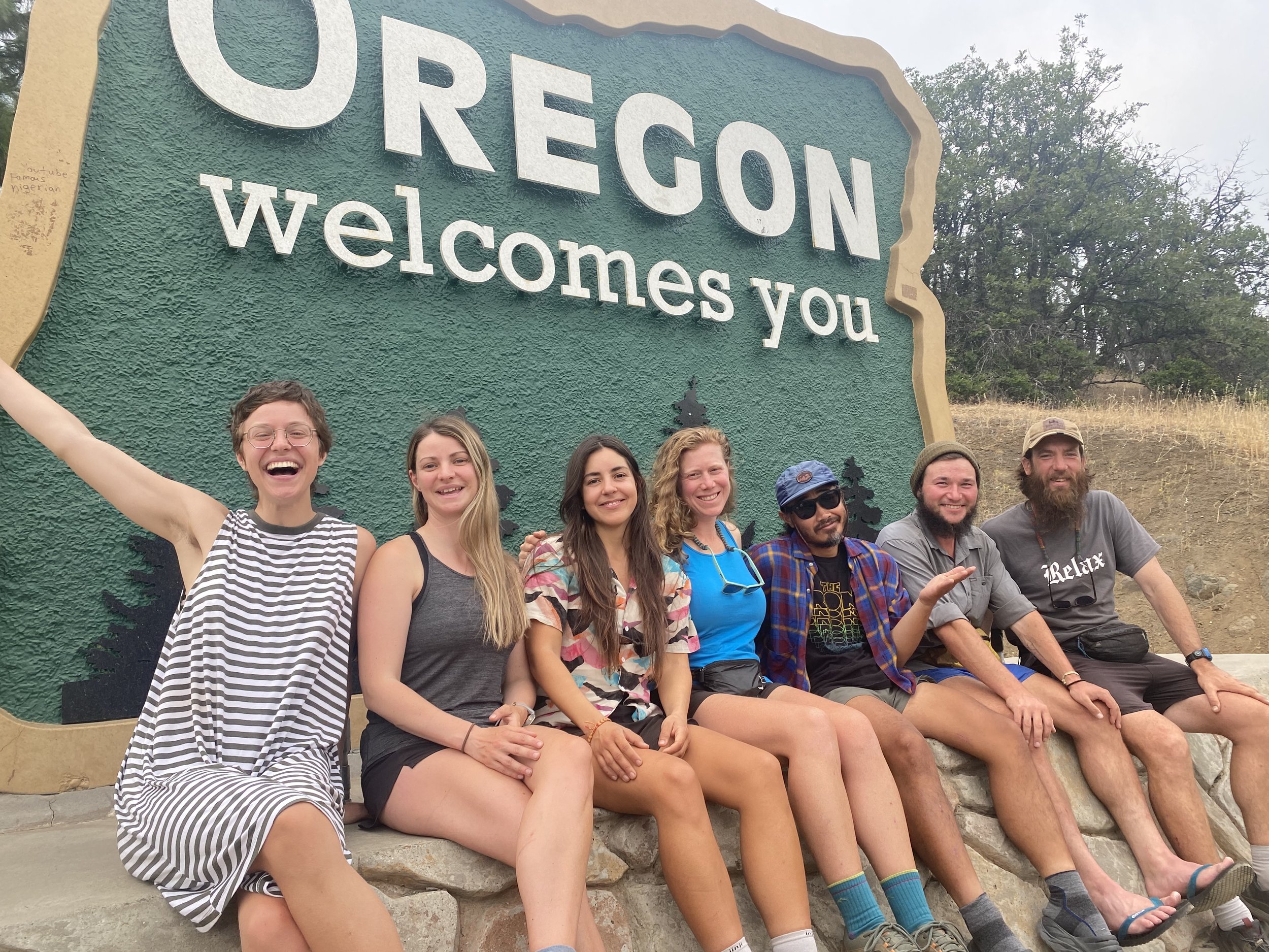
We also hiked some miles in this section, too. Most notably, after 1694 miles of the State of California, we finally crossed into Oregon! This felt like the biggest milestone yet. I walked the entire length of California. I really couldn’t believe I had walked all of Cali-freakin-fornia. Writing it even feels unreal. I started reminiscing about all the highlights of this ridiculously long state, trying to think of my favorite parts, the wonder and newness of the desert, the beauty and majesty of the Sierra. This was up there, and not because it was the end of California. It was up there because I had become close friends with these awesome people, and together, we found a way to get back to the middle of nowhere and finish what we had started.
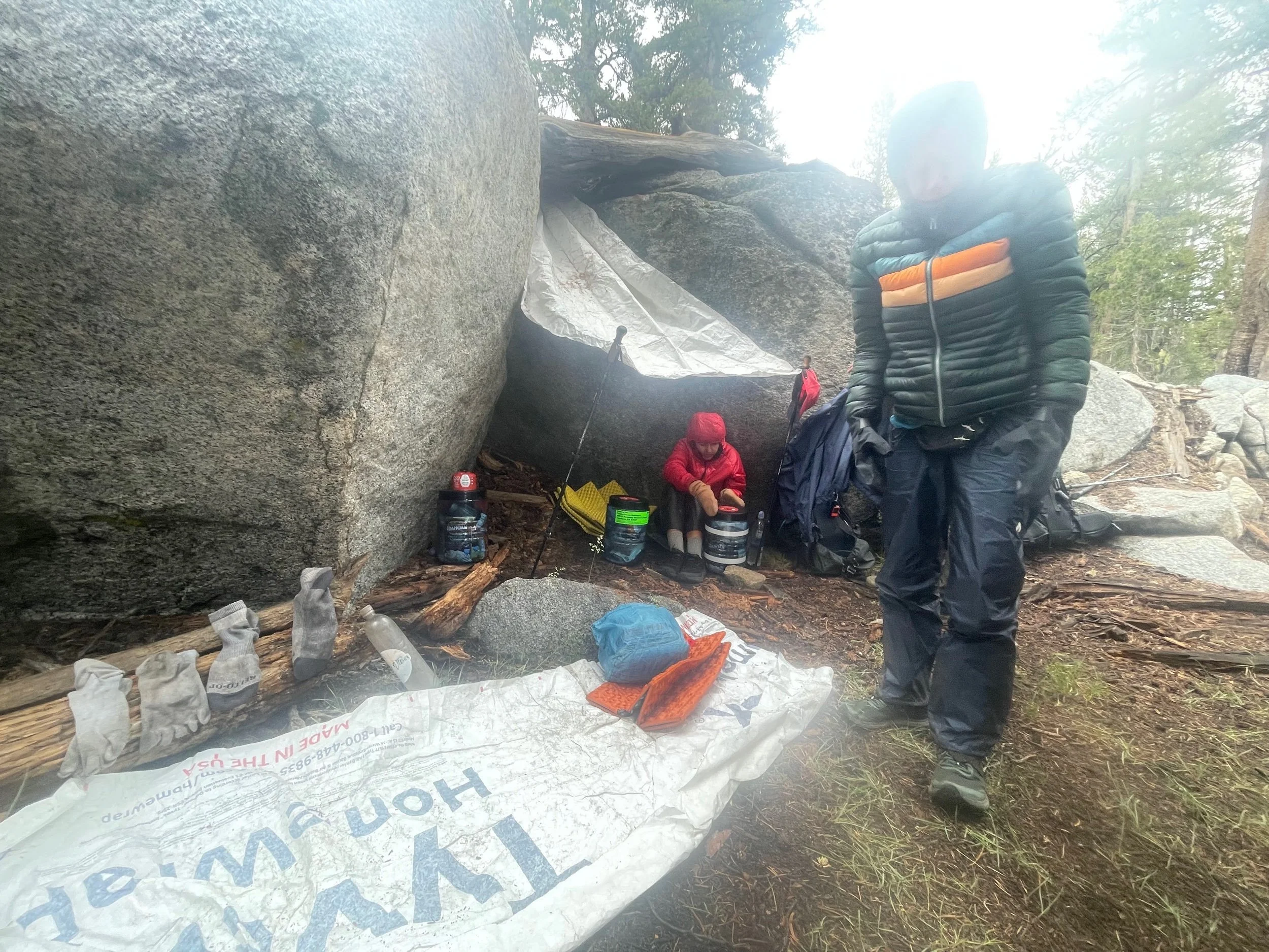
We left Ashland on September 17. Soon into hiking that day, it began to rain. And it didn’t really stop. For nearly a week. That day, we set up our tents in the rain, ate dinner in our tents in the rain, and woke up in the rain. I heard the patter of rain all night (there was no pittering, only pattering). The rain and the onset of colder temperatures made it clear the seasons were changing. We had hiked through spring, summer, and we were in the fall of our hike. I started to sense that this adventure was going to end, and the weather was making sure we knew it, too. But, in the meantime, we’d continue to hike.
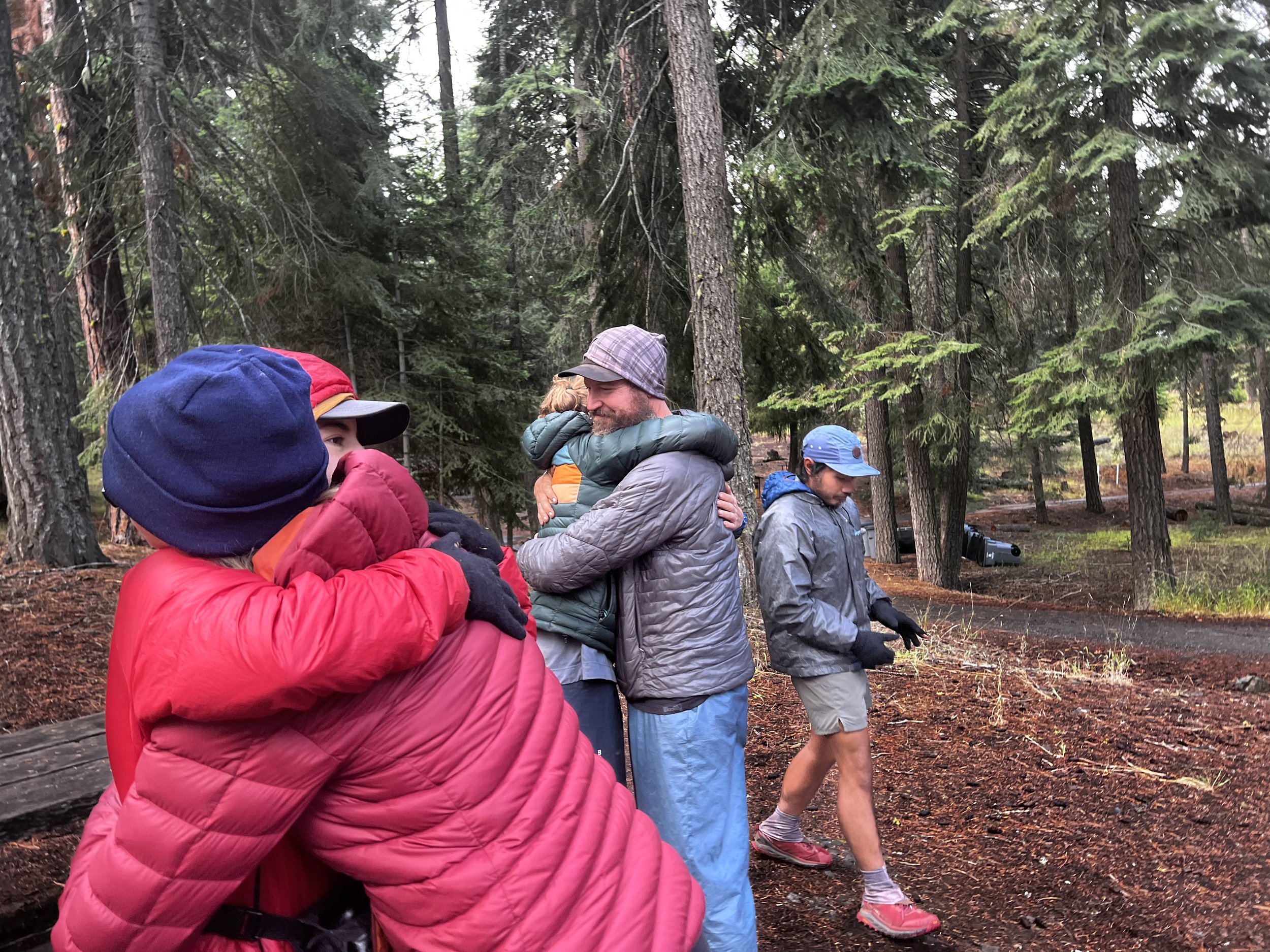
Up until this point, I could count on one hand the number of days it rained on trail. The weather out here is so different than the east coast. It just doesn’t rain in California! While lack of rain is a challenge for the environment, hiking when it’s not raining is hugely preferable, obviously. Particularly when it’s also cold. But a new obstacle! Getting out of your tent when it’s still raining! Packing up soaking wet gear! It took me until 10am to face this obstacle this day, many hours after I normally started hiking, but I eventually did it. Plus, we had planned to meet Big Spoon and Slay at a campsite about 20 miles away (they had gone south from Timberline). So, unless I wanted to get there super late, I needed to get moving. I was excited to see them, so rain be damned. And it did clear up, allowing us to have a proper goodbye dinner with Big Spoon and Slay. It felt like the old times, and we had a final meal as a group, laughing over our crappy food and convincing Big Spoon it was about time he made his much talked about Beard Ramen.
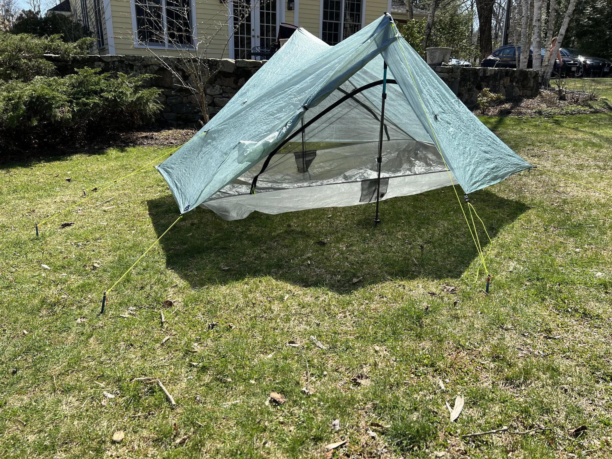
The next day, we said our goodbyes. We hiked only 13 miles that day, as we came across one of the few cabins you can sleep in on the PCT. It was supposed to pour that night and we were tired of sleeping in the rain, even though we only had endured only two nights of it. But those two nights were enough. So we stopped hiking early, Squeezy made a fire, and we just enjoyed ourselves. As night began to set in, the four of us piled into this seemingly cozy cabin, which was just big enough for all of us. Although we stayed dry and warm, none of us slept. A vicious unidentified rodent terrorized us all night, seemingly being everywhere and nowhere at the same time. We heard chewing sounds throughout the night that were coming from all directions, wondering what it was chewing, hoping it wasn’t some expensive piece of gear. At one point, I swore someone was noisily eating potato chips while crinkling the bag over and over again. No, no one in our group was eating potato chips at 2am. It was the terrorist rodent. While our food was secure, we learned the next morning that the rodent seemed to take a liking to Caveman’s tent, leaving chew marks throughout the mesh lining.
Over the next couple days, the rain would stop, only to start again, usually when we decided to take a break. More rain, more clouds. We couldn’t get away from the rain, as it seemed that we kept walking in the direction of the rain clouds. I took almost no photos on this stretch, more concerned about my cold fingers than snapping shots. The same questions kept repeating in my head: Would the sun ever appear again? Would I be able to enjoy a break without cold pellets dropping on me? Would we be able to have dinner together or would we need to retreat to our tents? Would anything dry? These were my thoughts.
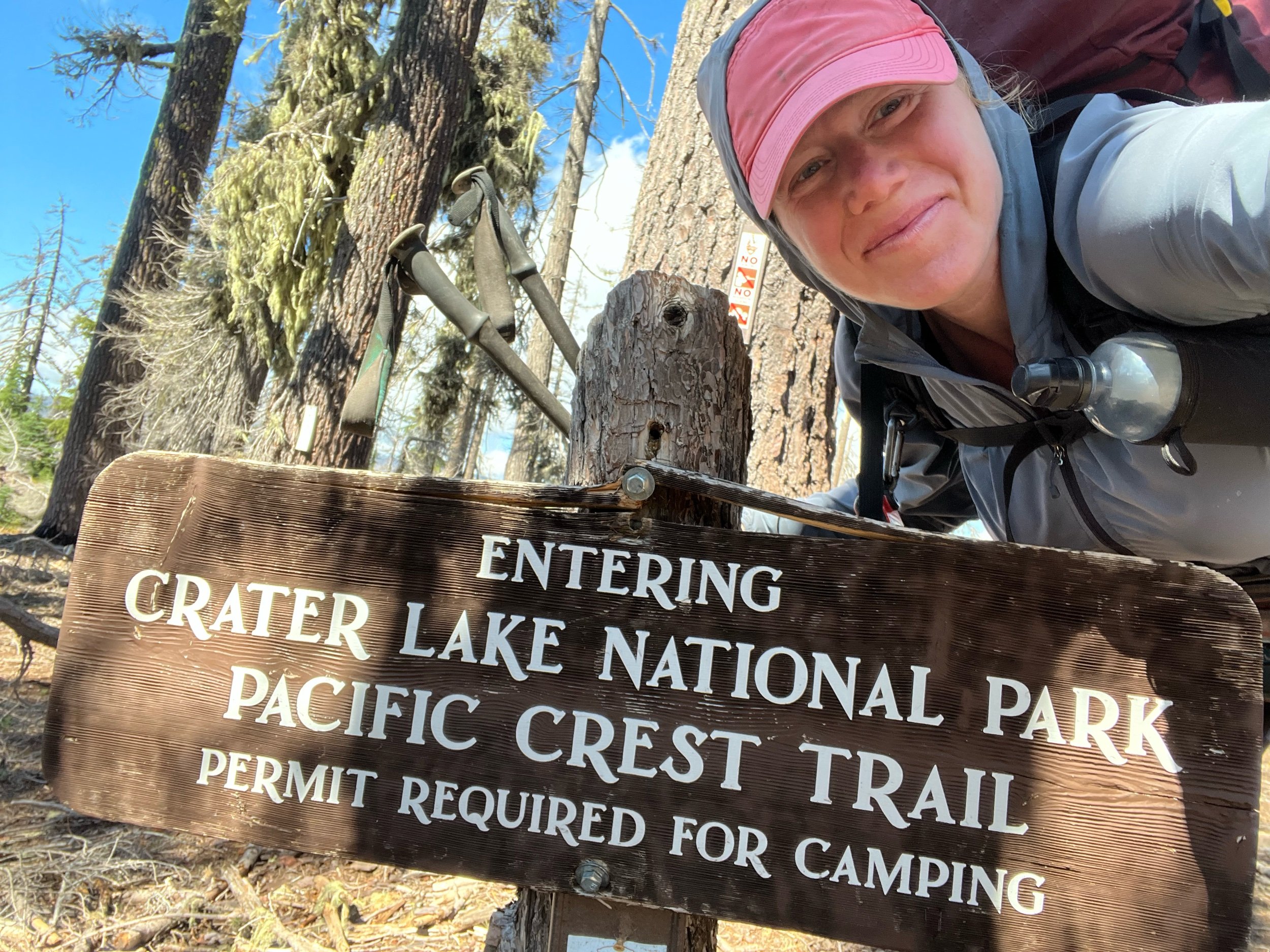
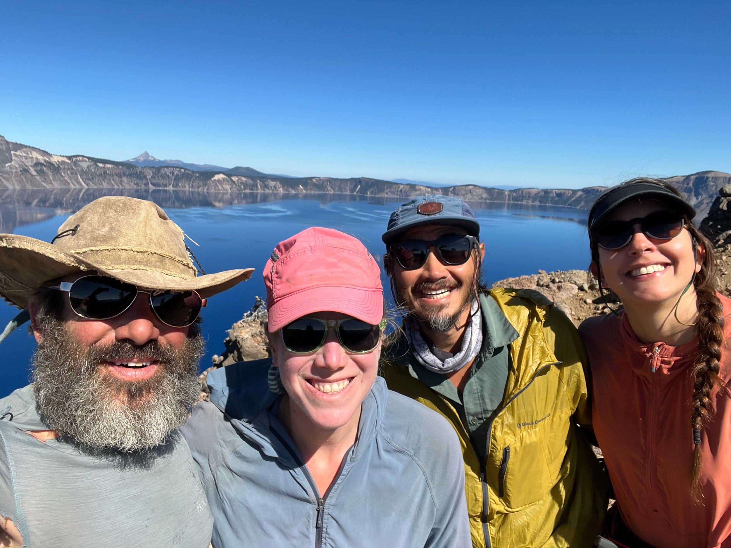
On September 22, it finally stopped raining and the sun did reappear, just in time for us to make it to Crater Lake National Park. Caveman convinced us to take the next day as a zero day exploring the park, rather than rush through one of the most incredible places on the trail (and arguably in the world). That night, we camped at a designated campsite in the park, but a short ways from the main event. It was cold that night, with temperatures dropping below freezing and ice forming on our tents, but we huddled around the fire that Caveman built, excited for our upcoming day of exploration of Crater Lake.
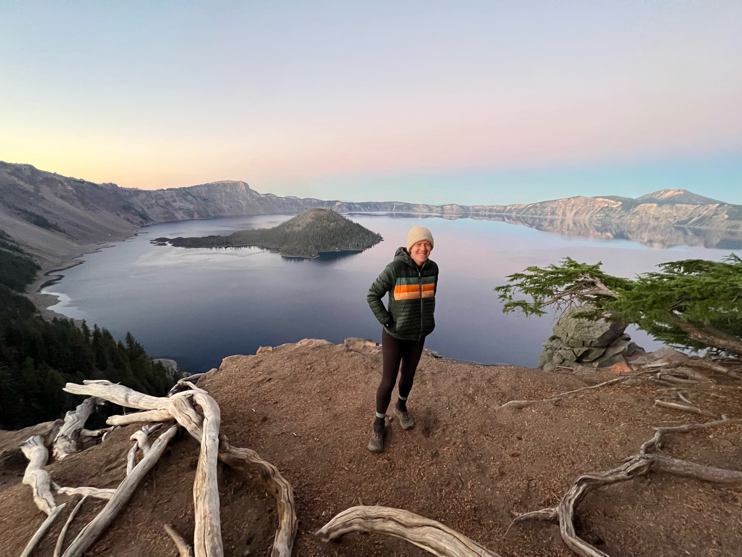
Our non-hiking day exploring Crater Lake was one of my favorite days on trail. Crater Lake was formed by a volcano that collapsed thousands of years ago. It’s the deepest lake in the United States and the deepest volcanic lake in the world. There are no rivers or streams that feed into Crater Lake. Rather, all of the water comes from rain or snow. The water’s color changes depending on the sun’s light, but with full sun, the lake is the purest shade of blue I’ve ever seen. The weather on our tourist day could not have been better to take in this wonder: blue skies, temperatures in the high 60s/low 70s, and a shining sun that warmed our smiling faces. My memories of rain faded away.
By the time we arrived at Crater Lake, it was the end of the season, so there were few PCT hikers there. While there were some tourists visiting the lake, it seemed far less crowded than if we had been there in August. We made our way to Rim Village and let the day unfold before us. It unfolded in magical and unsuspecting ways. As we arrived at the lake, we hadn’t gotten far before a luxury guided bicycle tour group had a huge spread of colorful food, offering it to us to enjoy. We indulged in the fresh salads, fruits, and charcuterie that beat anything we’d ever find anywhere else on trail. We were eating things that weren’t beige! We were eating gourmet food overlooking Crater Lake! What a treat.
After eating our second meal of the day before doing any real hiking, we decided to hike to a top of a peak with views of the lake. We hid our packs in the woods. Without the weight, we nearly ran up this peak, passing huffing and puffing day hikers. After sitting and enjoying the views of this surreal place, we made our way down and headed to the Crater Lake Lodge, a hotel that was built in the 1920s. We intended to stay only for a bit, but we met this incredibly nice man named Harry. Harry was likely in his 60s or 70s and couldn’t believe what we were doing. Harry, who lived in Alabama, was there with his wife and on his way to Seattle to have a check-up appointment with his oncologist. Yes, he went all the way to Seattle to treat his skin cancer. Harry insisted on buying us all drinks. Humbled by his generosity, we gladly accepted.
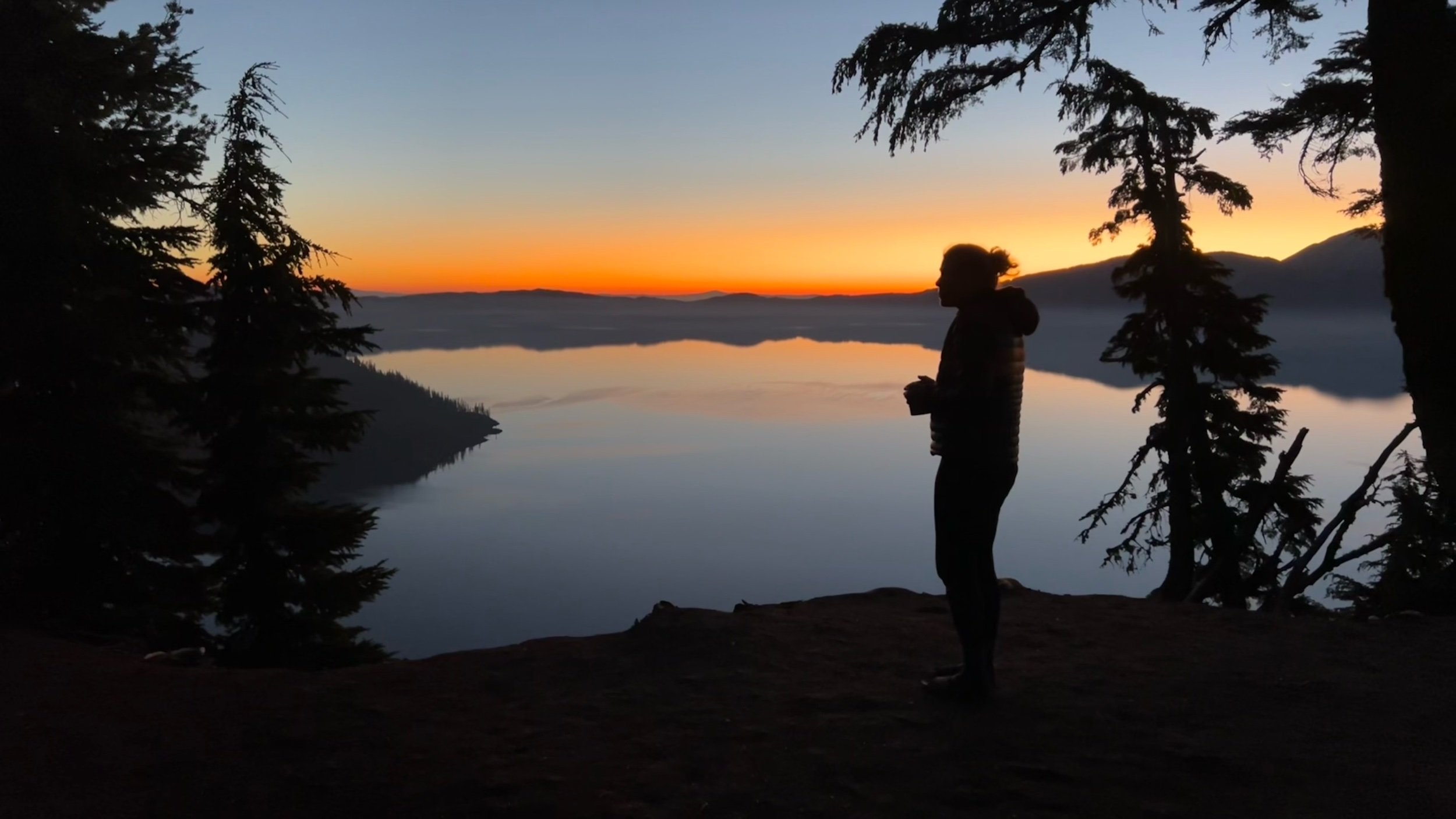
After hanging out at the lodge for probably too long, given it was getting towards evening, we decided we should hike a little bit and find a place to sleep for the night. We headed out to the Rim Trail, likely the most popular PCT alternate, as it follows the rim of the lake with outstanding views. Because the PCT is also an equestrian trail, the actual PCT has no views of the lake because stock being close to the lake would not be a good thing for the lake. Thus, most PCTers take the alternate. Since we were late in the season, the trail was virtually empty, so we were able to camp with clear views of the lake. The campsite we found may have been the most other-worldly place I slept throughout the 5.5 months I was in the woods. We couldn’t believe we had this to ourselves. As the sun set, the sky morphed into cool pastels of pinks, purples, blues, with the color of the lake darkening with the sky. The sky was a dome around us, with stars emerging and twinkling above us. That night, Jupiter just so happened to be closest to Earth as it had been in more than half a century. Jupiter shown brighter than any star in the sky. We collectively felt like the luckiest people in the world. The sunrise the next morning was equally stunning, with the purplish-blue sky filling with the warm colors of yellows, oranges, reds.
The next day, we made our way along the Rim Trail, taking in all the different views that Crater Lake had to offer.
Shortly north of Crater Lake, we made the decision to skip up to Bend due to the Cedar Creek Fire, missing about 140 miles of trail. While the actual closure was about 60 miles, the logistics of skipping just the closure were a bit tricky given its location and I don’t think any of us had the energy to take on setting up rides with kind strangers to and from the middle of nowhere. Perhaps in hindsight we should and could have figured it out, but, at the time, the actual miles seemed less important and we wanted to enjoy ourselves rather than deal with more logistics. So we skipped to Bend, got an Airbnb, and took a zero day. Bend is a very cool small city that sits on the Dechutes River. Among other things, it’s known for its excellent breweries and being the home to the last remaining Blockbuster.
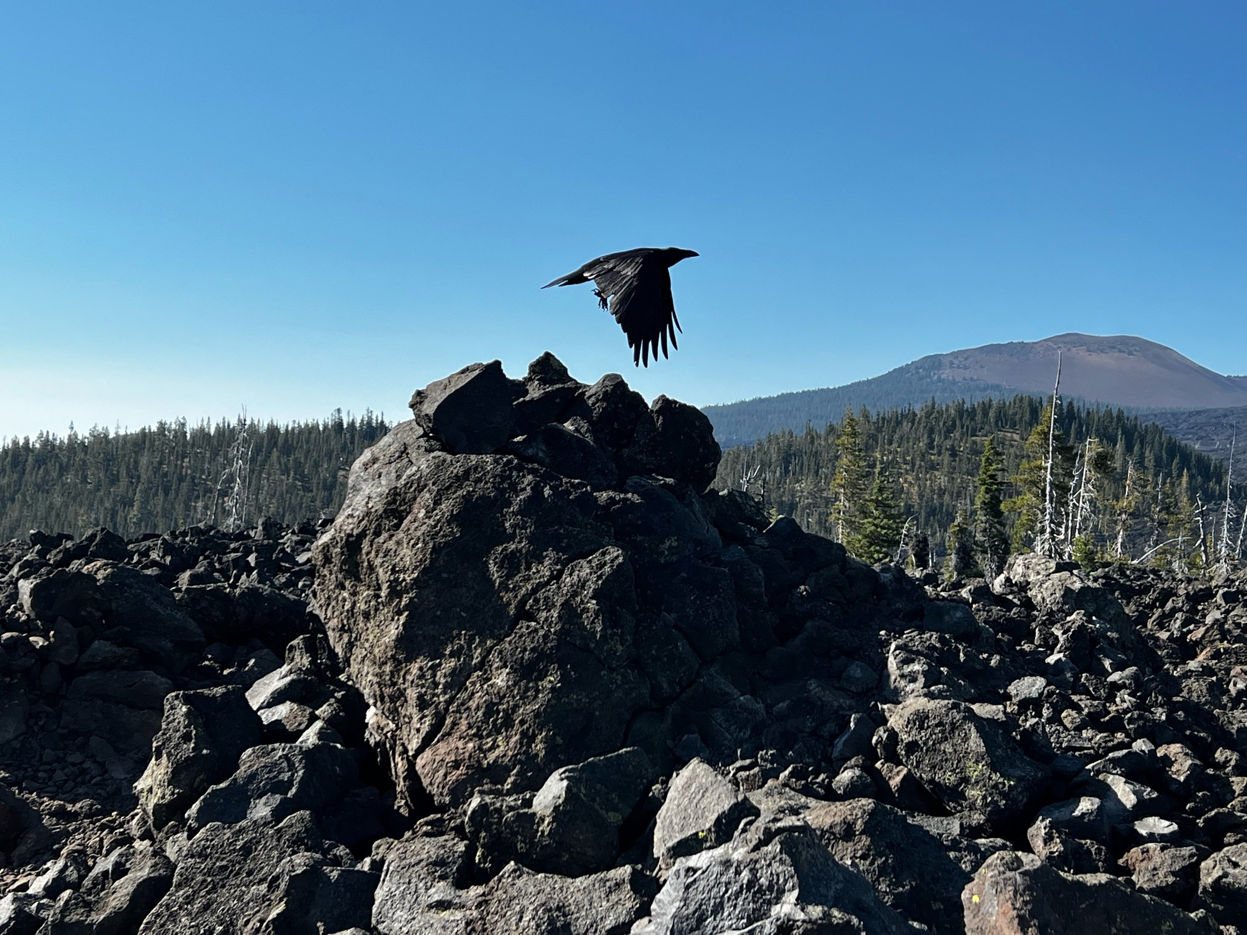
After Bend, we had our last section of trail, from mile 1983, to 2098, Timberline Lodge. During this section, we decided we may start a company called Armageddon Adventures. This section would be the flagship tour for our new venture, complete with volcano lava fields, blackened, charred forests, and pink skies peeking through the mangled trees. If you’re lucky, like us, you’ll also get a day full of pouring rain and gusting winds at near freezing temperatures to make it truly feel like the apocalypse is nearing. Don’t worry, we will be sure to stop by the small store at Ollalie Lake that has a wood burning stove where you can dry out your soaking clothes and get a hot drink. The stove, however, won’t dry out your clothes so much, as char them, if you happen to put the clothes right on the iron stove, if patience isn’t your virtue. The tour will also even add in some night hiking through burned forests in misting rain as a bonus to add to the thrill. But, in the midst of the apocalyptic views, you will see blooming flowers, golden and red leaves lining the mountains, and jagged volcanic peaks inhabited by families of mountain goats. Dinner, together, under the stars, is also guaranteed. We hope you sign up.
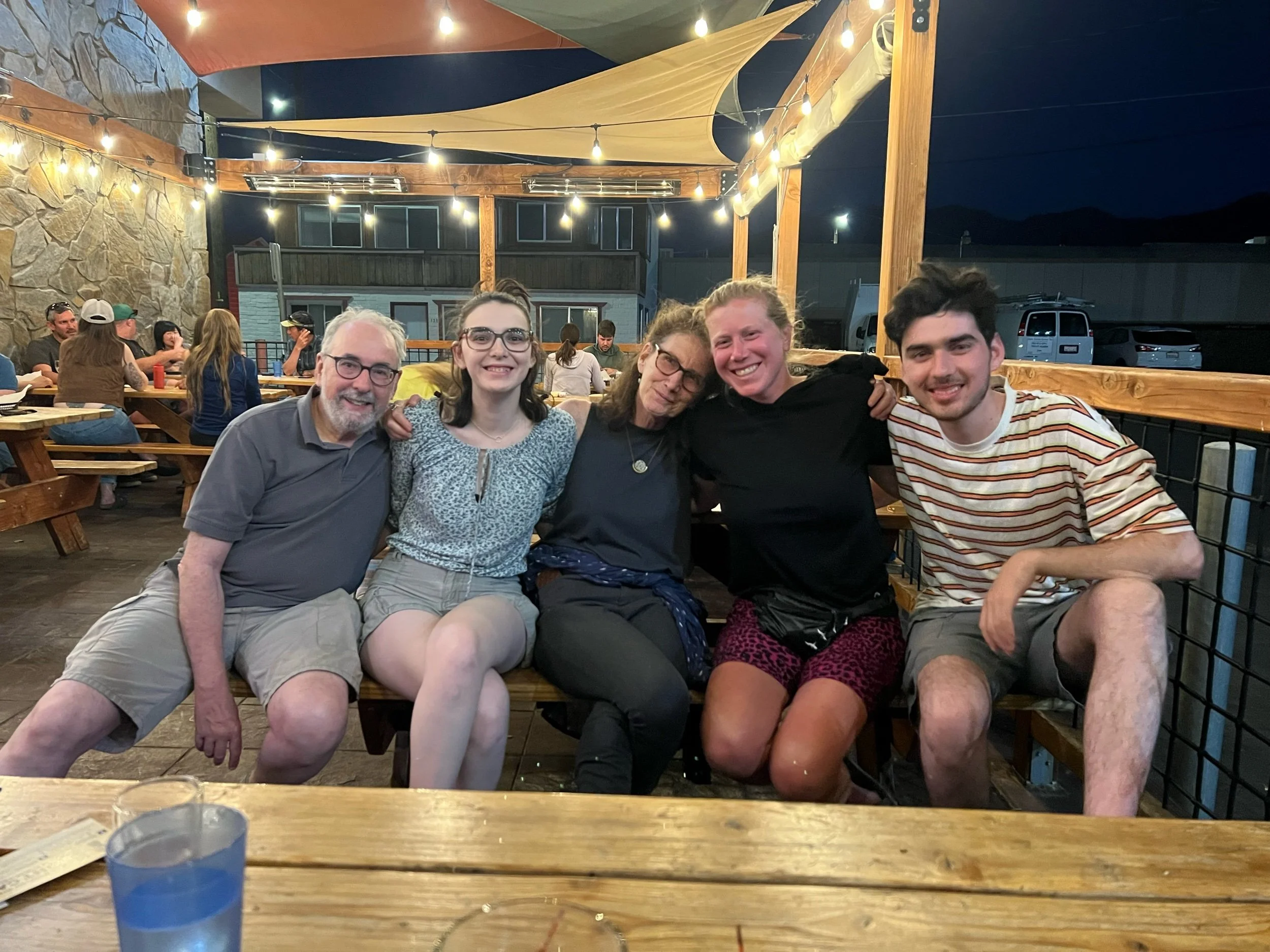
Our last night and day felt triumphant but also incredibly sad, as this adventure was coming to a close. I couldn’t believe I had walked the equivalent of the length of the United States. While the distance seemed unfathomable even though I had done it, it wasn’t my focus that day. My mind was replaying the last five and a half months. I spent nearly half a year immersed in the most spectacular wilderness with this traveling family I had found. I spent more time with some of this tribe than almost anyone I can think of in my adult life, sharing an experience that is difficult to describe to the outside world. We knew each other’s walking sounds, habits, restaurant orders, fears, talents, soft spots for laughter, strong spots for support, morning routine, and most things in between. I was going to miss them more than I could fully comprehend.
On our last night, we chose a campsite overlooking Timothy Lake. As we approached camp, the sun put on a show and the stars enveloped us. A few tears fell from my eyes, sad because this was ending, but overjoyed at my good fortune of experiencing this world and knowing these people.
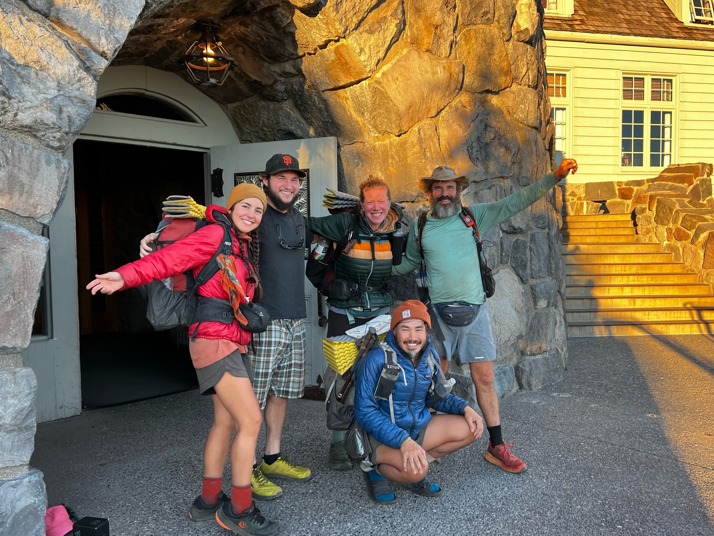
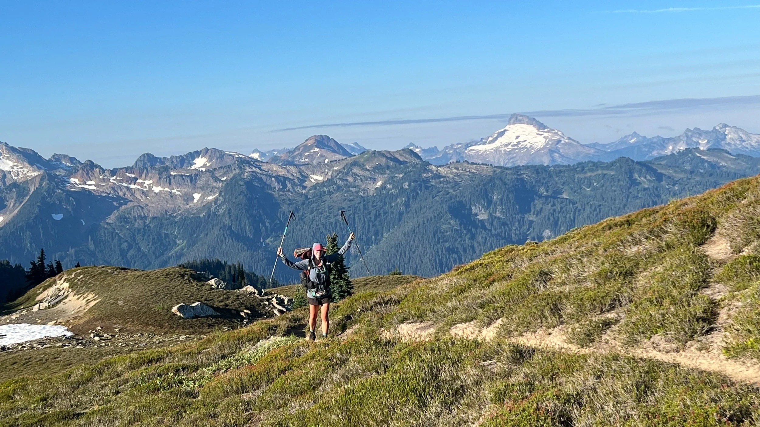
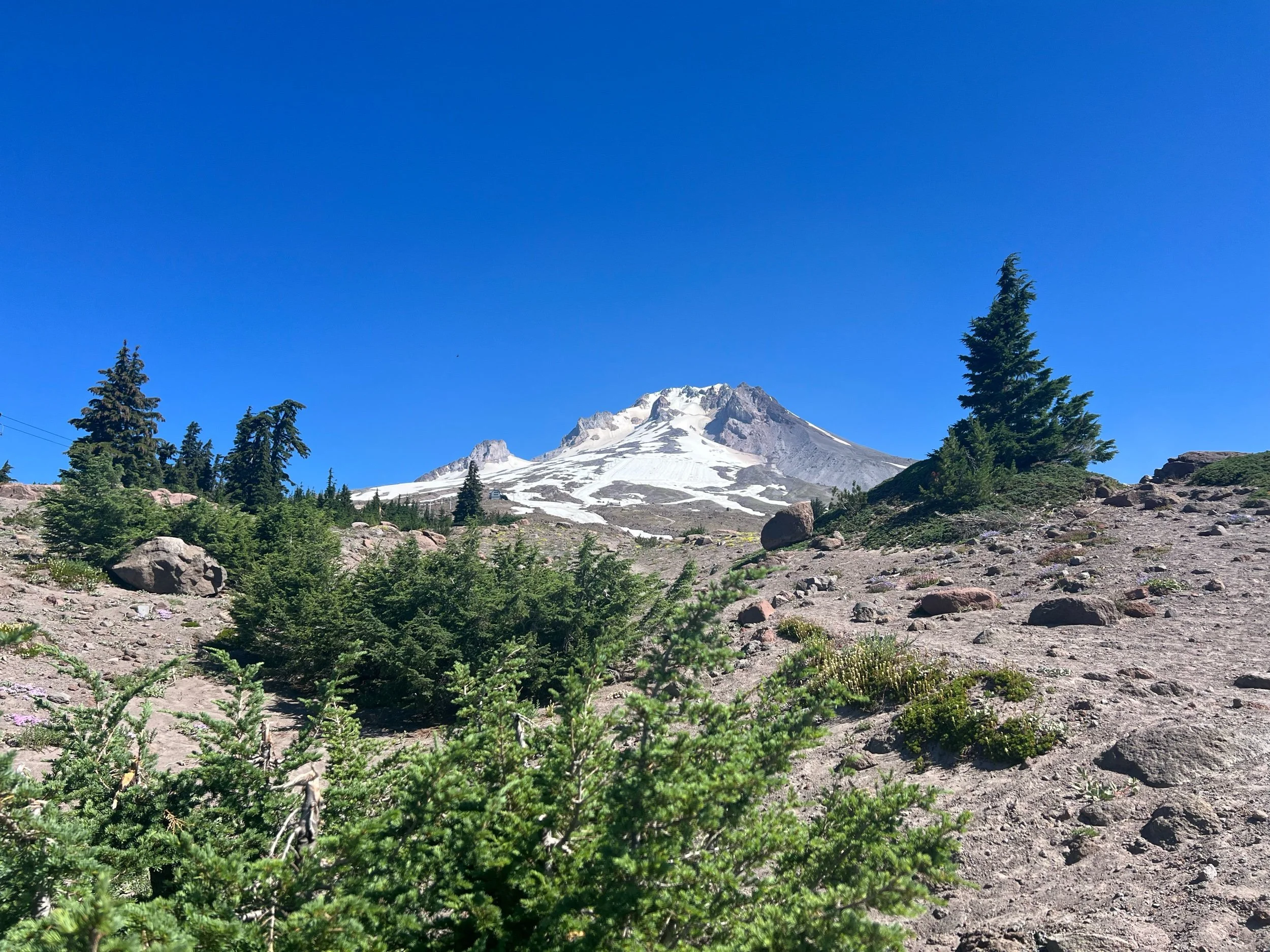
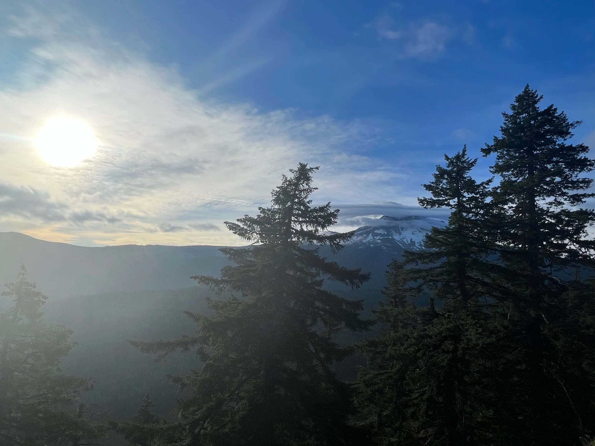
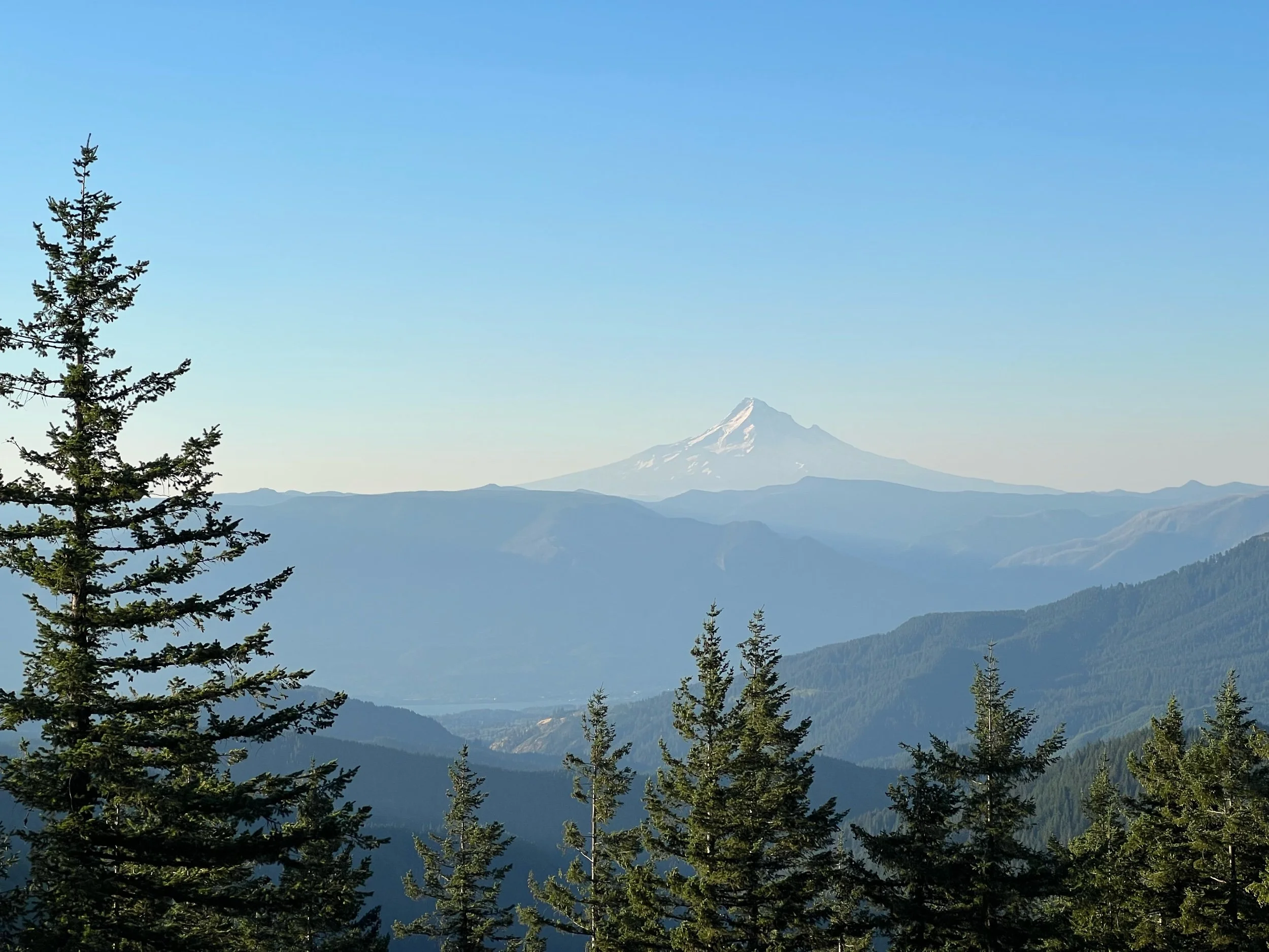
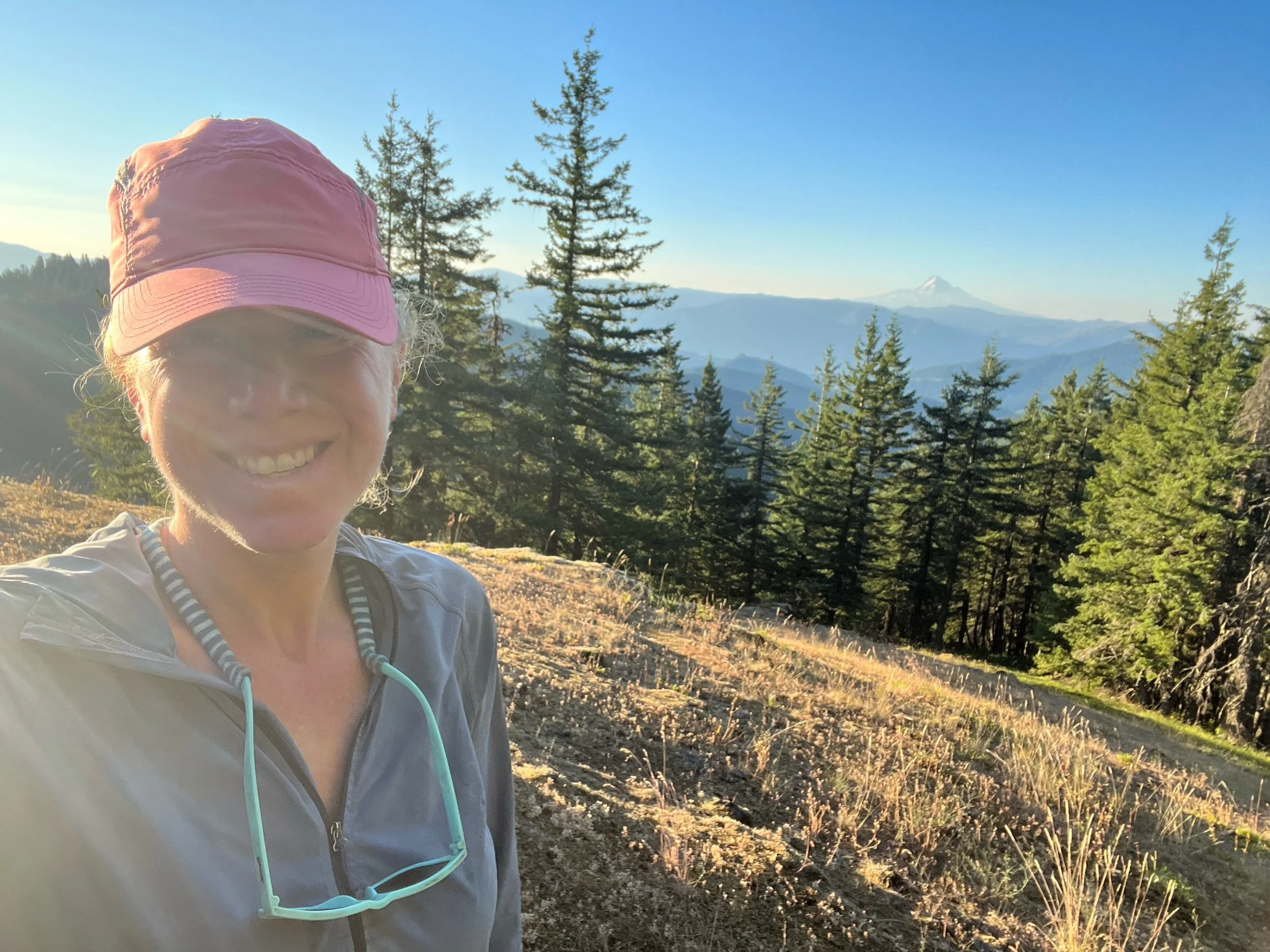
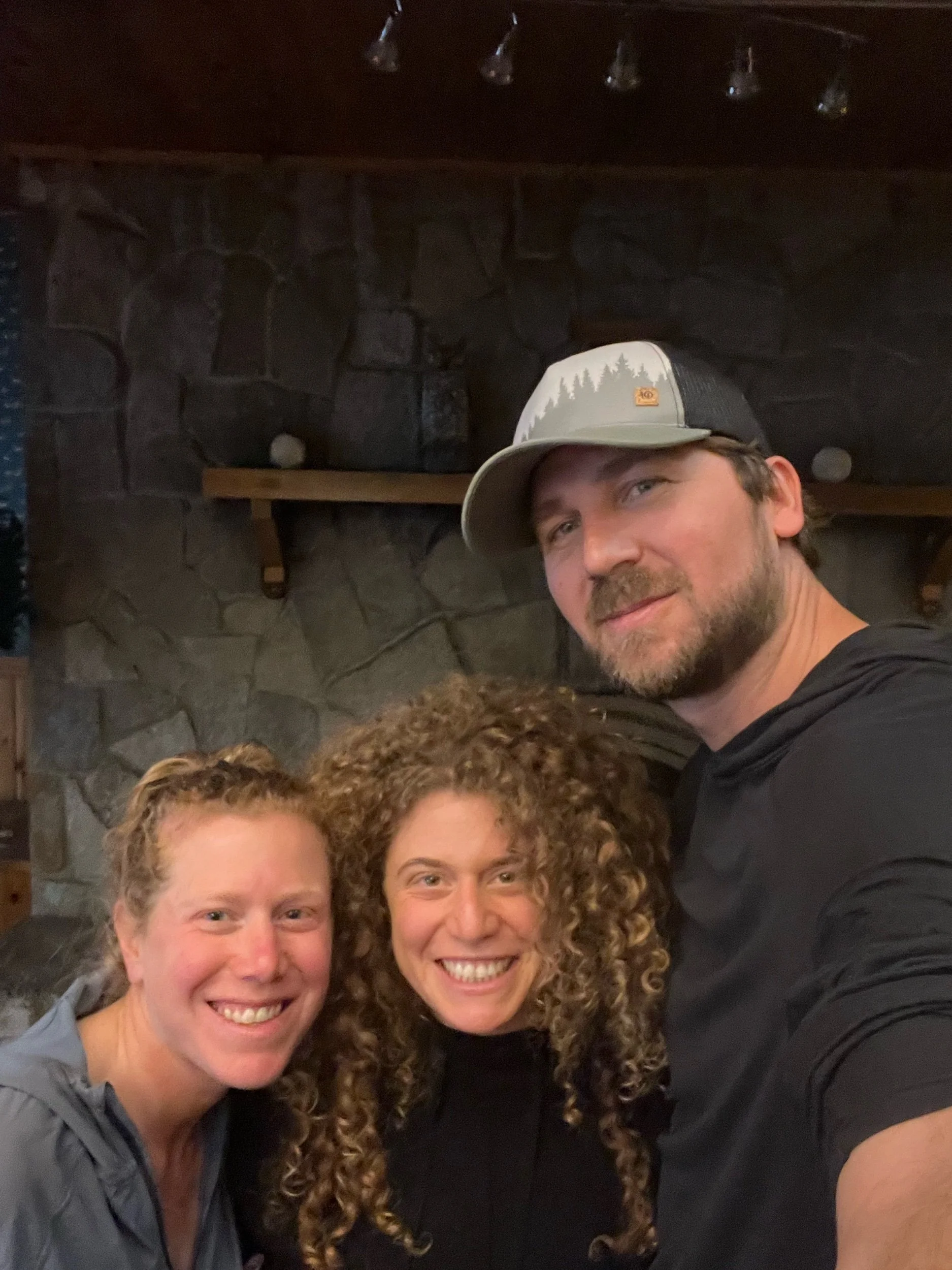
The next day, our last on trail, the sky was clear and Mount Hood came into view. As I got closer and closer to Timberline, I walked slower and slower. But eventually, it was time to finish. As I walked down the path to Timberline, I found my friends, who were cheering me on, as I took my last steps of the PCT.
Perhaps after I’ve had some time to reintegrate into the non-trail world, I’ll have some words of wisdom or insights into the puzzle of life. But, for now, that’s it from the PCT. Lots of love and thank you for following along.
Fires, Fires, Everywhere
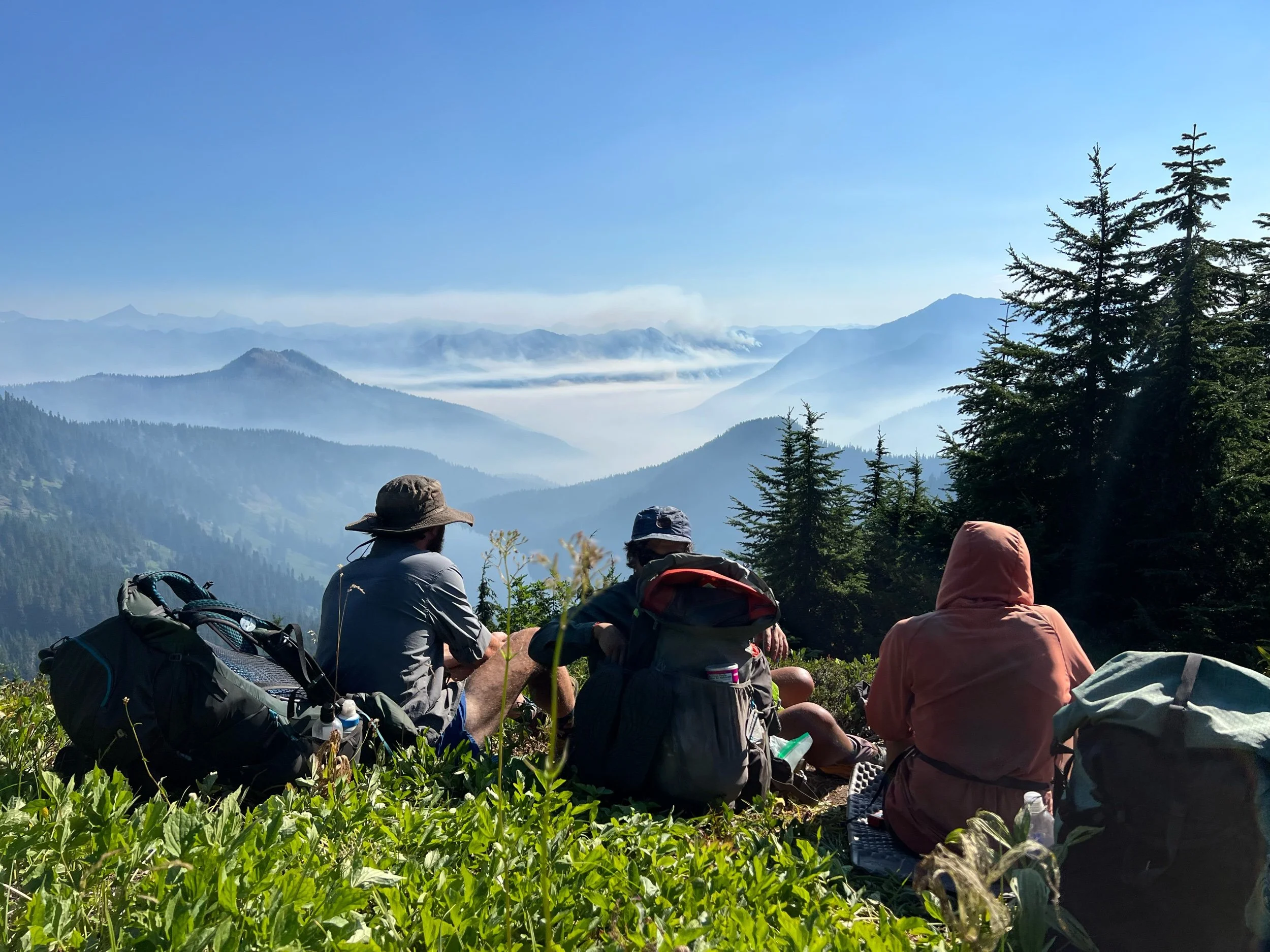
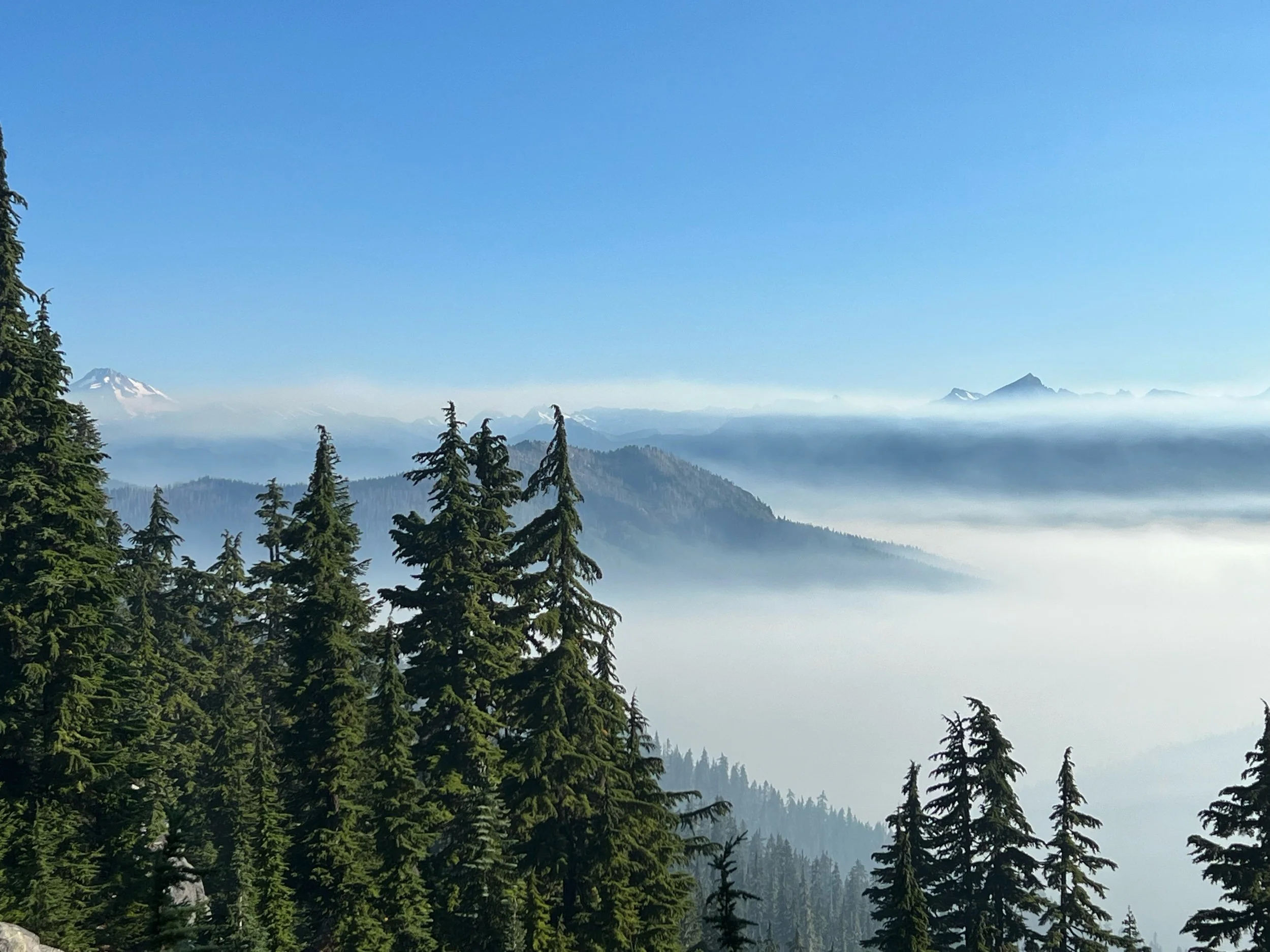
I’m currently writing from Etna, CA. Yes, I’m back in California. More on that later. Since my last post, it’s been an utterly exhausting couple of weeks, but I did a thing: I finished a state! Washington! And just in the nick of time. They closed the final miles of the PCT due to wildfires the day after I reached the Northern Terminus and the Canadian border. My memory of the second half of Washington is hazy, due to mental and physical fatigue, but also due to the literal haze of smoke that filled the air as we got closer to the border. I’ll try to recount the highlights and lowlights, but hopefully with sensitivity to the many who just missed reaching the border, having been turned away by US Forest Service personnel on account of the growing fires surrounding the trail’s end.
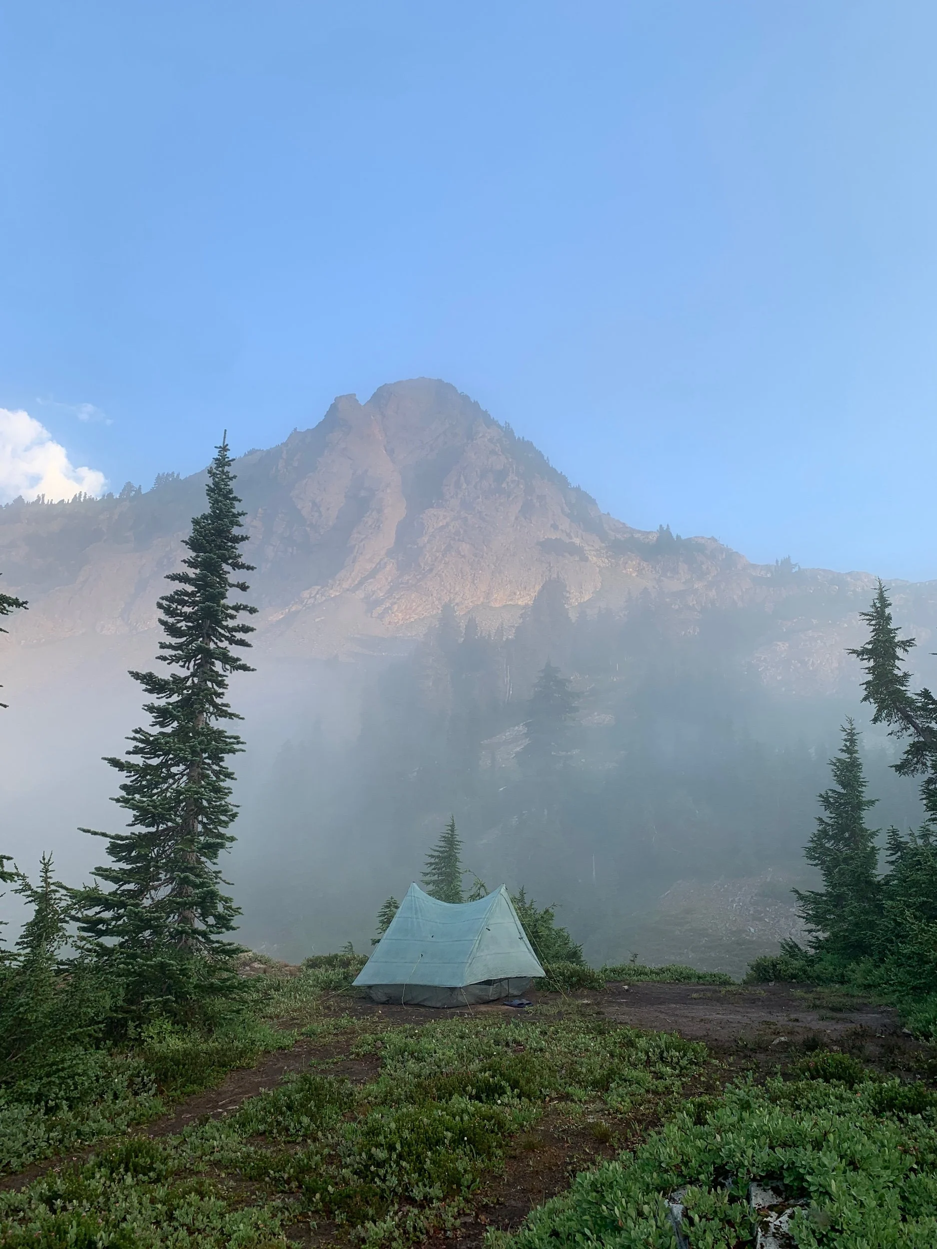
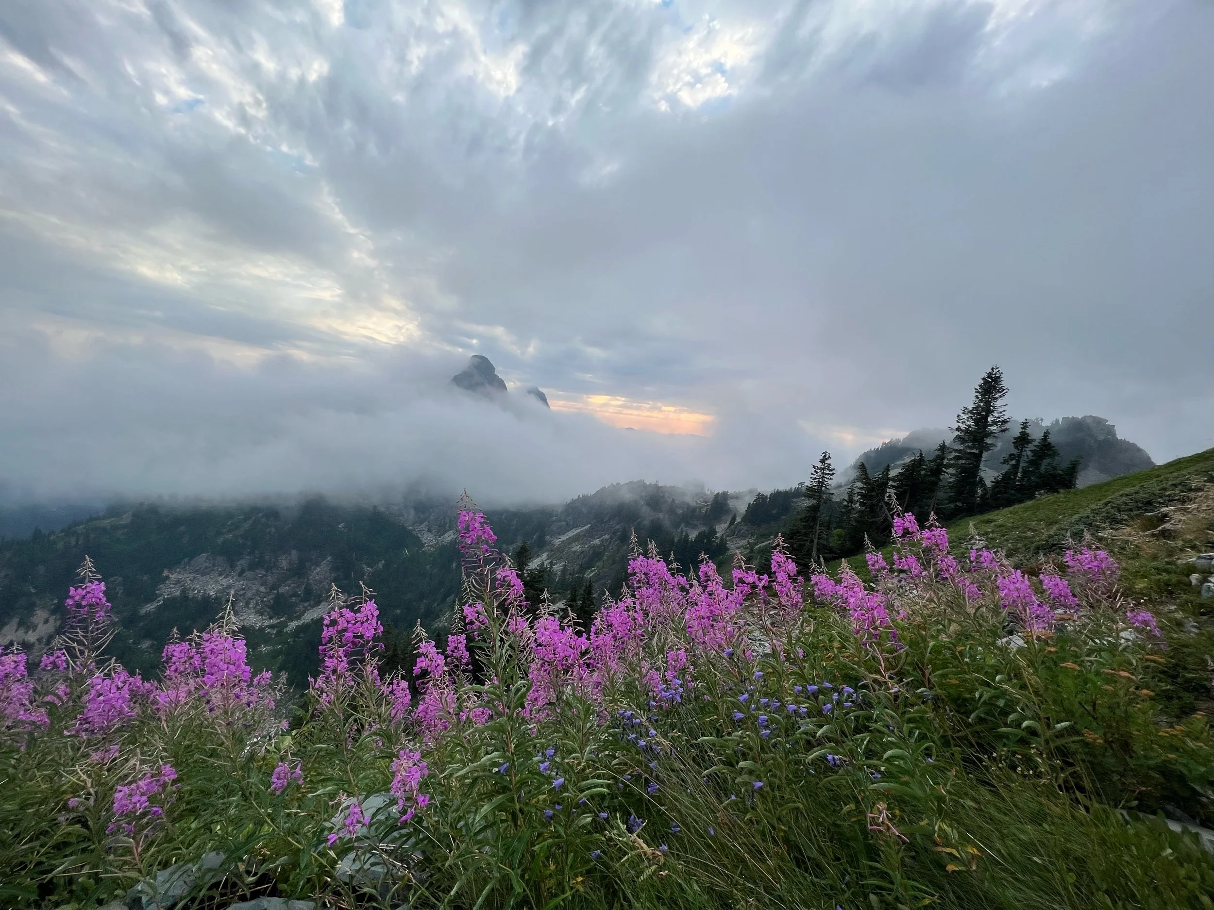
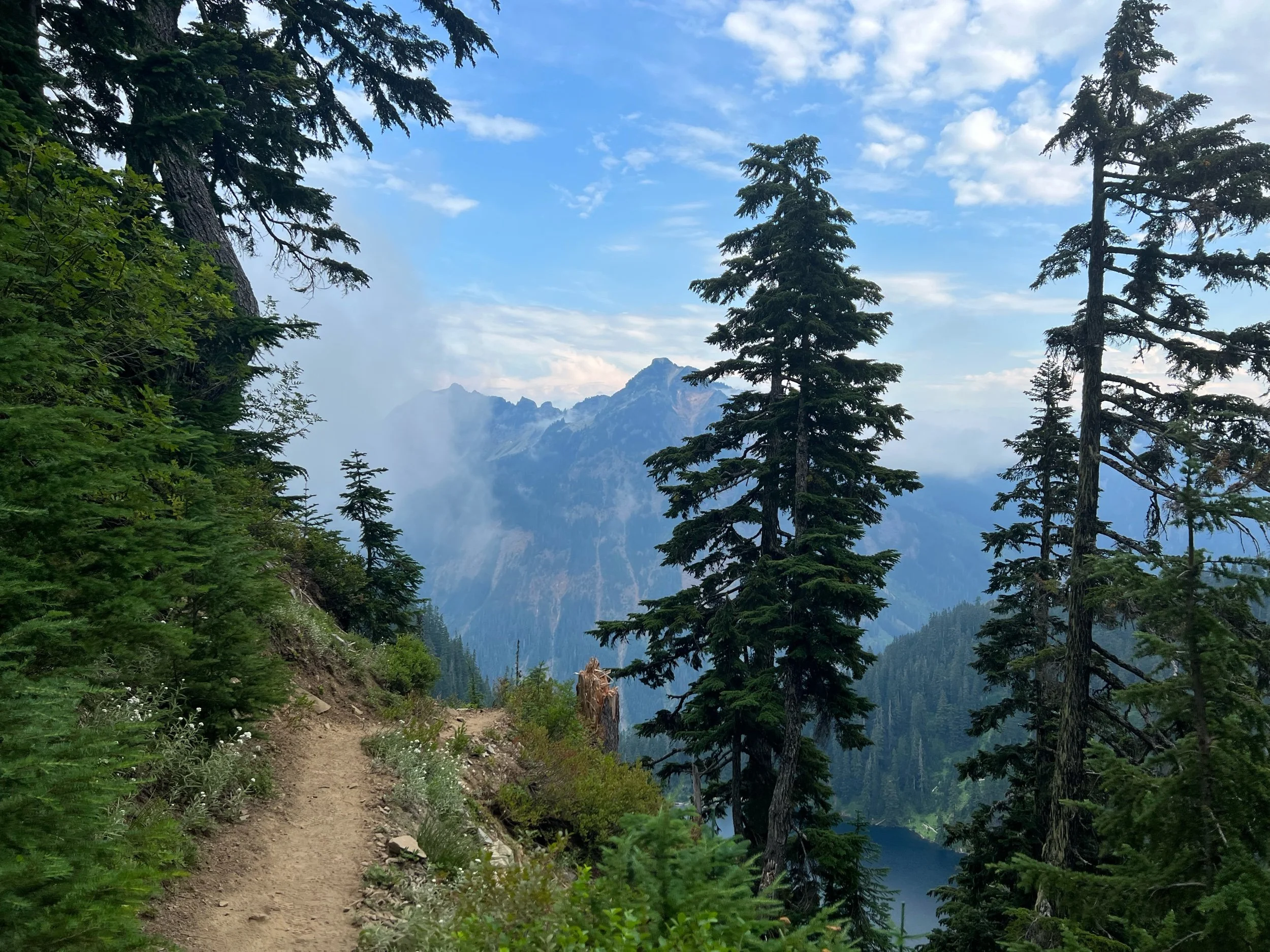
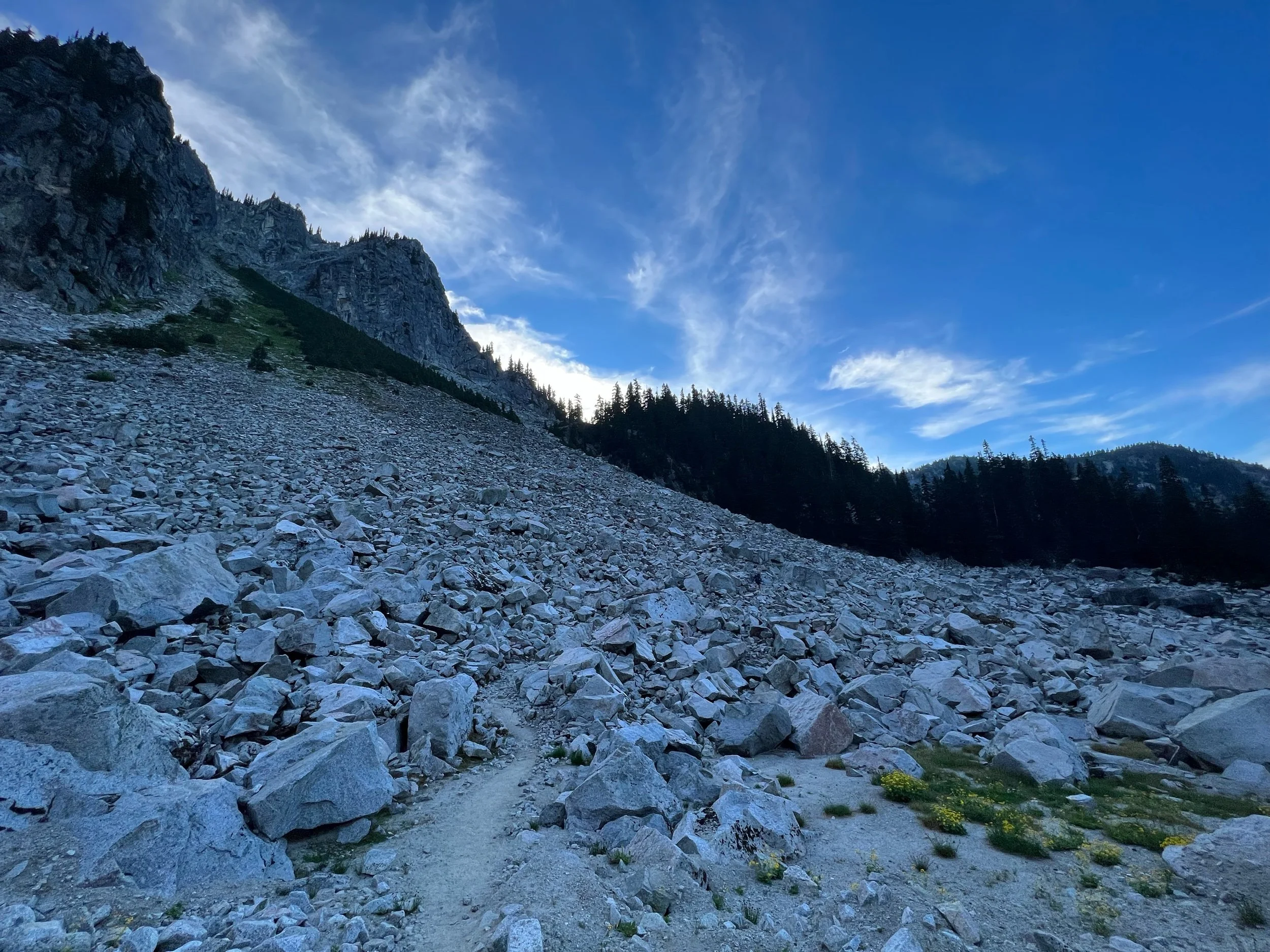
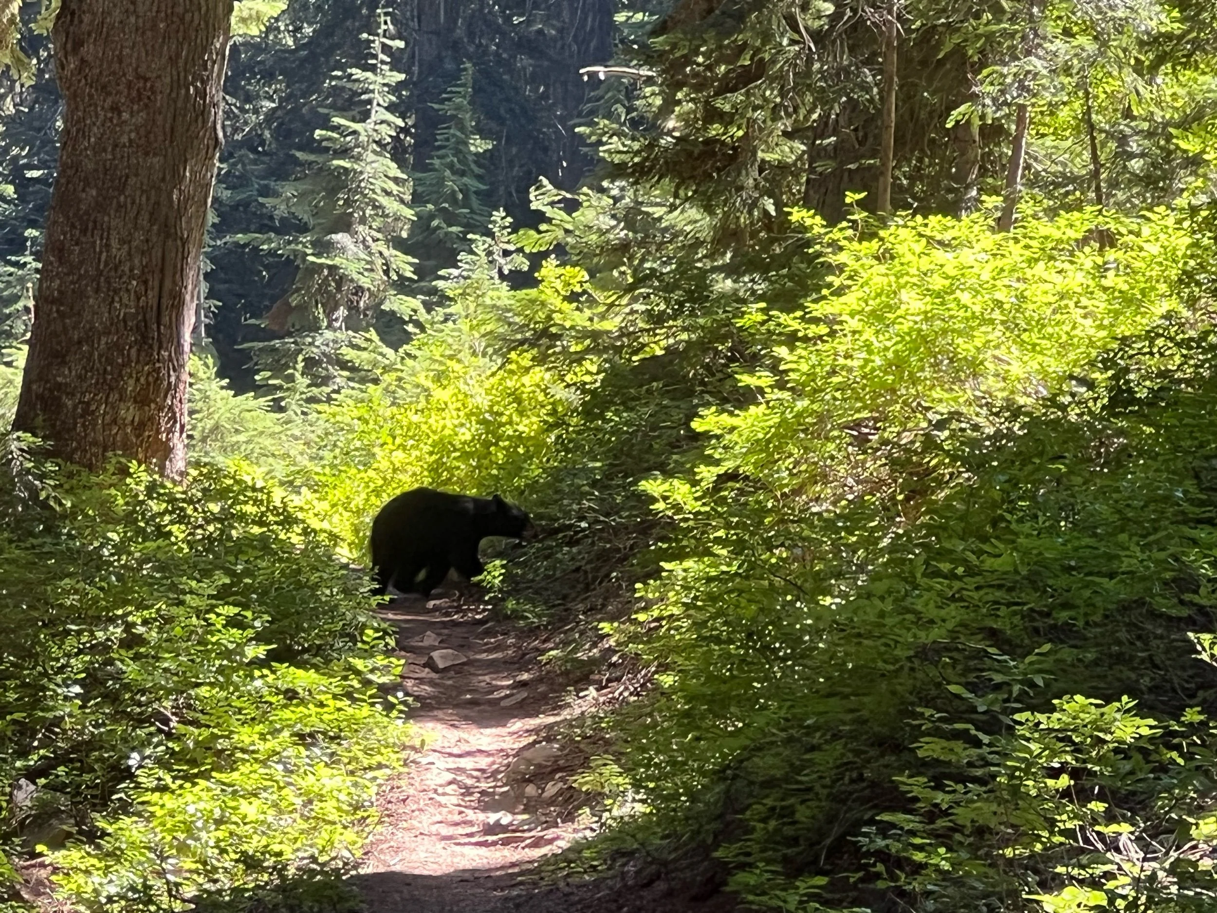
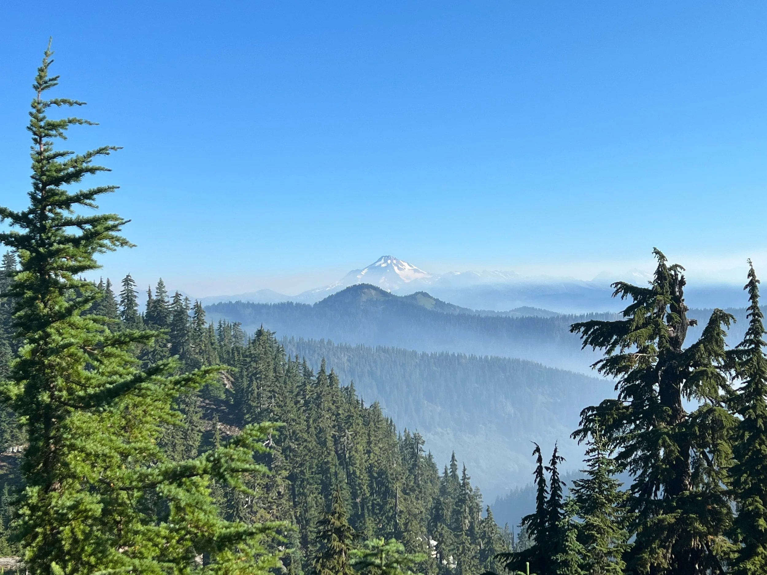
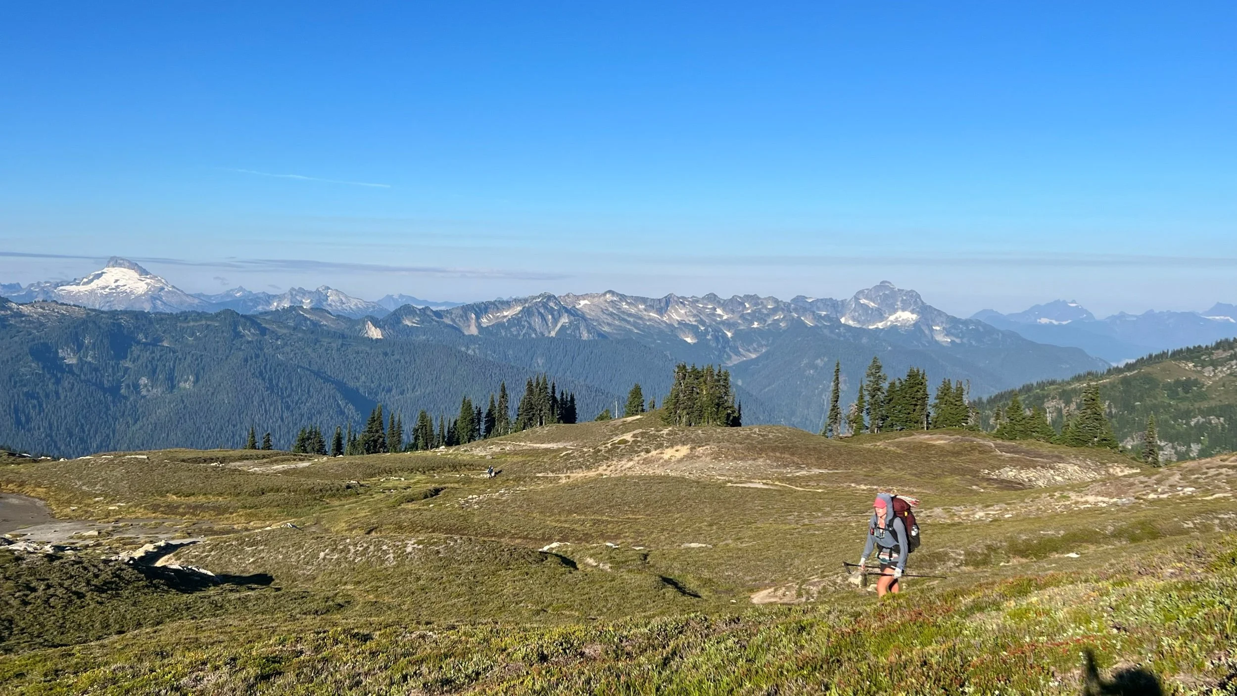
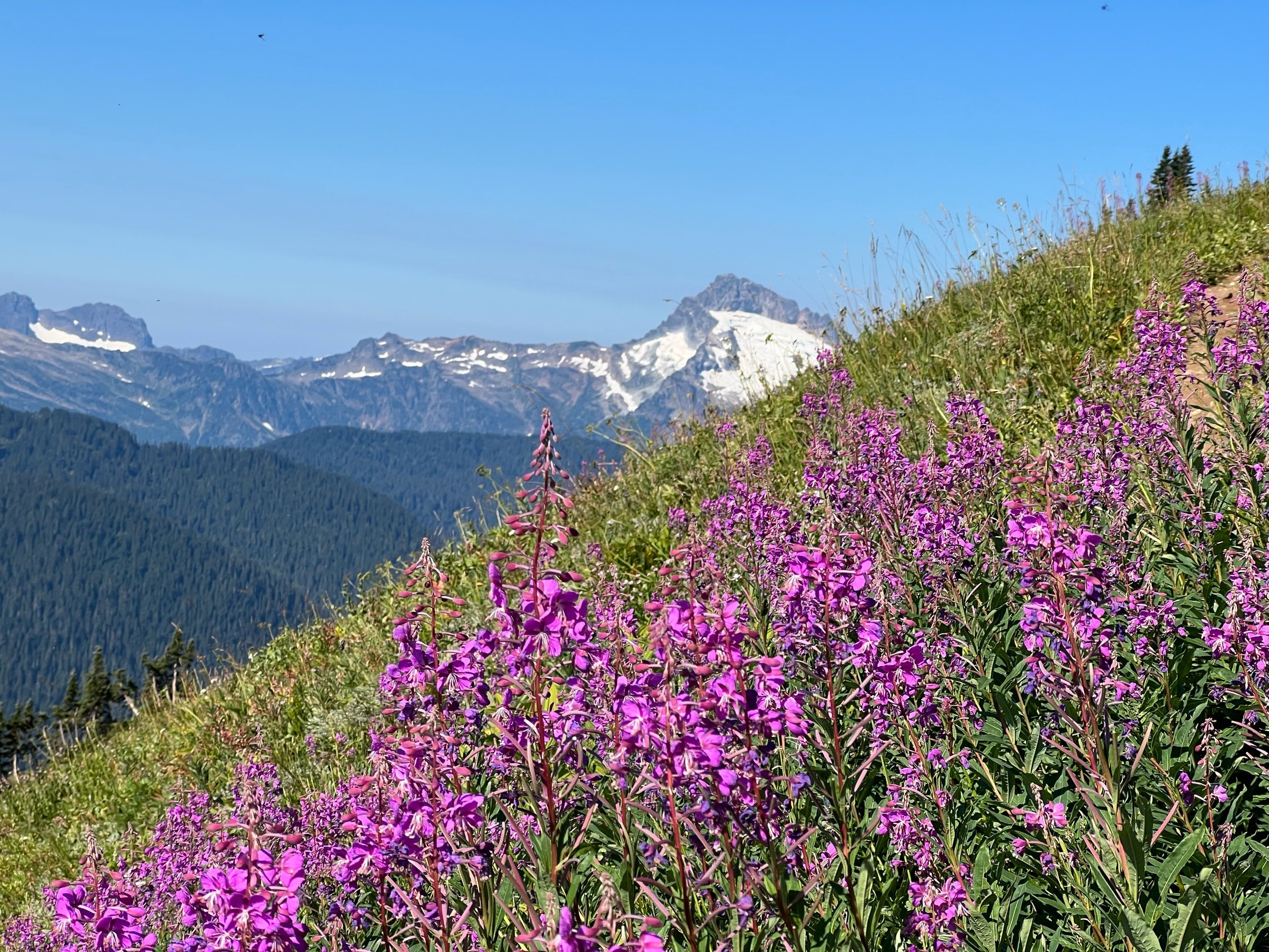
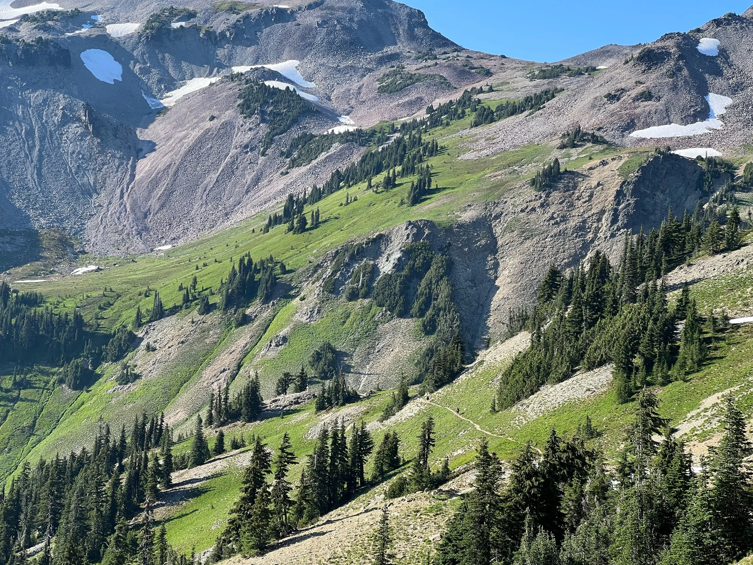
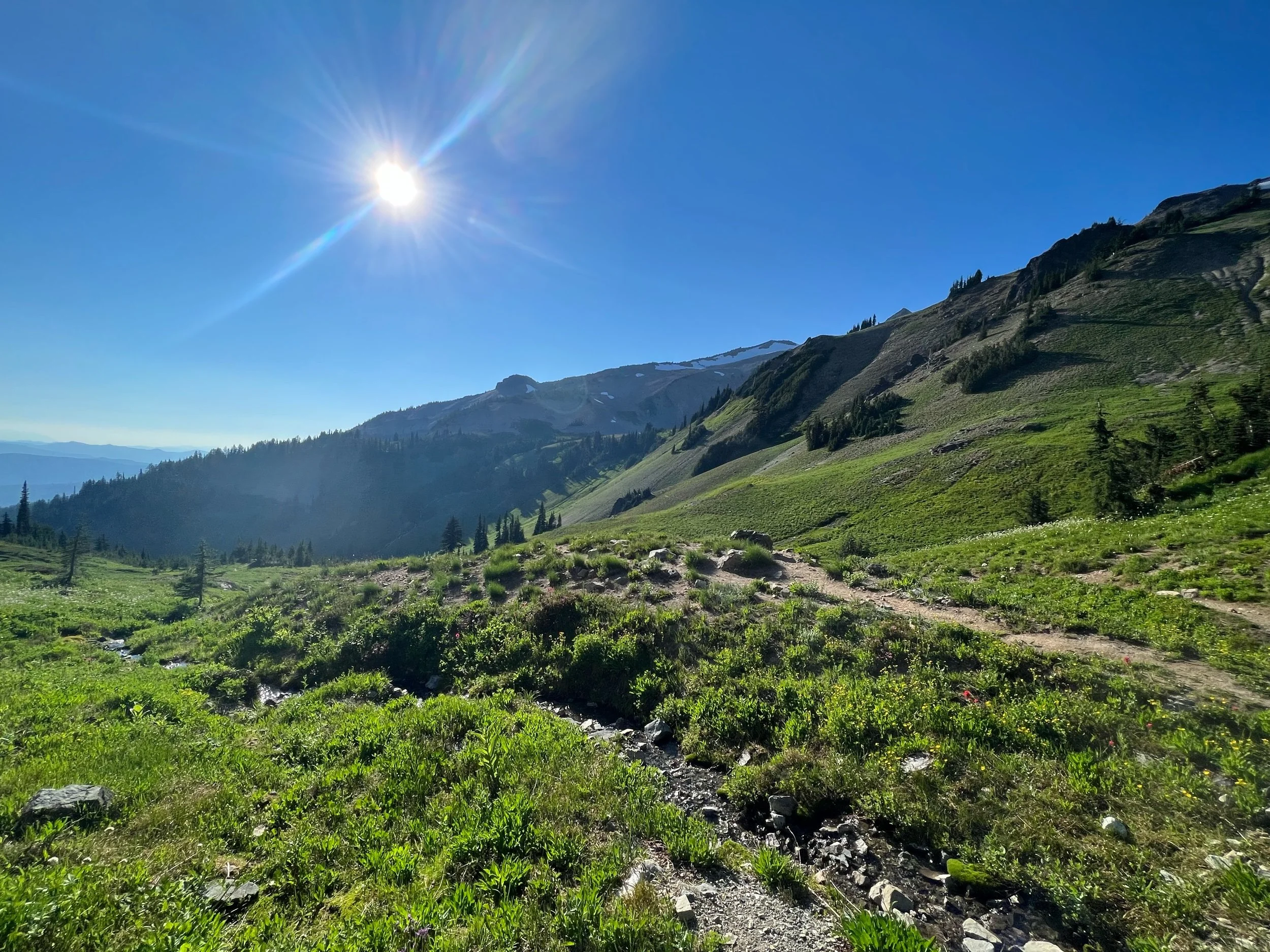
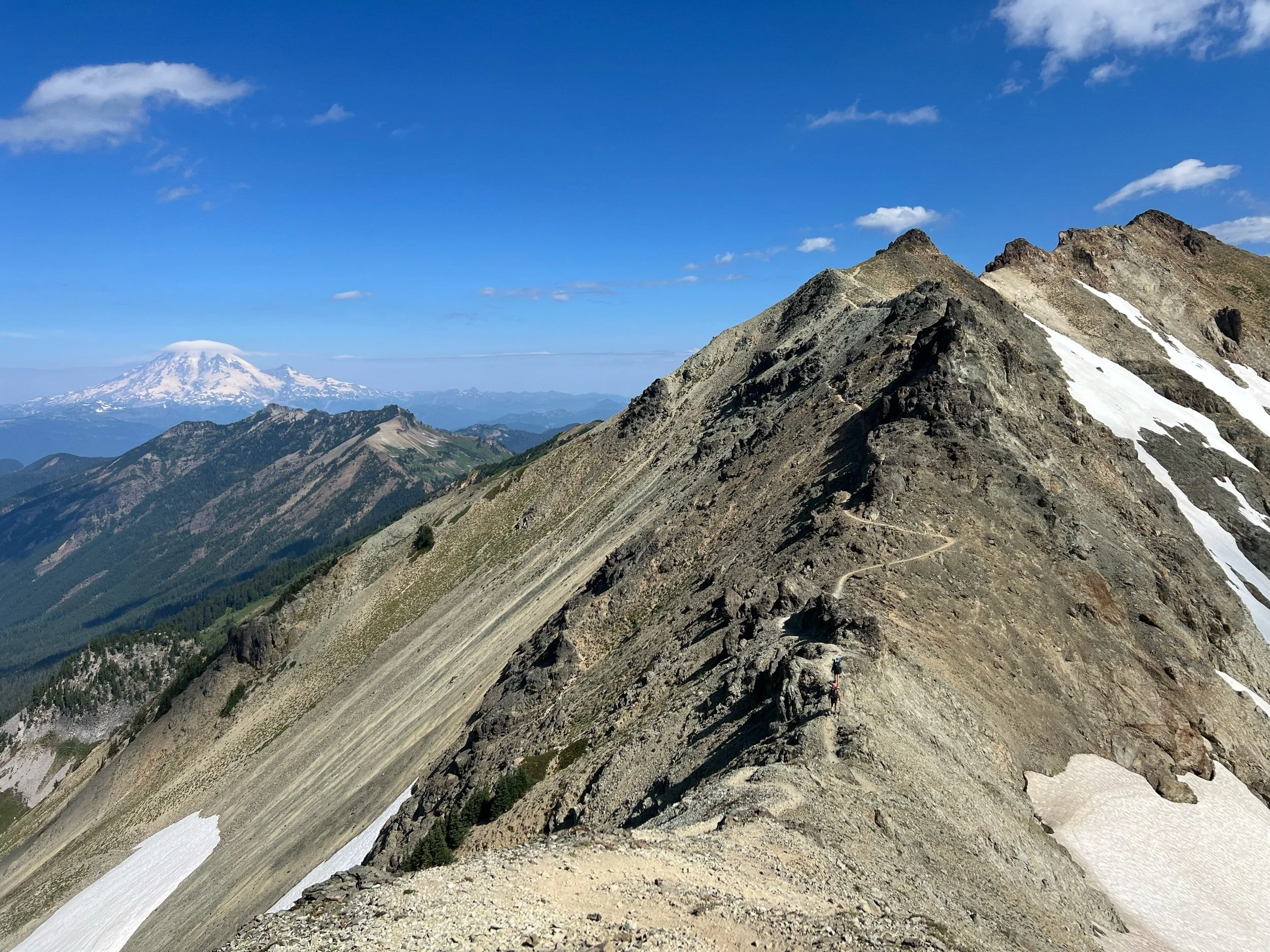
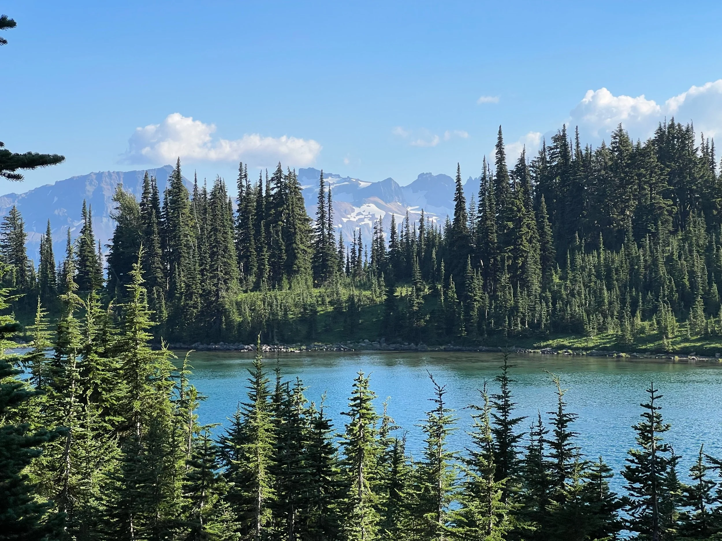
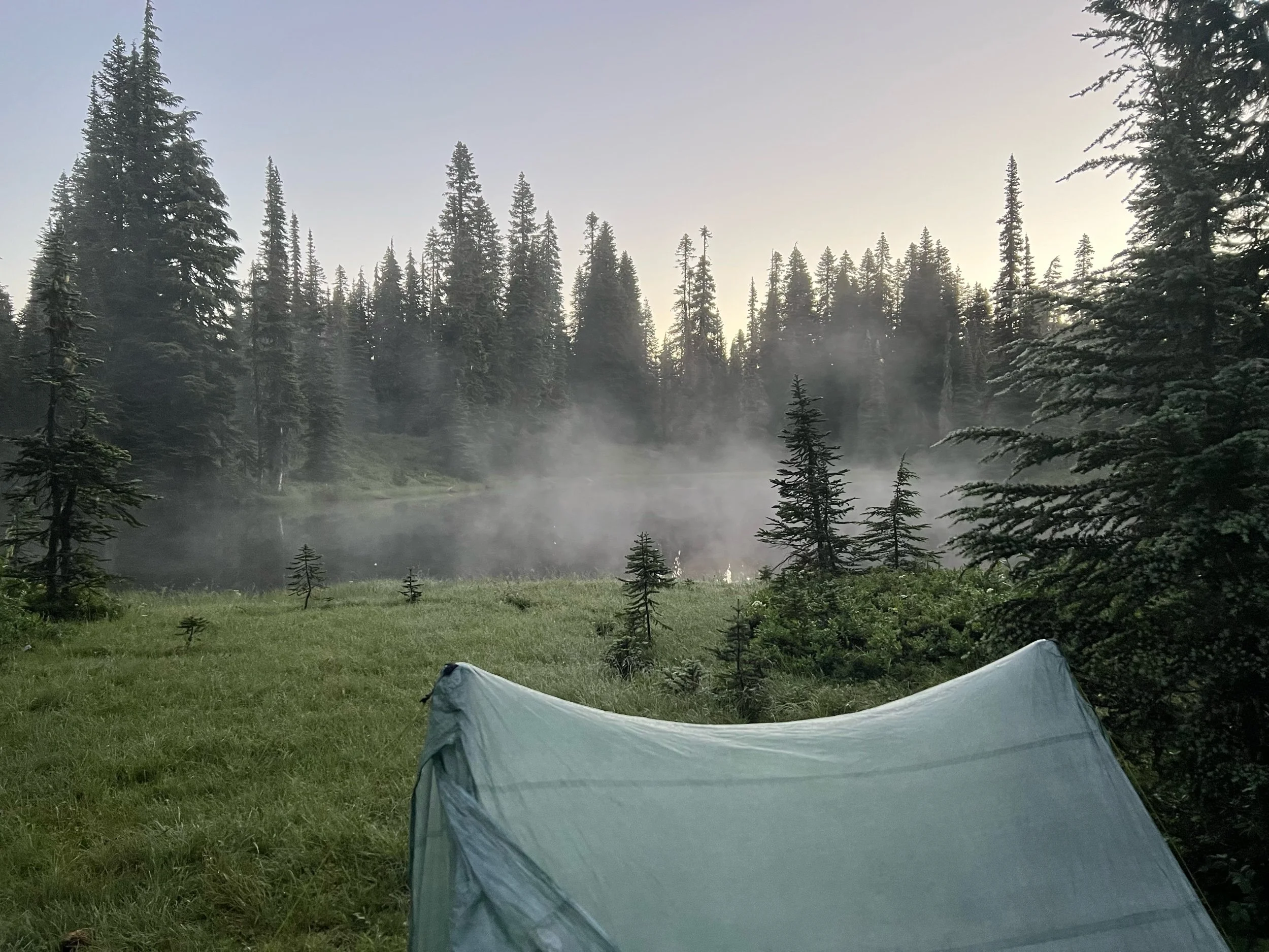
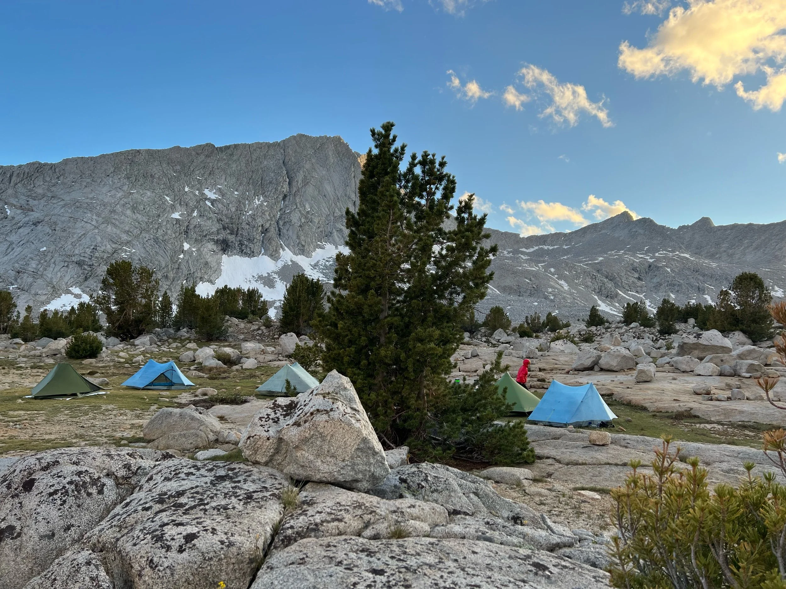
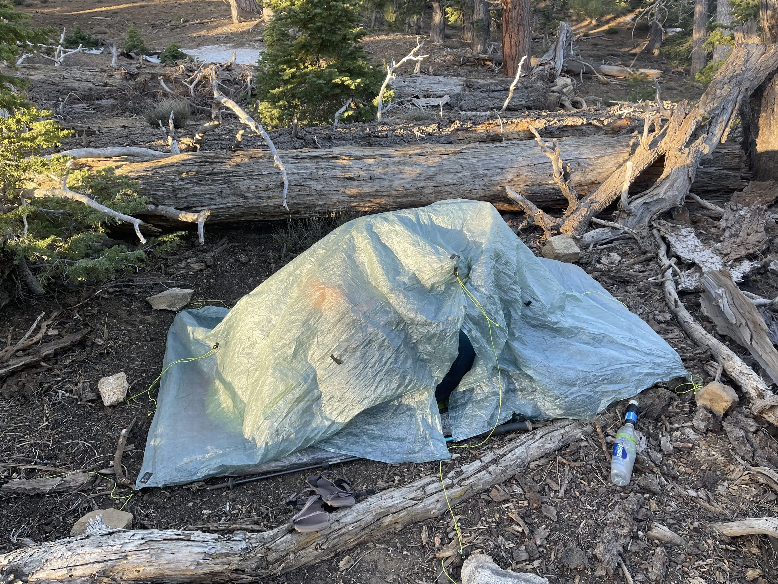
We left Snoqualmie Pass (mile 2394.1) on August 19. It’s now September 10 and nearly 400 miles later, so that section feels like a lifetime ago. I honestly can’t remember many details of the section, except from the photographs that jog my memory. The highlights include my first bear sighting and beautiful sunrises and sunsets over mountain vistas. During this section, I listened to Butcher’s Crossing, a book recommended by my friend, Caveman. (I met Caveman early on the trail, but he’s been hiking with us since Washington.) It’s a book about self-discovery and the American West. In any event, the protagonist describes the feeling in his legs as nearly numb, but not numb enough not to feel the pain. It is the most apt description of how my feet currently feel and how they felt throughout the section. My feet tingle and lack feeling, but they simultaneously throb, particularly at the end of the day, at night, and when I wake up. But somehow, they continue to carry me through, including Washington’s never-ending 2-3 thousand-foot ascents and descents and rocky and rooty terrain. Thankfully, the payment in pain is worth it, as the payoff is views such as the ones pictured below. Notably, I have almost no photos of myself or others during this section. So, mountain landscapes, my tent, and a bear will have to do.
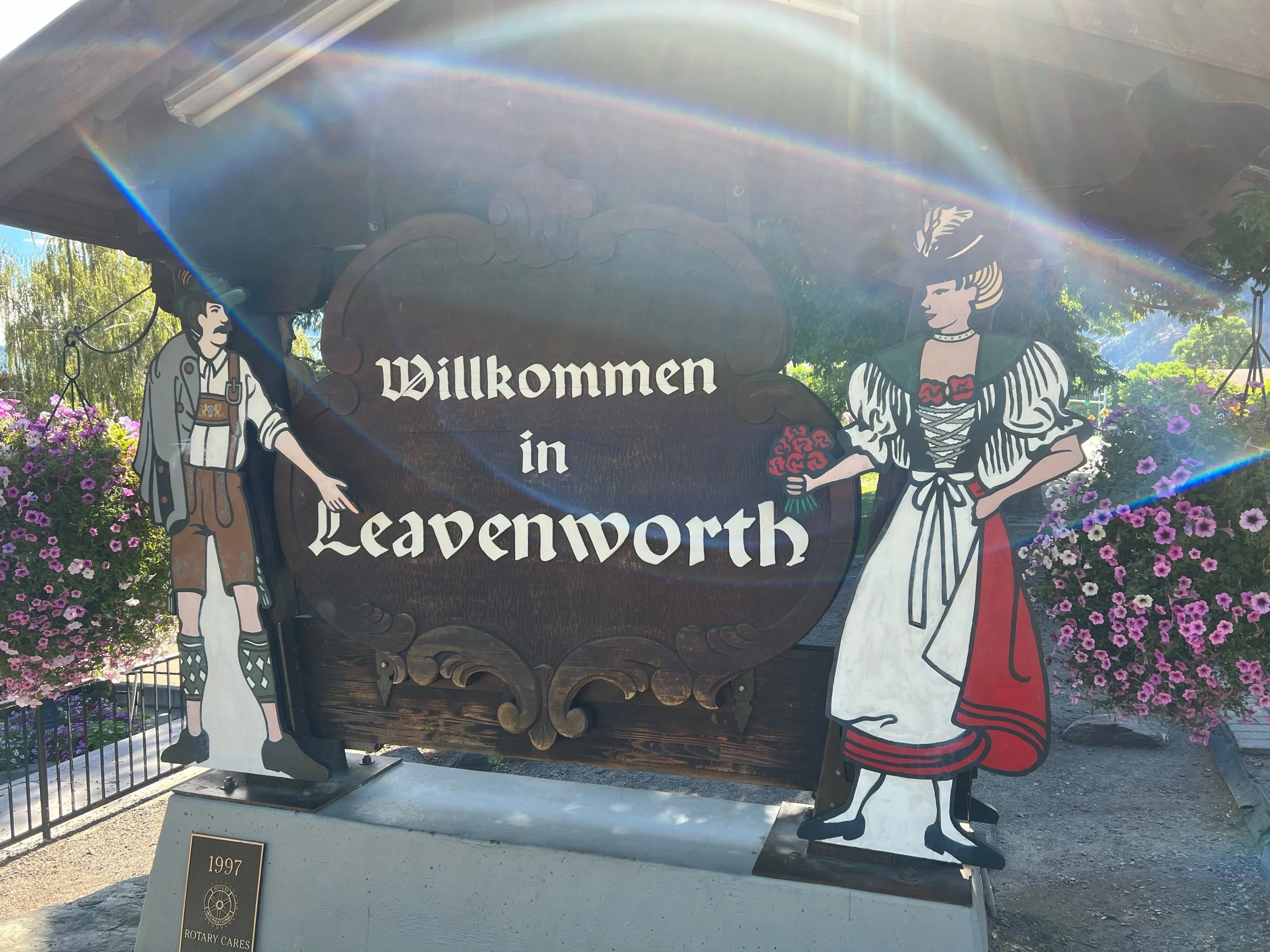
On August 22, we reached Steven’s Pass, a ski resort at mile 2465.2. We decided to spend the night in Leavenworth, WA, a town about 20 miles away. Leavenworth is a town that is straight out of Epcot or Bavaria, depending on your perspective. Everything in the town is Bavarian, from the food, to the building style, to the sign lettering, to the music playing in the town square. But, we were thankful for the bed, as it would be our last for at least a couple of weeks. We considered spending two nights, but we had a flight to catch on September 4, as Illy, Squeezy, Caveman and I had planned to return to the sections in California and Oregon that we had missed. We all desperately wanted to stay in the comfortable beds at the Bavarian Lodge forever, but we dug deep and left town on August 23 to hike Section K of Washington, definitely the hardest section in Washington and considered by some to be the hardest section on the trail.
Section K, from Steven’s Pass, to Stehekin (mile 2465.2, to mile 2572.9) lived up to the hype. This was the hardest section for me physically, for sure. But it tested me mentally more than any other part of the trail. It was the first time I considered finishing the trail when we completed Washington and not going back to the missed sections. It wore me out and it felt like it should have been the end, likely due to its proximity to the actual end of the trail. My body didn’t want to be hiking anymore. I had hiked about 2,000 miles at this point and I didn’t know if I had it me to go backwards to hike another 580 miles. Rather than my body acquiescing to my brain’s insanity as it previously had, my brain started to acquiesce to my body’s pains and lose its focus and enjoyment. I was hiking to get the miles done, rather than appreciate what was in front of me. My mind started to drift not only to a consistent bed and shower, but also to my life post-trail. I sorely missed my family and friends, too. I didn’t come up with any magical solutions to overcome my malaise and physical and mental exhaustion, but I took each day as it came, telling myself I would assess how I felt after Washington. I also tried to remember that I would miss this when I was done, taking in the beauty and simplicity of my surroundings. Lastly, and thanks to a recommendation from Squeezy, I listened to Go the Distance, a song from the movie, Hercules, on repeat to give me a boost, particularly as I was nearing the end of each day (Michael Bolton also has a great version.). Perhaps some folks at Disney were thru-hikers, as this is the chorus:
I am on my way
I can go the distance
I don't care how far
Somehow I'll be strong
I know every mile
Will be worth my while
I would go most anywhere
to find where I belong
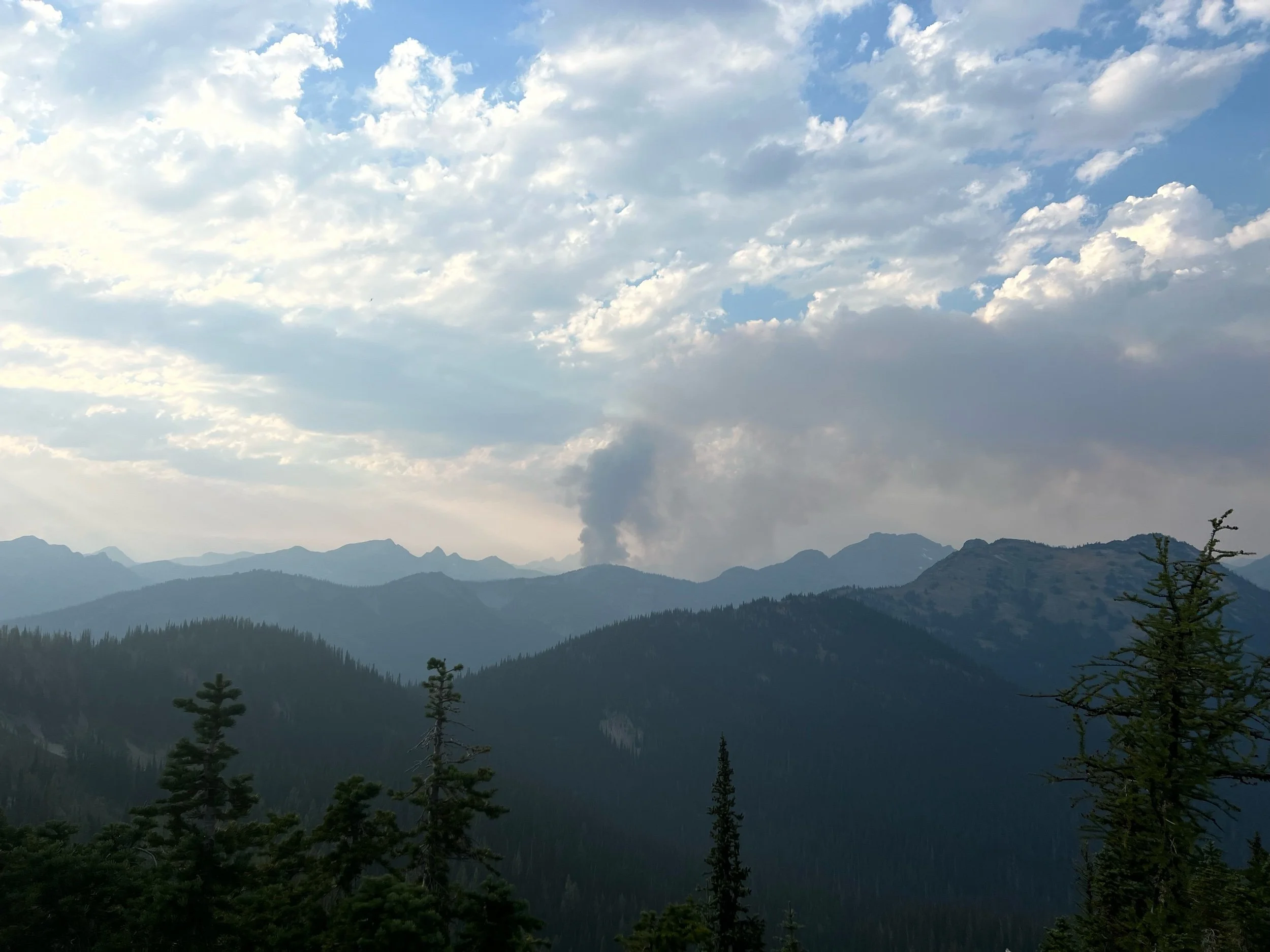
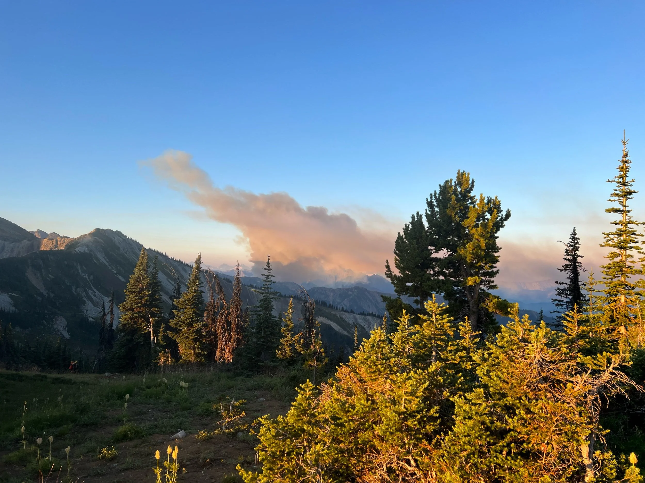
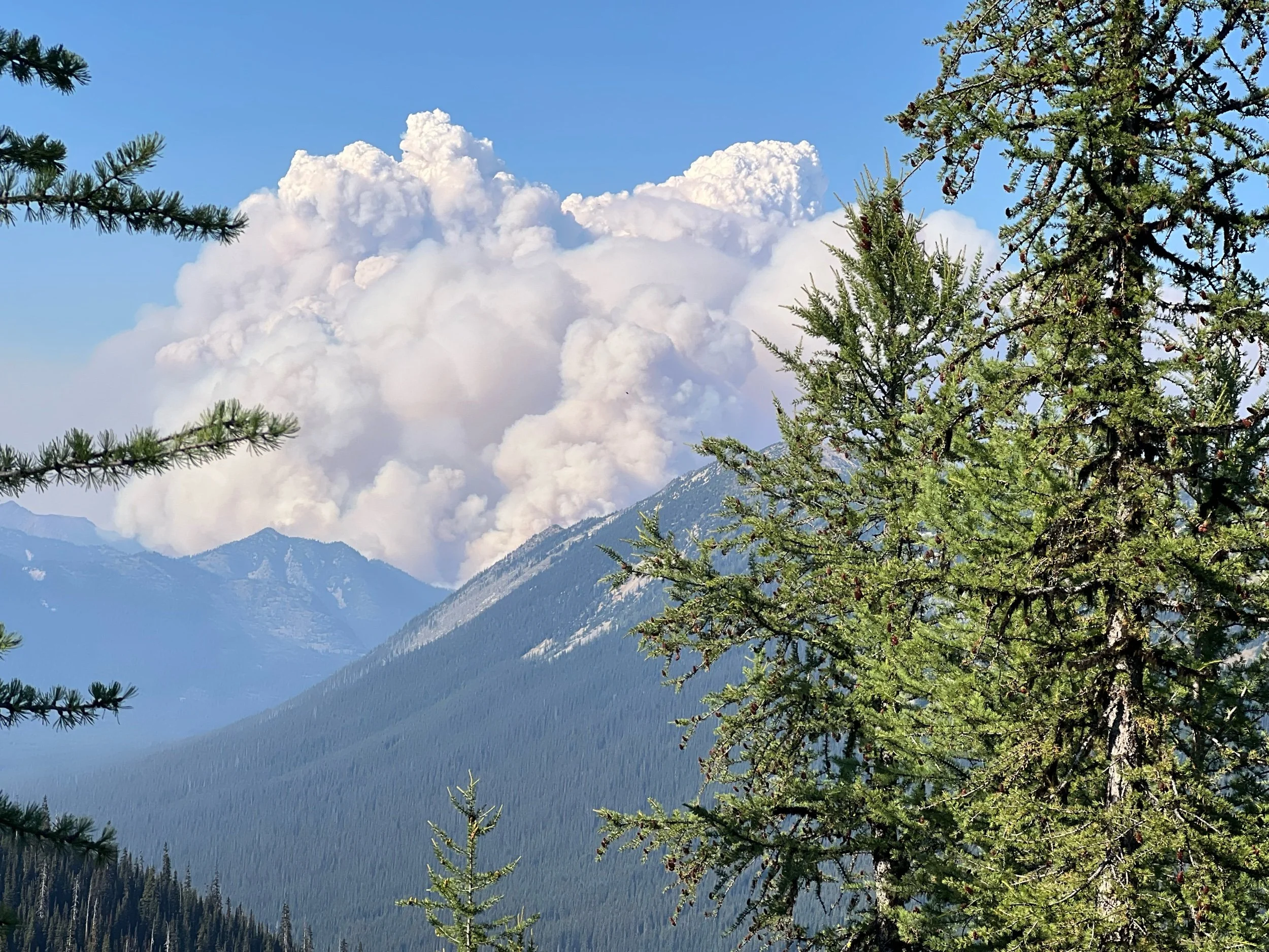
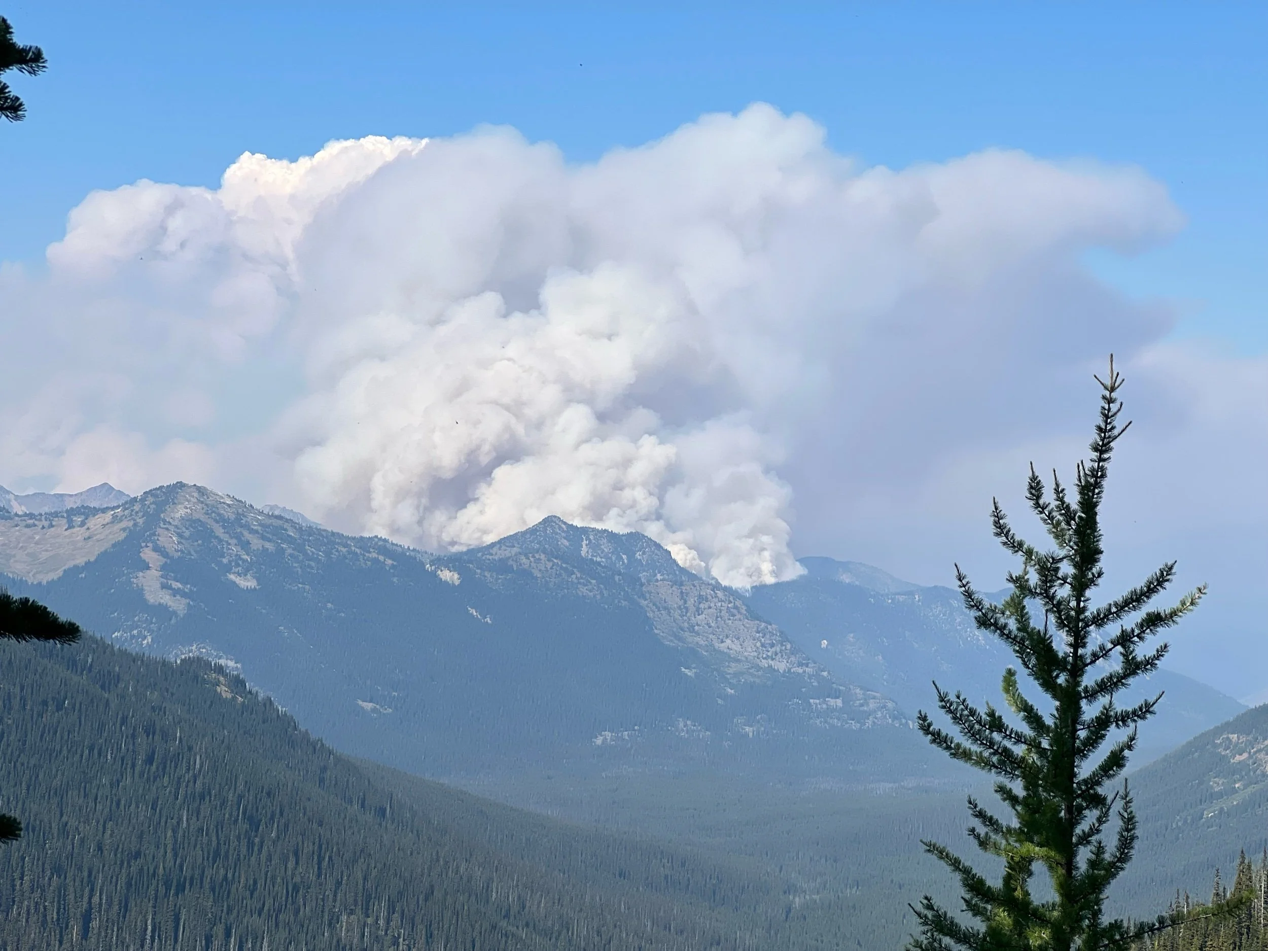
While the scenery was undeniably beautiful, my faltering mental state was exacerbated by the fires that seemed to be popping up everywhere around us. In the middle of our first night on trail after leaving Steven’s Pass, I woke up to the smell of smoke and we saw ash had fallen on our tents. We hiked for a couple of hours, having reached a ridge where we could see smoke from fires in the not-so-far distance. Star Camel sent a satellite text to his mom, who contacted the Forest Service, who told her that the PCT was still safe to hike. So we kept hiking.
The actual, physical act of hiking didn’t help my mental state, either. It made my body hurt more, as I could feel my toes gripping the rooty and and rocky trail with each step. Each day, we’d go up a few thousand feet, just to go back down. And then we’d go back up and go back down, traversing multiple mountains a day. Over and over. On August 25, after an already arduous day, we reached a river around 4:30 with gushing, opaque water. There didn’t appear to be any safe spot to cross, except for walking along a skinny log, then hopping to a large boulder to make it to the other side. Illy and Renee didn’t trust themselves on the log so they tried to find a place to ford the river, but the water was too high and too strong, without any visibility as to the depth. For better or worse, we went for the log route. It was terrifying, as I knew I’d severely hurt myself if I fell. With my heart racing, I made it across. Illy and Renee followed. And, Caveman (pictured below) made it across before thinking about the consequences of falling (likely, the best way to cross). With all of us across the river, mentally and physically drained, we then had to climb a few thousand feet to make it to our campsite, at Fire Creek. The sunset below is of the final climb of the day, about a mile from camp. I took a minute to take it in.
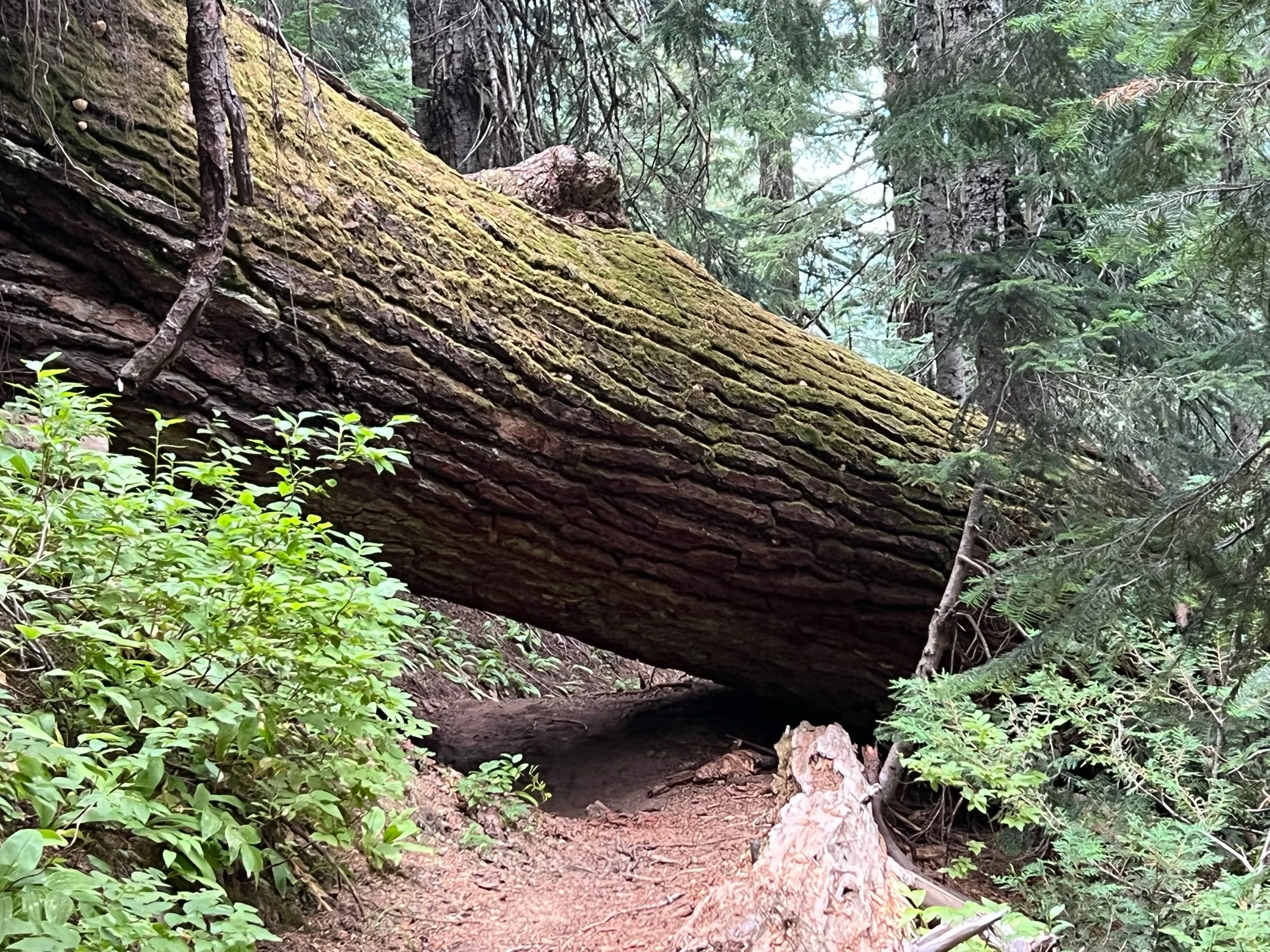
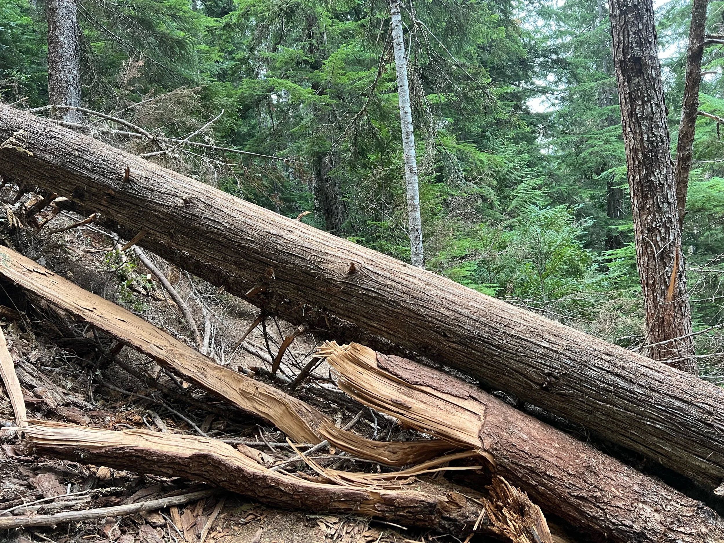
The next day, despite the previous day’s difficulty, we had multiple passes to climb. Finally, we saw a downhill on the map all the way to camp that looked gradual and easy. But, rather than a respite, this long downhill was not maintained, with portions of the trail washed out and dozens of downed large trees blocking the trail. For each downed tree, I had to either climb over them, squeeze below, or hike down or up to get around them. Doing this without a pack wouldn’t have been easy, but trying to do it with nearly 30 pounds on my back made each climb over a tree a test of my knees’ will. Everything hurt. I was hiking by myself this day, so I don’t have any photos of me going over such trees to provide a sense of scale. But, I did fall twice this day, including sliding down about 10 feet of a side of a mountain trying to get around one. Thankfully, I wasn’t hurt. I just cursed each fallen tree, literally yelling out loud “You’ve gotta be $&*@ kidding me!” and various other expletives, as I approached yet another tree. I didn’t get to camp that night until about 8:30 pm, worn out and exhausted, only to have to hike two more days, to Stehekin, where no bed was awaiting us.
In spite of the physical and mental hurdles of this section, there were many stunning sights to behold in this remote corner of Washington. It was a breathtaking stretch of trail, when I took a moment to look up and take in the wilderness around me. It felt special to see these mountains, as they aren’t easy to reach, but worth the trek it takes to get there.
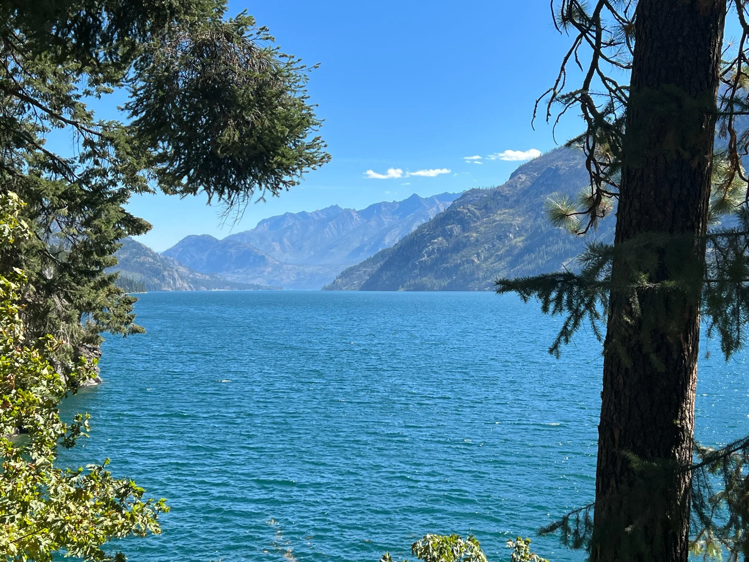
On August 28, we made it to Stehekin, a town with a population of 75 that can only be accessed by walking or by boat and sits on Lake Chelan. Stehekin has a post office, a general store, and a bakery. If you want internet, you need to buy it at the general store right when it opens because they only sell 30 access codes a day. The post office’s busiest months are August and September, as PCT hikers, including myself, send themselves resupply boxes for the final stretch. The post office stores the boxes in a shed nearby. I retrieved mine, only to find it splatted with what appeared to be blood. The postmaster told me a chipmunk got in, was killed by a trap, and its remains splattered across a number of packages. He offered me some hand sanitizer.
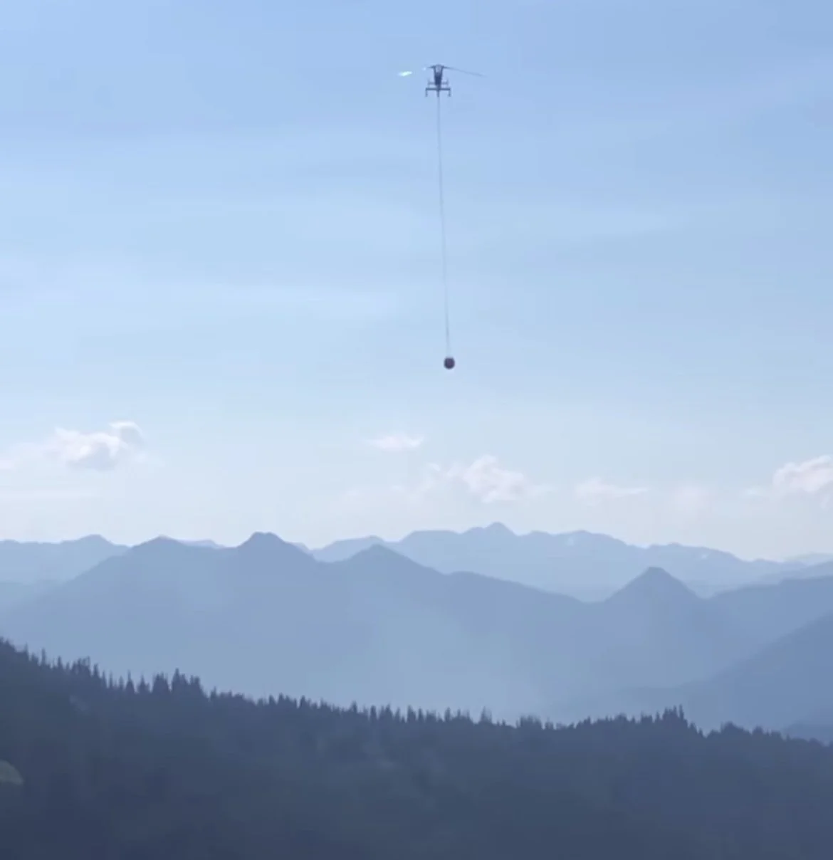
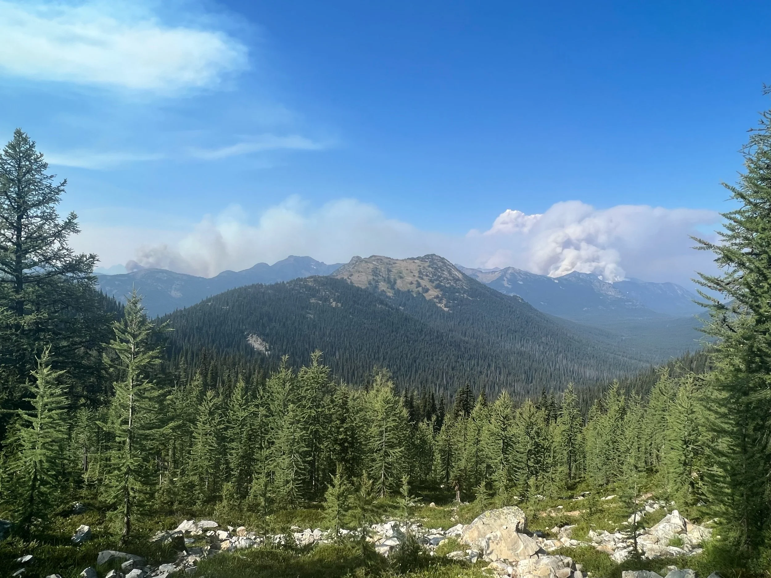
On August 29, we left for our final section of Washington, the most remote section of the trail. As we hiked, we saw more and more fires, with planes flying overhead dragging large parachutes of water that they’d pour over the fires. We ran into Forest Service rangers walking the trail, who told us the fires were contained and the winds were favorable, so the trail was still safe to hike. Despite the assurances, I started to feel that finishing Washington was in peril, as fires were popping up everywhere. I knew in my gut that it was just a matter of time the fires would close sections of Washington. Thus, in addition to our flight on September 4, we had a new sense of urgency: finish Washington before a new fire stops us short.
Once reaching the Northern Terminus, hikers can no longer walk into Canada. Prior to Covid, you could, after filling out some paperwork in advance. Although there’s no guard station or border wall, it’s now illegal to walk into Canada. Consequently, after reaching the terminus hikers now need to back track 30 miles to the nearest US road, at Harts Pass. Calling this a road would be an overstatement, as only high clearance vehicles can take the pot holes. One side of the road is a sheer cliff drop and the other side is mountain that is prone to mudslides, one of which had closed the road for the prior two weeks, requiring hikers to walk an additional 10 miles. Thankfully, it was sufficiently cleared just a couple days before we got there.
Our goal was to reach the Northern Terminus on September 1, hike eight miles back that same day, so we’d be able return to Harts Pass on September 2. We needed to get to Mazama, WA that evening so we could spend September 3 getting to Seattle, about 5 hours away, if you have the luxury of having a car.
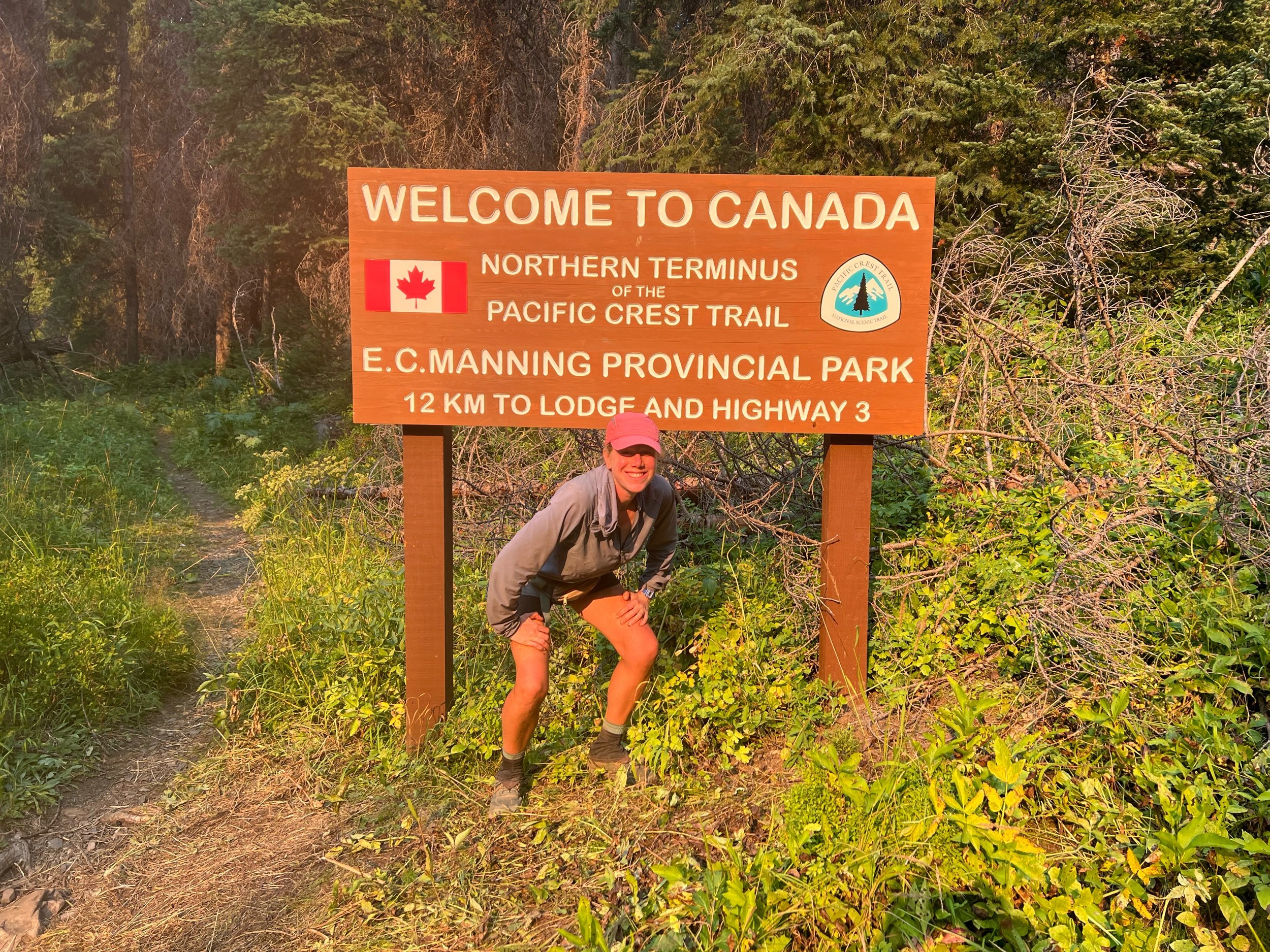
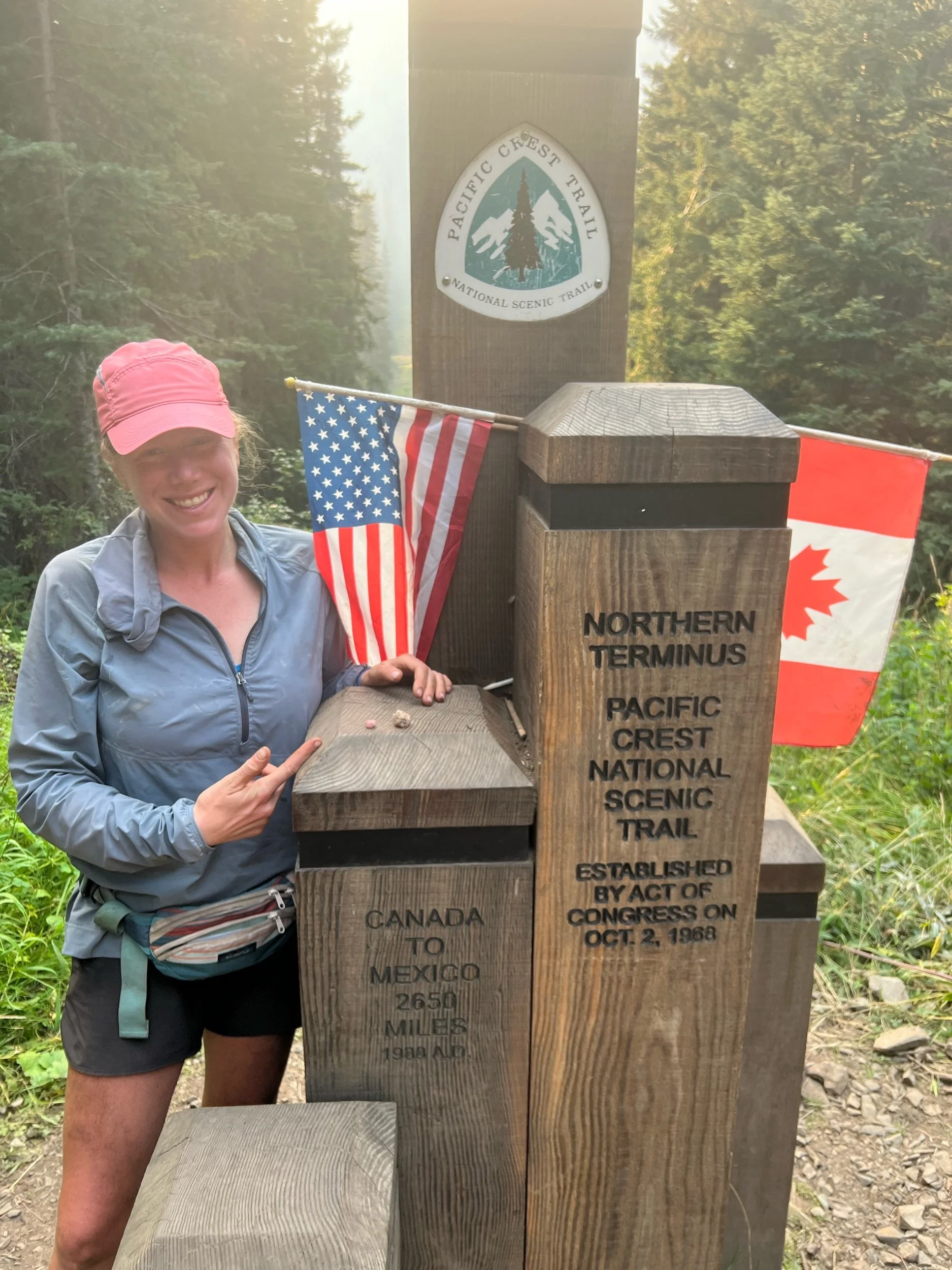
As we walked on August 31 and September 1, we saw multiple small fires on both sides of the trail. They looked to be a decent distance from us and relatively contained. But, we all had a sense that they might not stay that way. We needed move quickly. We reached the monument, and it was a strange feeling. It felt like a big accomplishment, but it didn’t feel like the moment I had envisioned when I started the trail, given we still had nearly 600 miles to hike of NorCal and Oregon. But, I had hiked over 2,000 miles and we had finished Washington, maybe the most difficult section. Mexico was a long ways away and felt like a lifetime ago. I had walked most of the 2,650 miles to get there, with a lot of help from family and friends near and far. The night before I left for the trail, a friend I’ve known since childhood, Sarah Zivic, gave me two quartz rocks from Litchfield, my hometown, to take with me. I promised I’d carry them to Canada. Those rocks traveled with me the entire way, as my hometown, or more specifically, the Ladies of Litchfield, childhood friends I’ve known for over three decades, have been with me the entire way.
(The divot in the trees in the second photo is the border.)
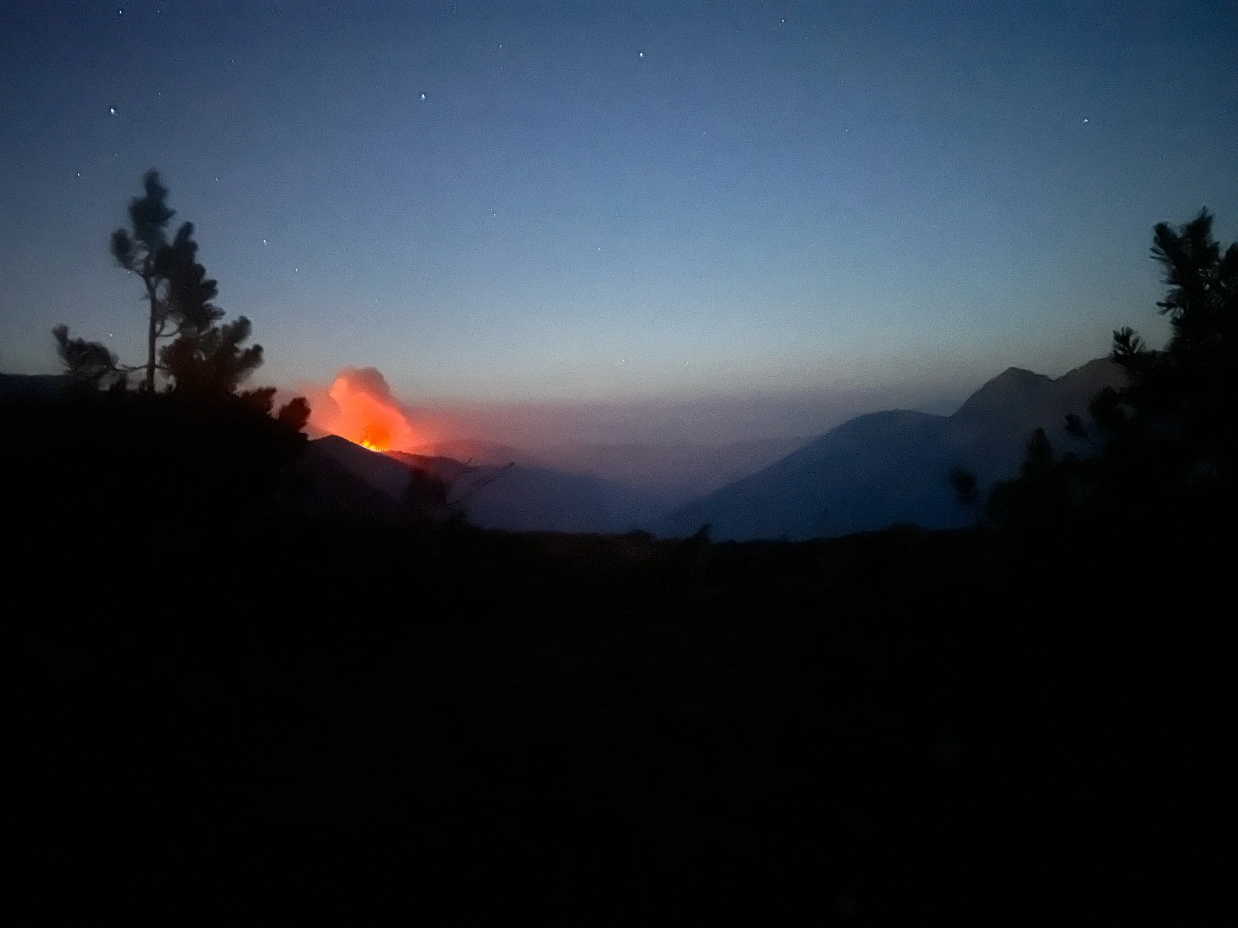
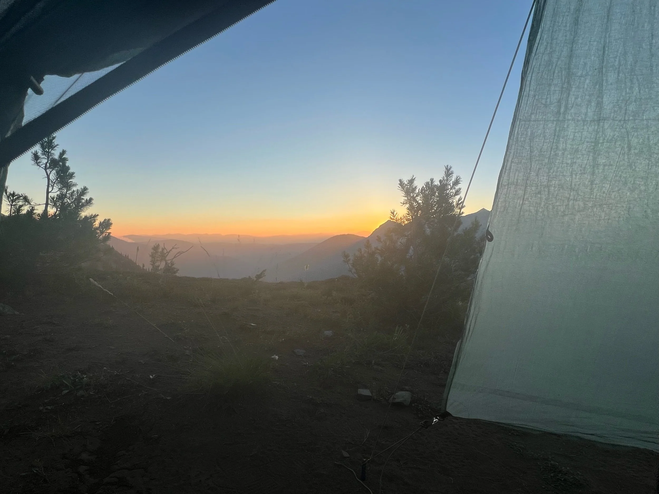
That evening, we hiked eight miles south to a campsite high on a ridge. It was nightfall, by the time we arrived. From the ridge we could see fires on both sides of the trail. The fire to the east looked particularly concerning because we could see flames taking over trees. Thankfully, it was at least a few miles and ridges away and the winds were calm and moving eastward. Another hiker near us did press his SOS button on his satellite device out of concern, and the Forest Service responded that whether we stayed or hiked further away at that point was our choice. Super helpful advice! I was so tired, having hiked 28 miles that day and as it was almost 9pm by the time I got to camp. Given the state of the fire at this point, I made the judgment call that I’d be more likely to hurt myself by hiking more that night. Star Camel said he was going to stay awake and watch the fire. If the fire worsened, he’d wake us up and we’d hike through the night. I was thankful it didn’t come to that, but I didn’t sleep much, as it’s not exactly restful having fires flanking the trail. The views below are from the last few miles of that day and from my tent, both that evening and the next morning.
As we hiked the 22 miles south back to Harts Pass on September 2, we were running into dozens of hikers walking north. Everyone was congratulating each other. About 7-8 miles from Harts Pass, we got a new look at the same fire we had seen from our campsite. The winds had picked up and the fire had ballooned. A couple of miles later, the trail was quiet. There were no more northbound hikers. I knew they had closed the trail.
When we reached Harts Pass, around 5pm, there were a number of hikers, many of whom were in tears because they just missed reaching the monument. There were Forest Service personnel instructing hikers that the trail was closed and there was no passable route to Canada. We didn’t celebrate, but we felt lucky. I understood how the other hikers felt, given my experience with fires in Northern California. Reaching the monument took on an entirely new meaning, as we had pushed to make it there, and had done so safely. So many things on this trail are out of your control. Fires have come to define the trail. Simply because you have the mental and physical strength to hike the trail doesn’t mean you will be able to complete it. While time will tell if I will be able to hike every mile of the PCT, I realized in this moment how special it was that I was able to get this far.
We made it to Mazama that evening, thanks to Lion, a trail angel who had hiked the PCT and now opens her home and backyard to hikers. No payment required. Only donations are accepted. She even constructed a replica monument, so disappointed PCT hikers could try to replicate their finish.
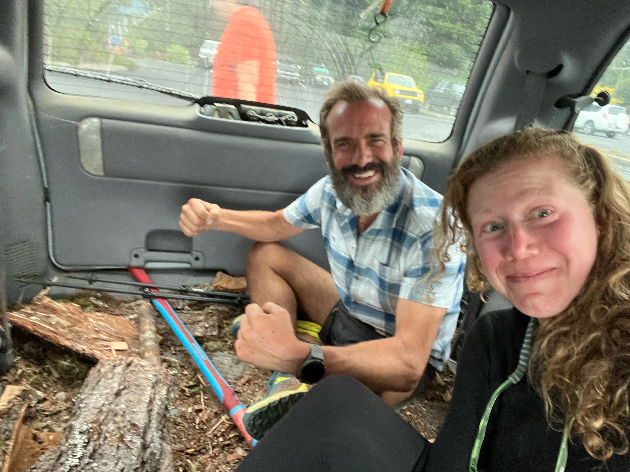
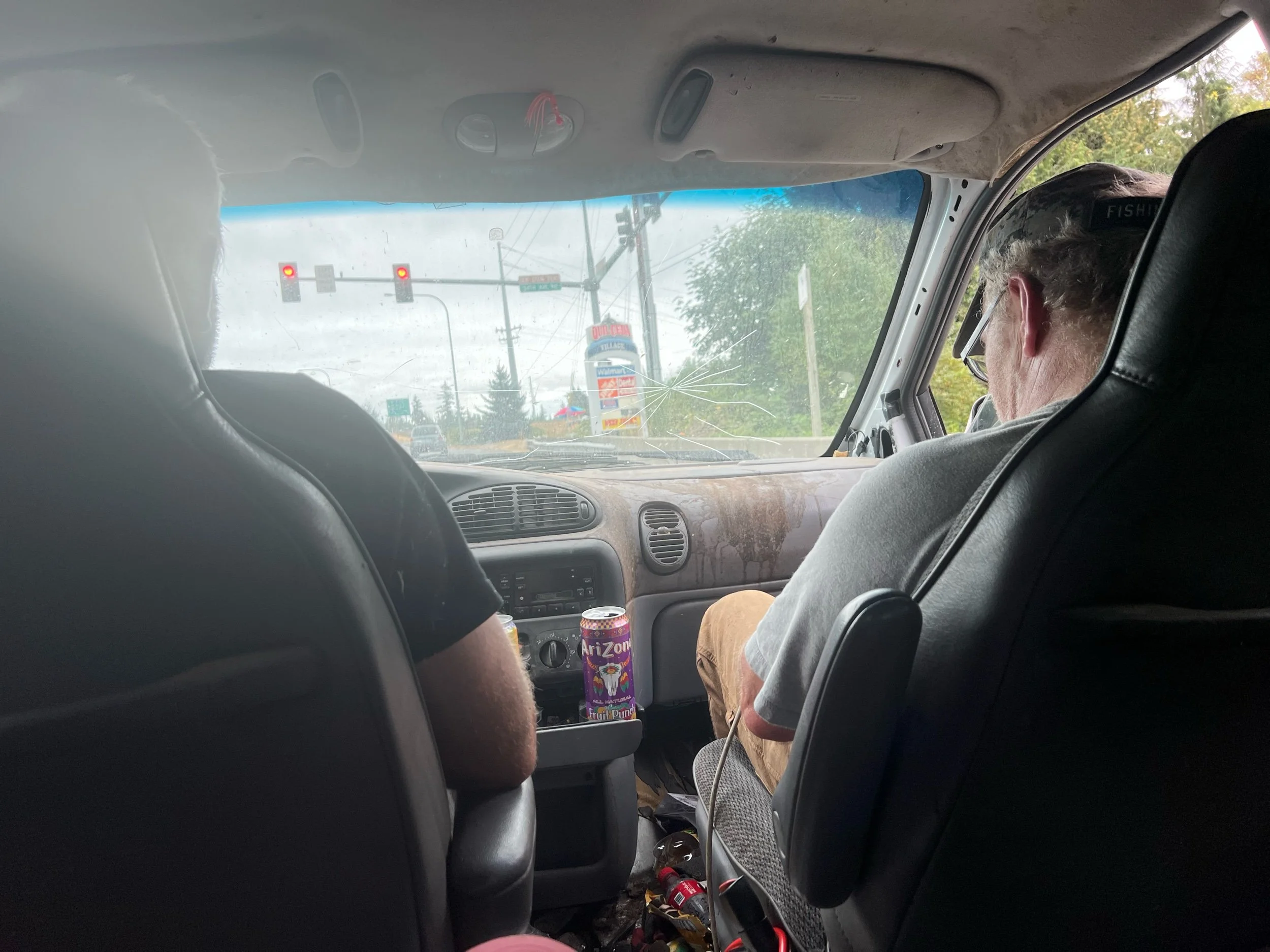
The next day, we had to make our way to Seattle. Given there is no public transit and we only have our two legs as transport, we would need to find rides. So, we stood on the corner of the road in Mazama with our thumbs out and signs alerting drivers that we needed a ride to Seattle. We made sure to have our trekking poles visible, as trekking poles are the only thing that sets puts us on the other side of the fine line that separates hikers from homeless. Caveman and I decided to stick together for the journey ahead, as you can’t hitchhike in a big group, but I wouldn’t do it alone. It’s easier for women to get rides, but as a woman, I feel safer having a guy with me. It took us three hitches to get to Seattle, but we made it. The first ride was a family of four, on their way to a weekend camping trip. The parents had met as Outward Bound instructors and had the coolest kids. The second ride was a social worker on his way to visit his girlfriend, but just so happened to take the scenic route, rather than the interstate. The third ride was, well, somewhat indescribable. These two men pulled over in a beat-up minivan for Caveman. He flagged me over. As I got closer to the car, there were no backseats. Rather, the back was filled with wood chips, tree branches, and a massive axe. The rest of the car was filthy. (Sorry, Mom and Dad - you can skip this part.) Sitting in the back, we did have the axe, so I felt like we had the upper hand if something went wrong. But, the two men turned out to be very kind. We learned that one of them was going to the nearby jail to pick up his son and it also happened to be the man’s birthday. I never learned what his son had done, but the sense of disappointment and sadness in the man’s voice was palpable. They ended up taking us all the way to the airport, about 20-30 minutes past the jail. As Caveman remarked to me, whenever I think of my own life, no matter how bad it is, I will always be more fortunate than these men, as it didn’t seem that anything in their lives had ever gone right. Hopefully, I can always be as generous and kind.
We made our flight on September 4, back to Medford, OR. We then got a ride from a trail angel/AirBnB host, to Dunsmuir, CA. This is where we left off before the McKinney Fire upended our journey. It took a lot of mental strength and logistical maneuvering to get back here. I wasn’t sure if I wanted to keep hiking, as I have been in the woods since mid-April, my feet hate me, and post-trail life is tugging at me. But, a part of me knew I’d regret it if I didn’t try to make up the missed sections.
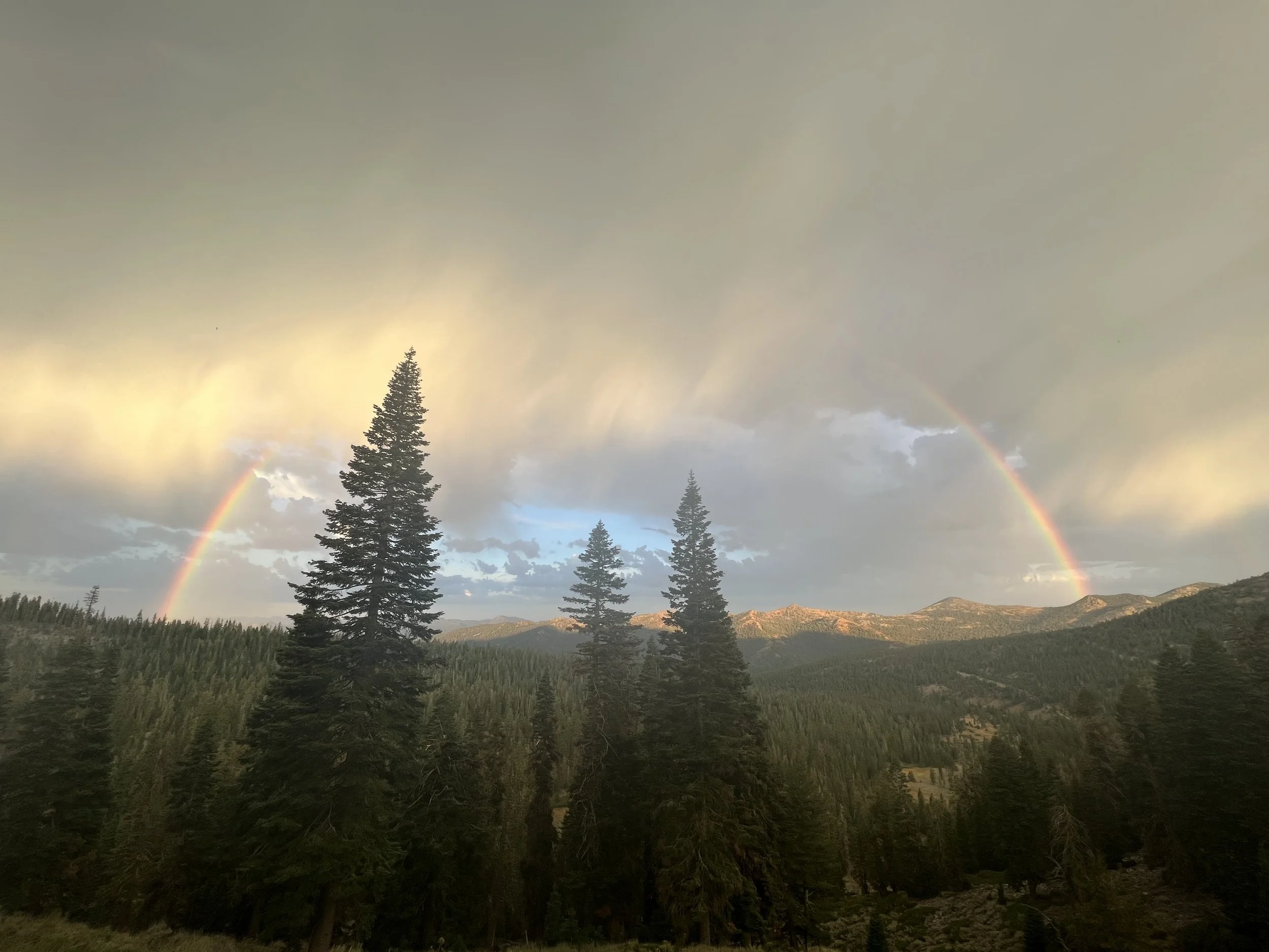
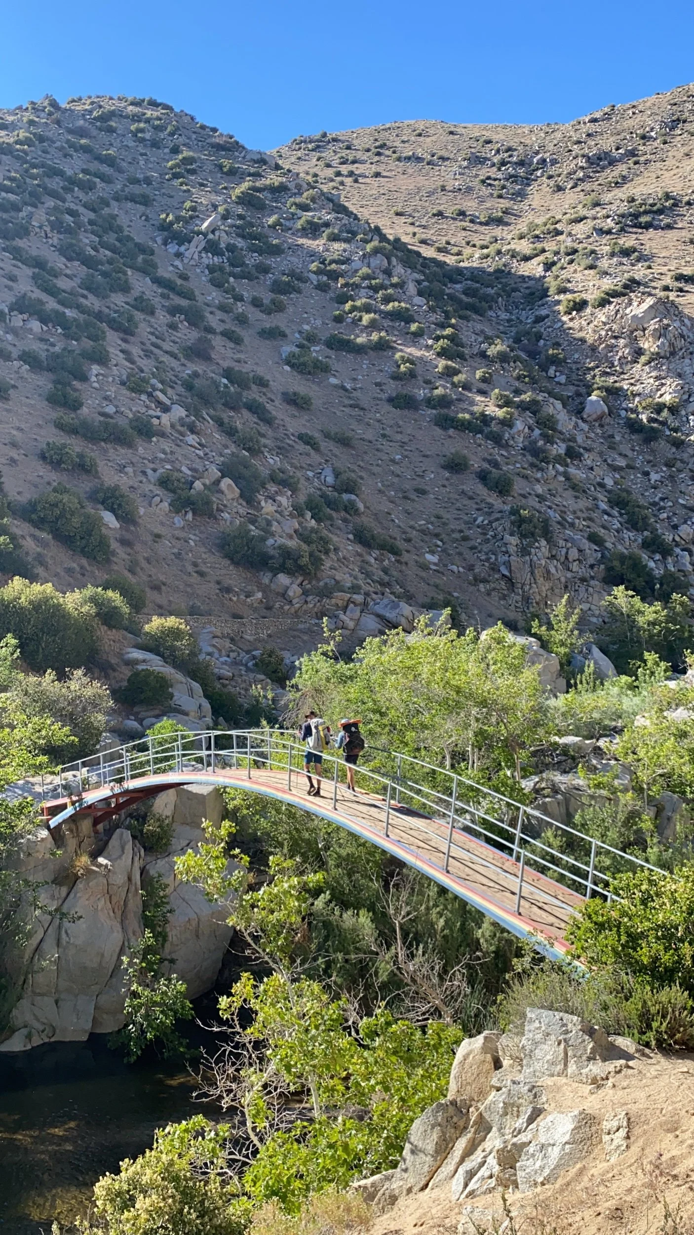
On September 5, we got back on trail at mile 1501. The trail was quiet. We didn’t see another northbound hiker for the 100-mile stretch, a stark difference from seeing other hikers all the time. Although it was a bit eery, there was a certain peacefulness to it. On our first full day of hiking back in NorCal, we were greeted with this rainbow, which brought a smile to my face and I took as a sign that it was the right decision to come back.
I’m currently at mile 1600, about 90 PCT miles south of the Oregon border. There are many fires currently burning in northern California and Oregon, but we will take each section as it comes, making sure to hike safely and with awareness of the surrounding fires. The hope is to make it back to Timberline Lodge in northern Oregon. If our hike is upended again by fires, I have made peace with it, as I’m really proud how far I’ve come and what it’s taken to make it this far. ❤️
p.s. As always, apologies for any typos and the length. My time is short, and finding time to edit doesn’t come easy!
Jumping Ahead and Finding My Way Back
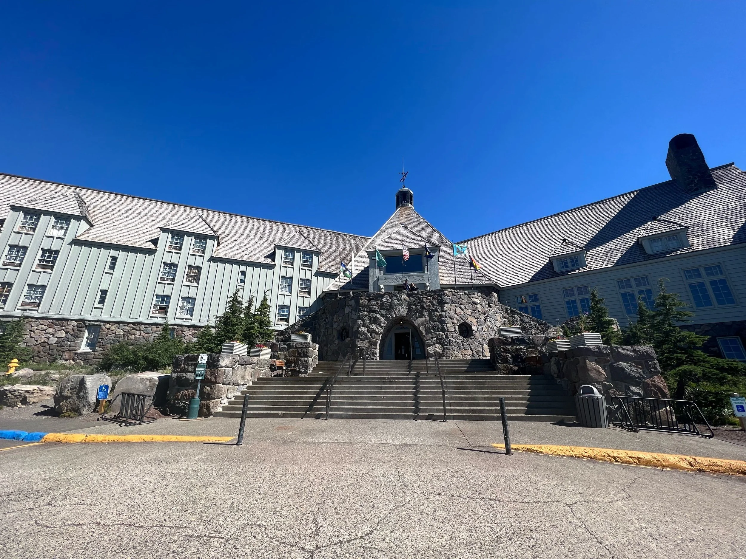
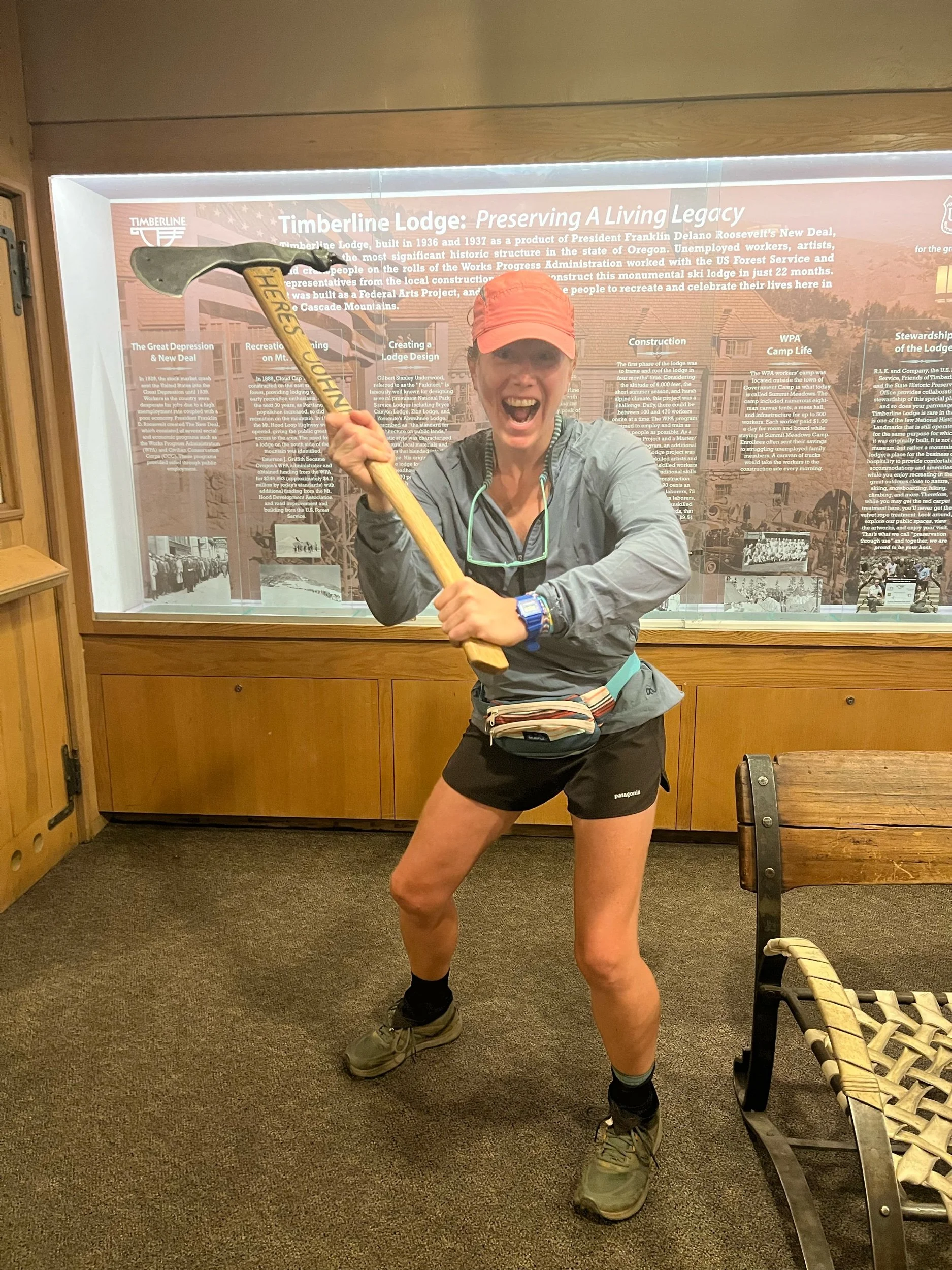
I’m currently writing from the Summit Inn, which sits right off mile 2394 of the PCT in Snoqualmie, WA, about an hour from Seattle. Since my last post, I’ve walked from Timberline Lodge (mile 2097), or about 300 miles, consisting of 50 miles of northern Oregon and nearly the first half of Washington. We arrived at Timberline Lodge on August 3, after taking three days to figure out travel logistics from Medford, Oregon, shopping for and organizing our four Washington resupply boxes, and actually driving the nearly six hours to the Portland area, from Medford. Timberline Lodge sits right at the base of Mount Hood. You may recognize it as the Overlook Hotel from the movie, The Shining. While there is not currently an axe murderer running around, there is an excellent breakfast buffet, which is legendary among PCT hikers. I wish I could have hiked to the buffet, but my feelings of lament did not override my feelings of hunger and indulgence. So I indulged. And I plan to again as a celebratory finish if I can hike Oregon after Washington (which is looking up! Fingers crossed!).
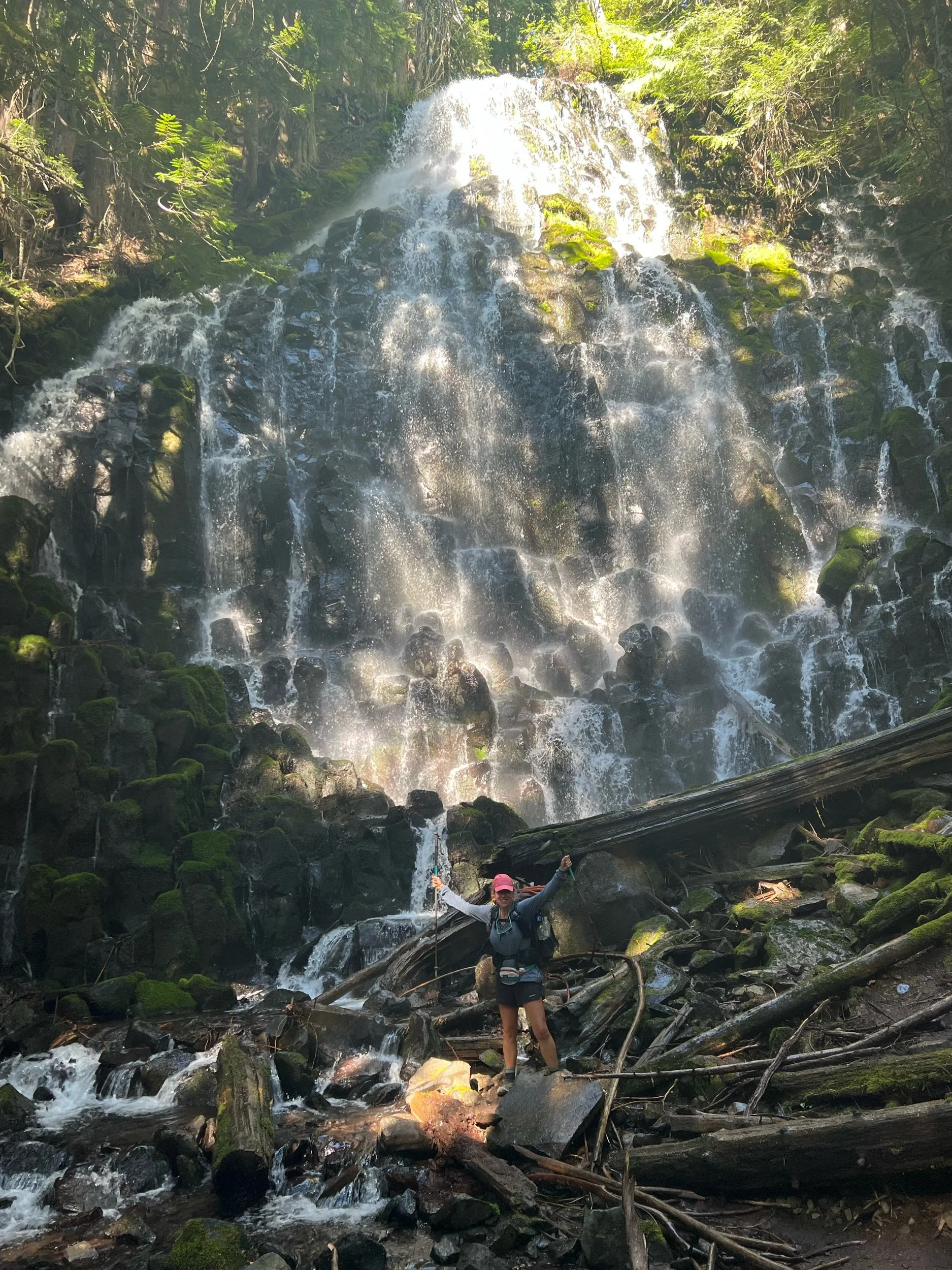
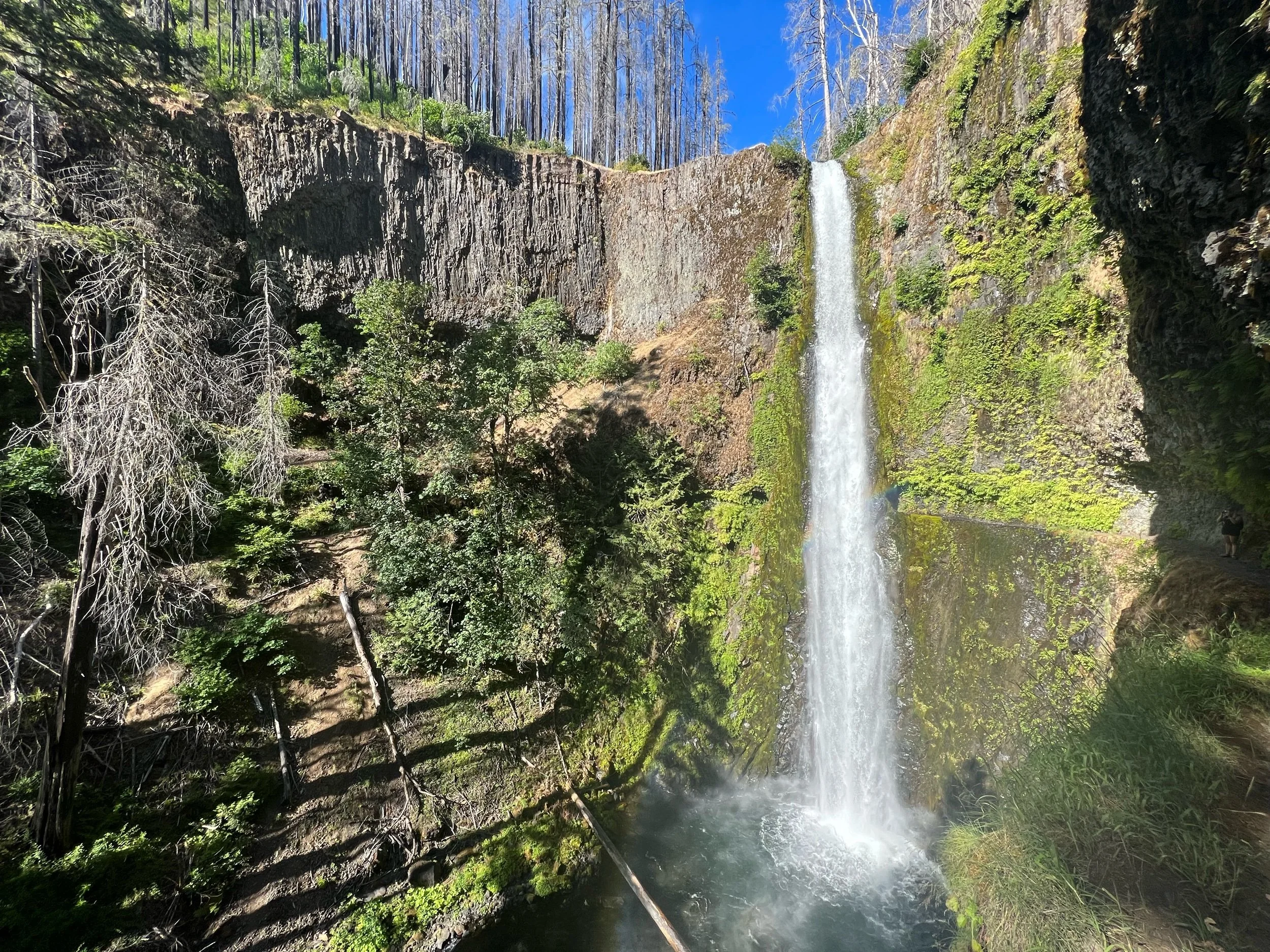
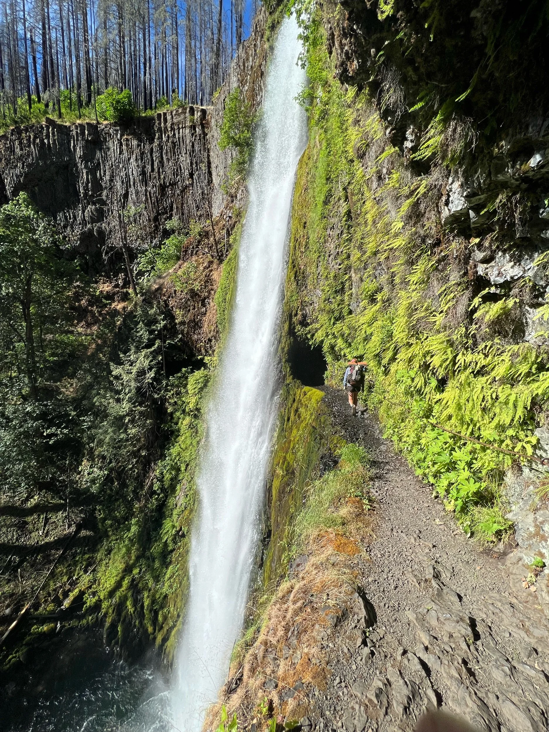
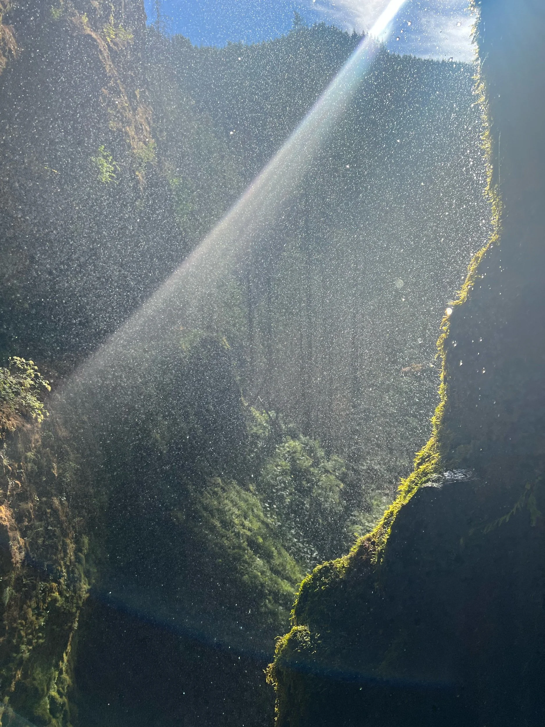
It felt odd to be all of a sudden dropped in a different landscape, having jumped up from mile 1501, to mile 2097. It didn’t feel right to me. There were a lot of people who had skipped up, some of whom I hadn’t seen in hundreds of miles. There were also others who had walked all the way there, most of whom had either started the PCT in March or were just very fast and missed the fires. I was excited to see old faces and jealous of the new ones. My pity party was getting old, but thankfully the scenery helped to distract me. It was stunning. Between the views of Mount Hood, Mount Adams in the distance, and the spectacular waterfalls, I was awestruck. It was a jolt from the landscape of NorCal, but I was managing to adjust. We passed by two waterfalls in particular. First, we walked by Ramona Falls, a standard spectacular waterfall. But then, we reached Tunnel Falls, which is exactly what its name implies. The trail goes through a tunnel of rock, with gushing water spraying down hundreds of feet on the outside. I’ve never seen anything like it and felt as if I were in another world.
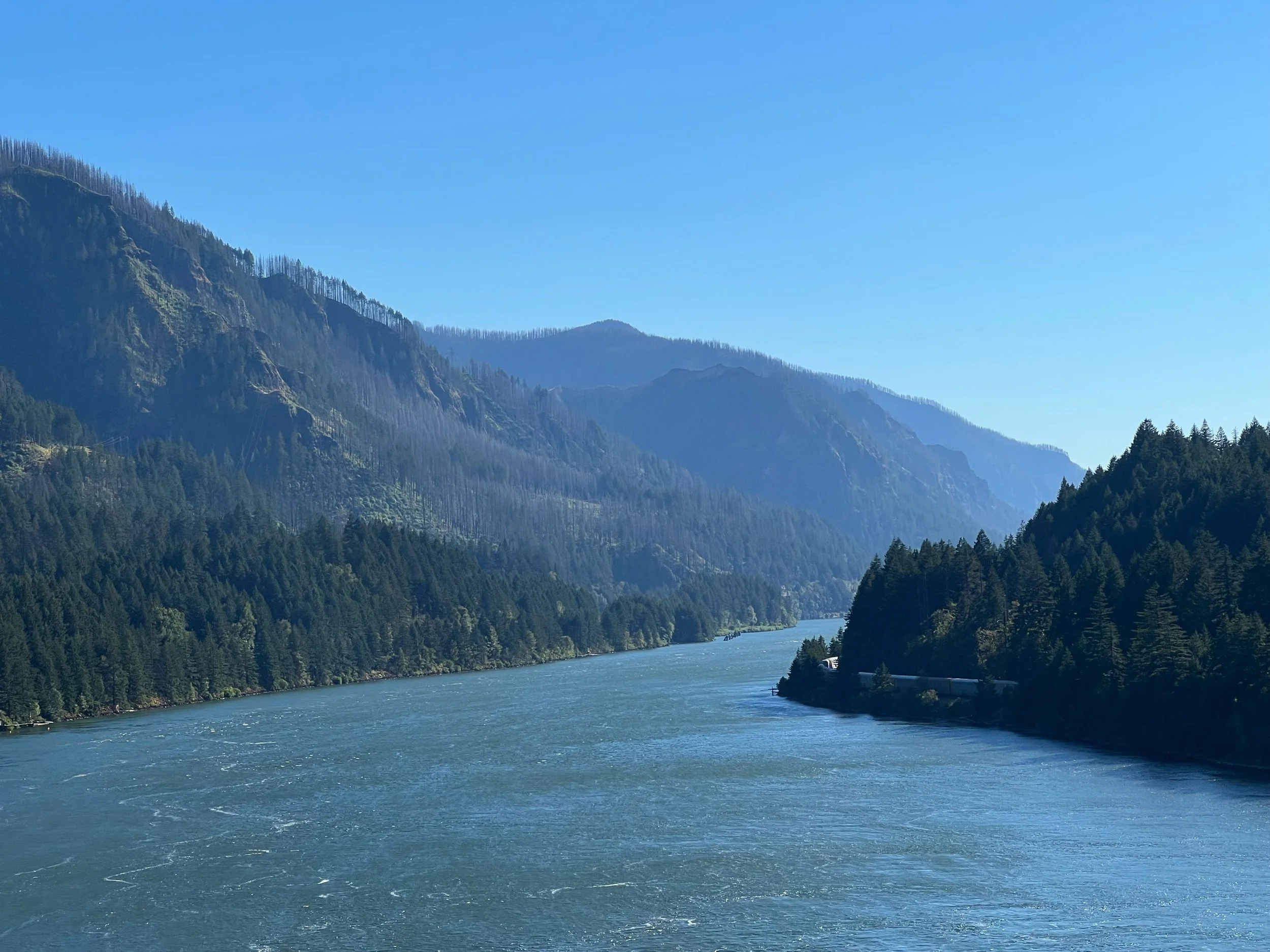
On the morning of August 5, we reached Cascade Locks, a small town on the Columbia River that has the honor of being the lowest elevation on the PCT (somewhere around 200 feet). We stopped only briefly in Cascade Locks, to resupply, stop at Thunder Island Brewery, and get some of the famous soft serve ice cream.
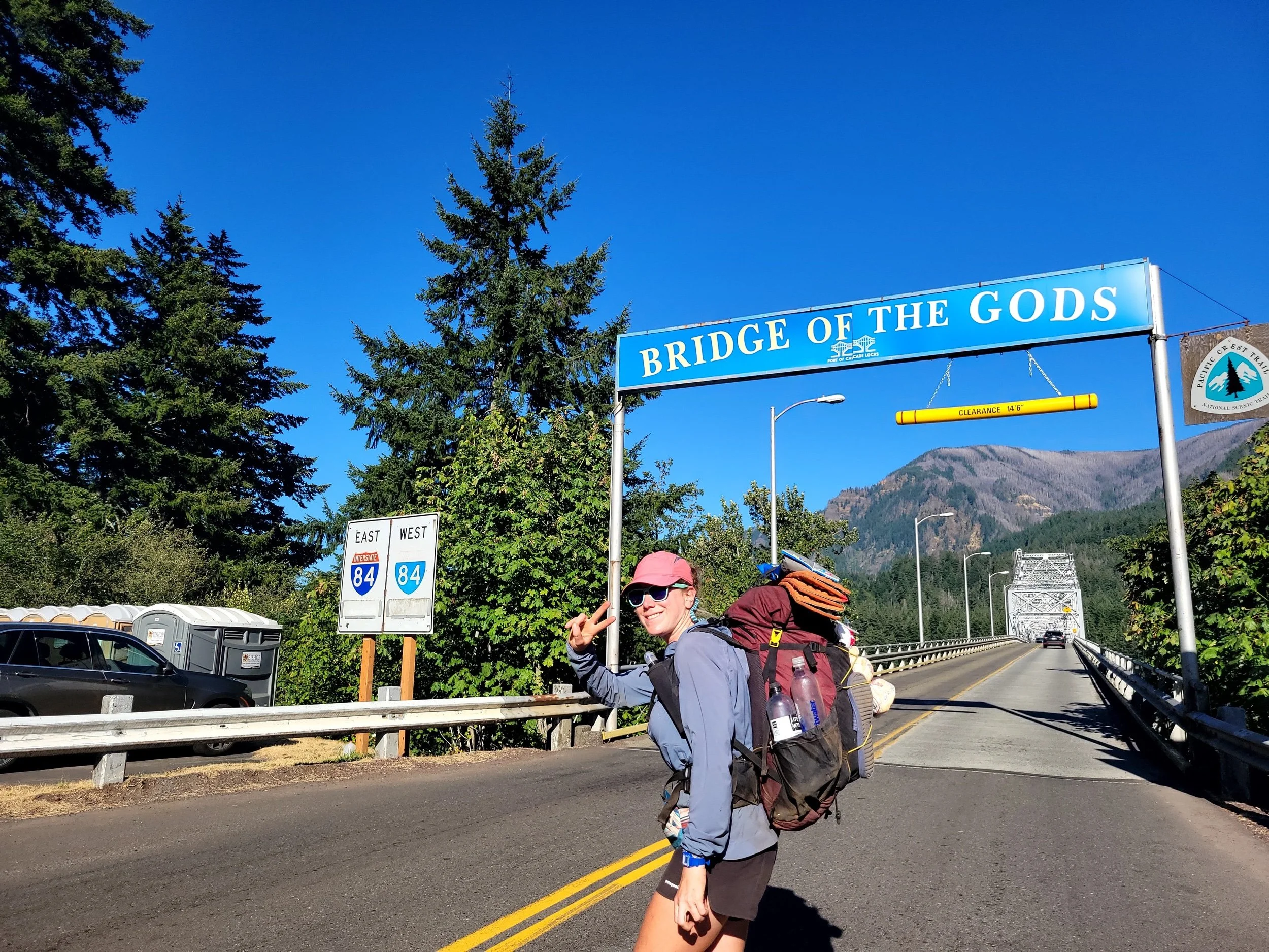
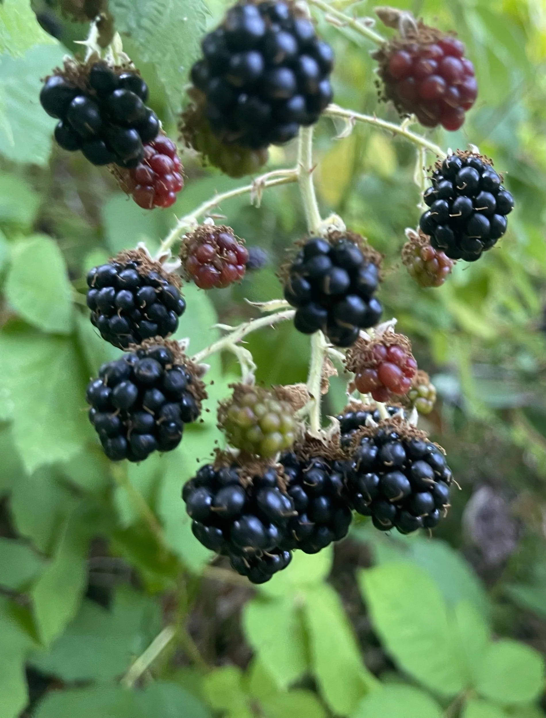
The iconic Bridge of the Gods connects Oregon to Washington, from Cascade Locks, to Stevenson, WA. This bridge is a huge milestone for PCT hikers, as it marks the completion of two states. It didn’t quite have the same feel for me (I promise I’ll stop my little pity party soon), but I still relished in walking over this bridge. We only needed to hike a few miles after the bridge, which was a good thing, as I moved at a glacial pace, picking nearly almost every blackberry that lined the trail.
Immediately after reaching Washington, we started climbing and descending. The end of NorCal and Oregon are considered the easiest sections of the PCT because there is the least amount of elevation gain and loss. Washington, particularly northern Washington, is known to be just as challenging as the Sierra or even more so. While we aren’t as high as we were in the Sierra, the elevation gain and loss is more significant. We started to sense this as we got further into Washington, although the hardest parts are still to come.
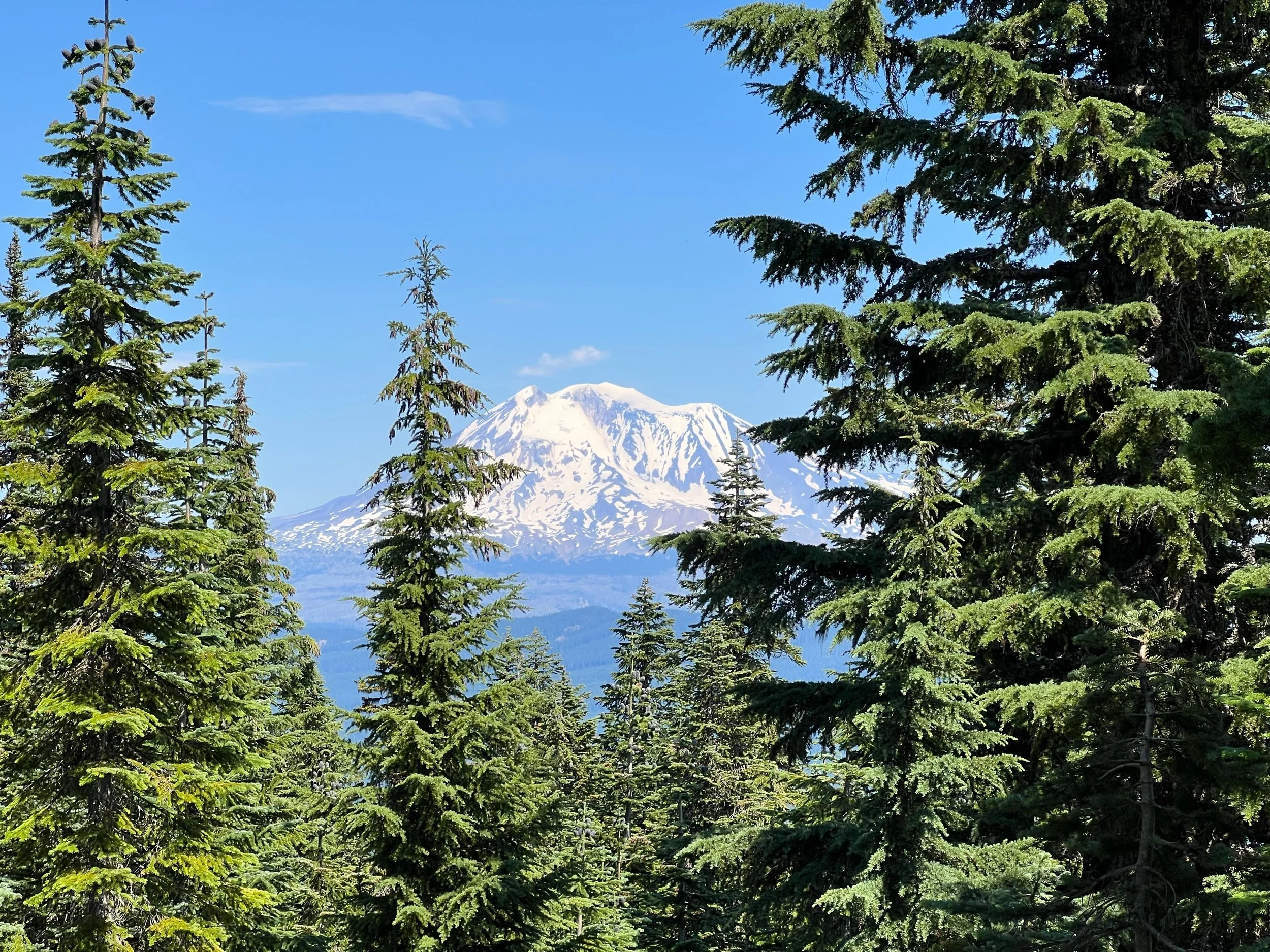
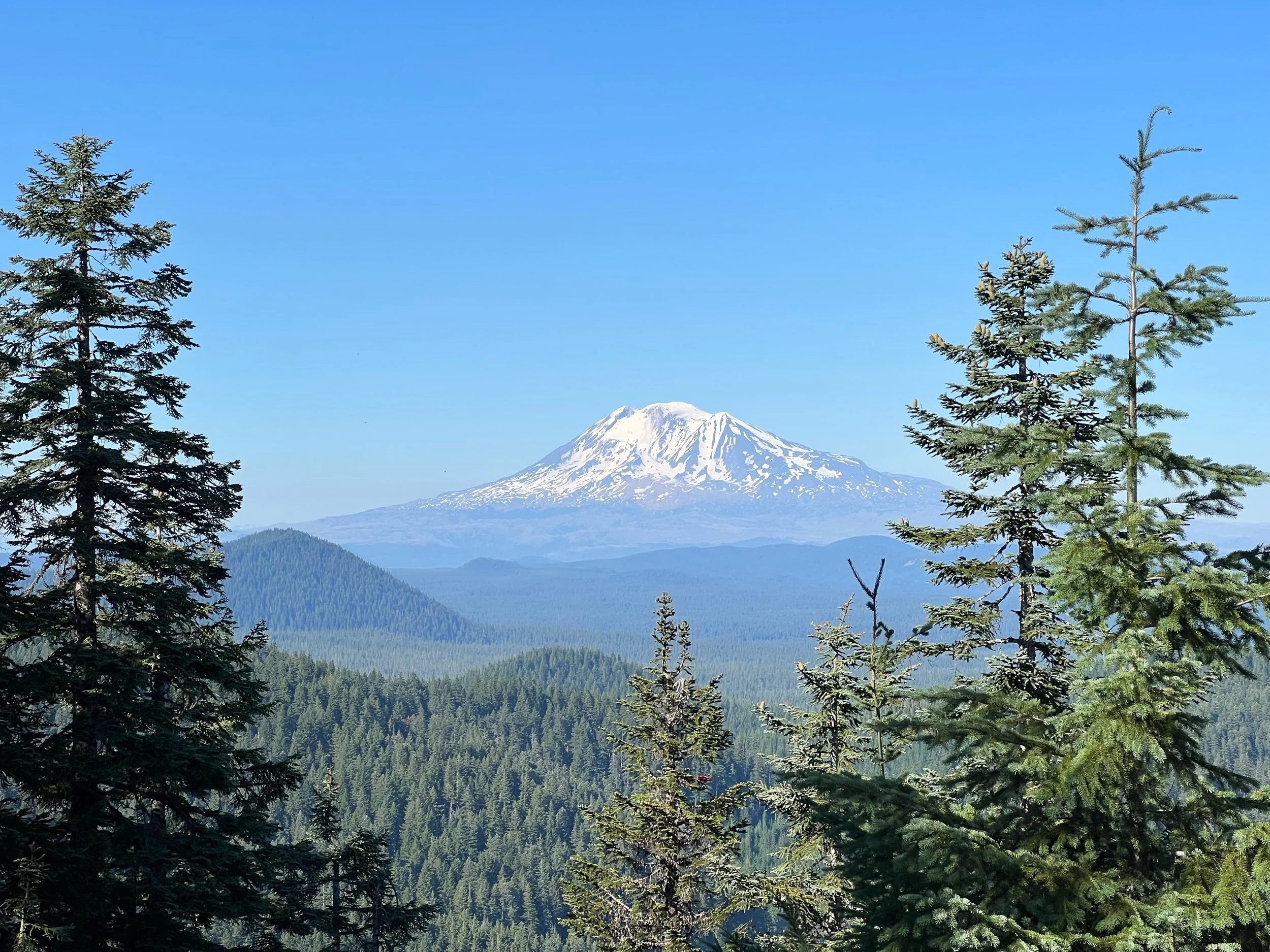
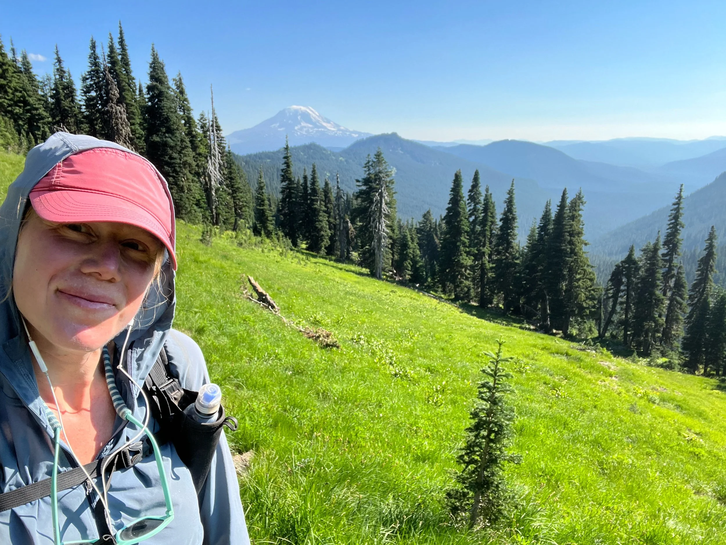
As we walked from Cascade Locks, to Trout Lake, WA, Mount Adams came into full view with some glimpses of Mount Jefferson and Mount St. Helens. Mount Adams became almost a permanent fixture in the landscape for a few days. In the photos, I believe (I should know) Mount Adams has the flatter top and Mount Jefferson has the more pointed summit. This was also the section of the trail with the most trail magic. Each day, another nice person was set up with cold beverages, fruit, and other delicious snacks. For one, I was about 2.2 miles away, and I heard from another hiker going in the other direction about the trail magic. I got there in a little over 30 minutes, even though walking at a normal pace would take me 45. In order of speed, from slowest to fastest, there’s the speed of a cheetah, the speed of light, and the speed of a thru-hiker when they hear of trail magic. Amazing what the promise of fresh watermelon can do.
On August 9, we reached the town of Trout Lake. Trout Lake is a charming town, which consists of a general store, cafe, taco truck, and inn. All were amazing and cater heavily to hikers. I believe the store makes more money in August than in all the other months combined. Given it was a little rainy that day and we preferred a hotel shower to the public one, we decided to stay the night, which proved to be an excellent choice. The beds were perhaps the best ones we’ve had on trail. For some behind the scenes action, the photo below is of socks, after 3-4 pre-washings, so that all of the laundry is not washed in pure dirt water, just semi-dirt water.
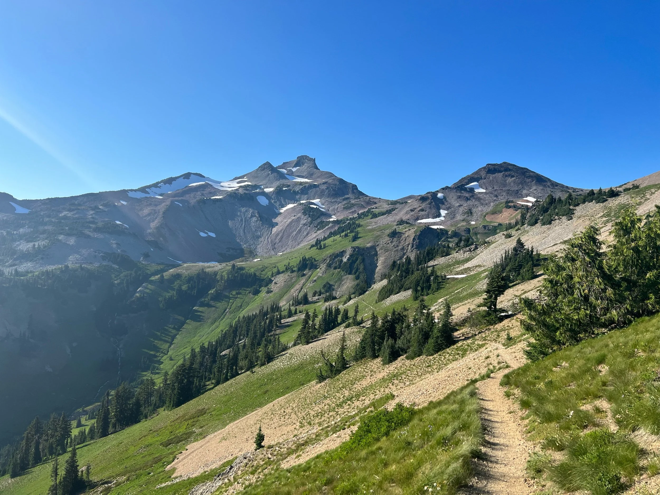
In contrast to the dirty socks above, the next section, from Trout Lake, to White Pass, was perhaps one of the most beautiful on trail and rivaled some of our days in the Sierra. It was in this section that we walked through the Goat Rocks (named for the mountain goats that roam the area) and Mount Rainier came into sight. First, on August 11, we climbed and crossed Ciphus Pass. Once we reached the northern side, it looked like Ireland had been transplanted on top of a dormant volcano and lined with pine trees, so perhaps nothing like Ireland at all. But irrespective of the landscape’s similarity to Ireland or not, it was bursting with greenery and water, with Mount Adams in the growing distance.
On August 12, we had the famous Knife’s Edge ahead of us, a section of trail that climbs to over 7,000 feet and traverses a long ridge line of volcanic remains. This day was epic. Once I got to the top of the climb, it felt as if I had reached a different planet or the moon, although again, the surface probably looked nothing like a different planet or the moon. As we reached the top, Mount Rainier was in full sight and other peaks, Mount Adams and Mount St. Helens were in the distance. The descent along the ridge took a long time, as the trail is lined in volcanic rock scree.
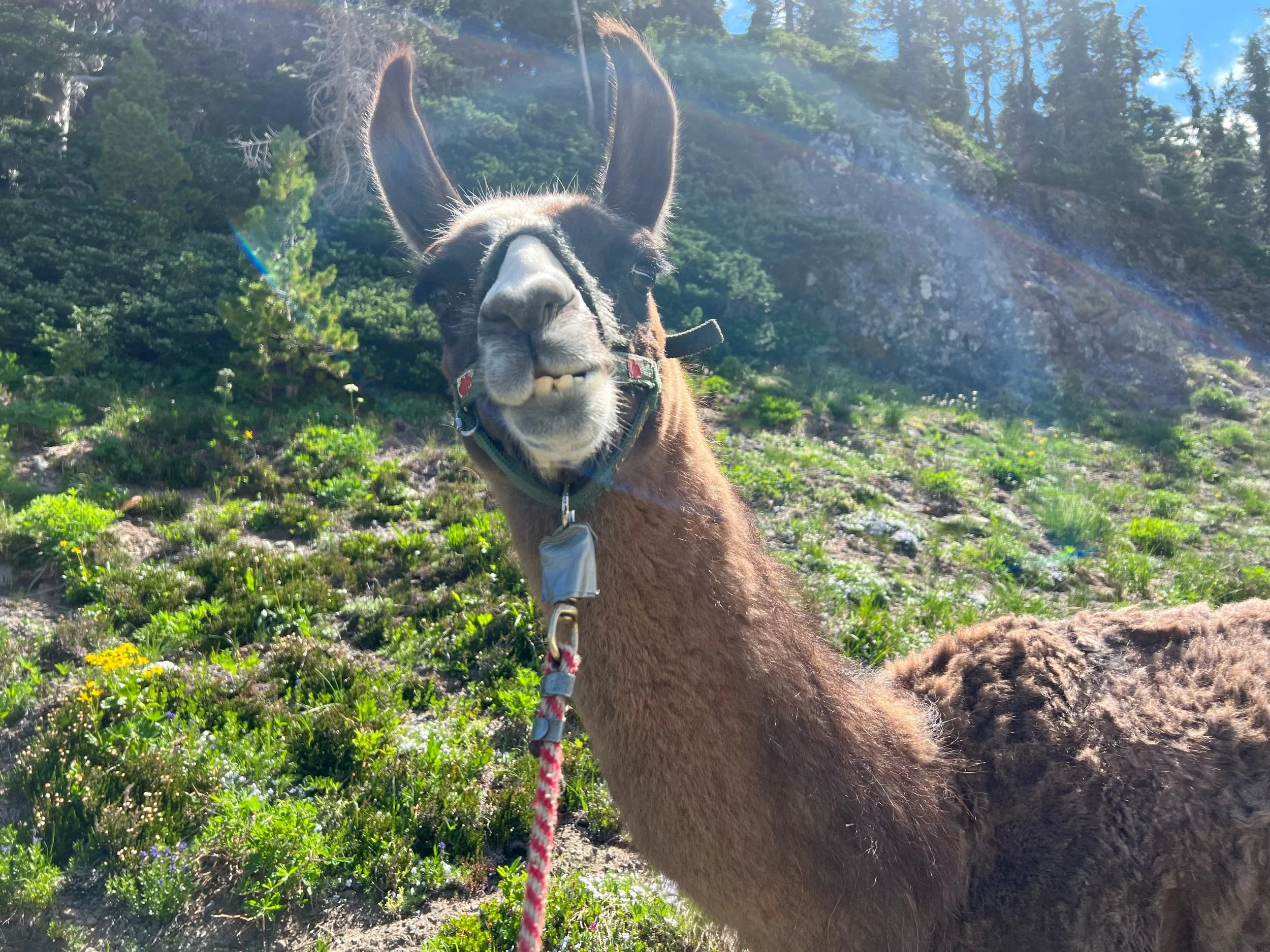
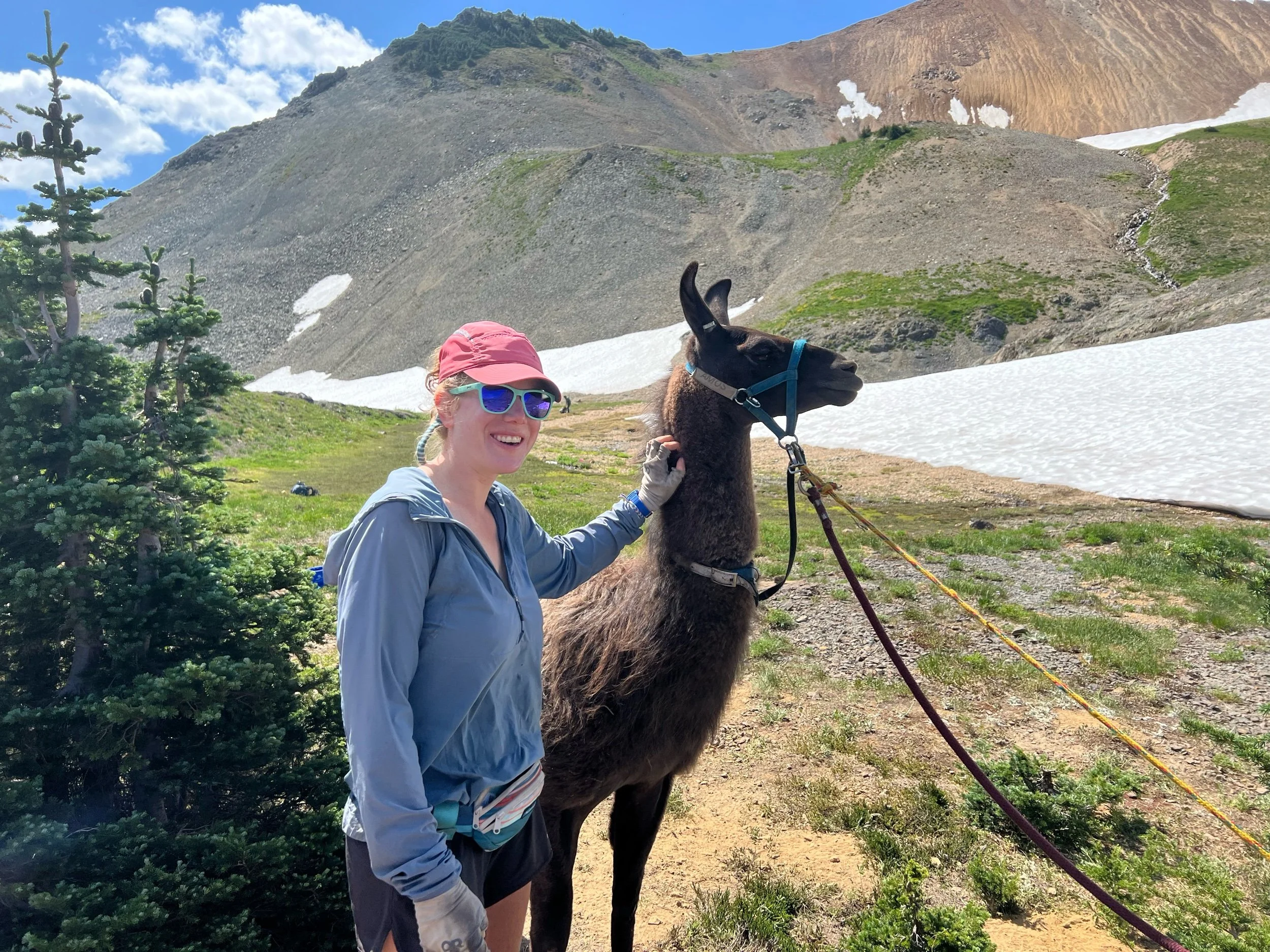
After descending Knife’s Edge, we spotted a pack of llamas. Naturally, we went over to investigate. They were with a group of hikers associated with an organization called Pass to Pass, an organization that leads people with Parkinson’s on trips through the Sierra and Cascade ranges, with llama support. Apparently, vigorous exercise has been shown to slow the progression of Parkinson’s. The llamas were eager to take photos with us, so we, of course, obliged.
The rest of the day was filled with more climbing and more beautiful scenery. The usual. I’m also convinced Dr. Seuss got all his ideas for his book drawings in this section, as many of the trees in the forests were draped in moss and certain of the flowers looked like exact replicas from his books (or vice versa).
The next day, we woke up to a misty morning on our way to White Pass, a place that is a ski resort in the winter and a convenience store for hikers to hang in the summer. We got our resupply boxes, hung out in the parking lot while our electronics charged, and ate pizza and whatever else the store sold. Time flies in a convenience store parking lot. We headed out that afternoon, for the final leg of this section, from White Pass, to Snoqualmie Pass.
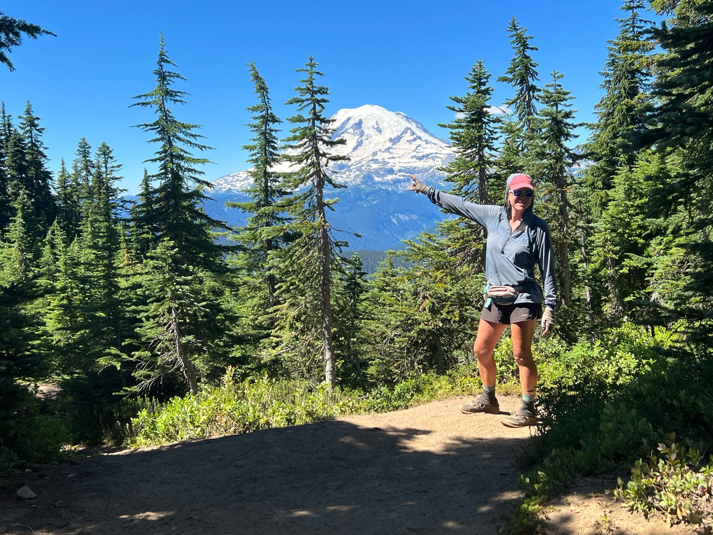
The next section, to Snoqualmie Pass, consisted mostly of Mount Rainier appearing around every corner, getting closer and closer into view. We walked through Mount Rainer National Park and took many a photo of us doing so. Just in case you aren’t sure, I’m pointing out Mount Rainier for you in a photo below. I also took my time in this section, as blueberries and huckleberries lined the trail, and it was extraordinarily difficult not to stop and eat them. I tried to leave a few for the bears.
We were were quite lucky with the weather, so we had clear, unobstructed views. By the time we reached Snoqualmie (August 17), having not showered or laundered our clothes since Trout Lake August 9), we were, to put it mildly, disgusting. It’s much more humid in Washington than in California, so the sweat never quite dries from your clothes. The dirt accumulates just the same. The lobby of the Summit Inn, mostly filled with hikers, smelled worse than a locker room right after a football game.
We reached Snoqualmie Pass on August 17. I was excited for a shower and laundry, but my excitement mostly stemmed from the fact that my sister, Casey and her boyfriend, Landon, were meeting me there on August 18. It was a long trip for a short visit, but it felt so special to have her here. I was supposed to be in Bend now and seeing my parents, but seeing Casey lifted my spirits. Sometimes seeing family makes you realize how much you miss them.
I’m off today to tackle the second half of Washington. We hope to finish around Labor Day weekend, and then tackle Oregon and finish at Timberline Lodge (I even booked a flight from Seattle, to Medford!). While I don’t think hiking from Mount Shasta, to Ashland will be possible, we are hopeful we can hike nearly all of Oregon. It’s a bit out of order, but these were the cards that were dealt. I’m excited to see what they have in store.
Rewind: NorCal, or Most of It
I’m currently in Trout Lake, WA, and miles 1090, to 1501, feel like ages ago. I regret not writing contemporaneously, but I was exhausted for most of those miles, having taken only one day off, and trying to be in the moment, as they say, rather huddled over my phone. So, this post will be based on my poor memory and sparse notes, but hopefully true to the section and my experience just the same.
The NorCal section often gets a bad rep, as it’s long, hot, and not the high Sierra. While it was certainly all of those things, I actually found a soft spot for the section. It’s historically and geologically interesting, as the Sierra range transitions to the Cascade range around the 1,300-mile mark. Due to the volcanic activity, we passed by a lava tube, geysers, and boiling lakes. We also had to walk through miles of burned forest from the Bear Fire of 2020 and the Dixie Fire from 2021. And, we passed by Donner Pass named after the infamous Donner Party, but we declined to engage in cannibalism despite our hunger (more on that later).
But perhaps more important than the scenery, this is the section where I found my stride. There was a certain rhythm to this section, as we needed to pick up the pace to at least 25 miles a day and we weren’t taking long breaks in towns. We became thru-hikers in this section. While I certainly appreciated a bed and a shower, I wanted to be hiking. A minimum of 25 miles a day became the norm. My legs were tired but strong. Big climbs were no longer daunting, as my legs and lungs were no longer intimidated and they carried me up without hesitation. I think my legs had finally realized they lost the fight against my brain, and decided to acquiesce by building muscles, rather than fight with aches and pains. Hiking 25 or more miles a day in 100+ degree heat day after day gave me a sense of confidence. Physical strength breeds mental strength and mental strength breeds physical strength. It’s the classic chicken and egg dilemma but I felt I had both. I liked the simplicity of the rhythm and found a certain peace through it. Wake, eat, hike, eat, hike, eat, hike, eat, sleep, repeat. It might seem boring, but we also saw beautiful landscapes and shared our stories and joked together at breaks and over dinner. I spent a lot of time alone hiking, but I was never alone. I was part of the PCT community. They say, off the trail, living is easy but life is hard. On the trail, living is hard (need to find water, a place to sleep, deal with weather, put in the miles, etc.), but life is easy. Life was easy. While real world issues don’t disappear, you can kind of brush them aside because we are all focused on this singular project, hiking trail and helping each other do the same.
This all got interrupted due to the McKinney Fire at the California/Oregon border and the other fires in Oregon. I understand my hike is of little consequence compared to the devastation others faced, but I suppose this is my experience and what I know. I was quite saddened to have been stopped short, right as I found this rhythm. Missing out on the continuous footpath will always sadden me. I don’t know how to describe it, but it hit me hard. Perhaps, harder than I realized in the moment. They says it’s the journey, not the miles, but it feels a bit like cold comfort. I hope I am able to go back and finish California and Oregon after Washington, but, given most of Oregon is currently on fire, I’m not sure if it’ll be possible. Time will tell. Now onto what we saw in NorCal…
We headed out of Lake Tahoe on July 10. We soon entered Desolation Wilderness and passed by Echo Lake and Aloha Lake. Both are beautiful and are easily accessible to day hikers and weekenders, otherwise known as Muggles. And there are a lot of them. All of these people have food and the bears know it. So, bears hang out here a lot. Given we already returned our bear canisters, we needed to hang our food to avoid having it stolen. Hanging food via the PCT bear hang method was a lot easier in my parents’ backyard than trying to do it after hiking all day and at 845 at night. Let’s just say it took us until after 10 to hang the food. But, we hung it so well that it took us 1.5 hours the next morning to get it down. Once we got out of this section, we went back to the less safe but easier method of sleeping with our food or getting Big Spoon (a former Eagle Scout) to do it. I’m a strong, independent woman, except when it comes to hanging food, as I’m terrible at knots and throwing a rope over a high tree branch. More than happy to let others do this one.
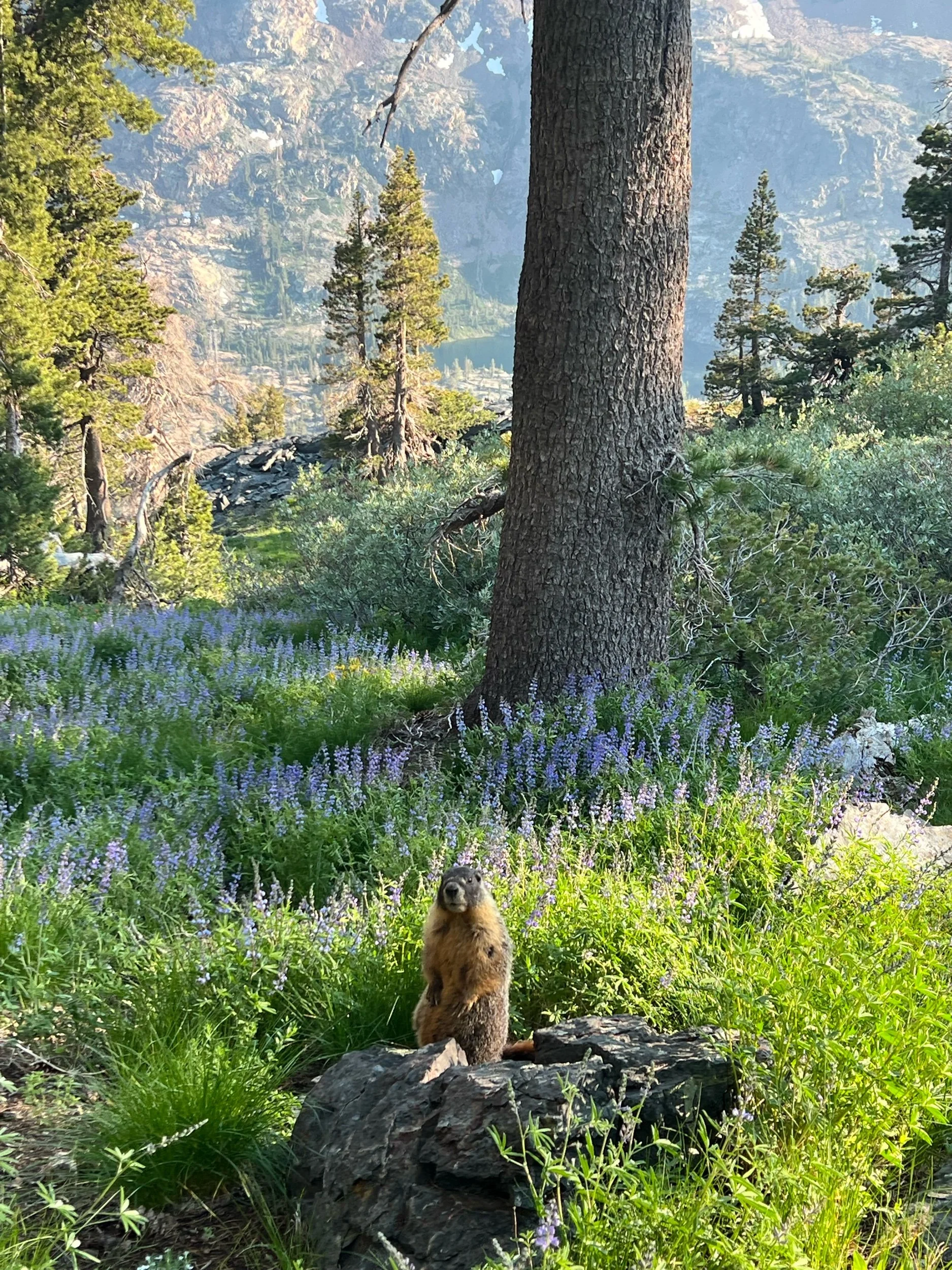
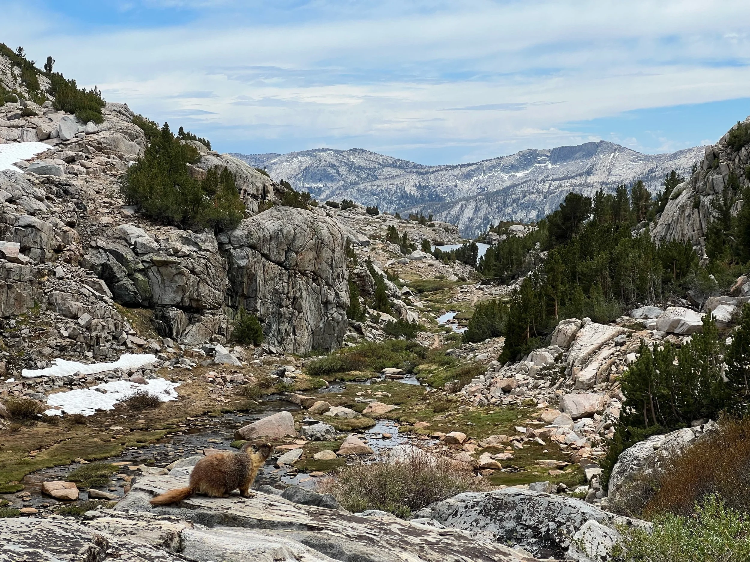
The views through this section were spectacular and the marmots were still super cute.
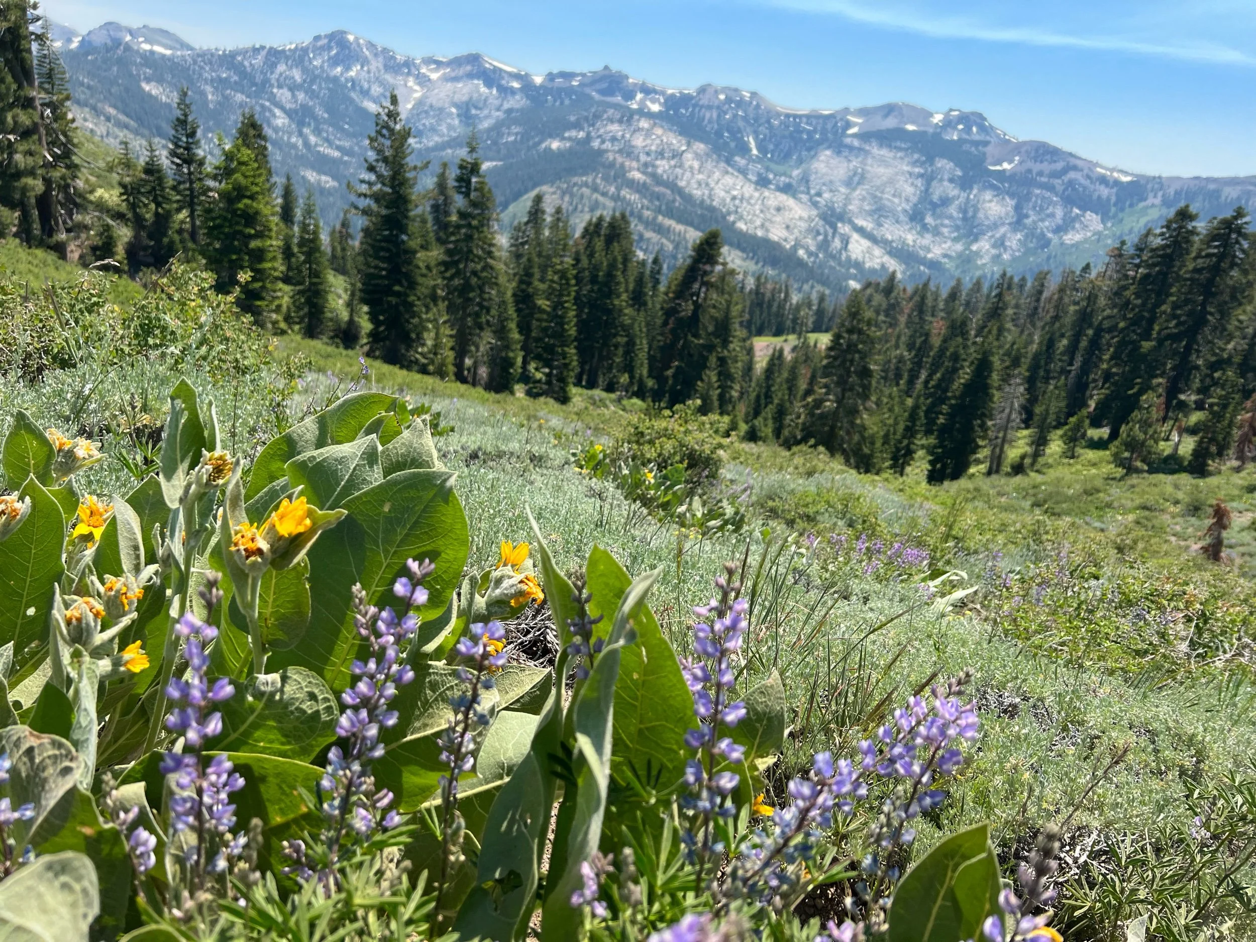
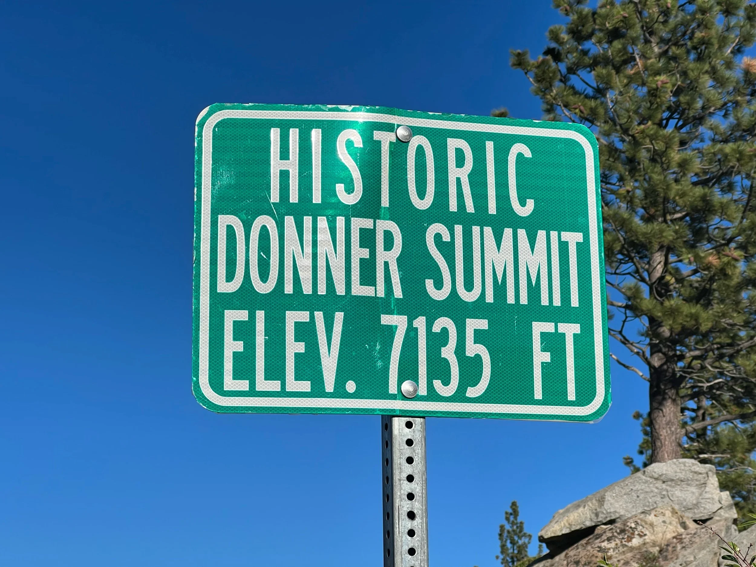
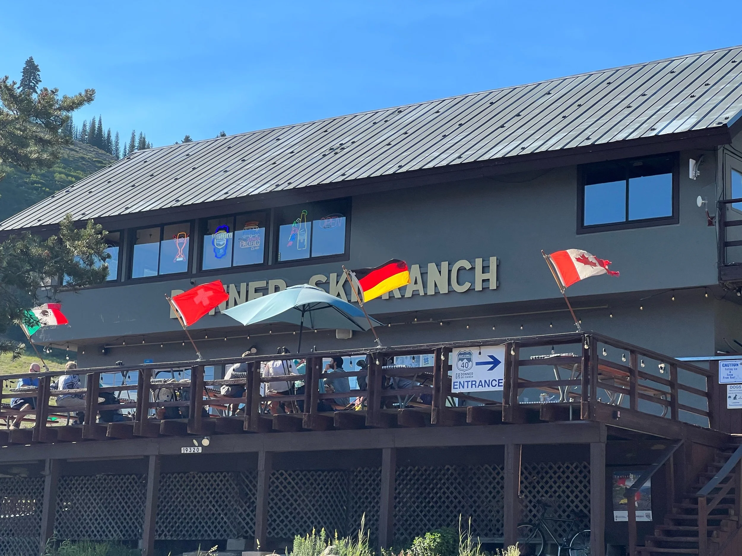
After Desolation Wilderness, we entered Granite Chief Wilderness. This section had mountains covered in wild flowers of all colors, yellows, blues, purples, reds. Nature knows a good color palette. We soon were approaching the town of Truckee, a ski town that is the site of Donner Pass, where the Donner Party tried to cross the Sierra in the winter and ended up eating each other. As the story goes, rather than take the tried and true Oregon Trail, they decided to take a shortcut, that wasn’t even a shortcut in terms of miles and certainly wasn’t one in terms of terrain. Things did not go well from the start for the Donner Party, but they kept going until they murdered and ate each other and were finally rescued from the former Truckee Lake (now named Donner Lake for reasons that are unclear). Currently, Donner Ski Ranch sits there. Given we are hiking in the off-season, to attract hikers, the Ski Ranch offers free 40-ounce malt liquor to PCT hikers. Because nothing makes a PCT hiker hike faster than town food and something free, I raced there, down massive granite rock steps, only to feel faint and substitute my 40 for a lemonade. Don’t worry, I perked up enough just in time for margaritas.
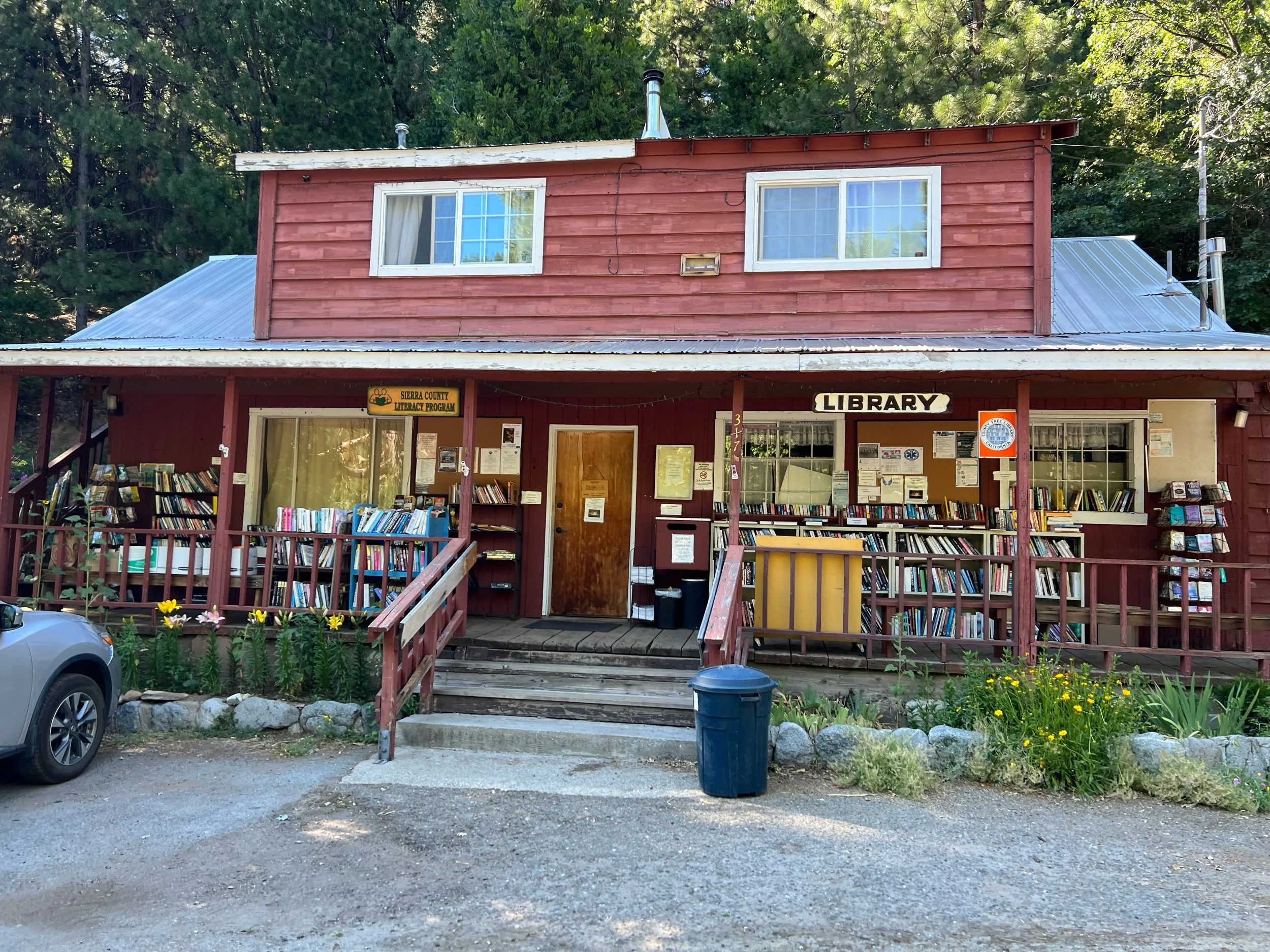
We didn’t stop in Truckee, the town, as we had about 50 miles to Sierra City. It’s unclear how Sierra City got its name, because, with a population of 225, I don’t think it can be characterized as a city by any standard. We only stayed one night in Sierra City, but it was worth the visit. The town consists of a post office that’s open for about 4 hours a day, a general store, the Red Moose Cafe, a library, and the Old Sierra City Hotel. Nothing in the town is open after 5pm, but Rob, the manager of the hotel, which housed miners in the 1800s, called the owner of the general store, who agreed to let us in so we could get cold drinks and late-night snacks. And, the next day, before our big climb out of town, another hiker’s parents provided hikers with sandwiches and fruit.
From Sierra City, we had a 75-mile section to Quincy. This was our first look at a major burn zone, the Bear Fire of 2020. Walking through a burn zone felt somewhat like a dystopian universe, with black tall remnants of trees standing starkly against the blue sky. As you walk there are also some signs of regrowth, as this fire was two years ago. Thankfully, not all of this section was burned, and we saw beautiful greenery and flowers and were able to cool off in gushing creeks and rivers.
This was where the trail started to get hot and we got even dirtier. The temperatures neared or surpassed triple digits and the ground was so dry that dust gets everywhere. We did our first and only zero in Quincy, where we rented an AirBnB. Boy did we need that shower.
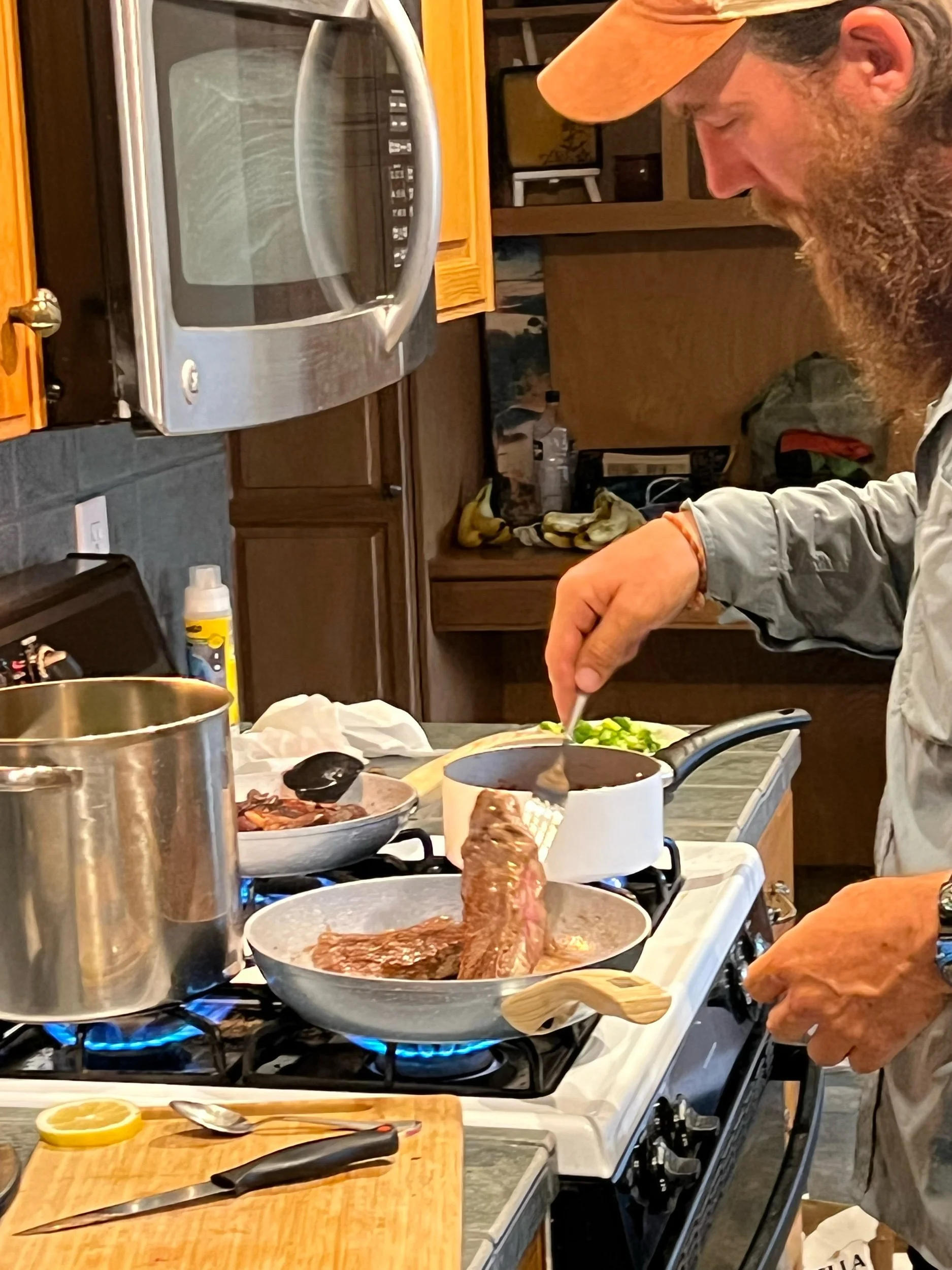
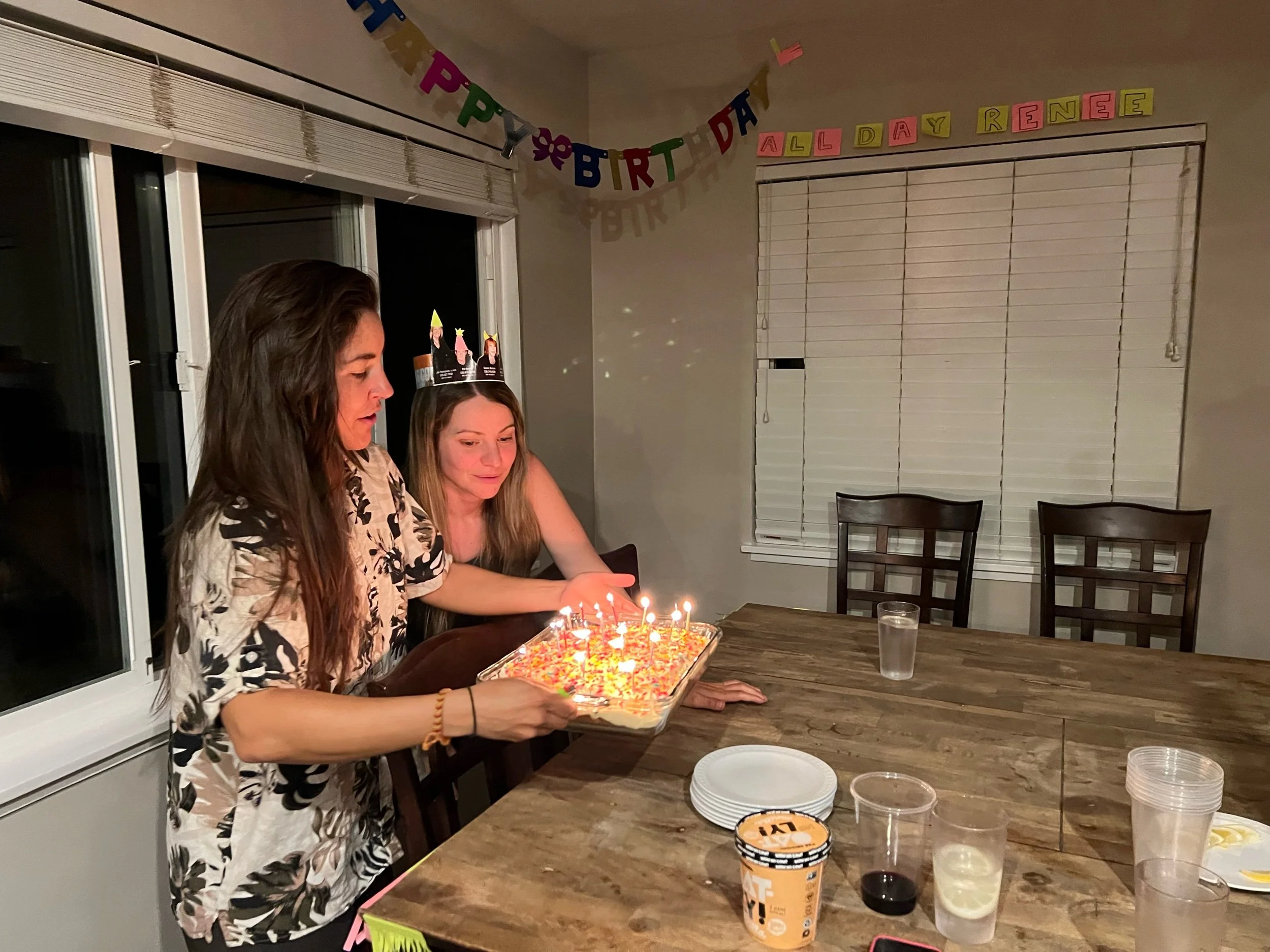
Quincy is a cute town, where the toy store gives free delicious ice cream to PCT hikers, with flavors such as lemon poppy and black raspberry and cookie butter. We ate well and celebrated Renee’s birthday, with Machine (who joined our group after Sierra City) cooking steak with a red wine mushroom sauce and Illy baking a cake. Despite her aversion to birthdays, Renee was a good sport and let us speak her happy birthday.
We left Quincy on July 20, with a decent climb and then a large descent into Belden Town. Belden is not a real town, but consists of a bar and a store and is for sale for $5 million dollars. It’s a weird place, but a cold beverage is never a bad thing. The most depressing thing about descending into Belden is you can see what you need to hike the next day for the entirety of the decent — 5,000 feet over about 14 miles. Due to the soaring temperatures, we decided to head out for the climb around 5am, to beat the heat. Despite the climb, I had one of my better days, checking off a PCT achievement: 10 before 10 (10 miles before 10am). I made it with plenty of time to spare and even was able to soak my feet in a creek. The biggest achievement for me wasn’t hiking the climb pretty fast. It was waking up at 4am. We ended up hiking exactly a marathon, crossing into the southern Cascades, finishing about 8:30 that night. It was a long day of hiking, to say the least. Despite being exhausted, having hiked from 5am to 8:30 pm, I felt like suddenly acquired some hiking superpower.
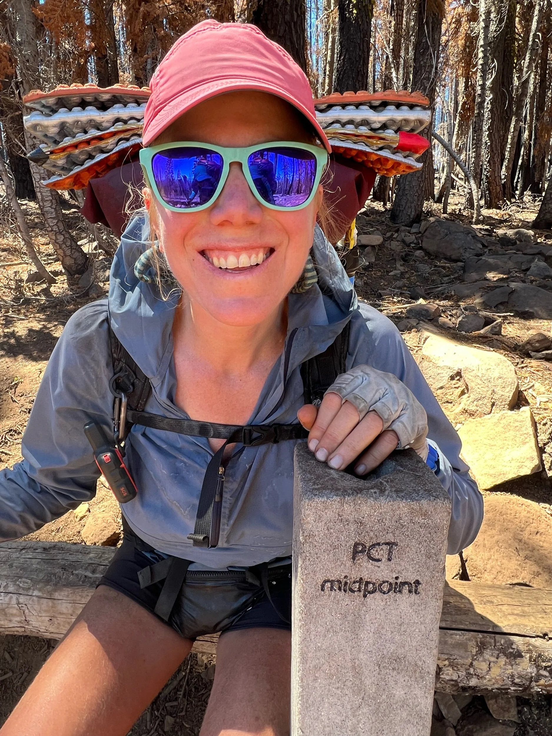
July 22 was a big day. We hit the PCT midpoint, at least in terms of miles. So of course we made a music video to Livin’ on a Prayer, both in English and in Czech, for Slay. This required a lot of effort, as memorizing even one line of Czech seemed more daunting than anything we’d hiked so far. The English version can be found on my Instagram page. I can send you the Czech version if you’d like to see us being idiots.
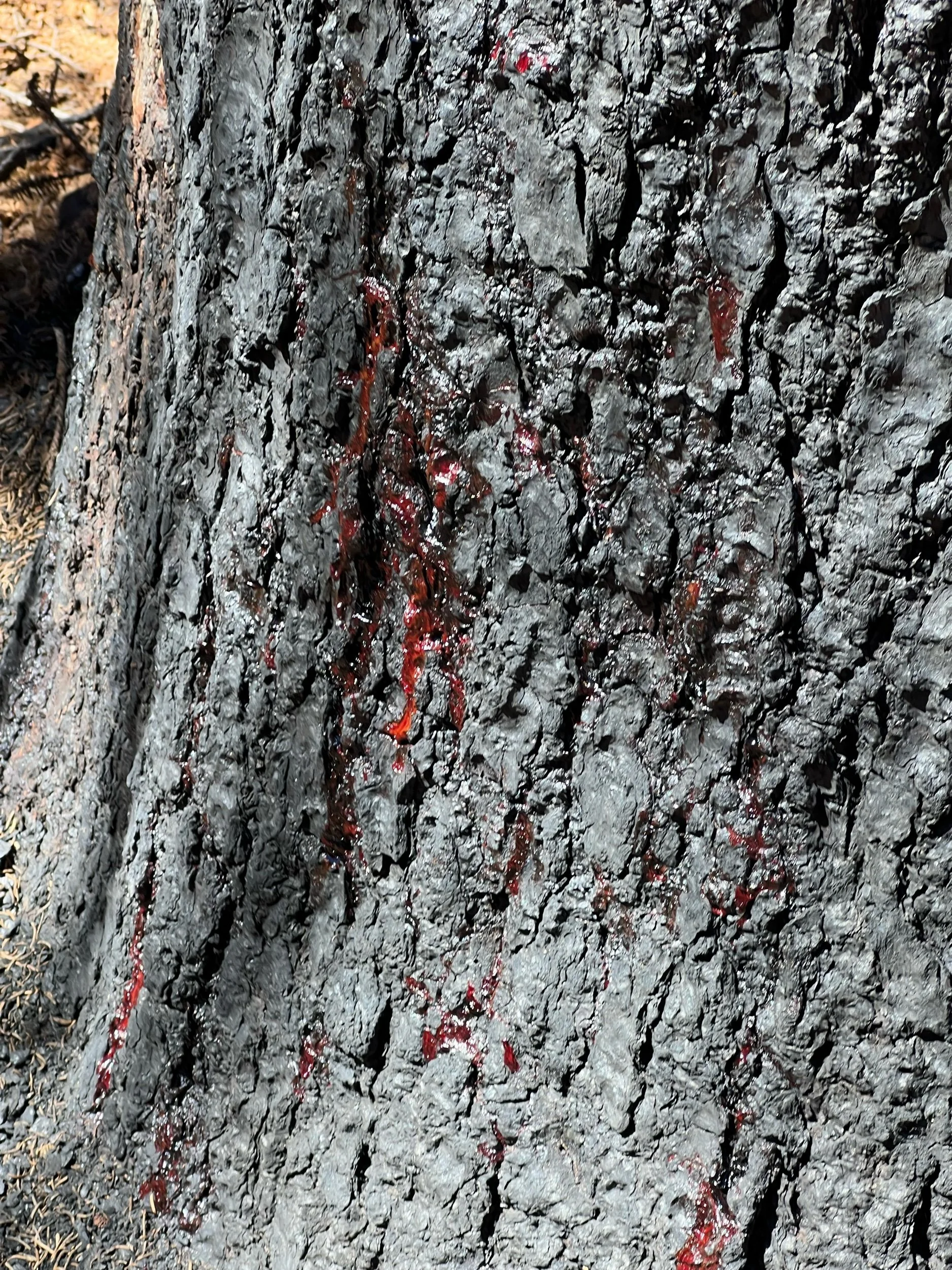
The midpoint sits in the beginning of the Dixie fire zone, which is even more dystopian than the previous section, with the trees literally bleeding. In this section, we needed to plan our campsites carefully, to avoid camping near dead trees, as branches or the tree itself could fall at any time. I thought it was important to hike this portion of the trail (some skip it), partially because I wanted to hike the entire trail, but also to see what a fire can do. The earth looks scorched and entire forests are wiped out. When you finally reach a green area, it feels like heaven, with the air easier to breathe and the smell of life filling each breath, rather than dust and ash.
On July 22, we made it to Chester, which is right outside of Lassen National Park. We got to Chester in the early evening and were filthy and sweaty, as temperatures were now in the triple digits. We got dinner, showered in the public, coin-operated showers, and slept in the public park. You had to be careful where you slept, as some made the unfortunate mistake of camping a bit to close to the sprinklers (which no one in California should be allowed to have given it never rains here, but I don’t make the rules). There’s a fine line between being a thru-hiker and being homeless. I’m still trying to find where that line is.
After resupplying our food the next morning, we got a ride back to trail.
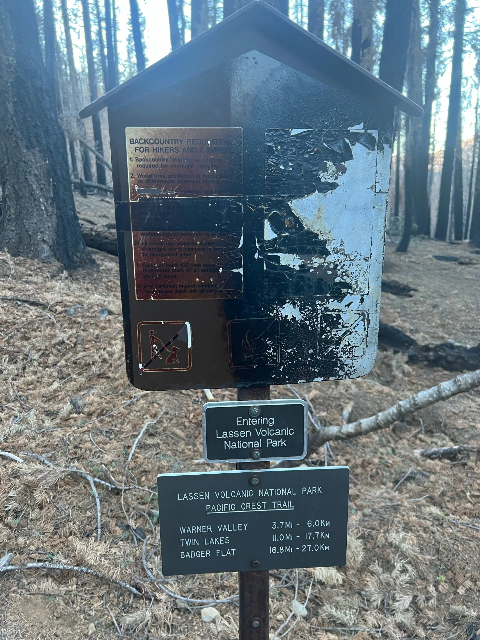
After leaving Chester, we entered the worst of the Dixie Fire burn zone. Our goal was to camp right outside of Lassen National Park, about 15 miles from the trailhead. There are 19 PCT miles through Lassen, but we could not camp there, as bear canisters are required. I don’t think bears know national park boundaries and I don’t think any bears currently live there given the hellscape the Dixie Fire created, but we and all other PCT hikers I know followed the rules. This was the dirtiest and sweatiest stretch of trail so far. It was so incredibly hot, often exposed because all the trees were burnt, and filled with dust and black ash. It was a shame to see Lassen burnt to a crisp, but the Park’s geysers and boiling lakes still amazed.
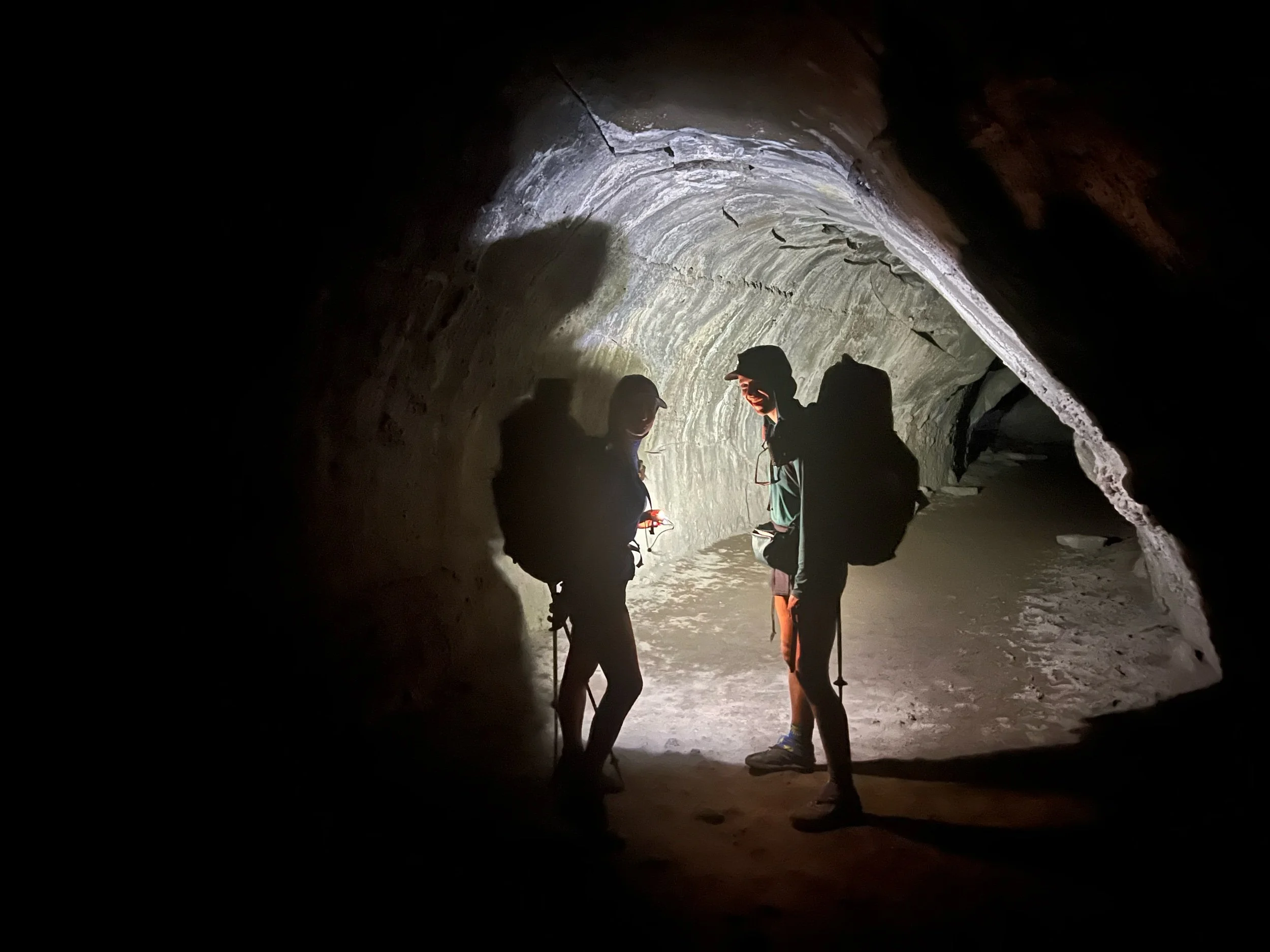
On July 25, we reached Old Station, the end of the Dixie fire burn area. Old Station consists of a gas station/convenience store, one restaurant (JJ’s), and a post office. We were hoping for breakfast at JJ’s, but it was closed so we hung out outside the convenience store, drinking cold beverages and preparing for a long, hot day, with temperatures expected to be 105-110. First, we checked out the Subway cave, a long tube caused by lava flow, which is about a half-mile off the PCT. After mingling with the curious tourists, we needed to sort through our water strategy. We were concerned with how much water we’d need to carry because there was only one actual water source, a steep 400-foot .3 mile climb about 8 miles in, and a possible cache. But we weren’t sure if the cache was filled, so we might have a 30-mile water carry in 100+ degree heat. Not fun. I managed to avoid the steep climb by cameling up, conserving my 3.5 liters of water and sitting at the shaded area near the steep side trail to the water. By doing this, lots of hikers just kept offering me their extra water that they didn’t need or didn’t want to carry. I was quite happy. I didn’t need their water, but I was quite happy not to have to ration mine, as I drank up in the shade. Perhaps it’s mooching or perhaps it’s just working smarter, rather than harder. 🤷♀️
We all sat there from about 2-5:30, as no one could hike in the heat of the day. This is when the night hiking began. We’d siesta during the middle of the day, and hike in the early mornings and until about 10/11 at night. I don’t love night hiking because it’s a little creepy and I need time to decompress at night, as I can’t fall asleep otherwise. Plus, even though I see the rocks in the trail, my feet somehow always manage to clip them, causing me to stumble forward. Despite tripping countless times, my feet’s depth perception is just a bit off. Thankfully, I haven’t broken my toe (yet) or fallen on my face (yet), but I’ve come very close to both. On July 26, we made it to the town of Burney. I was absolutely disgusting, having hiked through scorching heat, dust, ash, and general dirt. I never needed a shower more.
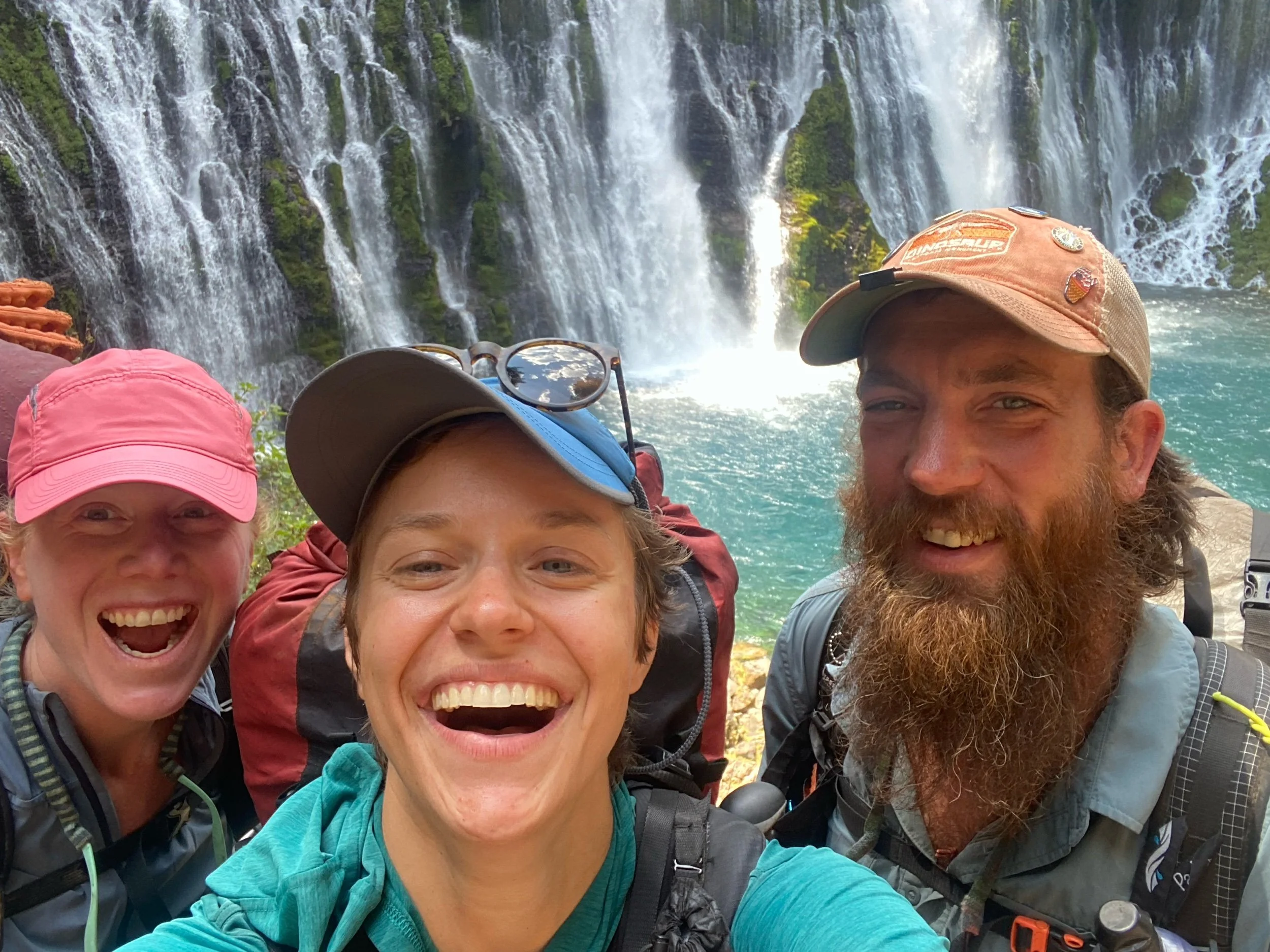
The next section was Burney, to Mount Shasta, the last section we were able to complete of NorCal. This section was beautiful, but hot. Sensing a theme yet?We had finally reached what we considered to be a relatively easy stretch of trail, only to be met with triple-digit temperatures each day. We still managed to get in at least 25 miles most days, even with sitting out the worst of the heat. The star of this section was Burney Falls, an incredible waterfall, right off the trail. The constant views of Mount Shasta were a close second.
I stopped hiking at about 10pm the night before we got to the town of Mount Shasta. I was amazed at how good I was feeling and that I knew I could hike even bigger days. I wanted to see what I could do. I had found my hiking rhythm. We were almost out of California. I couldn’t believe it. Then, the next morning, we got cell service and learned of the McKinney Fire. So, we had to leave the remainder of California and most of Oregon behind for another day. The 1500-mile marker will have special meaning, as it’s the last consecutive mile marker I will hit on the PCT.
p.s. Apologies for the rambling length of this post… I haven’t had much time to write, let alone edit! I hope I did NorCal justice… it was a lot to fit into a single post!
The Earth, On Fire
I had been planning on finally writing about miles 1090, to 1500, semi-apologetically for my lack of updates, explaining that Northern California had been a bit of a blur of long days of heat-drenched miles. I had been planning on writing how I finally felt like I found my hiking rhythm, walking 25+ mile days, transitioning from the low Sierra to the southern Cascade range. I had been planning on writing with my excitement about nearing the California-Oregon border, achieving one of the biggest milestones of the trail—walking the entire length of California. But then, about 190 PCT miles shy of the Oregon state line (about 7-8 days of hiking, give or take), California and Oregon caught on fire. The McKinney fire was first, the biggest fire this year and just north of me. It’s already consumed more than 50,000 acres of land, killed residents trying to escape, forced people in the surrounding towns to evacuate, and displaced or killed thousands of animals. The PCT passes very close to the fire zone, and the section from Etna, CA, to Ashland, OR is closed. Smoke fills the air from Mount Shasta to Ashland. Just as we were preparing to skip up to Ashland, we learned of another, smaller fire just north of Crater Lake, the Windigo Fire. This fire is directly on the trail. And, just north of Bend, a 40-mile stretch of trail is closed due to a previous year’s fire. Given all the current closures and the logistical nightmare of hiking small sections and finding rides to the next open section, we made the decision to skip up to Timberline Lodge, just south of the Oregon-Washington border and hike Washington. Once I finish Washington, I am hopeful I will able to hike Oregon.
Getting up to Timberline has been a logistical feat and an experience in human kindness and generosity. First, extended family of my friend, Pickle, drove from Medford, OR, to Mount Shasta, and drove us all to Medford. Then, they hosted 8 hikers in their house for two days, feeding us and taking us to stores so we could resupply our food. They drove us all over town and opened up their home to us, as if they had known us our entire lives. Then, we rented cars (I think we got the last of them), and drove to Star Camel’s childhood home, just east of Portland. His parents fed us, let us stay in their home, and drove us to Timberline Lodge. My friend, Abby, who lives in Portland, was also ready to drop everything to help with rides. Many hikers were spending hours finding rides and coping with canceled buses and full trains.
While I’m disappointed that I won’t have a continuous northbound footpath of the PCT and reaching the northern terminus will feel different and less satisfying, this seemed to be the only realistic, safe option. It feels different driving to a place, rather than walking through the transitioning nature. I also will miss my parents and sister, who had planned to come to Bend, OR. I will miss Crater Lake. And I will miss that feeling of walking the entire length of California. I think, each year, the PCT will get harder and harder to hike in a continuous path. Unless you are lucky with the timing, the drought that has plagued the West will continue to make the fires worse. Despite my disappointment, I have to keep reminding myself how lucky I am. I didn’t lose my home. I didn’t lose my business. I didn’t die trying to escape a fire. And I’m still able to hike.
I will try to write about NorCal when I have some time. But for now, I am going to get back on trail and see what Washington has in store. ❤️
Not how I envisioned getting to Oregon (from the I-5)
Despite not having hiked for three days to deal with the fire, this is how I currently feel.
1,000 Miles
I’m currently in South Lake Tahoe and have now walked 1090.8 miles of the PCT. It’s hard to believe I’ve walked over a thousand miles, yet I’m still in California and still have more than 1,500 miles left to go. But, the 1,090 miles I have walked seem like a lot, particularly because I finished one of the hardest sections of the trail — the Sierra. The last 11 days were particularly challenging, filled with steep and rocky ascents and descents, mostly devoid of connection to the outside world, and swarming with mosquitoes. But they were also filled beauty, allowed us to realize our physical and mental resilience, and showed us how important we are to each other. In the last eleven days, we only had a short half-day pit stop at Kennedy Meadows North on July 4.
I never wanted to get off trail or even considered it, but I think I struggled more mentally and emotionally during this last 11-day stretch than I have all trail. While in this section, you don’t have access to any of your normal coping mechanisms to alleviate whatever issue is plaguing you. You have nature and your trail friends. Sometimes, being alone in the mountains is comforting and the space apart is needed and curative. The air is crisp, the birds are singing, and the views continue to stun. But, if you spend too much time alone, no matter the beauty of the wilderness, you (or, perhaps, I) start to go insane.
This is where your trail family comes in. I think I’ve found the best family on the trail. It’s not to say that it’s rainbows and butterflies all the time, but the seven amazing people I’ve been hiking with are my friends and family out here. They are my support when the going gets tough. And the going does get and has gotten tough. Each one is different, unique, funny, kind, smart, and, perhaps, most importantly, someone I would never have met, if not for the PCT. Each has taught me something and showed me a view from a different perspective. There’s Renee, a 5’2’’ mountain biker from the Canadian Rockies who has the strength of someone twice her size. Illy is a former lead singer of a band who educates us all on the California mountains and is one of the toughest people I know. Big Spoon paints giant murals, will always have on the best color scheme, and also makes award-winning videos from his tent with only his iPhone. Star Camel recently graduated from college, but you’d never know it. He also finds time to make guitars, as well as smoked and cured meat (I’m looking forward to the day he starts his charcuterie business). Pickle is an illustrator with a penchant for romance novels and a personality to match the quality and robustness of her trail food choices. Slay, a nurse, who hails from the Czech Republic, has immunity to pain and can make the best caramel sauce I’ve ever tasted. Finally, Squeezy has the best dance moves, strangest trail food combinations (Cheeto-salami burrito, anyone?), and a special knack for bringing a smile to anyone’s face. Big Spoon took portrait photos of each of us, save for himself. I’d trust any of these seven friends to save me from a bear, which I might need them to do in this next section (I’m serious—the bears from Tahoe to Truckee are the smartest and most habituated bears on the trail.).
In honor of us crossing the 1000-mile mark, Big Spoon put together this music video (yes, from his tent). Thank you, Vanessa Carlton for singing this song. I’m not sure how else we could have memorialized this moment, if not for the fourth most popular song of 2002.
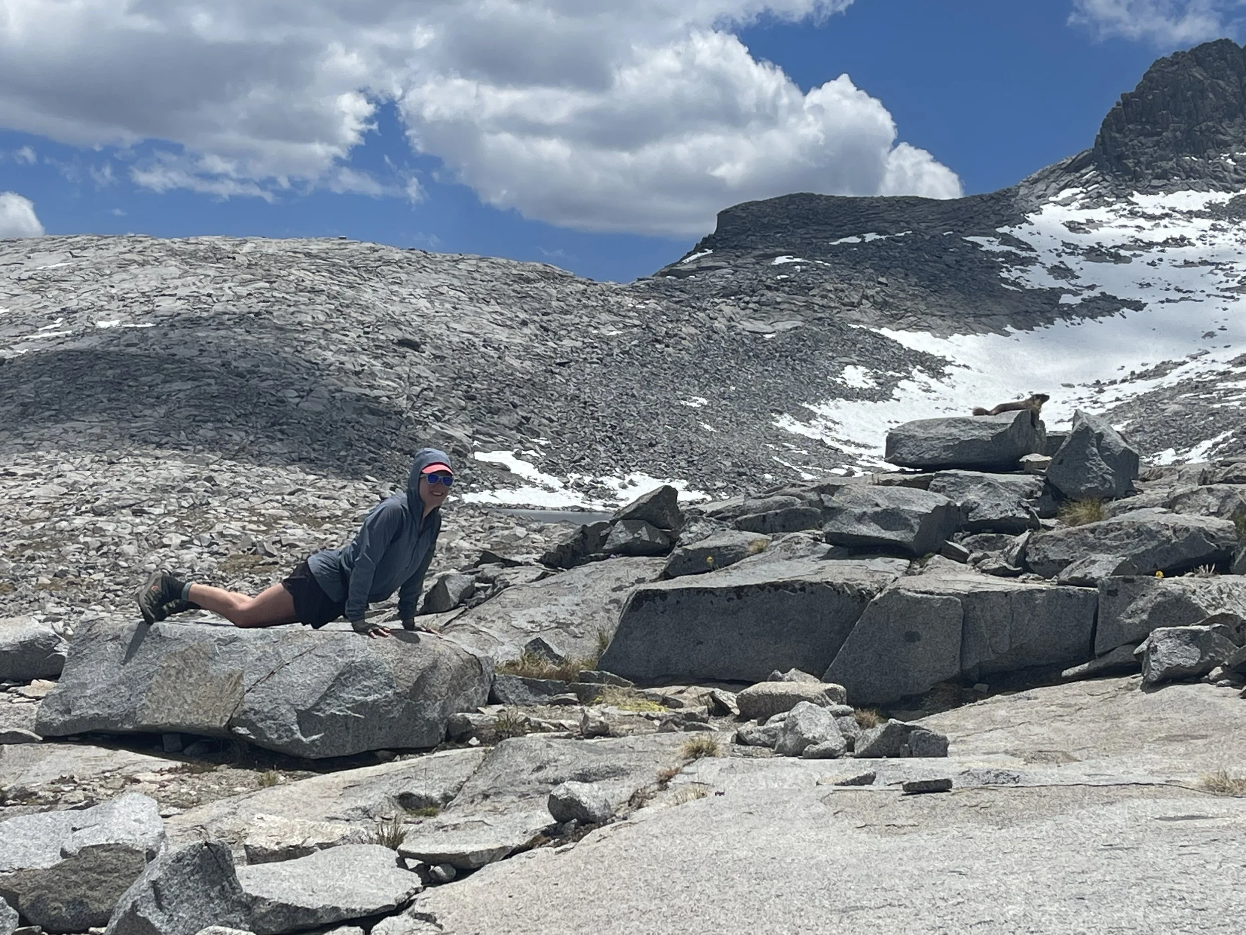
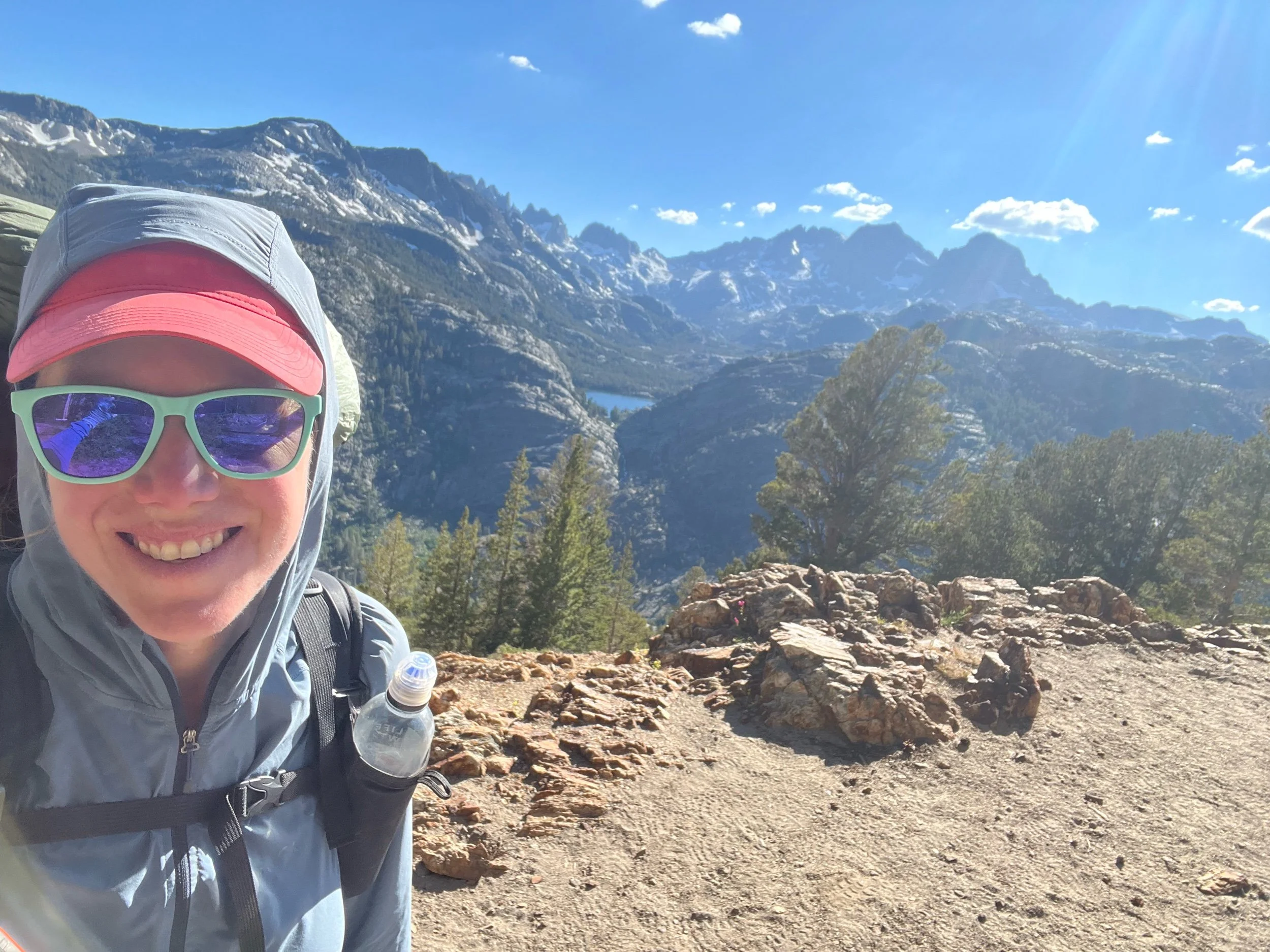
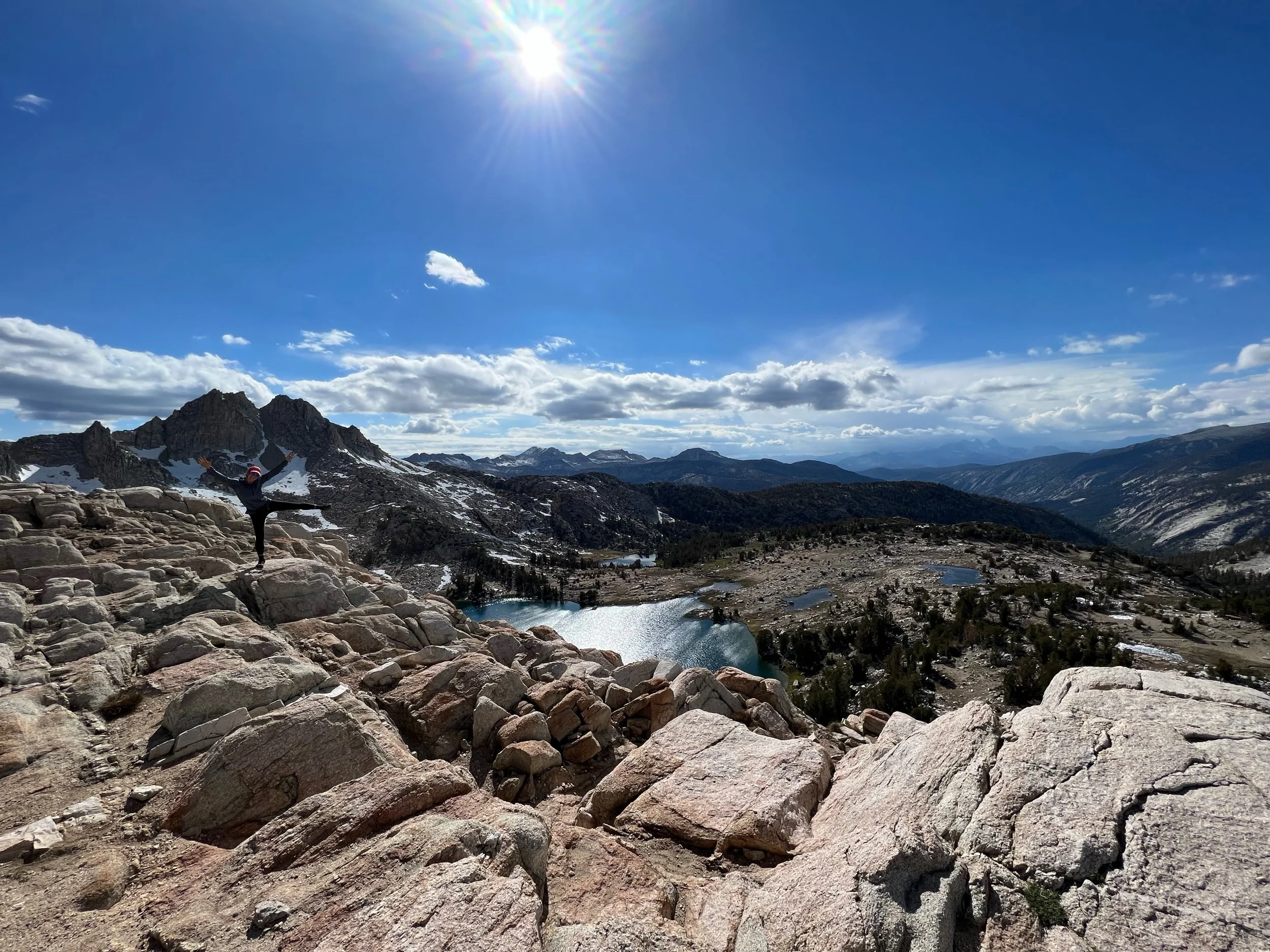
So what did we actually do over the last eleven days besides make a music video? We hiked. A lot. We saw mountains, alpine lakes, waterfalls, and animals. And then some more mountains, alpine lakes, waterfalls, and animals. Eleven days ago seems like an eternity, having covered close to 200 miles. I’ll do my best to recount those miles, but it pretty much boils down to hiking, seeing mountains, lakes, waterfalls, and animals, and eating dehydrated and non-perishable food. And then doing it again. And again. But thankfully, those mountains, lakes, and waterfalls are quite beautiful and the animals are quite cute. In addition to all-encompassing beauty, cute animals (the marmots in particular), and fun (mostly of the type 2 variety), we’ve made it this far, so we keep on walking, despite the pain, despite the terrible food, and despite the unyielding mosquitoes, my mortal enemy. And, in case you were wondering, marmots are my new favorite animal, perhaps because they have the same coloring, body type, and waddle of my cat, Mari. The photo below is me, trying to mimic a marmot. What can I say, the normal poses at the tops of mountains get boring after 10,000 of them and removal from society does things to your brain.
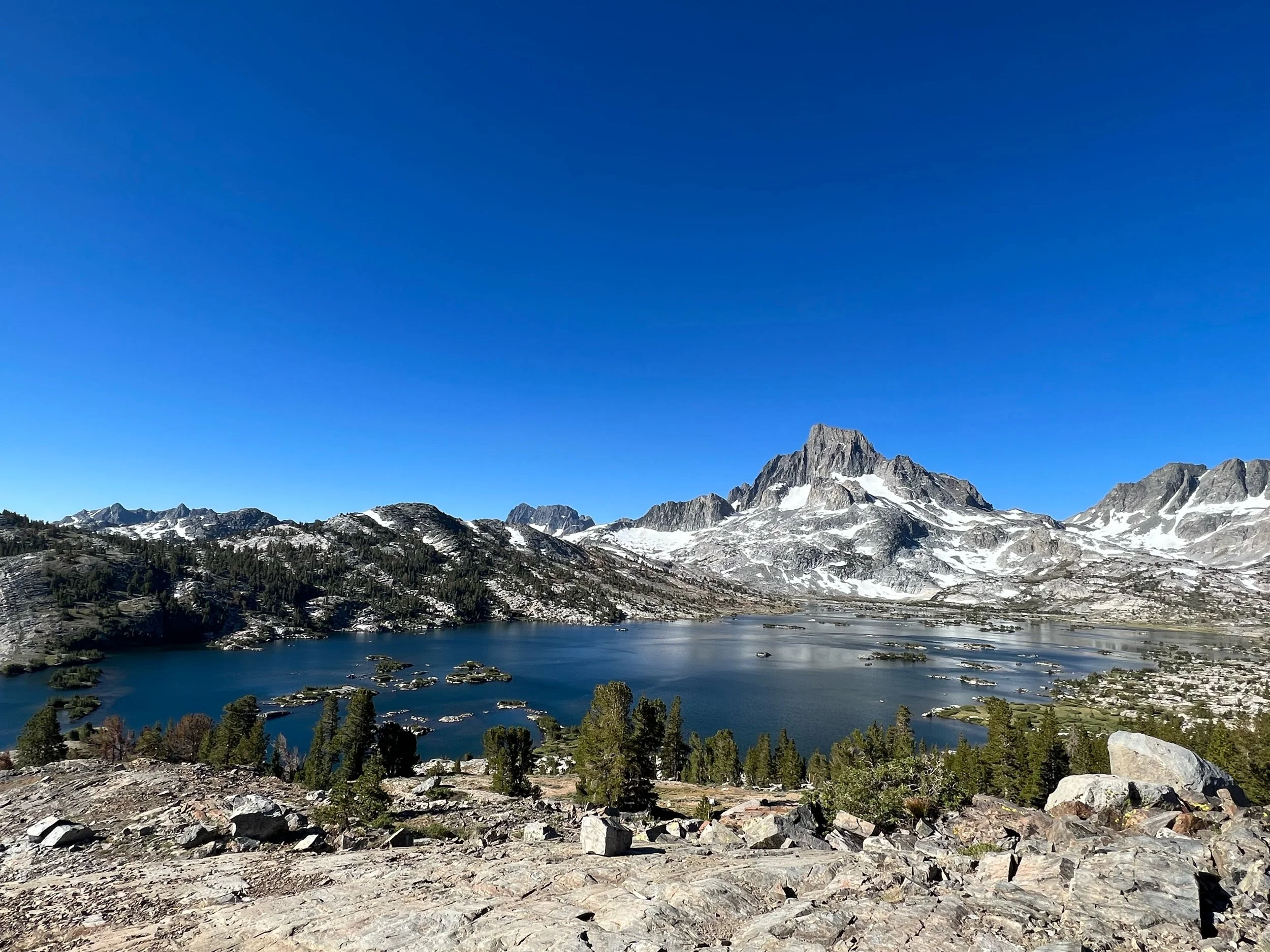
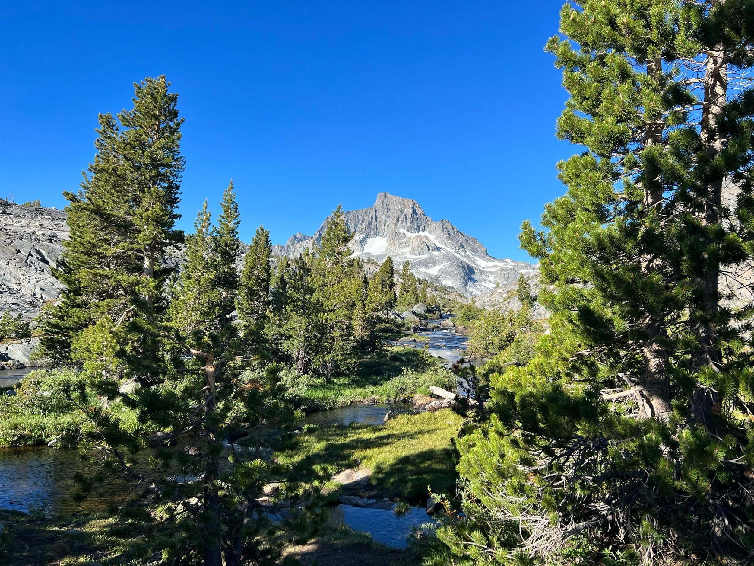
On June 28, we left Mammoth. After a small detour past Devil’s Postpile and walking far enough to leave the day hikers far behind, we reached Ansel Adams Wilderness. It’s not a surprise someone decided to photograph this place. Ansel Adams probably did a better job at capturing the landscape than I, but it would probably be some form of cheating to insert his photographs here. Thankfully, it’s pretty hard to take a bad photograph given the subject, even though no photograph (at least no photograph of mine) could capture the grandeur of this part of the world.
On June 29, we walked into Yosemite National Park, after crossing Donohue Pass, at mile 929.6. The PCT runs through Yosemite until mile 997.1, at Dorothy Lake Pass, the northern most entrance to the park. It’s not surprising why these were the borders for Yosemite. The scenery simply changes, dramatically. Not that one side is more beautiful than the other. It’s just completely different. I don’t know enough about geology and earth science to know exactly why — probably something to do with volcanos, glaciers, and tectonic plates — but Yosemite is marked by sheer granite rock formations and gushing waterfalls. And at Dorothy Pass, that just ends. The colors of the mountains change. The signs of lava become more pronounced — it almost looks in certain places that the lava was bubbling up, but froze in place. Yosemite was by definition stunning, but the PCT does not go through the most popular places in the park (Nevada Falls, Half Dome, El Capitan, etc.). Rather, it goes through Tuolumne Meadows and then through the more remote sections of the park. While Tuolumne was flat and has a small store along the way, the rest of Yosemite may have been some of the most challenging hiking we have done so far. It was constant up and down steep ascents and descents. We would climb up 1,000-2,500 feet, only to go all the way back down, having to watch each step because of the steep granite rocks that someone called a trail. Once you reach the bottom, you do it all over again. And, while we all craved a rest, stopping allows the mosquitoes to swarm. And the Yosemite mosquitoes are a special breed. There are so many of them that they don’t fear being killed. They must know they are so numerous that their species will live on no matter how many die trying to eat a human. So our breaks became shorter and far less restful. Sorry, legs.
Tuolumne Meadows, surprisingly no bear sightings.
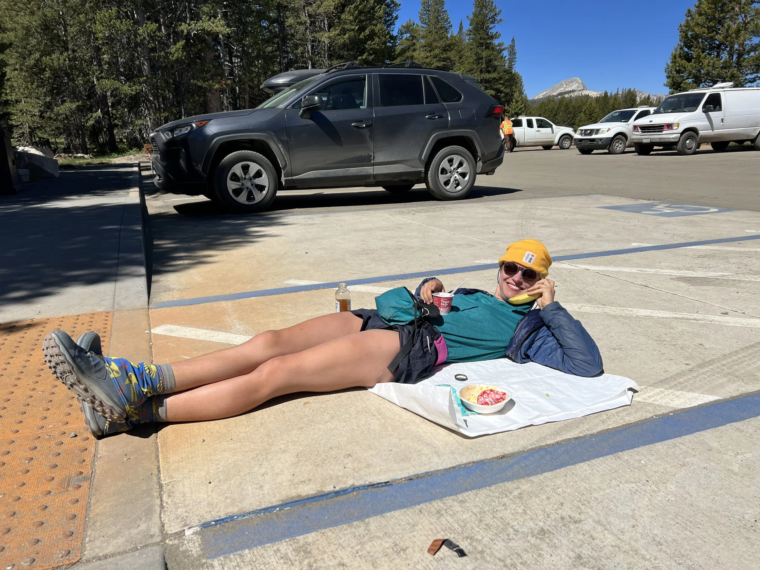
Pickle canceling her 10 o’clock conference call from the Tuolumne Meadows General Store parking lot.
Here are some other photos from Yosemite, just some more mountains, lakes, and waterfalls.
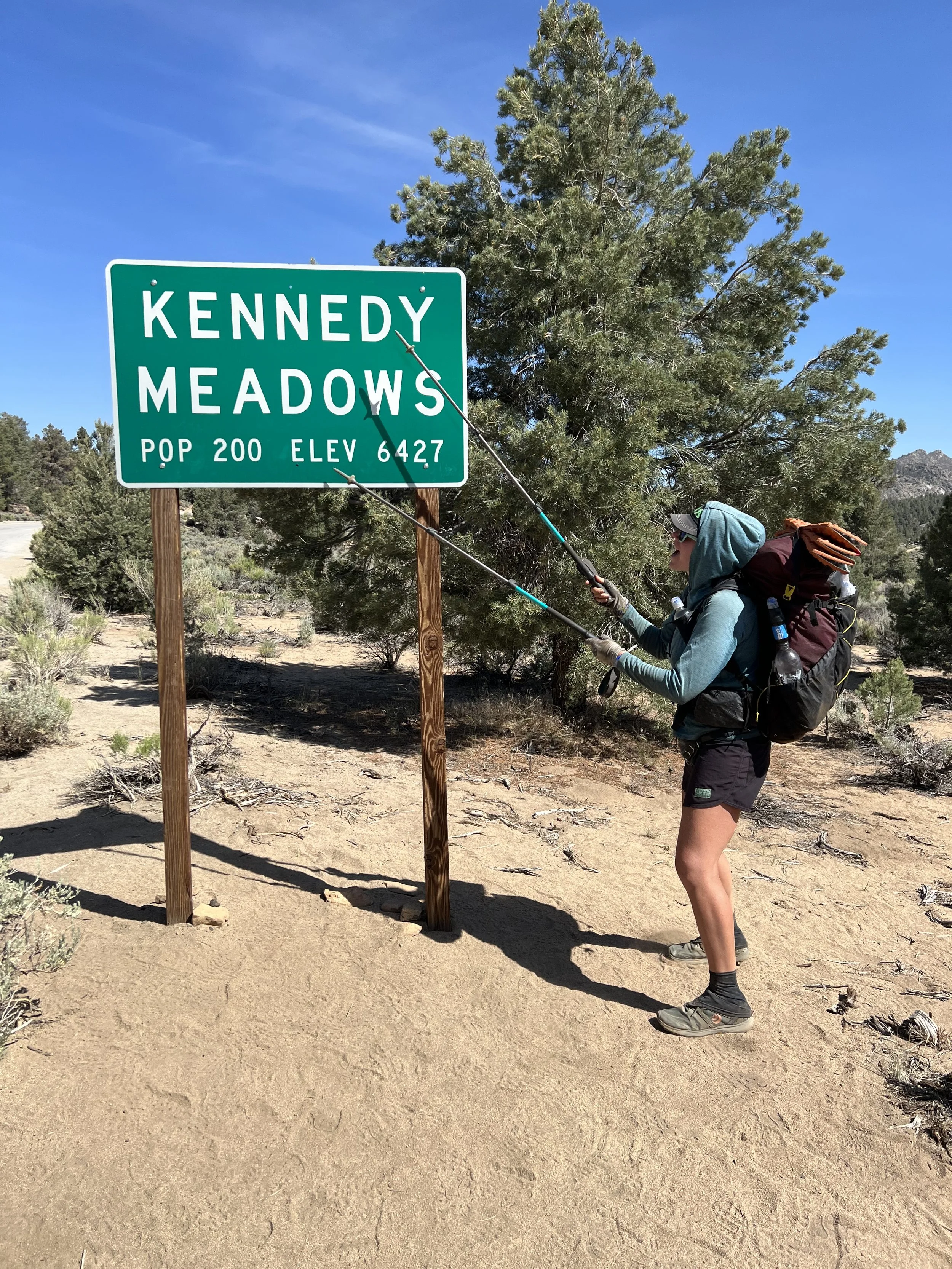
After exiting Yosemite, we made our way to Kennedy Meadows North (not to be confused with Kennedy Meadows South, at mile 700), which we hit on July 4. We ran through those last 10 miles on July 4 because we heard there would be trail magic awaiting us at the trailhead. And there was. I don’t even drink soda in my normal life, but an Orange Crush soda never tasted so good.
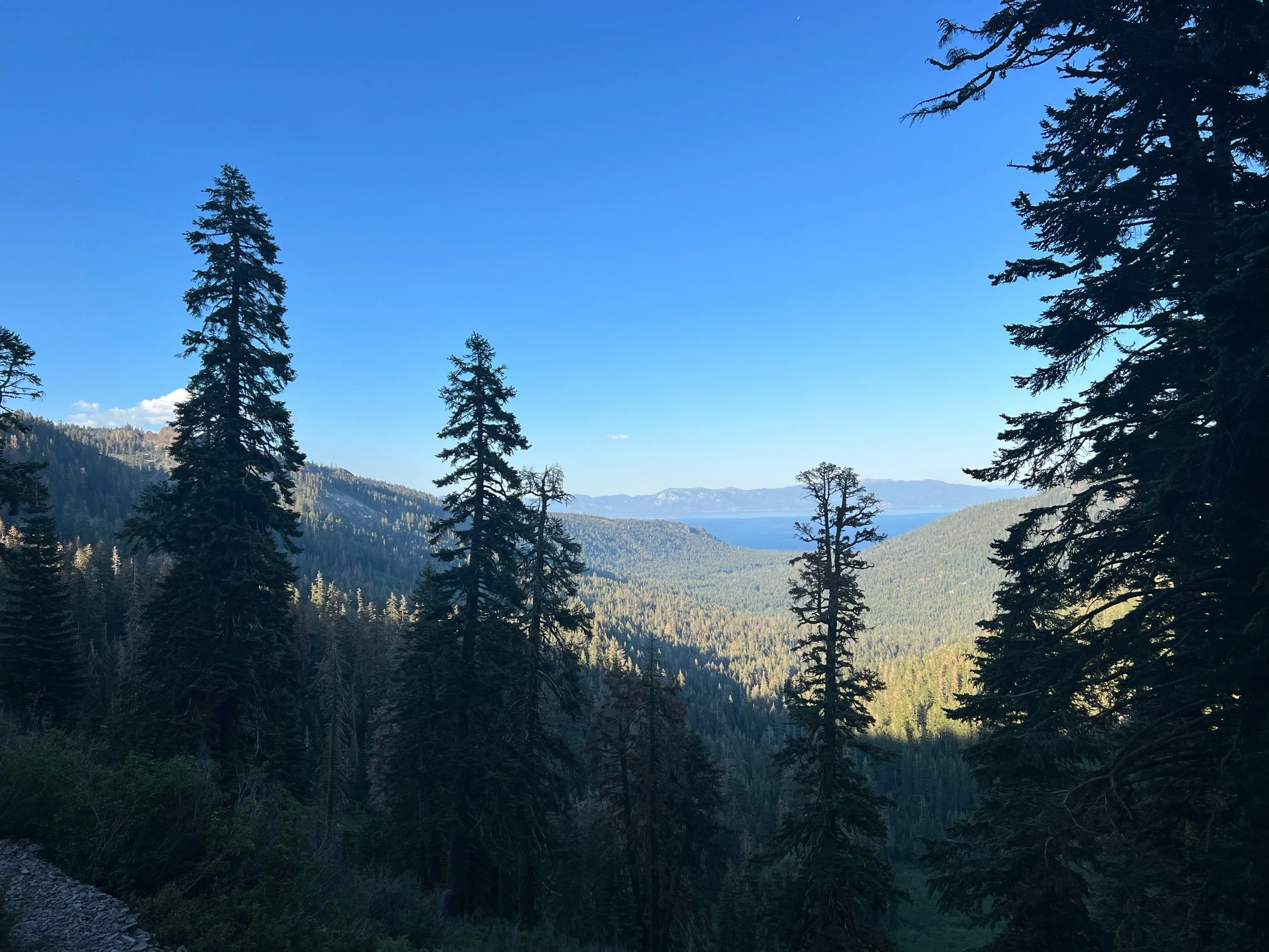
After resupplying at Kennedy Meadows North, we left to make our way to Lake Tahoe, the end of the Sierra section of the PCT. We all enjoyed this section. The hiking was not easy, but it got easier. We were hiking 20+ mile days. While tired, we were finishing before 7pm. We were taken aback by the change of scenery, the other-worldly rock formations, the abundance of wild flowers, and the respite from the mosquitoes. On July 8, we made it to South Lake Tahoe, a beautiful, but overpriced town, possibly due to a celebrity golf tournament (unfortunately, I had no run-ins with Justin Timberlake or Steph Curry).
Tomorrow, July 10, we start the Northern California section of the PCT. This is where will have to pick up the pace to 25+-mile days, to try to avoid the height of fire season and finish by sometime in September. I’m told 25-30 mile days is now possible given the easier terrain and our Sierra legs, but it still seems unfathomable to me.
That’s a wrap for miles 906.6-1090.8 of the PCT. I think my next break will be Quincy, California, at mile 1268. Hope to update then! ‘Til I get a rest… ❤️
Glen, Pinchot, Mather, Muir, Seldon, and Silver (plus Kearsarge, again)
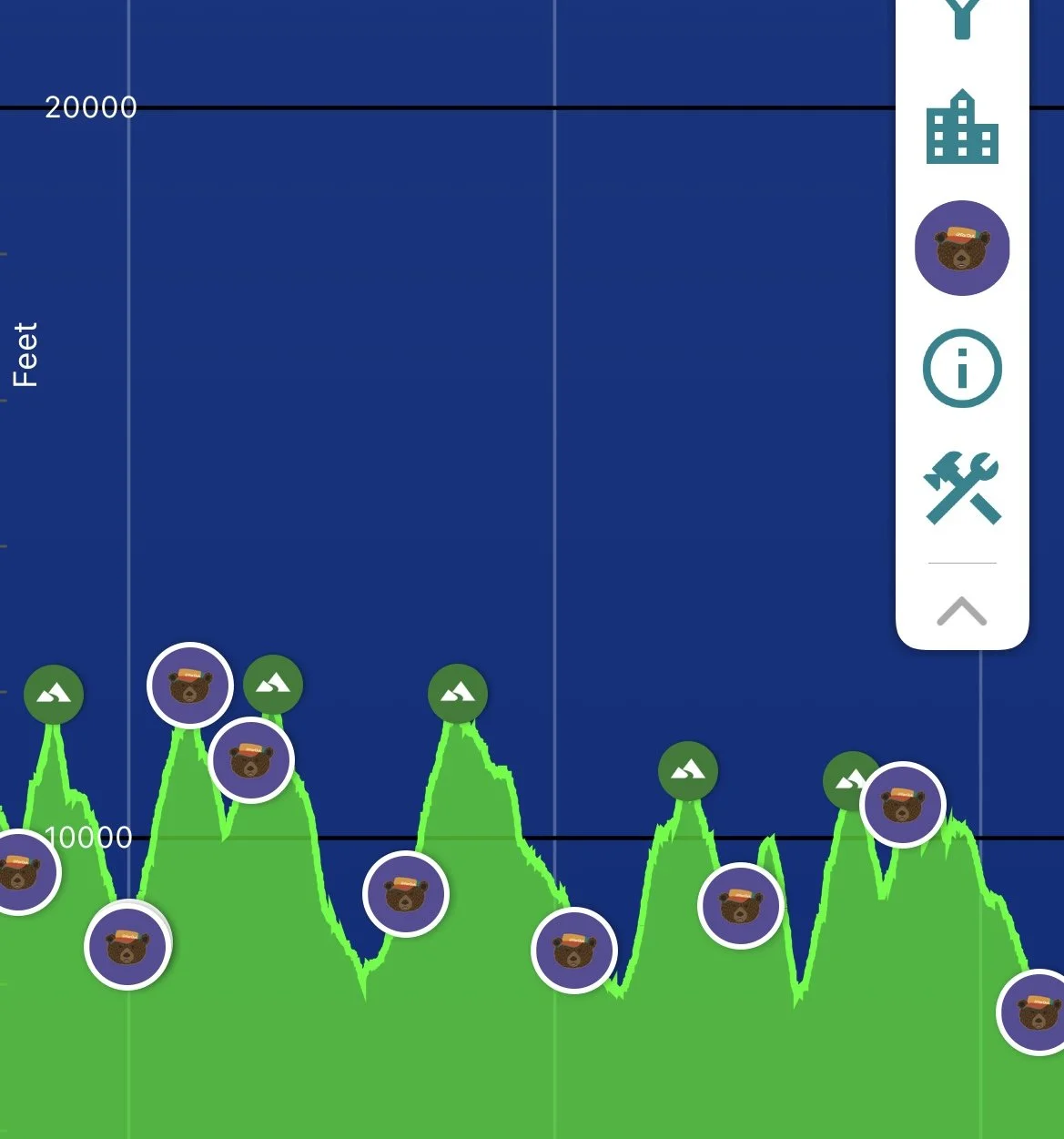
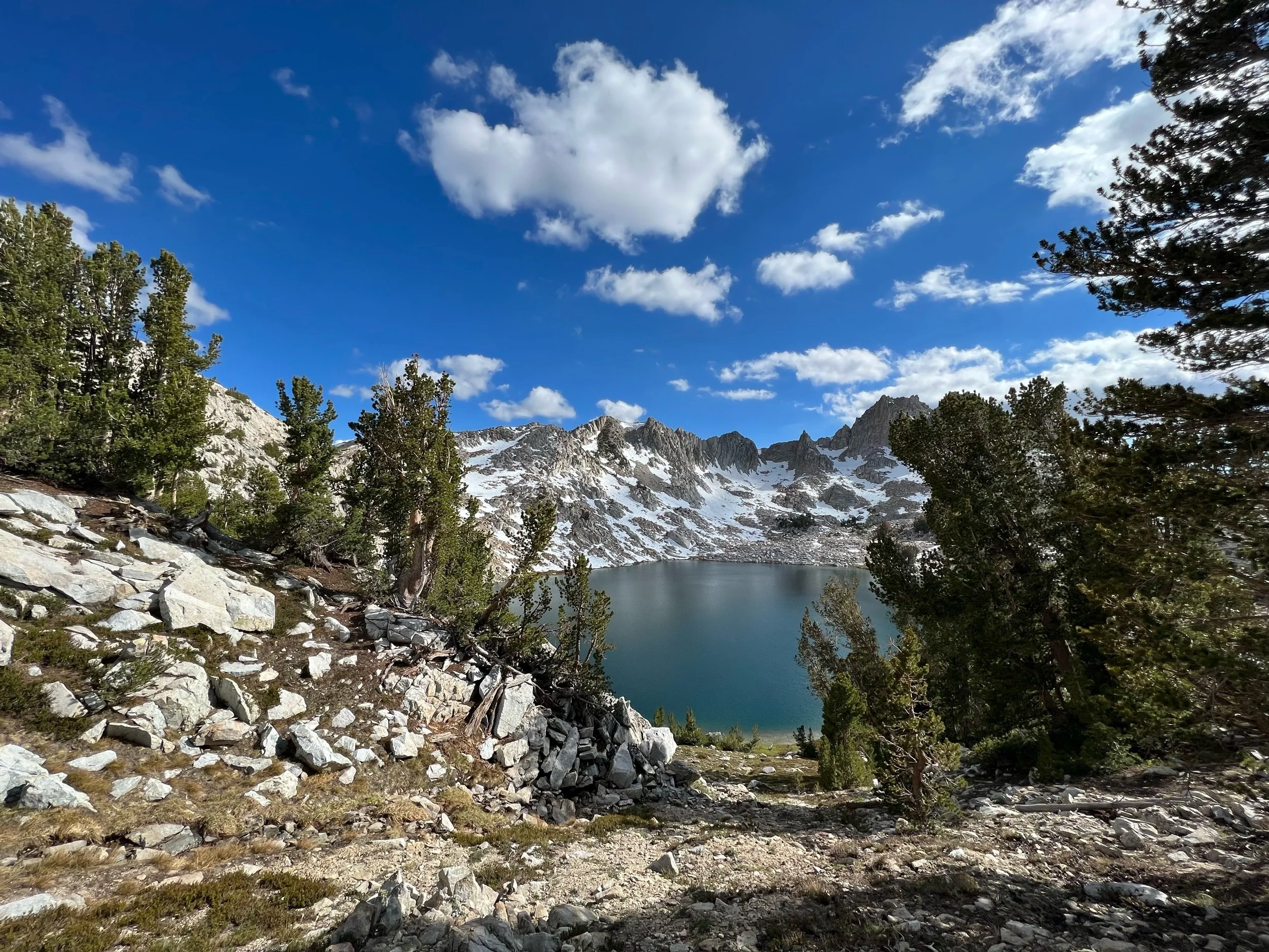
Pass. Pass. Pass. Pass. Pass. Pass. Pass. Not other people. Mountains. Each day, another mountain pass. It was the most physically demanding, most remote, and most beautiful week on trail. Seven days with no internet, seven days filled with thousands of feet of ascents and descents, and seven days of traversing mountains to be greeted with sparkling alpine lakes, snow-covered granite peaks, and chubby marmots. As I hiked this week, I had many profound thoughts, including that it’s probably not possible in one lifetime to witness too many of these views, but there is probably a limit to the number of photographs other people want to see of them. I’ll try to write with that thought in mind…
A visual representation of the last week. Each peak is a pass. My legs were tired.
The start of this last section seems like ages and many miles ago. We were supposed to leave Bishop and head back on trail on Friday, June 17. However, as we were leaving, a storm was rolling in, so we decided to stay a night in Lone Pine, California, as it is a little closer to the trail than Bishop. If you’re a fan of Westerns, your favorite was probably filmed in Lone Pine. Lone Pine was also the site of Manzanar, a WWII Japanese internment camp. Unfortunately, I had only about 12 hours in Lone Pine so I did not have time to visit the museum, which is supposed to be quite good and worth a visit. But, we did find time to eat dinner at the Chinese restaurant in town because when in Rome….
Now to the hiking. We left early the morning of June 18. We needed to make up miles because we were leaving a day later than planned. Plus, we had booked an Airbnb in Mammoth, CA, starting the next Saturday. To get back on trail, we had to climb Kearsarge Pass, again, and walk more than eight non-PCT miles that we had already done in the opposite direction. By early afternoon, we were back in business and needed to climb and descend Glen Pass. It was a long, but beautiful day. We reached our campsite at mile 799, at 8:45 that night, right as the sun had fully set. Glen Pass is nearly at 12,000 feet, and we had to descend to 8,500 feet for camp. It was a full day of hiking, I was exhausted, and I couldn’t believe I was going to do it again the next day, and the next, and the next, and the next, and the next, and the next. Climb, descend, climb, descend, climb, descend. While my legs and lungs were tired, this was an indescribably stunning stretch of trail, filled with the Rae Lakes. I wanted nothing more than to sit by these lakes and take it all in while not walking, but I was hungry and tired, needing to get to camp so I could climb and descend the next day.
I probably didn’t get to sleep until after 10pm that night, which is equivalent of about 2am in normal people time. It takes time to set up camp, cook, and get ready for bed. So, I got a bit of a later start on June 19. The big question was whether we were going to tackle both Pinchot and Mather Pass that day or save Mather for the next day. I would make the call when the time came. Pinchot seemed like the never-ending climb. Perhaps it was the altitude, but the pass just kicked my butt. We had to climb from about 8,500 feet, to over 12,000, in about seven miles. By the time we reached the bottom of Pinchot (down to 10,000 feet), I knew I didn’t have it in me to climb and descend Mather in that same day. If you decide to climb a pass of about 12,000 feet, you also must give yourself enough time to descend at least about 2,000 feet, (a) to find a suitable flat space, and (b) to try to get below 10,000 feet. We discussed what we’d do over a late lunch, and some of my tramily decided to try for both passes. I wasn’t one of them. Getting to the base of Mather seemed hard enough and I wasn’t even going to feign the ability to hike 20+ miles with two passes at this late hour. I was planning on trying to get to mile 815, two miles short of Mather. But, when I saw some of my friends camped at mile 814, also exhausted, I jumped for joy that I had implicit permission of sorts to settle in for the night and be in bed before the dark and cold set in. The campsite couldn’t have been prettier or colder. Well, I suppose it could have been colder, but that my water froze and frost formed on my tent seemed cold enough.
We got over Mather early the next morning, thanks to our new beverage of choice, the Mocha Pass. The Mocha Pass consists of instant coffee and hot chocolate and does wonders for fueling legs over mountains. Couple that with some ibuprofen for whatever body part is currently malfunctioning and you’re basically Superman. Hyped up on caffeine and my knee pain relieved by ibuprofen, I was back in hiking form. And I needed to be. The descent after Mather was about 10 miles long and nearly 4,000 feet back down. Muir Pass was next, another 10 miles back up to close to 12,000 feet. We needed to set ourselves up to tackle Muir the following day.
Mather Pass and its descent were beautiful, but perhaps the most challenging yet. This entire section of the trail overlaps with the John Muir Trail (JMT), a 220-mile trail from Yosemite, to Mount Whitney. The JMT is quite well-maintained and is characterized by large granite rocks that some well-meaning trail builder with super-human strength put on the trail to serve as steps for steep sections. Going down or up these steps feels like the equivalent of a toddler climbing normal steps with a giant backpack. The steps often are as high as my knee. Going down each step feels like I’m playing Russian Roulette with my knees. But, as I’ve said before, my brain has told my body it doesn’t get a say in what’s happening. And, each turn unfolds a new sight, perhaps more beautiful than the last, causing me to forget whatever pain it took to get there and making me feel like the luckiest person that I have the privilege and ability to pass through this magical place. On the trail, a fellow hiker introduced me to the poet Mary Oliver. Her poem, Morning Poem, aptly captures how I felt that day:
Every morning
the world
is created.
Under the orange
sticks of the sun
the heaped
ashes of the night
turn into leaves again
and fasten themselves to the high branches ---
and the ponds appear
like black cloth
on which are painted islands
of summer lilies.
If it is your nature
to be happy
you will swim away along the soft trails
for hours, your imagination
alighting everywhere.
And if your spirit
carries within it
the thorn
that is heavier than lead ---
if it's all you can do
to keep on trudging ---
there is still
somewhere deep within you
a beast shouting that the earth
is exactly what it wanted ---
each pond with its blazing lilies
is a prayer heard and answered
lavishly,
every morning,
whether or not
you have ever dared to be happy,
whether or not
you have ever dared to pray.
The next day was Muir Pass, known for its large snowfields and long ascent. Despite the climb, I felt strong and the best I’d felt all week. Perhaps it was the Mocha Pass or the epic feeling from the large traverses across snow, but I finally felt like my body was no longer fighting me. On the way down, the lakes glistened. The sun was warm. The wind was low. So, at our lunch break, I jumped in. I couldn’t leave the Sierra without getting in at least one lake and this was going to be the one. Given the lakes in the Sierra mostly consist of snow melt, the water temperature was likely a few degrees above freezing. But, the cold invigorated me. I walked the rest of that day, thinking, what a good day. We walked about 20 miles through one of the most beautiful places in the world, crossed a major pass, swam at lunch, and were at camp by 6:30. Aside from having fresh fruits and vegetables along airdropped to me and the mosquitos airlifted away, I couldn’t have imagined a better day.
On June 22, we had Seldon Pass, a pass that is often considered one of the easier passes, as it has a supposedly moderate ascent and tops out at only about 11,000 feet. But Seldon did not live up to its name. The climb was not easy or moderate, and about an hour into the day, it started to pour. We hiked through the rain for the first time on trail (this was only the third time it rained the entire trip — the other two being the night of my fourth night on trail and for about 15 minutes early in the Sierra). A few miles shy of the pass, we decided we needed to wait out the storm, as you don’t want to be on the top of an exposed pass with bad weather. No one wants to be electrocuted. So, we sat there huddled and shivering under a rock and our tyveks (yes, the construction paper for houses that doubles as a great groundsheet for hiking, as it is waterproof, lightweight, and durable). The temperature could not have been above 40*. At a certain point, the rain started to subside and it looked like the bad weather was passing. We made the call to do the pass, rather than get hypothermia or pack in for the day. We made the right call. The sun came out and we hiked almost 20 miles that day, to mile 871.8.
On June 23, we had our last pass of the week, Silver Pass, and we wanted to get to around mile 891, as we wanted to make it to the restaurant at Red’s Meadow the next day in time for dinner, right off mile 906. The restaurant’s operating hours: 4-6pm. If we left ourselves only 15 miles of an easy descent, we’d make it. But making dinner required climbing Silver Pass at almost 11,000 feet, descending to about 9,200 feet, and climbing another 1,200 feet, to camp at about 10,400 feet. The day started out fine enough, but then the clouds started turning dark grey. And by the second rumble, we were sure we had heard thunder. We had about three miles to the pass. So we set up our tents faster than we ever had before and got in right before the sky opened. As we sat in our tents, the rain turned to hail. I’ve never loved my tent more. We waited out the storm in our tents watching downloaded Netflix (highly recommend the Alpinist, but perhaps not while you’re sitting out a hail storm in the Sierra), packed up once the storm passed, and made it to camp around 8pm.
The next day was easy. 15 miles of gradual downhill with the promise of Mammoth ahead. It had been seven days in the wilderness with no service. We stepped back into the world, only to hear all of the devastating news that we have the privilege of escaping while on trail. We made it to dinner with plenty of time to spare. It was not worth the rush. Only over-priced frozen hamburgers and grilled cheese were on the menu, but we had our Airbnb the next morning for a couple of days of relaxation in Mammoth. My dear friend, Michelle, was also making the long drive up from LA for the night to see me. I couldn’t wait. It was an amazing reunion, and seeing her was a perfect way to end an unforgettable week.
That’s a wrap for miles 788-906. ‘Til next time, hopefully in Lake Tahoe… ❤️
Take My Breath Away
I don’t know if I’ll revert to naming all of my posts after songs, but the title of this song epitomized my first week in the high Sierra, literally and figuratively. As we headed out of Kennedy Meadows on June 9, our excitement was palpable. We were ready. Plus, I had a brand new shirt for the Sierra, thanks to my dear friends, Abbey and Scott. Unfortunately, the weight of our packs tamped down our excitement after about five steps. Our packs were the heaviest they had been on trail, weighed down by the bear canister (41 ounces), micro spikes (12 ounces), extra layers (no idea), and 6.5 days of food (a ridiculous number of pounds—for example, tortillas, a trail staple, weigh 10-12 ounces, to give you a sense). Despite our eagerness to reach the postcard-perfect mountains, we were slowed down by the extra weight, the heat, and the seemingly never-ending climbs, taking to us to a consistent elevation of above 10,000 feet.
It took us a day or two to make us feel that we were out of the desert. It’s not a fine line that divides the lower Sierra mountains that begin in the desert and the famous high Sierra. So we walked, in agony, each step with the promise of the sheer granite slabs formed by lava and marked by glaciers that characterize what John Muir called the Range of Light. The packs were not the only reason we were out of breath. Hiking at altitudes above 10,000 feet literally takes your breath away. I suddenly felt that I was out of shape, despite likely being in the best shape of my life. As I climbed, it felt as if my lungs would not fill with sufficient oxygen. So I put my game of Hill Challenge on hold. It’s one thing to beat a hill. But I couldn’t take on both a (very big) hill and the altitude simultaneously. So I resigned to huffing and puffing my way up the climbs. But, eventually, on June 11, at mile 750.8, we reached our first alpine lake, Chicken Spring Lake, right outside of Sequoia National Park and at about 11,000 feet. I was too much of a chicken to jump in, but the cold water was a welcome respite for my aching feet and was too beautiful to leave. So, we camped there for the evening, even though we reached the lake around 4pm, much earlier than our normal stopping time.
Chicken Spring Lake
Things made a big turn on June 12. We needed to make it to Crabtree Ranger Station campsite that sits at about 1.2 miles from mile 766 of the PCT, our launching pad for our detour summit of Mount Whitney. (Mount Whitney is not on the PCT but many PCT hikers take the opportunity to attempt the summit, given its proximity to the PCT and the difficulty of getting a permit.) We entered Sequoia National Park and things started to get real. Mount Whitney came into view and the desert sandstone mountains gave way to granite. When I first saw Whitney, I couldn’t believe I was going to try to summit it the next day. It was imposing and beautiful, notable for the jagged teeth of granite that flank its side.
We made it to the Crabtree campsite in the early evening. It sits at about 10,690 feet. Mount Whitney towers at 14,508 feet and is a 7.5 mile journey each way. We needed to decide what time we were going to set out. Attempting a sunrise summit is a popular, if not daunting, choice for PCT hikers, but it requires leaving camp at midnight. All of us were exhausted and didn’t want to freeze on the summit, so we opted to leave around 4am, catch the sunrise over Guitar Lake (about 3ish miles into our journey), and make the summit by mid-morning. It was an epic day. The climb is known as the climb of 99 switchbacks. While I didn’t count, 99 seems about right. I can’t even imagine being the person to forge this trail, as it snaked up the mountain with sheer cliff drops and vistas of the surrounding mountains. As the sun rose, the light began hitting the granite, creating light patterns and colors that pictures cannot capture and I’m an insufficient writer to describe. But I understood John Muir’s words. After an arduous climb, during which we all felt short of breath, our entire group made the summit. The top was cold and windy, but we stayed just long enough to get the perfect poses. As I looked around the 360* views, I felt humbled by the grandeur of the sight. But at the same time, I must admit, my humility was mixed with a twinge of bad-assery, for lack of an actual word. I don’t normally self-congratulate or feign modesty. The truth was, we pushed ourselves to a limit that we didn’t know we had and surpassed it.
After walking back down the 99 switchbacks and taking a glorious lunch break at Guitar Lake, we got back to our tents around 3:30-4:00pm. Having woken up at 3:15am and just climbed the tallest mountain in the contiguous United States, we all wanted to go to sleep. But, we had Forester Pass the next day, which tops 13,200 feet and is the tallest point on the PCT. We needed to hike a few more miles, as the pass was about 13 miles away from Crabtree campsite. Packing up our things and hiking another 3-4 miles that day was one of the hardest things I’ve ever done. I was physically tired, yes, but overcoming the mental hurdle of packing up my tent and sleeping bag was almost insurmountable. But, we found whatever remaining strength we had and hiked another 4 miles so we could reach Forester Pass by mid-morning the next day. Further, we were all rationing our food at this point and we needed to reach the campsite closest to the side trail to take us to town to resupply. By hiking another 3-4 miles that evening, the next day would be manageable—18 miles rather than 22. It was this moment, the moment of hiking another 4 miles after climbing to the top Whitney, that I first truly felt like a thru-hiker.
June 14: perhaps my favorite day on the trail so far. I thought Whitney had been epic and nothing would surpass it, but Forester Pass took my breath away. Forester Pass is the tiny divot between two peaks in the photo below and serves as the border between Sequoia National Park on the south face and Kings Canyon National Park to the north. The north side of the pass looks impassable from the approach. But somehow, a person, likely with the last name of Forester, figured it out. Getting to the top made my heart rush, and, traversing the the north side made my heart swell, as the beauty of Kings Canyon National Park unfolded before us with each step. Kings Canyon National Park looks like Yosemite’s secret and possibly more beautiful sister. We walked the granite ridges, which gave way to crystal clear alpine lakes, rushing waterfalls, and massive Sequoias, all surrounded by sheer granite cliffs. As we approached our campsite, the late afternoon sun warmed our smiling faces as it reflected off the mist from the gushing creeks and streamed through pines. It was a special day, perhaps, in part, because it felt like we discovered a secret place that most people will never see, as it requires at least two hiking days to reach.
The next day was town day! We were going to Bishop. We hadn’t showered in a week and hadn’t slept in a bed in over 10 days. Unlike the desert towns, however, towns were hard to reach in the Sierra. To get to Bishop, we needed to take a 7.5 mile non-PCT side trail that crossed Kearsarge Pass, about 200 feet shy of 12,000 feet. Lucky for us, despite my disdain for non-PCT miles, it was stunning. I will walk (at least some) non-PCT miles when they looked like the trail that leads to Kearsarge Pass.
While we were all forming an allegiance to the wilderness over normal life, we needed to get to town. We were all out of food, rationing it carefully over the last few days, to make sure we had enough to get us through. Plus, my aunt, uncle and cousins just happened to be in Bishop that same day for a two-year delayed road trip celebrating my cousin Sandro’s 2020 college graduation. They say the trail provides, but it was truly a miracle that their itinerary just so happened to match with mine. It was an incredible reunion, and we had drinks, food, and laughs at a local brewery with some of my PCT friends. Seeing Mindy, Steve, Micaela, and Sandro was a perfect way to end this week.
We head back over Kearsarge Pass tomorrow to get back on trail. Bishop was a fun town, an interesting mix of a place, populated mostly with actual cowboys (we did go to a rodeo), outdoor enthusiasts, and rock climbers. While I’m not looking forward to carrying nearly seven days of food again and I loved my time in Bishop, I’m excited for what else the Sierra have in store. As Muir said, “the mountains are calling and I must go.”
Goodbye Desert, Hello Sierra.
I promise each successive post will not begin with a preface, but one is necessary here. This post is going to be short and more anticipatory than reflective. Or, more accurately, reflective about my anticipation. In any event….
I’m currently writing from Kennedy Meadows, which is right off mile 702 of the PCT. Kennedy Meadows is town with a population of 200, no cell service, and only three known establishments: the General Store, Grumpy Bear’s Retreat, and an outfitter, all of which are mostly filled with hikers celebrating their achievement of walking 700 miles. But despite its size, Kennedy Meadows is the first major milestone of the PCT, as it marks the end of the desert section of the trail and the beginning of the long-anticipated Sierra. I’ll say more on this in a bit, but this marker felt special. When we walked to the General Store, the big round of applause from the hikers already there (a PCT tradition) reverberated through us. We soaked in that applause with a true sense of pride and accomplishment. On June 7, we finished the desert and walked 700 miles. I still can’t really believe it, as walking a lot day after day feels somewhat normal now and everyone around me walks a lot, but this moment made us realize what we have done.
Since I last wrote, we left the town of Tehachapi and restarted the trail at mile 566 on May 30. This is actually where Cheryl Strayed started her hike and she got a book and movie deal! I really don’t know what to say about this portion of the hike. It was hard. There was no water. There were a lot of big climbs. It was still desert. It was hot. I took only a few photos. We all complained we were still desert-ing. Some days I felt great, others my legs felt like they had weights attached to them. The usual. The landscape was interesting because, depending on the side of the mountain, we could be in Joshua trees one minute and pine trees the next. As shown below, the first photo was taken on June 1 and the second was on June 2. I’m not so fast as to go that far in a day.
At mile 652, on June 5, we reached Walked Pass. There’s not much at Walker Pass, except a monument for Mr. Walker, who apparently discovered this pass in 1834. Not sure what is special about the pass that it is named for him. But everything needs a name I suppose. There are a few towns about 30-45 minutes from Walker Pass (thank you nice people who drove us!). My tramily and I decided on Kernville, which really should be the setting for every rom-com where a big city lawyer visits a small town and falls in love with a farmer, furniture maker, or innkeeper (take your pick). Unfortunately, I didn’t stay long enough for this trope to play out for me, but perhaps in my movie deal, they’ll bend the truth a bit. Kernville is known for whitewater rafting, but it is filled with establishments such as Dress Your Soul, That’s Italian Restaurant, and the Mother Lode. You really can’t make this stuff up. We stayed at the Pine Cone Inn, maybe my favorite hotel on the PCT so far. We did our chores (laundry, food resupply, etc.), enjoyed a burger and beer at the local brewery, and talked about how we only had 2.5 more days of desert.
Miles 652-702 were filled with excitement. I just wanted to get to Kennedy Meadows. I couldn’t believe I was so close. I (almost) wanted to run there. I felt adrenaline running through me pushing me there. I don’t even necessarily want this trail to end, but I needed this reward of sorts. We all did. We had walked 700 miles, sometimes with 20 miles worth of water, with blazing sun, up and down countless mountains. We did it. And we had fun, too. I’ve now hiked with some folks for nearly 600 miles. You get to know a person when you walk that long with them. We couldn’t wait to walk into Kennedy Meadows together. Here are some final shots of the desert, including the final sunset, at about 8000 feet.
Tomorrow we start the Sierra, which will be filled with glistening mountain lakes, flowing rivers, and the highest peak in the continental United States, Mount Whitney. This is the part of the PCT people dream about. This is what we have been dreaming about. I’m filled with nervous excitement. Excitement for the surreal beauty, the water (unlimited water!!), and being on top of the world. Nerves because I now know the desert. I feel comfortable and confident there. I don’t know what to expect in the Sierra. It’s all new. My pack is heavier due to extra gear and larger food hauls. There is snow. The climbs are big, as we will traverse at least one mountain pass a day, including Forester Pass, which sits above 13,000 feet. But, I never imagined I could walk 700 miles at all. Those miles were good confidence (and leg) training for what’s to come. First big challenge of the Sierra: summiting Mount Whitney, at mile 766. I can’t wait.
I’d write more, but the Wi-Fi is spotty and I have an early morning tomorrow. ‘Til I find Wi-Fi again…
A Hard Day’s Night
Since the last update, I’ve walked from mile 369.3, to mile 566.5 (May 18-May 28), with no full day off. It was a difficult, long stretch, hence the post title. I will warn you: this is going to be the post with the least wit and detail and the most obvious exhaustion. We are all ready to be done with the desert. The blogs, books, and YouTube videos don’t tell you about the seemingly endless desert climbs, the wind (the wind farms should have tipped me off), the oppressive heat, the long water carries, and the parts of the trail that snake you up and down a shrub-dotted mountain when you could have just as easily gone around it. I get it, it’s supposed to be scenic, but when your body is giving you everything it’s got, the only thing worse than a non-PCT mile is a pointless up-and-down, or a PUD. But, I did pass the 500-mile mark, which felt like a significant accomplishment, particularly given how hard this section was. I considered naming this post after the song by the Proclaimers, with the lyrics “I would walk 500 miles, and I would walk 500 more.” But, it seemed a bit like a cliche and I’ve now walked 566 miles. Mile 500 seems like decades ago and it’s been a hard day’s night. Nevertheless, each milestone requires multiple poses to be shared:
On May 18, we left Wrightwood after having a glorious time in town (I love town days.). Our first task out of town: summiting Mount Baden-Powell, which sits at 9,604 feet. Despite the town day (town days require many tasks!), I was feeling tired and my legs felt heavy up the big climb. But, given my brain has told my body it doesn’t get a say in what’s happening, I made it to the summit. It was spectacular and it also required multiple poses.
On the way down from the summit and close to our camp, nearing sunset.
The next few days felt like a blur. We were transitioning from the “high” desert to the “low” desert. These days on the blog are sparse because I took very few notes and even fewer pictures. I think I was a bit too tired and I had seen a few too many shrubs. But, on May 19, we passed the 400-mile mark, which is now yesterday’s news. However, I got in a good pose, so I thought I’d share.
The next couple of days felt uneventful, but challenging. We started upping our mileage to about 20 miles a day. 20 miles started feeling like the old 15. Difficult and tiring, but we could now do it. Thankfully, our friend, Big Spoon, who had to get off trail for a few weeks due to injury (he’s coming back soon!), provided some awesome trail magic to break up the long, hot days. Nothing is better than getting some shade, a cold beverage, and some fruit. Rather than going home for a few weeks to rest, Big Spoon has supplied our group water caches, rides in town, and food along the way as a way to stay involved as he heals. We couldn’t thank him enough, as it’s been a huge boost as we’ve roamed the desert.
After countless PUDs, we made it to Acton, CA on May 21. Acton is right off mile 444 of the PCT, and the RV park is a popular place to stop for the night, mostly because it’s right off the PCT. For $17 you can camp, for $5 you can shower, for $5 you can wash your clothes, and for $5 you can get your package. The spotty Wi-Fi is free, only because the password spreads faster than gossip. Otherwise, it’s also $5. This place must only stay in business because I’m pretty sure hotels don’t exist in Acton, CA. But thankfully, the 49er Saloon does exist, and we celebrated Illy’s birthday with a great meal, complete with Rocky Mountain Oysters.
Going over a mountain rather than around it, on our way to Acton.
We left Acton the next afternoon, because none of us wanted to wake up early and the onslaught of the midday heat gave us a good excuse to chill at the RV park with the other hikers. At about five miles in that day, on a break, I was chatting with Illy and Renee about how we were ready to be done with the exposed climbs with the sun beating on our backs. Perhaps new scenery could trick our feet into not hurting. Our friend, Caveman, walked by, listened to our discontent and told us that we were experiencing hedonistic adaptation, a phenomenon of reverting to one’s previous levels of happiness once the novelty wears off. But, I think the trail sensed our hedonistic ennui, upped its game, and, a few miles later, we reached the Vasquez Rocks (all Star Trek fans will know them) at Golden Hour. I put on some tunes and danced my way through those majestic rocks, only to arrive at one of my favorite campsites of the trail.
The next few days were long and hot. All of us were spent. Every part of our bodies hurt and the hot sun was taking its toll on us. At about mile 454, the trail weaves directly through the town of Agua Dulce. It’s unclear how this town got its name because I don’t think there’s any natural water, let alone sweet water. After getting breakfast at one of the two spots in town, I put in some big miles despite the heat. I was feeling strong and I wanted to just get in some miles after taking a “nero” the previous day. I camped a few miles ahead of my friends. It was my first time camping alone. Although it looked like a beautiful site, it was my first encounter with mice on the trail. They squealed throughout the night running around my tent. Who knew mice were so loud. I didn’t sleep a wink.
May 23, climbing up the mountain from Agua Dulce. One of maybe five photos I took this day.
The next couple of days were hot and we had to get in a certain amount of miles to make it to Hikertown, USA, at mile 517, by late morning Thursday, May 26. I have no pictures from these days, until I reached Hikertown. I was just hiking, sweating, and swatting flies. (Yes, bugs turned up in droves here for the first time, just to make things even more fun!) At this point, we were regularly doing 20-mile days and I really started to feel my body and brain separate. My body now feels like a machine, rather than a living thing. Sometimes it’s well-oiled and just runs (well, walks and hobbles after sitting for a bit). The gears work properly and propels me up mountains. Other days, it feels rusty, overused, and abused. Muscles I didn’t know exist hurt. My feet are still in shock by how much they must do for me each day. I haven’t slept more than a couple hours each night but somehow my eyes stay open and I hike again, and again, and again. I tend to my legs and feet like a machine (well, I do my best with tiger balm, a cork ball, and the occasional prescription-size dose of ibuprofen), to keep them running and not fail me. Each day I’m amazed and thankful that my body machine is still going. Somehow, it still has enough gas and the parts still work.
On May 26, we reached Hikertown, which is one of the weirdest places I’ve ever been. It’s a fake town, complete with a fake saloon, fake sheriff, fake casino, fake bank, and fake store. The fake town is a place for hikers to rest before they take on the 20-mile waterless stretch of the LA Aqueduct (all the water is in the aqueduct - not for hikers!). Most hikers start the LA Aqueduct walk at dusk, to avoid the shadeless, waterless stretch in the heat. Hikers take this opportunity to create a hiker rave, complete with glow-in-the-dark body paint, glow sticks, and bizarre challenges. They include the 24-challenge (you hike for 24 hours) and the zip-tie challenge (you zip tie yourself to another hiker for the length of the aqueduct, or 20 miles). After about 2 seconds of deliberation, I passed on both challenges. The photos don’t even capture how strange Hikertown was. But, it was a nice place to rest to gear up for the long night ahead.
A little before 7pm, we set off. I had already hiked 12 miles this day, so I was a little nervous about how far I could get. Plus, unlike day hiking when I can break when I want to and sometimes hike alone, I wanted to stay with the group. Thankfully, the aqueduct was novel and flat and the night hiking got my adrenaline going. As dusk turned to dark, it was a glow-stick parade of hikers walking along the aqueduct. The desert often feels like somewhere aliens might land, but I’m sure any sane person looking at us that night might wonder where we came from. But, the energy (at least for the first few hours) was palpable. Then, around 11pm, every part of me just wanted to stop. New things hurt. Everything hurt. But we really needed to make it another 3 miles. About another hour of hiking. Everyone else in my little group was tired, too. We all wanted to stop. But we had to get the miles in to get to where Big Spoon hid water for us and a flat place to sleep. Plus, we needed to make it to Tehachapi, CA, by Saturday before the post office closed. I am still amazed my feet made it. I can’t even describe how tired I was. I woke up at 5am that day (after barely sleeping) and was getting close to 25 miles. But, we made it around midnight and I hiked nearly 25 miles that day, biggest day yet. We slept under the stars, only to hike another 20 miles the next day.
On May 27 and May 28, we hiked the wind farm section of the PCT. It’s not a mystery why they put hundreds of wind mills in this place. It’s just ridiculously windy all of the time. It’s so windy it’s silly to even try to put up a tent. You often feel like you might fall off the mountain. And if you don’t hang on to it, you will lose your hat. But, at a certain point, you just laugh and know a town day in Tehachapi is only a few hours ahead. Oh how I love town days.
Once we got to town, we all took stock of what we had done. 566 miles. 566 grueling miles with bad food, bad sleep, and countless aches and pains. Yet, none of us want this trail to end.
We are almost through the desert. In about a week, we should reach the Sierra, where a new adventure awaits.
My Name Is
Hi!
My name is
What?
My name is
Who?
My name is
Not Slim Shady. Not Eminem.
I’ll save you the suspense. It’s Encore. There have been a few names in the running, hence why I’ve saved making my trail name public until one stuck. Encore has stuck. Here’s the backstory. As some of you may know, I’m not a morning person. What can I say? It takes me a bit to get into the day. Breaking down camp and packing up is no different. I like sipping hot coffee and I hate getting out of my quilt, particularly if it’s a cold morning. I really enjoy having my coffee in my quilt. It’s a great combo for waking up but not a great combo for getting ready quickly. This process takes time and there comes a point where I can’t do much while sipping coffee in my quilt. Due to my process of greeting the day, I am often the last to be ready to hike for the day. But, as the days have been getting hotter and my circadian rhythms have become more synchronized, I have been getting up earlier (don’t worry, I still make my coffee most days) and my process has been getting faster (I can now roll up my sleeping pad while still in my quilt). I’m usually no longer the last. But I don’t think I’ve yet to be the first. It’ll probably never happen.The good news is, even if I’m last to leave, I’m usually not the the last to get to camp. But, now that the days are getting hotter (except for my birthday, which was frigid), I am going to have to get moving faster. Fast. Night hiking may even be in my future
Since my last update, I’ve traveled from mile 266, to mile 369.3. I’m officially more than halfway through the desert portion of the PCT and I’ve been on trail for four weeks. I’m starting to find my hiker legs and I’ve started picking up the pace a bit. 15-mile days now need to be 20+ mile days. The good news is: 15-mile days used to feel like my limit, but 20-mile days now feel doable. My legs feel stronger. I’m still sore and I certainly hobble a bit after sitting. As of about a week ago, the soreness has transformed to more of a dull, background soreness, rather than an all-encompassing, I-didn’t-know-my-body-could-hurt-this-much-soreness.
Here’s what happened since my last update from Big Bear.
300-mile selfie. Feels like ages ago. Star Camel, me, Illy, and Squeezy.
From Big Bear, after eating a Grizzly Breakfast at Grizzly Manor Cafe, we set back out on trail, my actual birthday. We knew it was going to be a cold night, so we wanted to get to camp before dark. The hiking was relatively easy and we were feeling good (except I took a wrong turn and accidentally hiked two non-PCT miles - travesty!).
May 10, Pickle crossing a bizarre rock-fall area.
One thing I’ve learned, however, is, no matter how good you feel one day, things can change quickly. Our good friend, Big Spoon, had to get off trail because he hurt his MCL. We were all incredibly sad for him, and knew it just as easily could have been any one of us. So, we take each day as they come and are thankful that our bodies tolerated and enabled our crazy brains for that day.
My body hated my crazy brain that day because the temperatures were dropping dramatically as the sun set. Despite the frigid temperatures (dipping below 20*), my friends put on a little backcountry birthday for me, candle and all.
Backcountry birthday.
My quilt kept me warm through the night. The harder part was getting out the next morning. It was so cold. I was not the only one taking their time that day. But we made it on the trail by a little after 8am. Not too shabby for freezing temps! Our goal was to make it about 20 miles so we could make it to the hot springs by lunch the next day. Boy, did hot springs sound delightful. I barely took any pictures on May 11 because it was just too cold and it’s hard to take pictures with gloves on. We made it to our campsite that night and it was a balmy 37*. Felt glorious.
The sun started kicking in on May 12, which turned out to be one of those days that just kept giving. The trail on this section follows a creek (which I believe is part of the hot springs water system), that often sits in a ravine. The trail traverses the ridge line, so you have continual views of this untouched waterway. The photos don’t do it justice, but I’ve tried to capture some of the beauty where the trail meets the water.
We made it to the hot springs around midday on May 12. It was stunning. There were cool pools and natural hot tubs. We jumped between the hot and cold and back again, soaking our aching muscles and basking in the sun. We did not want to leave. So we stayed for at least a couple of hours feeling pretty lucky that we could just sit and enjoy.
Eventually, we did leave, as we wanted to make it another six miles. As my friend, Pickle, called it, these six miles were a hiker highway. Gradual descents, smooth terrain, and beautiful views. We were cruising.
We got to mile 314.3, where the trail meets an actual road. We learned of a bar called Joshua’s Inn outside of Hisperia, CA (don’t let the name fool you, it’s not an inn) that will pick up hikers and let them camp on the property. A beer sounded good after a long day so we made the call. It was another excellent decision. Soon enough, a massive pickup truck rolled up to take us. Could we all fit? Well, we were all going to fit. We rode to the diviest of all dive bars in style.
After we set up our tents in the back, we drank our $2.50 PBRs, put on some good music on the juke box, chatted with the regulars, and awaited our pizza delivery. This was the worst best pizza we’ve ever had. By any standard (not just NYC), it was categorically bad pizza. But it was still some of the best pizza in the world.
The next morning, we got back on trail. I’m actually forgetting what happened most of the day, except that it was incredibly hot and that our friend, Big Spoon, met up with us towards the end. At a certain point, we reached Silverwood Lake. The trail weaves around the entire lake, which is beautiful, but large and far below the trail. Large and far below on a hot day. Water that is taunting you but you can’t reach.
After sweating more than I thought was even possible and lacking in water, we finally reached the point where Big Spoon was meeting us. He had coconut water, root beer floats, fruit, OJ. The list goes on. After a long day of sweltering in the sun, we were happy again.
The next day was an exciting one. The PCT crosses Interstate 15 at Cajon Pass. And what do to interstates have? Rest stops! And what do rest stops have? Food! (Are you sensing a theme here?) This particular rest stop had a McDonalds and a Subway. We all wanted Subway, as our diets are a bit short on vegetables. The day was already pushing 80* by early morning and we had a big climb and descent to reach the promised land of an I-15 Subway. I was feeling pretty good and I started playing a game, as I tackled the trail that day. I named it Hill Challenge. Could I power up the hill or would I shuffle and pant up the hill? If the former, point for me. If the latter, point for the hill. That day, despite the heat, my leg muscles just felt like they were really winning against the hills. It was still a challenge, but there was a strength I hadn’t felt before. I felt like my muscles could carry me up. (The next day, the hills won the game. Strength comes and goes, I guess.) I was feeling good and took way too many pictures of flowers.
We finally reached Cajon Pass around midday. It was 0.5 mile walk from the trail to the Subway with heat radiating from the pavement. I think this was the most dangerous part of the PCT so far: crossing the freeway entrance to the I-15 to get to the Subway. After a nice person finally stopped to let us pass, we did it. We were hoping for some nice AC and our salad sandwiches. Unfortunately, there were a couple of obstacles. It was a Subway in a convenience store so there were no tables and the man in front of us just ordered 14 subs! We we would have to wait. But we finally got our subs and found some shade: the back of the building next to the dumpster and the I-15. These were not the advertised PCT views, but we had cold drinks and quasi-fresh food.
After we spent too much time behind the Subway, we hiked the rest of the day during the late afternoon and early evening, otherwise known as the Golden Hour. After passing through some very cool underpasses (see below), the views became spectacular, with the sun hitting the mountains and the flowers in a way that truly makes you believe that only a divine force could have conjured a setting so beautiful. I walked for those hours, taking in the light, feeling lucky I was here to witness the majesty.
Tunnel under the railroad tracks leading us back to the wild.
Renee, Illy, and me. Drinks courtesy of trail angels providing trail magic. (Don’t worry, new shirt is on the way!)
The next day was hard. 20+ miles with 5,000 feet of ascent and a 17-mile water carry in the blazing heat. It was just up and up and up and up with no shade. I wasn’t really a match for this hill, or mountain, more accurately. I think I can only play Hill Challenge with hills, not 5,000-foot climbs. Everyone was hurting this day, trying to ration their water and survive the heat. It was just a hard day. But, eventually, the cacti turned to pine trees and we made it. The next day, just a short two miles to Wrightwood, where our glorious Airbnb awaited us.
We arrived in Wrightwood around 8:30 am, just in time for breakfast. Our Airbnb let us check in early, and had everything a hiker could want: a washer/dryer, multiple showers, and clean pajamas to wear while you wash your clothes. It also had big deck and a grill, so we hosted a big dinner that night for about 12 hikers. We served Fifty P’s famous burgers, grilled veggies, Greek salad, roasted potatoes, and brownie sundaes for dessert. We talked about our three favorite subjects: food, gear, and ailing body parts, with occasional deep thoughts thrown in the mix. The night couldn’t have been better.
I’m already three hours past hiker midnight (town days are very busy! So many errands!), so I best be getting to bed, as back on trail early tomorrow. Our first task ahead: Mount Baden-Powell, which sits at 9,407 feet. Another big day!
I’ll hopefully be able to update in Acton, CA, but there’s a bit of a stretch between real towns, as Acton is more an RV park than a town. ‘Til next time. ❤️
5 to 9
Well, my day is really 5 ‘til sunset (a little before 8pm), but 5 to 9 seemed to fit as the best musical representation of my new way of life. As I’m starting to write this from my room in Big Bear Lake, California, at 8:20 pm, I’m already thinking I may need to go to sleep soon, as it’s past my bedtime.
Since my last post, I’ve traveled from Idyllwild, off of mile 179, to Big Bear, off of mile 266. I’ve now officially completed 10% of the PCT.
May 8, 2022, mile 256 and change.
After a nice town day in Idyllwild, we headed out early Tuesday morning, May 3. After climbing up the three-mile Devil’s Slide trail from Idyllwild back to the PCT (non-PCT miles are the worst, particularly when you gain thousands of feet of elevation), I made the decision to summit San Jacinto, which sits at 10,834 feet and is the highest peak in Southern California. The peak of San Jancinto isn’t technically on the PCT, but we were so close, the sun was shining, and my legs were feeling good. Daddy Long Legs, Big Spoon, and I decided to make the climb. The extra miles and elevation were worth it. It offered 360* views of Southern California, with LA to the west and Palm Springs to the east. We felt on top of the world.
After descending from the peak, we decided to camp at mile 186. We walked only seven PCT miles that day, but a million miles in reality. The biggest debated question: if you walk a non-PCT mile, does it even count?? Regardless, we were exhausted and the campsite had epic views. Plus, the next day we had a nearly 20-mile water carry from miles 186-205, coupled with 7,500 feet of decent with increasing temperatures.
I’ll save you the suspense, but the next three days were incredibly hard, mostly because of a heat wave with temperatures reaching into the 90s. On May 4, we made the big descent from over 8,000 feet to about 1,500 feet over about 20 miles with no water source in between. Plus, I had about five days of food with me. This all equals a HEAVY pack. A good rule of thumb is a liter of water every five miles. Assuming you listen to rules of thumb, that’s 8.8 pounds of just water. Water is the trickiest thing to manage in a desert with limited water sources. You want to ensure you have enough, but you don’t want to carry more than you need. If you carry too much, you go slower, your back will hurt, and you will need more water. If you carry too little, well, that’s obvious. I’m starting to get better at judging the Goldilocks amount of water I will need. Plus, I’m getting a little faster, which means you can carry less water. It’s a vicious cycle.
We started the descent, and it seemed to go on forever with the same view of the I-10 in the never-ending distance and San Jacinto behind us. I couldn’t believe I was just on top of San Jacinto the previous day (it’s the snow-covered peak in the photo below). I didn’t make it to camp that day until 7:15, so it was way past bedtime by the time I actually snuggled into my tent.
The next day, May 5, Cinco de Mayo. One of the worst and best days so far on the trail. The day started off fine, as I walked with Remedy, Gnome, and Tommy Hawk to the I-10, about five flat miles from where I had camped. The PCT crosses under the I-10, otherwise known as the I-10 Oasis. Trial angels provide trial magic and hikers hang out. To most folks, it doesn’t look much different than a homeless encampment. But to hikers, it is heaven. Cold drinks to squelch the desert heat and a place to get a ride to Cabazon to go to the In-N-Out, a treat while on the trail.
I-10 Oasis in the mid-morning of May 5.
We got to the In-N-Out right when it opened, 10:30 am. We ordered our animal-style burgers and were happy campers. Remedy and I then made a trip to the nearby gas station to pick up some necessary Cinco de Mayo provisions, while the others watched our things. We had a very difficult decision on our hands: 24 ounce tallboy margarita hard seltzers or a 12-pack of 12 ounce cans. We had 10 miles to walk until camp, where a creek awaited us. Neither Remedy nor I wanted to carry 24 ounces even if it was liquid gold (my tent doesn’t even weigh that much), so we opted for the 12-pack and we figured we’d donate the rest. Well, Gnome, who will be a triple-crowner when he completes the PCT, was not willing to let go of these seltzers. Like a star running back, Gnome carried that 12-pack for 10 miles in the 92* midday desert heat. I was in awe and incredibly thankful.
Should be a candidate for the Heisman Trophy.
This is when the day got hard. After about three miles, I was not feeling well and it was just so ridiculously hot. I told the others to go ahead because I had found the one tree/bush that offered even a glimpse of shade. I just sat there. I needed to sit there for as long as it took. The heat was taking over me and I needed to ration my water to make it to the campsite. I was seriously also regretting the burger and milkshake I consumed with unsuspecting delight about two hours earlier. This may have been my lowest point. I can’t even explain how terrible I felt. After shutting my eyes for about thirty minutes, drinking some warm/hot electrolyte-infused water, and thinking about the creek waiting about seven miles ahead, I mustered the strength to get up and keep walking. These were the hardest seven miles I’ve walked. Step after step up a couple thousand feet with the sun beating down, limited water, and no shade (turns out, tall things don’t grow without water). I was dreaming of a cold Gatorade. I honestly would look up to the sky in the hopes one would magically appear. None did.
Finally, after using every ounce of strength I had, I reached the place where the map indicated the river was supposed to be. It was dry. I started having a panic attack. It had no water left. The next source wasn’t for another six miles. I couldn’t walk six more miles. What was I going to do? I read more about the water source on the map comments. Apparently, certain boulders that fell changed the course of the river and it now flowed .25 miles further along the trail. Phew, I could walk .25 miles. It was going to be okay.
When I arrived at the creek, Gnome, Remedy, and Tommy Hawk had been chilling the Truly Margaritas in the creek, awaiting my arrival. After I chugged at least a liter of water, we celebrated Cinco de Mayo in style, feet cooling in the creek and sipping our margaritas. We had a blast. Others joined in the party. We laughed, were a little tipsy, and toasted the pain of the hard day away. It worked: the pain of just a short time earlier became a distant memory. We camped under the stars and I was happy again.
The next day didn’t get much easier, as the heat pounded down on us. Thankfully, we had plenty of water sources. I dunked my shirt in the water at least three times for some instant AC and it dried within 30 minutes. We hiked from mile 220 to about 235.5.
We were done with the heat. Even though it was projected to cool down the next day (May 7), and we were climbing to about 8,500 feet of elevation, we woke up at 4:30 am that morning so that we could hike the hardest part of that section (a 2,000 foot climb over 4.5 miles) during the cool temperatures. We hiked over 20 miles that day, to about mile 255. We all had in the back of our heads that Sunday was Town Day in Big Bear. Plus, I had one of my dearest and closest friends, Inbal, meeting me there. I was so excited.
We made it to Big Bear by lunch on Sunday, May 8, a short drive from mile 266 of the PCT. I made sure to give Inbal a big smelly, dirty hug when I saw her.
That evening (okay, at 5pm), Inbal and a big group of my new hiker friends (who feel like old friends now) had dinner to celebrate my birthday a couple of days early. I felt lucky and content. While I hate getting older, particularly as I am getting close to a new decade, I’m not dreading this birthday as much as I have dreaded birthdays in recent years. I’ve started to view my life differently. Although I’ve walked only 10% of the PCT, I’m really proud of those 266 miles. Those miles have started to give me a sense of direction and a renewed sense of who I am, my life worth, and what I can do in the future. I honestly can say I am looking forward to and excited for what this next year has to offer.
Leaving Big Bear tomorrow. The next town stop is Wrightwood, at about mile 364. ‘Til next time… ❤️
Rolling in the Dirt
No, this is not a Weird Al Yankovic version of Adele’s Rolling in the Deep. But, I needed an on-point musical title to follow the last post. And rolling in the dirt seemed right because, wow, it really looks like I’ve been rolling in the dirt. Everyone on trail is dirty, but the dirt seems to cling to me in a special way. As I write this, I’m currently (kind of) clean, after reaching the town of Idyllwild, right off mile 179 of the PCT. When I say kind of clean, this is what I mean: I still have dirt in certain grooves on my hands despite multiple washings and I am currently wearing sweatpants and an oversized t-shirt I found in a hiker box (a box where hikers give away stuff they don’t want or don’t need… there are boxes in each town along the PCT). These free rental clothes are cleaner than anything I currently own. Pure hiker trash as they say. As I was luxuriating after my shower in my newfound clothes, I finally got to use a real washing machine! Unfortunately, despite not one, but TWO washings, I don’t believe my previously blue but now brown shirt will ever go back to being blue. Here’s a photo from a few days ago, although I don’t think even the latest iPhone can capture the dirt. The shirt has only gotten dirtier since this photo was taken.
The dirt was worth it.
I’ve traveled about 100 miles since my last update. Well, actually 102, but who’s counting? I am! A lot has happened since then, including passing the 100-mile mark, which seems like an important arbitrary accomplishment. Today is also my two-week anniversary since starting the PCT on April 18.
Pro tip: you get dirtier trying to take a selfie at the 100-mile mark in the dirt. Take a look at that left hand placement.
Soon after the hundred-mile mark, I entered Warner Springs, where I walked across long stretches of meadows. I walked in the meadows mostly on my own. It was peaceful and all I could hear was the rustling of the tall grass in the wind. Because it was mostly flat, even terrain, I could actually form coherent thoughts in my head, rather than trying to find ways to distract myself from whatever body part or parts were currently ailing me or ensuring I wasn’t going to step off a cliff. The sun was shining and I just kept taking in this great expanse that I had all to myself. At some point in the meadows, Microbear (the trail name of another hiker) took this photo of me walking. For all those wondering, this was not an Instagram version of a candid photo. No posing involved and I had no idea he took it at the time. Don’t worry, there are plenty of fake candids of me.
Deep thoughts around mile 105.
This meadow went on for a while, but right in the middle was this gigantic rock known as Eagle Rock because, surprise, it looks like a massive eagle.
Eagle Rock, mile 106.2.
Around this same time, I started to develop a little community of hikers I hike and camp with each day. I’ve also started to be friendly with and recognize the hikers that I see at various points along the way. The people I have met on the trail have made all the difference. There are times you are alone on the trail, but there is a shared sense of purpose that connects us, so when we see one another, it’s like a little reunion. Each person you meet has stepped the same steps you’ve stepped for each mile of the trail. For that reason, only they can understand what it took to take that first step and the next one and the next one. To mentally and physically press on. We all also know how fortunate we are that we can do this, even if it took a lot to get here. We all have the means, health, and support to take this on. We know how special it is and we savor all of it—the freedom, the people, and the amazing views that change each day. This shared community leads to nights like the one pictured below, at mile 119.6, where we ate together, stretched together, laughed together, discussed our ailing feet together, and took in this awesome sunset together.
Soon thereafter, I started to settle into a good routine with my tramily, which consists of Mermaid, Big Spoon, Squeezy, Star Camel, and Amnesia. I have a temporary trail name but I’m not sure if it’s the right one yet. (I’ll let you know what it is if it sticks.) We were averaging about 15-mile days, and, while difficult, we were feeling good. The nights were calm, the miles were coming along, and the scenery was unreal. Each day was hard physically, mostly because my feet are always aching, but mentally, I was locked in. The days were the same but different. I wake up around 5:30-6, boil some water to make my coffee (a huge luxury), and drink it while doing whatever I can to pack up my things while still in my down quilt (basically a sleeping bag). It is cold when the sun is not up! Eventually I do need to get out of my temporary bed so we can get hiking. We try to leave around 7-8ish so we can get some miles in before the midday sun begins to beat down on us. (Shockingly, I’m frequently the last one ready, but I’m working on becoming a morning person.) And then we walk. And then we set up camp, hopefully in a place sheltered from the wind, flat, and near water. We go to bed usually by 8pm, and repeat it the next day. Despite this routine, each day is its own adventure, with new sights to see, new challenges to face, and new memories to create. The view below of the city lights is Palm Springs, which we could see from our campsite at about mile 162.
On April 28, we hiked to mile 149, only three short miles to Paradise Valley Cafe, a popular hiker spot because it’s only 1 mile off the trail and has a great burger. They are only open from 8-3 so you have to time it right! We got up to make it there by around 8, where we got an amazing breakfast and I ran into a ton of hikers I had seen along the way, including Illy, with whom I shared a tent at mile 52. I was so excited that we were back on the same schedule. We ate our breakfast, but we all also wanted a burger. So we hung out there until they start serving lunch at 11, charging our electronics and chatting. This was a first for me. Ordering breakfast, not leaving, and then ordering lunch. But it was worth it. I couldn’t finish the burger, but it made for a delicious dinner that night. I also ordered a muffin, quesadilla, and breakfast burrito to go for the next two days of meals. It seemed absurd at the time, but it was a great decision, as the next two days got tough. Really tough.
Creative charging of my devices at Paradise Valley Cafe. Was not precarious at all.
The refuel at Paradise Valley was necessary because we were about to climb a lot, quick. Beginning midday (worst time) and on super full stomachs, we hiked from mile 152 to 162. There were huge climbs and I was exhausted. Even more problematic was the water. The only campsite near water was a mile off trail. This may not seem like a lot, but it feels endless, particularly when it’s steep downhill and you know you’ll have to climb it in the morning. We made the decision to do it because the next water source was not for 8 miles and after a 1000-foot descent and ascent.
April 30 got even more challenging. We hiked the mile out of our campsite and started our 7 mile journey to the next water source at mile 169.2. The descent was not terrible, but the ascent up to over 7,300 feet was grueling. But we made it, only to have to go down 0.65 of a mile off trail again to water. Water with floating things in it. Water that had a weird smell. But it was water and filters work wonders. After climbing back up the steep 0.65, we still needed to get to mile 176.5, as we wanted to be close to Idyllwild and it was the only decent campsite. Okay, seven miles. But seven miles to over 8,300 feet of elevation with sheer cliff drops and huge trees that had been blown over in the wind and fell in the middle of the trail, requiring us to either climb over or under them. It was along this part of the trail that a person died in 2019 because he slipped on ice and didn’t have spikes on. (There was little to no snow now.) I was exhausted and a bit on edge. While the physical part was challenging, it was taking every ounce of my mental strength to focus to avoid doing something idiotic that could have very bad (or even moderately bad) consequences. There were three saving graces: the ridiculous views, knowing I’d be in Idyllwild the next day, and my new friends.
We finally made it to camp right before sunset. Camp was at 8,300 feet and the winds were howling. I was on the hunt for a protected place for my tent. I couldn’t find a great spot and the sun was setting fast. I finally found a spot surrounded by huge logs and not near any nearly dead, but still standing trees (aka widow makers). I figured at least I’d be protected from the wind laying down. I set up my tent in haste. I was nervous because the ground was soft there and the stakes weren’t secure, even with huge rocks on top of them. But, I was exhausted, starving, and cold. I made my dinner and bunkered down. The winds were rocking the tent. Throughout the night, I restaked the tent at least 4-5 times. Finally, at about 4:30am, I gave up. The two stakes that held up the poles came out at the same time. I decided to turn my tent into a makeshift bivy sack and be done with it. Throughout all of this, I never once questioned my decision to be here. My only thought was: it could have been worse. It could have been raining. I was so thankful it wasn’t raining. Water, life and death in one substance.
Me, sitting up in my collapsed tent at about 6:30 am on May 1. It was a sad sight.
We finally made it to Idyllwild around 10:30 am on May 1. Yay! Shower, bed, and restaurant food! We caught a hitch from the trail in the back of a pickup truck and rode into town just in time for lunch.
Idyllwild was amazing. We showered, slept in real beds, ate great food, and resupplied our food. We also met the mayor of Idyllwild, Mayor Max. Fun fact: Idyllwild has had more romantic comedies filmed in it than any town in a America.
Mayor Max!
Resupply! (I made at least 4 trips to the Post Office.)
Margaritas were necessary.
Alright, it’s way past my bedtime. My apologies for any typos, but I have an early and big day tomorrow. Although it’s not technically on the PCT, I am going to try to summit San Jacinto tomorrow, which sits at nearly 11,000 feet. But the beauty is, if I’m not feeling it, I can skip it! ‘Til next time… ❤️
Earth, Wind, and Pie
I’m currently writing from Julian, CA, a small town about 12 miles off the PCT. I’m feeling quite luxurious, as I’ve had my first shower and my first bed since I started hiking on April 18. I’ve made it 77 miles so far. Here’s how I’ve earned my first shower and indoor sleep in 6 days.
On day 2, since my last post, we had a big day ahead, as it was hot and we really wanted to get to mile 26, as there was a good campsite there. It would also allow us to get to Mount Laguna the next day, where we could resupply our food. Day 2 was tough as we were carrying about 4 liters of water (2.2 lbs each) until mile 20 (Lake Morena) and there was a big ascent. By the time we got to the climb it was getting towards midday — it was hot. But, we made it to Lake Morena with a little water to spare. Once we got there, I officially started my junk food tour of America with a stop at the malt shop, where I downed a huge bottle of Gatorade, a root beer float, a hamburger, and fries. Somehow I was not stuffed. As a means to erase from my memory the sheer number of calories I just consumed, we walked another six miles to Boulder Oaks campground at mile 26. The miles were mostly flat and there were a number of other PCT hikers staying there. I was feeling good at this point, as the miles were coming along and the nights weren’t cold.
I’ll save you the suspense, but things got harder on day three. We wanted to make it to Mount Laguna, at mile 41 for a real meal for dinner. Neither I nor my new Australian friend (Keri) had a dinner to cook that night and a sit-down dinner sounded awesome. I was feeling really good for the first half of day 3, but then the bottoms of my feet started hurting like they just walked a lot of miles in two days. I think at a certain point I was only shuffling, rather than walking. I truly don’t think my feet were lifting off the ground. But, despite the pain, I was happy and the views were great, as we were ascending to about 6,000 feet. And I was excited for my meal. (This becomes a theme.)
A ray of sunshine on the way to Mount Laguna. Mostly thinking of the meal I had thought I was going to get in a few hours.
We got to Mount Laguna around 4pm. Plenty of time we thought. At about 4:15, we found the one restaurant in the town, a town which shockingly has its own zip code. As we walked up, we saw the dreaded sign: CLOSED. A few other hikers sitting outside told us it closed at 4:00 pm! I was cursing those shuffling slow feet. There were a couple of other places in the town; we were going to be okay. Next restaurant: CLOSED. Wasn’t opening for another few weeks. Next spot, a hiker store. They would surely be open and have meals we could buy to make. CLOSED. We had one final option, the general store. I sprinted. No time for shuffling. We got there at 4:45 and they closed at 5:00. PHEW. I bought myself some ramen, a banana, peanut M&Ms, and some Fritos as an appetizer. I couldn’t believe how insane this meal actually was. Since when did I eat Fritos and Ramen? Now I eat Fritos and Ramen.
Mount Laguna is a crime-ridden place.
After setting up my tent, I made my carb-sodium dinner. It was a warm meal and I was happy not to be eating three bars and the remaining trail mix I had as dinner. As the sun set, I realized it was going to be a cold one. Because it was a public campsite, there was a bathroom. And boy, was this bathroom warm, clean, and large. As I stood there brushing my teeth with two other PCT hikers, all of us were thinking the same thing: would this be the first night in our lives that we sleep in a public restroom? It was warm, clean, and large enough for all of us. Honestly, if I hadn’t already set up my tent, I would have. The decision was out of pure laziness, not from trying to preserve any sort of pride. The temperature got down to about freezing that night, but we made it through the night. Deserts get cold.
As we packed up our things that morning, another hiker told us of a wind and rain storm coming in that night. We took note, but wanted to move along as it was going to be windy and rainy wherever we were. After eating breakfast at the previously closed restaurant (it was delicious) and resupplying at the general store with about 2-3 days worth of food, we were off. Our goal was to make it to a campsite at about mile 52. Short day to give the legs a little rest.
At the 50-mile mark! And yes, that is popcorn strapped to the top of my pack. Lightweight and delicious. Must have easy food access at all times.
As we descended down the ridge, the winds really started to pick up. We made it to the campsite. Think of what seems like a lot of wind and multiply that by 10. Another hiker, Illy (a production manager who was living in LA), thought it would be a good idea if we share my tent for warmth. I was all in. After walking around the campsite for about 30 minutes, we found the perfect spot — mostly flat and totally surrounded by bushes so you could barely feel the wind. We set up camp and braced for what lay ahead that night. The winds got up to 70 mph, it rained, it hailed. But we survived. It’s all about campsite selection, a good tent pitch, and having a friend to get you through a night when no one was sleeping.
7:30 am, April 21.
The rain finally stopped, but the wind didn’t. Yet, we wanted to keep going. A bed and a shower was only two days away if we made some miles. The wind was actually ridiculous. At times, I didn’t even need to walk because the wind just pushed me along. At other times, I couldn’t walk because the wind just kept me in place. But, I made it to mile 68.3, where some other hikers had set up camp for the night.
Figured I should take at least one photo this day. I was mostly too cold to stop. That is an upside-down water bottle. It fits better that way.
Camp for the night.
April 23. Our first town day. Julian was only 8.7 easy miles ahead. It was a beautiful day. Now I was tasting a bed and a hot shower.
Around noon, we made it to the road to find a ride (aka a hitch) to Julian. Very quickly, a trail angel picked us up and soon we were in Julian, a very cute small town with at least five different pie shops. But, I was set on Mom’s pie shop, where they give free pie, ice cream, and a drink to PCT hikers. After stopping in the gear store, getting lunch, and an unsuccessful hunt for postcards, we got our pie. Wow, it was good.
If you are in Julian, go to Mom’s!
PCT photo shoot!
We finally checked into our room, took a hot shower and “washed” our clothes in the tub. No amount of hand washing was sufficient. My shirt is still brown.
I got a great meal at the brewery in town and wrote this. It’s now way past my bedtime. Hiker midnight is 8:00 pm.
Day 1
I flew from NYC to San Diego last night and my friend, Erica, picked me up at the airport and hosted me for the evening. It was such a lovely way to start this journey.
This morning, she dropped me off at the PCT shuttle and I was off. The shuttle was awesome, as I got to meet about 6-7 other hikers. They were from all over - Chicago, Australia, London, Oklahoma. And they were all ages, the lady from Oklahoma had to be in her late sixties. I asked her why she was doing this and she said she had to do it now or she’d be too old. I told her I thought the same thing about myself. Maybe we have more time than we think.
After a bunch of stops, we finally arrived at the Southern Terminus. My heart was beating pretty fast, as I couldn’t believe I was actually there.
The border wall at the Southern Terminus is immense and it’s crazy to think how people actually get across it. I also couldn’t stop thinking how families risk their lives to cross that wall, and here we are, walking mile after mile by choice, right on the other side. But here we were. This is what we set out to do.
After we signed the book and took some pictures, we just started walking, one foot after the other under the blistering midday sun. I fell into hiking with two other hikers, a teacher who lives in Chicago and an ecologist from Australia. The teacher had already done the AT and I was marveling at how small his pack was. Both were awesome.
Because we didn’t start hiking until about 1:30-2, we just wanted to get to a decent campsite about 8-9 miles in. We made it at about 6:30 to mile 8.8. The hiking wasn’t bad, except I already almost stepped on two rattlesnakes. Gotta watch those feet.
We set up our tents, made our dinners, and chatted about our respective lives. It was a good first day. It’s nearly 9pm. I’m ready for bed.
I’m really doing this.
Well, the day is almost here. In less than 48 hours, I fly to San Diego. On Monday, April 18, I begin. I had been so busy the last few weeks wrapping up work and my life in NYC that I hadn’t been able to focus on this simple fact: I’m really doing this.
On April 8, I took a leave from my job, and on Monday, April 11, I put nearly all of my belongings into a storage unit in Brooklyn. After a full day of moving, running errands, and cleaning out my apartment, I decided to drive to my parents’ house in CT that evening. I was exhausted, but I couldn’t bear for my last night in NYC to be in an empty apartment. As I drove over the Whitestone Bridge that evening with my car packed with hiking gear and my cat, I looked out at the Manhattan skyline in the distance. It truly sparkled. This city has been my home for the past 12 years and I couldn’t believe I was leaving. I’ve met so many people I’ve been lucky enough to call my friends and colleagues. They have made this city my home. Saying goodbye (for now) to each of you over the last couple of weeks reminded me of just how lucky I am. You have all supported me and cheered me on as I take on this new adventure. Thus, while there was a certain sadness of leaving, I didn’t view it as leaving. Rather, all of the love and support from NYC will be with me all along the way.
When I finally got to Connecticut late that night utterly exhausted, it dawned on me that I no longer had a home in the traditional sense. Rather, the trail would be my home for the next five months. During my last few weeks in NYC, I hadn’t had much time to think about this new reality — my soon-to-be nomadic life and the long walk I was about to take. But, over the past few days, as I’ve been organizing and doing last-minute preparations, it’s started to sink in: I’m about to hike 2,650-ish miles. Am I actually insane? Can I actually walk this much for this long? These thoughts have crossed my mind. Truth be told, my emotions have been in overdrive. I vacillate from excitement to nervous to anxious to disbelief back to excitement all in the span of 30 seconds. I have organized and reorganized many times, likely as a way to calm the nerves and give me some control. Here is what I’ll be taking, organized (after about 15 reorganizations):
My gear to start the PCT.
Despite the seeming organization, I have freaked out at least on an hourly basis whether I bought the wrong backpack, whether I should bring or leave the fleece, whether I should bring the small or large Swiss army knife (a difference of about 2 ounces), and whether I’m carrying too much stuff. After each freakout, I repeatedly remind myself that I don’t need to be 100% right on the first try. If the backpack isn’t right, I can get a different one. If it’s too cold, I can have my parents ship me the fleece. There are solutions. In spite of the reminders, it hasn’t sunk in yet. I think I just need to get walking so I can figure it out as I go, rather than stress about things when I don’t know the answer just yet. Perhaps this is a reason I needed to do this hike in the first place.
Despite the nerves, I can’t wait to actually do this. Getting to the start has been its own journey. Making the choice to do something different from my life as I knew it. Taking a break from being a lawyer. Trading in my apartment for my new home (see below). None of these things have been easy, but they’ve all felt right. I hope the trail feels the same way.
My shelter for the next five months.
I can’t wait to share my tales from the trail with you. Lots of love.


