Rewind: NorCal, or Most of It
I’m currently in Trout Lake, WA, and miles 1090, to 1501, feel like ages ago. I regret not writing contemporaneously, but I was exhausted for most of those miles, having taken only one day off, and trying to be in the moment, as they say, rather huddled over my phone. So, this post will be based on my poor memory and sparse notes, but hopefully true to the section and my experience just the same.
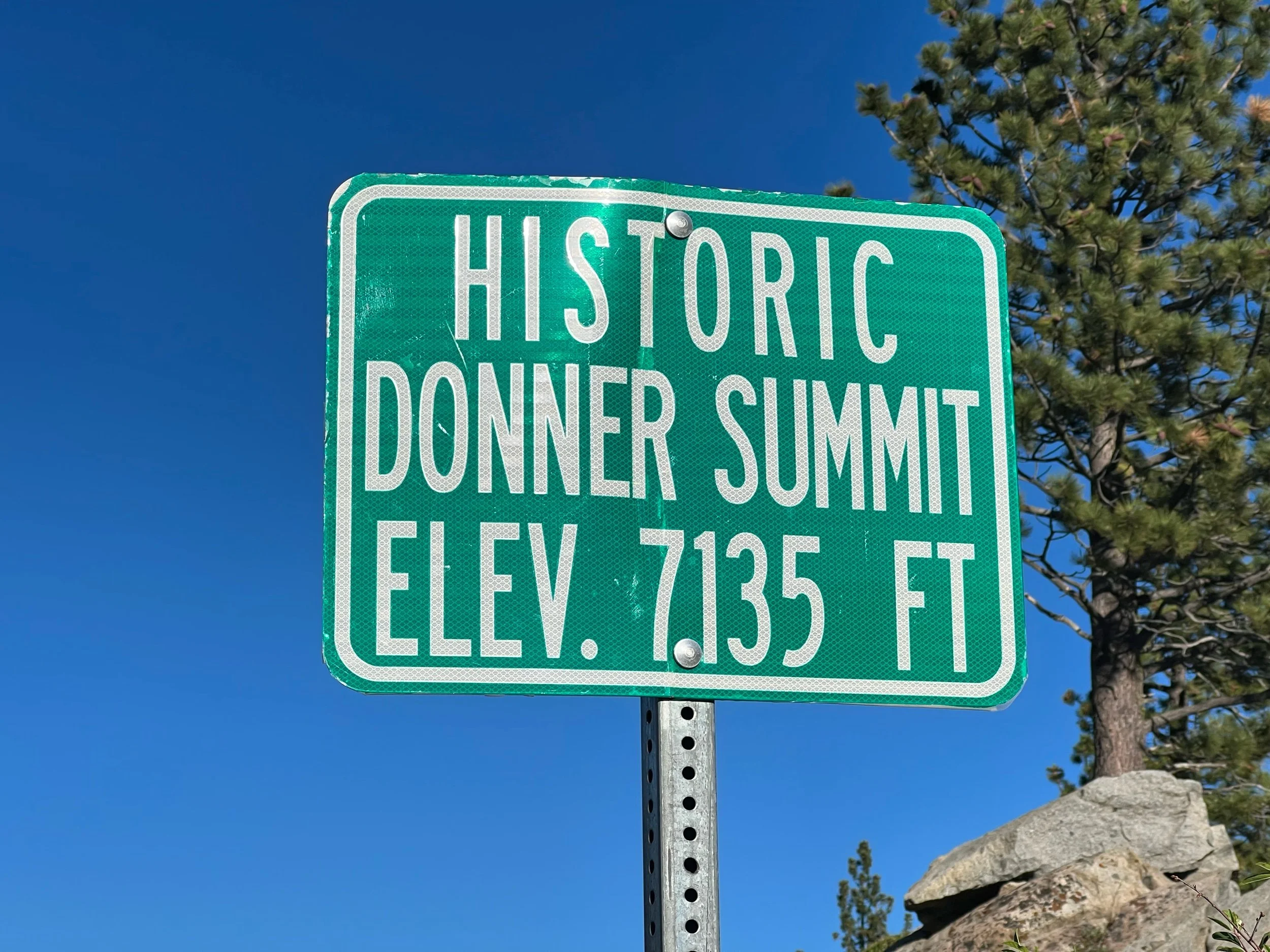
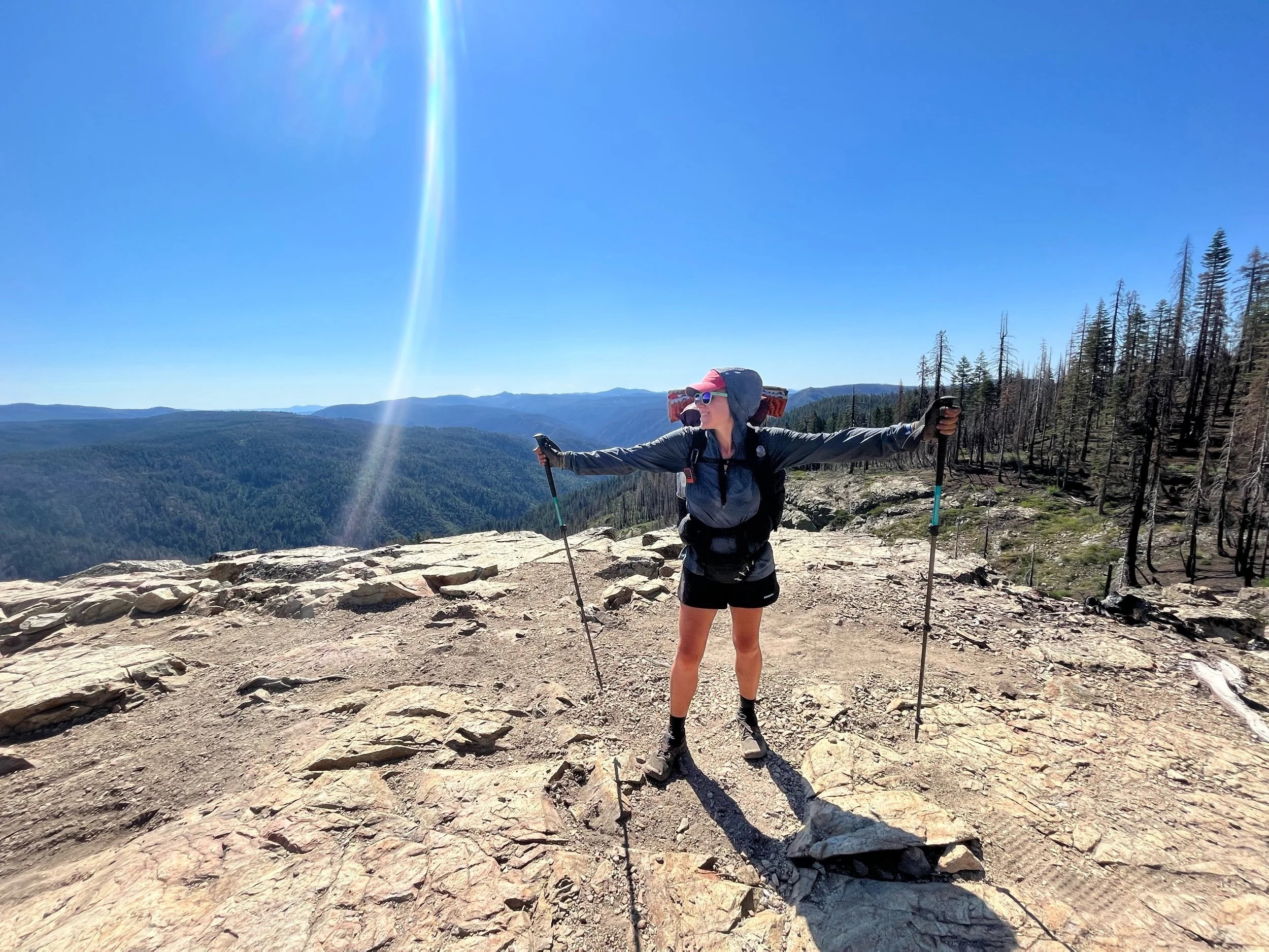
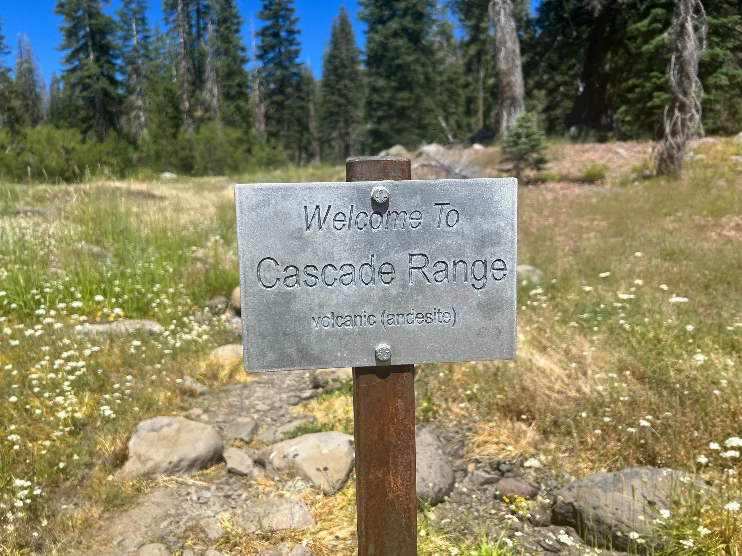
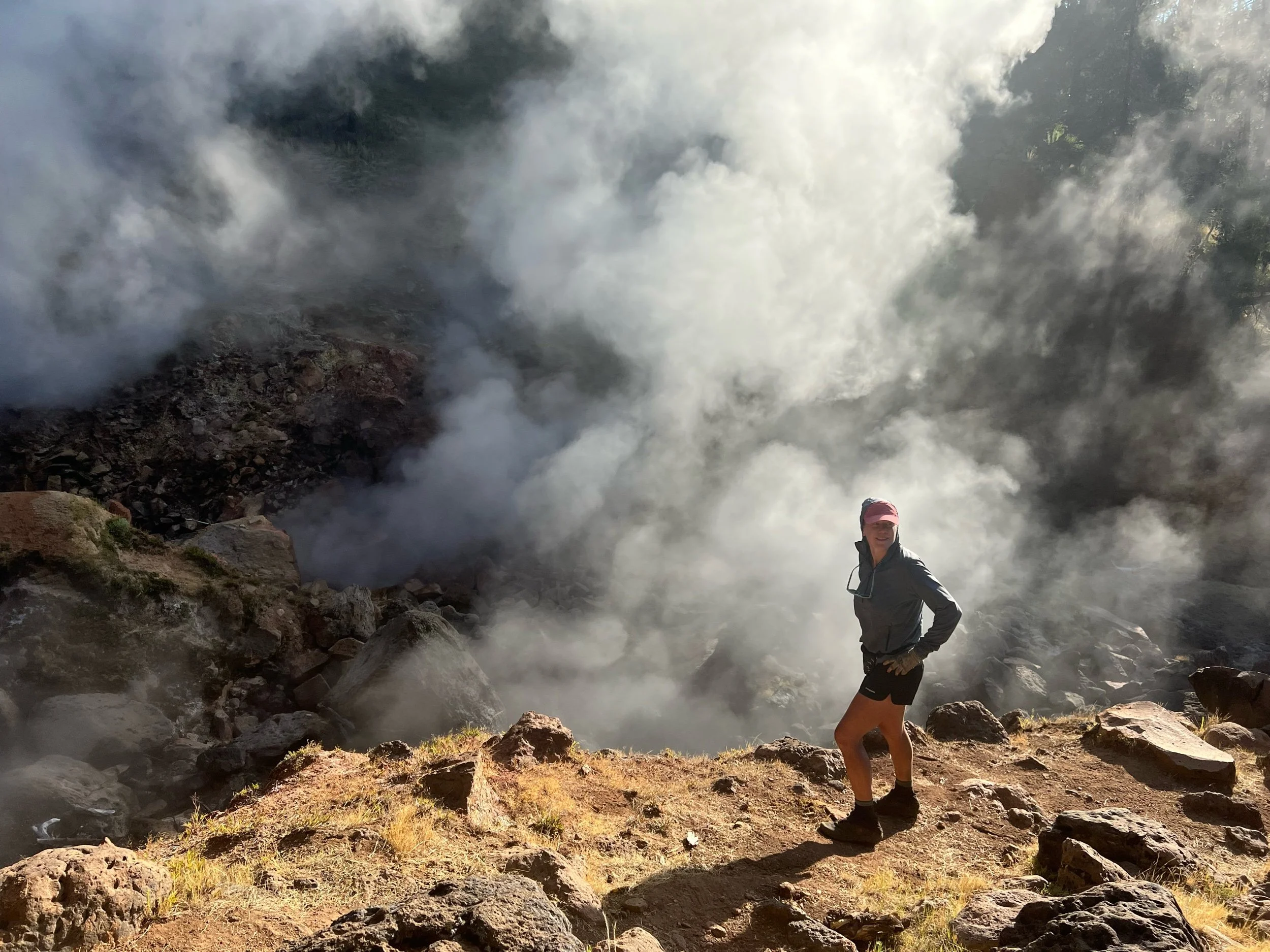
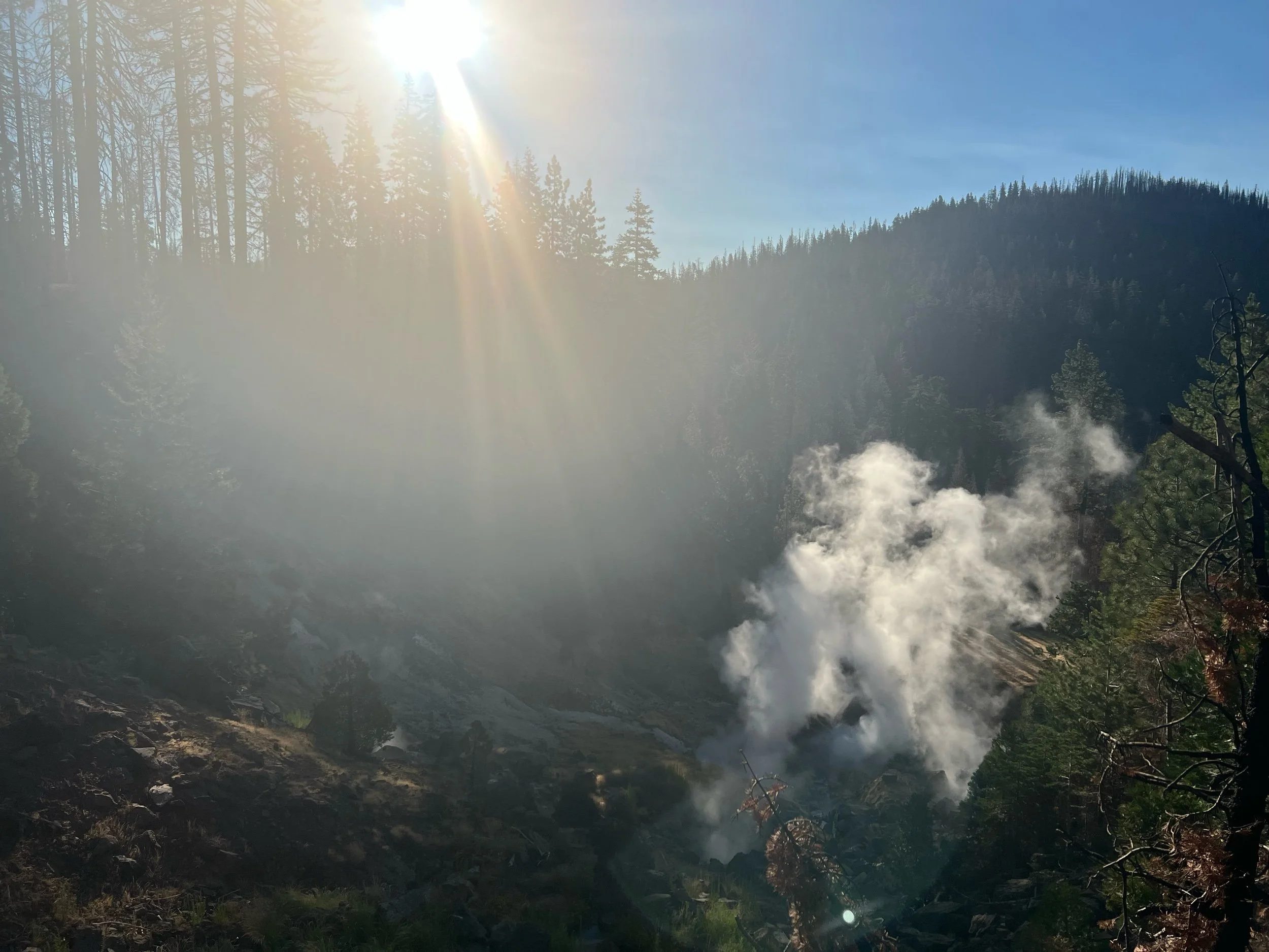
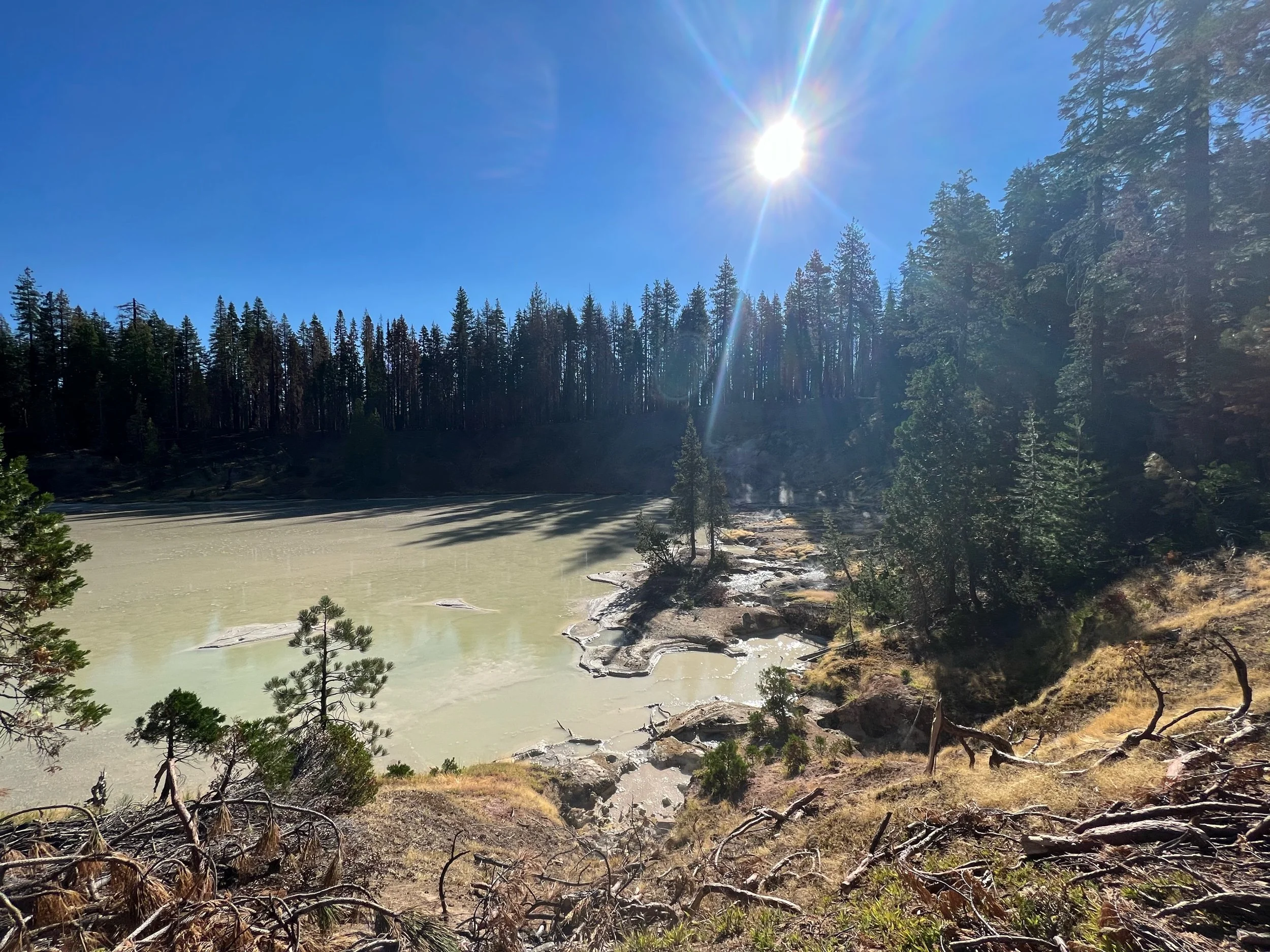
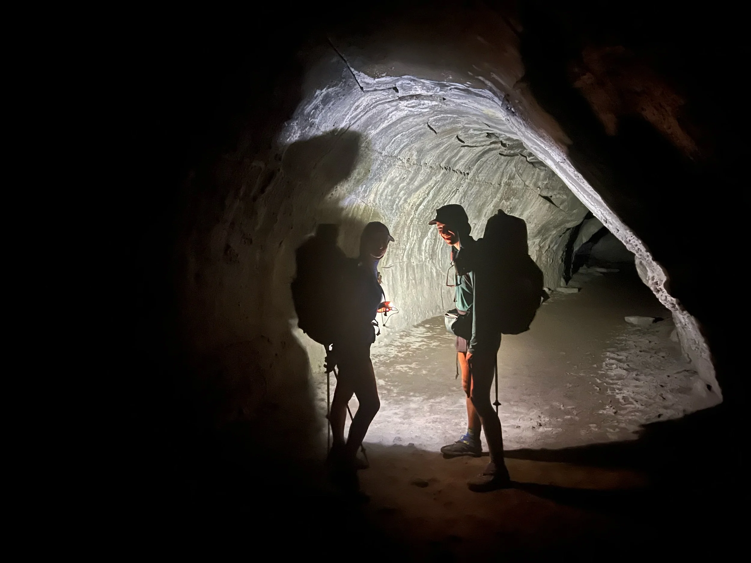
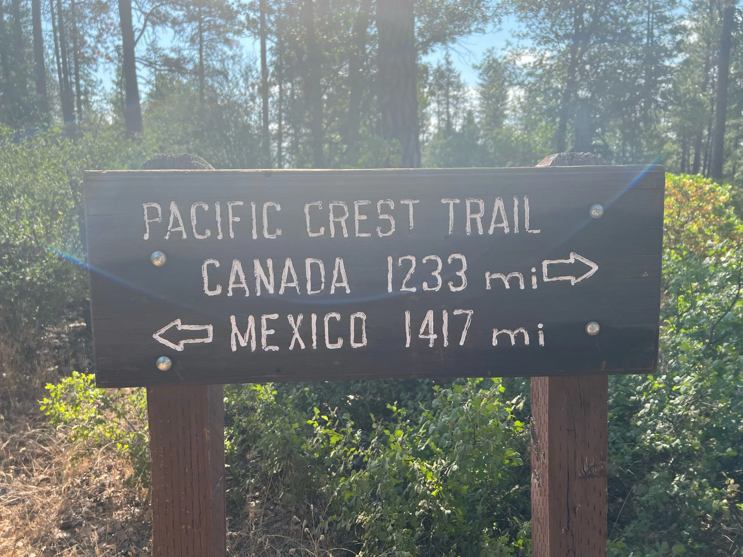
The NorCal section often gets a bad rep, as it’s long, hot, and not the high Sierra. While it was certainly all of those things, I actually found a soft spot for the section. It’s historically and geologically interesting, as the Sierra range transitions to the Cascade range around the 1,300-mile mark. Due to the volcanic activity, we passed by a lava tube, geysers, and boiling lakes. We also had to walk through miles of burned forest from the Bear Fire of 2020 and the Dixie Fire from 2021. And, we passed by Donner Pass named after the infamous Donner Party, but we declined to engage in cannibalism despite our hunger (more on that later).
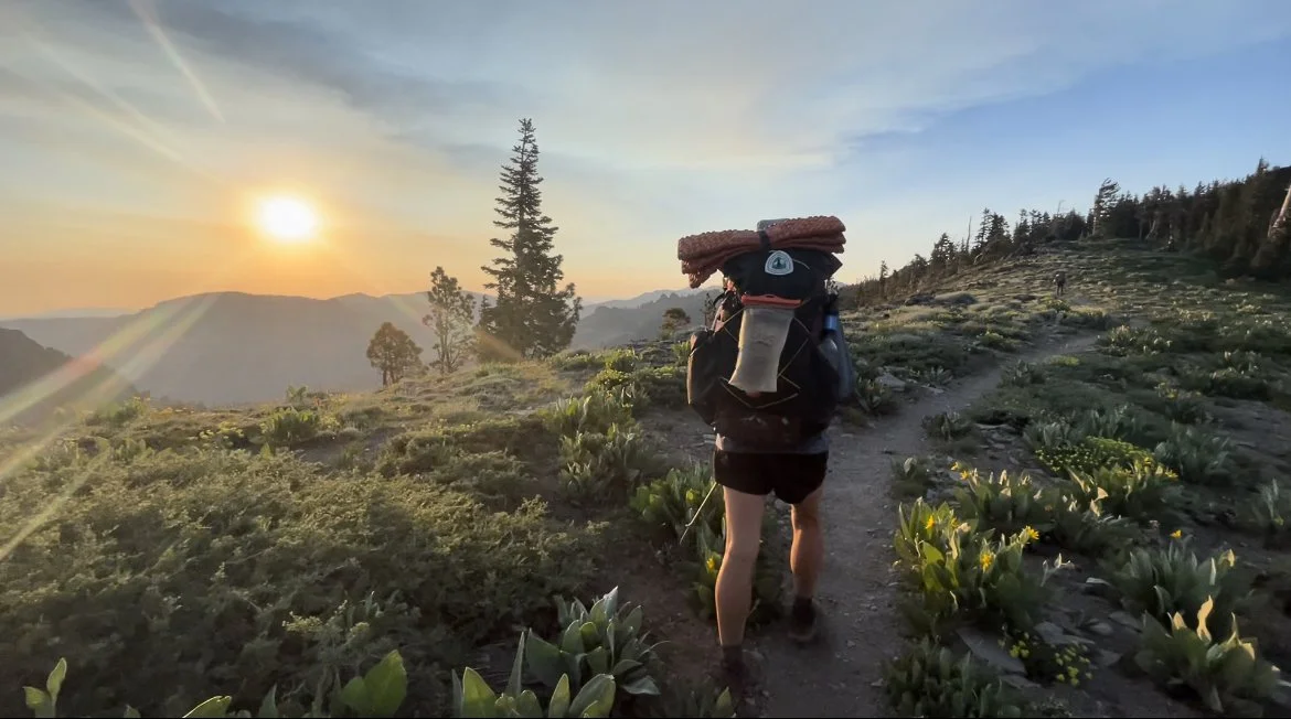
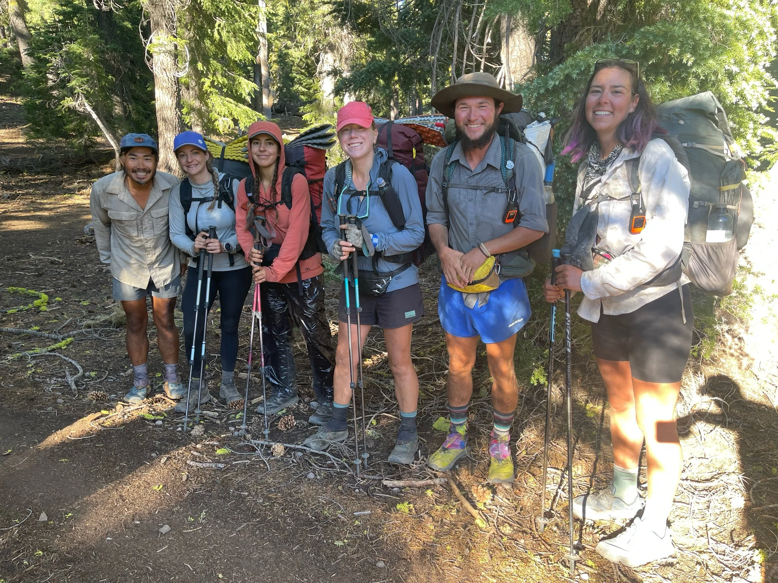
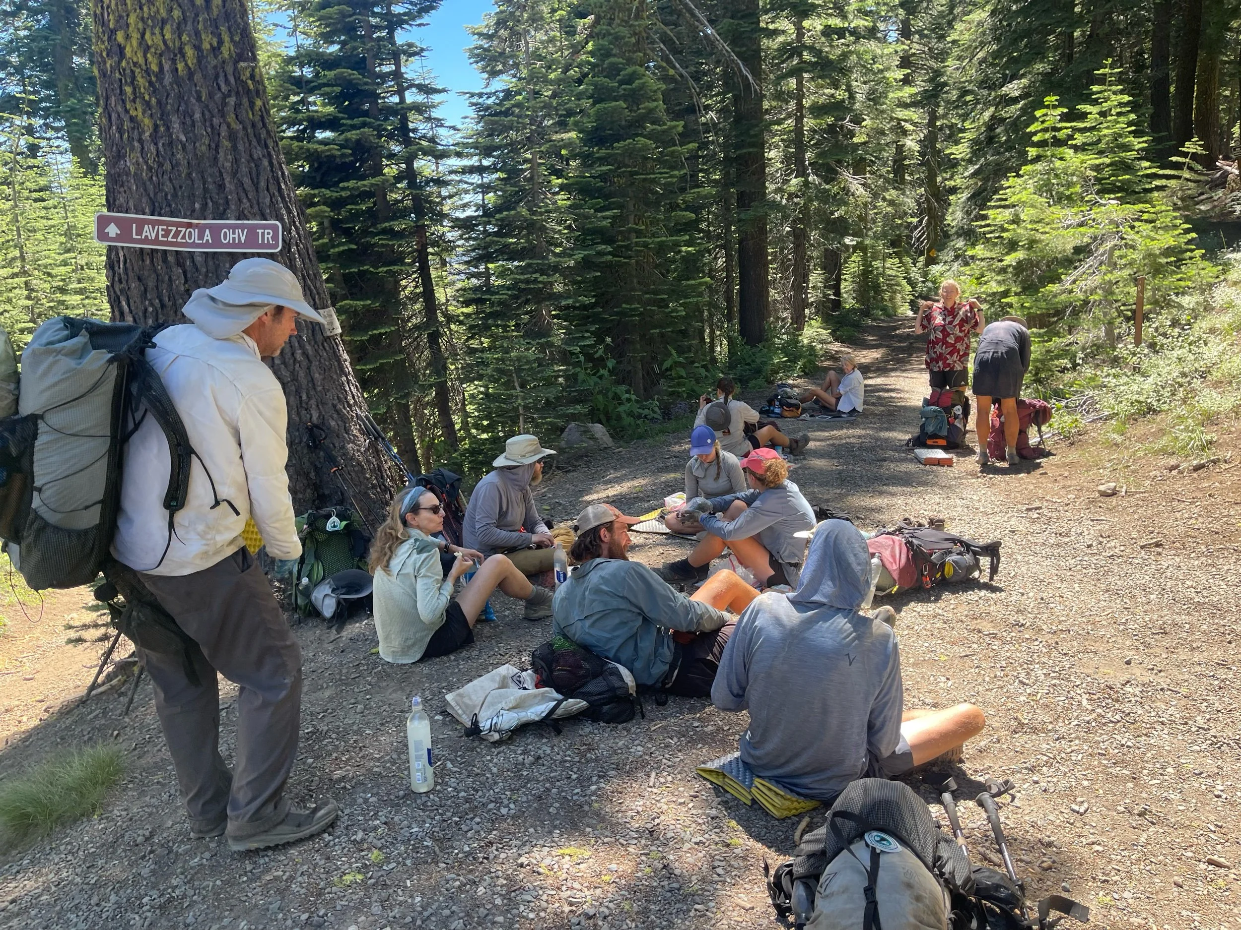
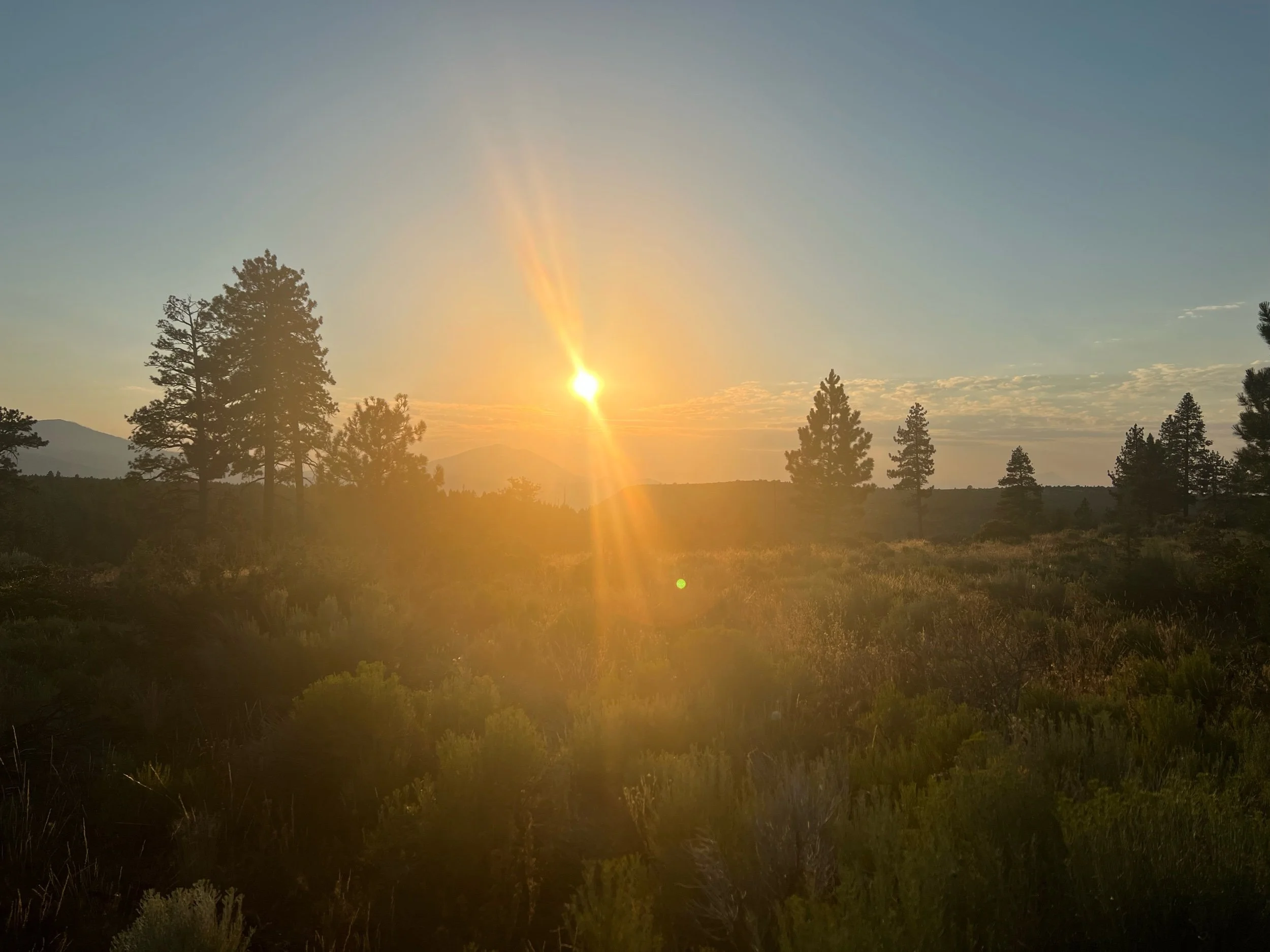
But perhaps more important than the scenery, this is the section where I found my stride. There was a certain rhythm to this section, as we needed to pick up the pace to at least 25 miles a day and we weren’t taking long breaks in towns. We became thru-hikers in this section. While I certainly appreciated a bed and a shower, I wanted to be hiking. A minimum of 25 miles a day became the norm. My legs were tired but strong. Big climbs were no longer daunting, as my legs and lungs were no longer intimidated and they carried me up without hesitation. I think my legs had finally realized they lost the fight against my brain, and decided to acquiesce by building muscles, rather than fight with aches and pains. Hiking 25 or more miles a day in 100+ degree heat day after day gave me a sense of confidence. Physical strength breeds mental strength and mental strength breeds physical strength. It’s the classic chicken and egg dilemma but I felt I had both. I liked the simplicity of the rhythm and found a certain peace through it. Wake, eat, hike, eat, hike, eat, hike, eat, sleep, repeat. It might seem boring, but we also saw beautiful landscapes and shared our stories and joked together at breaks and over dinner. I spent a lot of time alone hiking, but I was never alone. I was part of the PCT community. They say, off the trail, living is easy but life is hard. On the trail, living is hard (need to find water, a place to sleep, deal with weather, put in the miles, etc.), but life is easy. Life was easy. While real world issues don’t disappear, you can kind of brush them aside because we are all focused on this singular project, hiking trail and helping each other do the same.
This all got interrupted due to the McKinney Fire at the California/Oregon border and the other fires in Oregon. I understand my hike is of little consequence compared to the devastation others faced, but I suppose this is my experience and what I know. I was quite saddened to have been stopped short, right as I found this rhythm. Missing out on the continuous footpath will always sadden me. I don’t know how to describe it, but it hit me hard. Perhaps, harder than I realized in the moment. They says it’s the journey, not the miles, but it feels a bit like cold comfort. I hope I am able to go back and finish California and Oregon after Washington, but, given most of Oregon is currently on fire, I’m not sure if it’ll be possible. Time will tell. Now onto what we saw in NorCal…
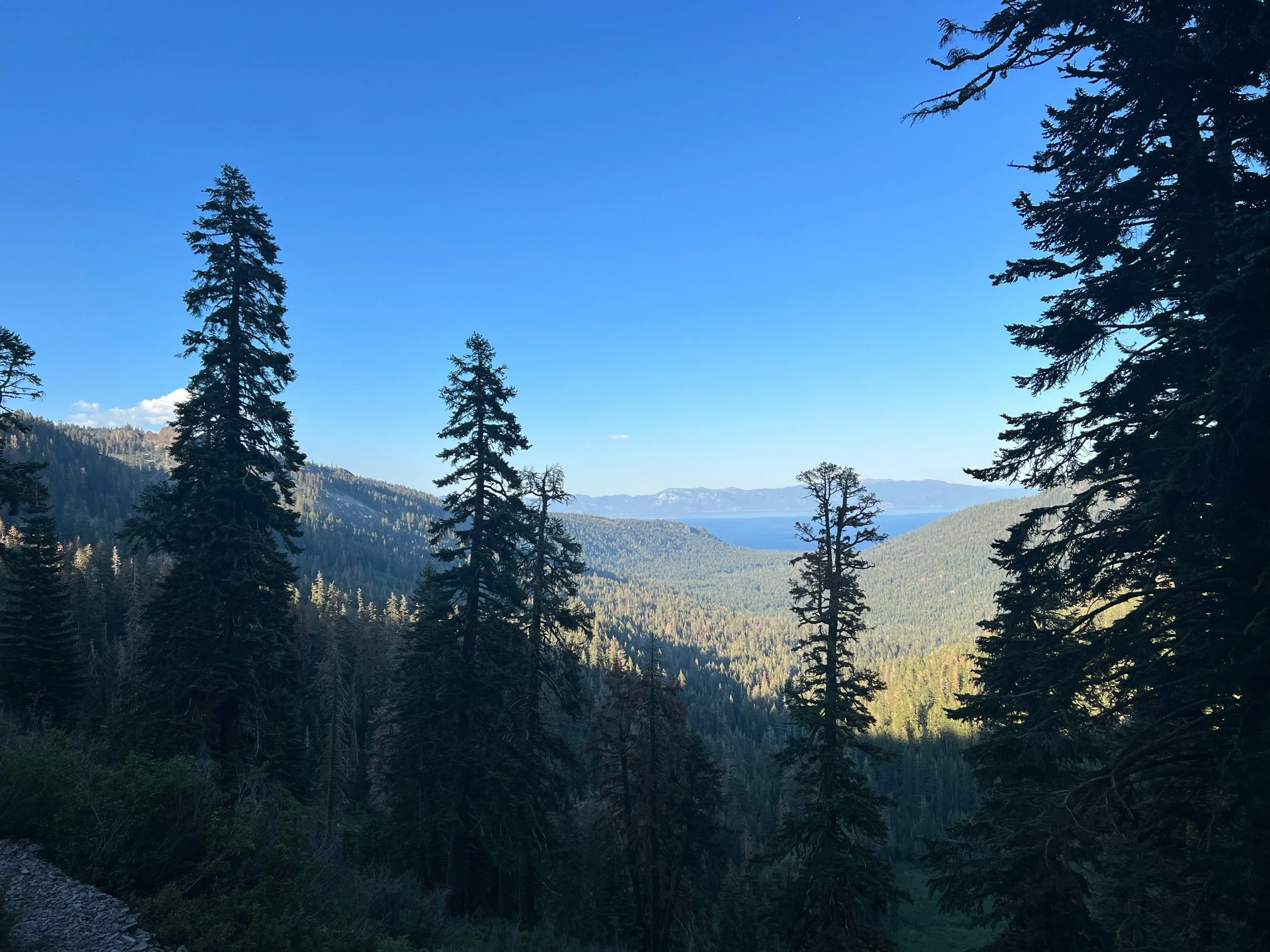
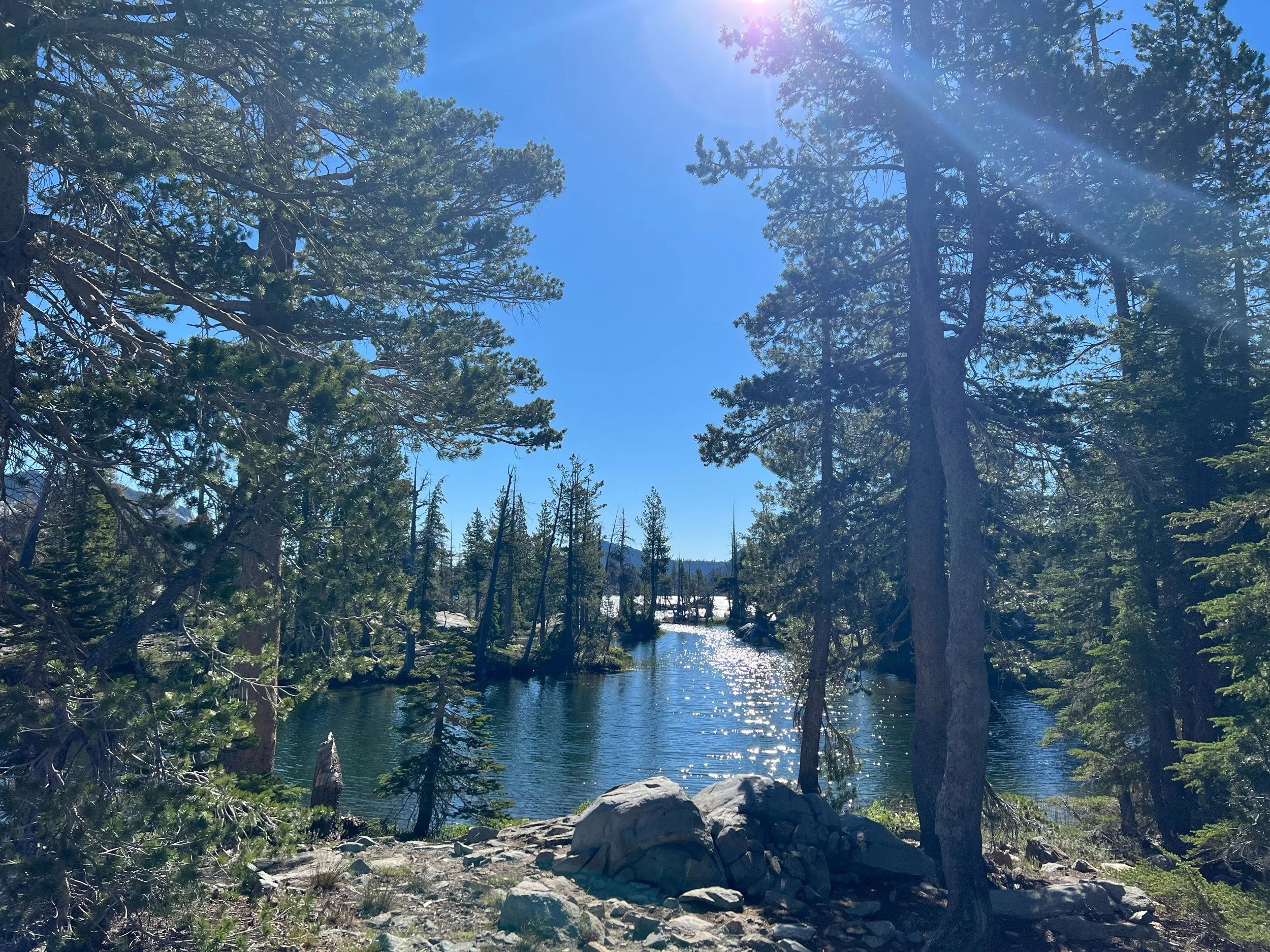
We headed out of Lake Tahoe on July 10. We soon entered Desolation Wilderness and passed by Echo Lake and Aloha Lake. Both are beautiful and are easily accessible to day hikers and weekenders, otherwise known as Muggles. And there are a lot of them. All of these people have food and the bears know it. So, bears hang out here a lot. Given we already returned our bear canisters, we needed to hang our food to avoid having it stolen. Hanging food via the PCT bear hang method was a lot easier in my parents’ backyard than trying to do it after hiking all day and at 845 at night. Let’s just say it took us until after 10 to hang the food. But, we hung it so well that it took us 1.5 hours the next morning to get it down. Once we got out of this section, we went back to the less safe but easier method of sleeping with our food or getting Big Spoon (a former Eagle Scout) to do it. I’m a strong, independent woman, except when it comes to hanging food, as I’m terrible at knots and throwing a rope over a high tree branch. More than happy to let others do this one.
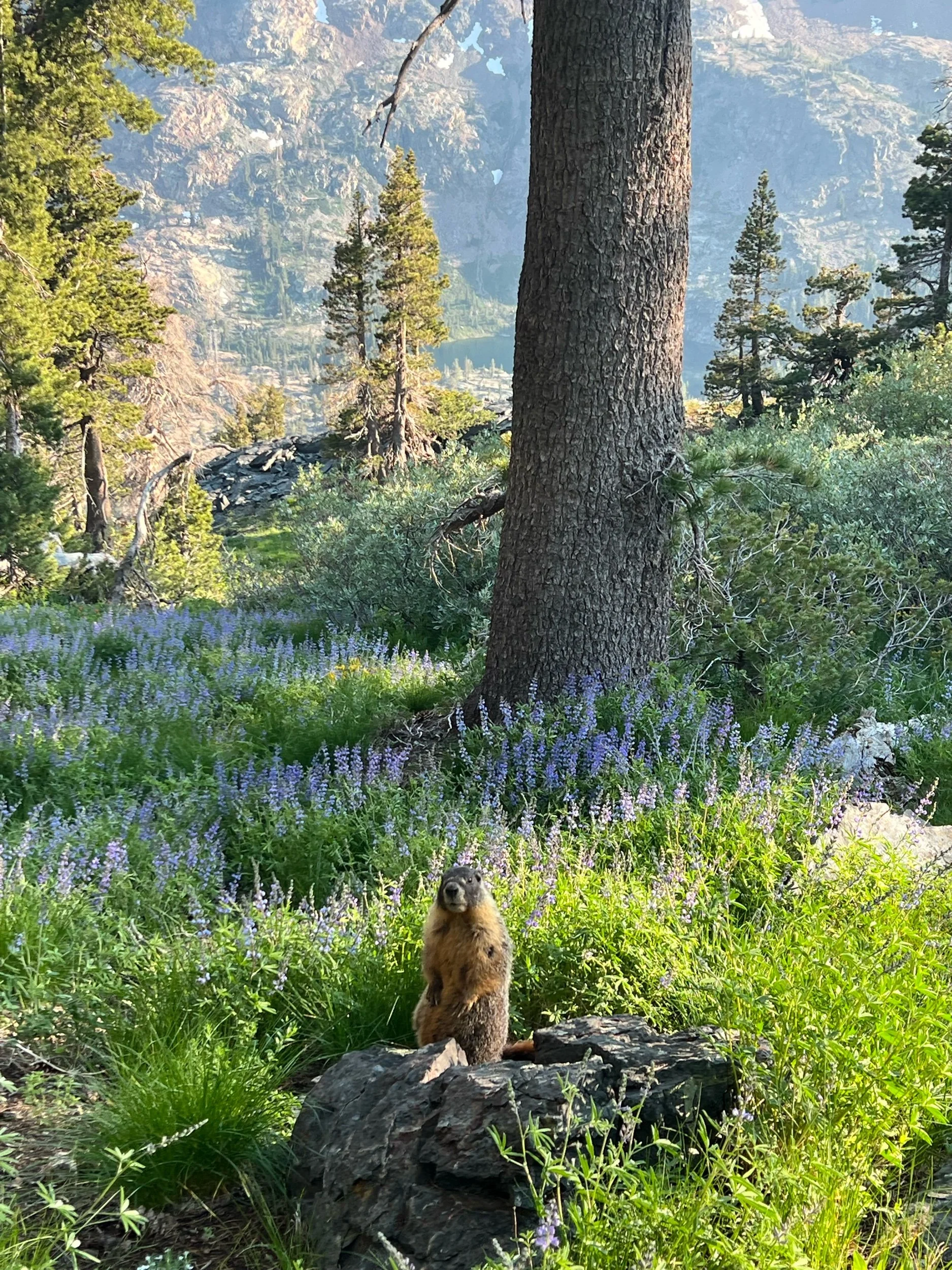
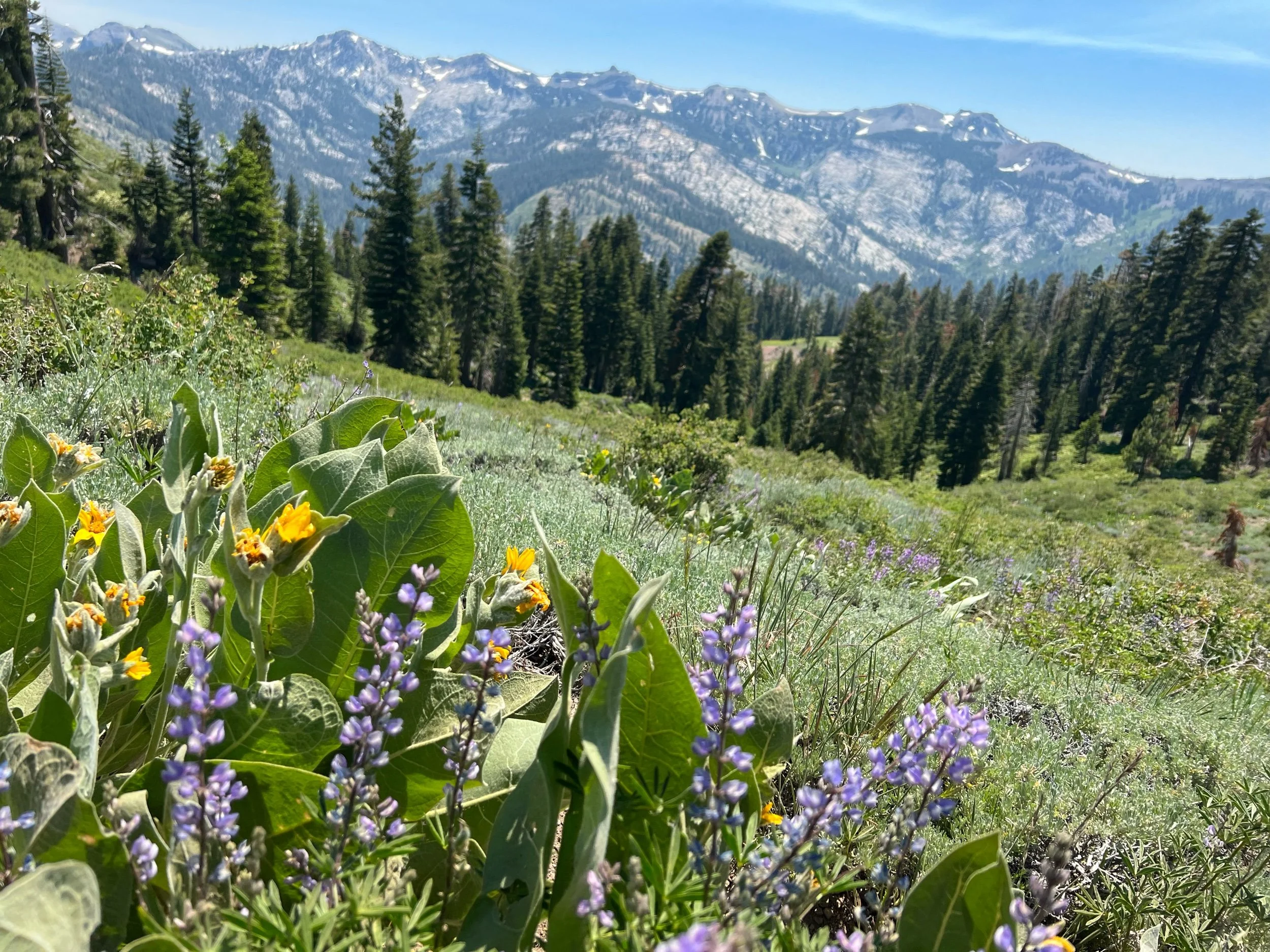
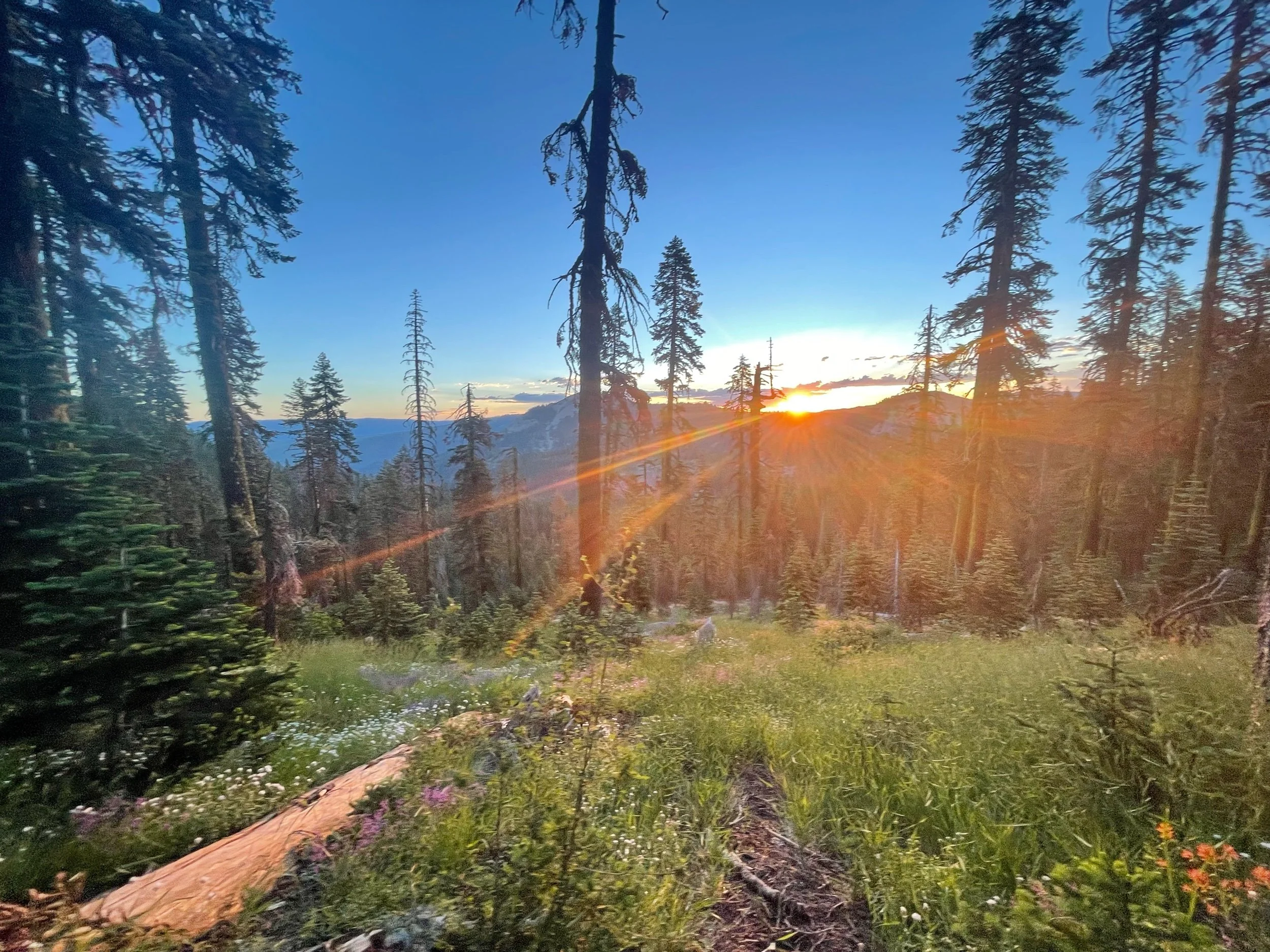
The views through this section were spectacular and the marmots were still super cute.
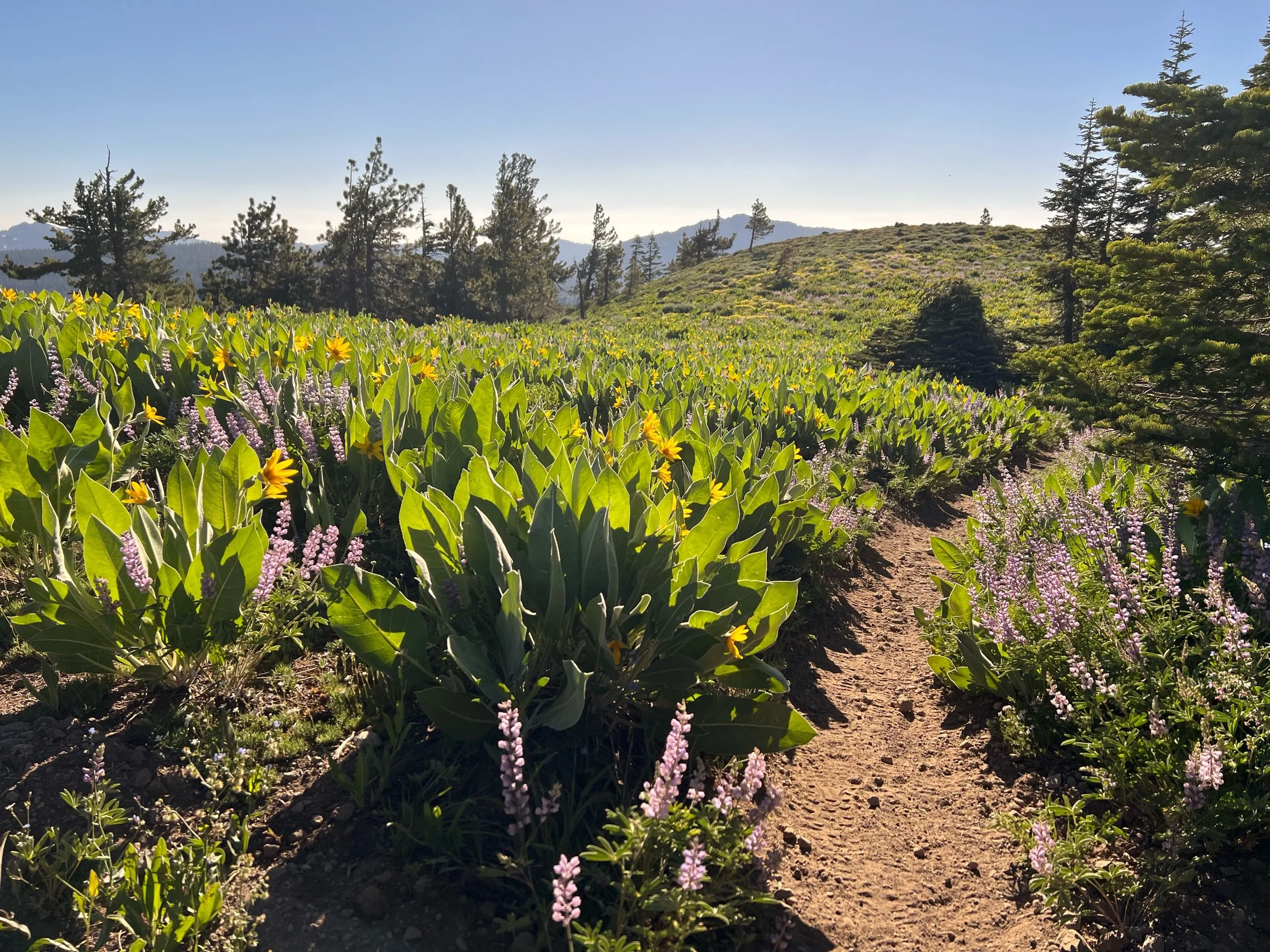
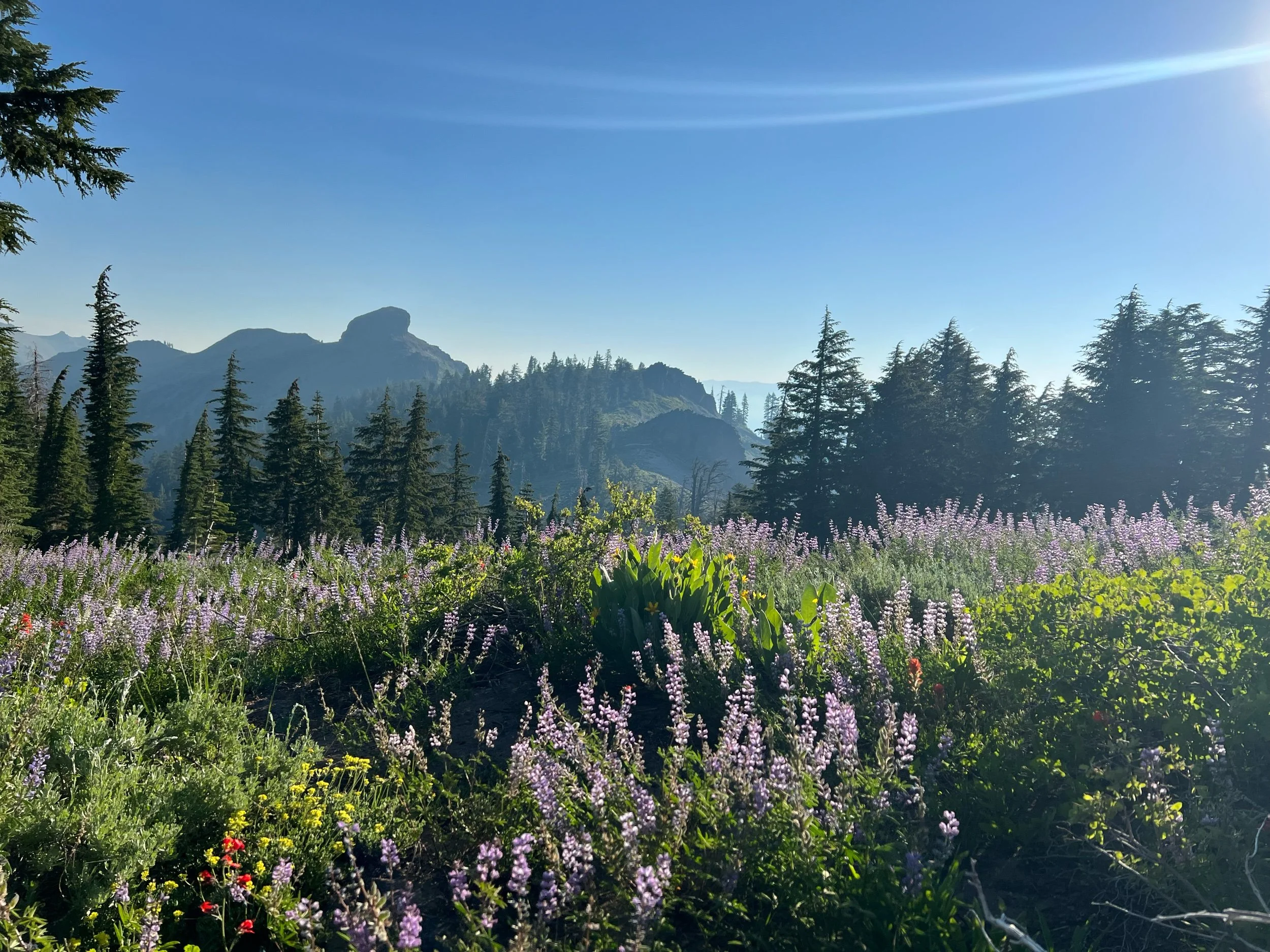
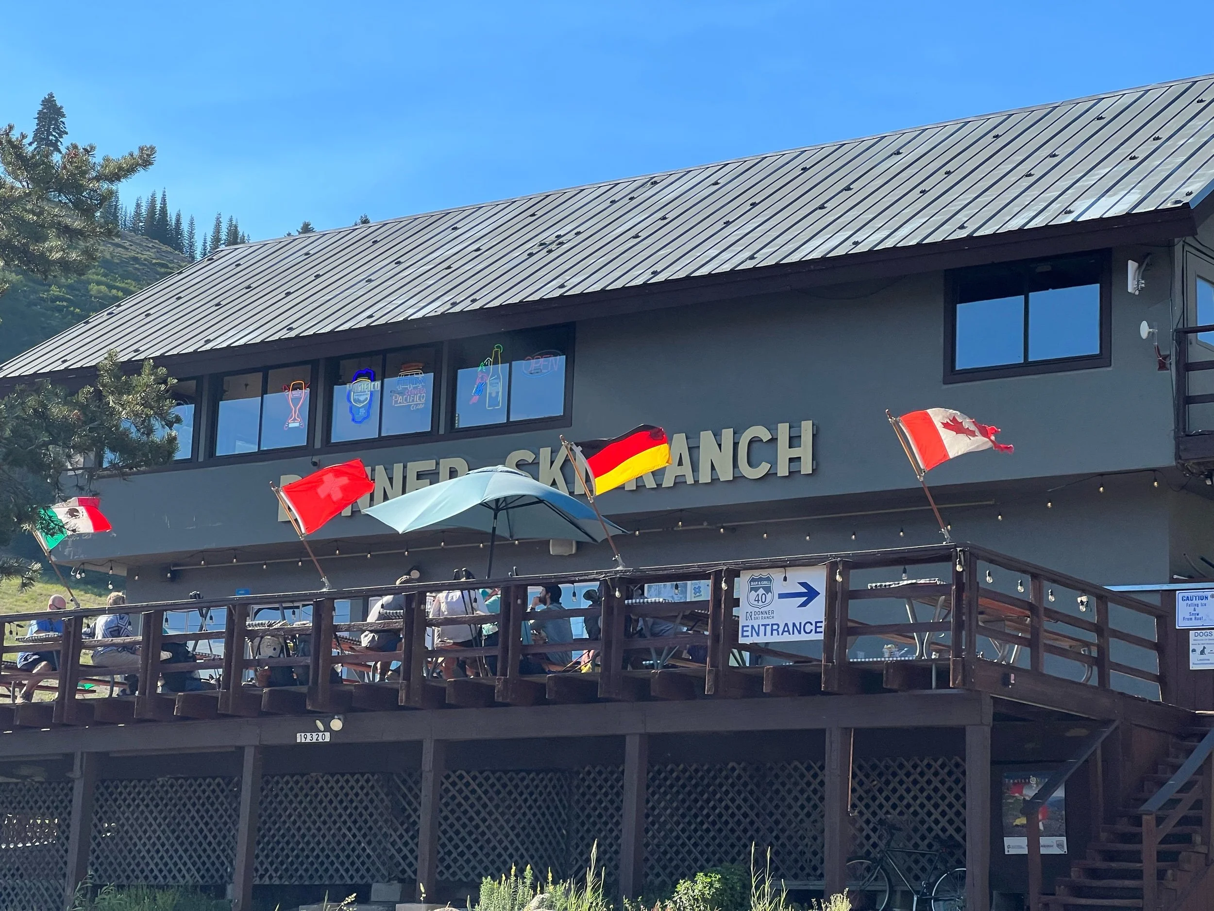
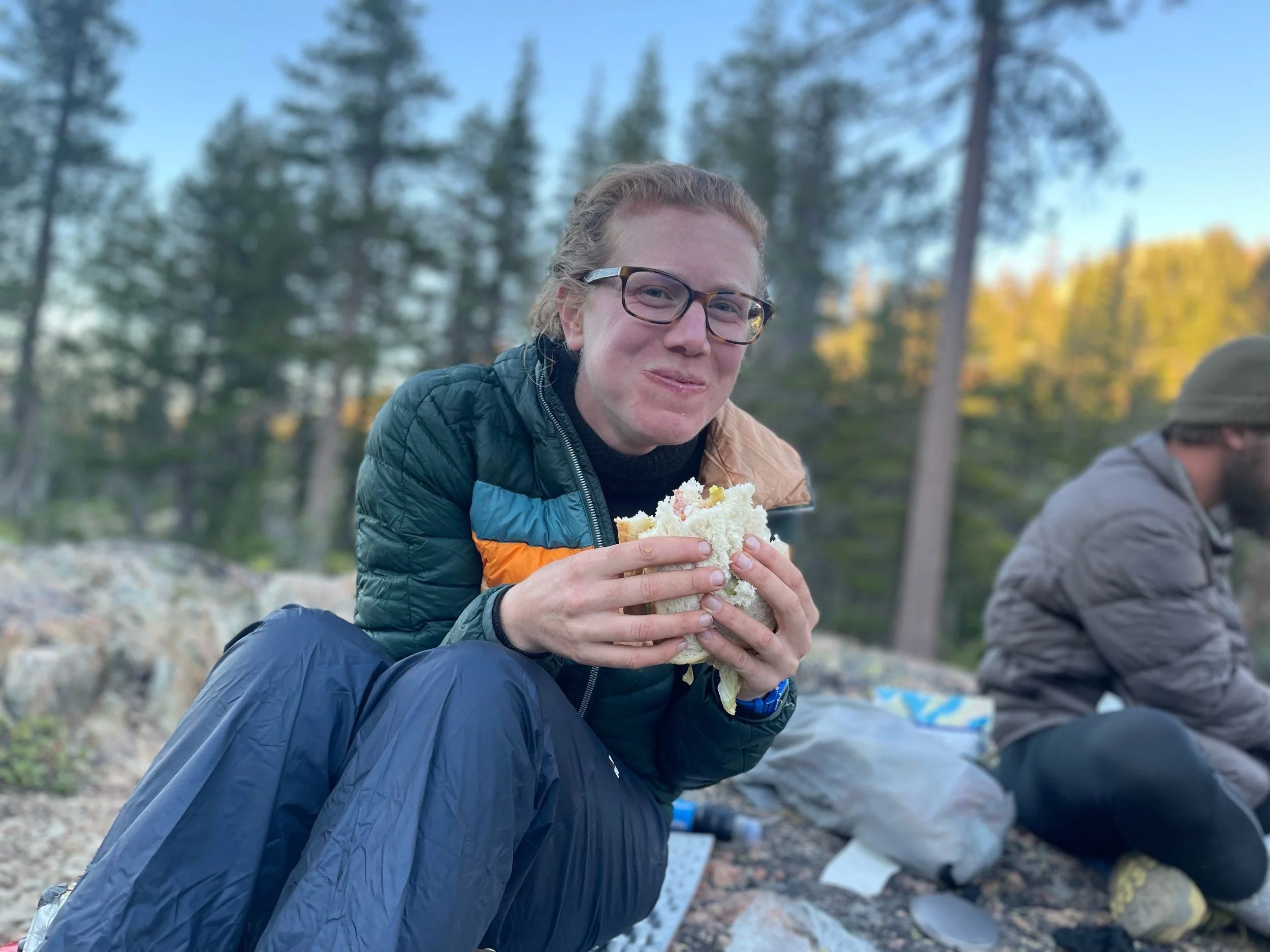
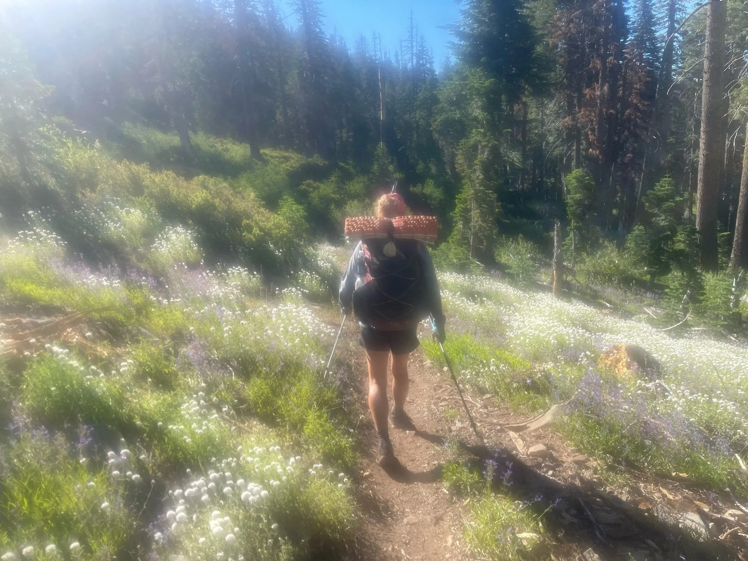
After Desolation Wilderness, we entered Granite Chief Wilderness. This section had mountains covered in wild flowers of all colors, yellows, blues, purples, reds. Nature knows a good color palette. We soon were approaching the town of Truckee, a ski town that is the site of Donner Pass, where the Donner Party tried to cross the Sierra in the winter and ended up eating each other. As the story goes, rather than take the tried and true Oregon Trail, they decided to take a shortcut, that wasn’t even a shortcut in terms of miles and certainly wasn’t one in terms of terrain. Things did not go well from the start for the Donner Party, but they kept going until they murdered and ate each other and were finally rescued from the former Truckee Lake (now named Donner Lake for reasons that are unclear). Currently, Donner Ski Ranch sits there. Given we are hiking in the off-season, to attract hikers, the Ski Ranch offers free 40-ounce malt liquor to PCT hikers. Because nothing makes a PCT hiker hike faster than town food and something free, I raced there, down massive granite rock steps, only to feel faint and substitute my 40 for a lemonade. Don’t worry, I perked up enough just in time for margaritas.
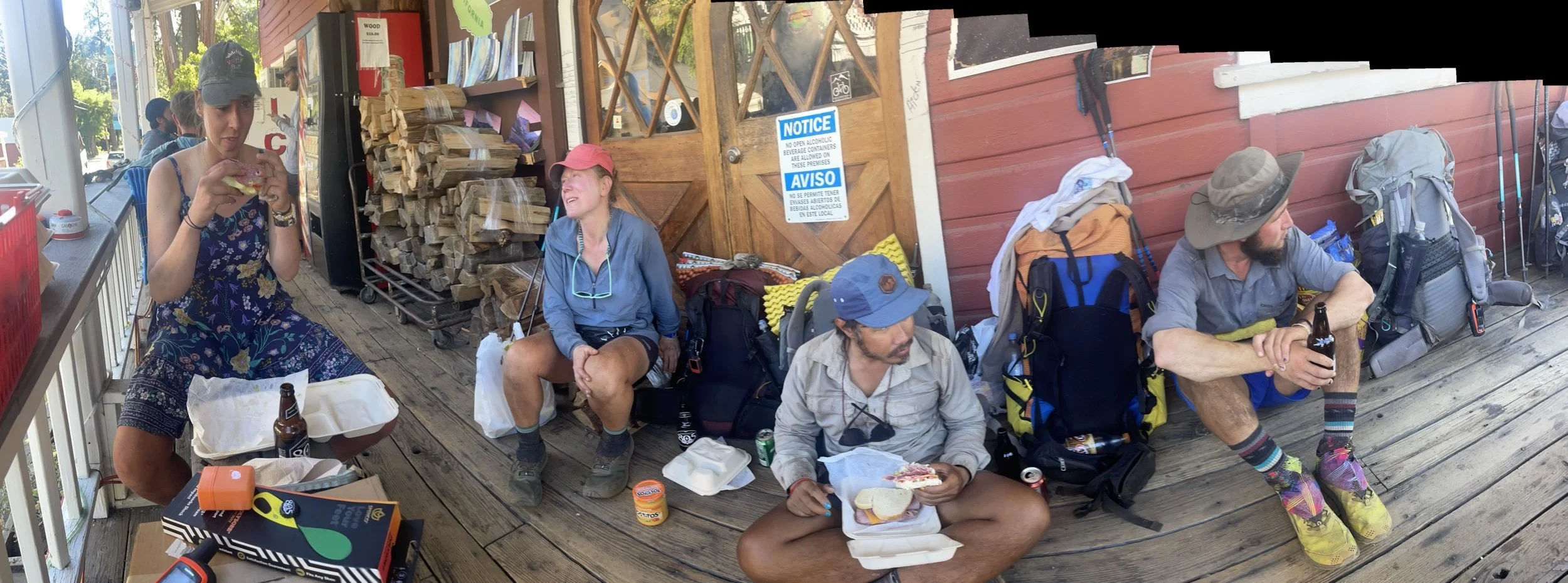
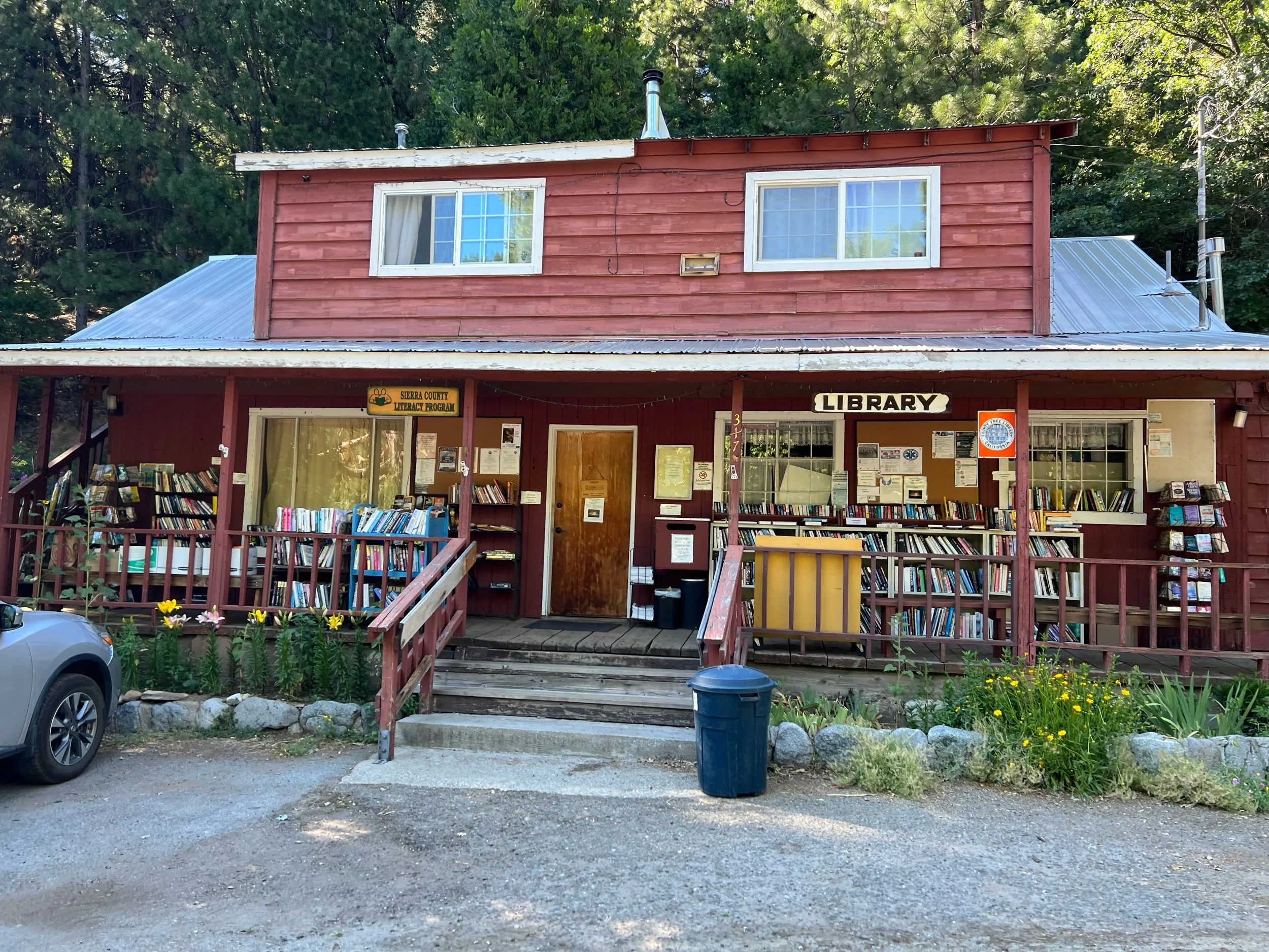
We didn’t stop in Truckee, the town, as we had about 50 miles to Sierra City. It’s unclear how Sierra City got its name, because, with a population of 225, I don’t think it can be characterized as a city by any standard. We only stayed one night in Sierra City, but it was worth the visit. The town consists of a post office that’s open for about 4 hours a day, a general store, the Red Moose Cafe, a library, and the Old Sierra City Hotel. Nothing in the town is open after 5pm, but Rob, the manager of the hotel, which housed miners in the 1800s, called the owner of the general store, who agreed to let us in so we could get cold drinks and late-night snacks. And, the next day, before our big climb out of town, another hiker’s parents provided hikers with sandwiches and fruit.
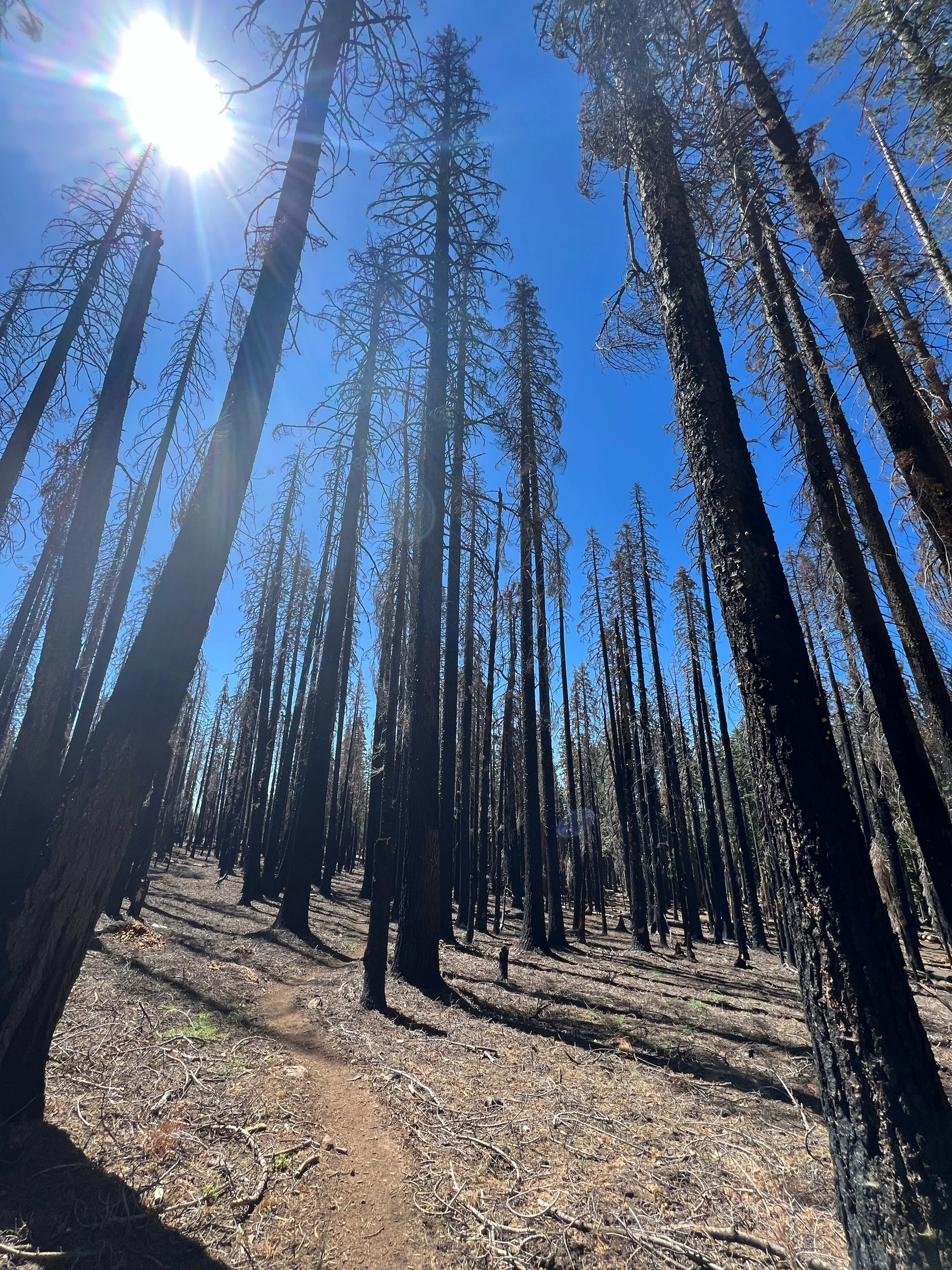
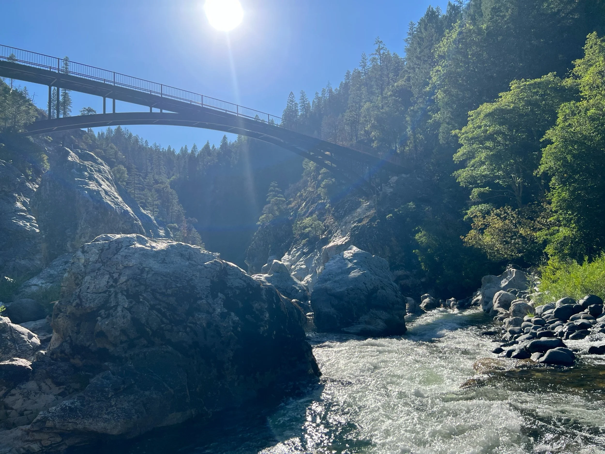
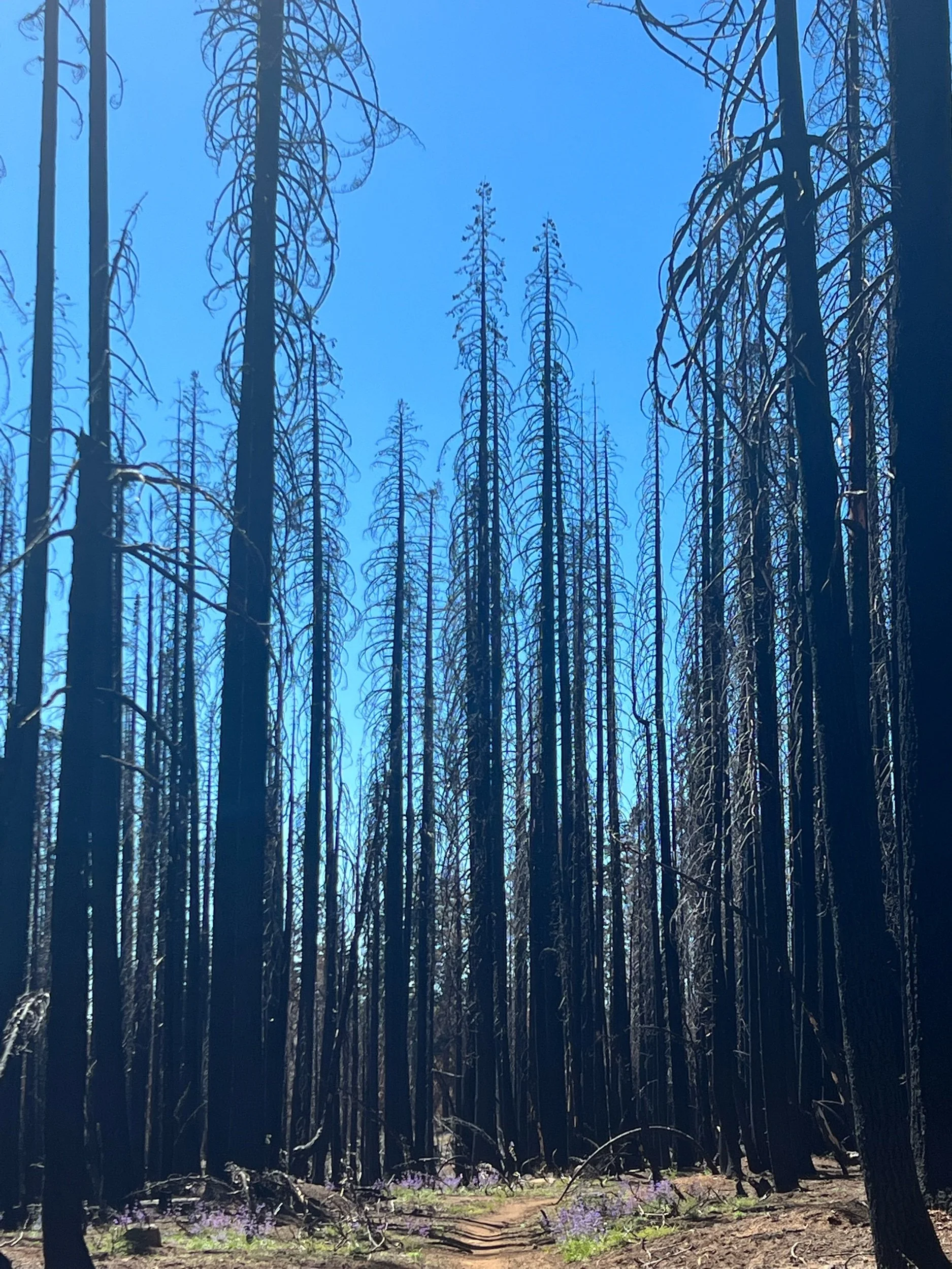
From Sierra City, we had a 75-mile section to Quincy. This was our first look at a major burn zone, the Bear Fire of 2020. Walking through a burn zone felt somewhat like a dystopian universe, with black tall remnants of trees standing starkly against the blue sky. As you walk there are also some signs of regrowth, as this fire was two years ago. Thankfully, not all of this section was burned, and we saw beautiful greenery and flowers and were able to cool off in gushing creeks and rivers.
This was where the trail started to get hot and we got even dirtier. The temperatures neared or surpassed triple digits and the ground was so dry that dust gets everywhere. We did our first and only zero in Quincy, where we rented an AirBnB. Boy did we need that shower.
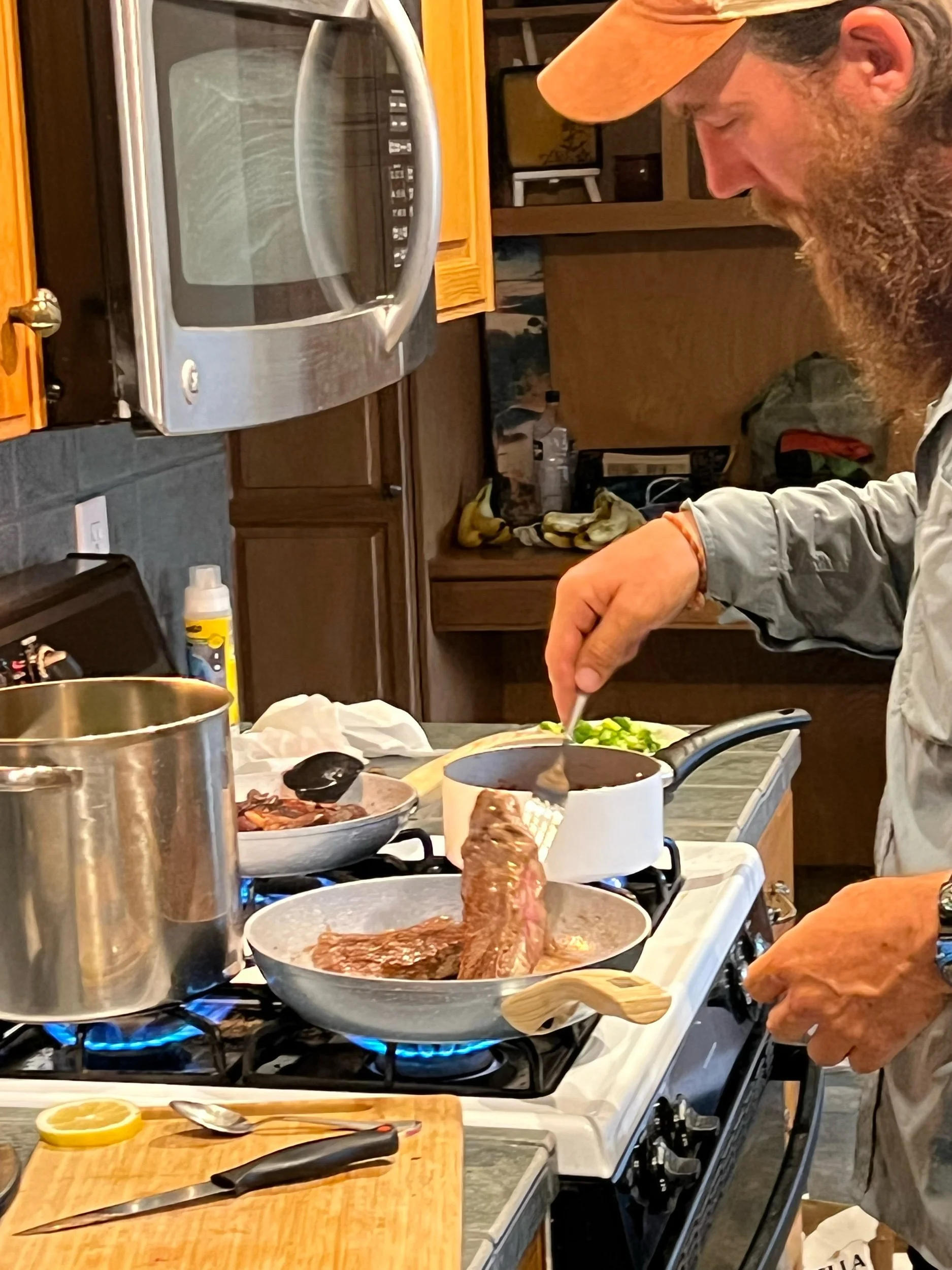
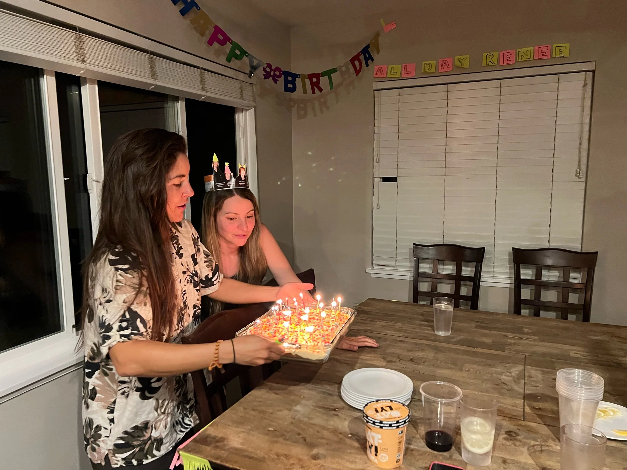
Quincy is a cute town, where the toy store gives free delicious ice cream to PCT hikers, with flavors such as lemon poppy and black raspberry and cookie butter. We ate well and celebrated Renee’s birthday, with Machine (who joined our group after Sierra City) cooking steak with a red wine mushroom sauce and Illy baking a cake. Despite her aversion to birthdays, Renee was a good sport and let us speak her happy birthday.
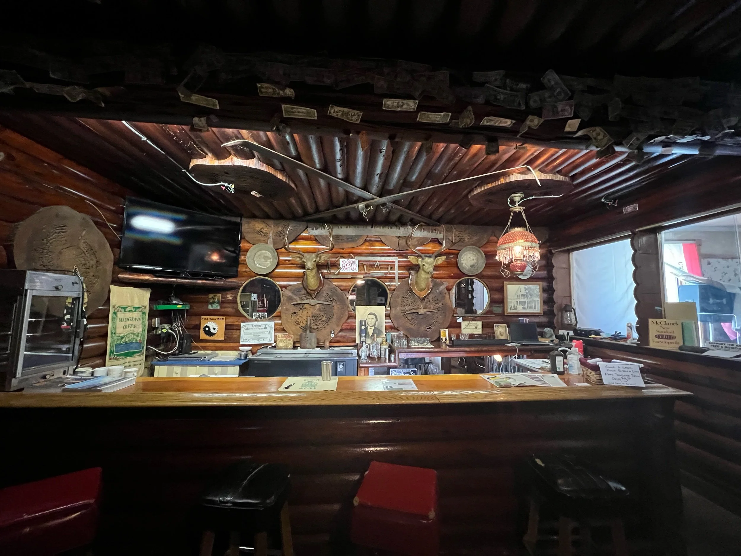
We left Quincy on July 20, with a decent climb and then a large descent into Belden Town. Belden is not a real town, but consists of a bar and a store and is for sale for $5 million dollars. It’s a weird place, but a cold beverage is never a bad thing. The most depressing thing about descending into Belden is you can see what you need to hike the next day for the entirety of the decent — 5,000 feet over about 14 miles. Due to the soaring temperatures, we decided to head out for the climb around 5am, to beat the heat. Despite the climb, I had one of my better days, checking off a PCT achievement: 10 before 10 (10 miles before 10am). I made it with plenty of time to spare and even was able to soak my feet in a creek. The biggest achievement for me wasn’t hiking the climb pretty fast. It was waking up at 4am. We ended up hiking exactly a marathon, crossing into the southern Cascades, finishing about 8:30 that night. It was a long day of hiking, to say the least. Despite being exhausted, having hiked from 5am to 8:30 pm, I felt like suddenly acquired some hiking superpower.
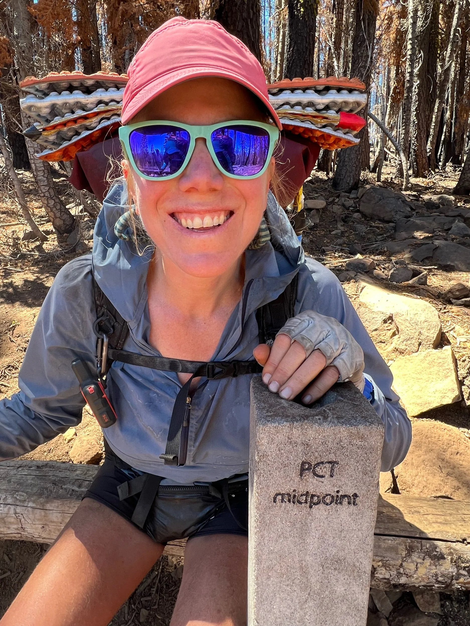
July 22 was a big day. We hit the PCT midpoint, at least in terms of miles. So of course we made a music video to Livin’ on a Prayer, both in English and in Czech, for Slay. This required a lot of effort, as memorizing even one line of Czech seemed more daunting than anything we’d hiked so far. The English version can be found on my Instagram page. I can send you the Czech version if you’d like to see us being idiots.
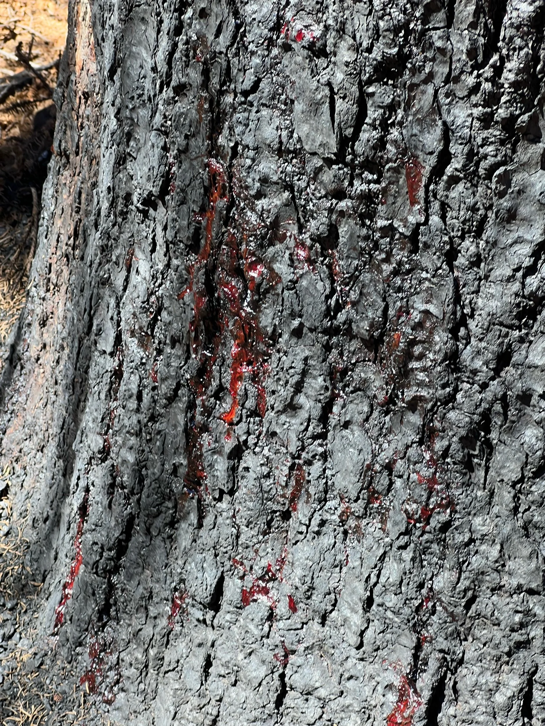
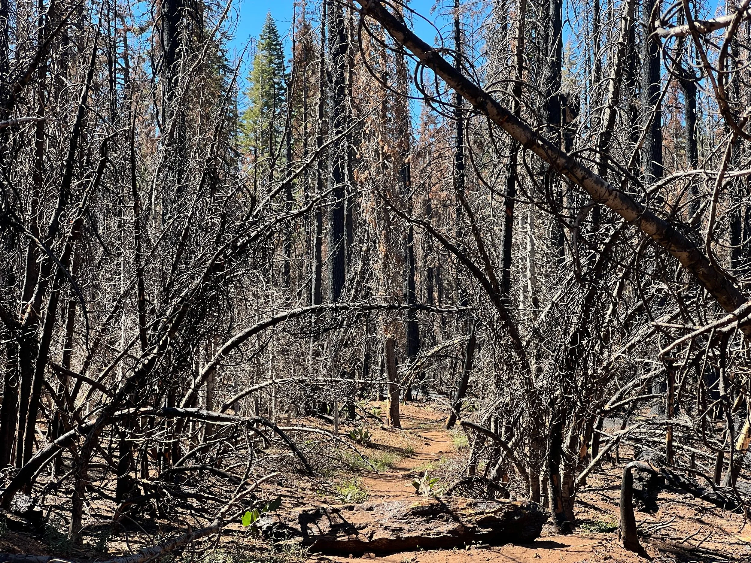
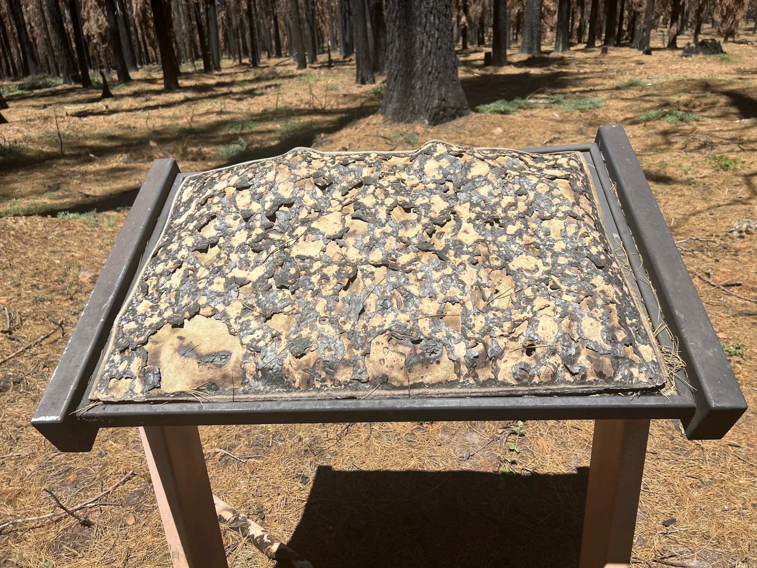
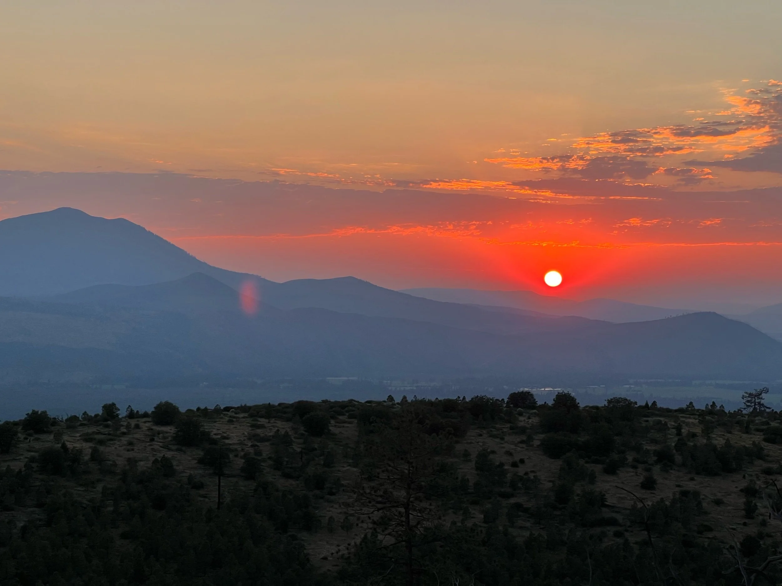
The midpoint sits in the beginning of the Dixie fire zone, which is even more dystopian than the previous section, with the trees literally bleeding. In this section, we needed to plan our campsites carefully, to avoid camping near dead trees, as branches or the tree itself could fall at any time. I thought it was important to hike this portion of the trail (some skip it), partially because I wanted to hike the entire trail, but also to see what a fire can do. The earth looks scorched and entire forests are wiped out. When you finally reach a green area, it feels like heaven, with the air easier to breathe and the smell of life filling each breath, rather than dust and ash.
On July 22, we made it to Chester, which is right outside of Lassen National Park. We got to Chester in the early evening and were filthy and sweaty, as temperatures were now in the triple digits. We got dinner, showered in the public, coin-operated showers, and slept in the public park. You had to be careful where you slept, as some made the unfortunate mistake of camping a bit to close to the sprinklers (which no one in California should be allowed to have given it never rains here, but I don’t make the rules). There’s a fine line between being a thru-hiker and being homeless. I’m still trying to find where that line is.
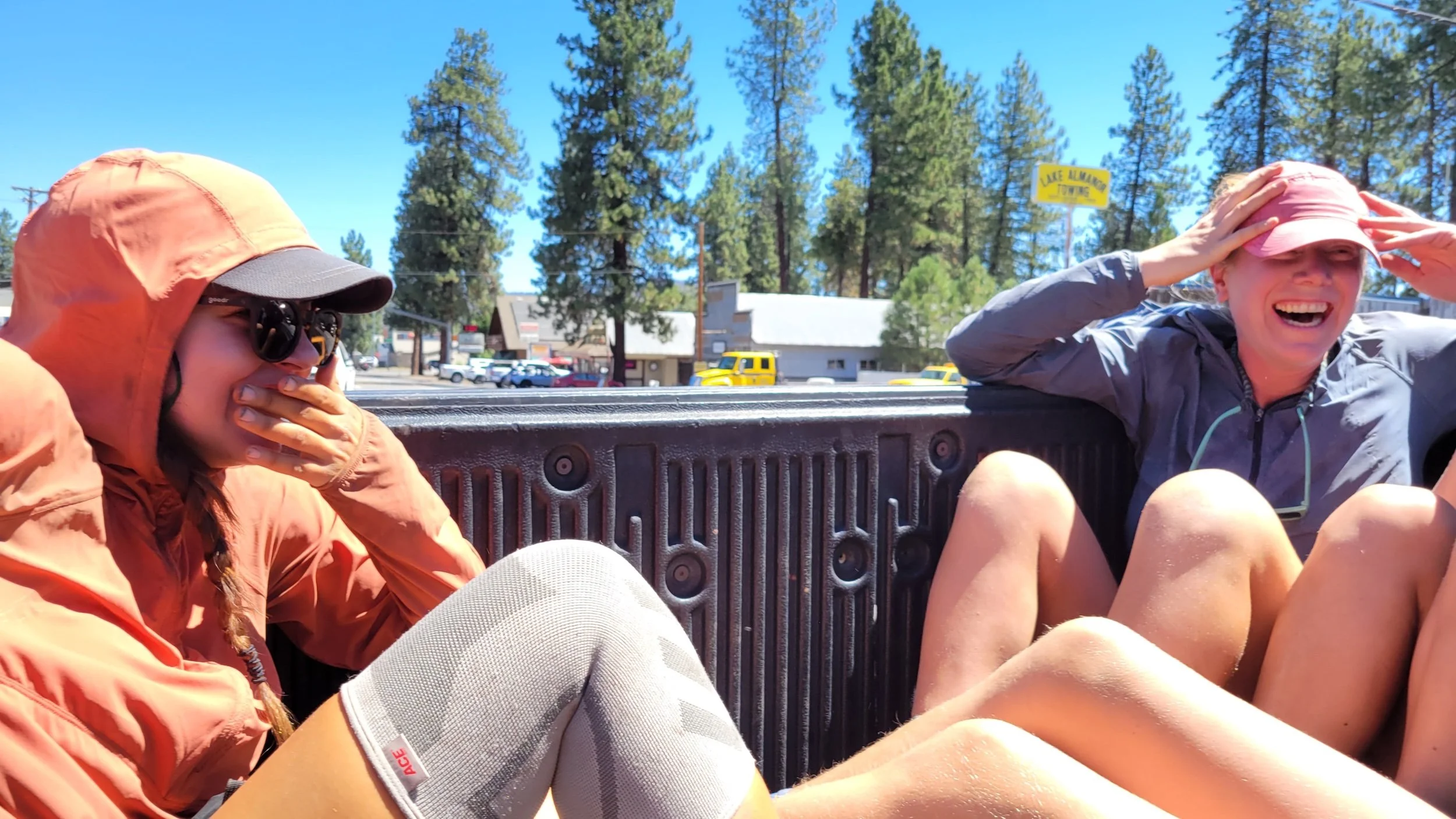
After resupplying our food the next morning, we got a ride back to trail.
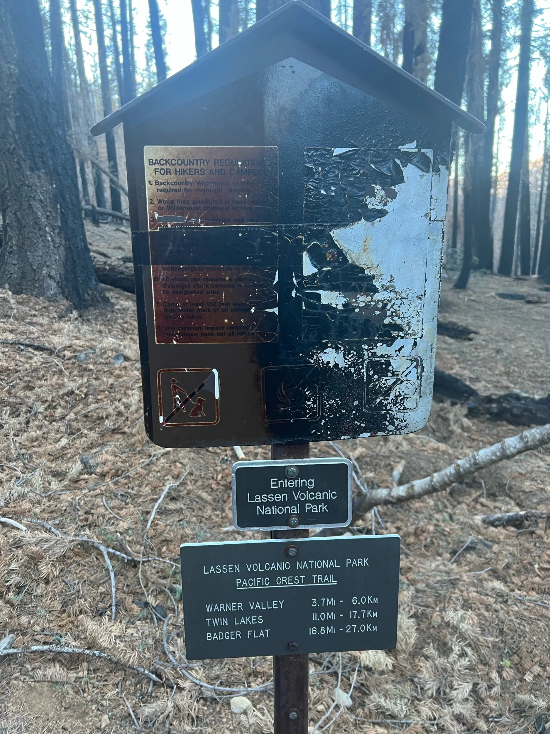
After leaving Chester, we entered the worst of the Dixie Fire burn zone. Our goal was to camp right outside of Lassen National Park, about 15 miles from the trailhead. There are 19 PCT miles through Lassen, but we could not camp there, as bear canisters are required. I don’t think bears know national park boundaries and I don’t think any bears currently live there given the hellscape the Dixie Fire created, but we and all other PCT hikers I know followed the rules. This was the dirtiest and sweatiest stretch of trail so far. It was so incredibly hot, often exposed because all the trees were burnt, and filled with dust and black ash. It was a shame to see Lassen burnt to a crisp, but the Park’s geysers and boiling lakes still amazed.
On July 25, we reached Old Station, the end of the Dixie fire burn area. Old Station consists of a gas station/convenience store, one restaurant (JJ’s), and a post office. We were hoping for breakfast at JJ’s, but it was closed so we hung out outside the convenience store, drinking cold beverages and preparing for a long, hot day, with temperatures expected to be 105-110. First, we checked out the Subway cave, a long tube caused by lava flow, which is about a half-mile off the PCT. After mingling with the curious tourists, we needed to sort through our water strategy. We were concerned with how much water we’d need to carry because there was only one actual water source, a steep 400-foot .3 mile climb about 8 miles in, and a possible cache. But we weren’t sure if the cache was filled, so we might have a 30-mile water carry in 100+ degree heat. Not fun. I managed to avoid the steep climb by cameling up, conserving my 3.5 liters of water and sitting at the shaded area near the steep side trail to the water. By doing this, lots of hikers just kept offering me their extra water that they didn’t need or didn’t want to carry. I was quite happy. I didn’t need their water, but I was quite happy not to have to ration mine, as I drank up in the shade. Perhaps it’s mooching or perhaps it’s just working smarter, rather than harder. 🤷♀️
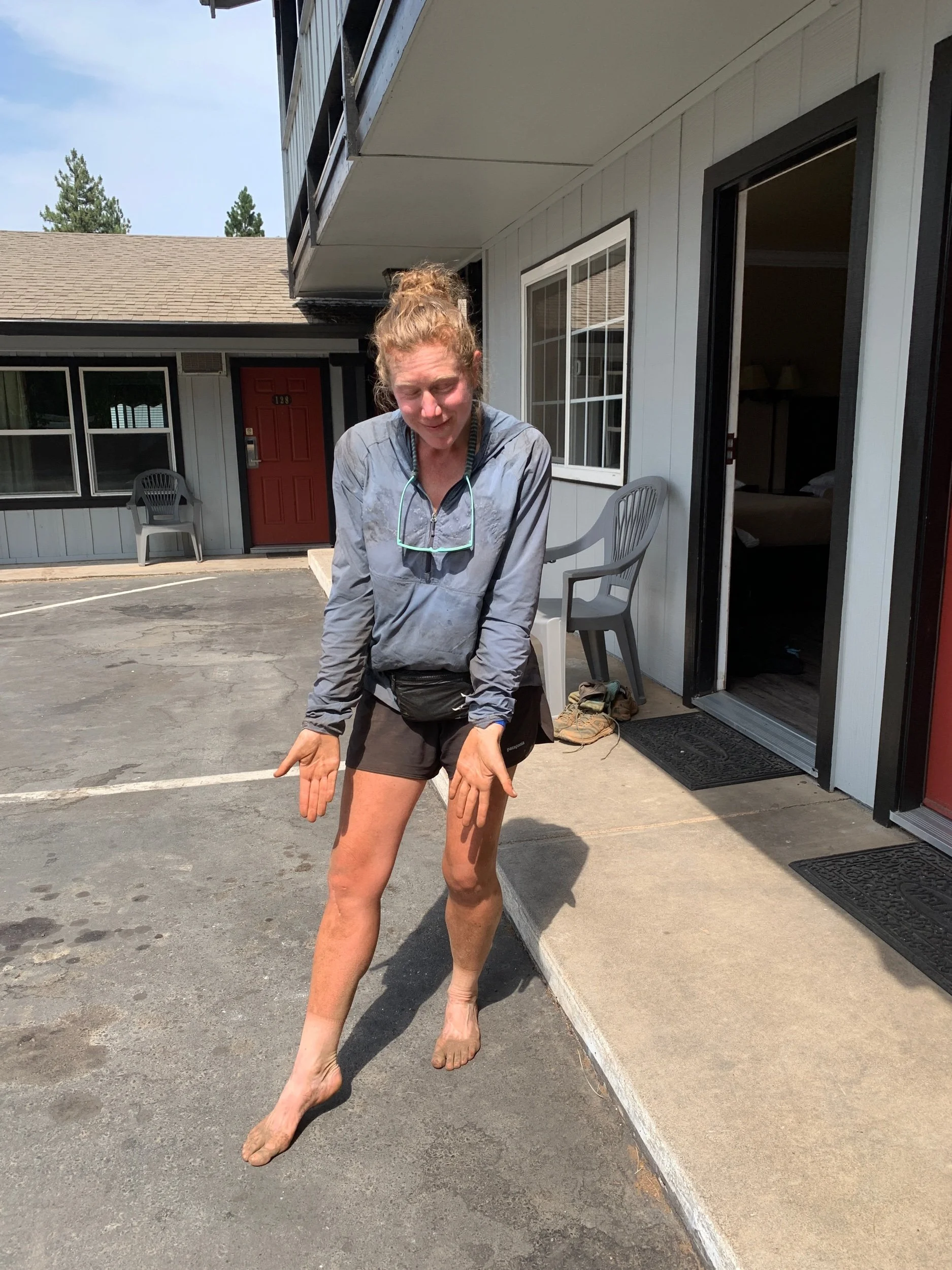
We all sat there from about 2-5:30, as no one could hike in the heat of the day. This is when the night hiking began. We’d siesta during the middle of the day, and hike in the early mornings and until about 10/11 at night. I don’t love night hiking because it’s a little creepy and I need time to decompress at night, as I can’t fall asleep otherwise. Plus, even though I see the rocks in the trail, my feet somehow always manage to clip them, causing me to stumble forward. Despite tripping countless times, my feet’s depth perception is just a bit off. Thankfully, I haven’t broken my toe (yet) or fallen on my face (yet), but I’ve come very close to both. On July 26, we made it to the town of Burney. I was absolutely disgusting, having hiked through scorching heat, dust, ash, and general dirt. I never needed a shower more.
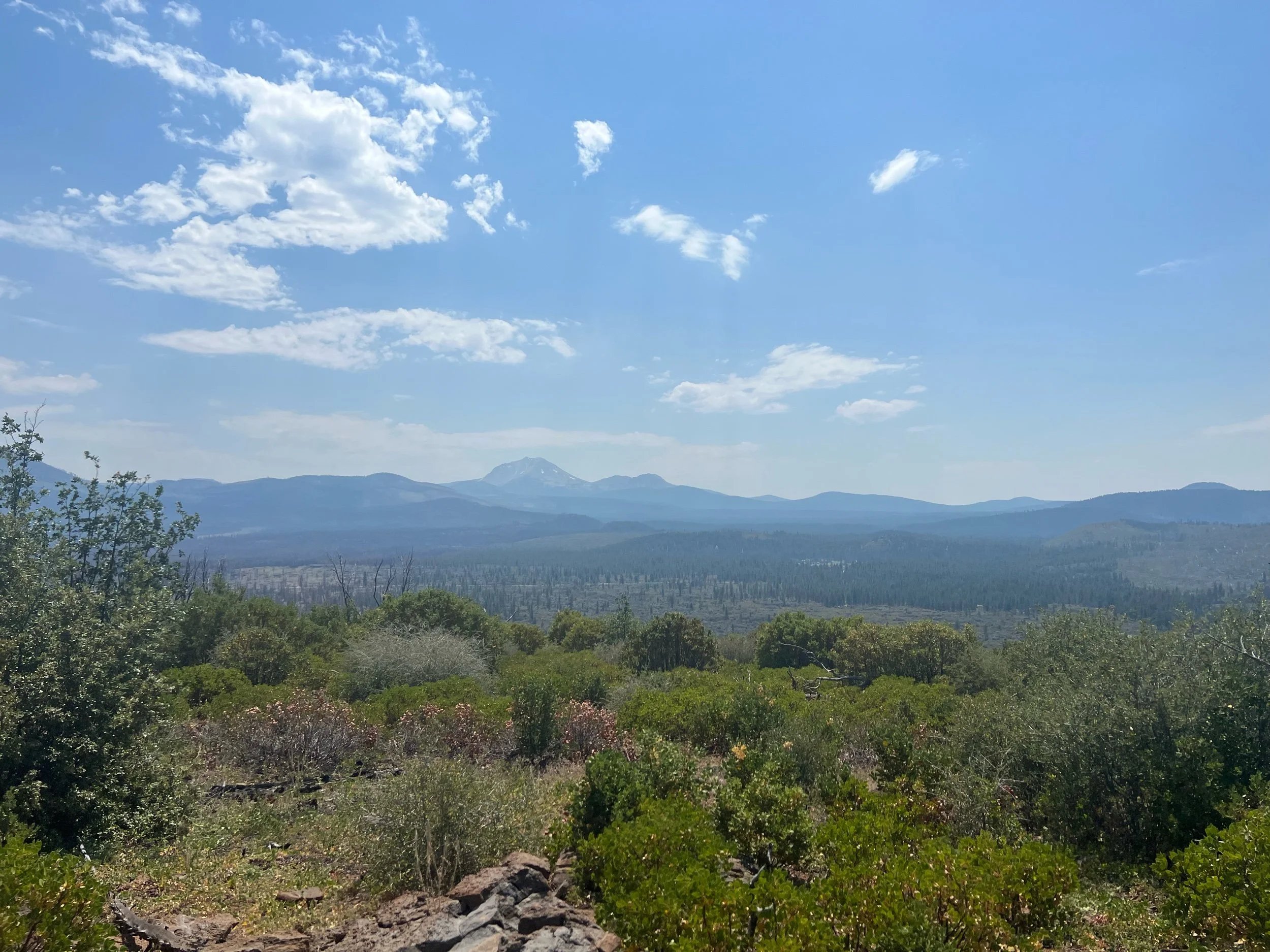
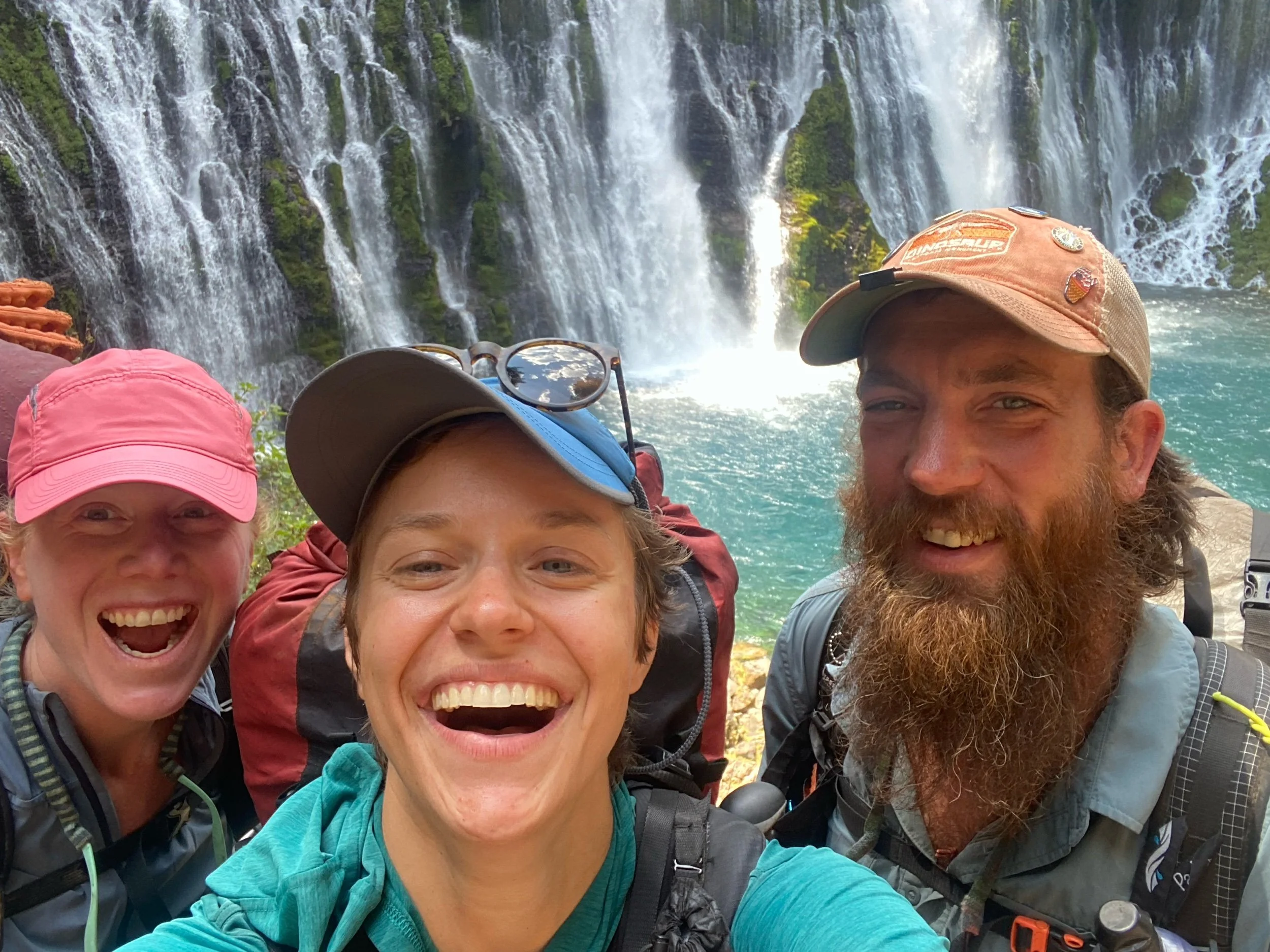
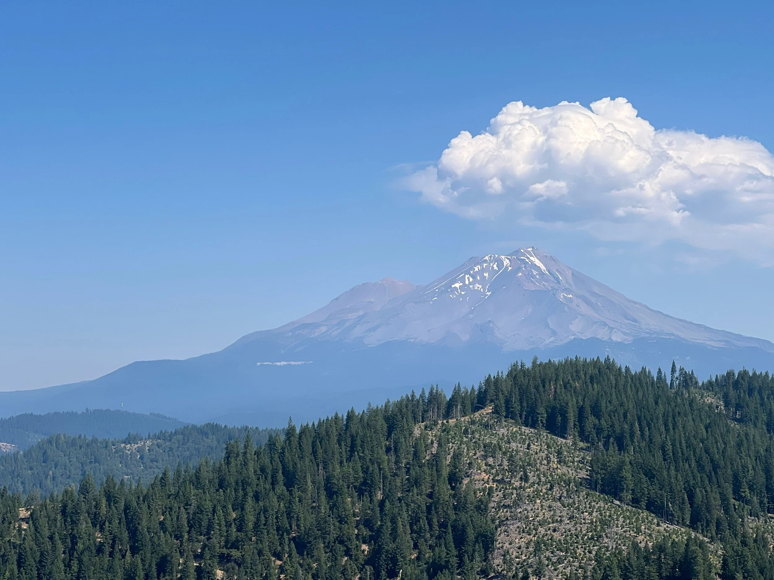
The next section was Burney, to Mount Shasta, the last section we were able to complete of NorCal. This section was beautiful, but hot. Sensing a theme yet?We had finally reached what we considered to be a relatively easy stretch of trail, only to be met with triple-digit temperatures each day. We still managed to get in at least 25 miles most days, even with sitting out the worst of the heat. The star of this section was Burney Falls, an incredible waterfall, right off the trail. The constant views of Mount Shasta were a close second.
I stopped hiking at about 10pm the night before we got to the town of Mount Shasta. I was amazed at how good I was feeling and that I knew I could hike even bigger days. I wanted to see what I could do. I had found my hiking rhythm. We were almost out of California. I couldn’t believe it. Then, the next morning, we got cell service and learned of the McKinney Fire. So, we had to leave the remainder of California and most of Oregon behind for another day. The 1500-mile marker will have special meaning, as it’s the last consecutive mile marker I will hit on the PCT.
p.s. Apologies for the rambling length of this post… I haven’t had much time to write, let alone edit! I hope I did NorCal justice… it was a lot to fit into a single post!

