Jumping Ahead and Finding My Way Back
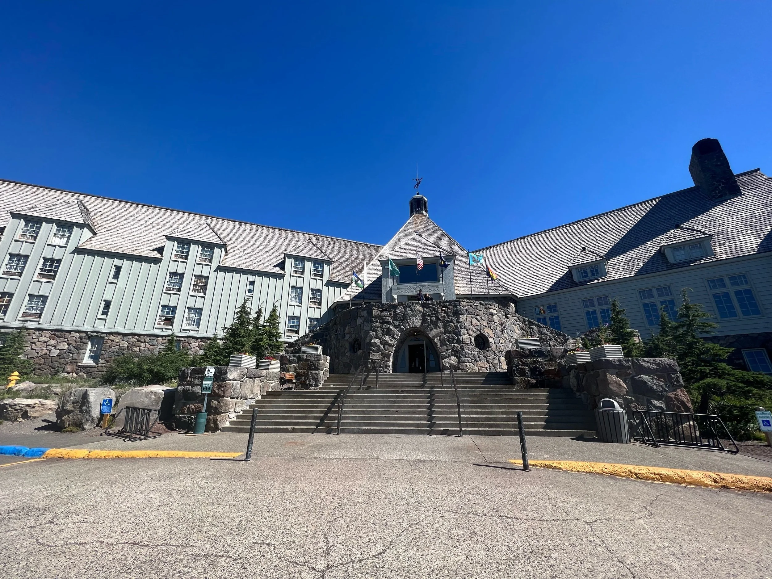
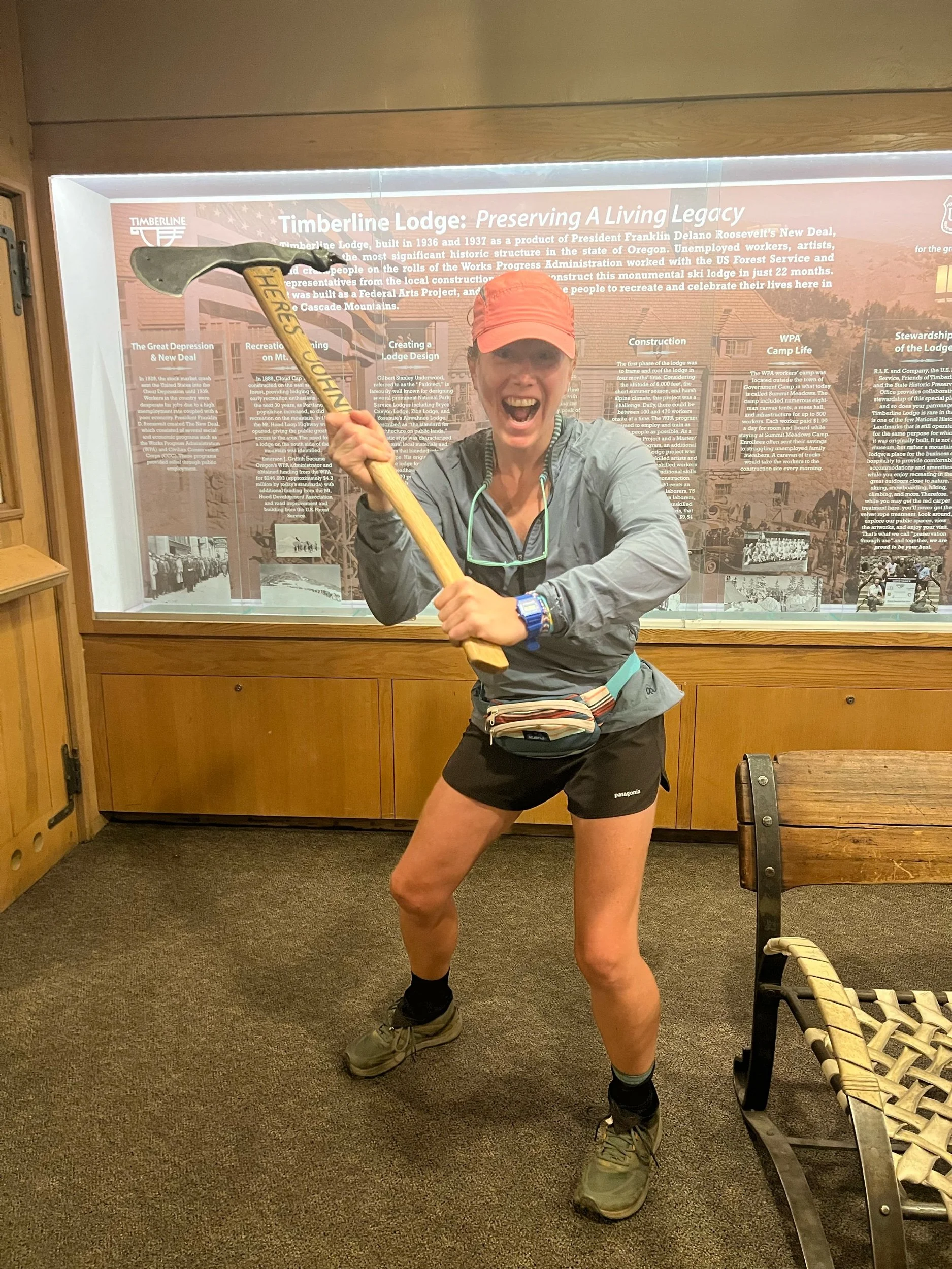
I’m currently writing from the Summit Inn, which sits right off mile 2394 of the PCT in Snoqualmie, WA, about an hour from Seattle. Since my last post, I’ve walked from Timberline Lodge (mile 2097), or about 300 miles, consisting of 50 miles of northern Oregon and nearly the first half of Washington. We arrived at Timberline Lodge on August 3, after taking three days to figure out travel logistics from Medford, Oregon, shopping for and organizing our four Washington resupply boxes, and actually driving the nearly six hours to the Portland area, from Medford. Timberline Lodge sits right at the base of Mount Hood. You may recognize it as the Overlook Hotel from the movie, The Shining. While there is not currently an axe murderer running around, there is an excellent breakfast buffet, which is legendary among PCT hikers. I wish I could have hiked to the buffet, but my feelings of lament did not override my feelings of hunger and indulgence. So I indulged. And I plan to again as a celebratory finish if I can hike Oregon after Washington (which is looking up! Fingers crossed!).
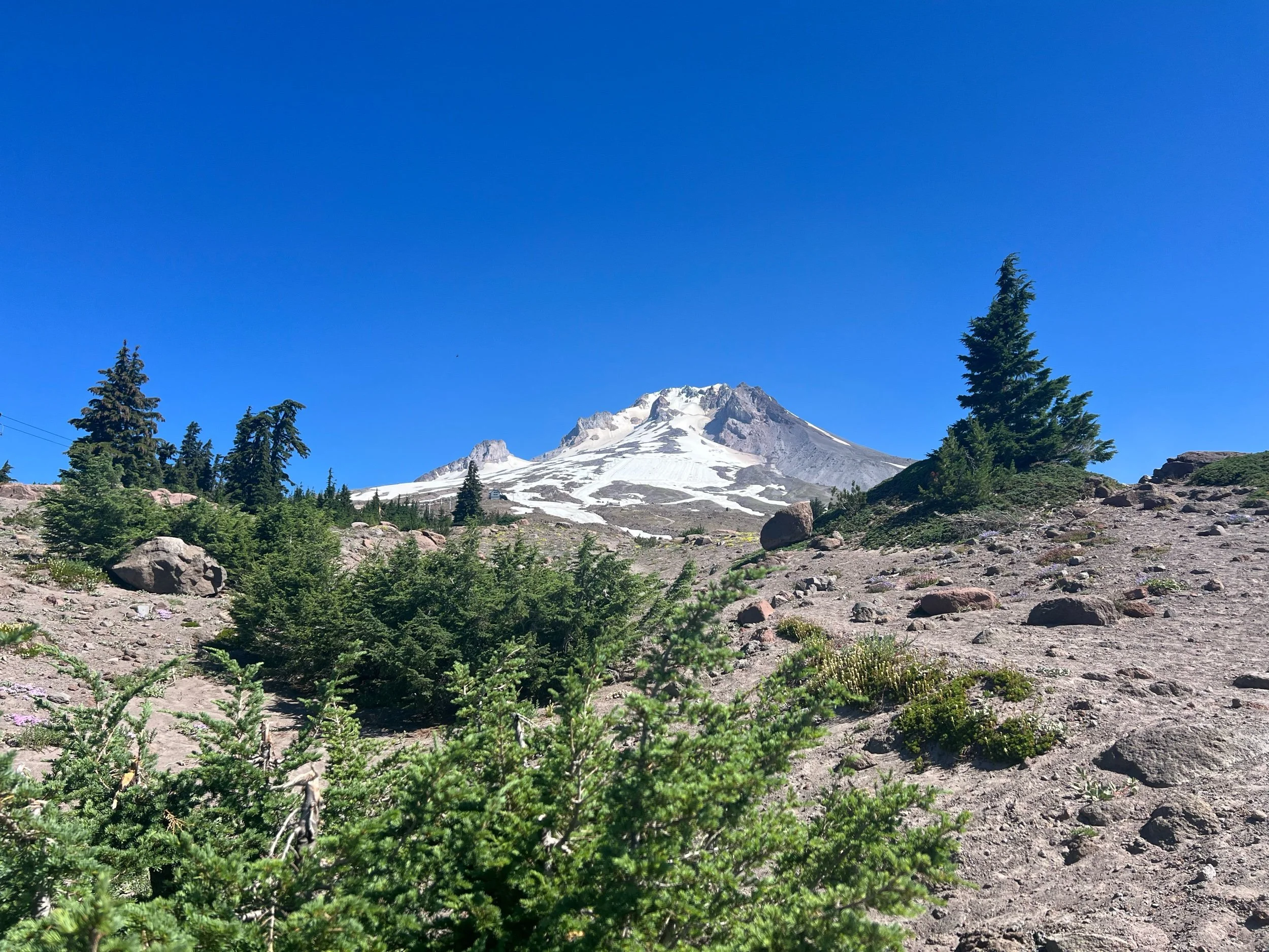
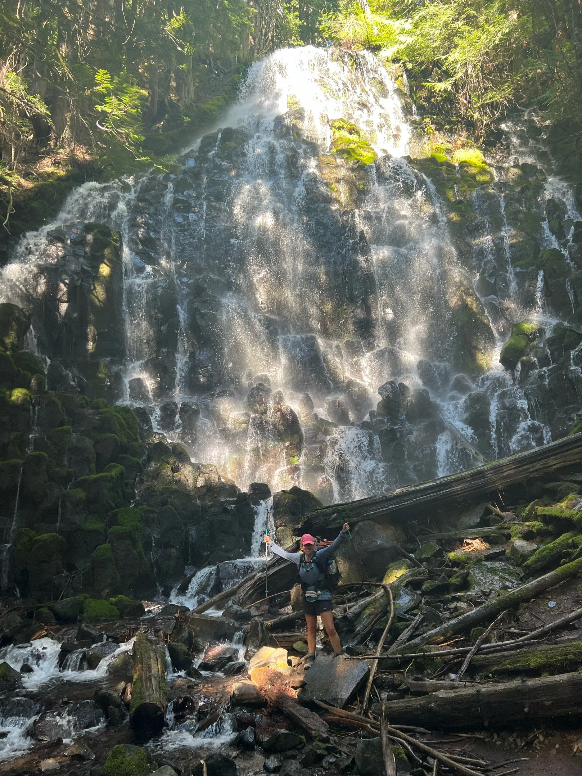
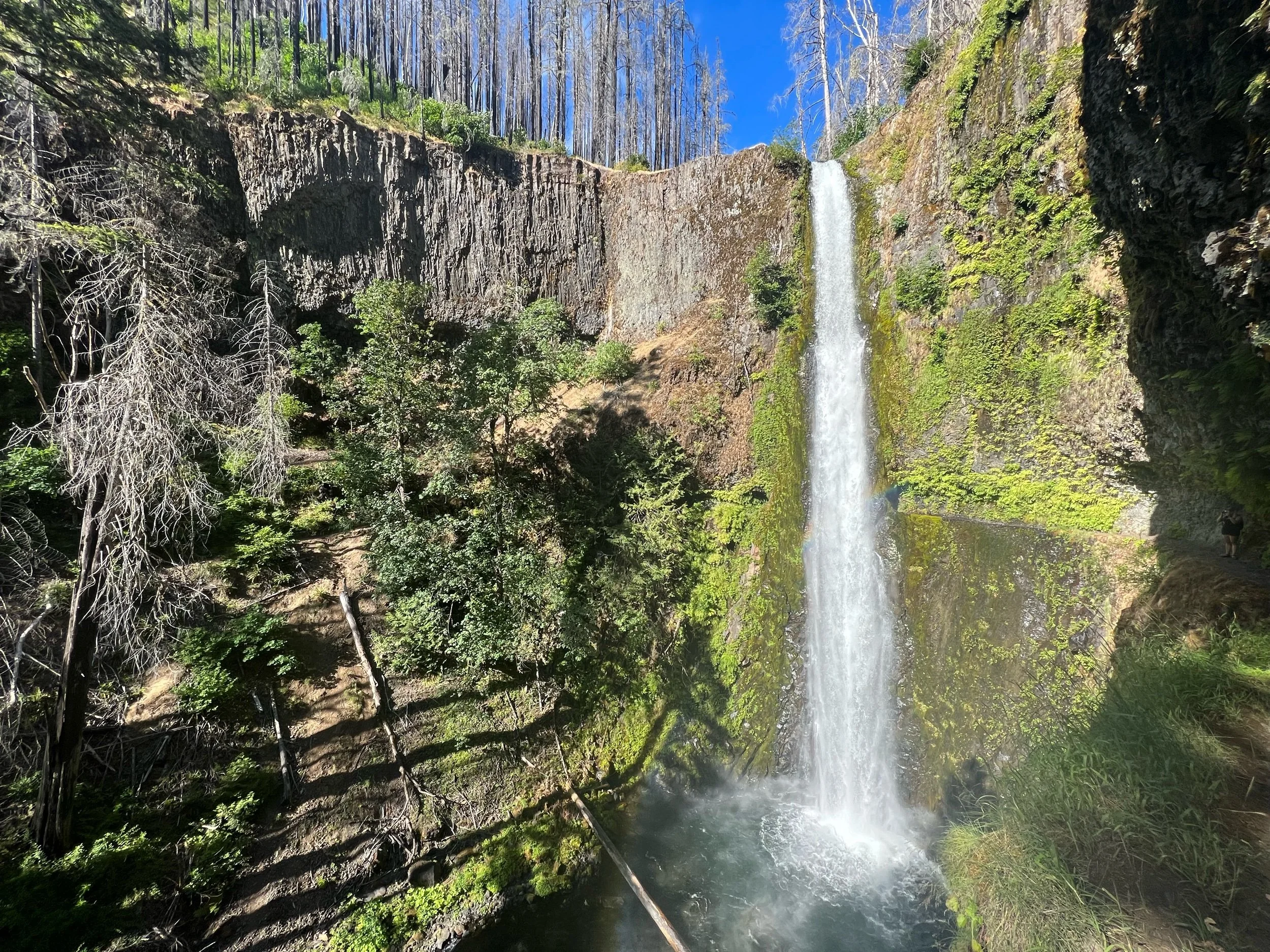
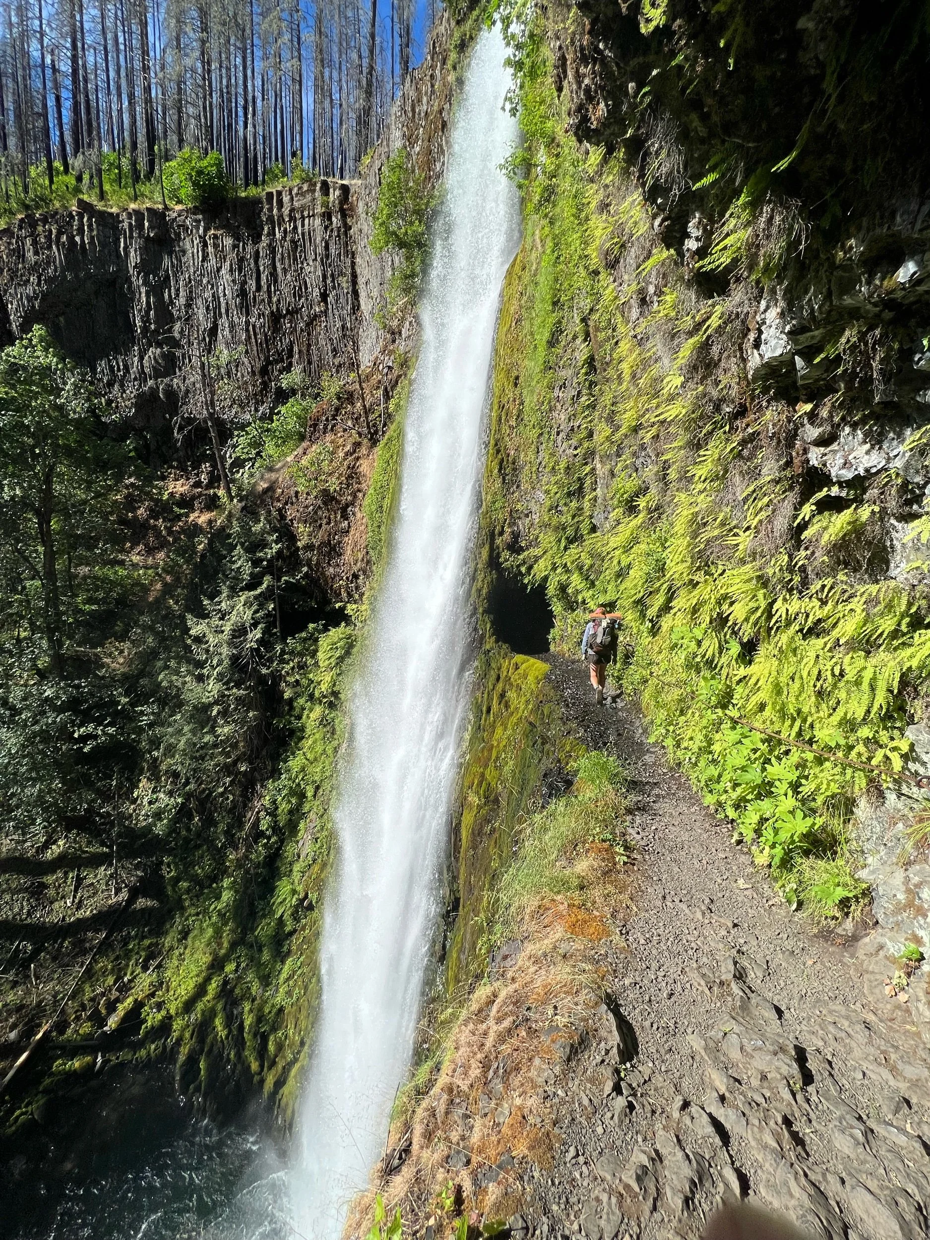
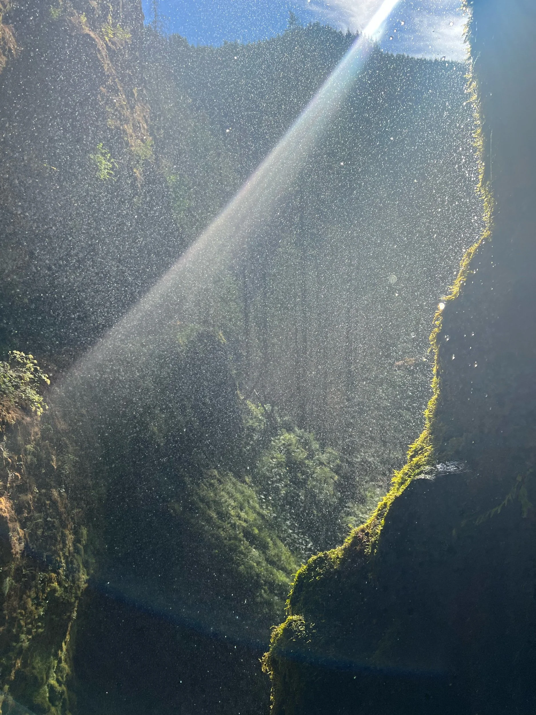
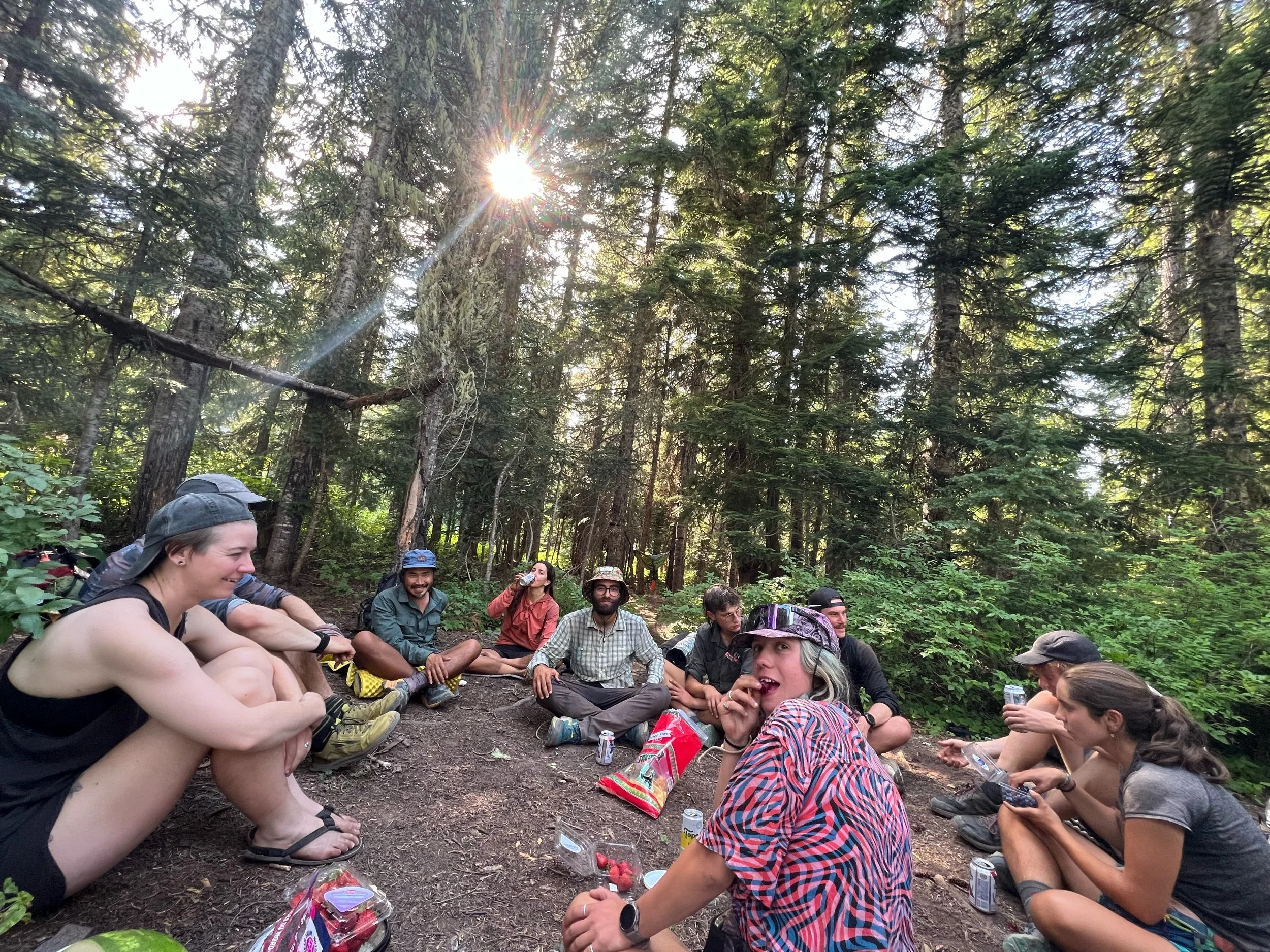
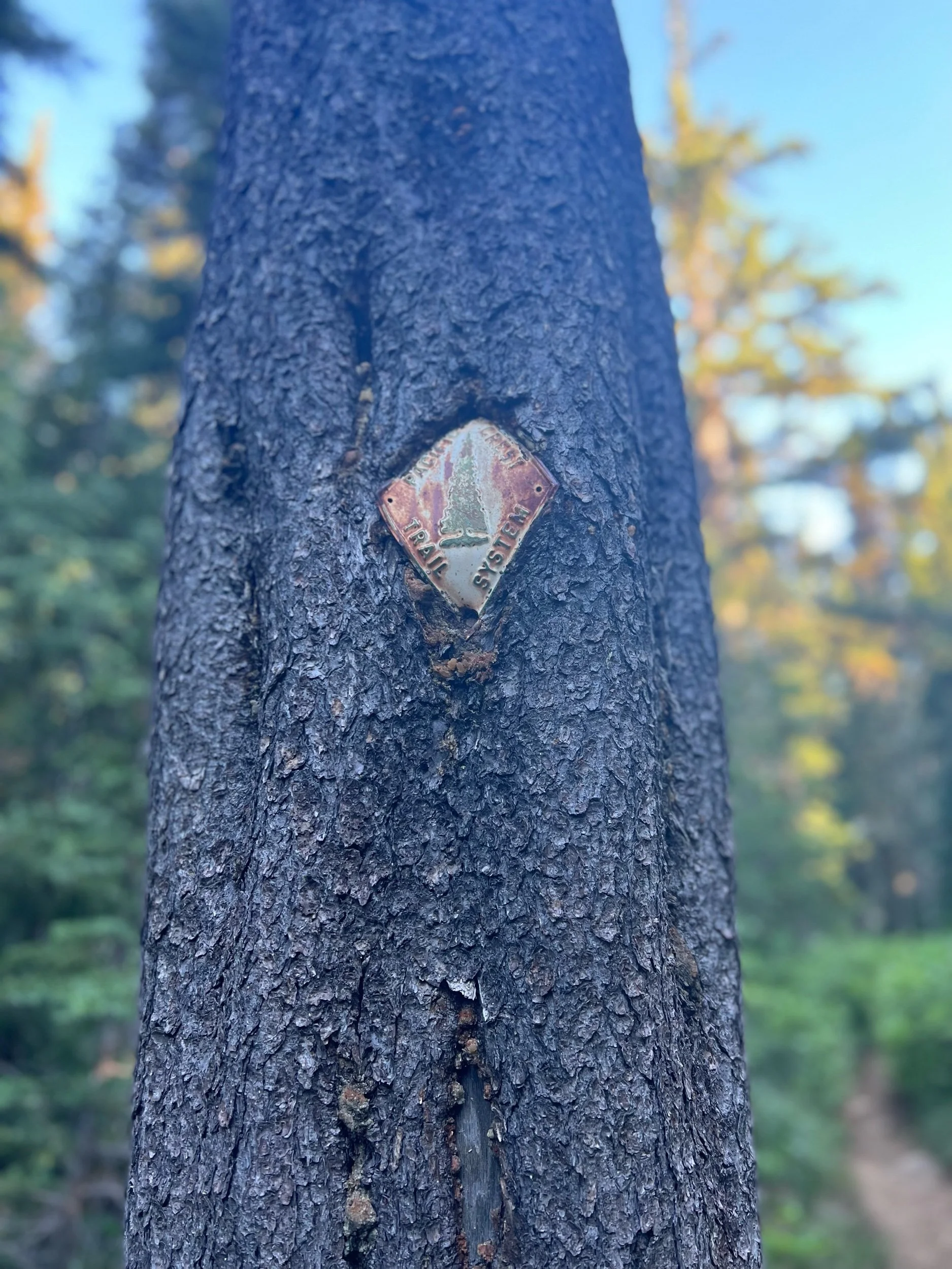
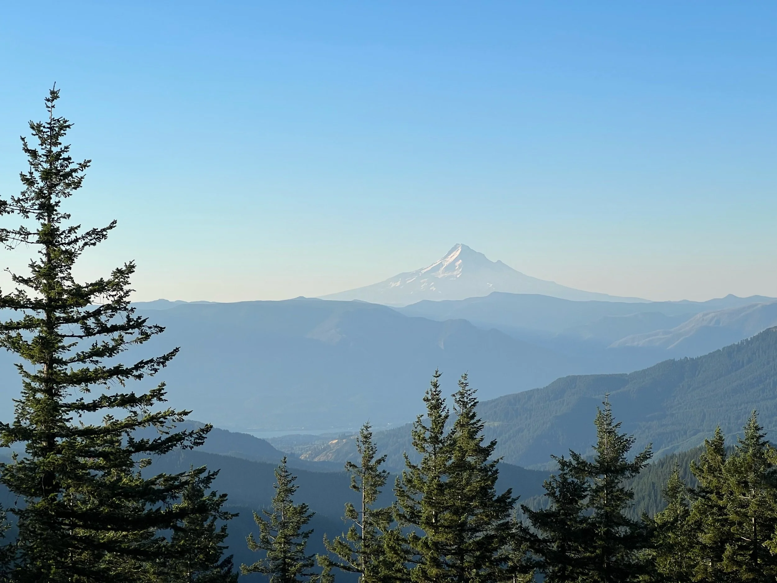
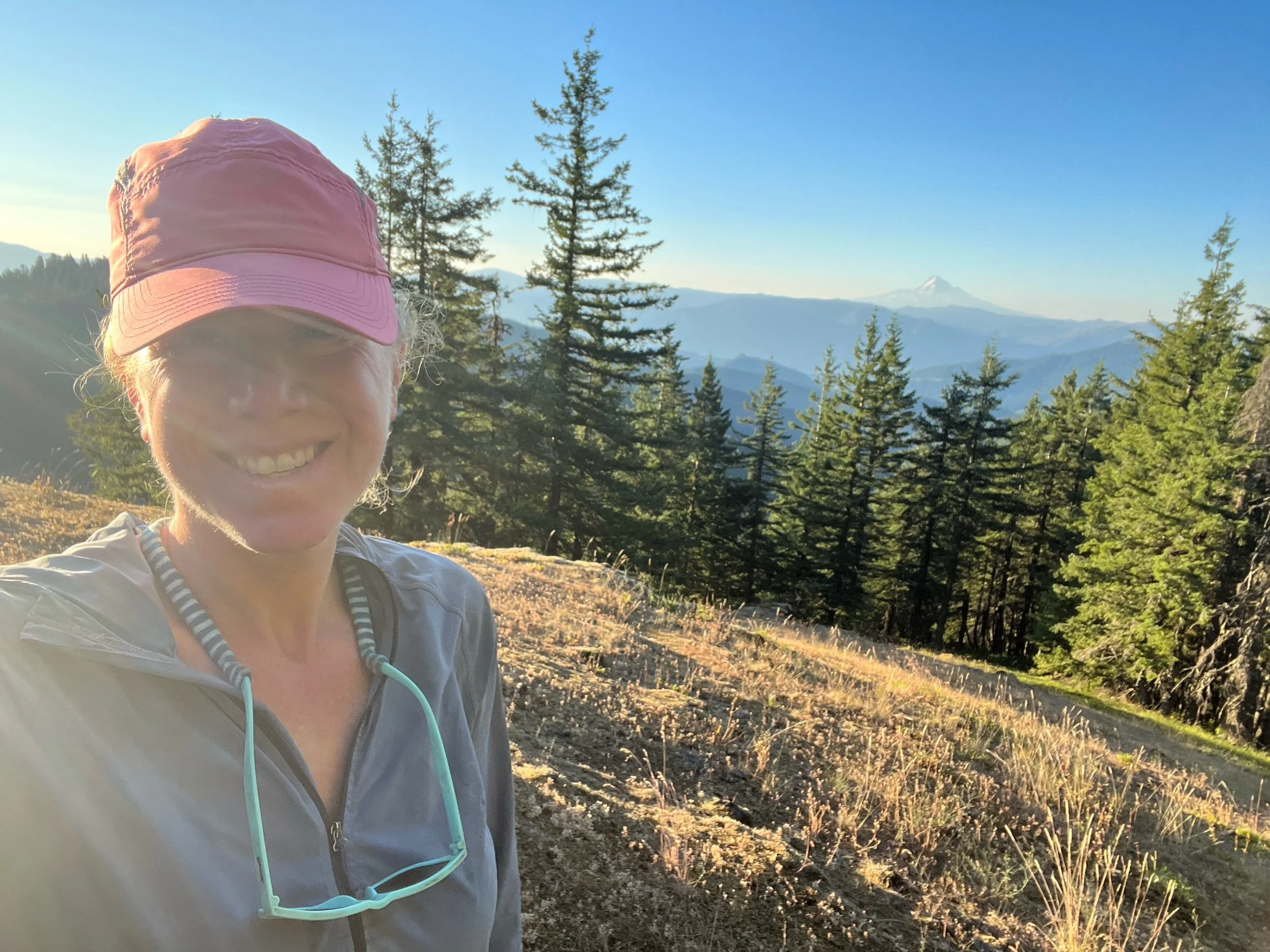
It felt odd to be all of a sudden dropped in a different landscape, having jumped up from mile 1501, to mile 2097. It didn’t feel right to me. There were a lot of people who had skipped up, some of whom I hadn’t seen in hundreds of miles. There were also others who had walked all the way there, most of whom had either started the PCT in March or were just very fast and missed the fires. I was excited to see old faces and jealous of the new ones. My pity party was getting old, but thankfully the scenery helped to distract me. It was stunning. Between the views of Mount Hood, Mount Adams in the distance, and the spectacular waterfalls, I was awestruck. It was a jolt from the landscape of NorCal, but I was managing to adjust. We passed by two waterfalls in particular. First, we walked by Ramona Falls, a standard spectacular waterfall. But then, we reached Tunnel Falls, which is exactly what its name implies. The trail goes through a tunnel of rock, with gushing water spraying down hundreds of feet on the outside. I’ve never seen anything like it and felt as if I were in another world.
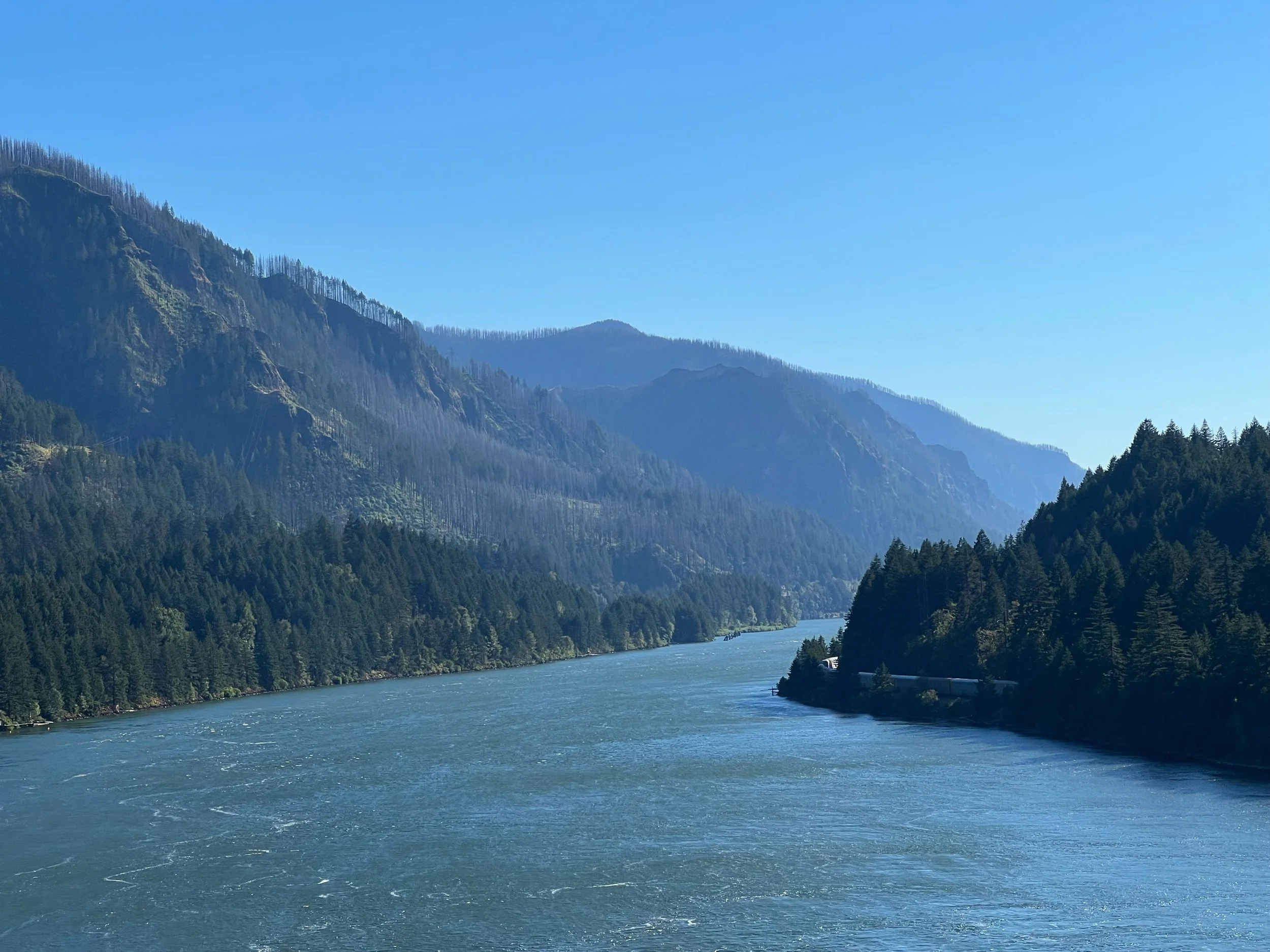
On the morning of August 5, we reached Cascade Locks, a small town on the Columbia River that has the honor of being the lowest elevation on the PCT (somewhere around 200 feet). We stopped only briefly in Cascade Locks, to resupply, stop at Thunder Island Brewery, and get some of the famous soft serve ice cream.
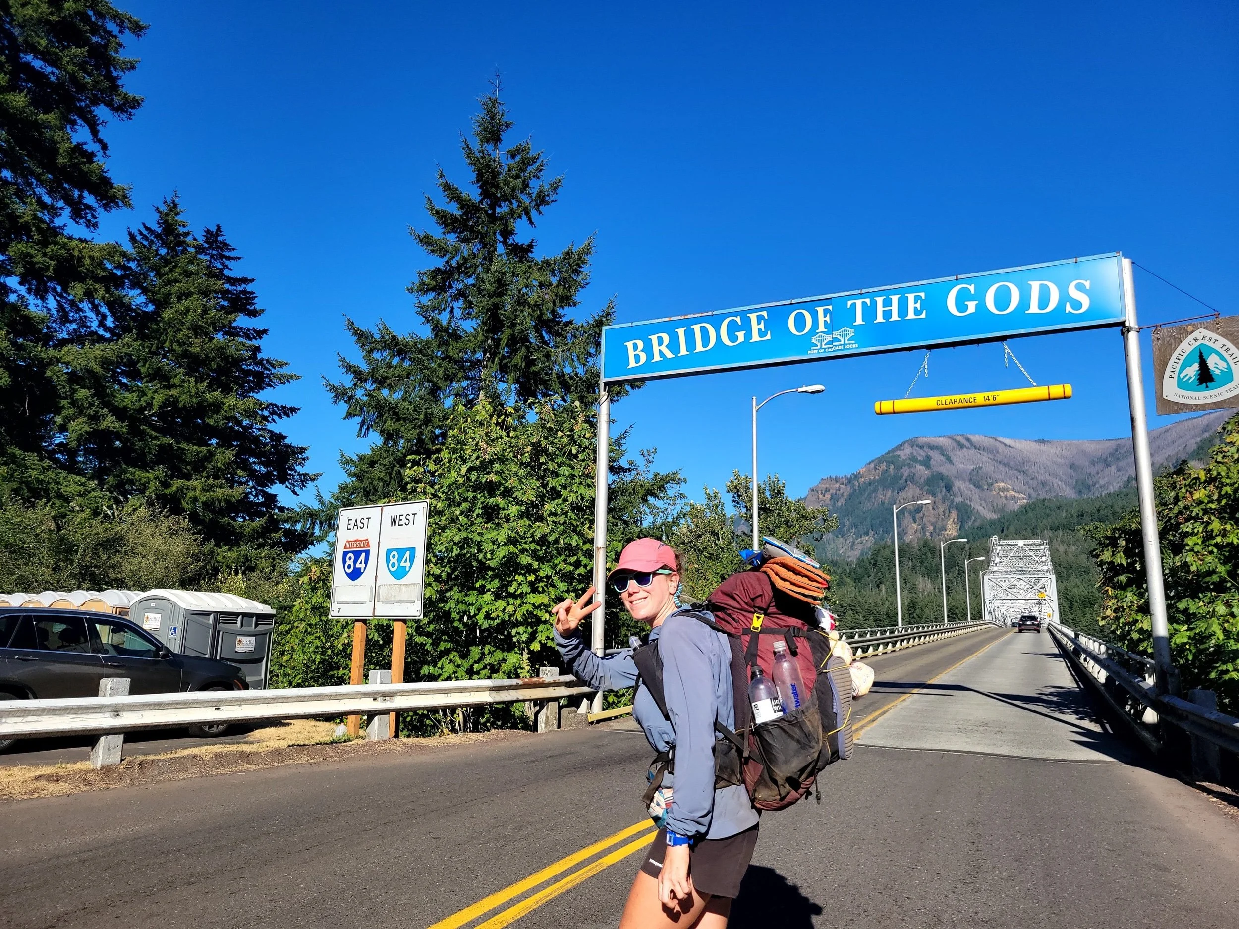
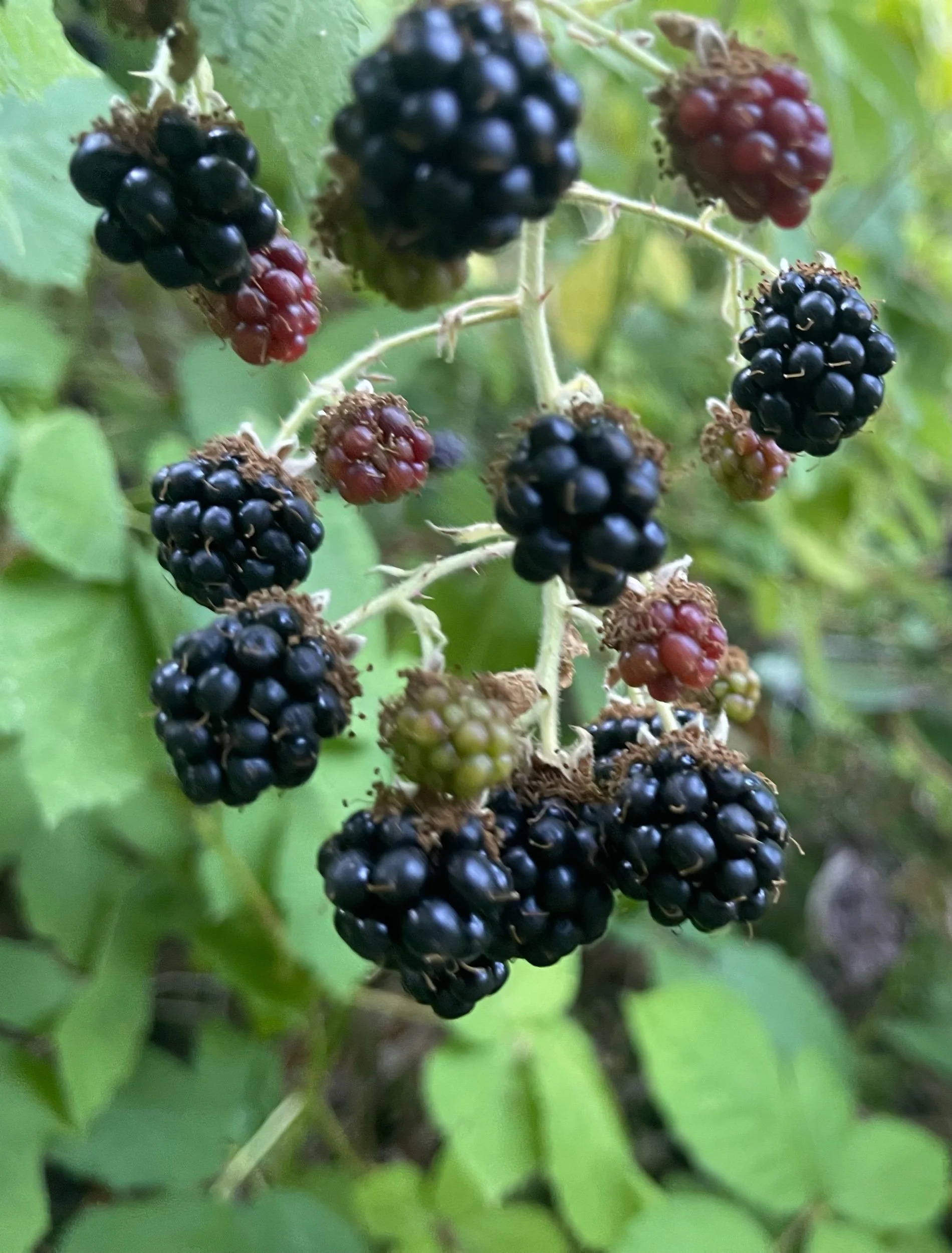
The iconic Bridge of the Gods connects Oregon to Washington, from Cascade Locks, to Stevenson, WA. This bridge is a huge milestone for PCT hikers, as it marks the completion of two states. It didn’t quite have the same feel for me (I promise I’ll stop my little pity party soon), but I still relished in walking over this bridge. We only needed to hike a few miles after the bridge, which was a good thing, as I moved at a glacial pace, picking nearly almost every blackberry that lined the trail.
Immediately after reaching Washington, we started climbing and descending. The end of NorCal and Oregon are considered the easiest sections of the PCT because there is the least amount of elevation gain and loss. Washington, particularly northern Washington, is known to be just as challenging as the Sierra or even more so. While we aren’t as high as we were in the Sierra, the elevation gain and loss is more significant. We started to sense this as we got further into Washington, although the hardest parts are still to come.
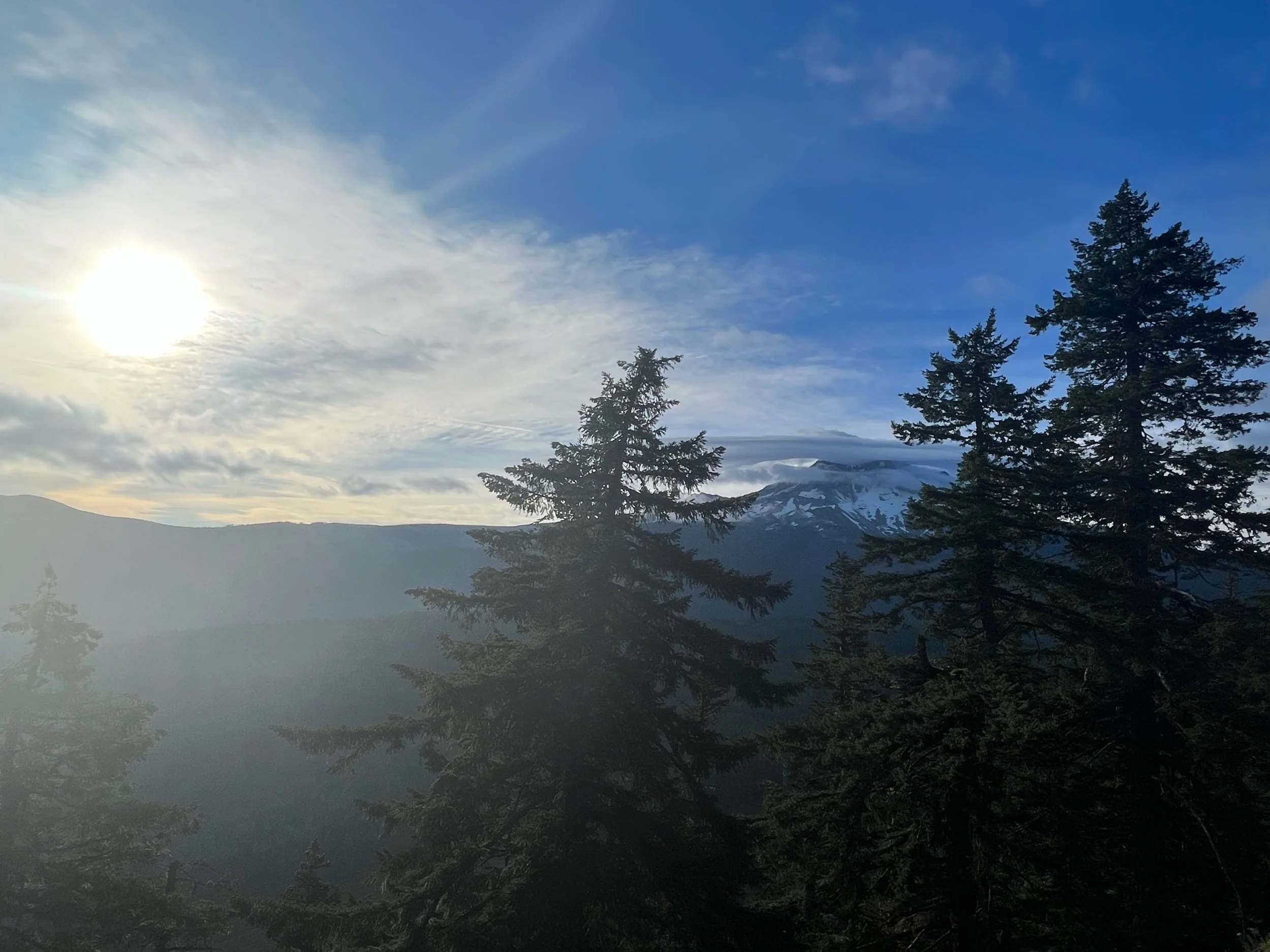
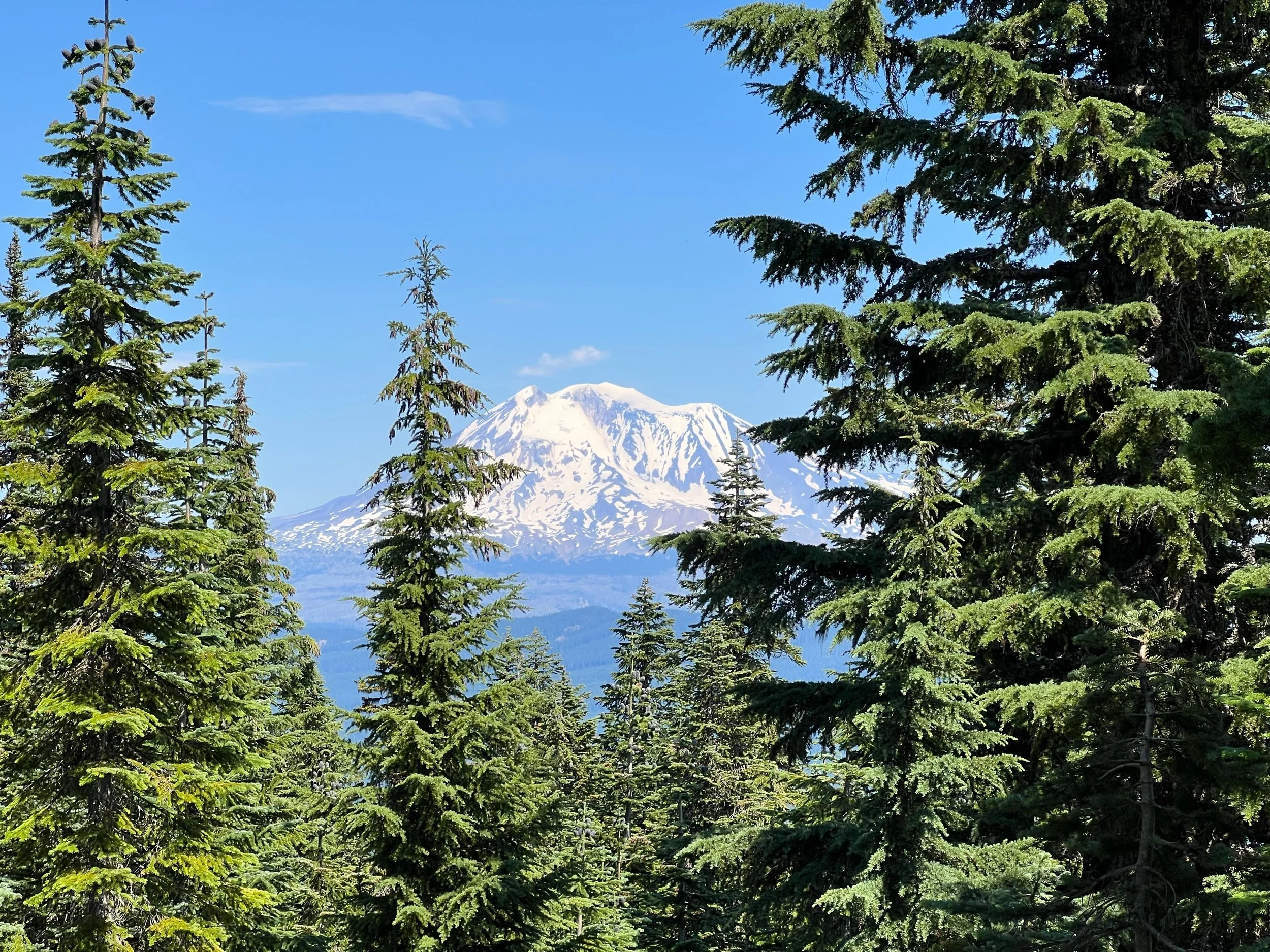
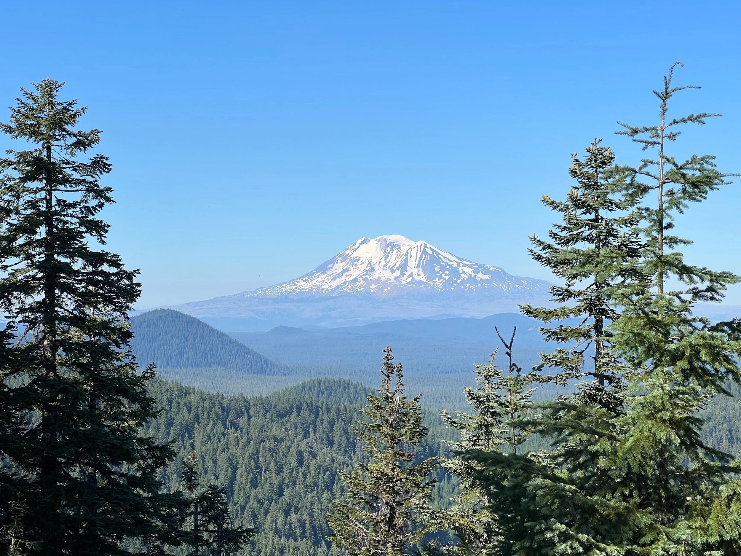
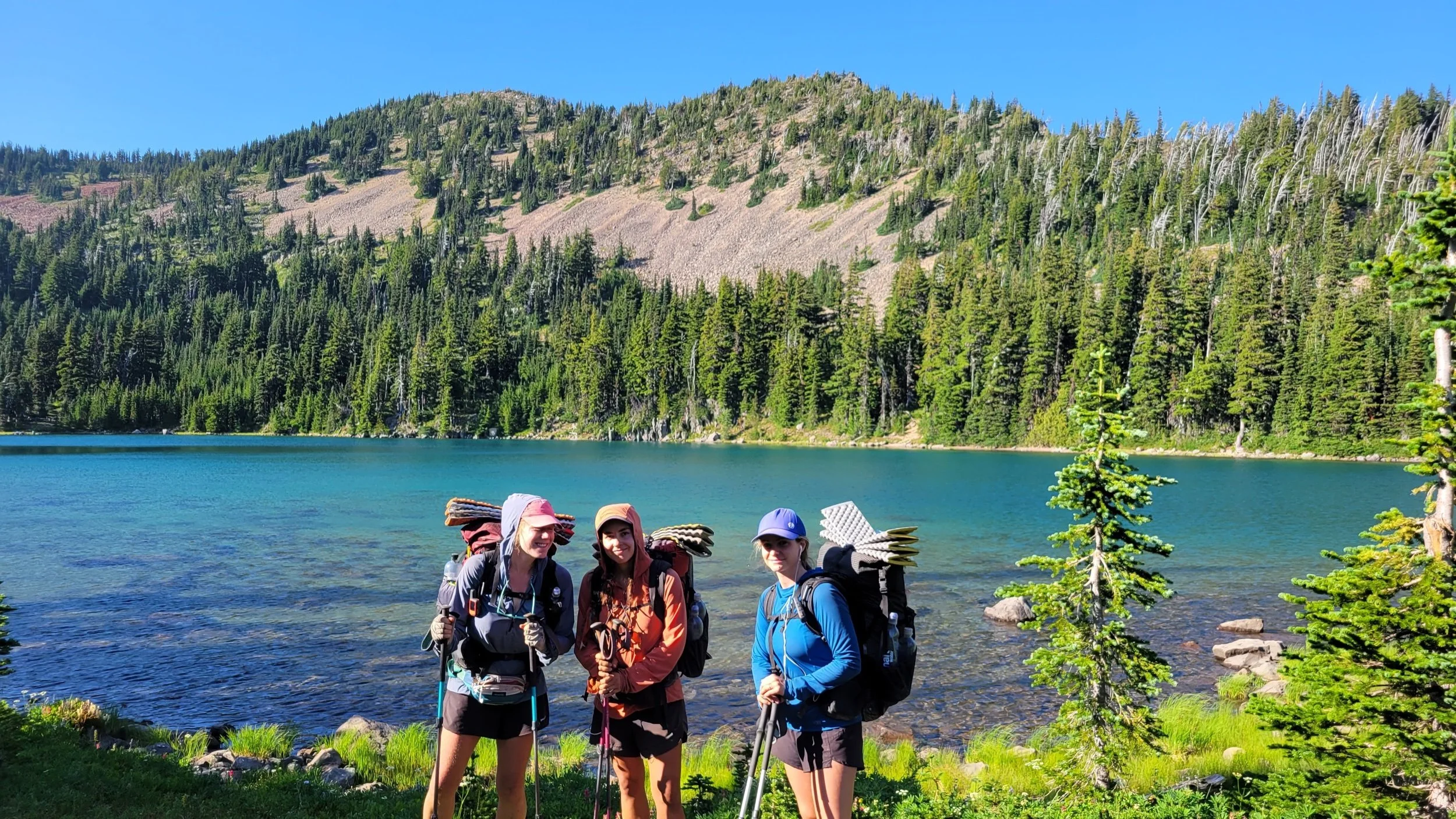
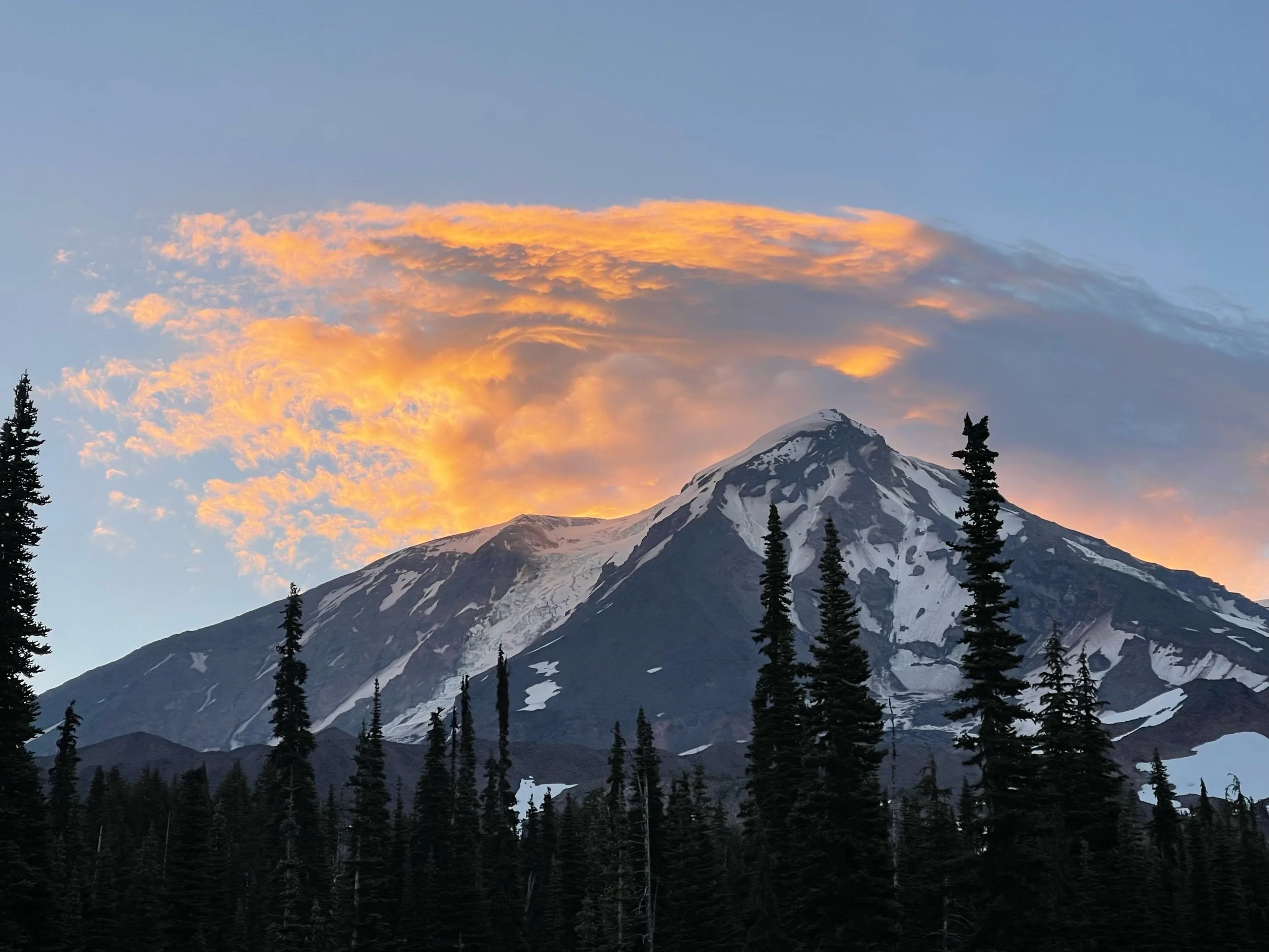
As we walked from Cascade Locks, to Trout Lake, WA, Mount Adams came into full view with some glimpses of Mount Jefferson and Mount St. Helens. Mount Adams became almost a permanent fixture in the landscape for a few days. In the photos, I believe (I should know) Mount Adams has the flatter top and Mount Jefferson has the more pointed summit. This was also the section of the trail with the most trail magic. Each day, another nice person was set up with cold beverages, fruit, and other delicious snacks. For one, I was about 2.2 miles away, and I heard from another hiker going in the other direction about the trail magic. I got there in a little over 30 minutes, even though walking at a normal pace would take me 45. In order of speed, from slowest to fastest, there’s the speed of a cheetah, the speed of light, and the speed of a thru-hiker when they hear of trail magic. Amazing what the promise of fresh watermelon can do.
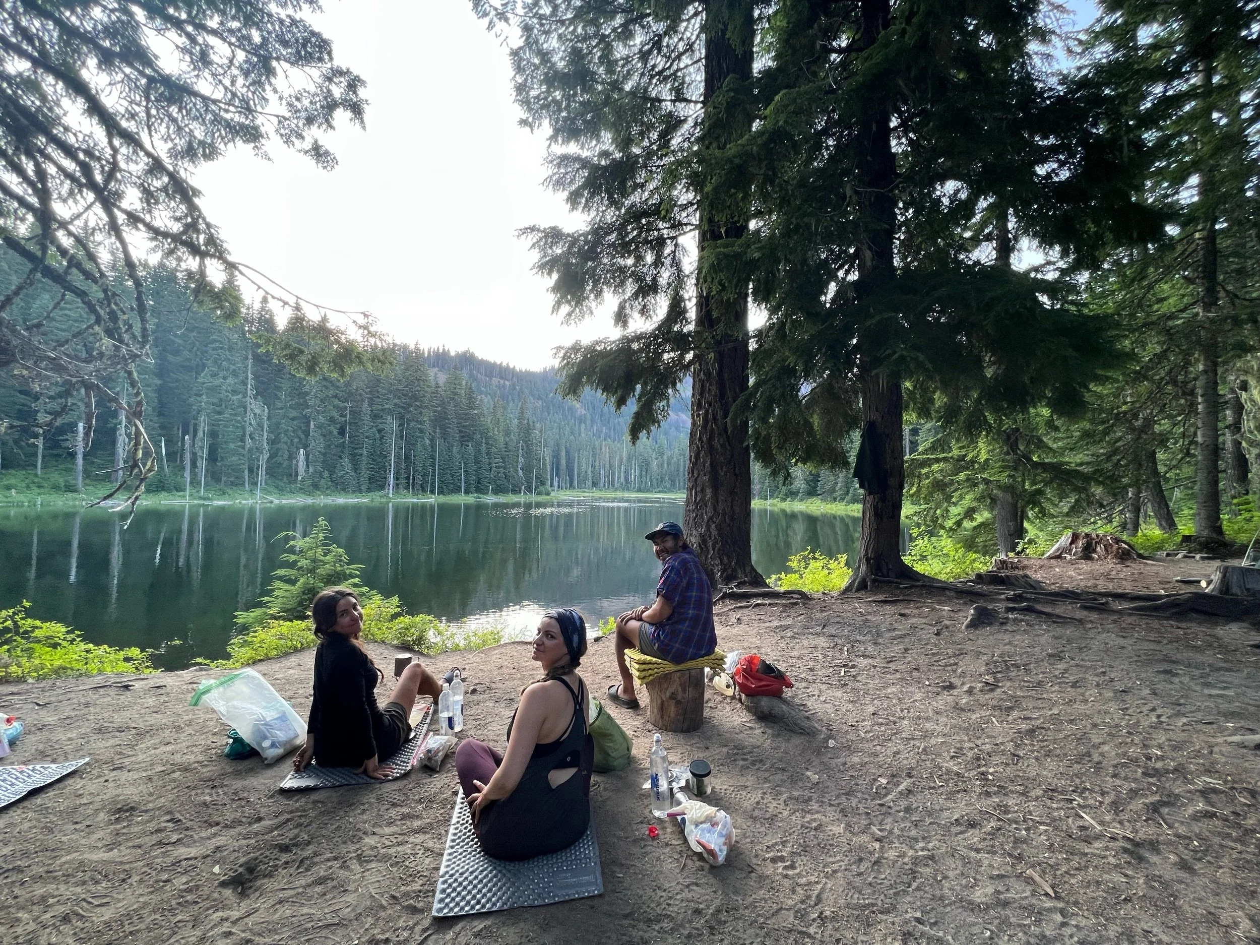
On August 9, we reached the town of Trout Lake. Trout Lake is a charming town, which consists of a general store, cafe, taco truck, and inn. All were amazing and cater heavily to hikers. I believe the store makes more money in August than in all the other months combined. Given it was a little rainy that day and we preferred a hotel shower to the public one, we decided to stay the night, which proved to be an excellent choice. The beds were perhaps the best ones we’ve had on trail. For some behind the scenes action, the photo below is of socks, after 3-4 pre-washings, so that all of the laundry is not washed in pure dirt water, just semi-dirt water.
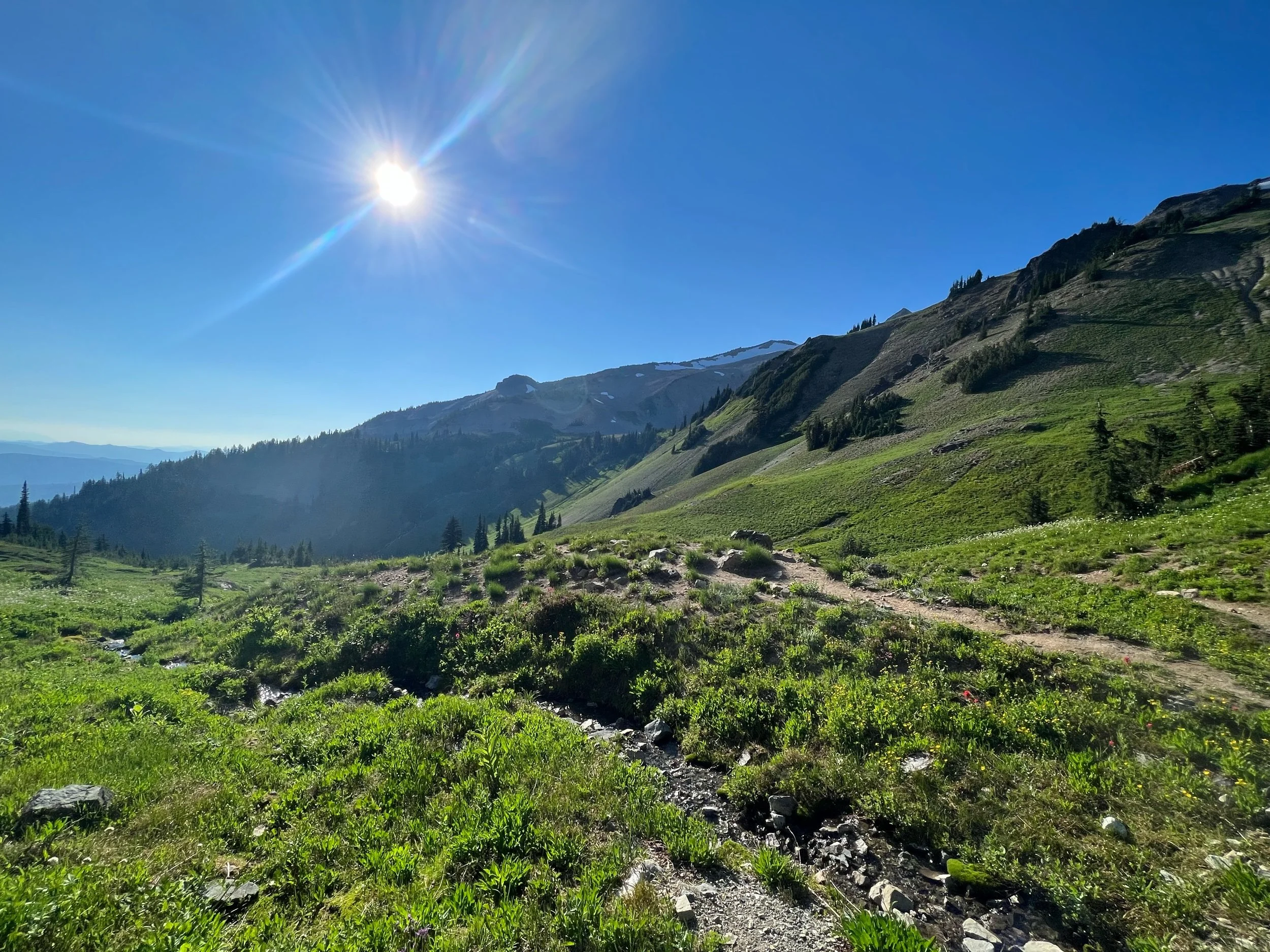
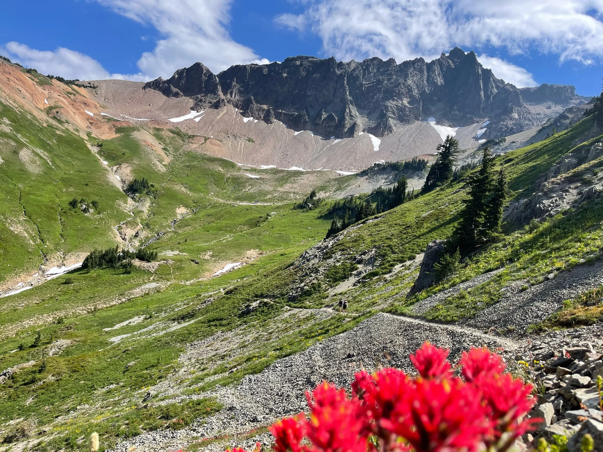
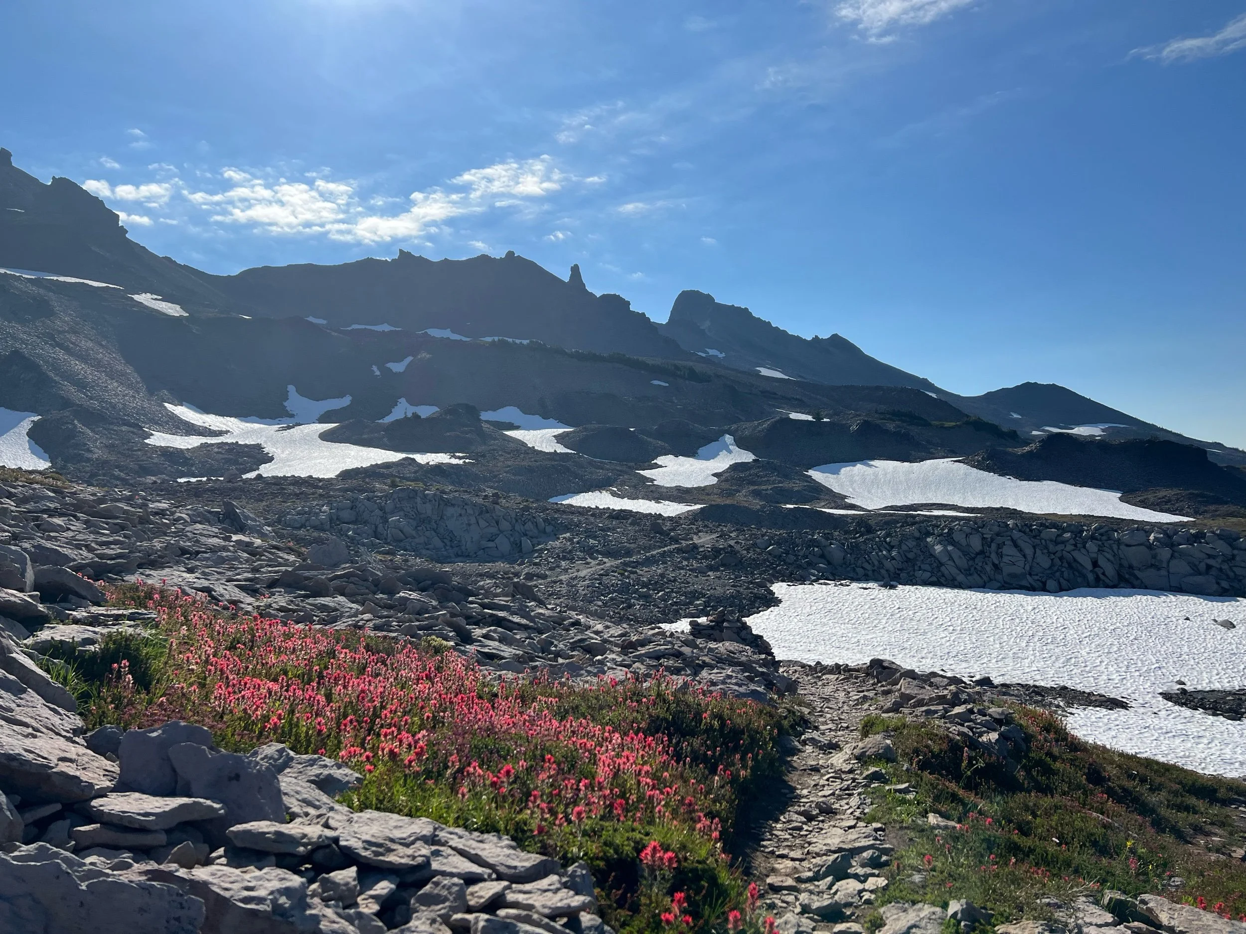
In contrast to the dirty socks above, the next section, from Trout Lake, to White Pass, was perhaps one of the most beautiful on trail and rivaled some of our days in the Sierra. It was in this section that we walked through the Goat Rocks (named for the mountain goats that roam the area) and Mount Rainier came into sight. First, on August 11, we climbed and crossed Ciphus Pass. Once we reached the northern side, it looked like Ireland had been transplanted on top of a dormant volcano and lined with pine trees, so perhaps nothing like Ireland at all. But irrespective of the landscape’s similarity to Ireland or not, it was bursting with greenery and water, with Mount Adams in the growing distance.
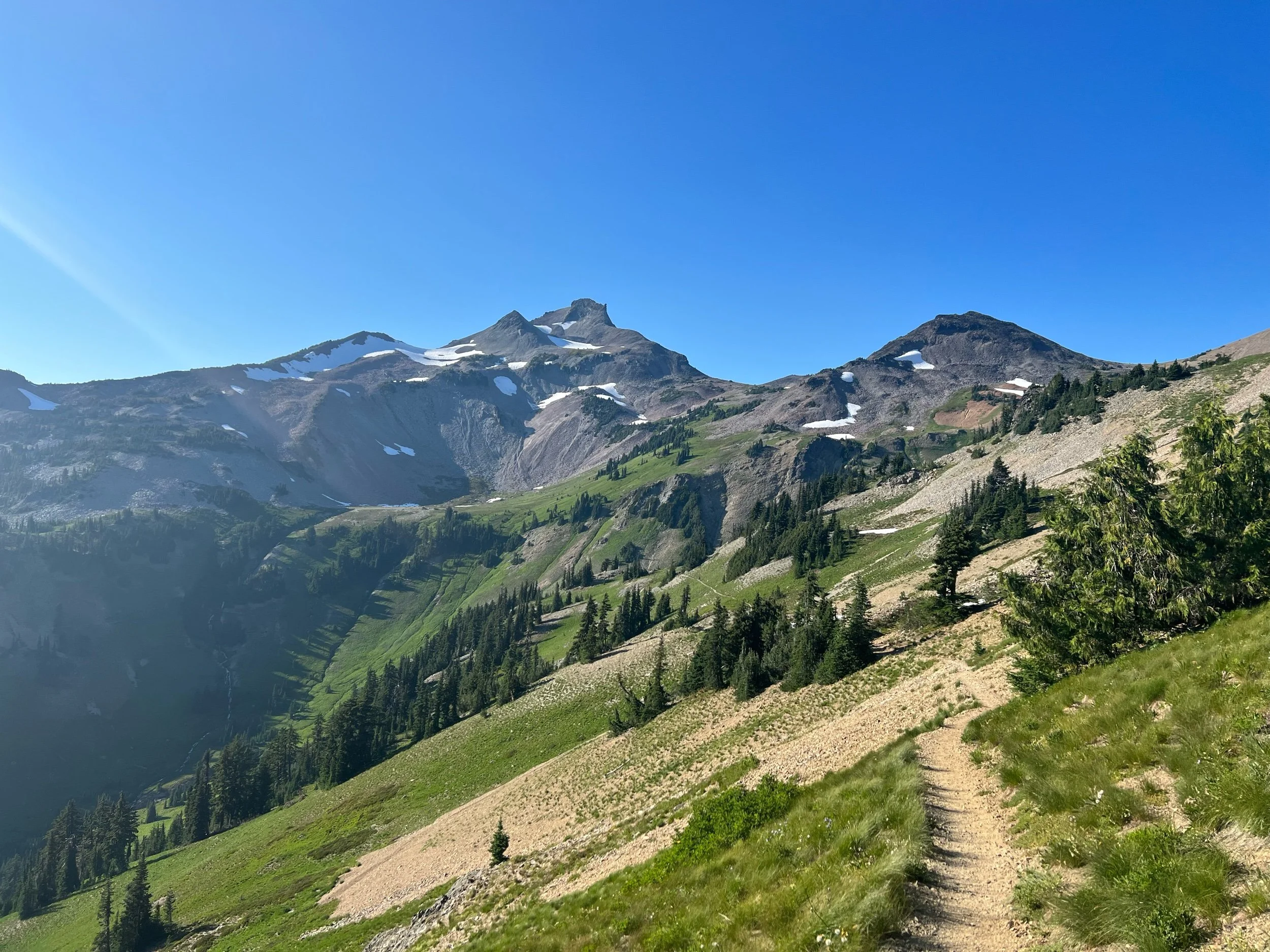
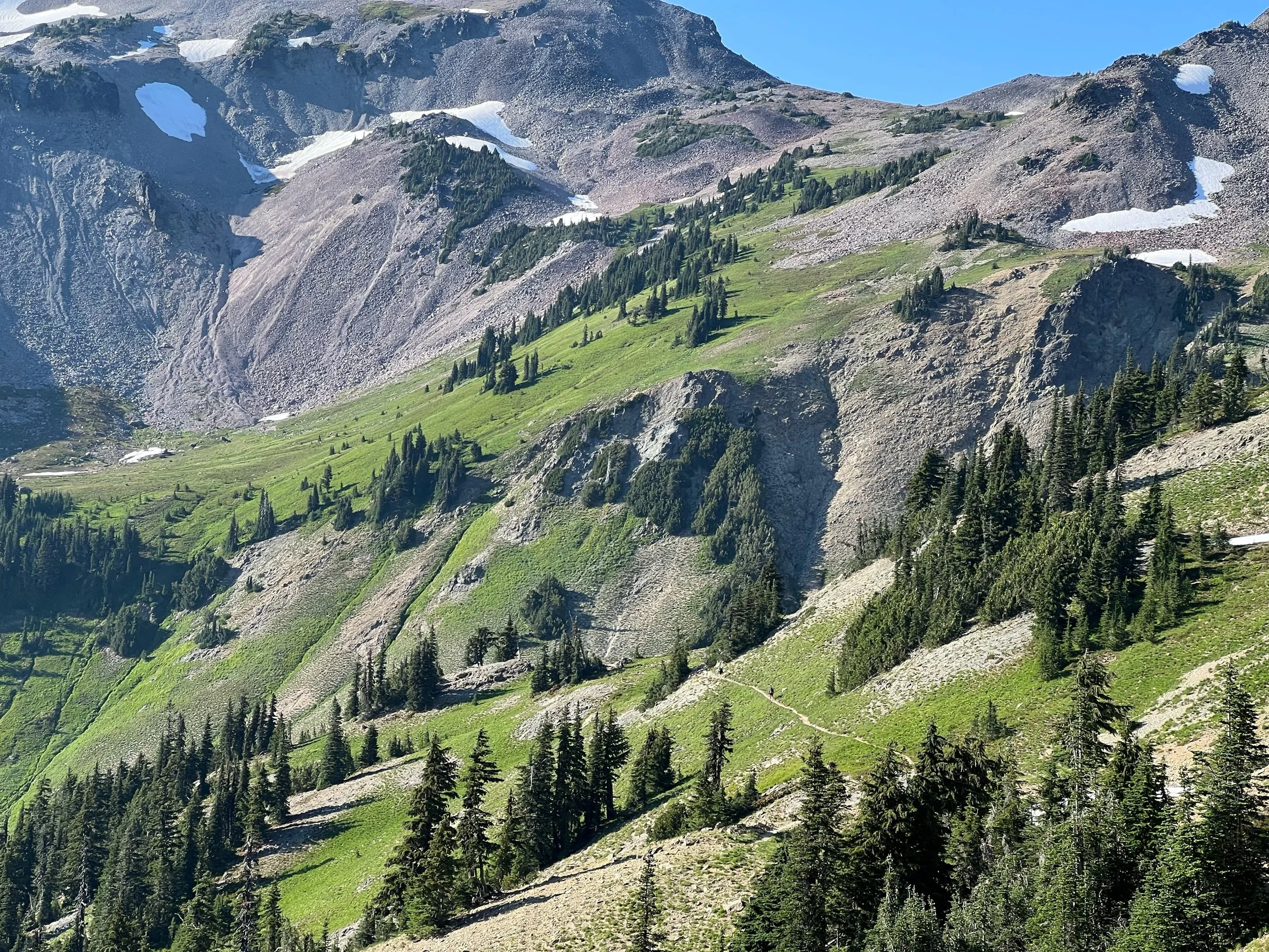
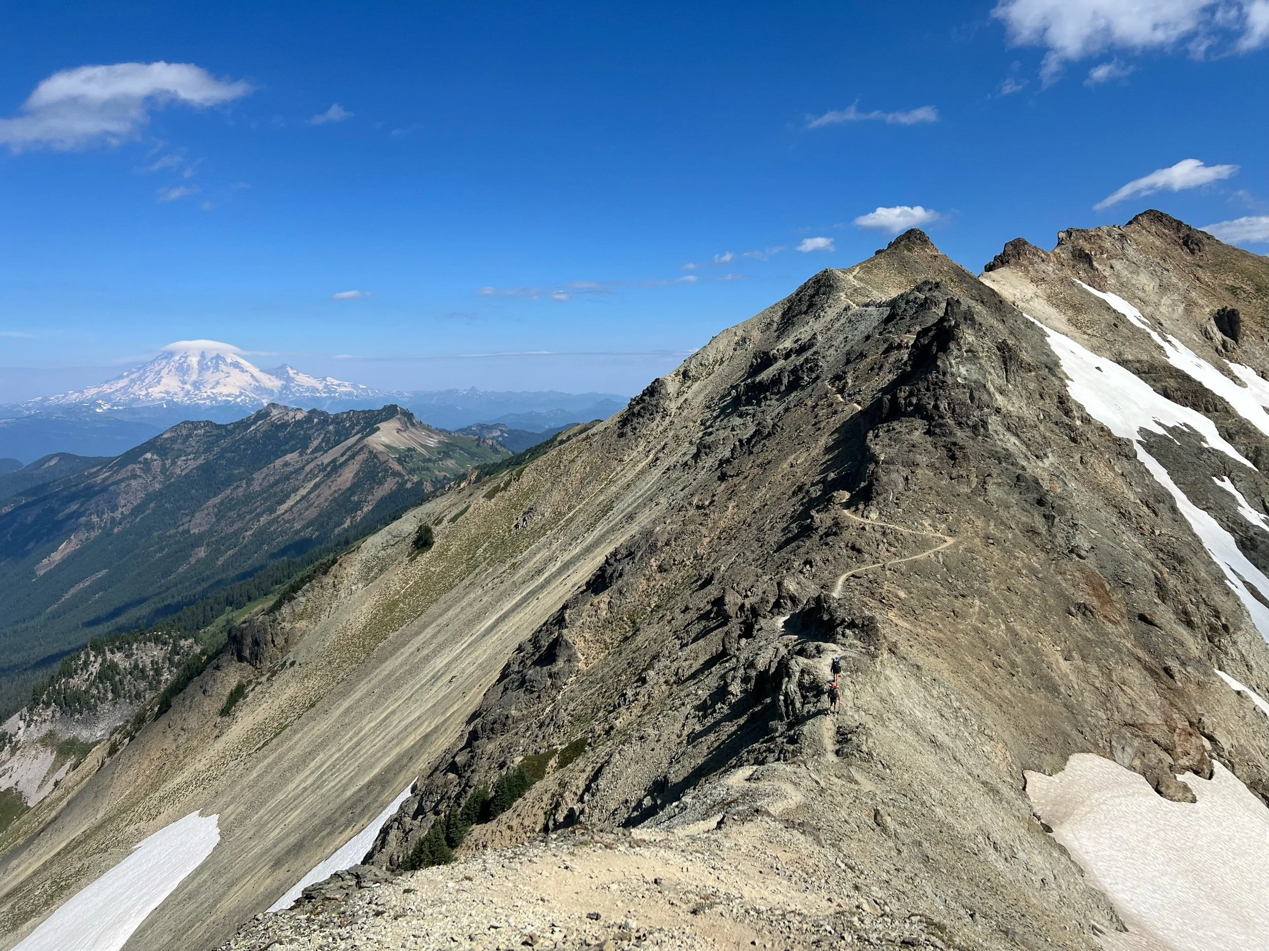
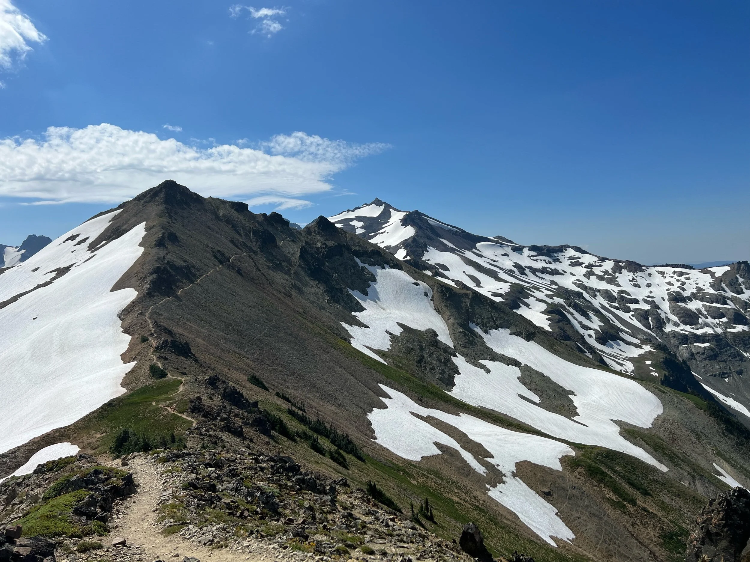
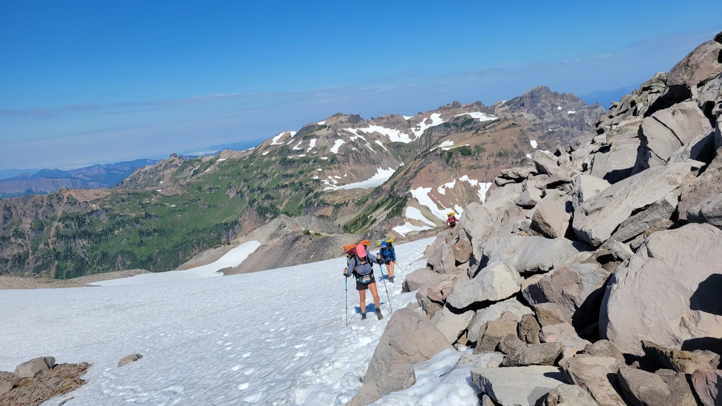
On August 12, we had the famous Knife’s Edge ahead of us, a section of trail that climbs to over 7,000 feet and traverses a long ridge line of volcanic remains. This day was epic. Once I got to the top of the climb, it felt as if I had reached a different planet or the moon, although again, the surface probably looked nothing like a different planet or the moon. As we reached the top, Mount Rainier was in full sight and other peaks, Mount Adams and Mount St. Helens were in the distance. The descent along the ridge took a long time, as the trail is lined in volcanic rock scree.
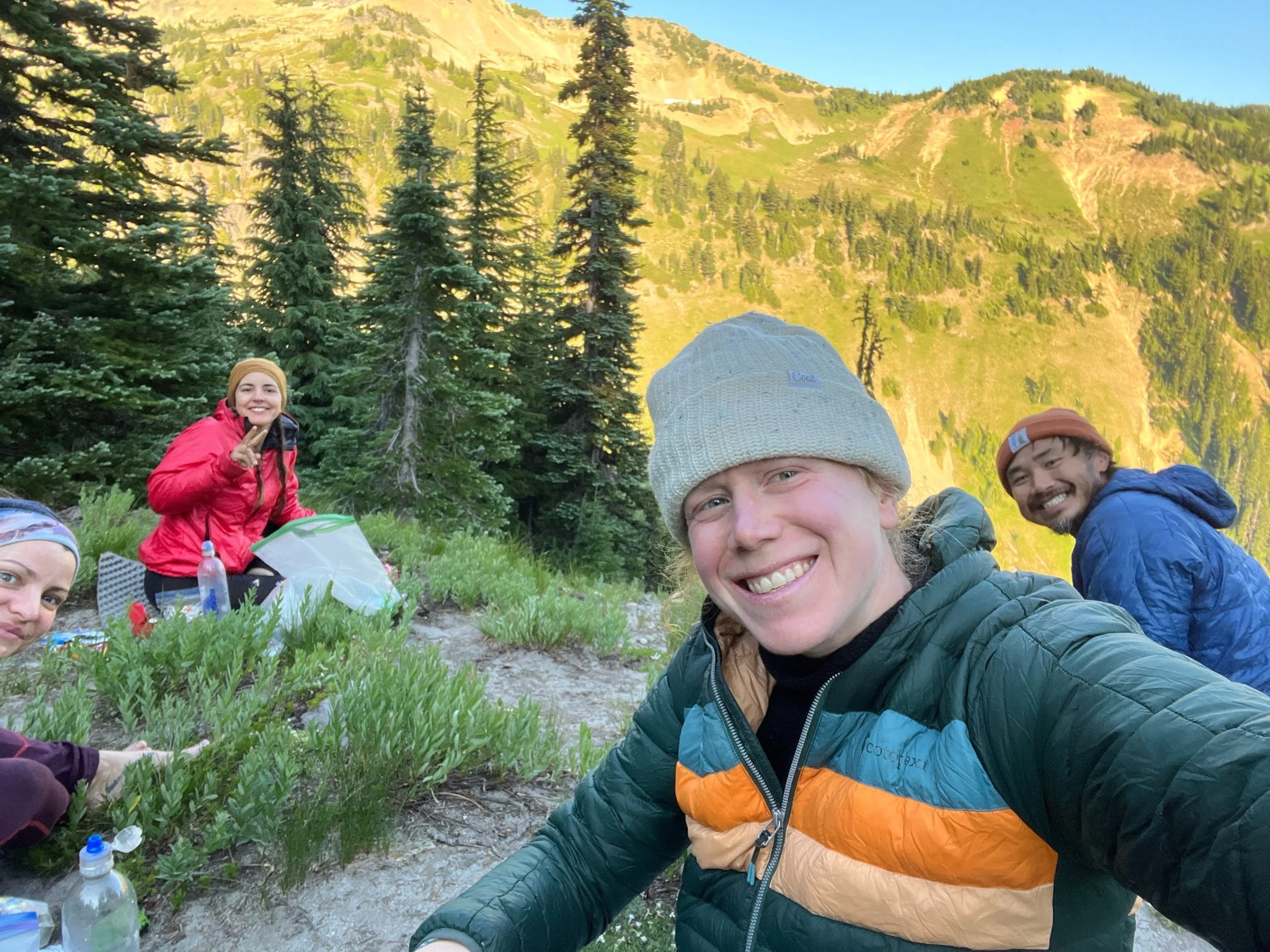
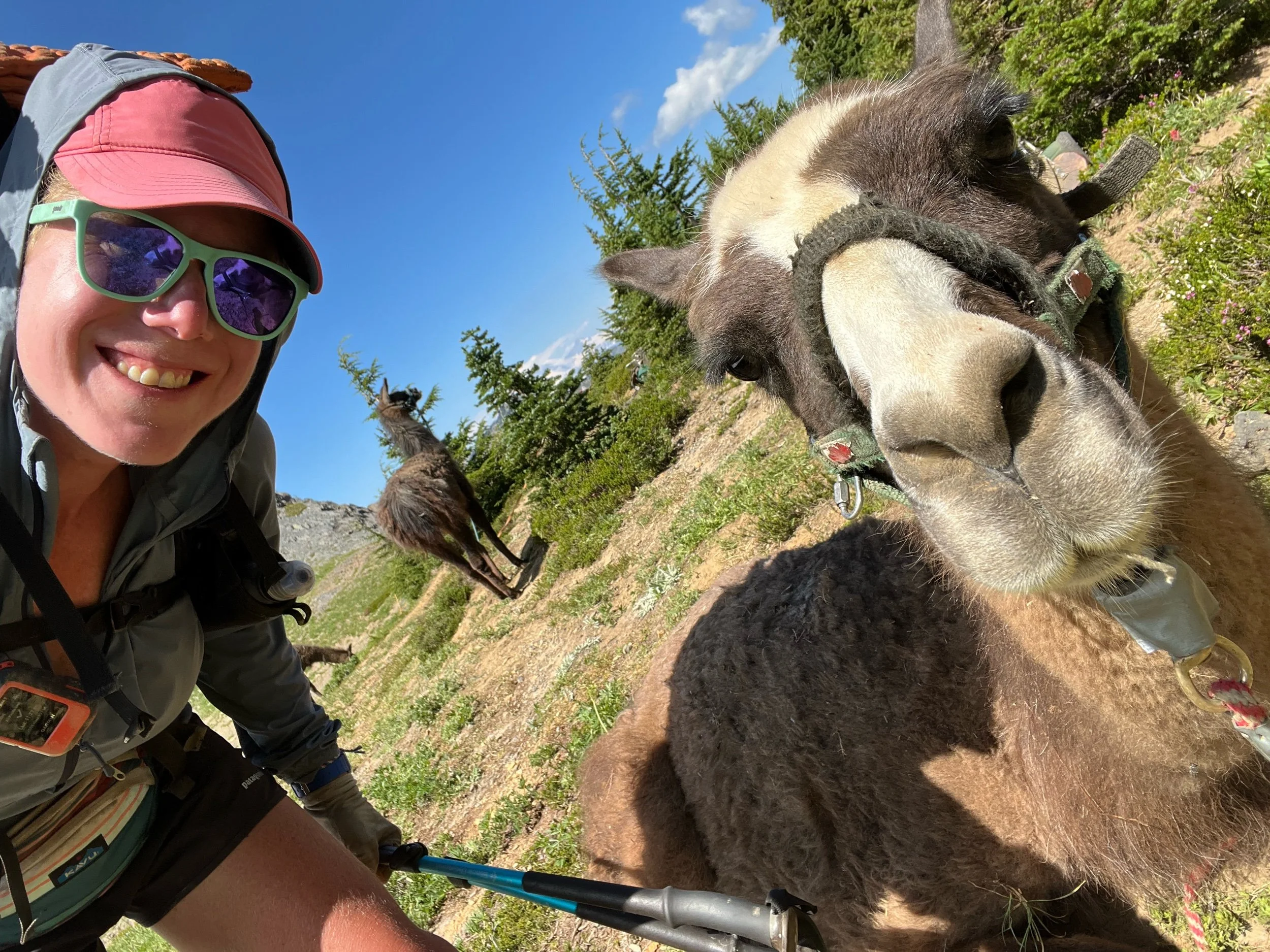
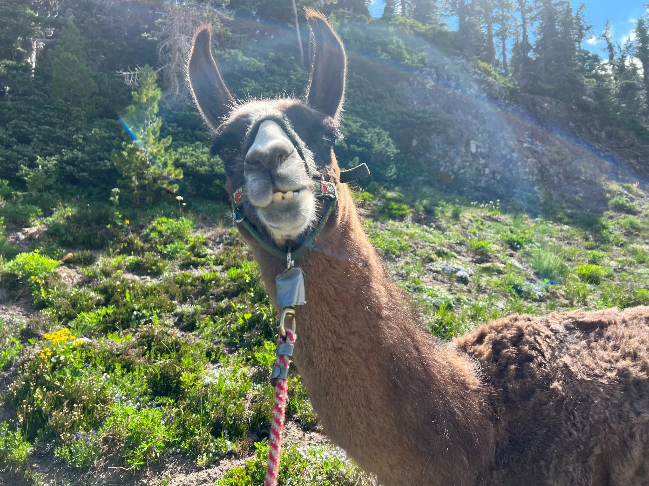
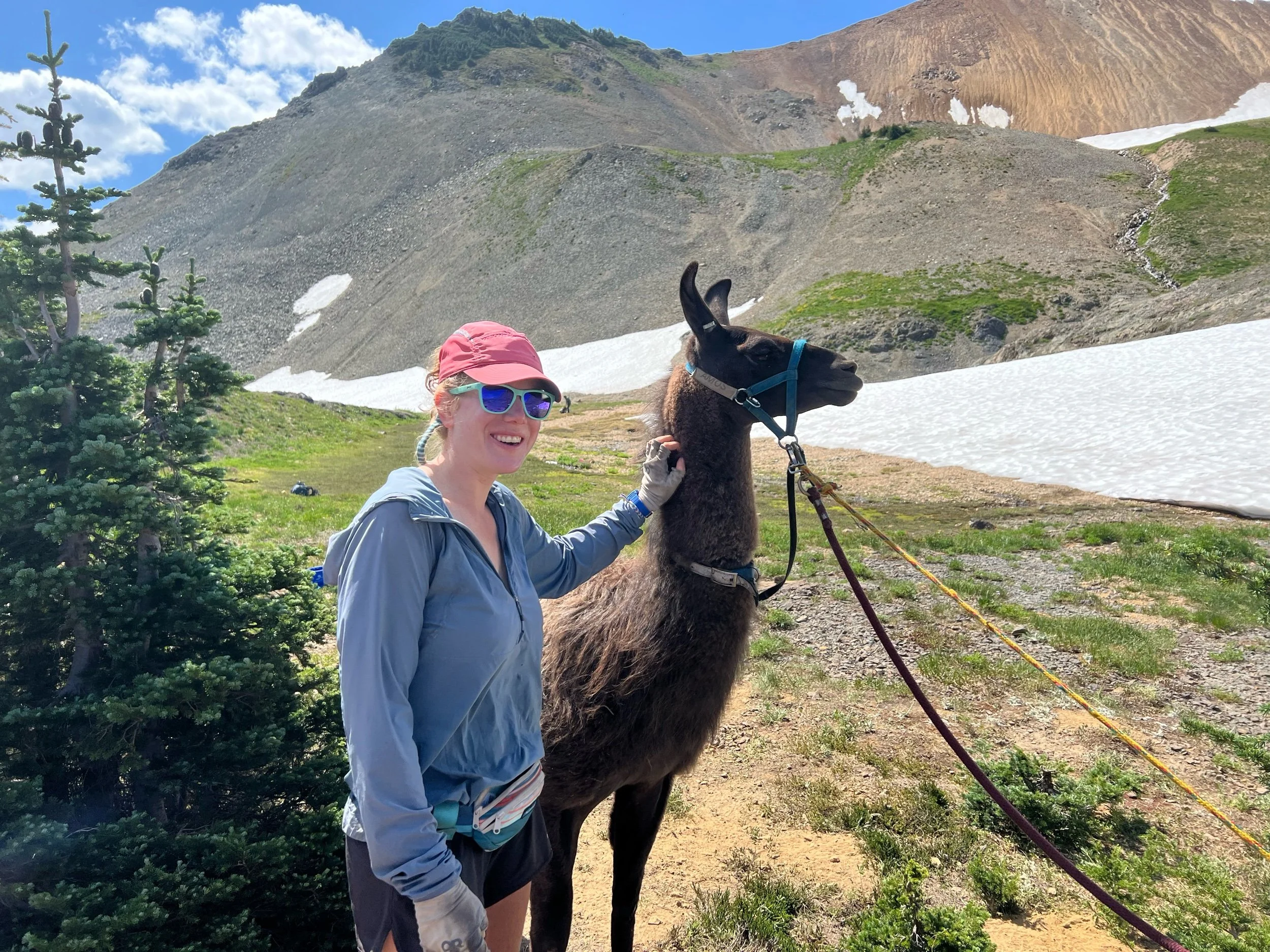
After descending Knife’s Edge, we spotted a pack of llamas. Naturally, we went over to investigate. They were with a group of hikers associated with an organization called Pass to Pass, an organization that leads people with Parkinson’s on trips through the Sierra and Cascade ranges, with llama support. Apparently, vigorous exercise has been shown to slow the progression of Parkinson’s. The llamas were eager to take photos with us, so we, of course, obliged.
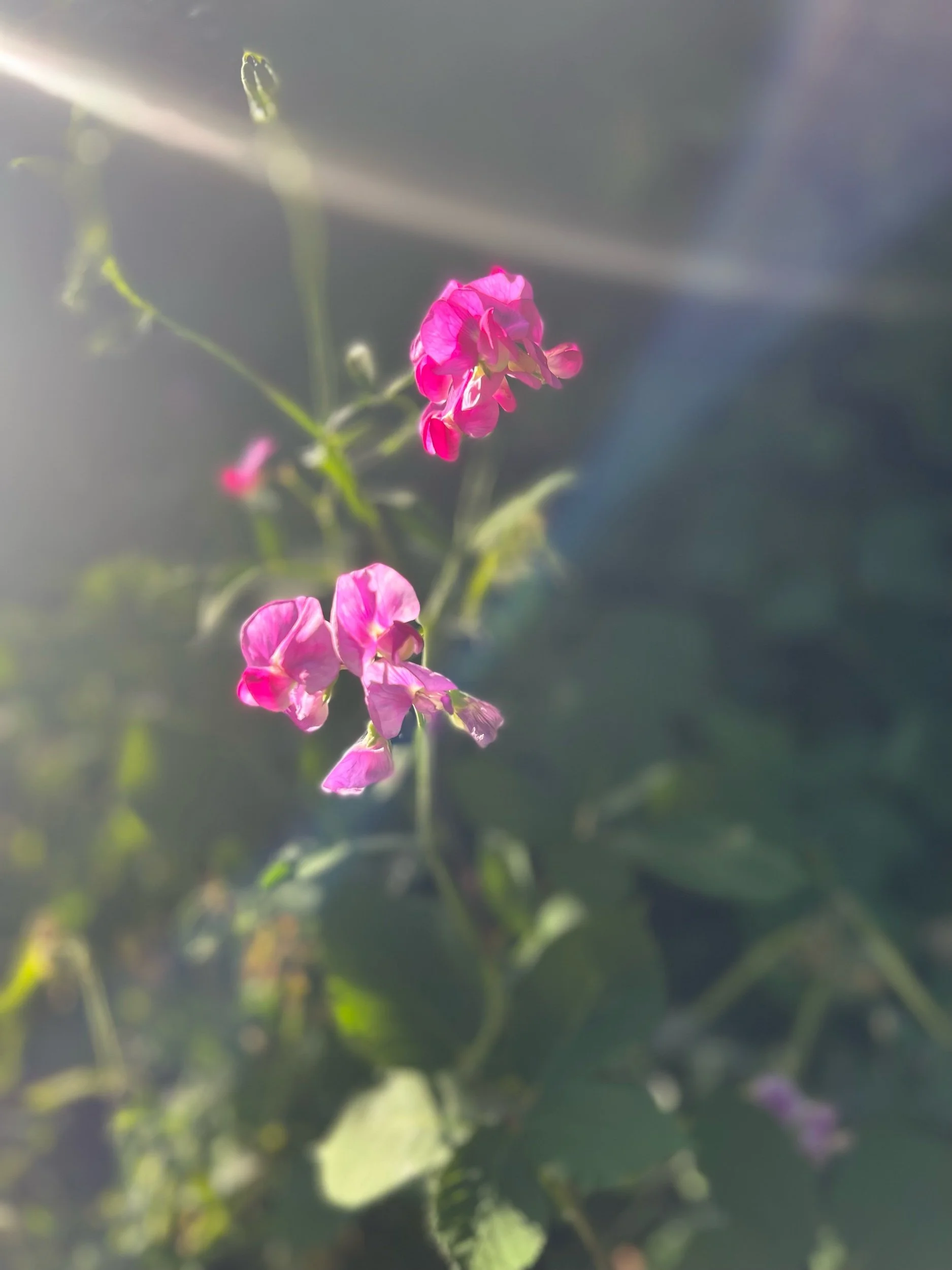
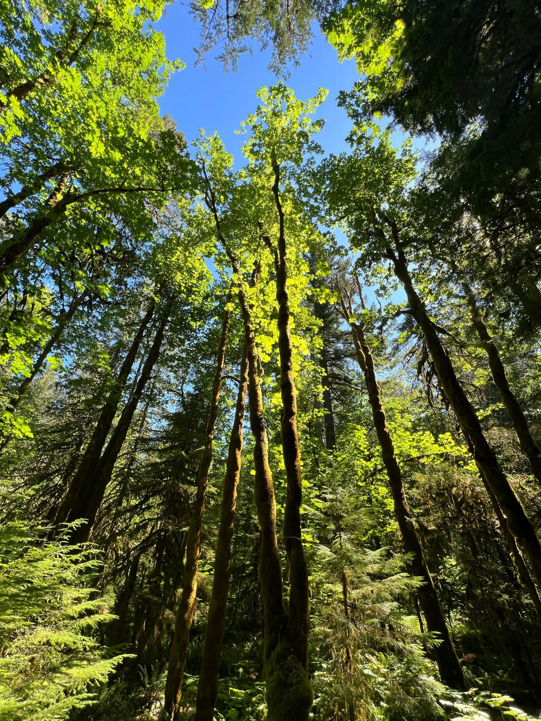
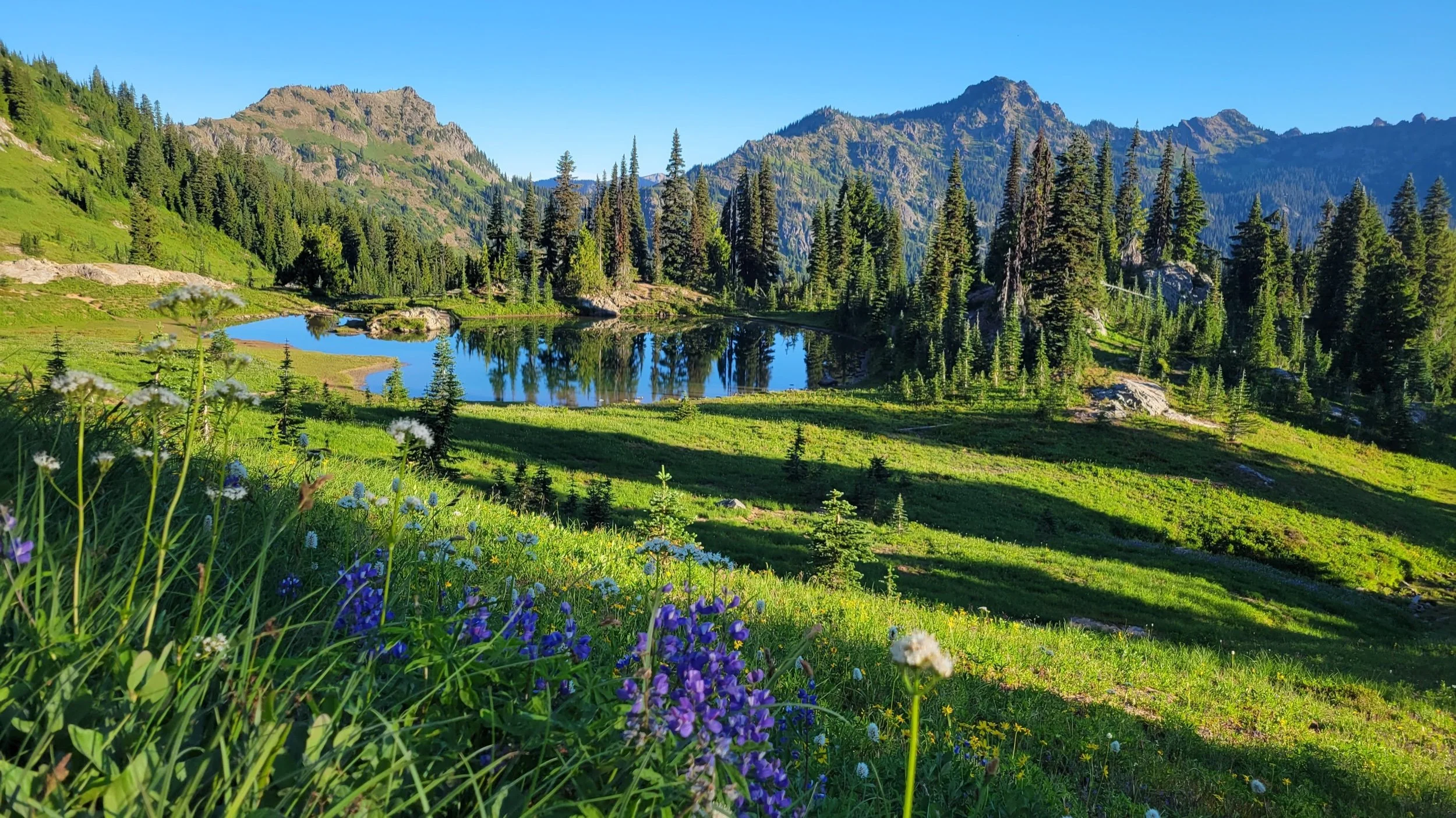
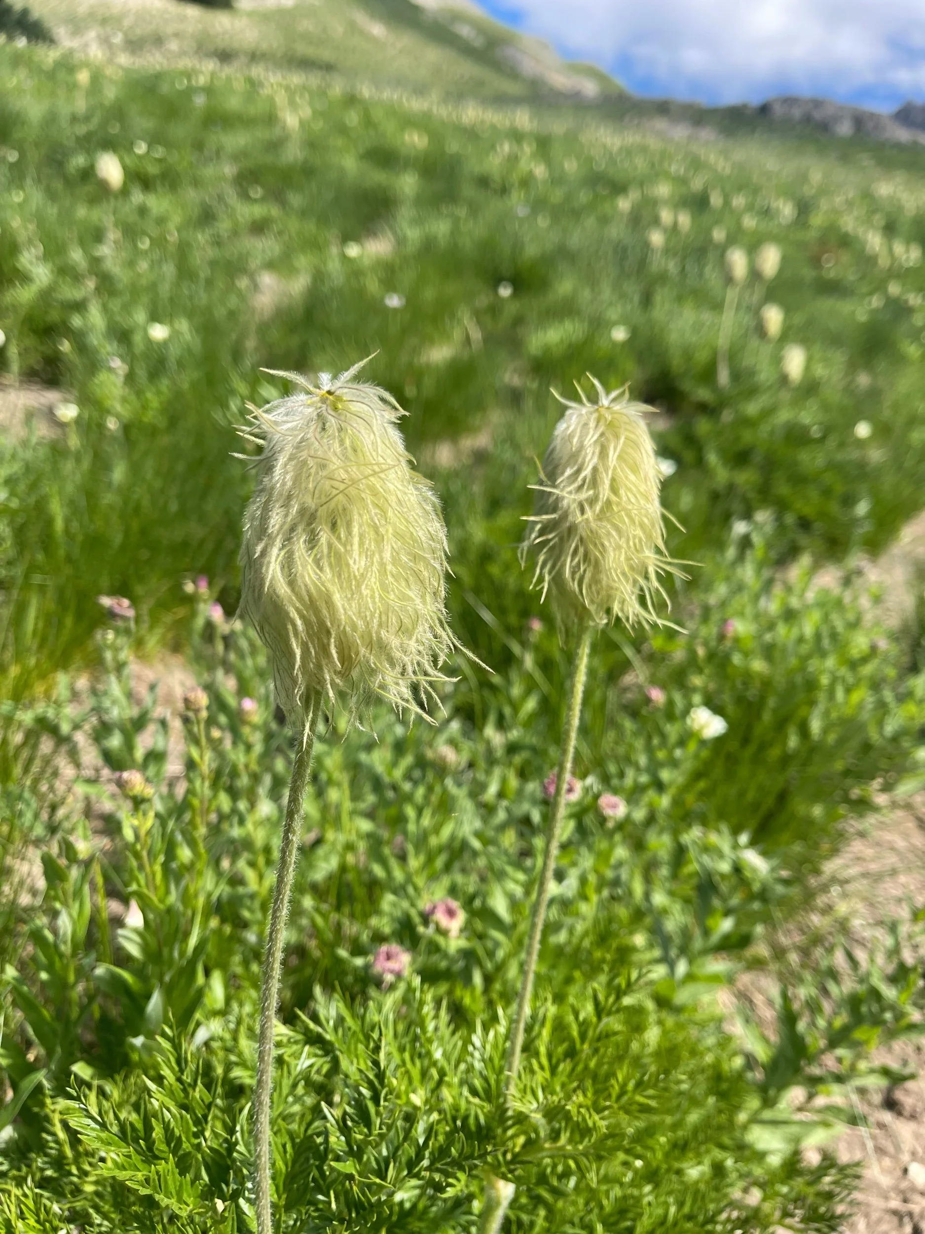
The rest of the day was filled with more climbing and more beautiful scenery. The usual. I’m also convinced Dr. Seuss got all his ideas for his book drawings in this section, as many of the trees in the forests were draped in moss and certain of the flowers looked like exact replicas from his books (or vice versa).
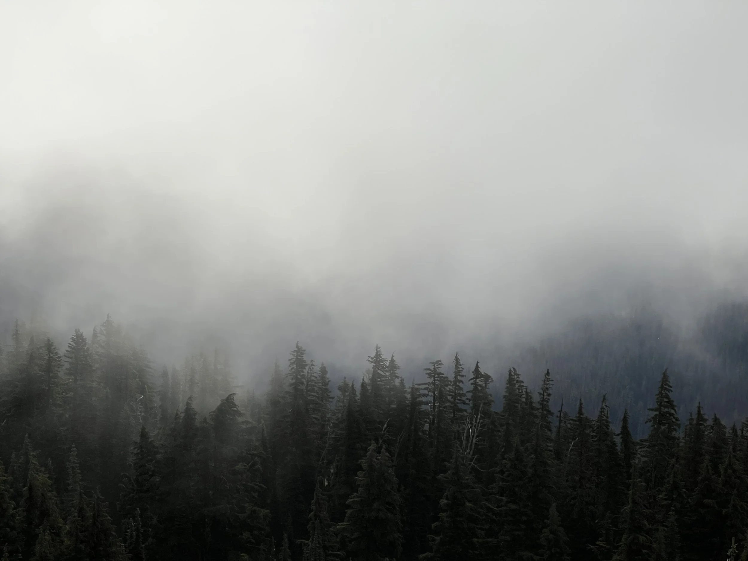
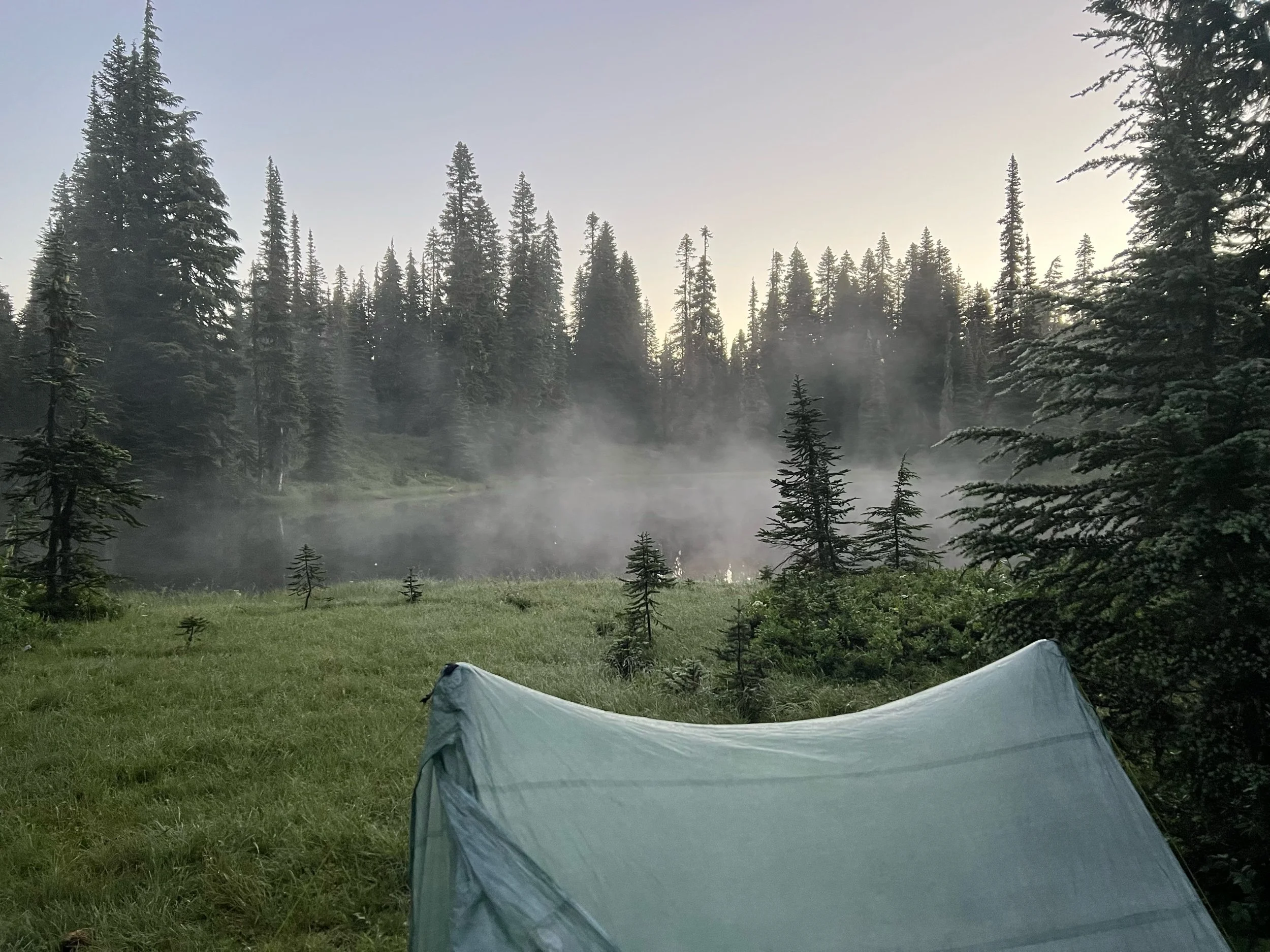
The next day, we woke up to a misty morning on our way to White Pass, a place that is a ski resort in the winter and a convenience store for hikers to hang in the summer. We got our resupply boxes, hung out in the parking lot while our electronics charged, and ate pizza and whatever else the store sold. Time flies in a convenience store parking lot. We headed out that afternoon, for the final leg of this section, from White Pass, to Snoqualmie Pass.
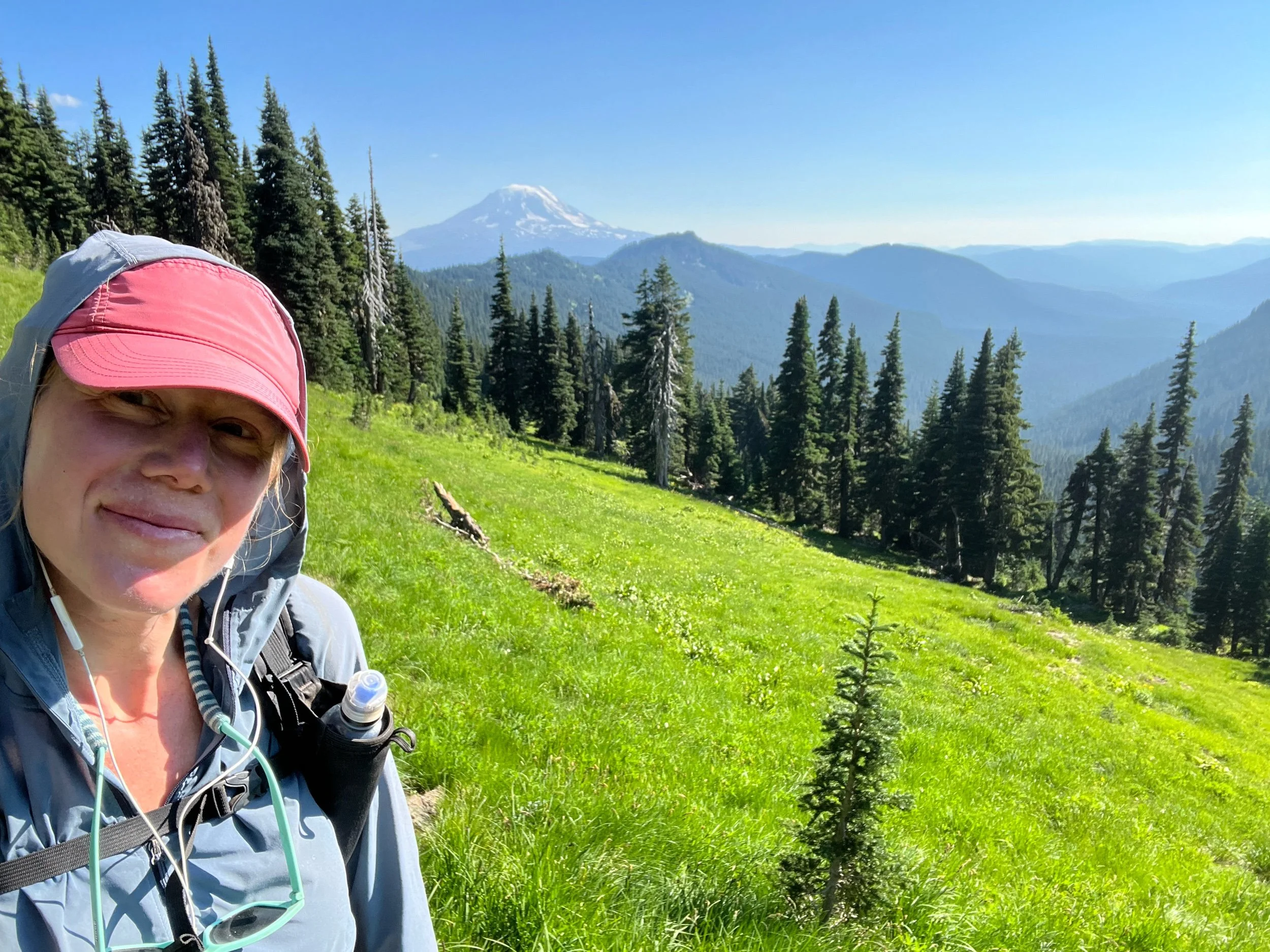
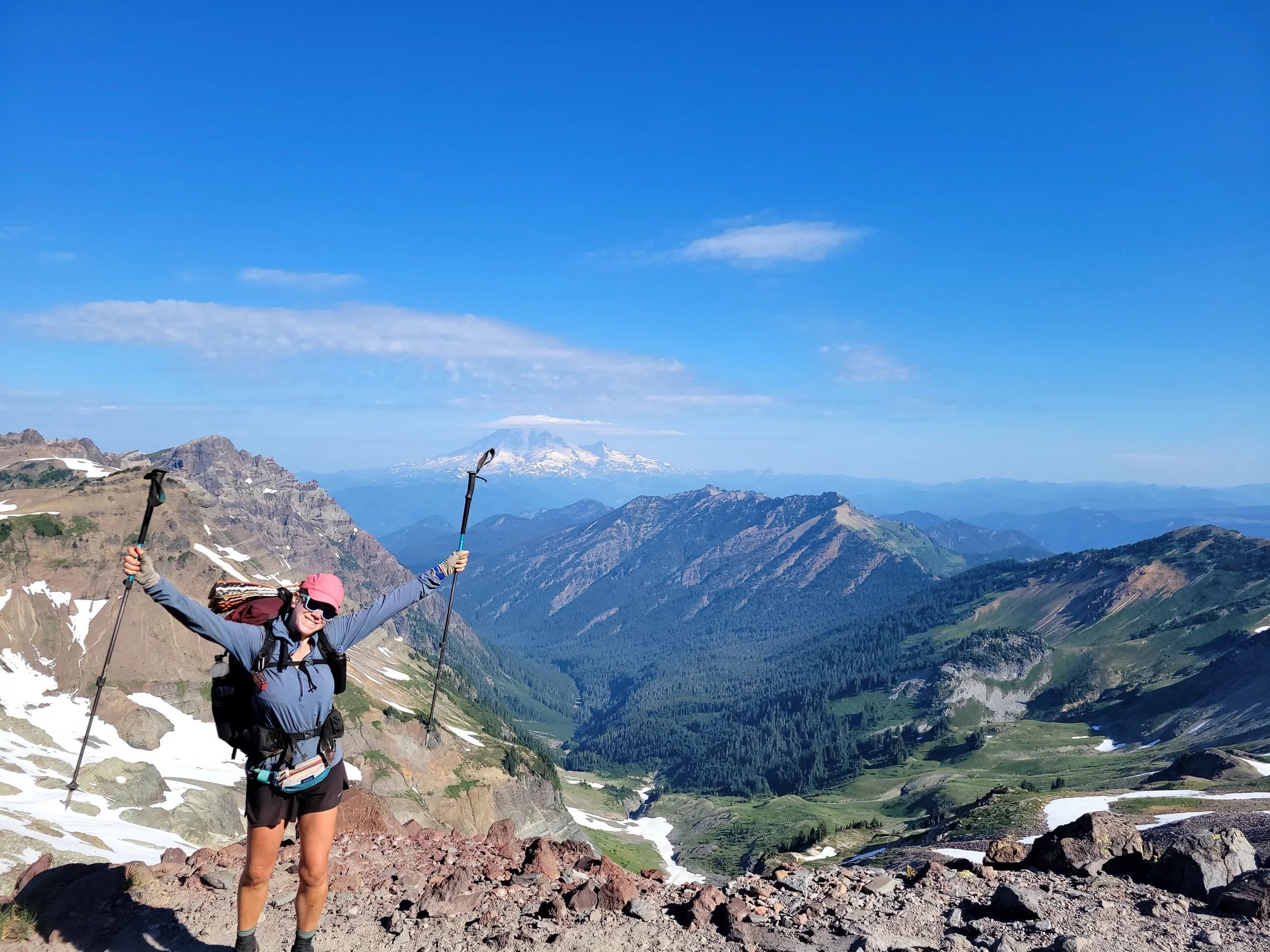
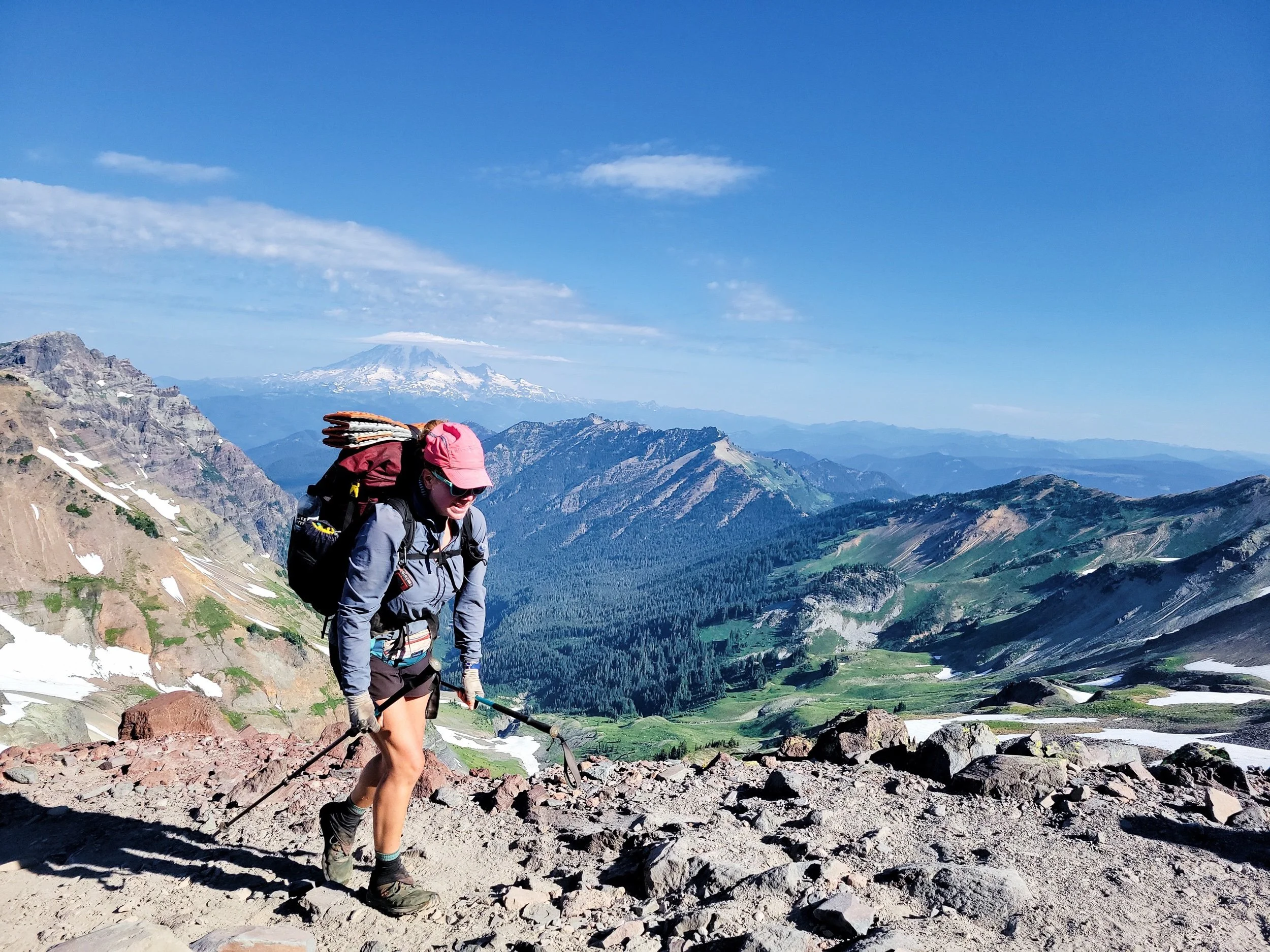
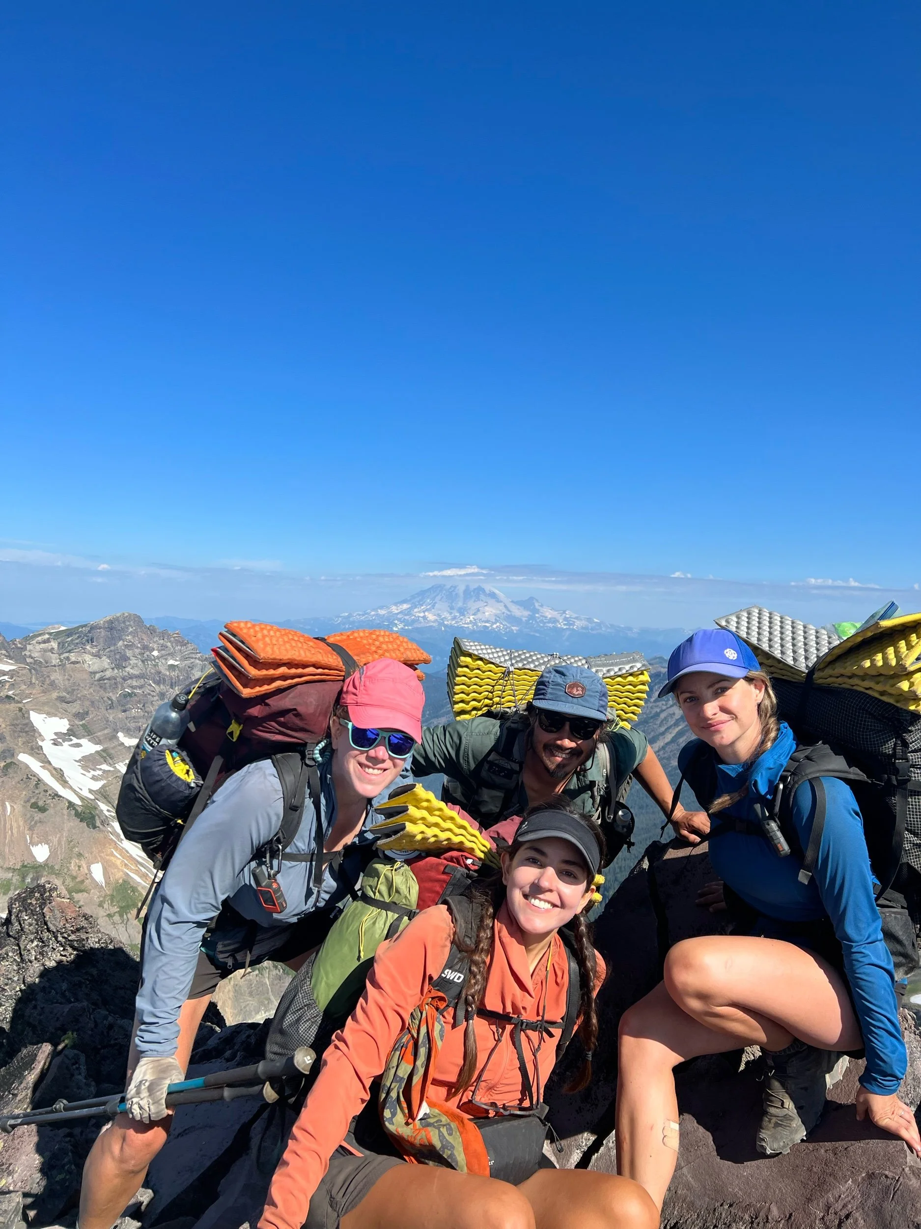
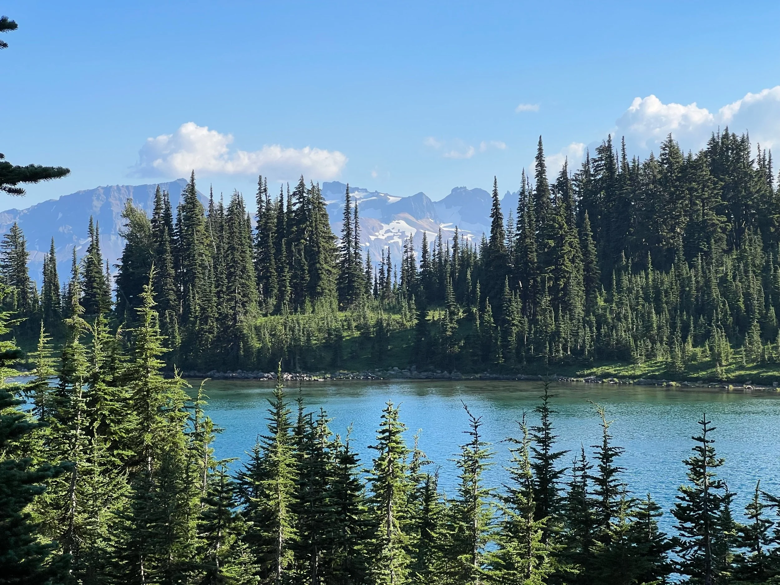
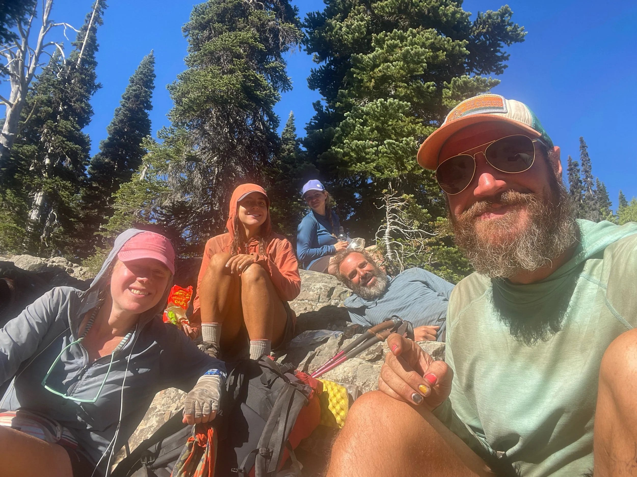
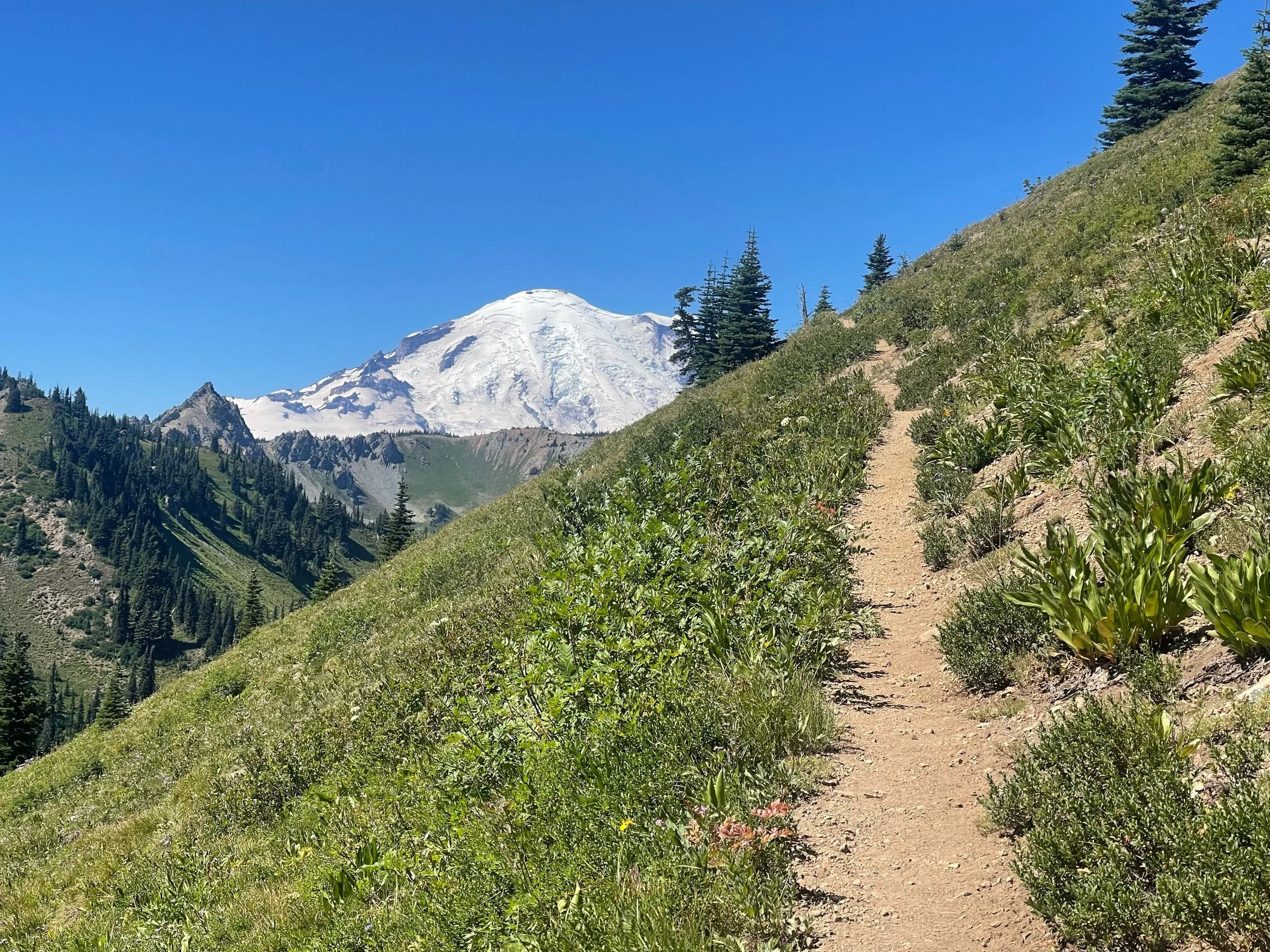
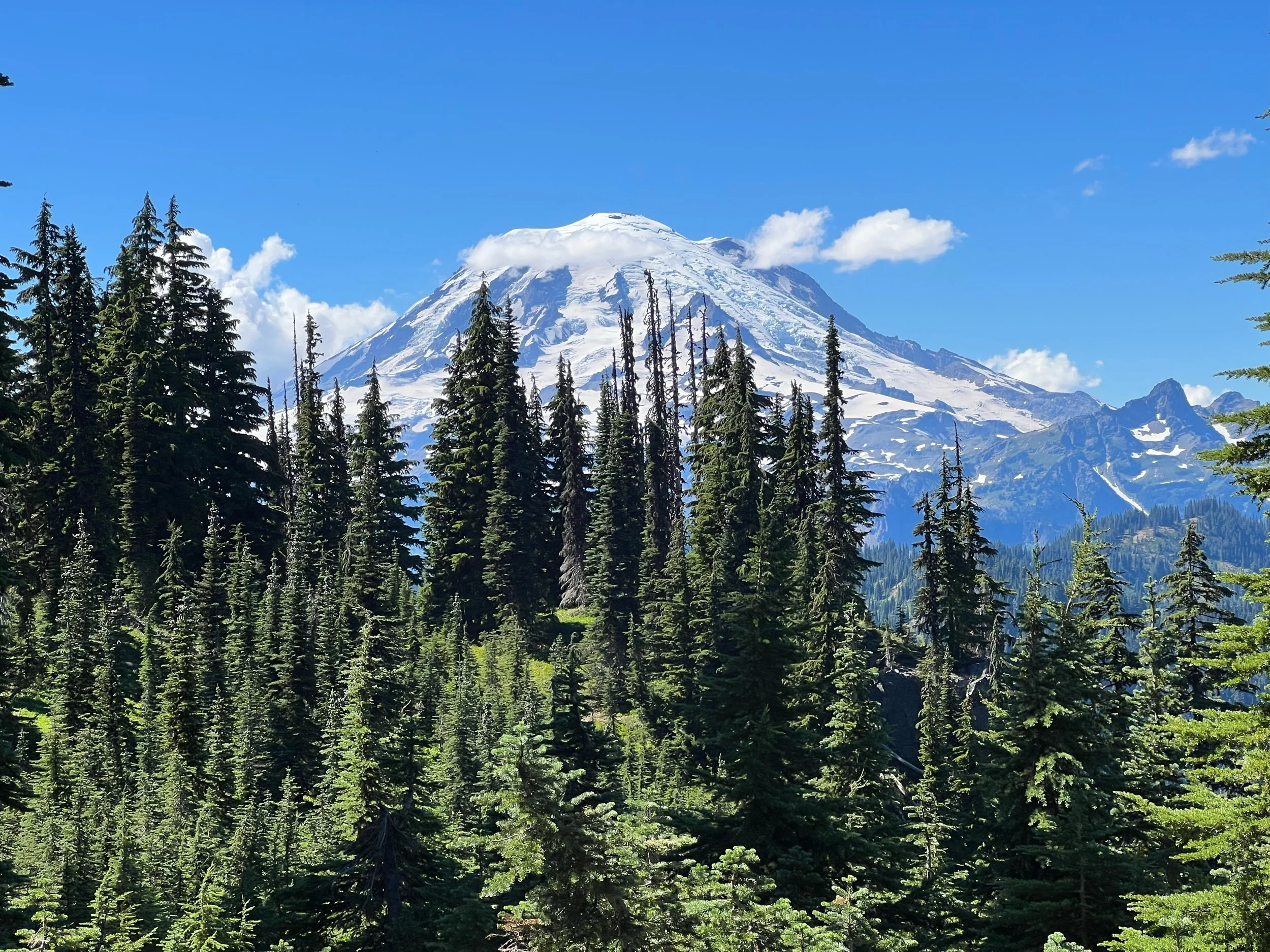
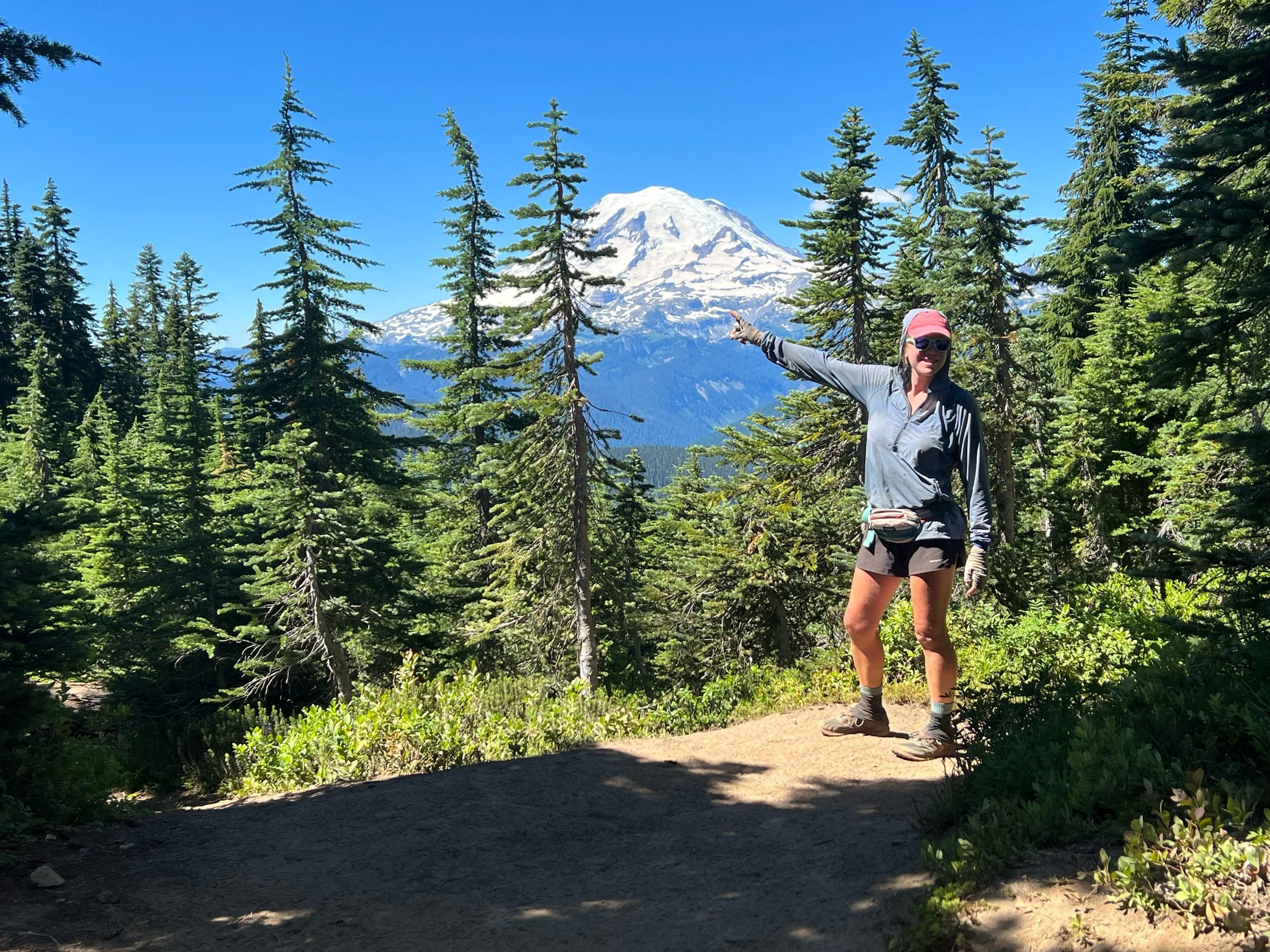
The next section, to Snoqualmie Pass, consisted mostly of Mount Rainier appearing around every corner, getting closer and closer into view. We walked through Mount Rainer National Park and took many a photo of us doing so. Just in case you aren’t sure, I’m pointing out Mount Rainier for you in a photo below. I also took my time in this section, as blueberries and huckleberries lined the trail, and it was extraordinarily difficult not to stop and eat them. I tried to leave a few for the bears.
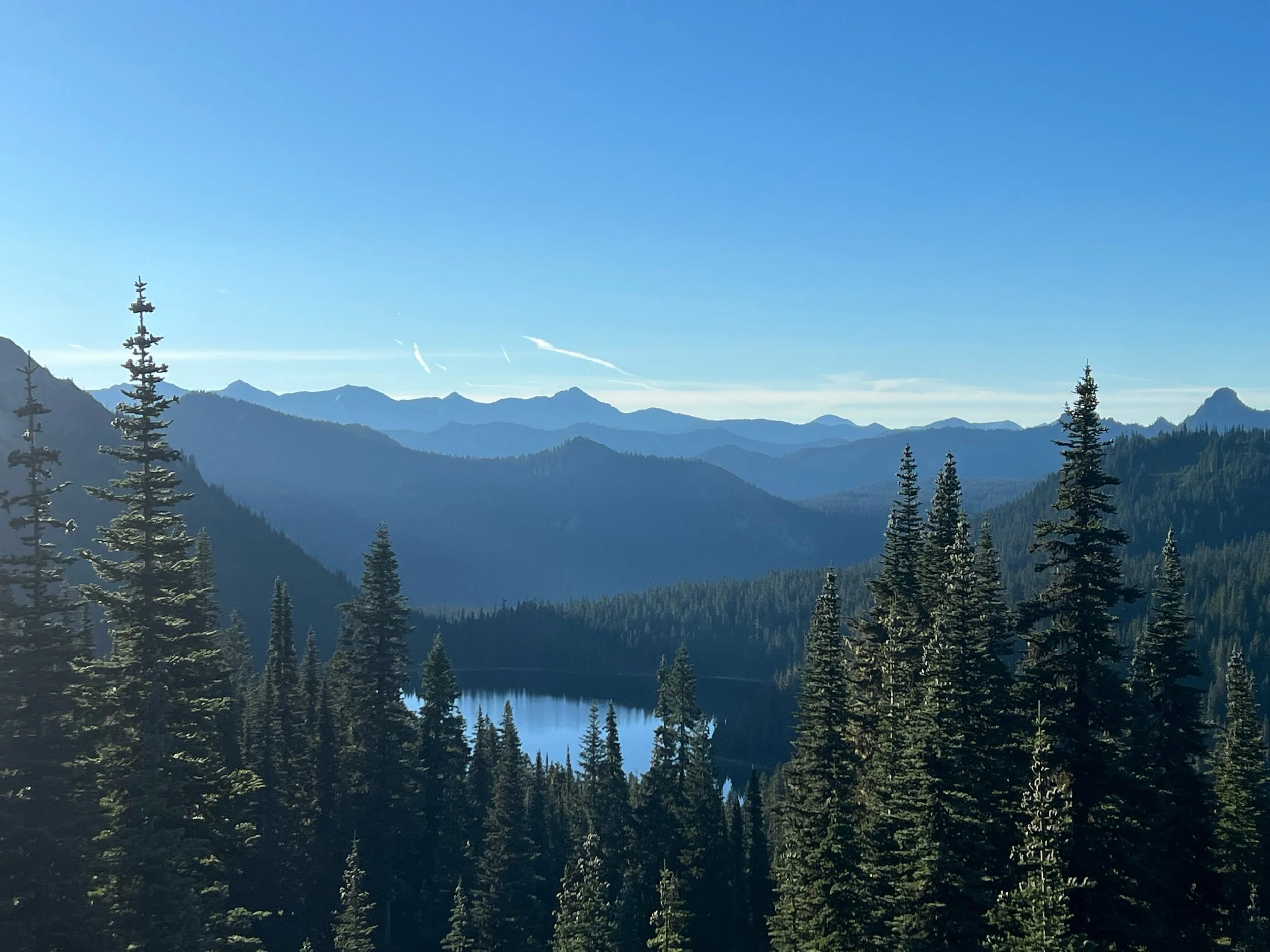
We were were quite lucky with the weather, so we had clear, unobstructed views. By the time we reached Snoqualmie (August 17), having not showered or laundered our clothes since Trout Lake August 9), we were, to put it mildly, disgusting. It’s much more humid in Washington than in California, so the sweat never quite dries from your clothes. The dirt accumulates just the same. The lobby of the Summit Inn, mostly filled with hikers, smelled worse than a locker room right after a football game.
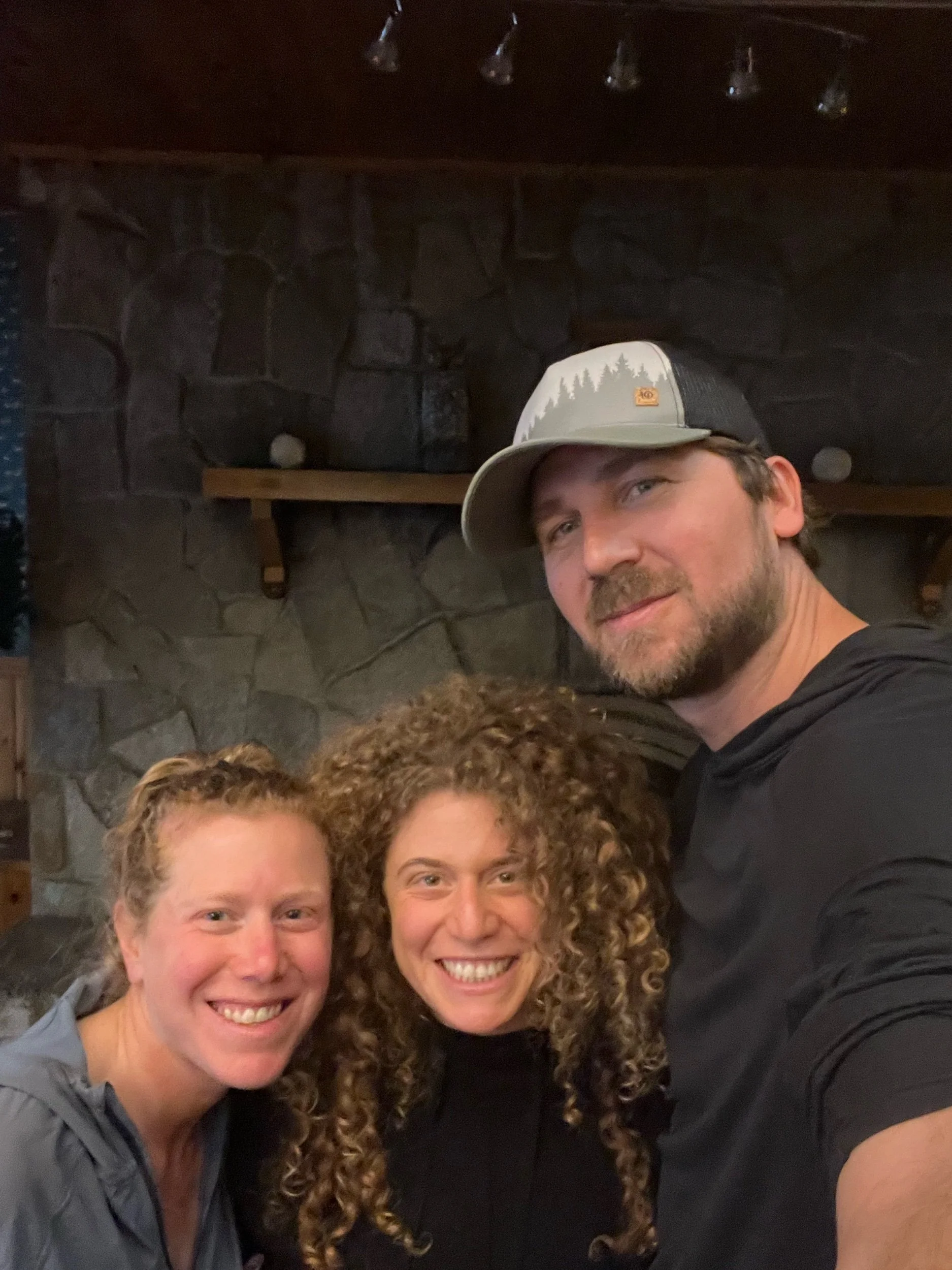
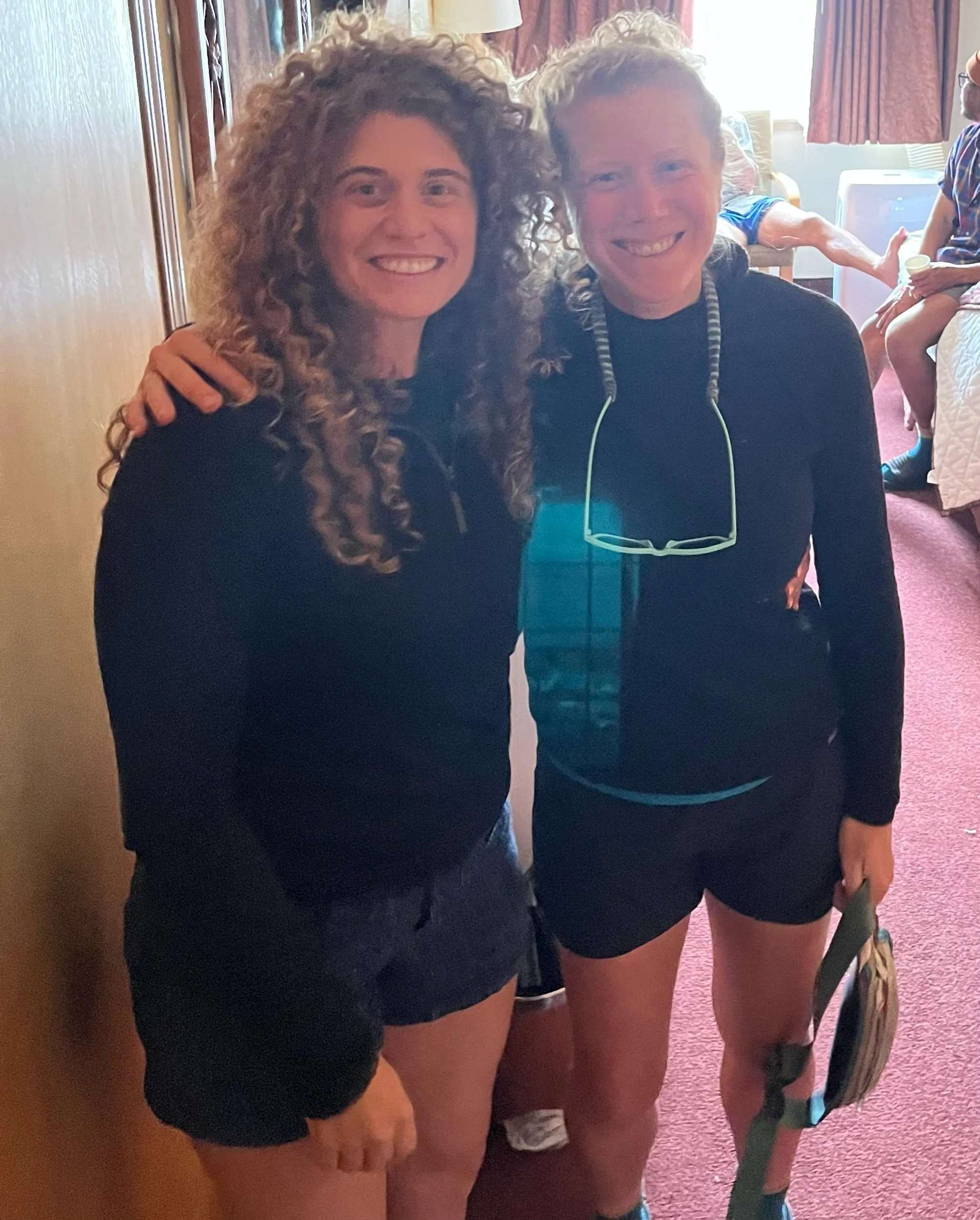
We reached Snoqualmie Pass on August 17. I was excited for a shower and laundry, but my excitement mostly stemmed from the fact that my sister, Casey and her boyfriend, Landon, were meeting me there on August 18. It was a long trip for a short visit, but it felt so special to have her here. I was supposed to be in Bend now and seeing my parents, but seeing Casey lifted my spirits. Sometimes seeing family makes you realize how much you miss them.
I’m off today to tackle the second half of Washington. We hope to finish around Labor Day weekend, and then tackle Oregon and finish at Timberline Lodge (I even booked a flight from Seattle, to Medford!). While I don’t think hiking from Mount Shasta, to Ashland will be possible, we are hopeful we can hike nearly all of Oregon. It’s a bit out of order, but these were the cards that were dealt. I’m excited to see what they have in store.

