Fires, Fires, Everywhere
I’m currently writing from Etna, CA. Yes, I’m back in California. More on that later. Since my last post, it’s been an utterly exhausting couple of weeks, but I did a thing: I finished a state! Washington! And just in the nick of time. They closed the final miles of the PCT due to wildfires the day after I reached the Northern Terminus and the Canadian border. My memory of the second half of Washington is hazy, due to mental and physical fatigue, but also due to the literal haze of smoke that filled the air as we got closer to the border. I’ll try to recount the highlights and lowlights, but hopefully with sensitivity to the many who just missed reaching the border, having been turned away by US Forest Service personnel on account of the growing fires surrounding the trail’s end.
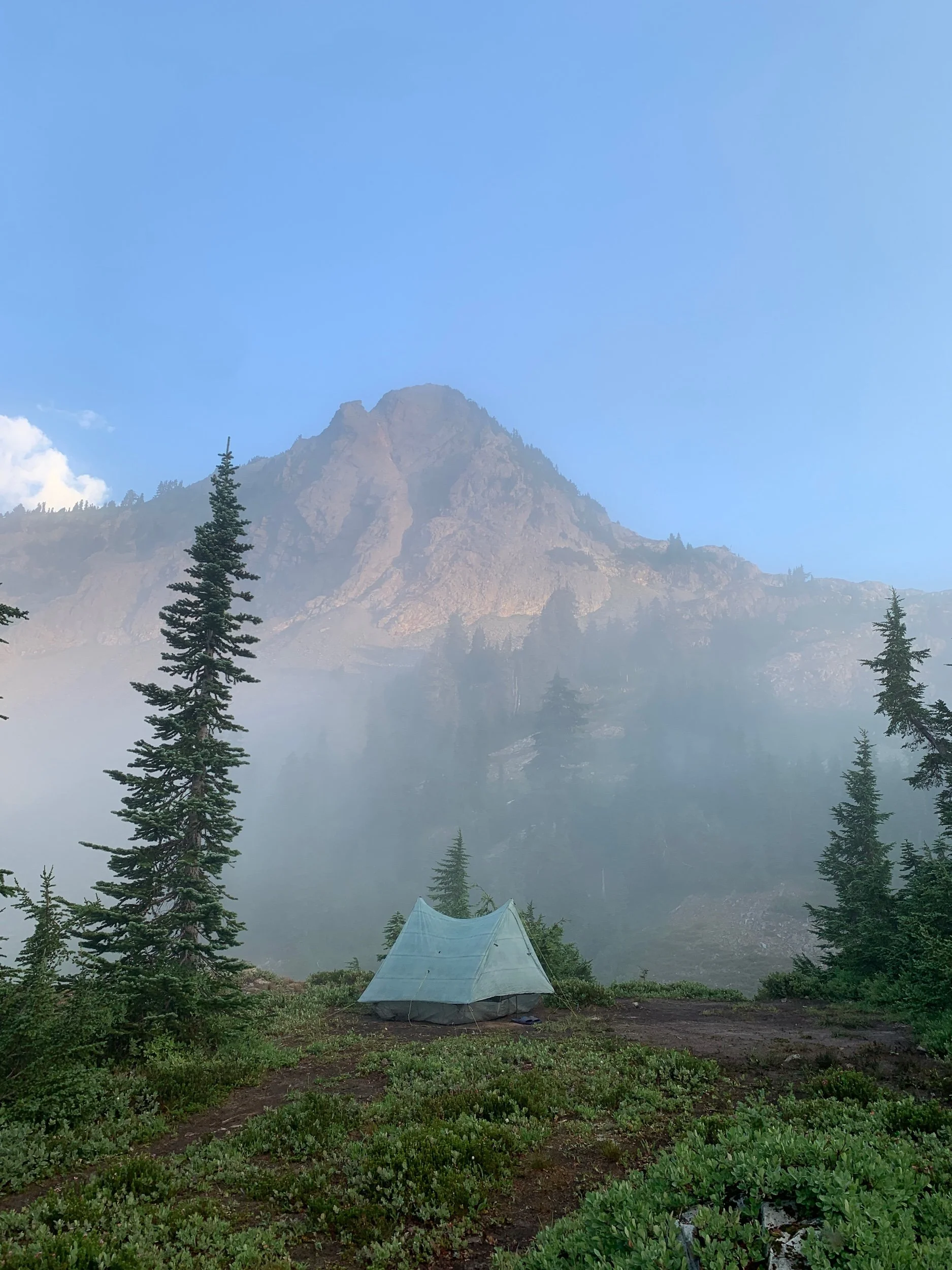
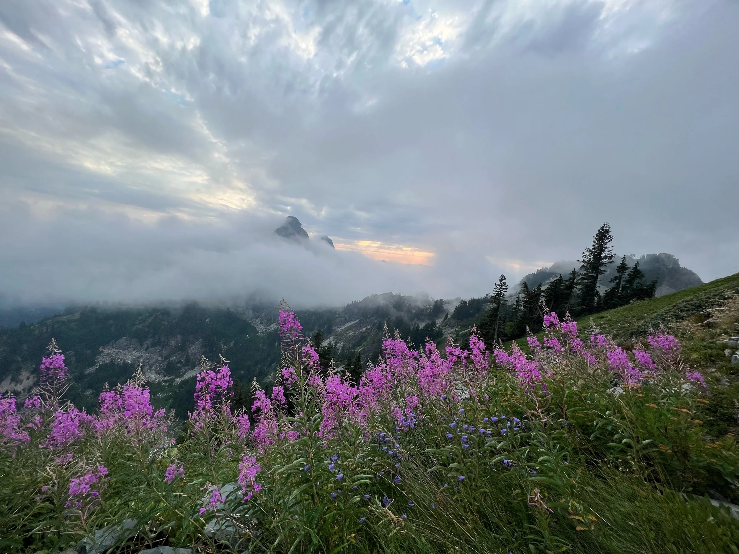
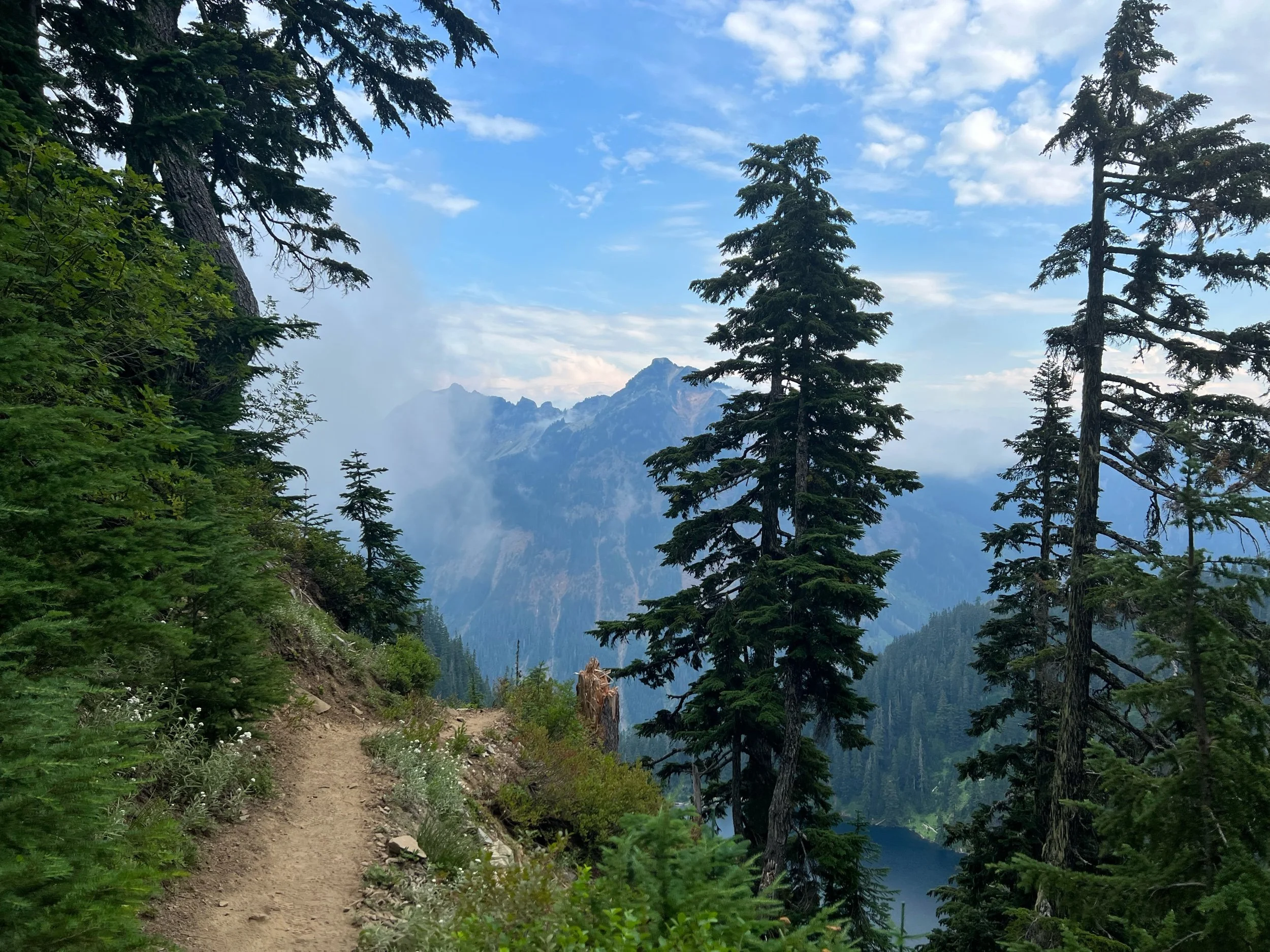
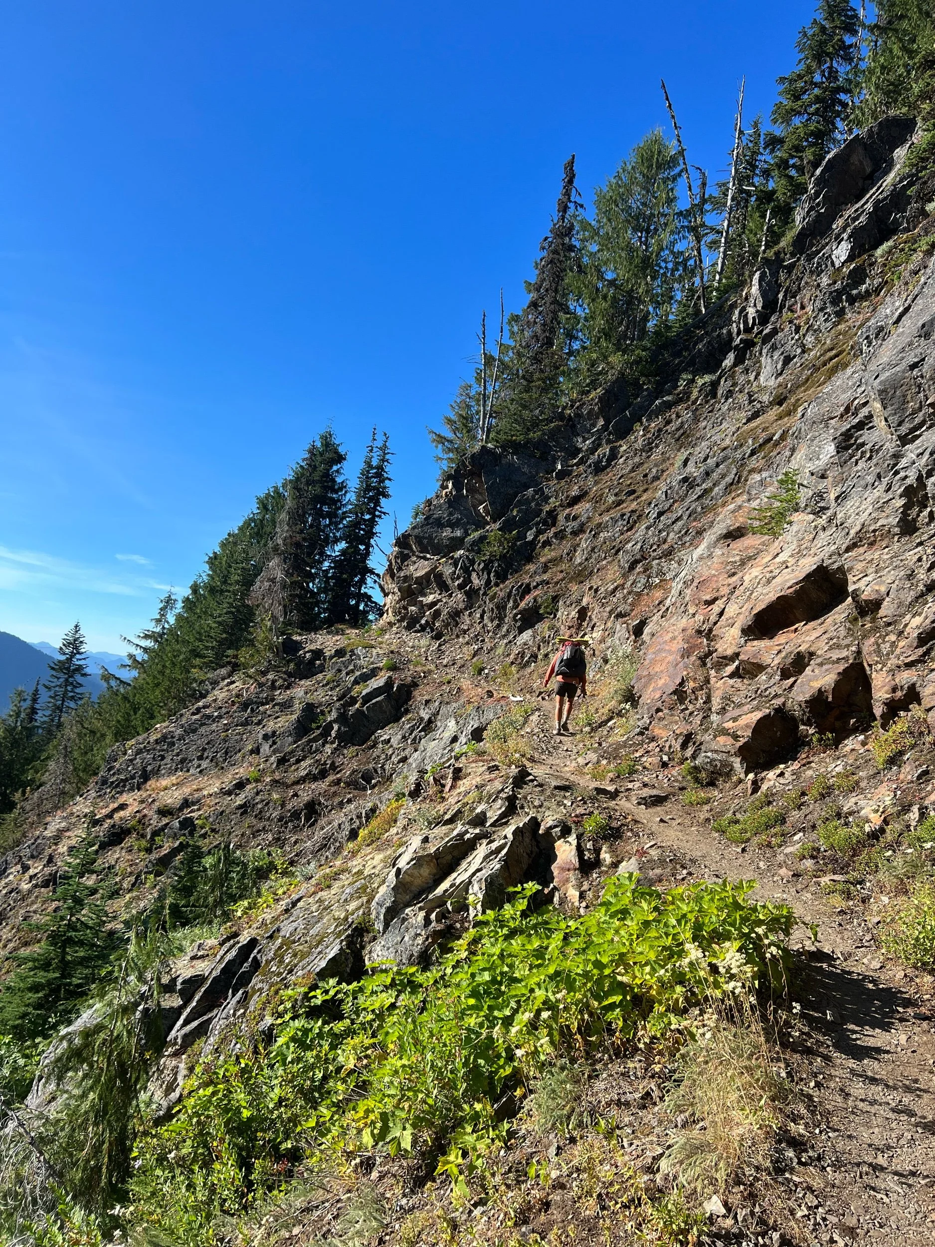
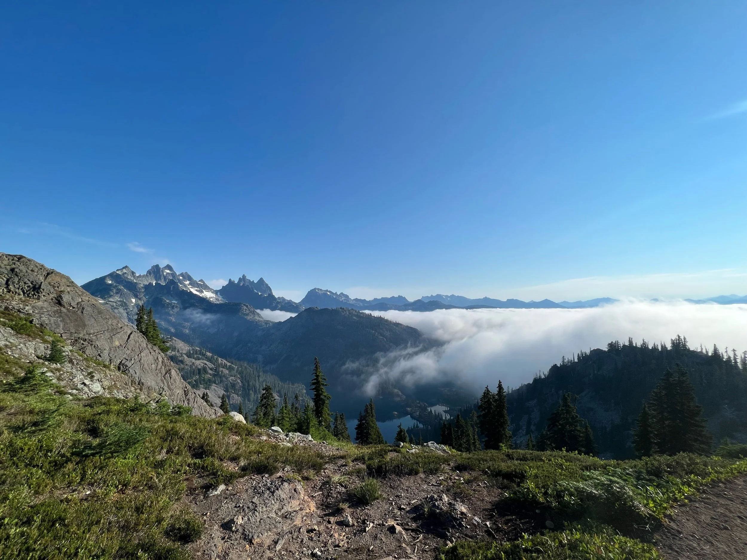
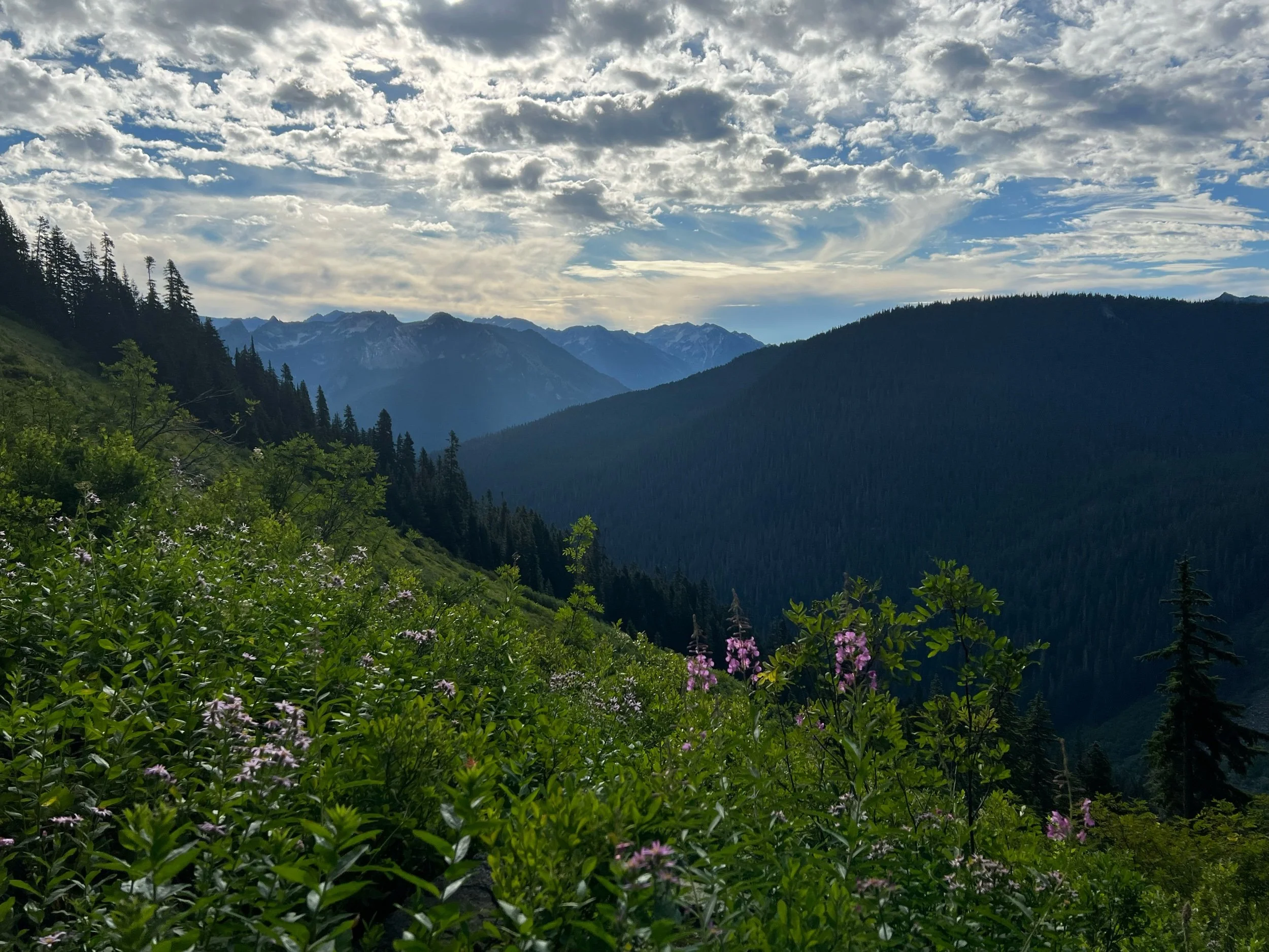
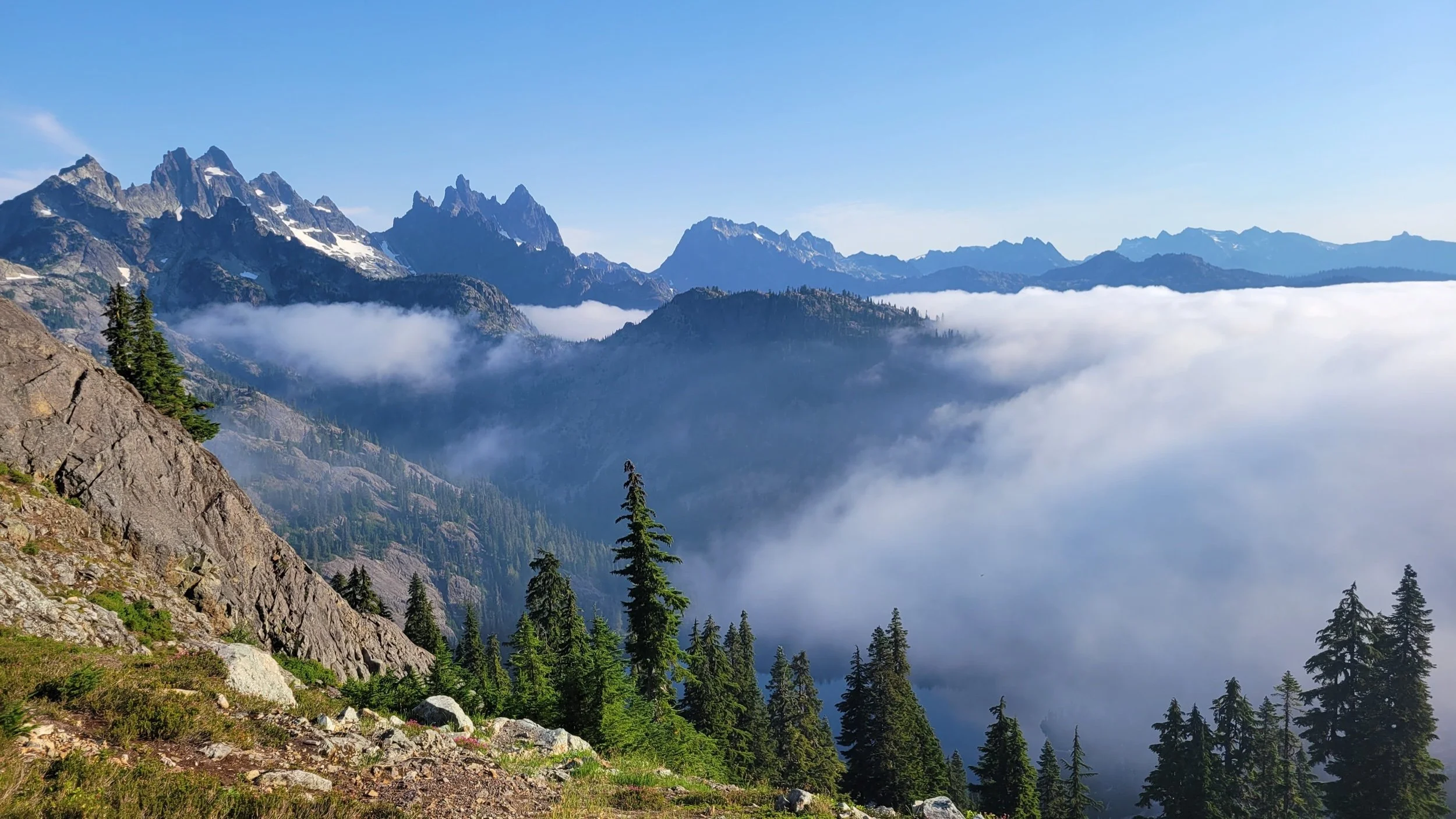
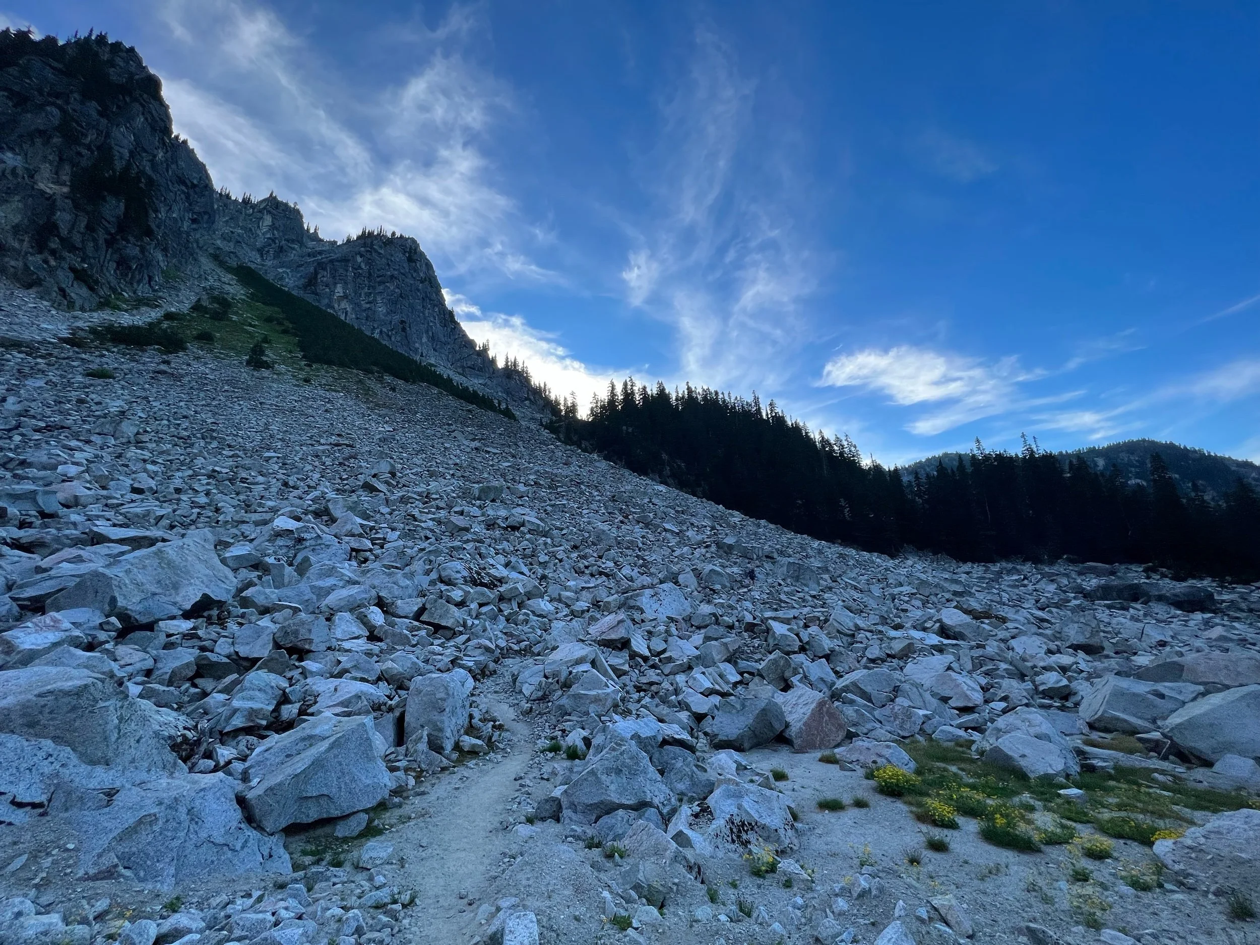
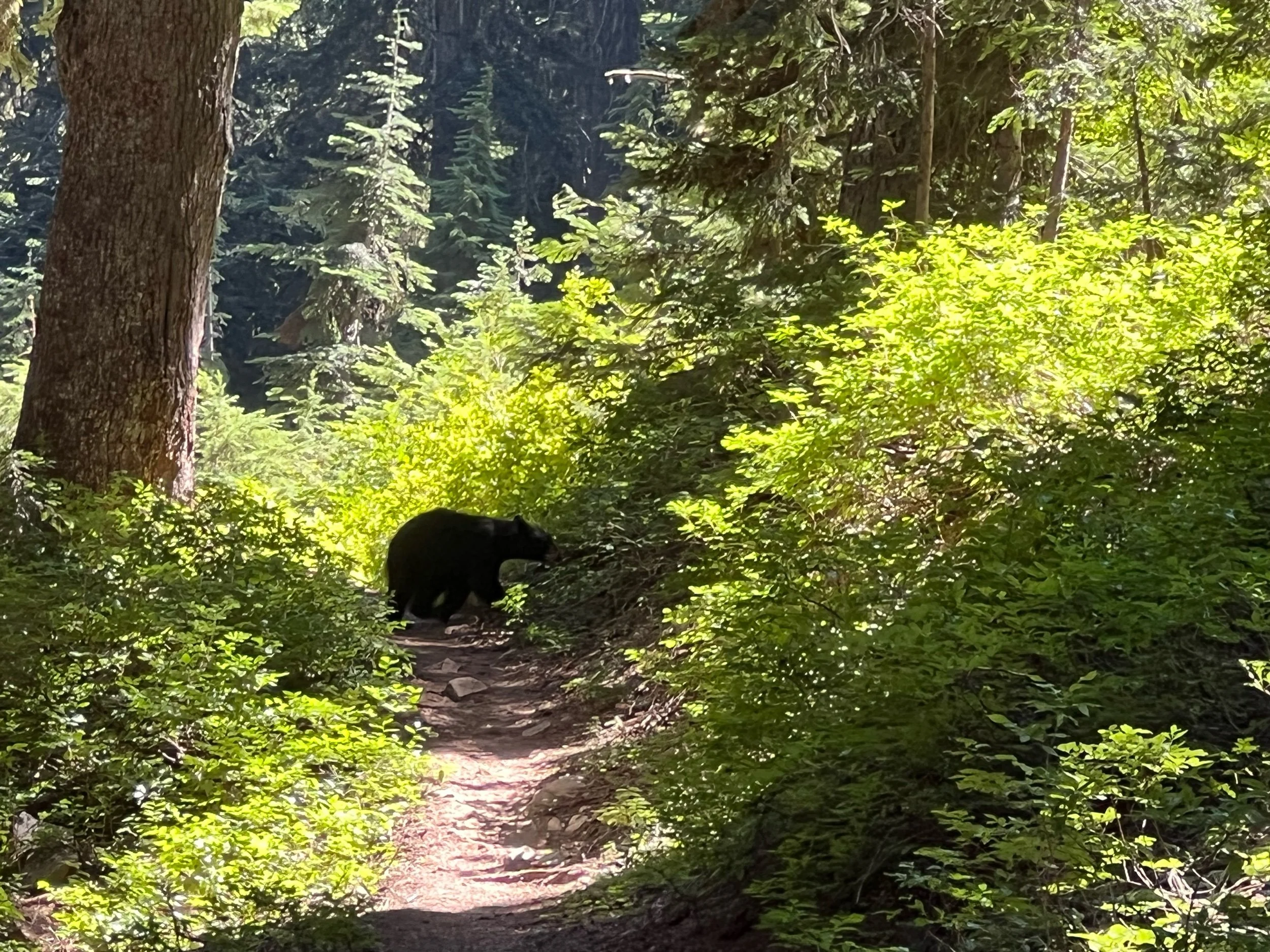
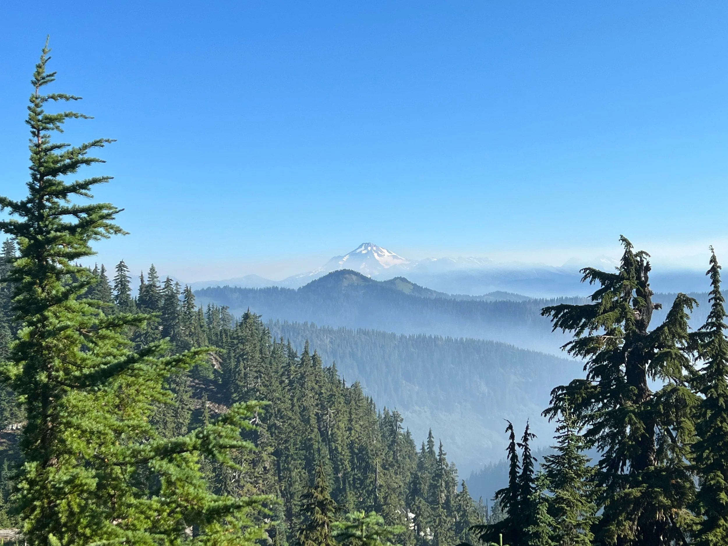
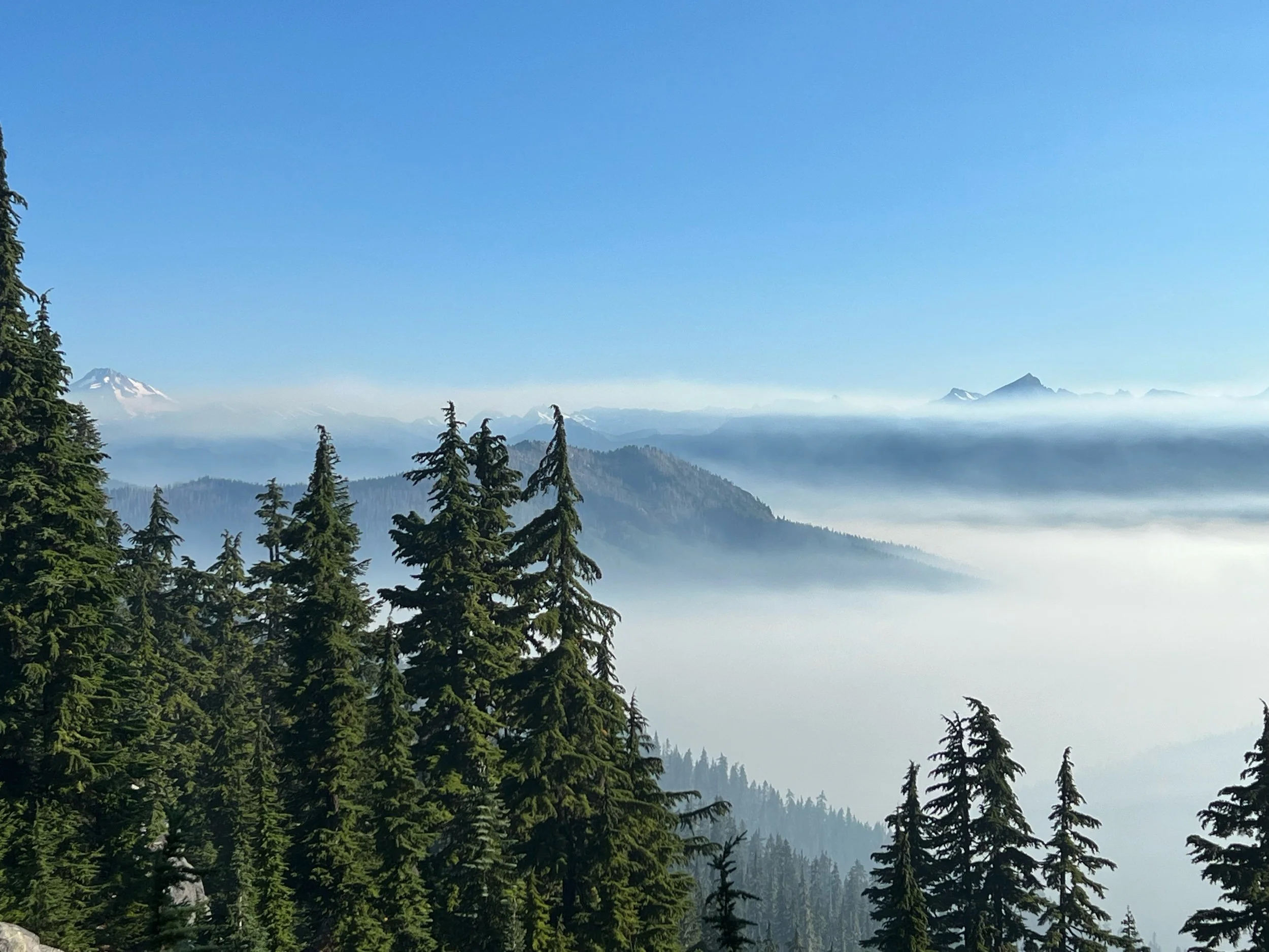
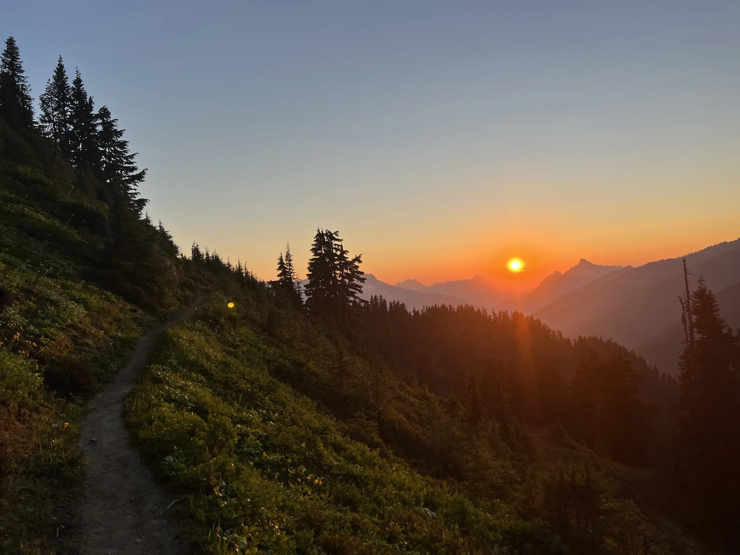
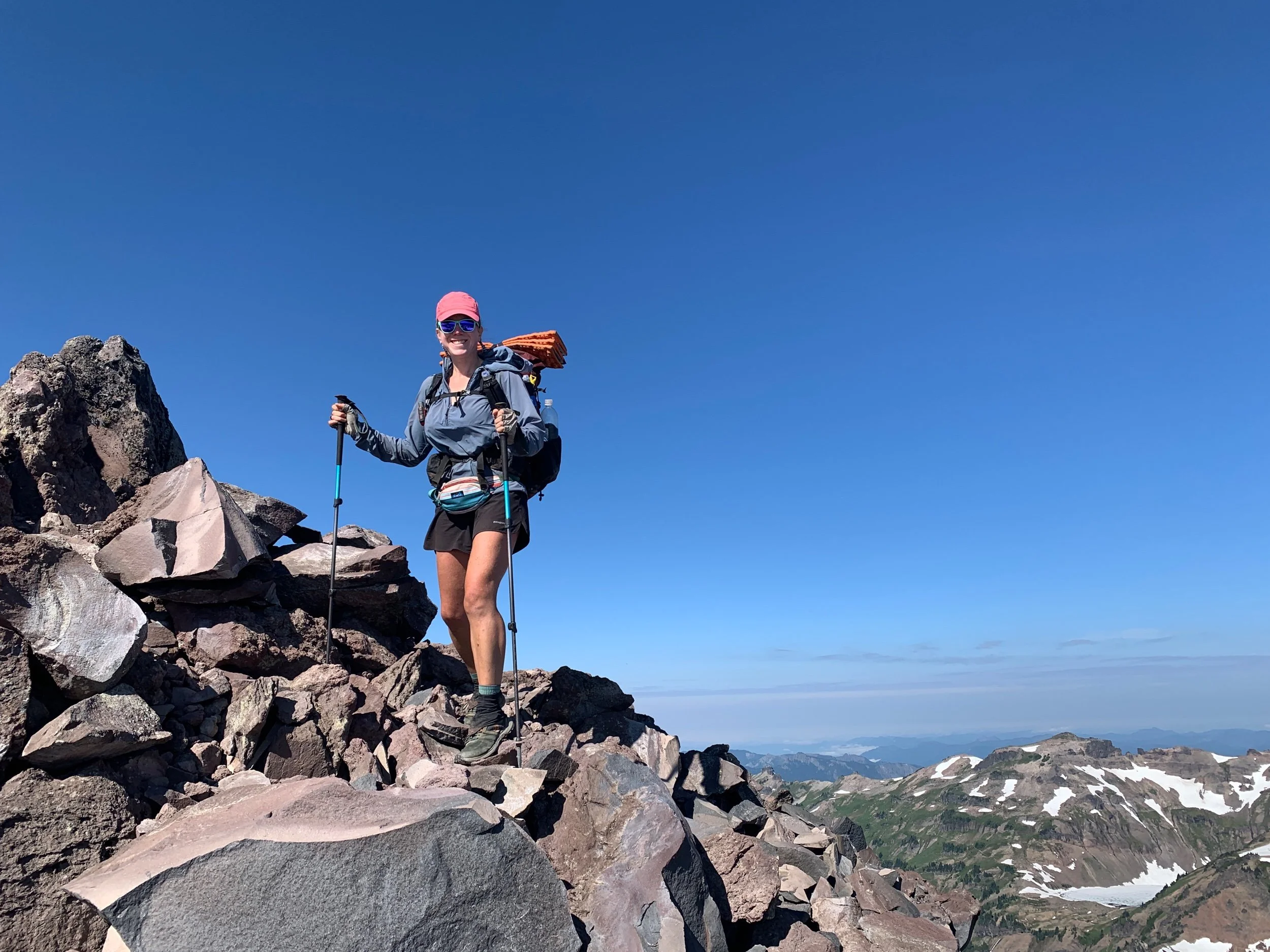
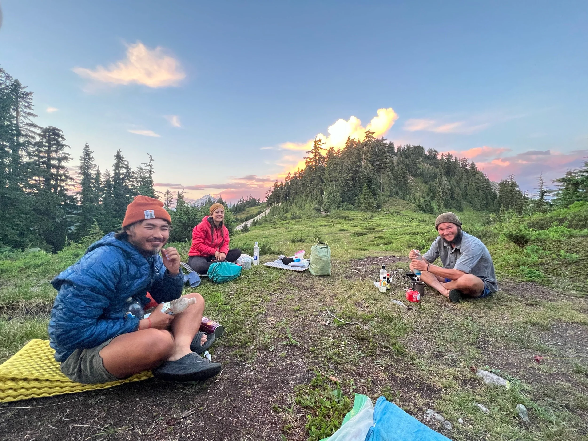
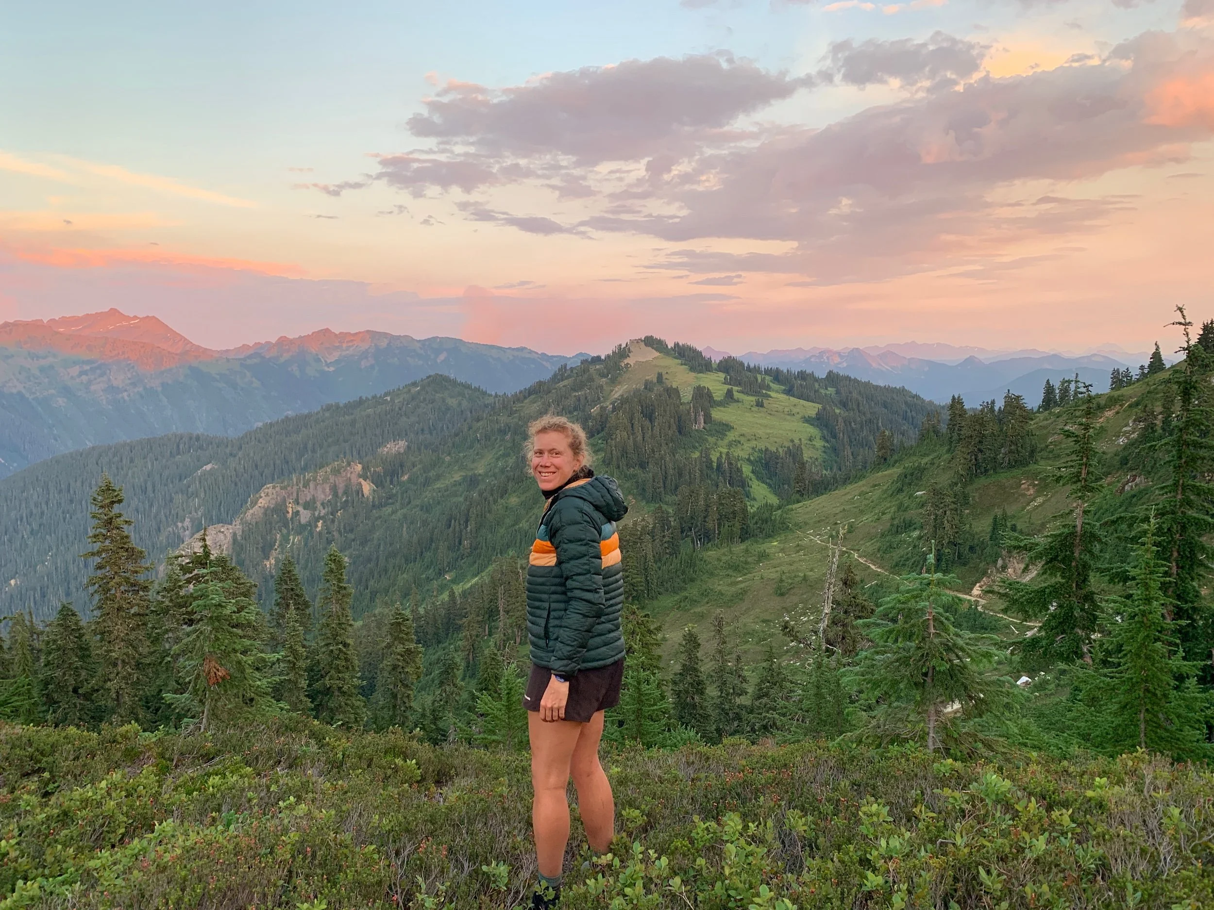
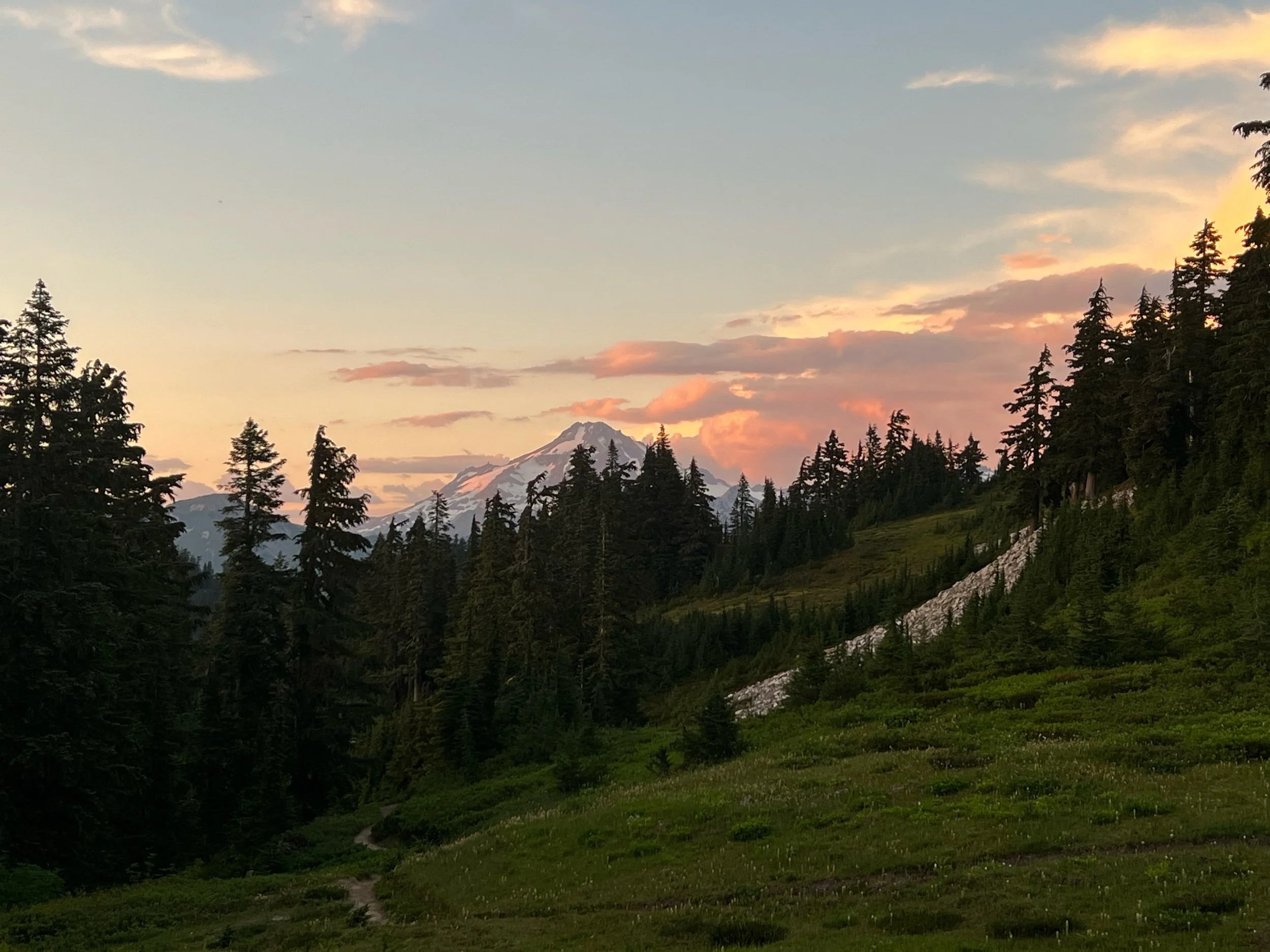
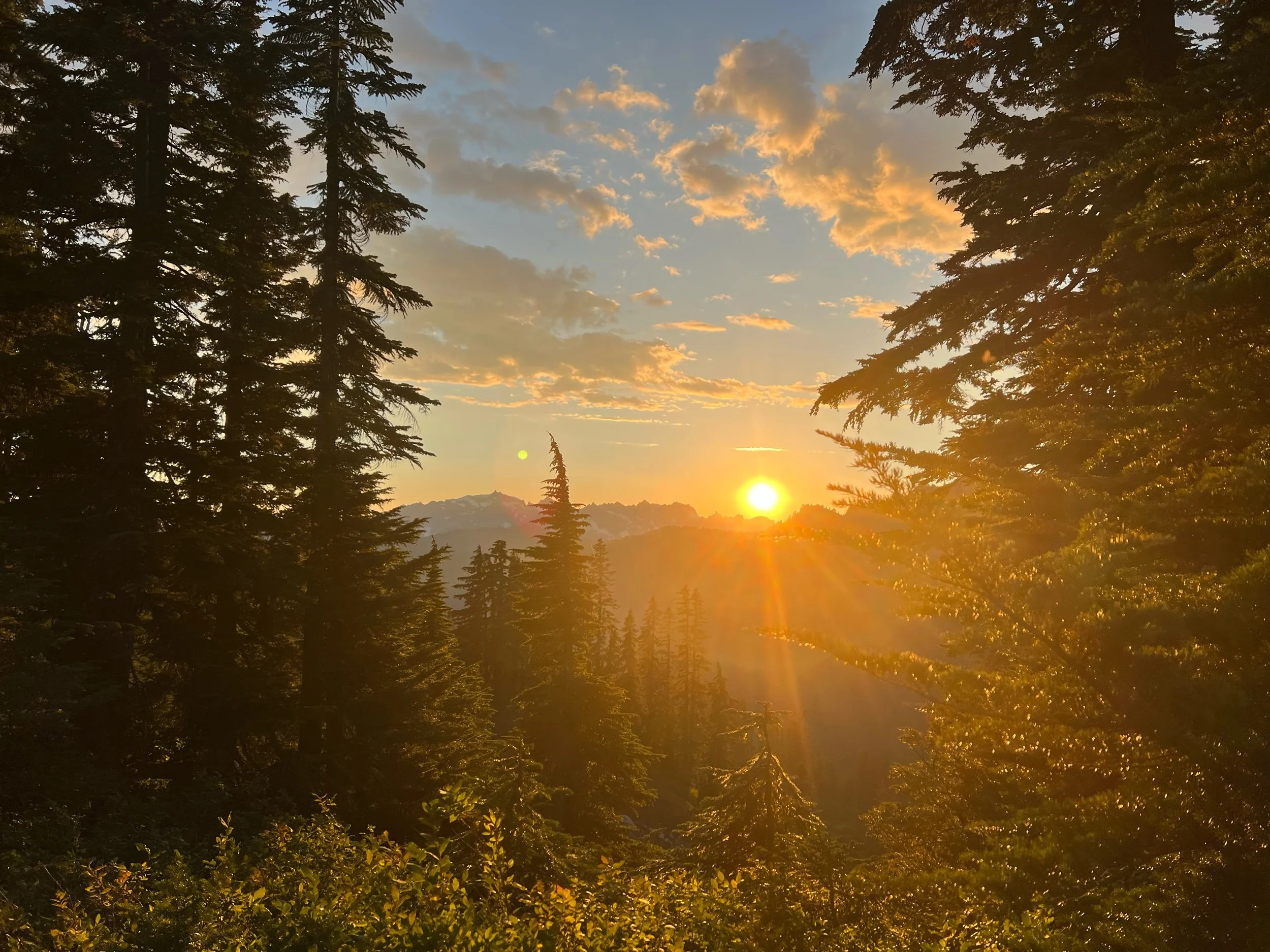
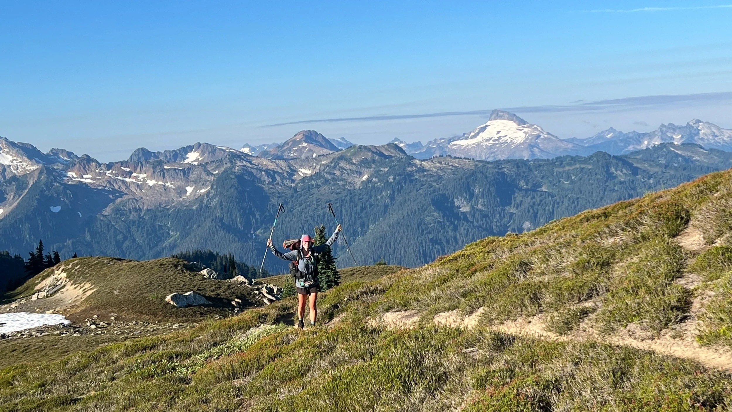
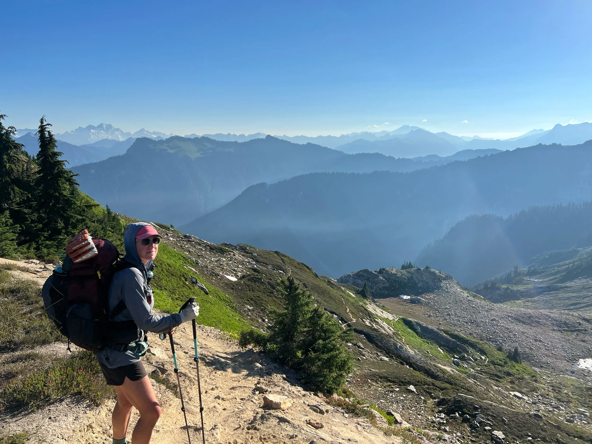
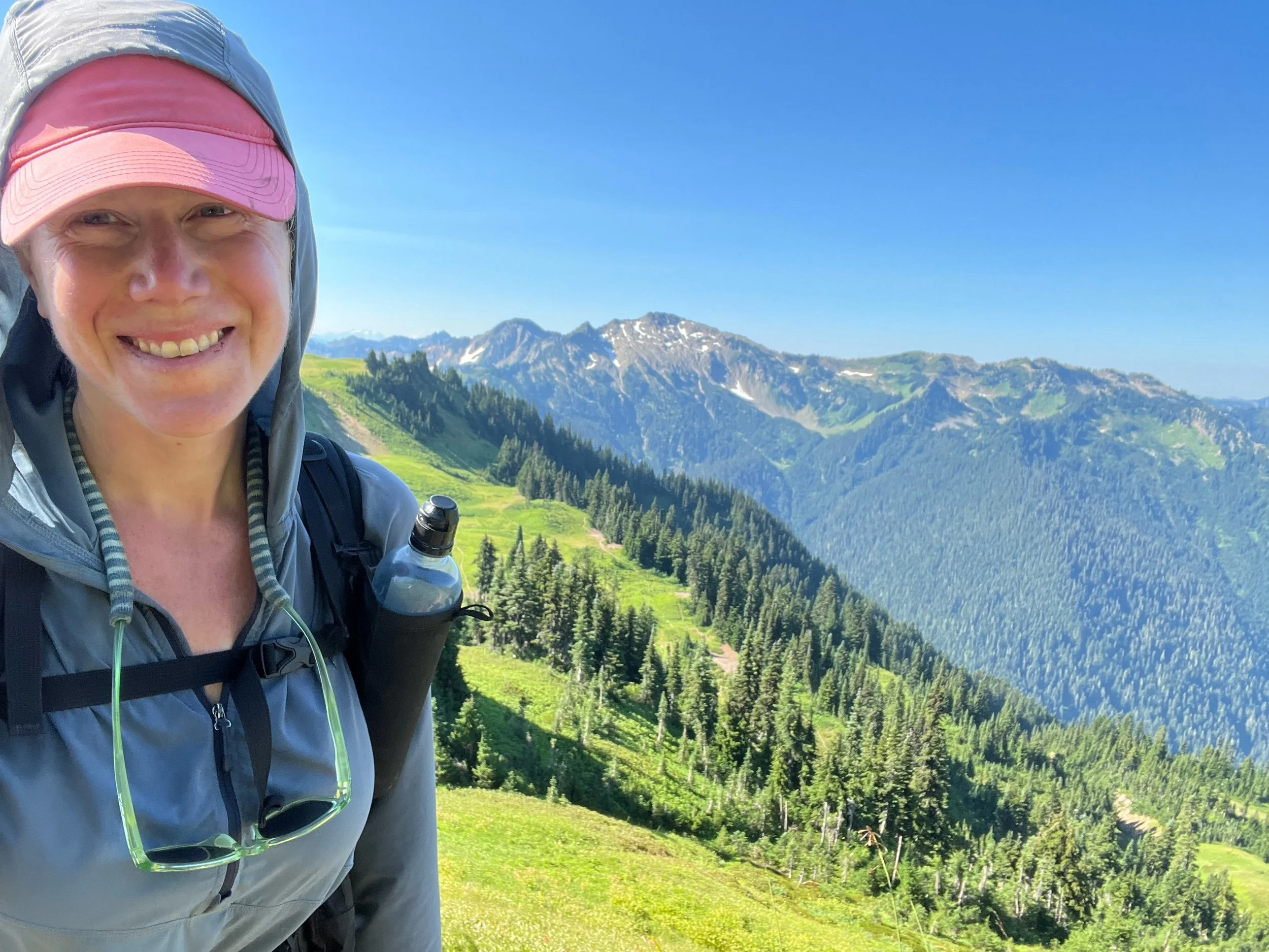
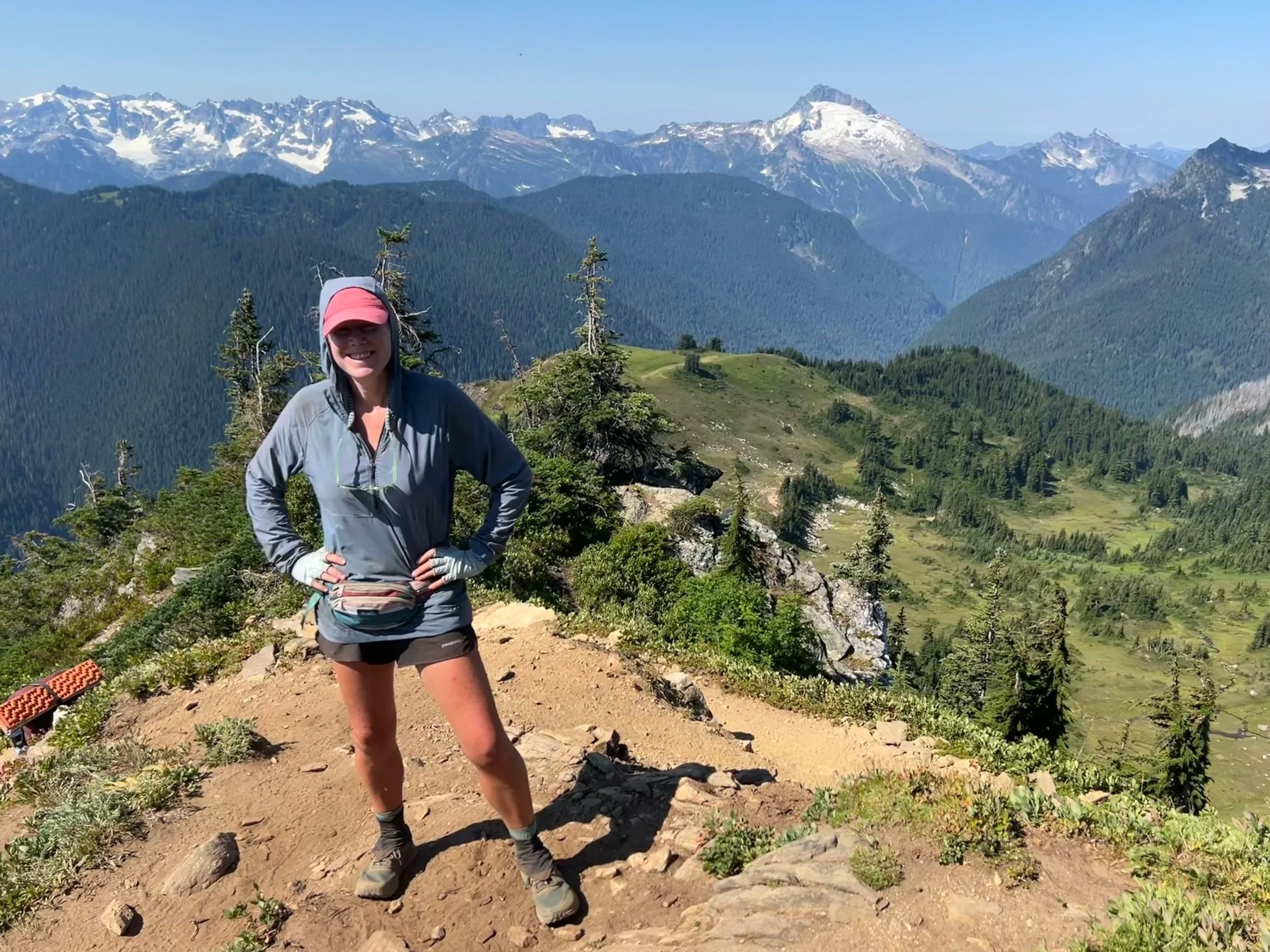
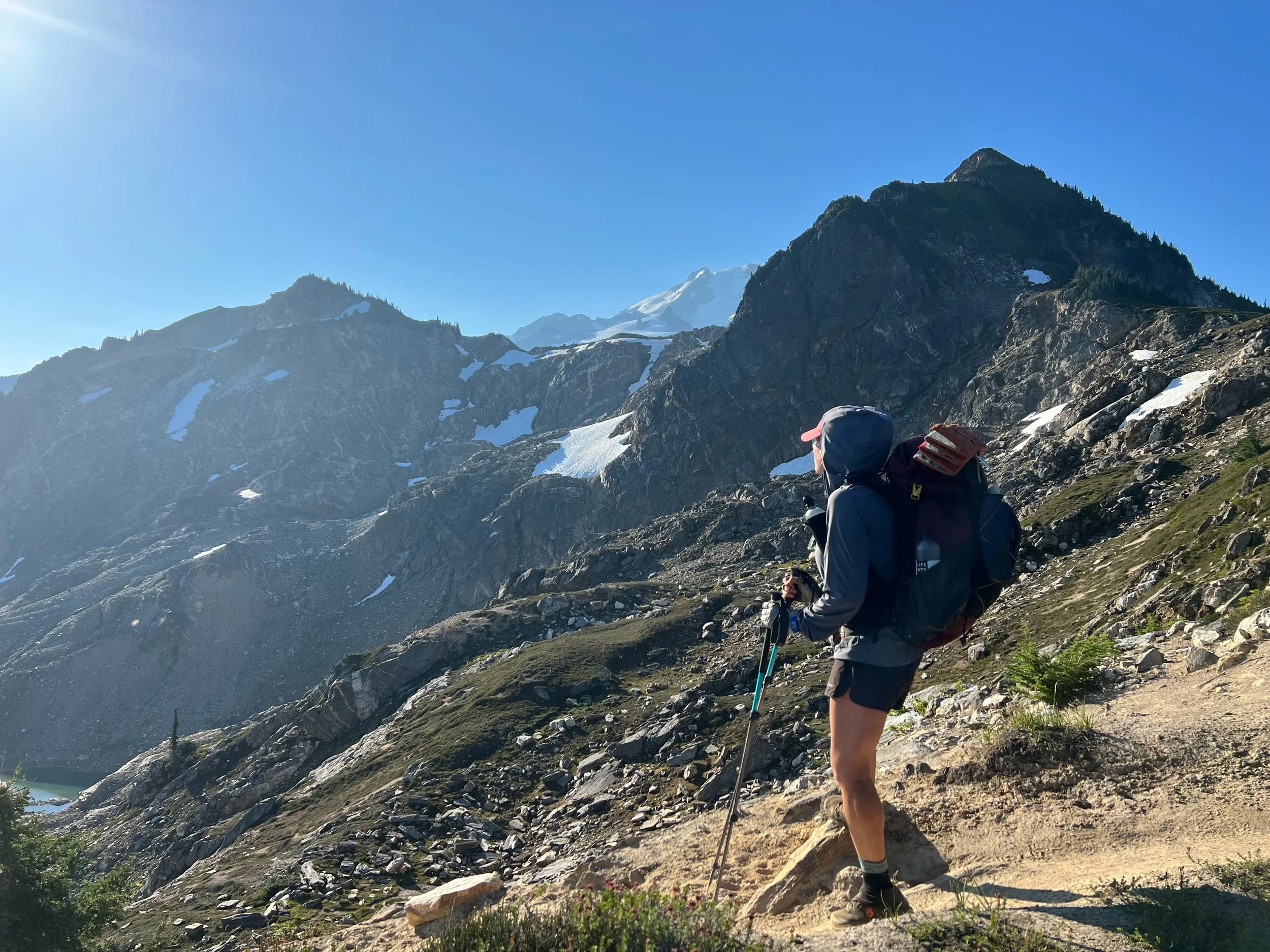
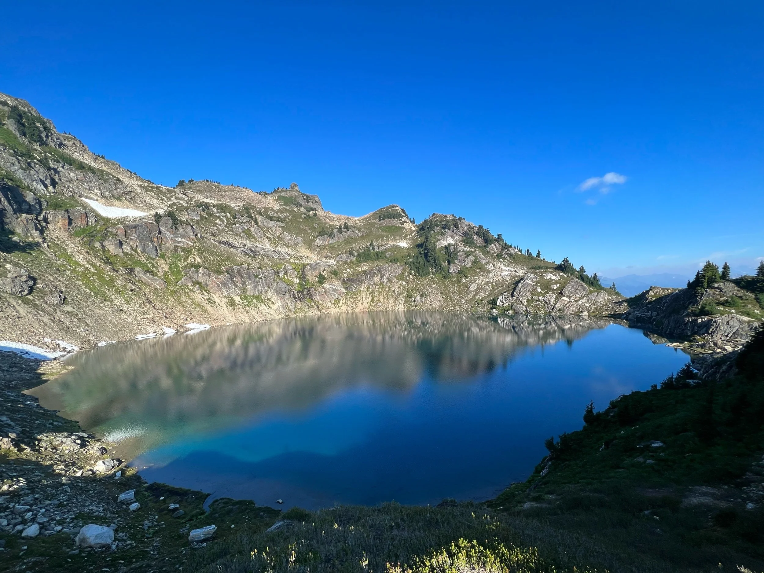
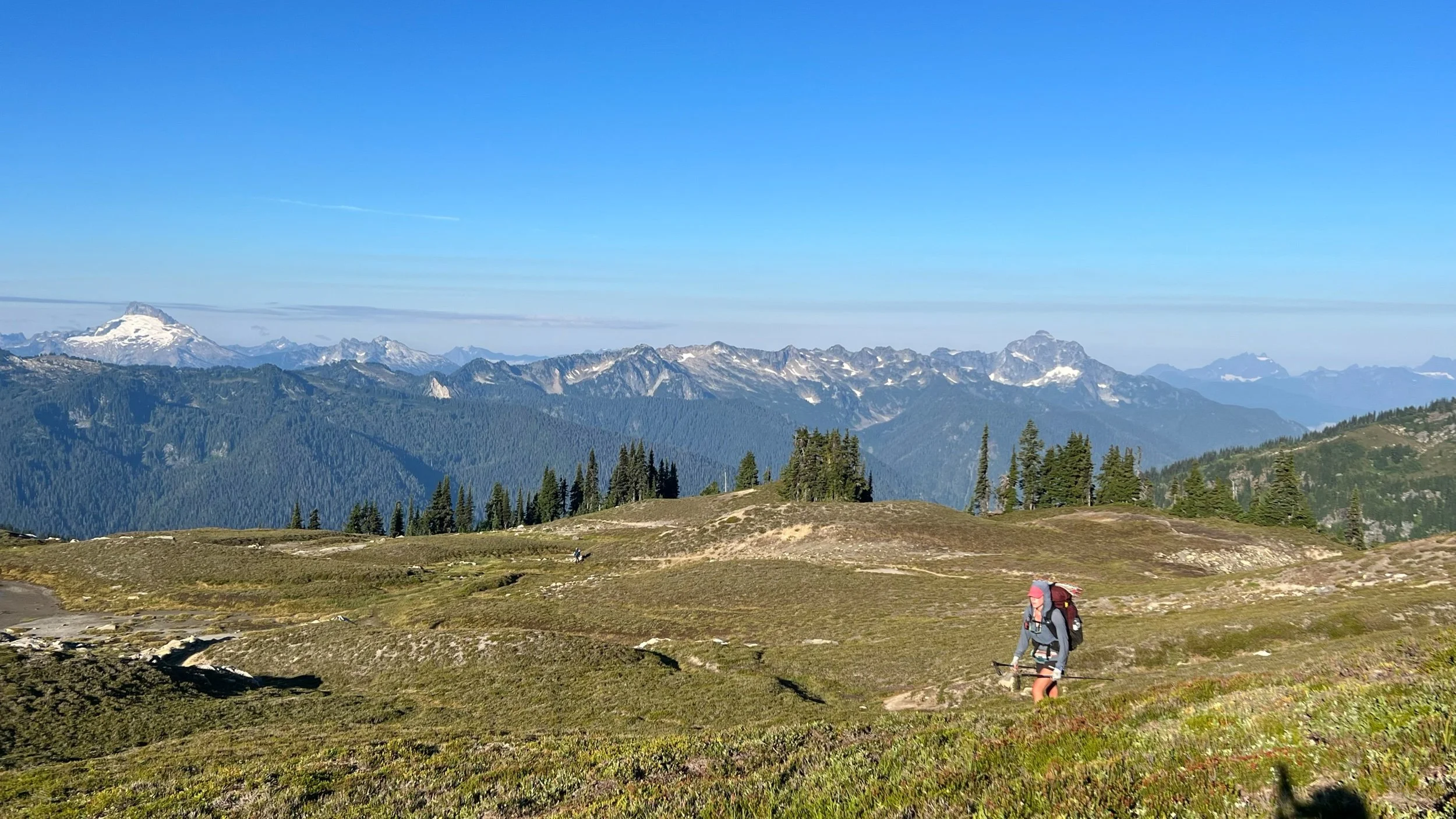
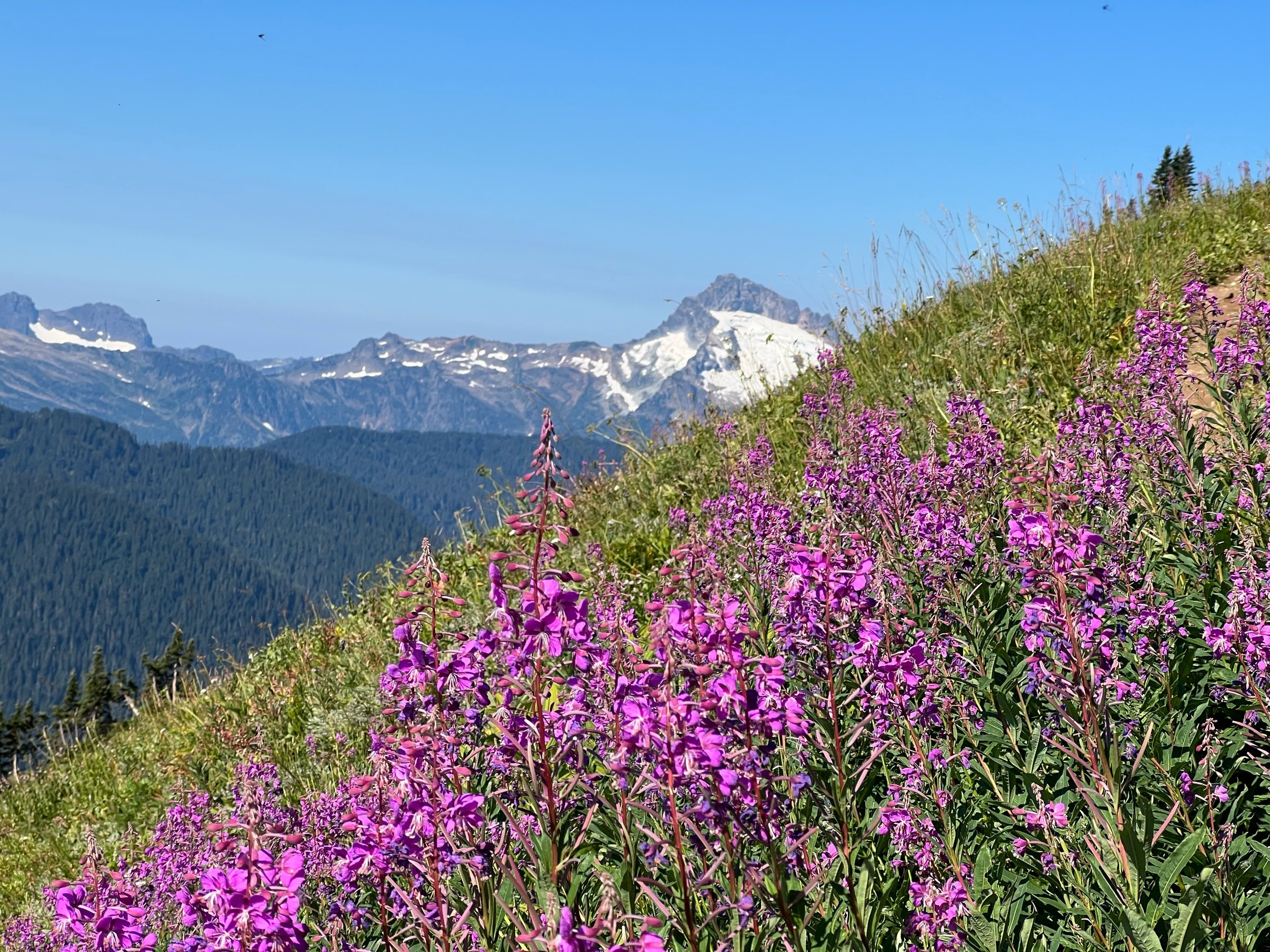
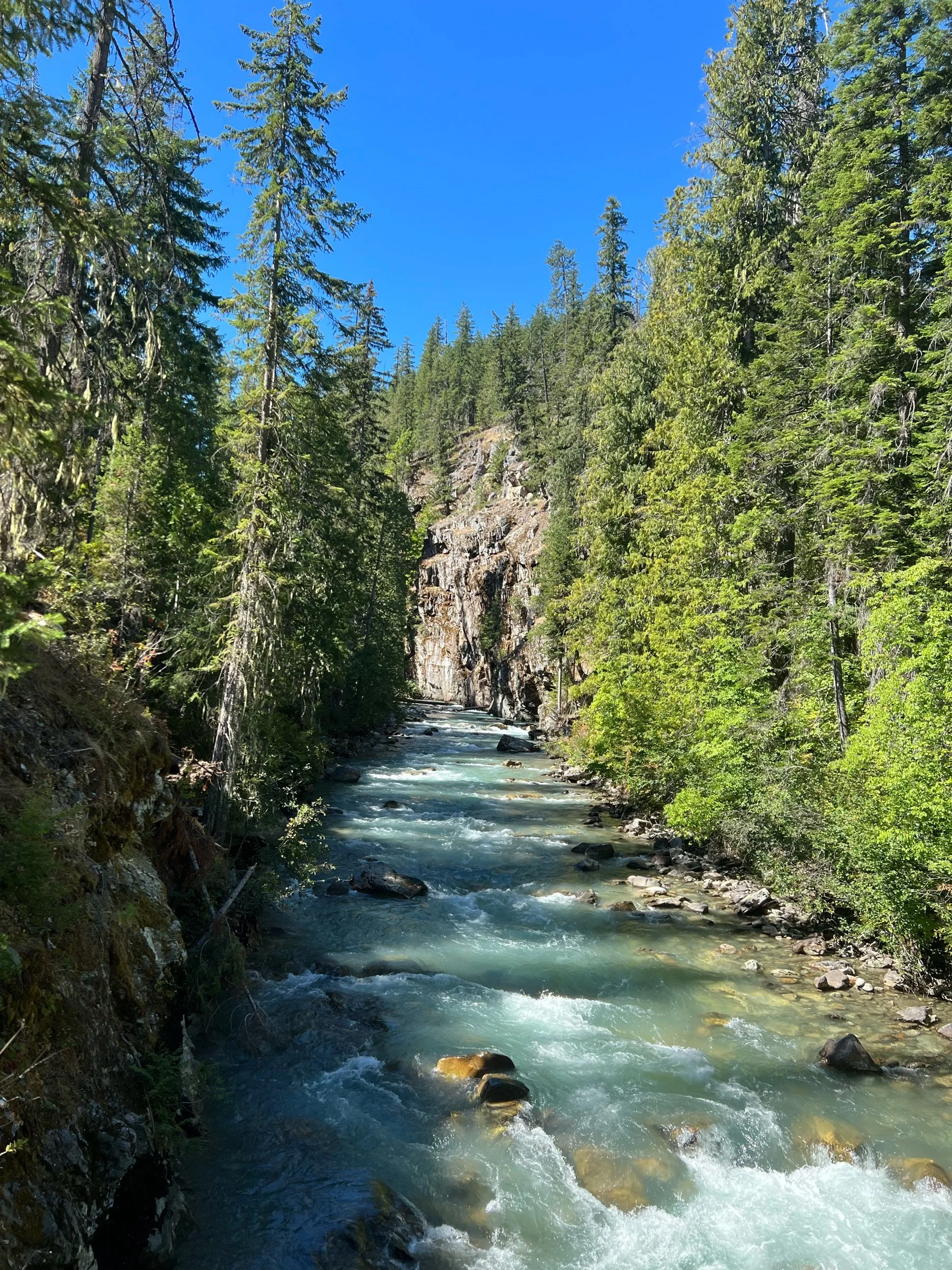
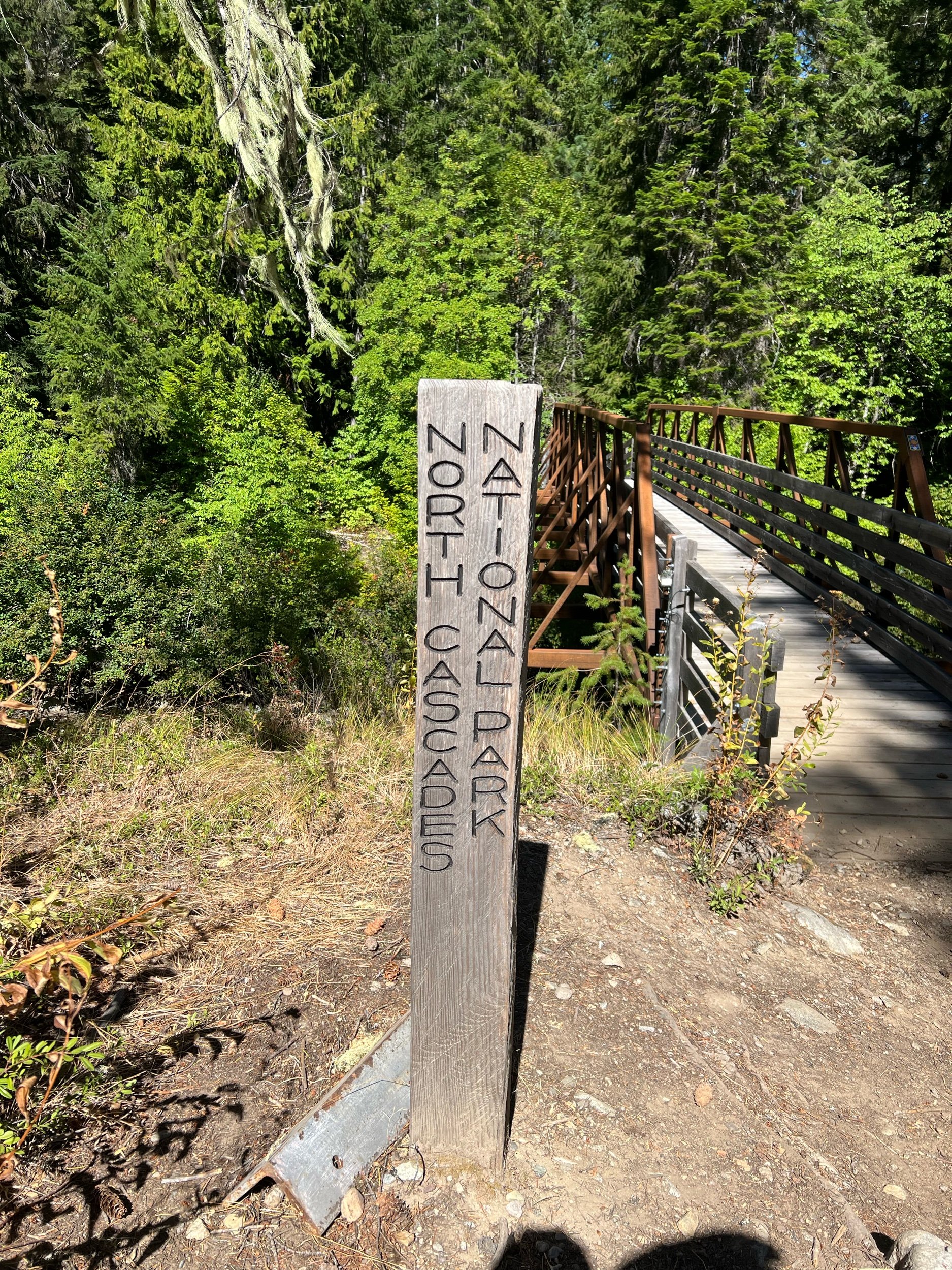
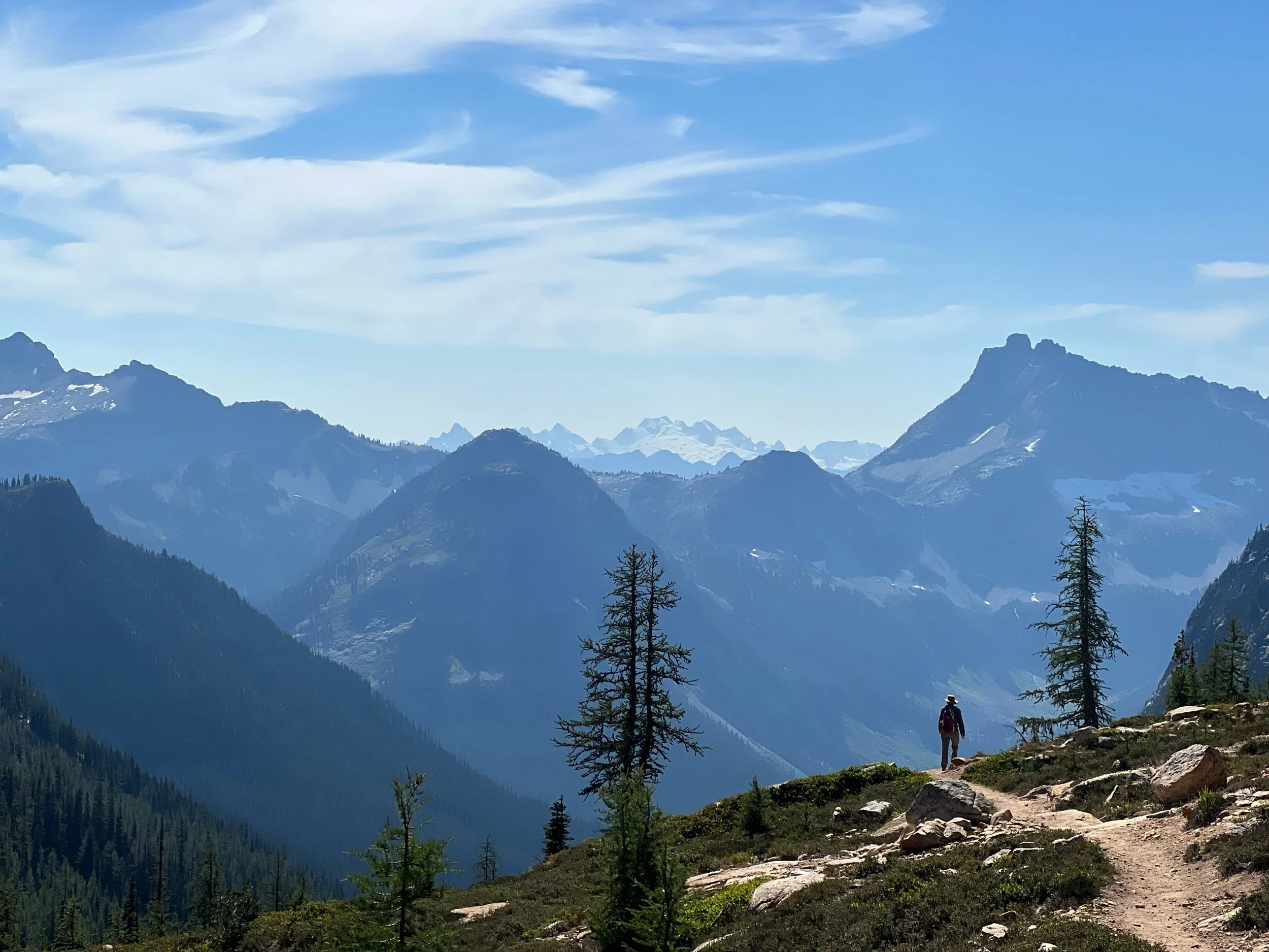
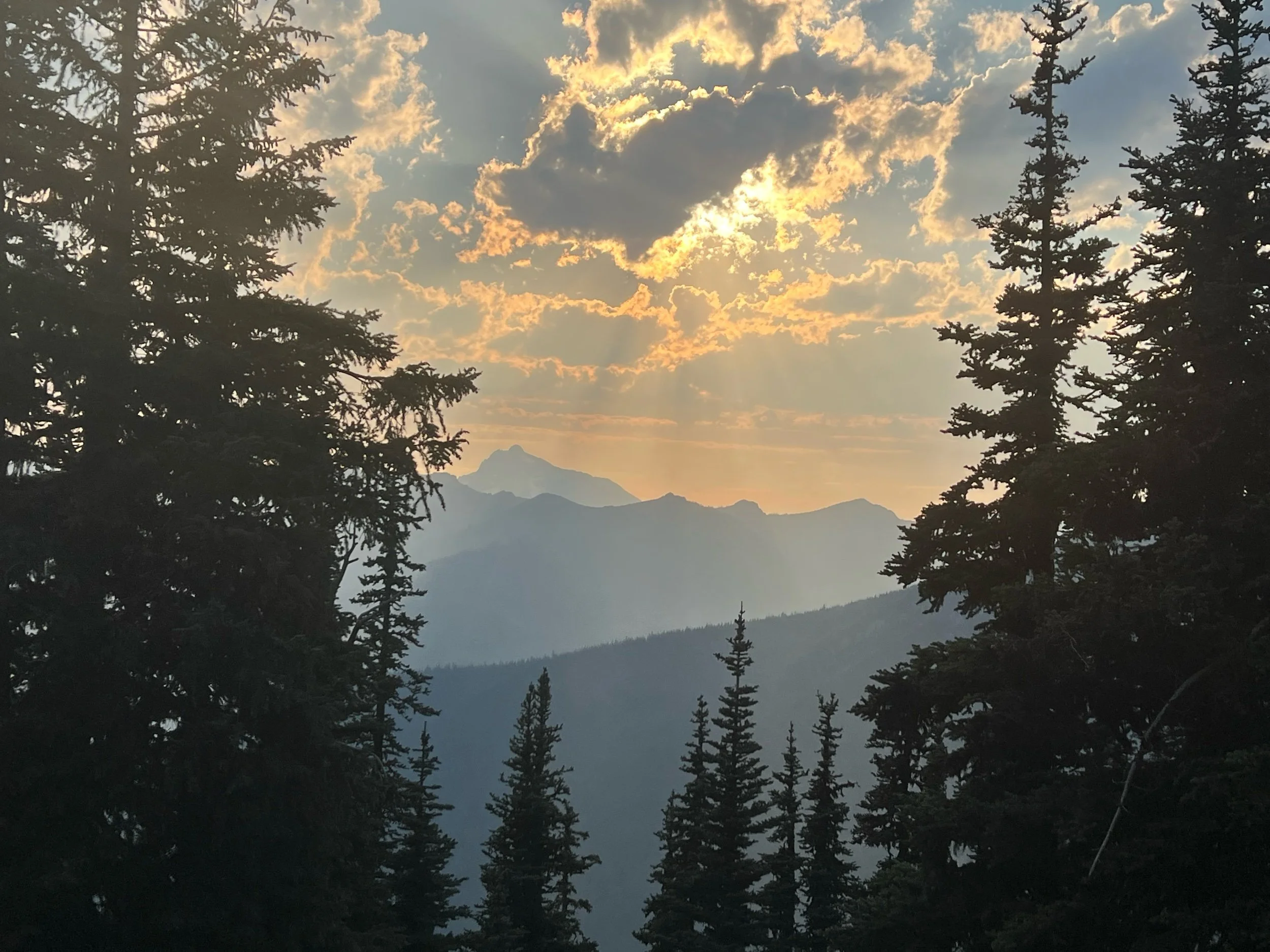
We left Snoqualmie Pass (mile 2394.1) on August 19. It’s now September 10 and nearly 400 miles later, so that section feels like a lifetime ago. I honestly can’t remember many details of the section, except from the photographs that jog my memory. The highlights include my first bear sighting and beautiful sunrises and sunsets over mountain vistas. During this section, I listened to Butcher’s Crossing, a book recommended by my friend, Caveman. (I met Caveman early on the trail, but he’s been hiking with us since Washington.) It’s a book about self-discovery and the American West. In any event, the protagonist describes the feeling in his legs as nearly numb, but not numb enough not to feel the pain. It is the most apt description of how my feet currently feel and how they felt throughout the section. My feet tingle and lack feeling, but they simultaneously throb, particularly at the end of the day, at night, and when I wake up. But somehow, they continue to carry me through, including Washington’s never-ending 2-3 thousand-foot ascents and descents and rocky and rooty terrain. Thankfully, the payment in pain is worth it, as the payoff is views such as the ones pictured below. Notably, I have almost no photos of myself or others during this section. So, mountain landscapes, my tent, and a bear will have to do.
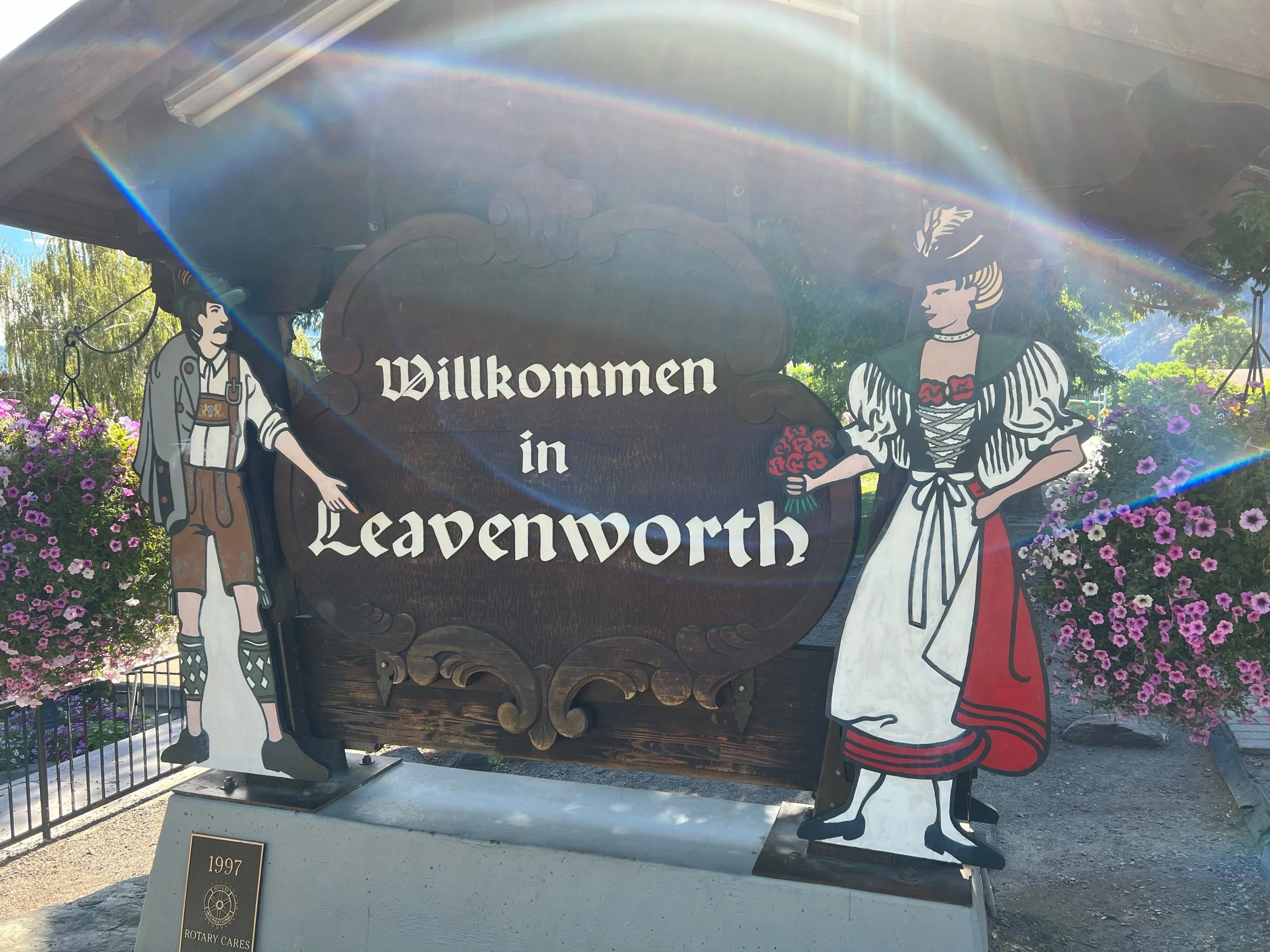
On August 22, we reached Steven’s Pass, a ski resort at mile 2465.2. We decided to spend the night in Leavenworth, WA, a town about 20 miles away. Leavenworth is a town that is straight out of Epcot or Bavaria, depending on your perspective. Everything in the town is Bavarian, from the food, to the building style, to the sign lettering, to the music playing in the town square. But, we were thankful for the bed, as it would be our last for at least a couple of weeks. We considered spending two nights, but we had a flight to catch on September 4, as Illy, Squeezy, Caveman and I had planned to return to the sections in California and Oregon that we had missed. We all desperately wanted to stay in the comfortable beds at the Bavarian Lodge forever, but we dug deep and left town on August 23 to hike Section K of Washington, definitely the hardest section in Washington and considered by some to be the hardest section on the trail.
Section K, from Steven’s Pass, to Stehekin (mile 2465.2, to mile 2572.9) lived up to the hype. This was the hardest section for me physically, for sure. But it tested me mentally more than any other part of the trail. It was the first time I considered finishing the trail when we completed Washington and not going back to the missed sections. It wore me out and it felt like it should have been the end, likely due to its proximity to the actual end of the trail. My body didn’t want to be hiking anymore. I had hiked about 2,000 miles at this point and I didn’t know if I had it me to go backwards to hike another 580 miles. Rather than my body acquiescing to my brain’s insanity as it previously had, my brain started to acquiesce to my body’s pains and lose its focus and enjoyment. I was hiking to get the miles done, rather than appreciate what was in front of me. My mind started to drift not only to a consistent bed and shower, but also to my life post-trail. I sorely missed my family and friends, too. I didn’t come up with any magical solutions to overcome my malaise and physical and mental exhaustion, but I took each day as it came, telling myself I would assess how I felt after Washington. I also tried to remember that I would miss this when I was done, taking in the beauty and simplicity of my surroundings. Lastly, and thanks to a recommendation from Squeezy, I listened to Go the Distance, a song from the movie, Hercules, on repeat to give me a boost, particularly as I was nearing the end of each day (Michael Bolton also has a great version.). Perhaps some folks at Disney were thru-hikers, as this is the chorus:
I am on my way
I can go the distance
I don't care how far
Somehow I'll be strong
I know every mile
Will be worth my while
I would go most anywhere
to find where I belong
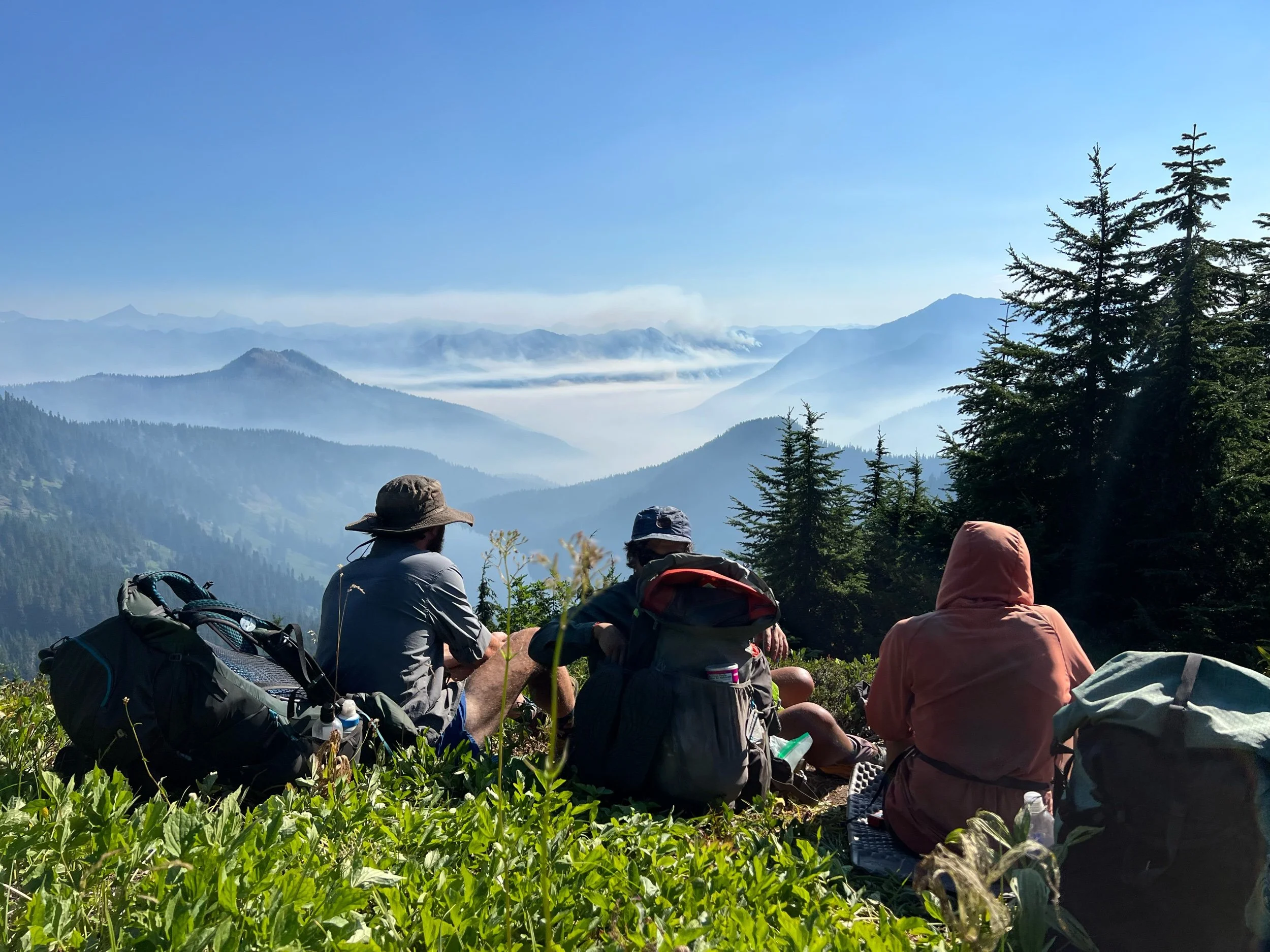
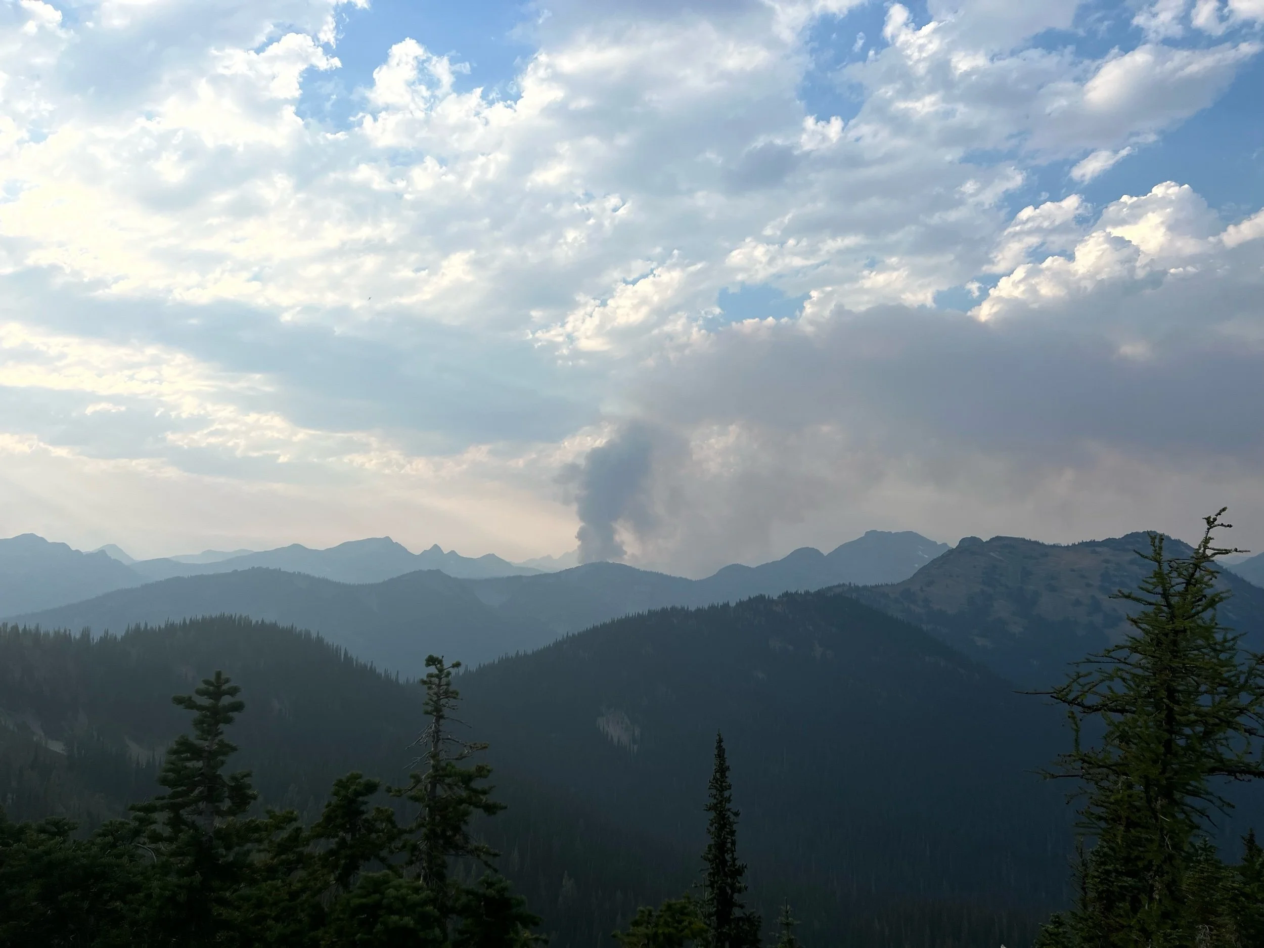
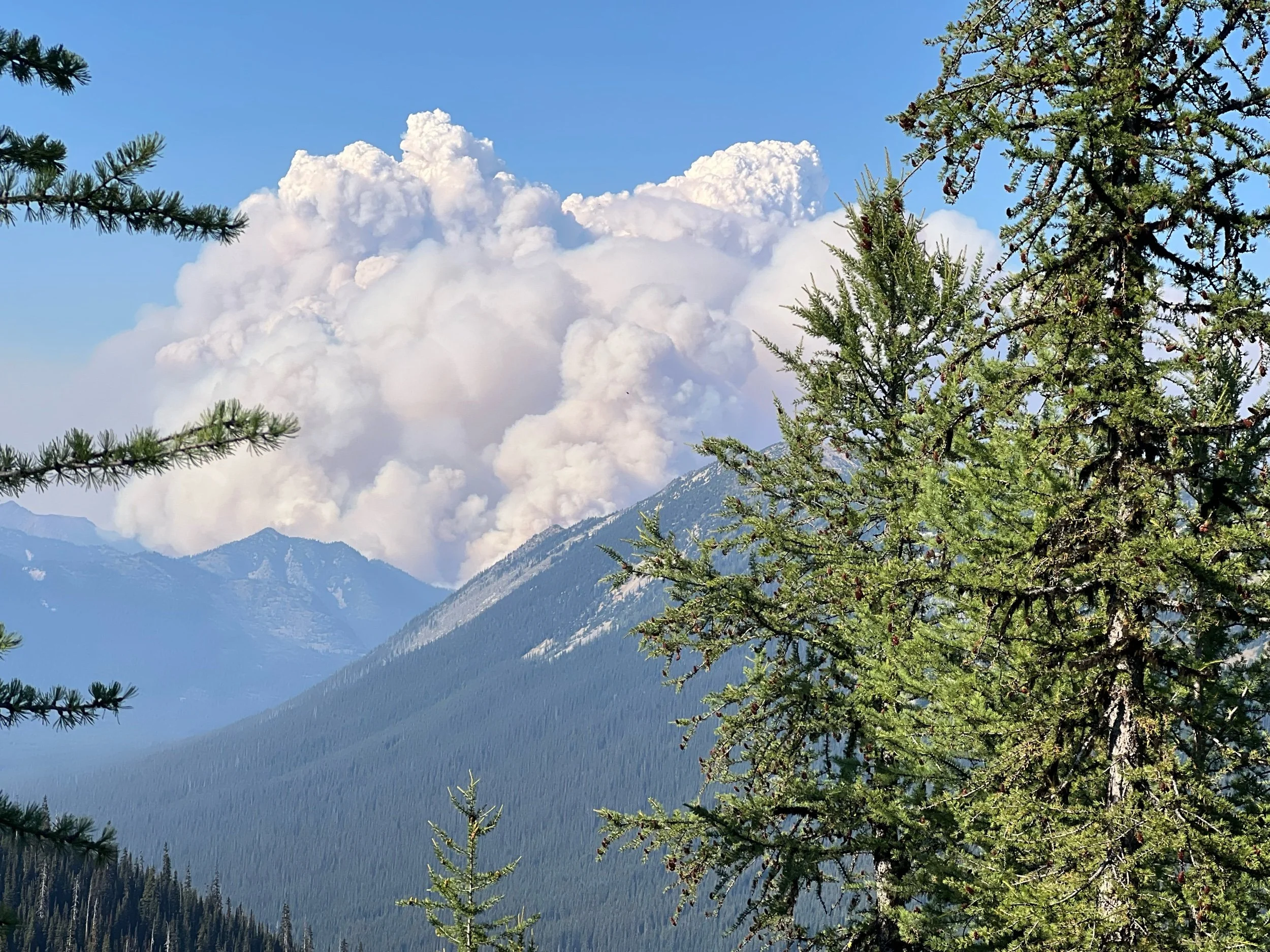
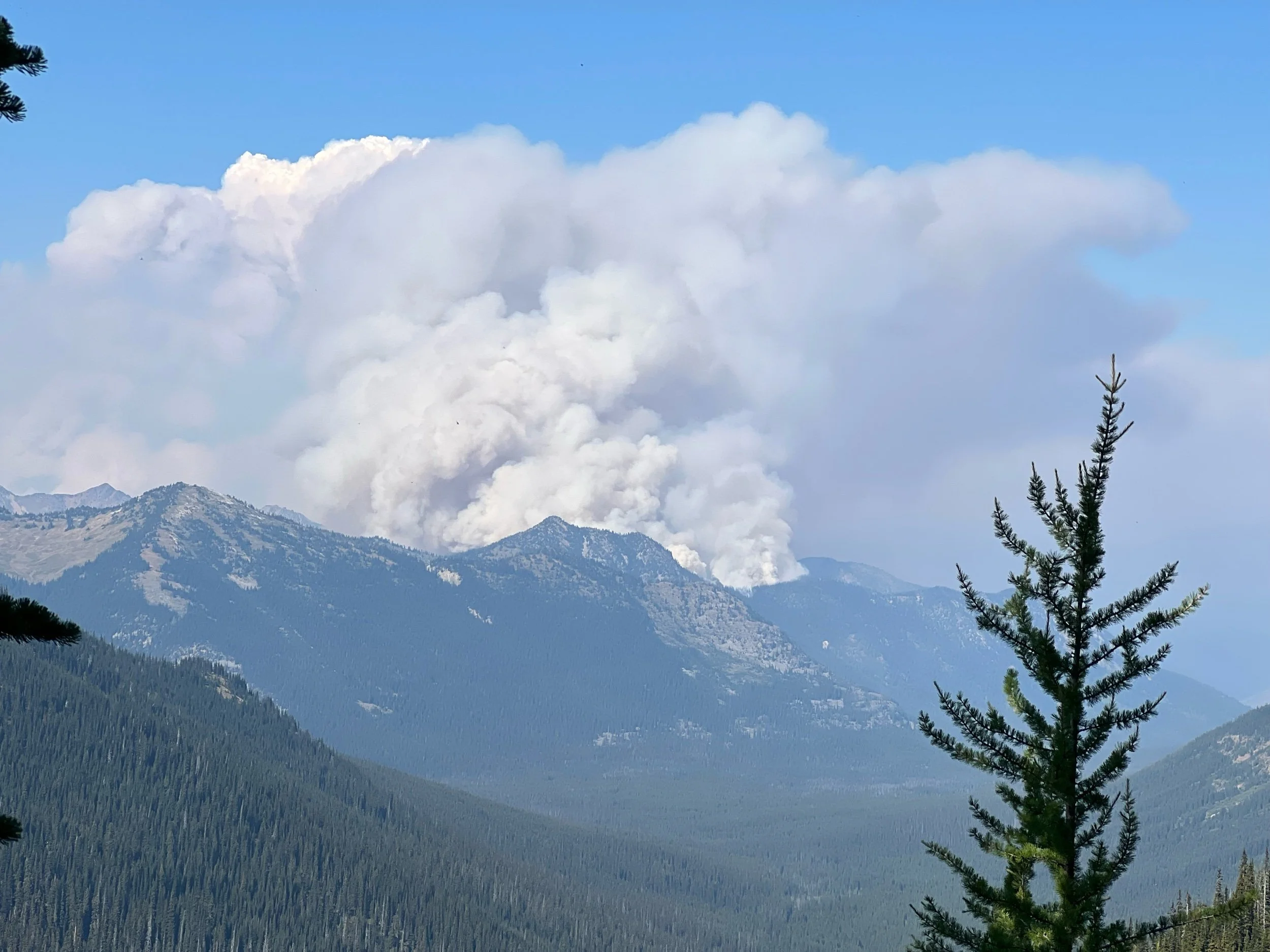
While the scenery was undeniably beautiful, my faltering mental state was exacerbated by the fires that seemed to be popping up everywhere around us. In the middle of our first night on trail after leaving Steven’s Pass, I woke up to the smell of smoke and we saw ash had fallen on our tents. We hiked for a couple of hours, having reached a ridge where we could see smoke from fires in the not-so-far distance. Star Camel sent a satellite text to his mom, who contacted the Forest Service, who told her that the PCT was still safe to hike. So we kept hiking.
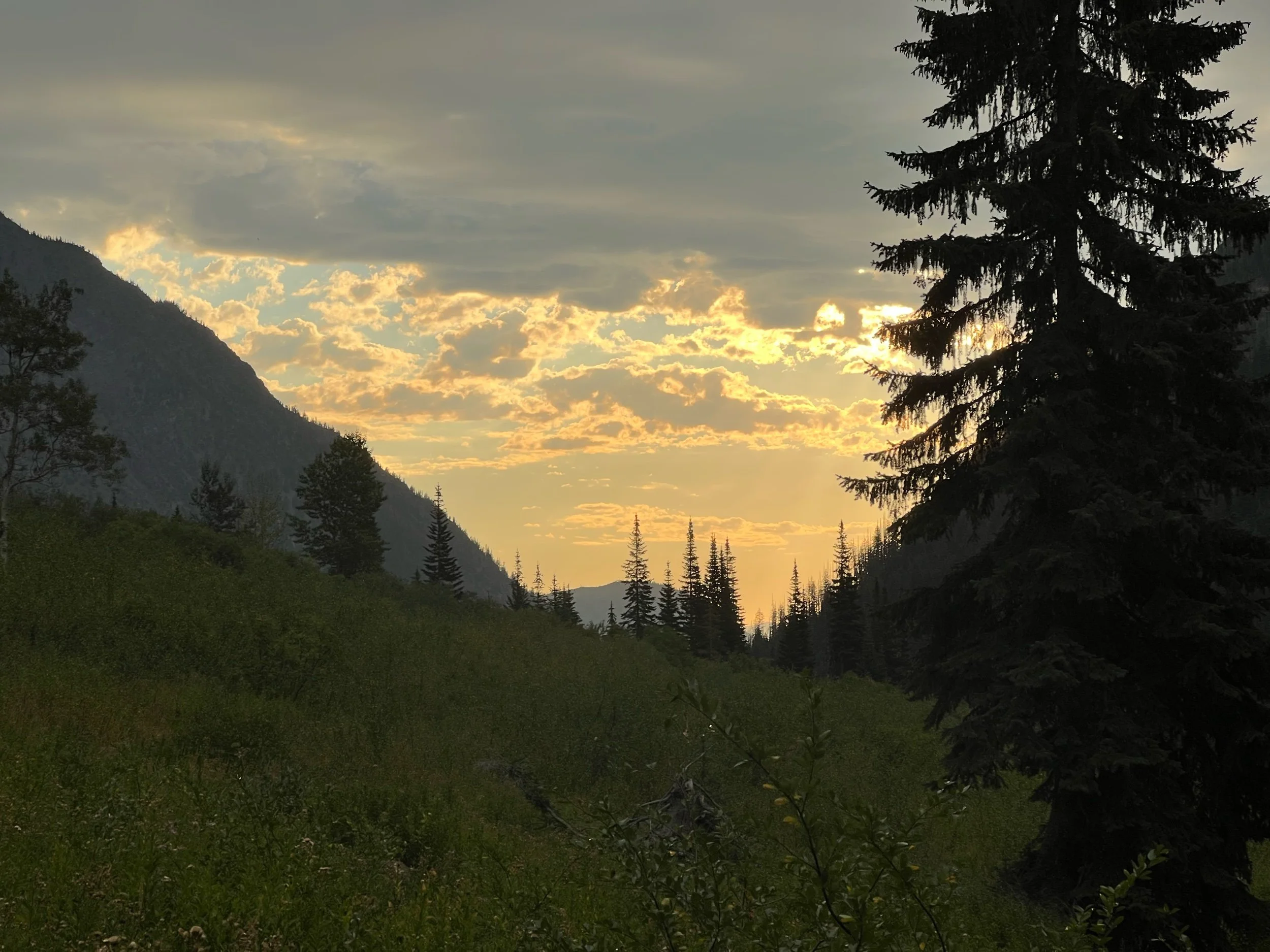
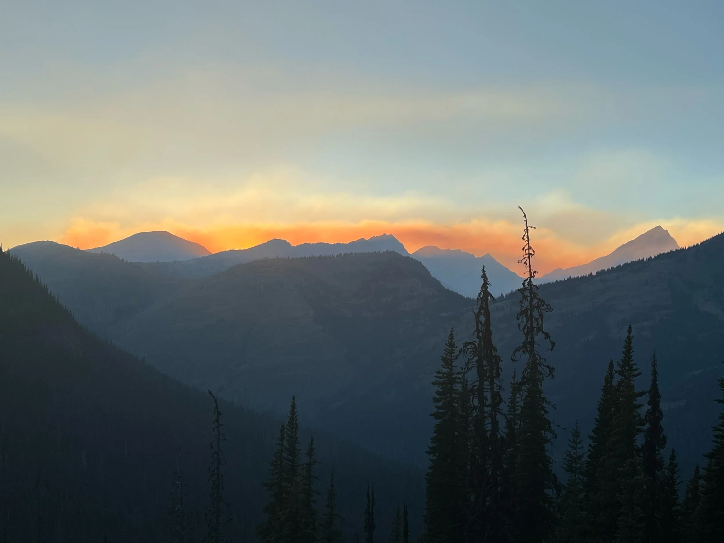
The actual, physical act of hiking didn’t help my mental state, either. It made my body hurt more, as I could feel my toes gripping the rooty and and rocky trail with each step. Each day, we’d go up a few thousand feet, just to go back down. And then we’d go back up and go back down, traversing multiple mountains a day. Over and over. On August 25, after an already arduous day, we reached a river around 4:30 with gushing, opaque water. There didn’t appear to be any safe spot to cross, except for walking along a skinny log, then hopping to a large boulder to make it to the other side. Illy and Renee didn’t trust themselves on the log so they tried to find a place to ford the river, but the water was too high and too strong, without any visibility as to the depth. For better or worse, we went for the log route. It was terrifying, as I knew I’d severely hurt myself if I fell. With my heart racing, I made it across. Illy and Renee followed. And, Caveman (pictured below) made it across before thinking about the consequences of falling (likely, the best way to cross). With all of us across the river, mentally and physically drained, we then had to climb a few thousand feet to make it to our campsite, at Fire Creek. The sunset below is of the final climb of the day, about a mile from camp. I took a minute to take it in.
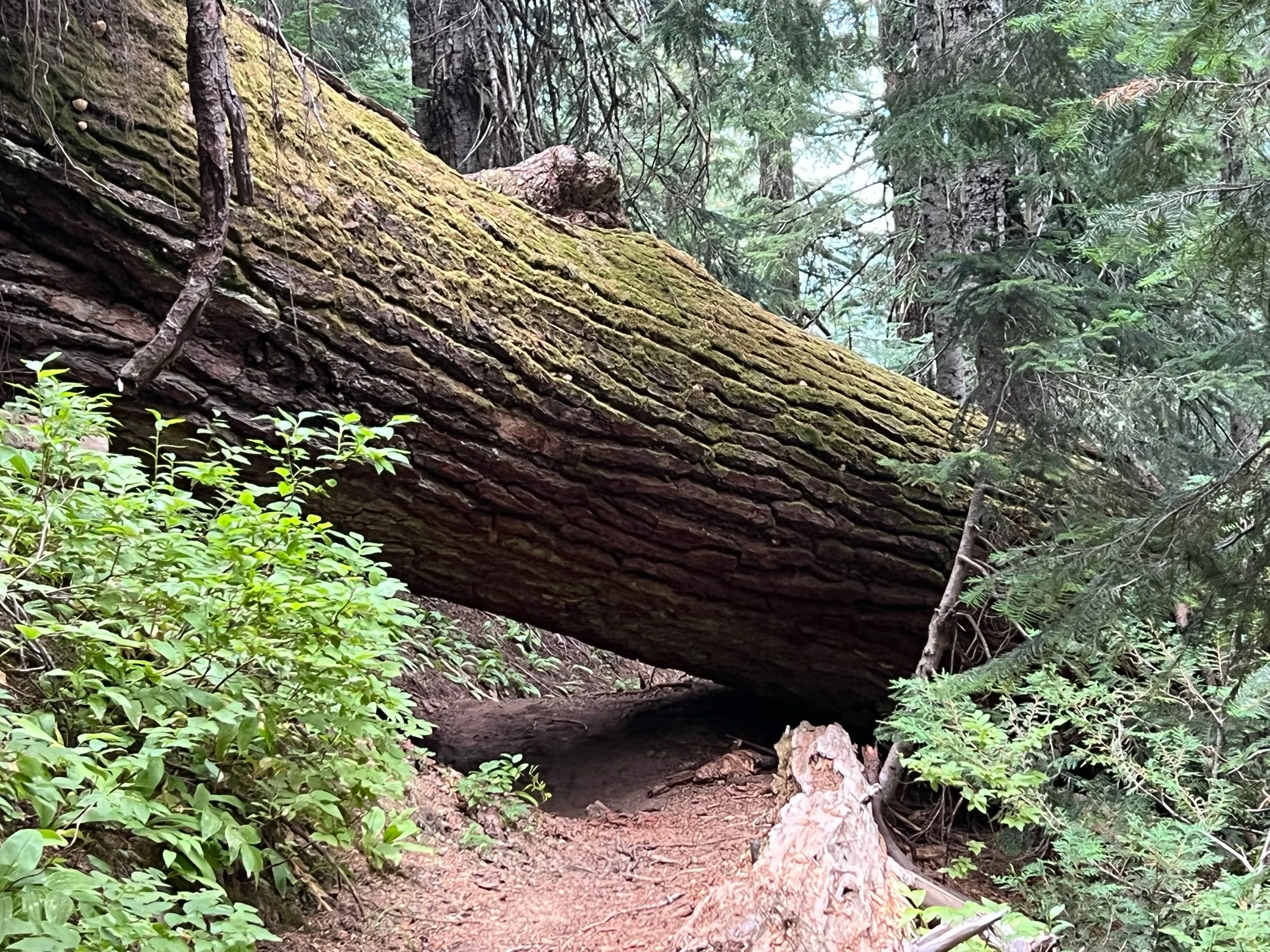
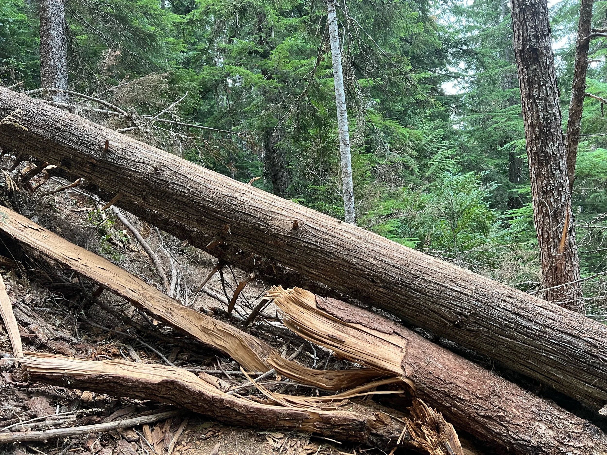
The next day, despite the previous day’s difficulty, we had multiple passes to climb. Finally, we saw a downhill on the map all the way to camp that looked gradual and easy. But, rather than a respite, this long downhill was not maintained, with portions of the trail washed out and dozens of downed large trees blocking the trail. For each downed tree, I had to either climb over them, squeeze below, or hike down or up to get around them. Doing this without a pack wouldn’t have been easy, but trying to do it with nearly 30 pounds on my back made each climb over a tree a test of my knees’ will. Everything hurt. I was hiking by myself this day, so I don’t have any photos of me going over such trees to provide a sense of scale. But, I did fall twice this day, including sliding down about 10 feet of a side of a mountain trying to get around one. Thankfully, I wasn’t hurt. I just cursed each fallen tree, literally yelling out loud “You’ve gotta be $&*@ kidding me!” and various other expletives, as I approached yet another tree. I didn’t get to camp that night until about 8:30 pm, worn out and exhausted, only to have to hike two more days, to Stehekin, where no bed was awaiting us.
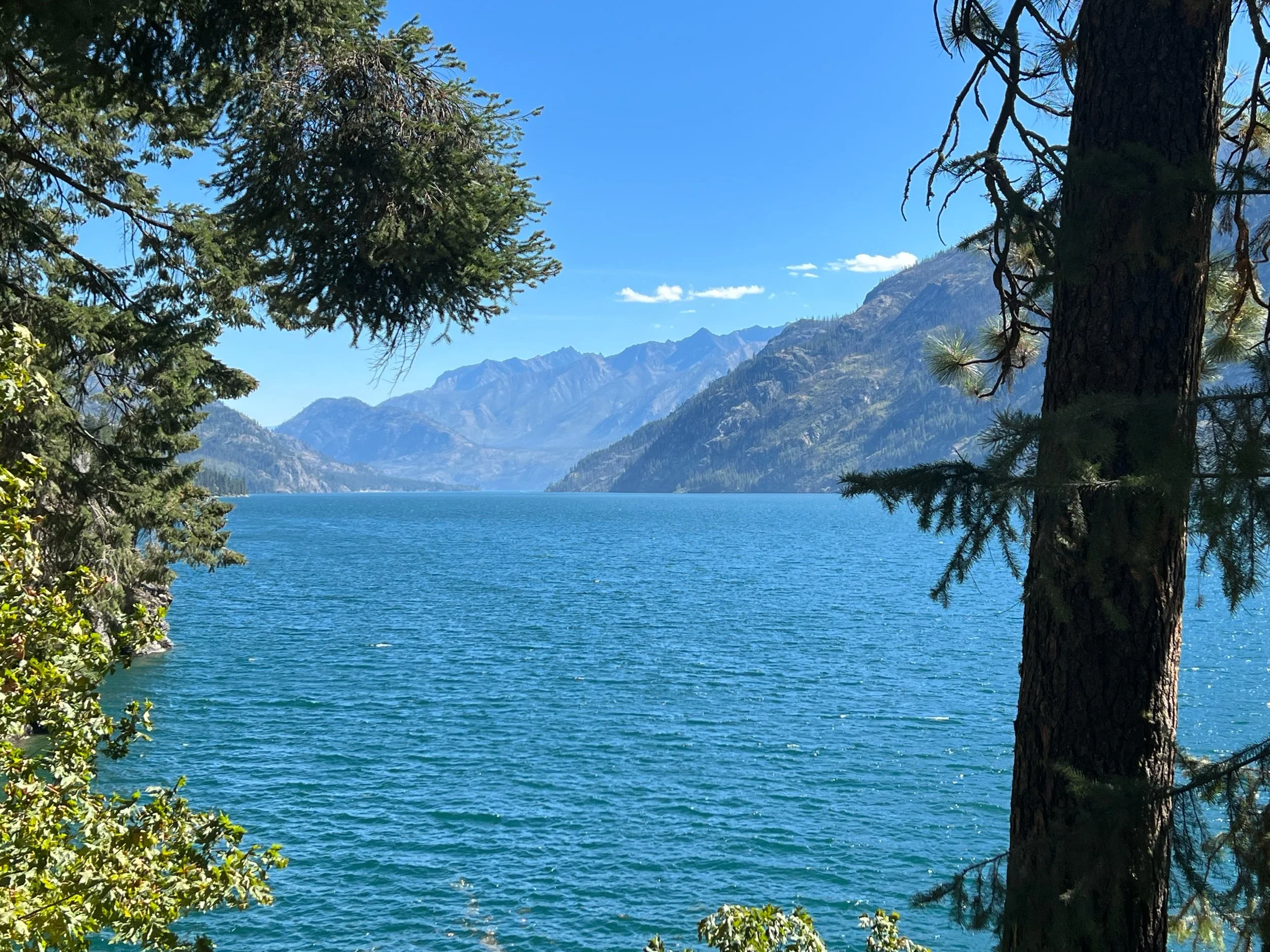
In spite of the physical and mental hurdles of this section, there were many stunning sights to behold in this remote corner of Washington. It was a breathtaking stretch of trail, when I took a moment to look up and take in the wilderness around me. It felt special to see these mountains, as they aren’t easy to reach, but worth the trek it takes to get there.
On August 28, we made it to Stehekin, a town with a population of 75 that can only be accessed by walking or by boat and sits on Lake Chelan. Stehekin has a post office, a general store, and a bakery. If you want internet, you need to buy it at the general store right when it opens because they only sell 30 access codes a day. The post office’s busiest months are August and September, as PCT hikers, including myself, send themselves resupply boxes for the final stretch. The post office stores the boxes in a shed nearby. I retrieved mine, only to find it splatted with what appeared to be blood. The postmaster told me a chipmunk got in, was killed by a trap, and its remains splattered across a number of packages. He offered me some hand sanitizer.
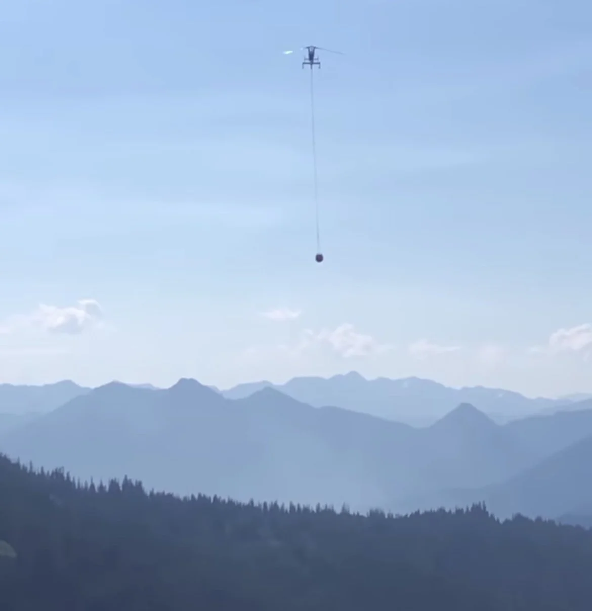
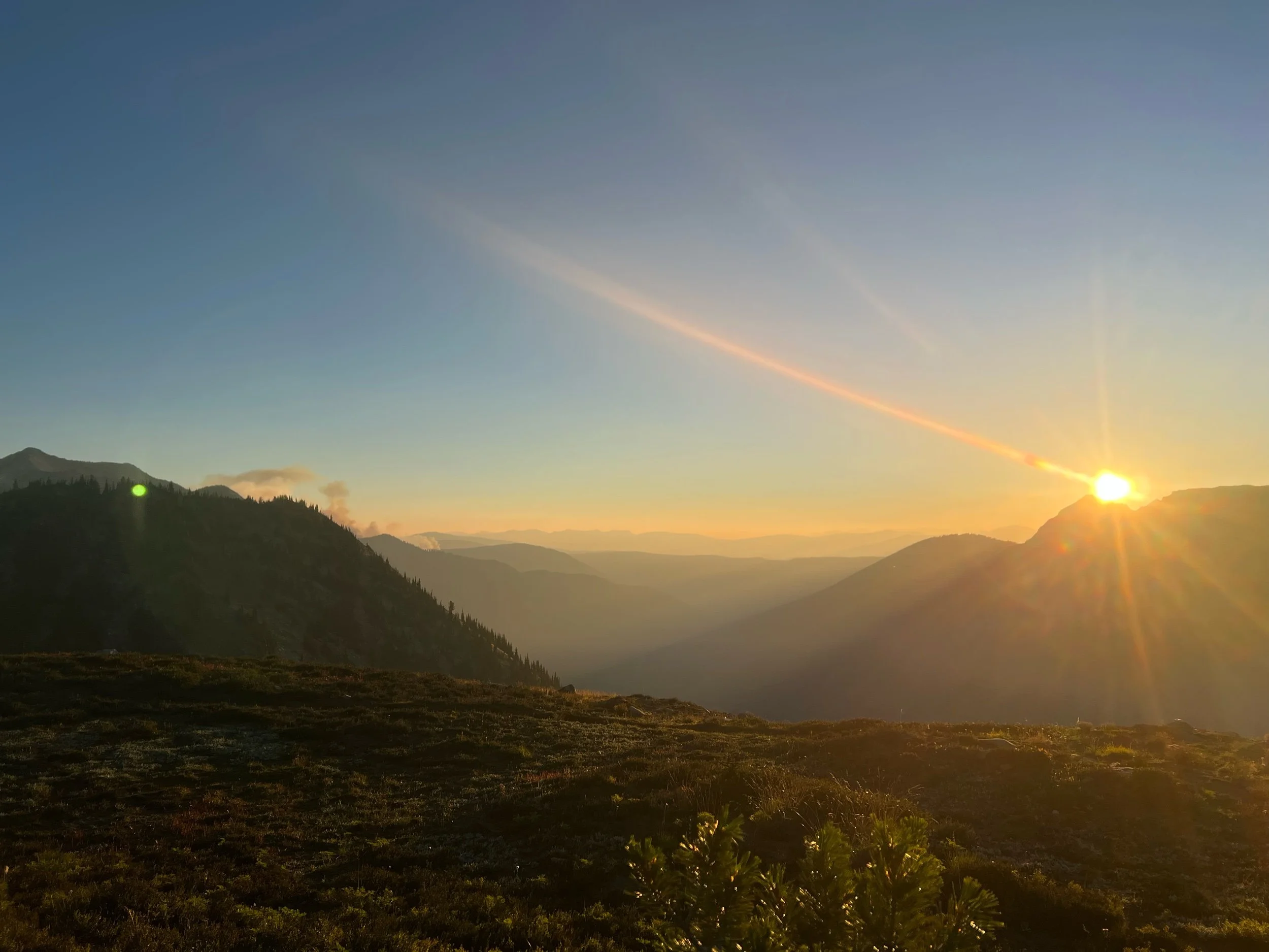
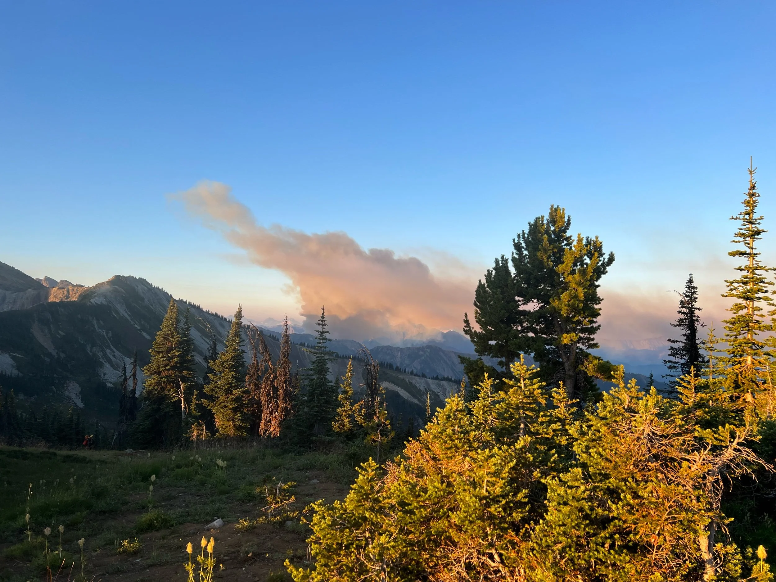
On August 29, we left for our final section of Washington, the most remote section of the trail. As we hiked, we saw more and more fires, with planes flying overhead dragging large parachutes of water that they’d pour over the fires. We ran into Forest Service rangers walking the trail, who told us the fires were contained and the winds were favorable, so the trail was still safe to hike. Despite the assurances, I started to feel that finishing Washington was in peril, as fires were popping up everywhere. I knew in my gut that it was just a matter of time the fires would close sections of Washington. Thus, in addition to our flight on September 4, we had a new sense of urgency: finish Washington before a new fire stops us short.
Once reaching the Northern Terminus, hikers can no longer walk into Canada. Prior to Covid, you could, after filling out some paperwork in advance. Although there’s no guard station or border wall, it’s now illegal to walk into Canada. Consequently, after reaching the terminus hikers now need to back track 30 miles to the nearest US road, at Harts Pass. Calling this a road would be an overstatement, as only high clearance vehicles can take the pot holes. One side of the road is a sheer cliff drop and the other side is mountain that is prone to mudslides, one of which had closed the road for the prior two weeks, requiring hikers to walk an additional 10 miles. Thankfully, it was sufficiently cleared just a couple days before we got there.
Our goal was to reach the Northern Terminus on September 1, hike eight miles back that same day, so we’d be able return to Harts Pass on September 2. We needed to get to Mazama, WA that evening so we could spend September 3 getting to Seattle, about 5 hours away, if you have the luxury of having a car.
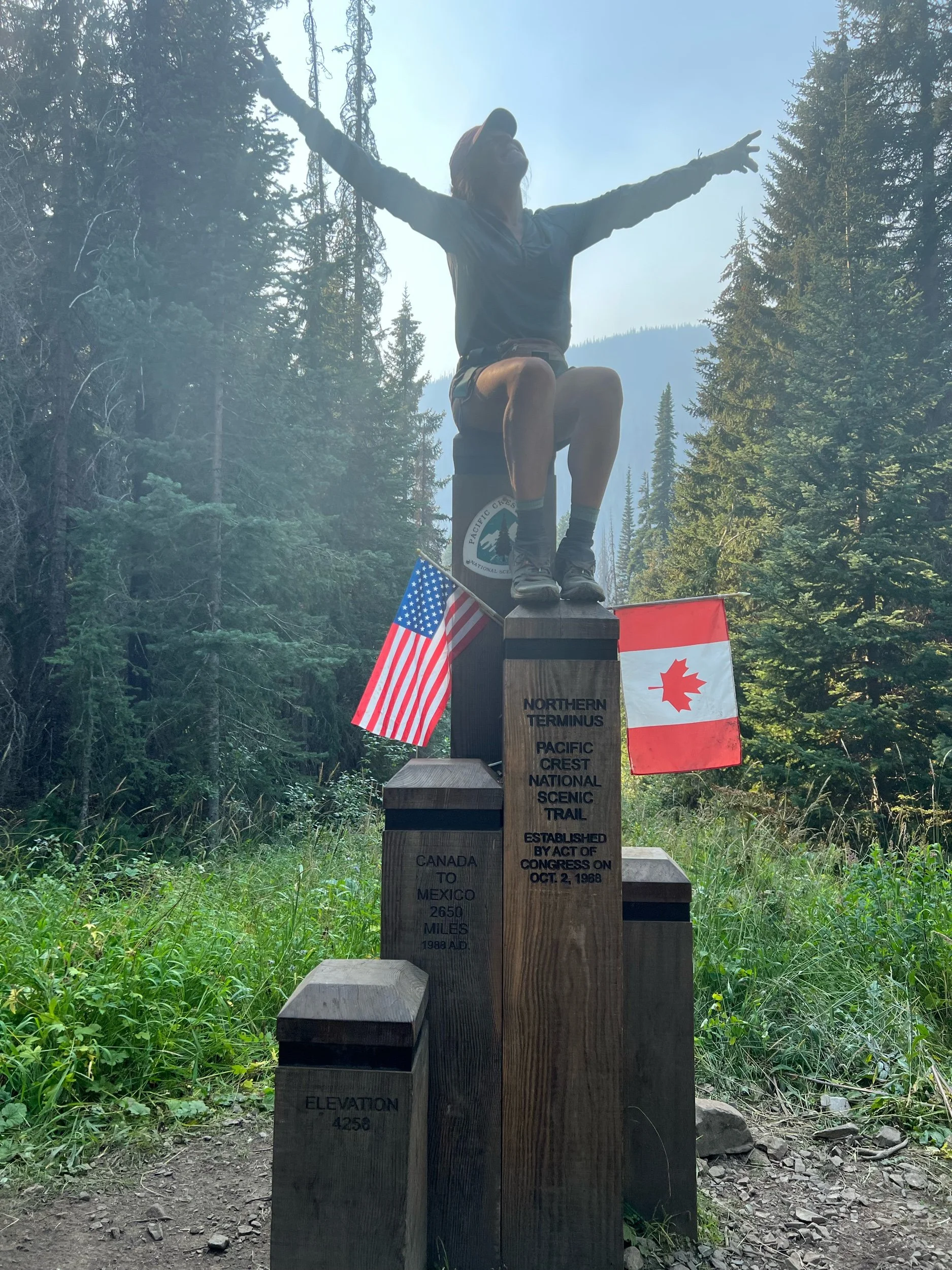
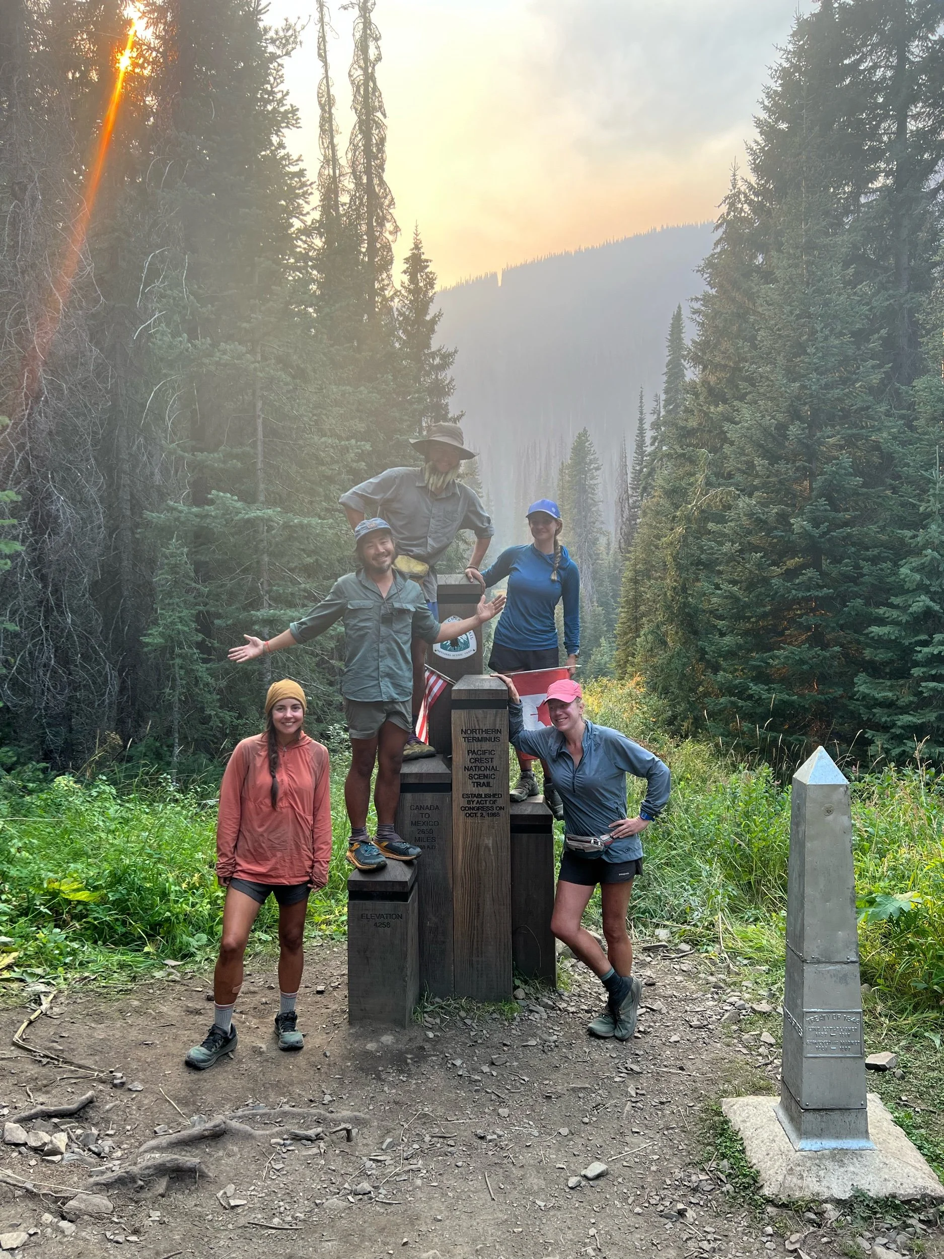
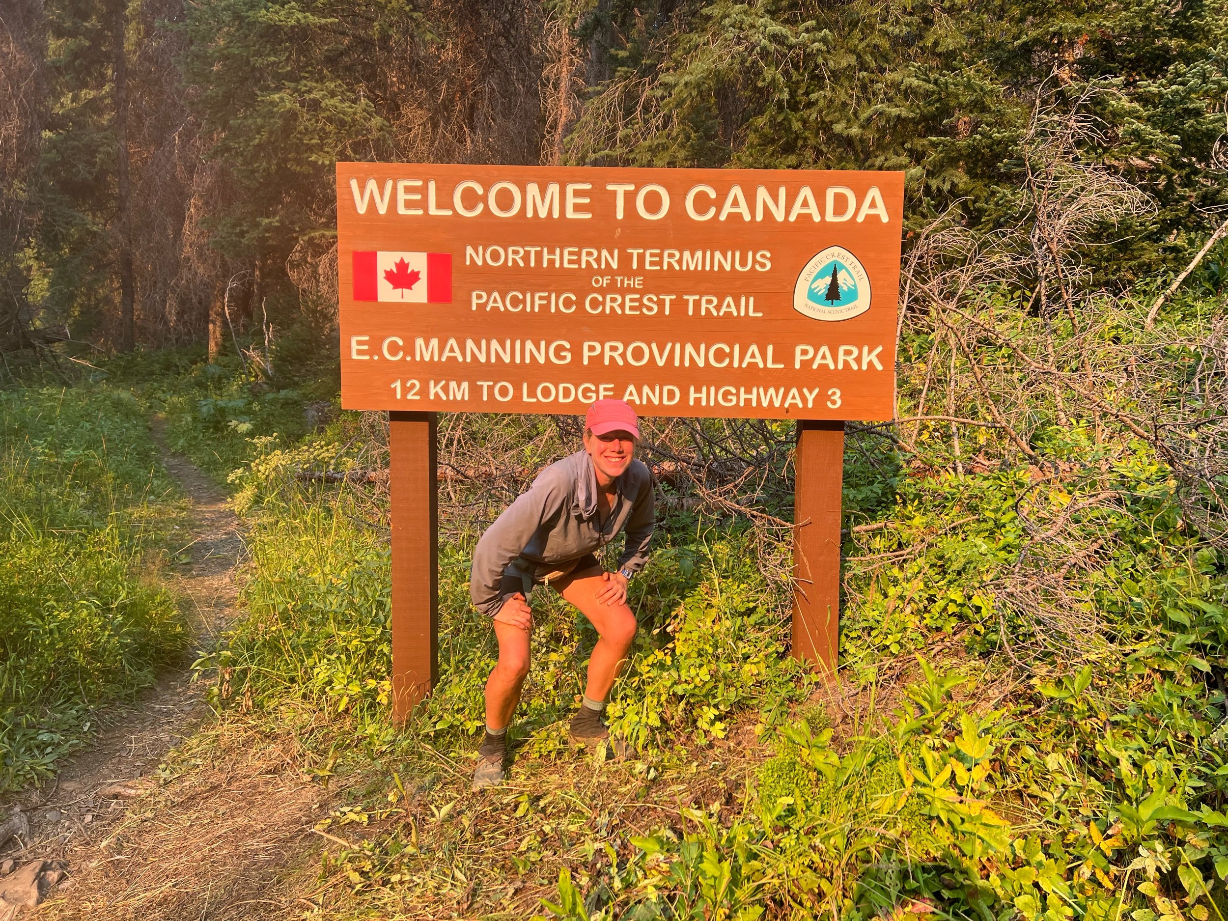
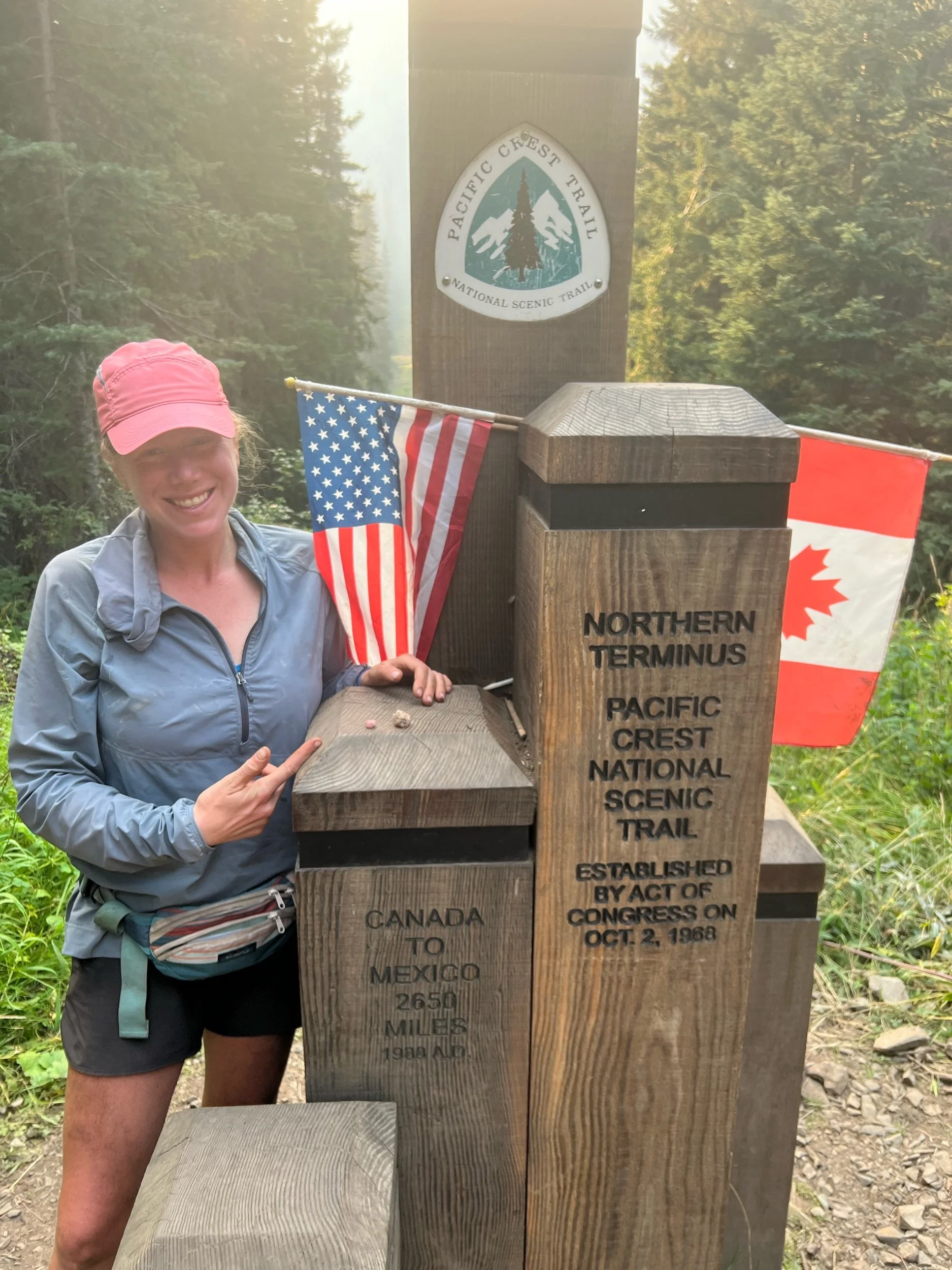
As we walked on August 31 and September 1, we saw multiple small fires on both sides of the trail. They looked to be a decent distance from us and relatively contained. But, we all had a sense that they might not stay that way. We needed move quickly. We reached the monument, and it was a strange feeling. It felt like a big accomplishment, but it didn’t feel like the moment I had envisioned when I started the trail, given we still had nearly 600 miles to hike of NorCal and Oregon. But, I had hiked over 2,000 miles and we had finished Washington, maybe the most difficult section. Mexico was a long ways away and felt like a lifetime ago. I had walked most of the 2,650 miles to get there, with a lot of help from family and friends near and far. The night before I left for the trail, a friend I’ve known since childhood, Sarah Zivic, gave me two quartz rocks from Litchfield, my hometown, to take with me. I promised I’d carry them to Canada. Those rocks traveled with me the entire way, as my hometown, or more specifically, the Ladies of Litchfield, childhood friends I’ve known for over three decades, have been with me the entire way.
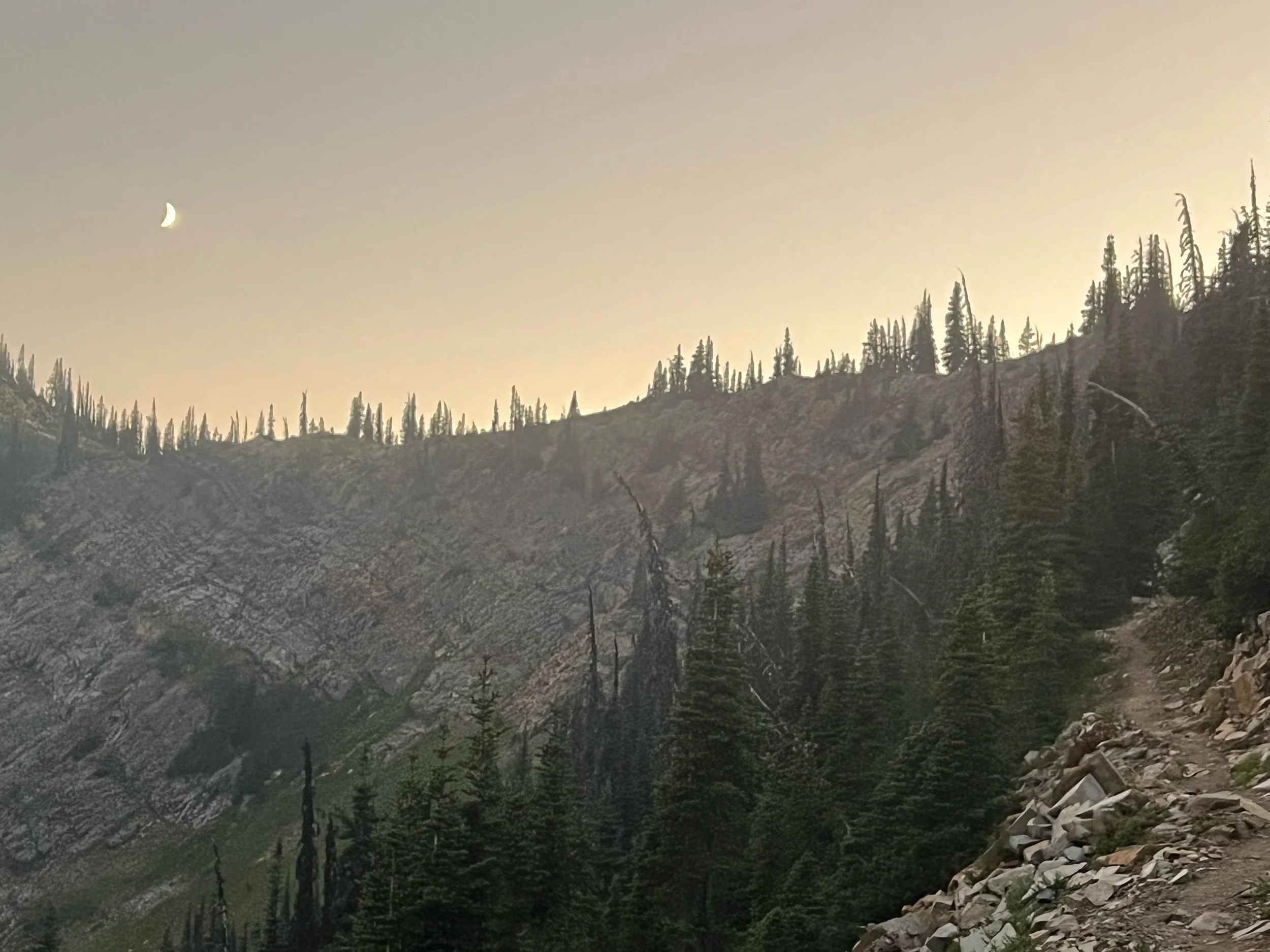
(The divot in the trees in the second photo is the border.)
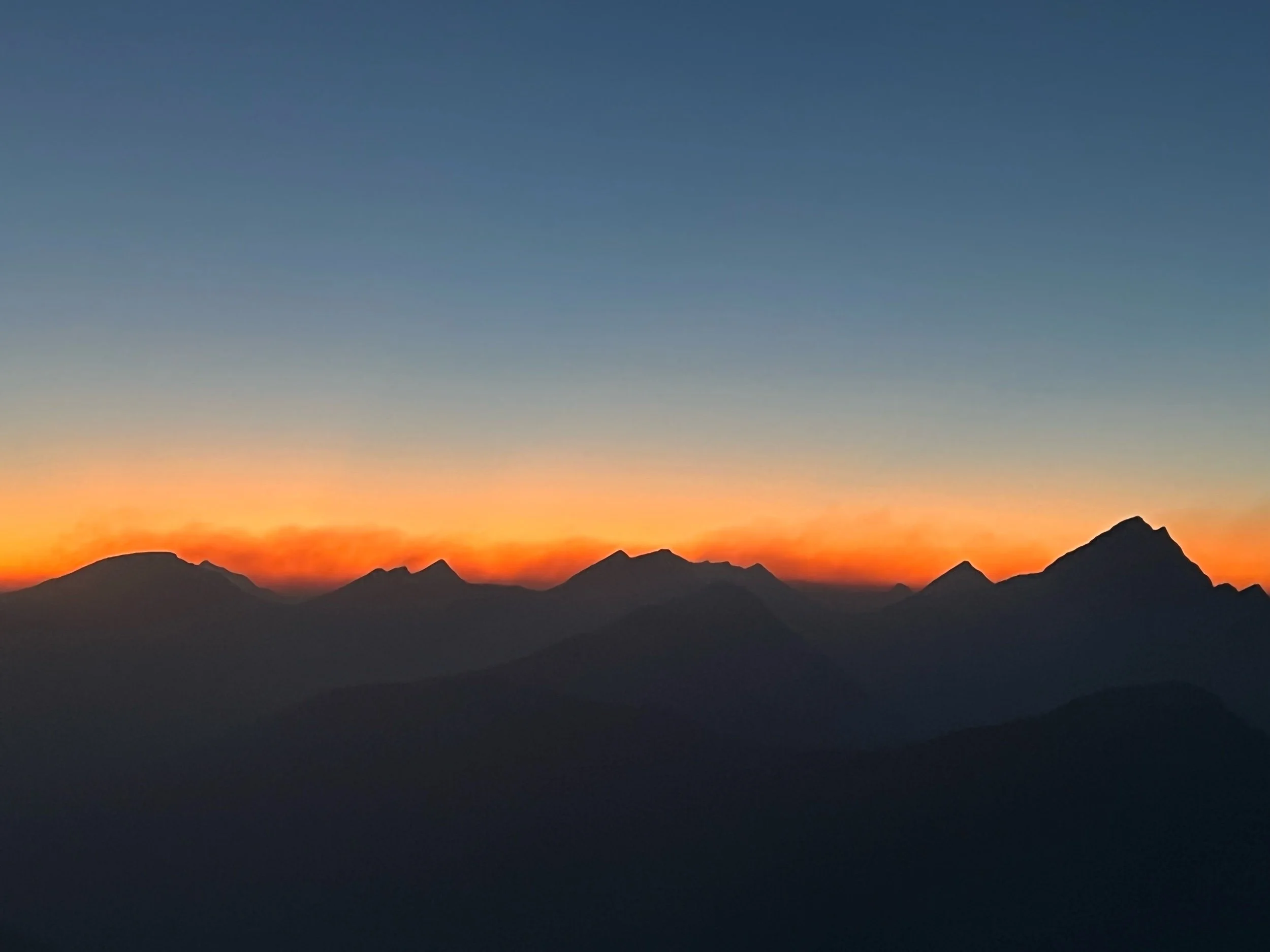
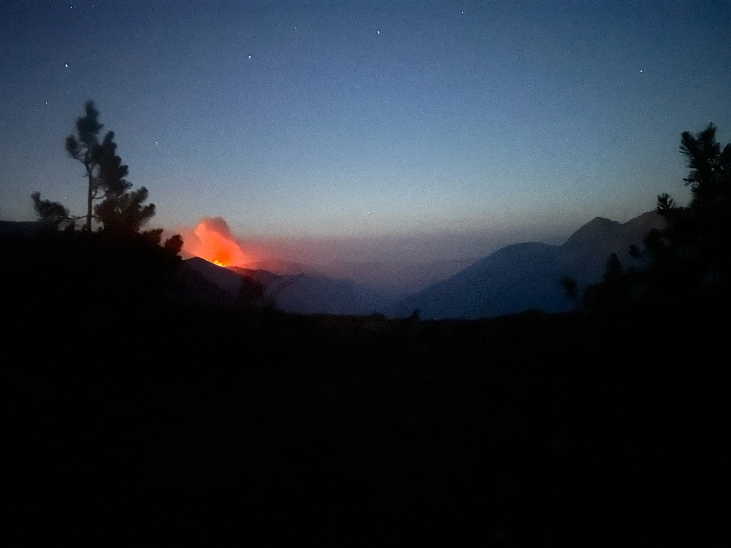
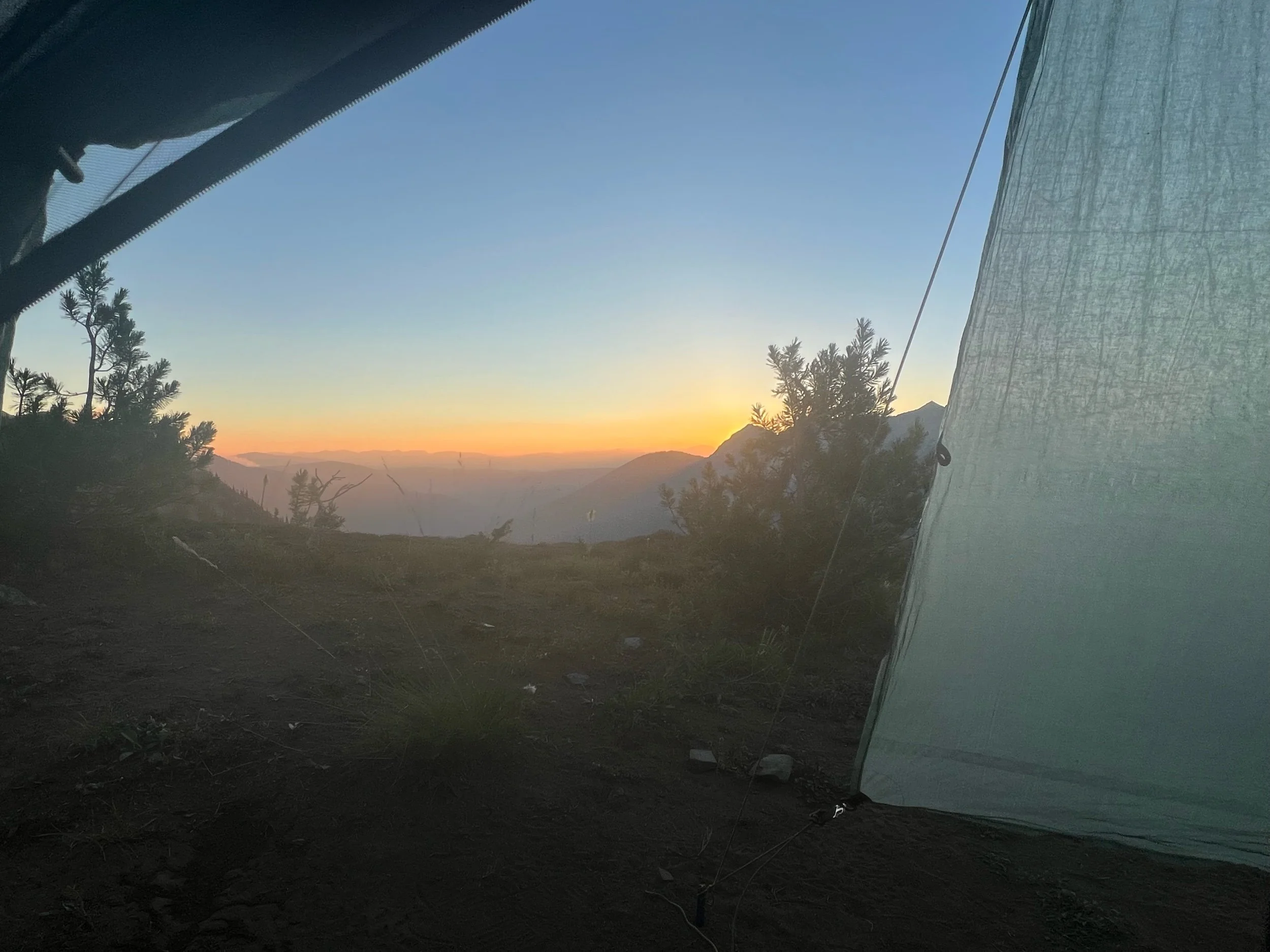
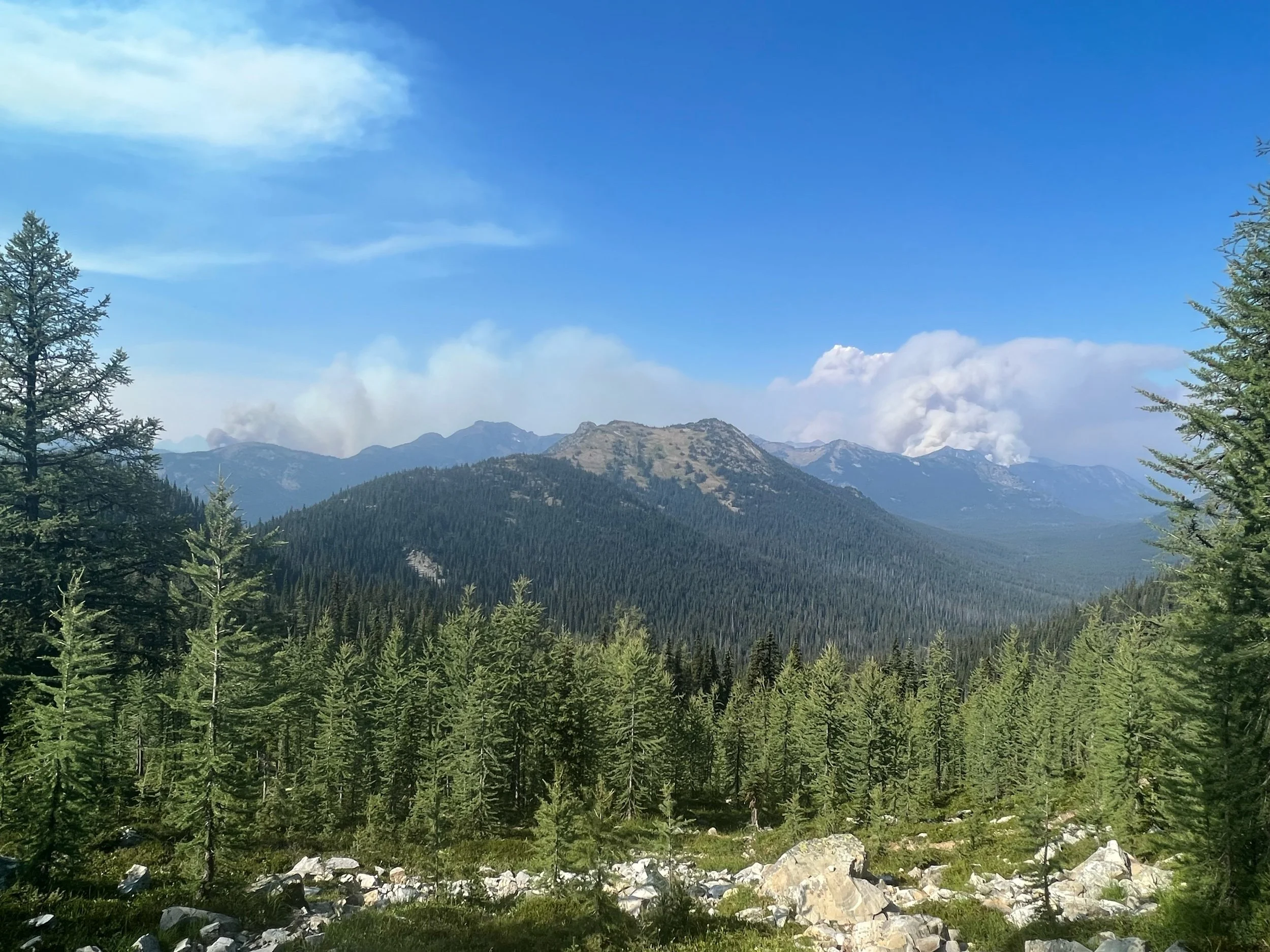
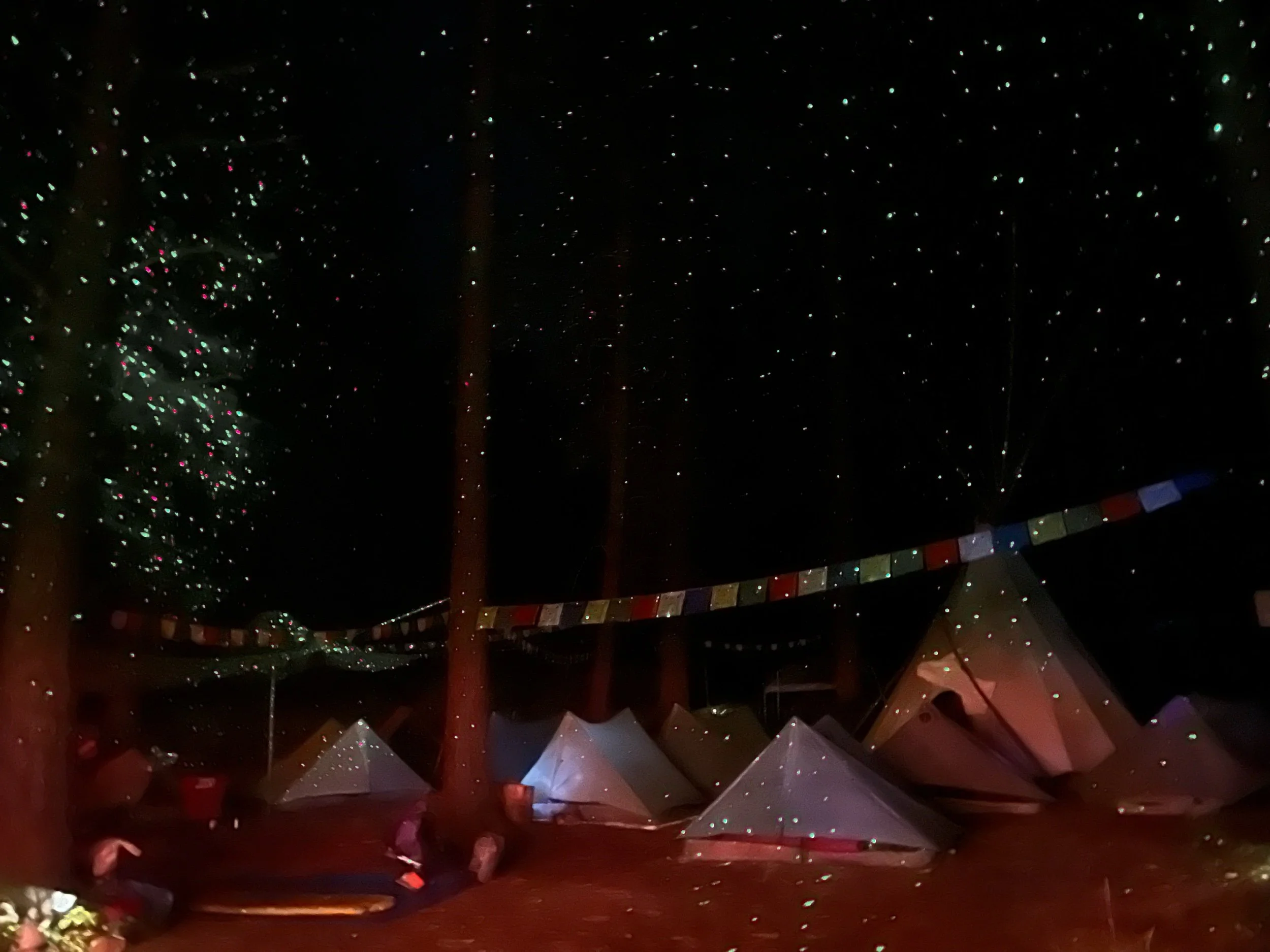
That evening, we hiked eight miles south to a campsite high on a ridge. It was nightfall, by the time we arrived. From the ridge we could see fires on both sides of the trail. The fire to the east looked particularly concerning because we could see flames taking over trees. Thankfully, it was at least a few miles and ridges away and the winds were calm and moving eastward. Another hiker near us did press his SOS button on his satellite device out of concern, and the Forest Service responded that whether we stayed or hiked further away at that point was our choice. Super helpful advice! I was so tired, having hiked 28 miles that day and as it was almost 9pm by the time I got to camp. Given the state of the fire at this point, I made the judgment call that I’d be more likely to hurt myself by hiking more that night. Star Camel said he was going to stay awake and watch the fire. If the fire worsened, he’d wake us up and we’d hike through the night. I was thankful it didn’t come to that, but I didn’t sleep much, as it’s not exactly restful having fires flanking the trail. The views below are from the last few miles of that day and from my tent, both that evening and the next morning.
As we hiked the 22 miles south back to Harts Pass on September 2, we were running into dozens of hikers walking north. Everyone was congratulating each other. About 7-8 miles from Harts Pass, we got a new look at the same fire we had seen from our campsite. The winds had picked up and the fire had ballooned. A couple of miles later, the trail was quiet. There were no more northbound hikers. I knew they had closed the trail.
When we reached Harts Pass, around 5pm, there were a number of hikers, many of whom were in tears because they just missed reaching the monument. There were Forest Service personnel instructing hikers that the trail was closed and there was no passable route to Canada. We didn’t celebrate, but we felt lucky. I understood how the other hikers felt, given my experience with fires in Northern California. Reaching the monument took on an entirely new meaning, as we had pushed to make it there, and had done so safely. So many things on this trail are out of your control. Fires have come to define the trail. Simply because you have the mental and physical strength to hike the trail doesn’t mean you will be able to complete it. While time will tell if I will be able to hike every mile of the PCT, I realized in this moment how special it was that I was able to get this far.
We made it to Mazama that evening, thanks to Lion, a trail angel who had hiked the PCT and now opens her home and backyard to hikers. No payment required. Only donations are accepted. She even constructed a replica monument, so disappointed PCT hikers could try to replicate their finish.
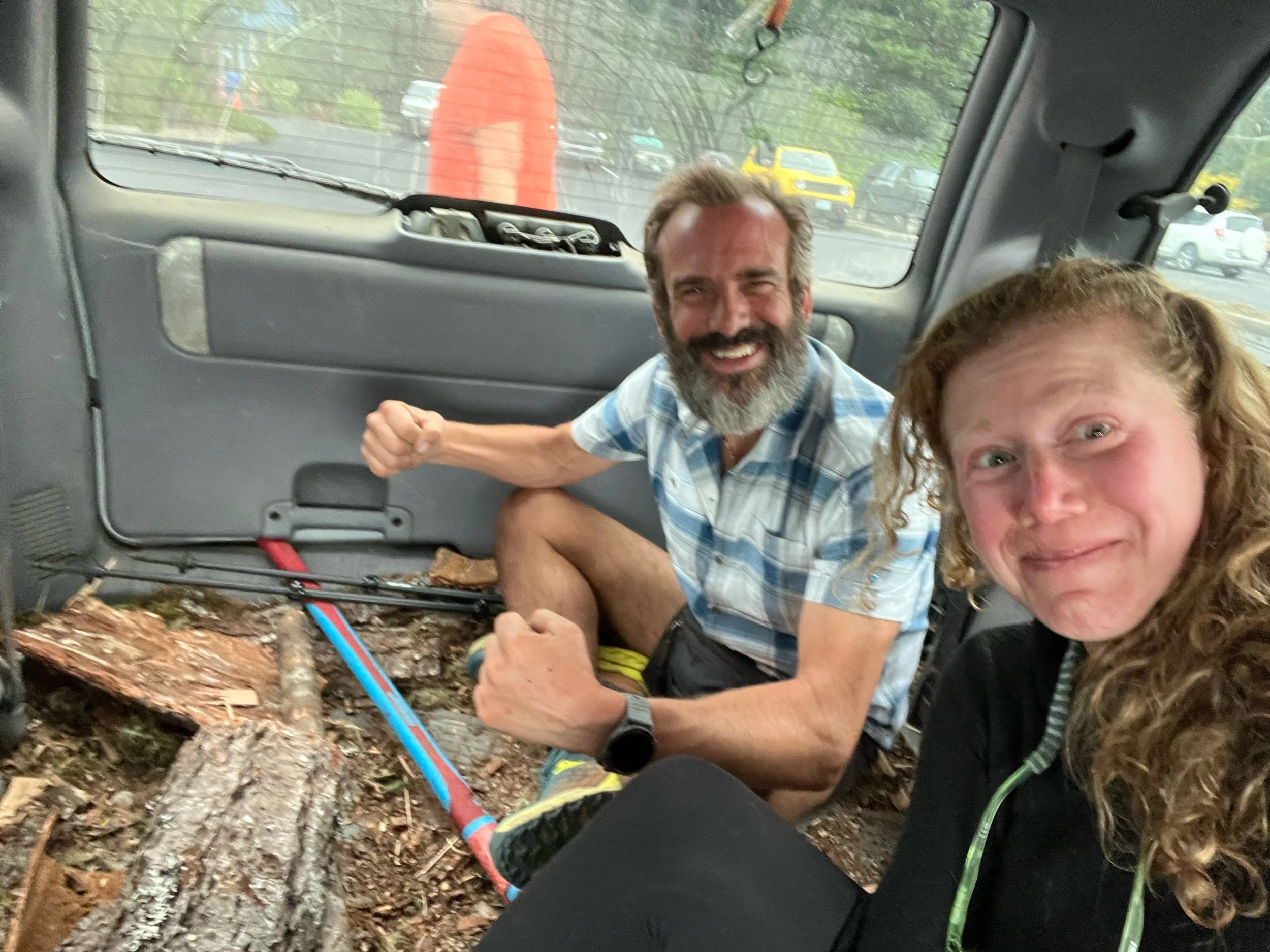
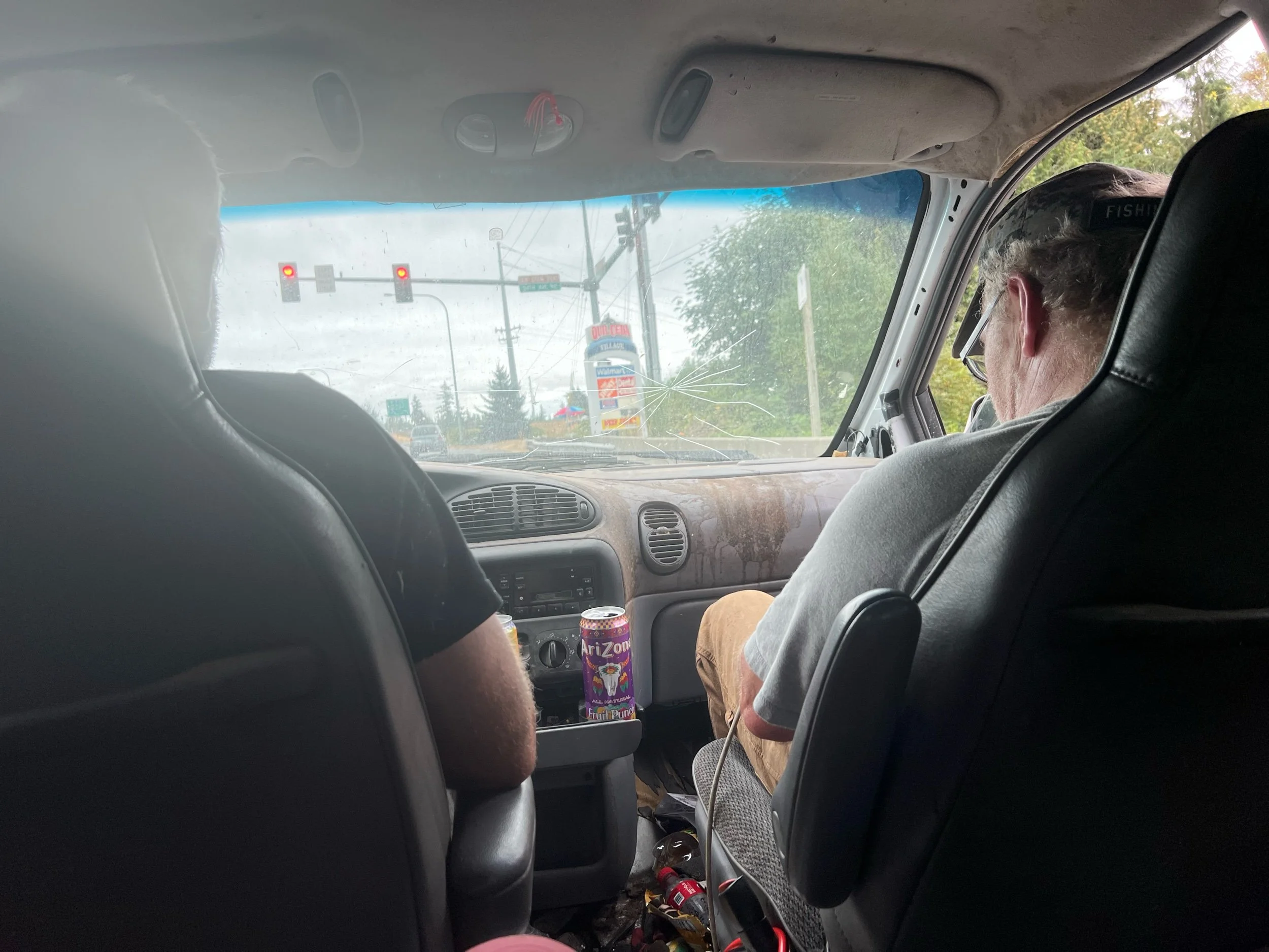
The next day, we had to make our way to Seattle. Given there is no public transit and we only have our two legs as transport, we would need to find rides. So, we stood on the corner of the road in Mazama with our thumbs out and signs alerting drivers that we needed a ride to Seattle. We made sure to have our trekking poles visible, as trekking poles are the only thing that sets puts us on the other side of the fine line that separates hikers from homeless. Caveman and I decided to stick together for the journey ahead, as you can’t hitchhike in a big group, but I wouldn’t do it alone. It’s easier for women to get rides, but as a woman, I feel safer having a guy with me. It took us three hitches to get to Seattle, but we made it. The first ride was a family of four, on their way to a weekend camping trip. The parents had met as Outward Bound instructors and had the coolest kids. The second ride was a social worker on his way to visit his girlfriend, but just so happened to take the scenic route, rather than the interstate. The third ride was, well, somewhat indescribable. These two men pulled over in a beat-up minivan for Caveman. He flagged me over. As I got closer to the car, there were no backseats. Rather, the back was filled with wood chips, tree branches, and a massive axe. The rest of the car was filthy. (Sorry, Mom and Dad - you can skip this part.) Sitting in the back, we did have the axe, so I felt like we had the upper hand if something went wrong. But, the two men turned out to be very kind. We learned that one of them was going to the nearby jail to pick up his son and it also happened to be the man’s birthday. I never learned what his son had done, but the sense of disappointment and sadness in the man’s voice was palpable. They ended up taking us all the way to the airport, about 20-30 minutes past the jail. As Caveman remarked to me, whenever I think of my own life, no matter how bad it is, I will always be more fortunate than these men, as it didn’t seem that anything in their lives had ever gone right. Hopefully, I can always be as generous and kind.
We made our flight on September 4, back to Medford, OR. We then got a ride from a trail angel/AirBnB host, to Dunsmuir, CA. This is where we left off before the McKinney Fire upended our journey. It took a lot of mental strength and logistical maneuvering to get back here. I wasn’t sure if I wanted to keep hiking, as I have been in the woods since mid-April, my feet hate me, and post-trail life is tugging at me. But, a part of me knew I’d regret it if I didn’t try to make up the missed sections.
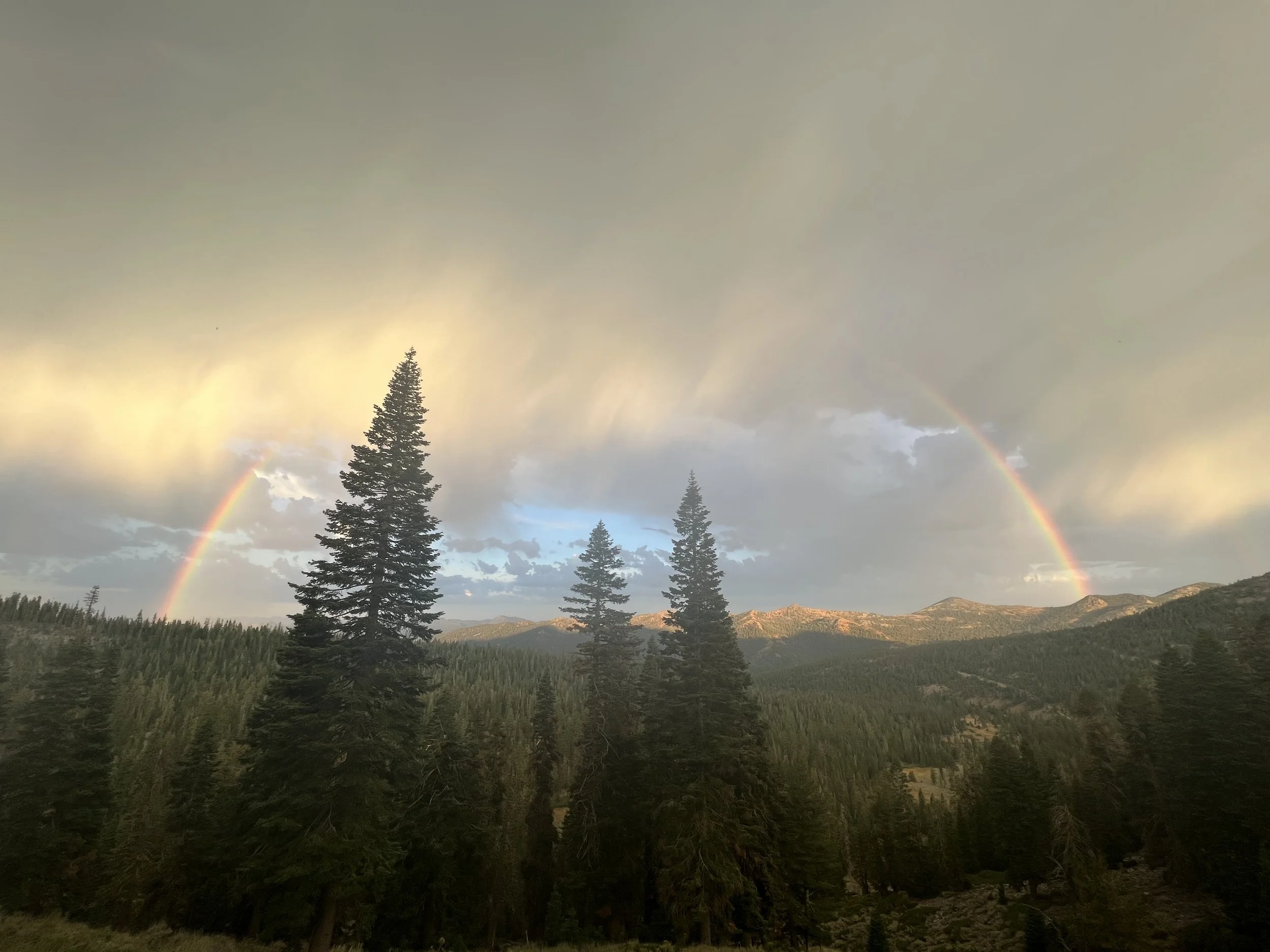
On September 5, we got back on trail at mile 1501. The trail was quiet. We didn’t see another northbound hiker for the 100-mile stretch, a stark difference from seeing other hikers all the time. Although it was a bit eery, there was a certain peacefulness to it. On our first full day of hiking back in NorCal, we were greeted with this rainbow, which brought a smile to my face and I took as a sign that it was the right decision to come back.
I’m currently at mile 1600, about 90 PCT miles south of the Oregon border. There are many fires currently burning in northern California and Oregon, but we will take each section as it comes, making sure to hike safely and with awareness of the surrounding fires. The hope is to make it back to Timberline Lodge in northern Oregon. If our hike is upended again by fires, I have made peace with it, as I’m really proud how far I’ve come and what it’s taken to make it this far. ❤️
p.s. As always, apologies for any typos and the length. My time is short, and finding time to edit doesn’t come easy!

