Take My Breath Away
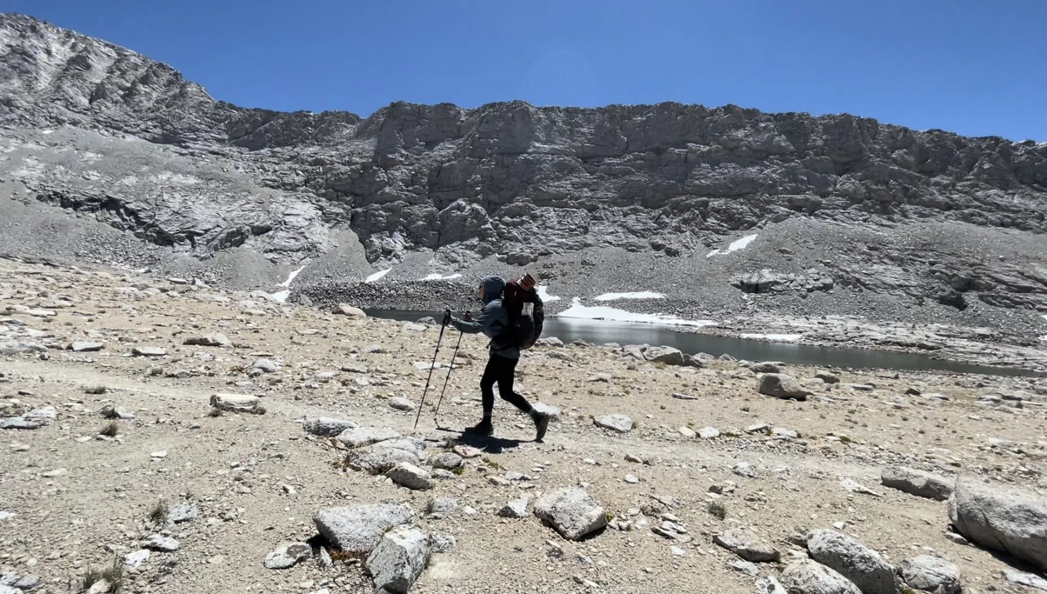
I don’t know if I’ll revert to naming all of my posts after songs, but the title of this song epitomized my first week in the high Sierra, literally and figuratively. As we headed out of Kennedy Meadows on June 9, our excitement was palpable. We were ready. Plus, I had a brand new shirt for the Sierra, thanks to my dear friends, Abbey and Scott. Unfortunately, the weight of our packs tamped down our excitement after about five steps. Our packs were the heaviest they had been on trail, weighed down by the bear canister (41 ounces), micro spikes (12 ounces), extra layers (no idea), and 6.5 days of food (a ridiculous number of pounds—for example, tortillas, a trail staple, weigh 10-12 ounces, to give you a sense). Despite our eagerness to reach the postcard-perfect mountains, we were slowed down by the extra weight, the heat, and the seemingly never-ending climbs, taking to us to a consistent elevation of above 10,000 feet.
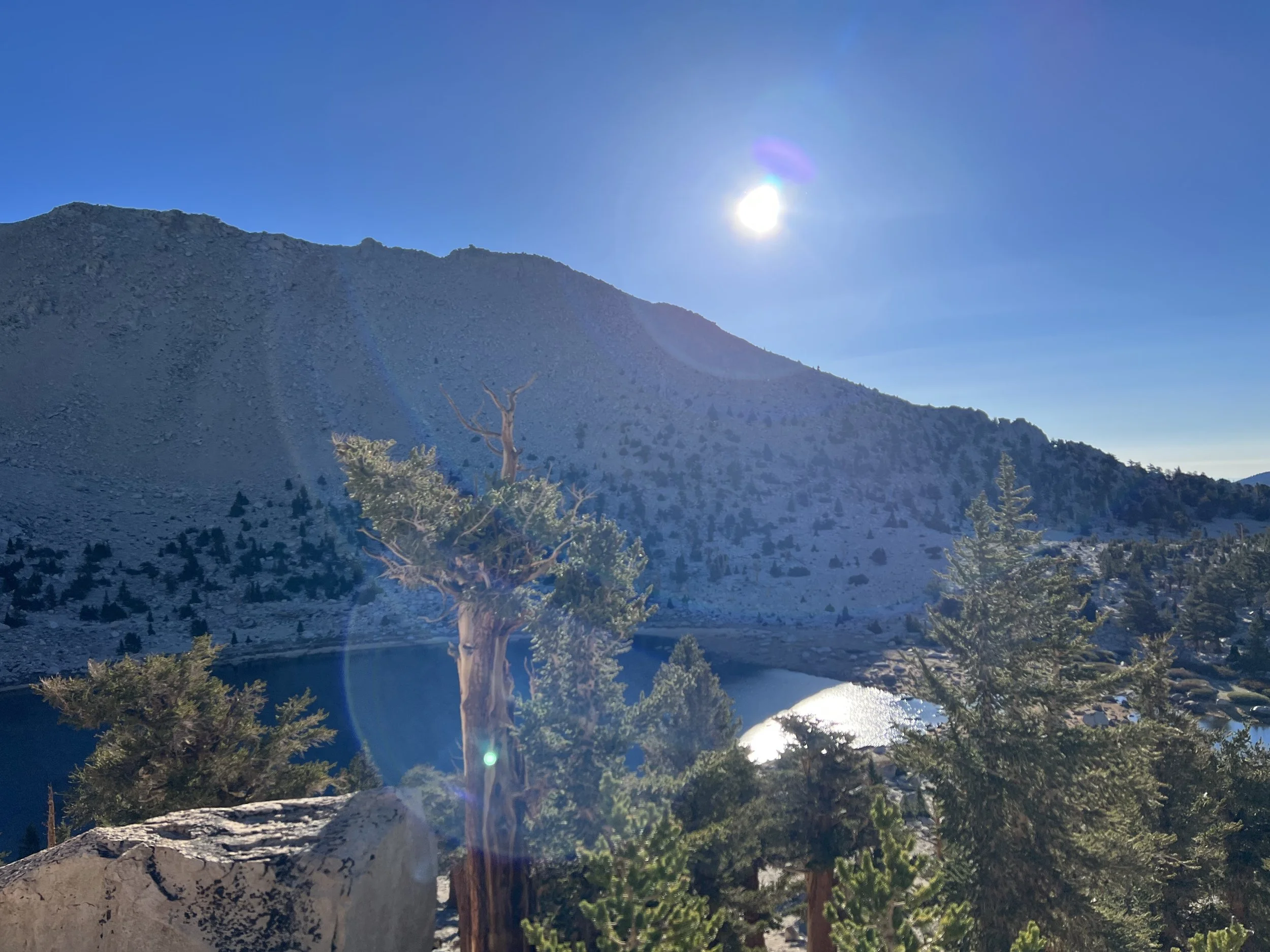
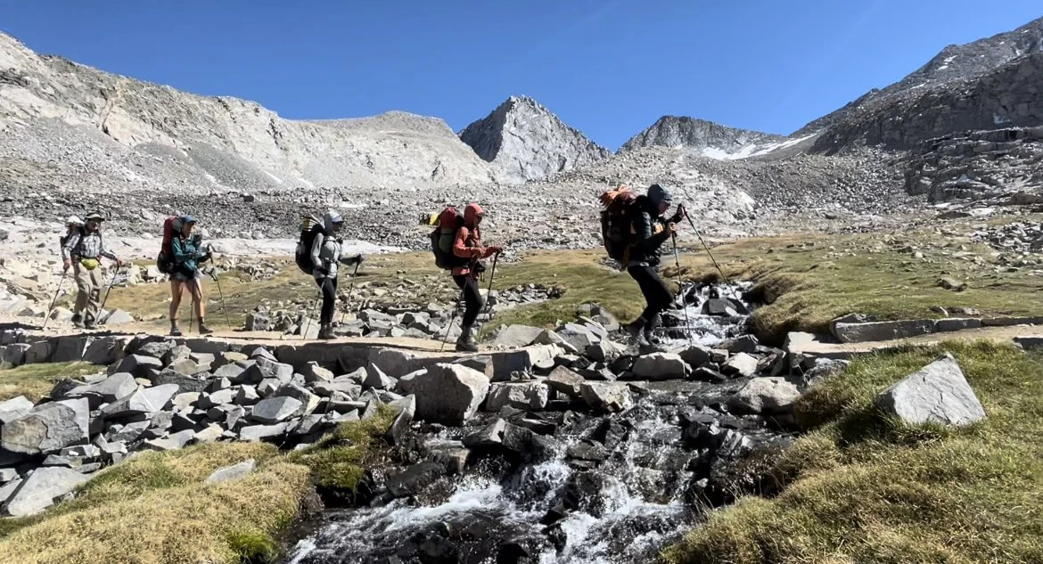
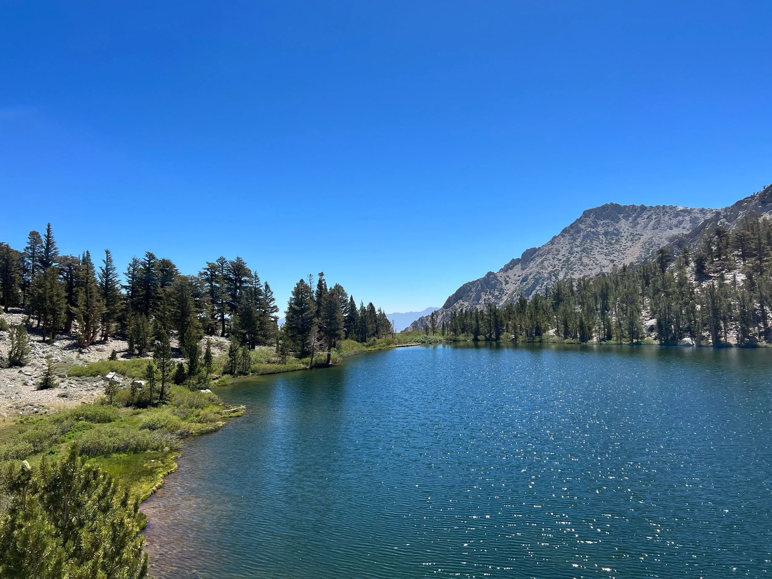
It took us a day or two to make us feel that we were out of the desert. It’s not a fine line that divides the lower Sierra mountains that begin in the desert and the famous high Sierra. So we walked, in agony, each step with the promise of the sheer granite slabs formed by lava and marked by glaciers that characterize what John Muir called the Range of Light. The packs were not the only reason we were out of breath. Hiking at altitudes above 10,000 feet literally takes your breath away. I suddenly felt that I was out of shape, despite likely being in the best shape of my life. As I climbed, it felt as if my lungs would not fill with sufficient oxygen. So I put my game of Hill Challenge on hold. It’s one thing to beat a hill. But I couldn’t take on both a (very big) hill and the altitude simultaneously. So I resigned to huffing and puffing my way up the climbs. But, eventually, on June 11, at mile 750.8, we reached our first alpine lake, Chicken Spring Lake, right outside of Sequoia National Park and at about 11,000 feet. I was too much of a chicken to jump in, but the cold water was a welcome respite for my aching feet and was too beautiful to leave. So, we camped there for the evening, even though we reached the lake around 4pm, much earlier than our normal stopping time.
Chicken Spring Lake
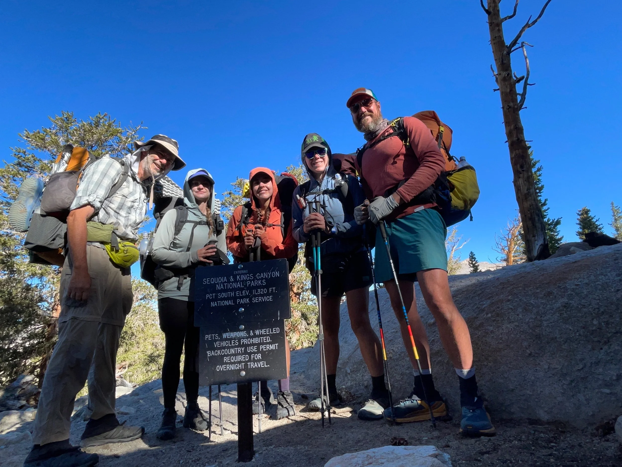
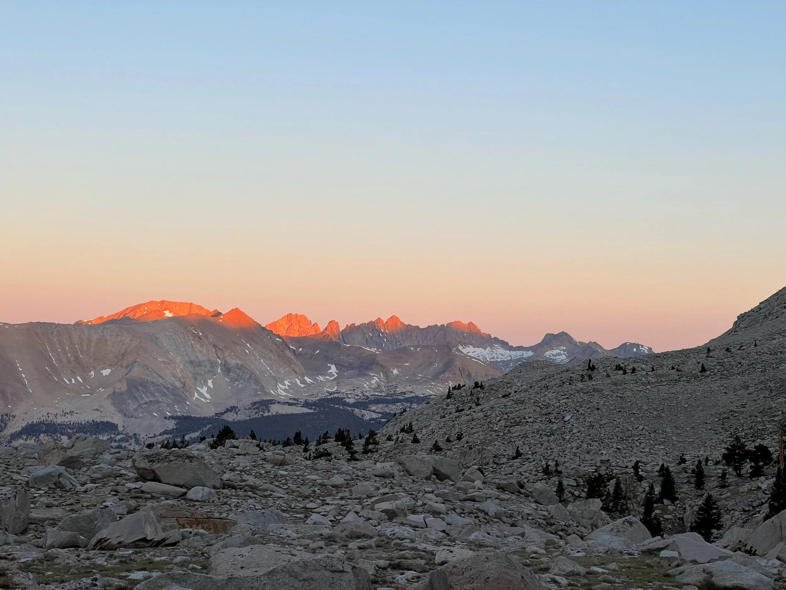
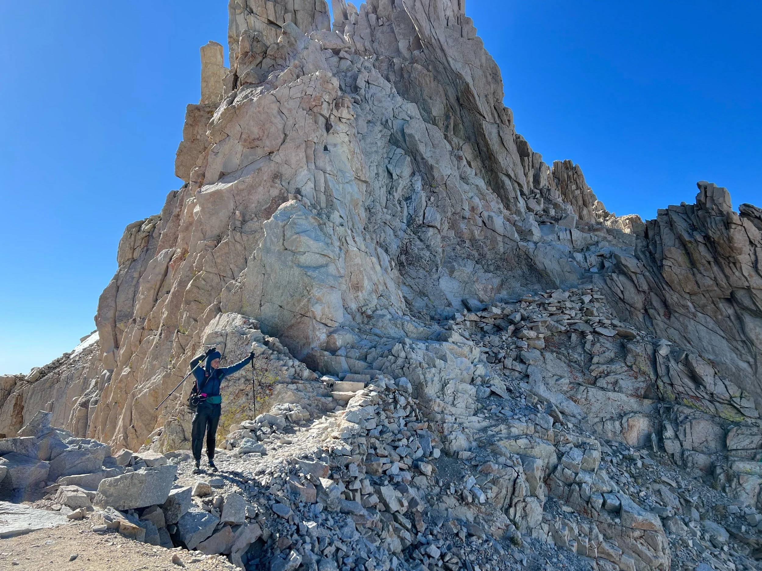
Things made a big turn on June 12. We needed to make it to Crabtree Ranger Station campsite that sits at about 1.2 miles from mile 766 of the PCT, our launching pad for our detour summit of Mount Whitney. (Mount Whitney is not on the PCT but many PCT hikers take the opportunity to attempt the summit, given its proximity to the PCT and the difficulty of getting a permit.) We entered Sequoia National Park and things started to get real. Mount Whitney came into view and the desert sandstone mountains gave way to granite. When I first saw Whitney, I couldn’t believe I was going to try to summit it the next day. It was imposing and beautiful, notable for the jagged teeth of granite that flank its side.
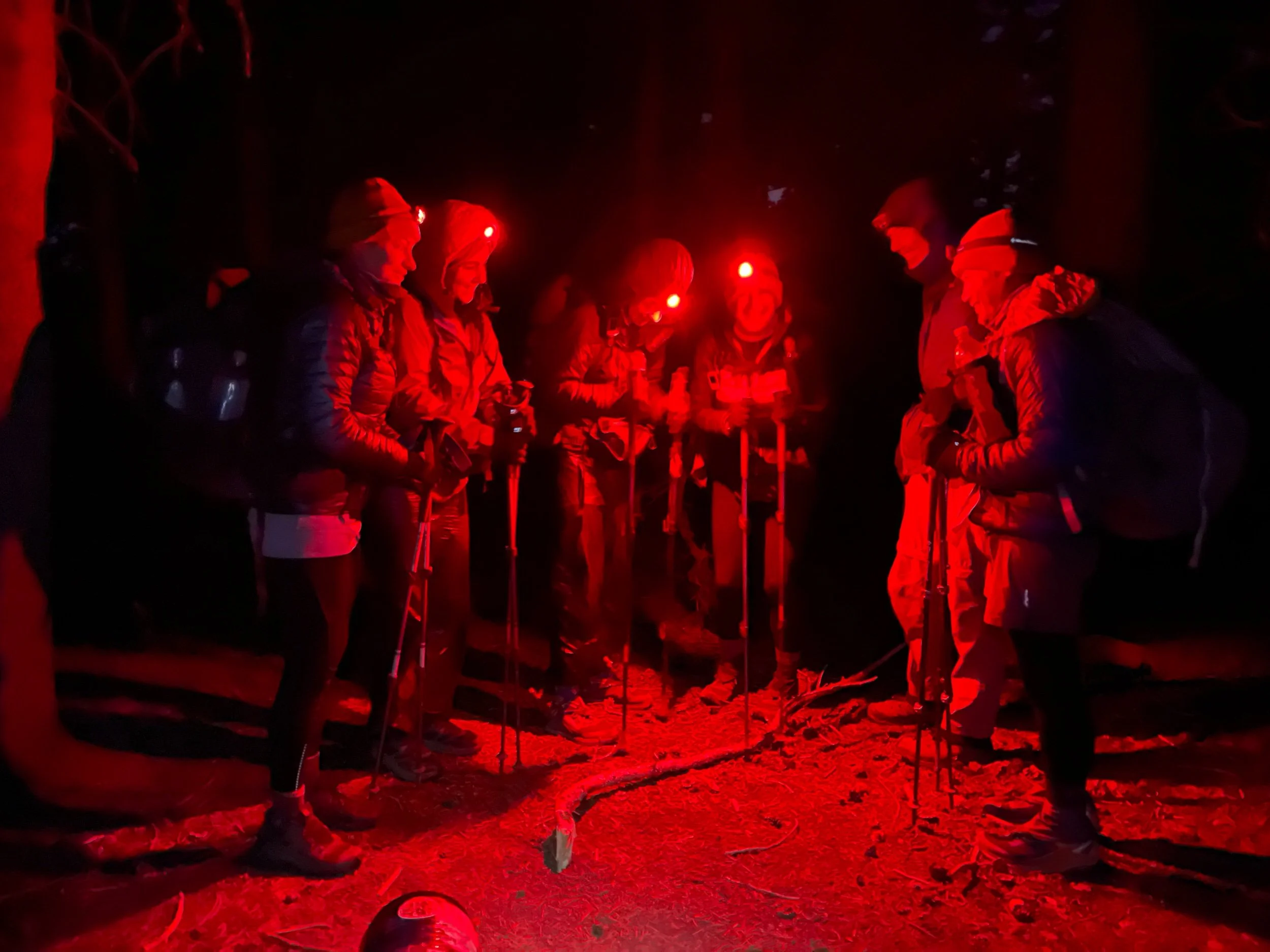
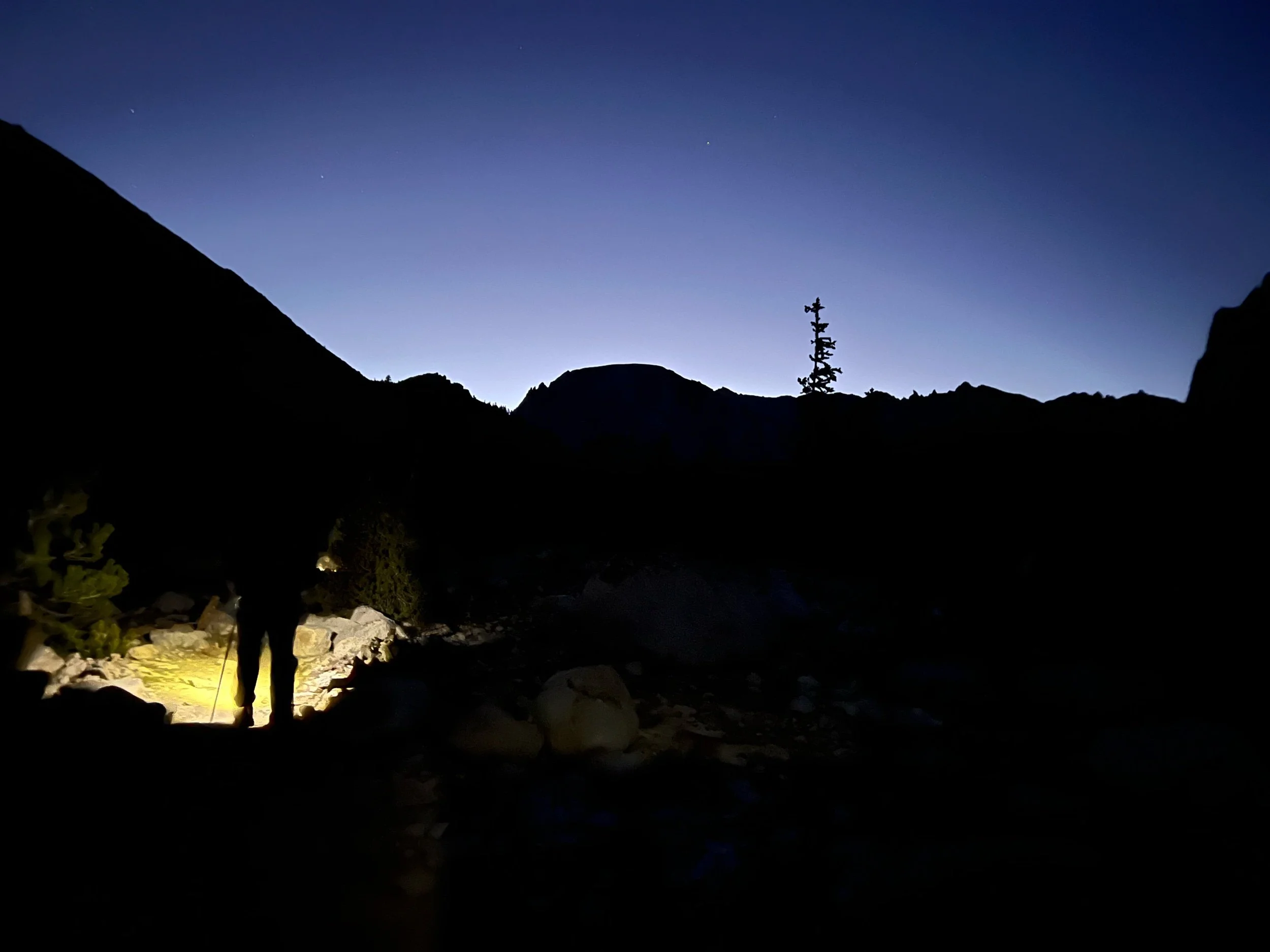
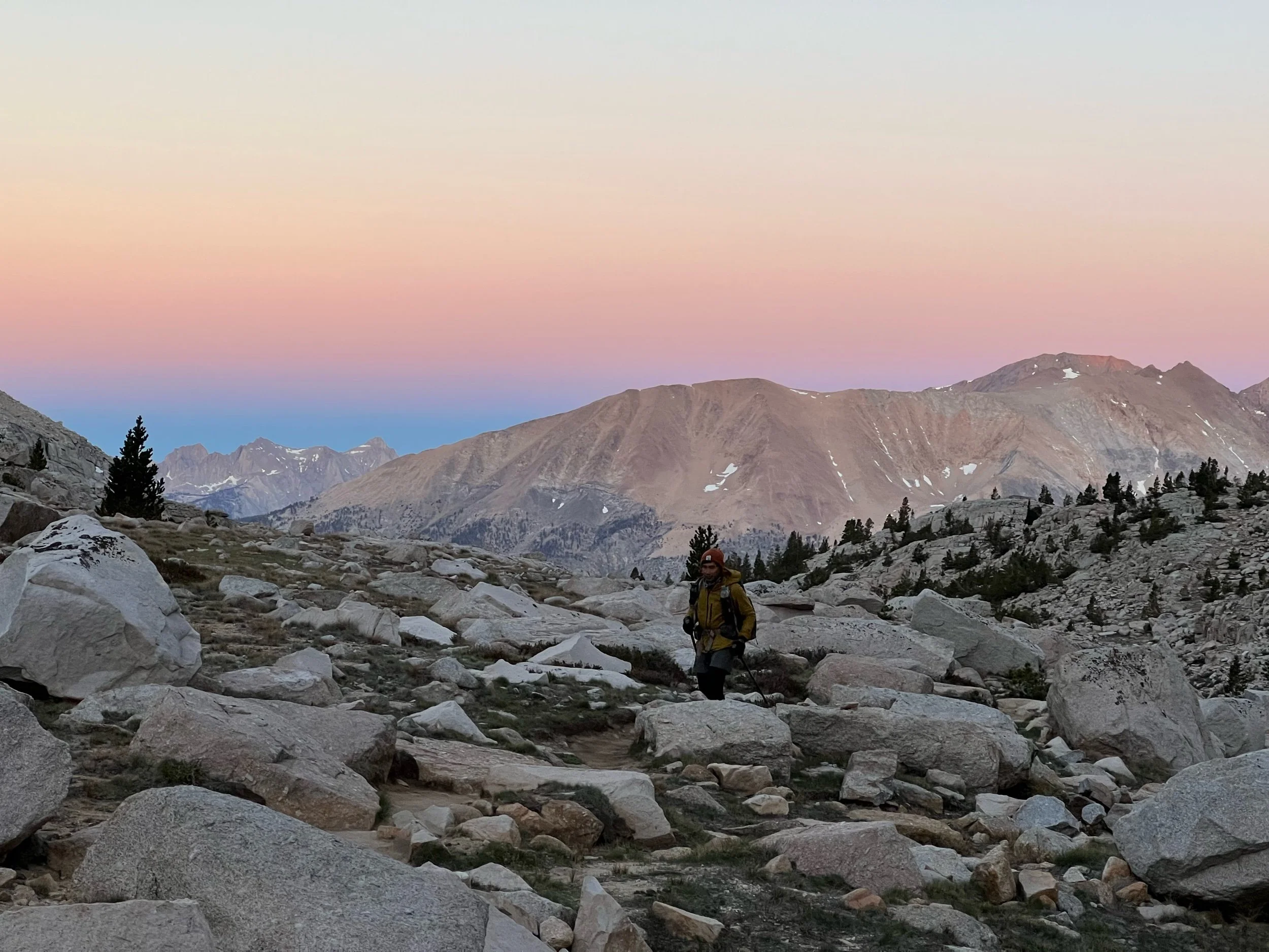
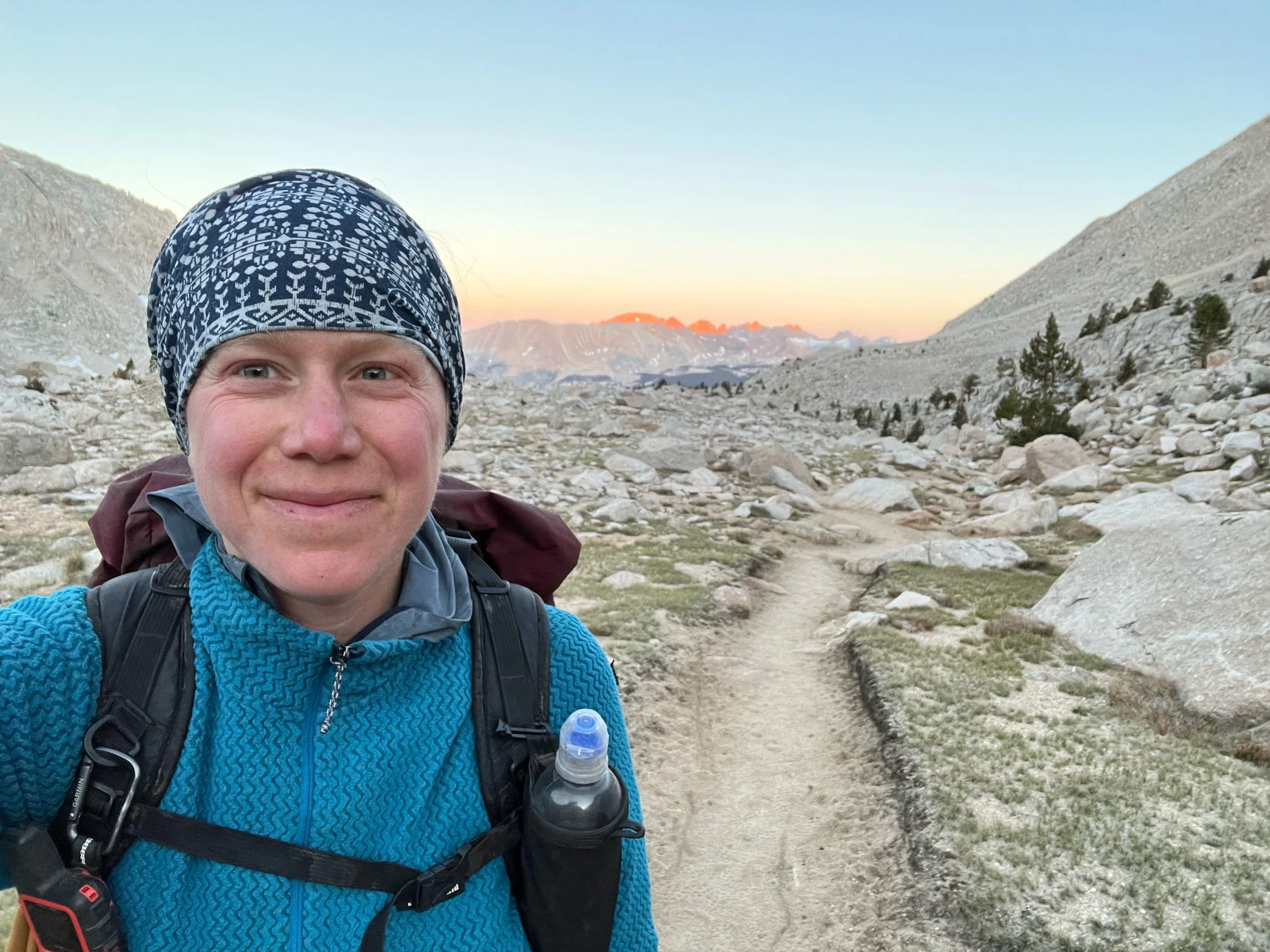
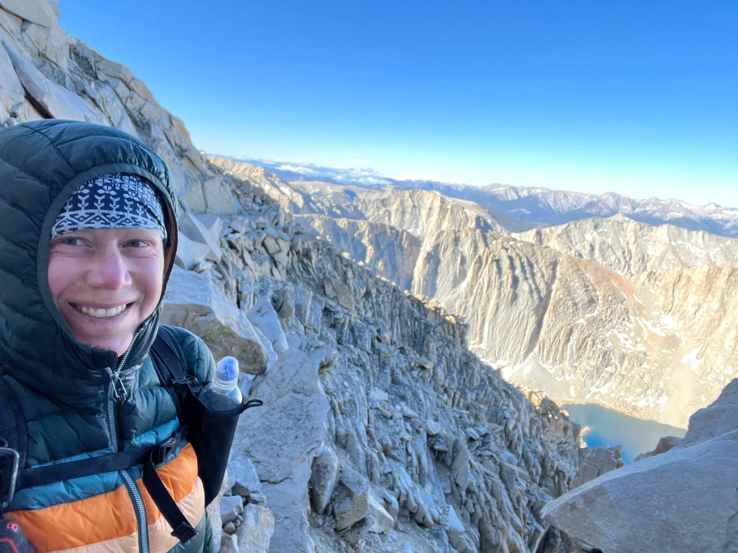
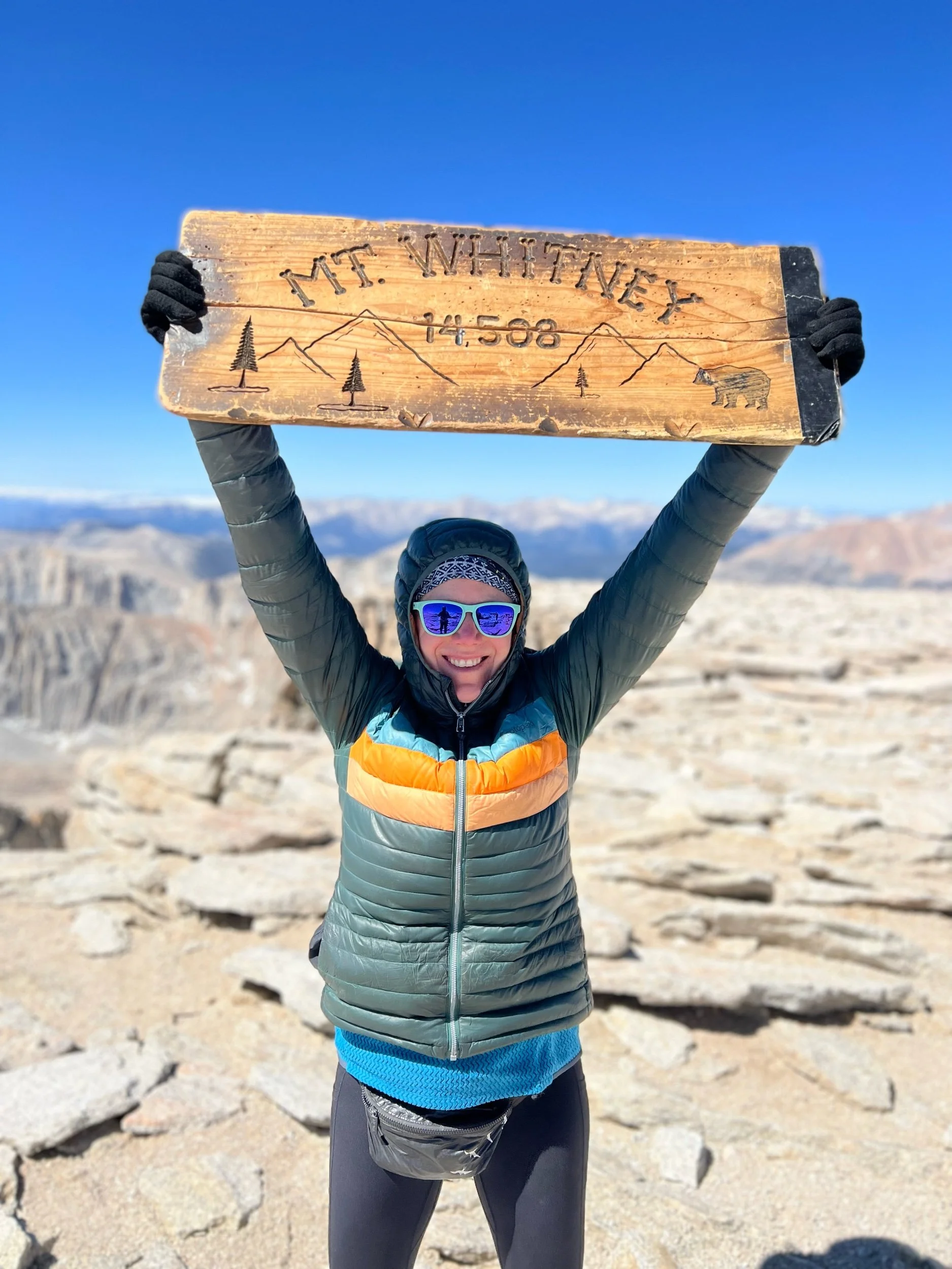
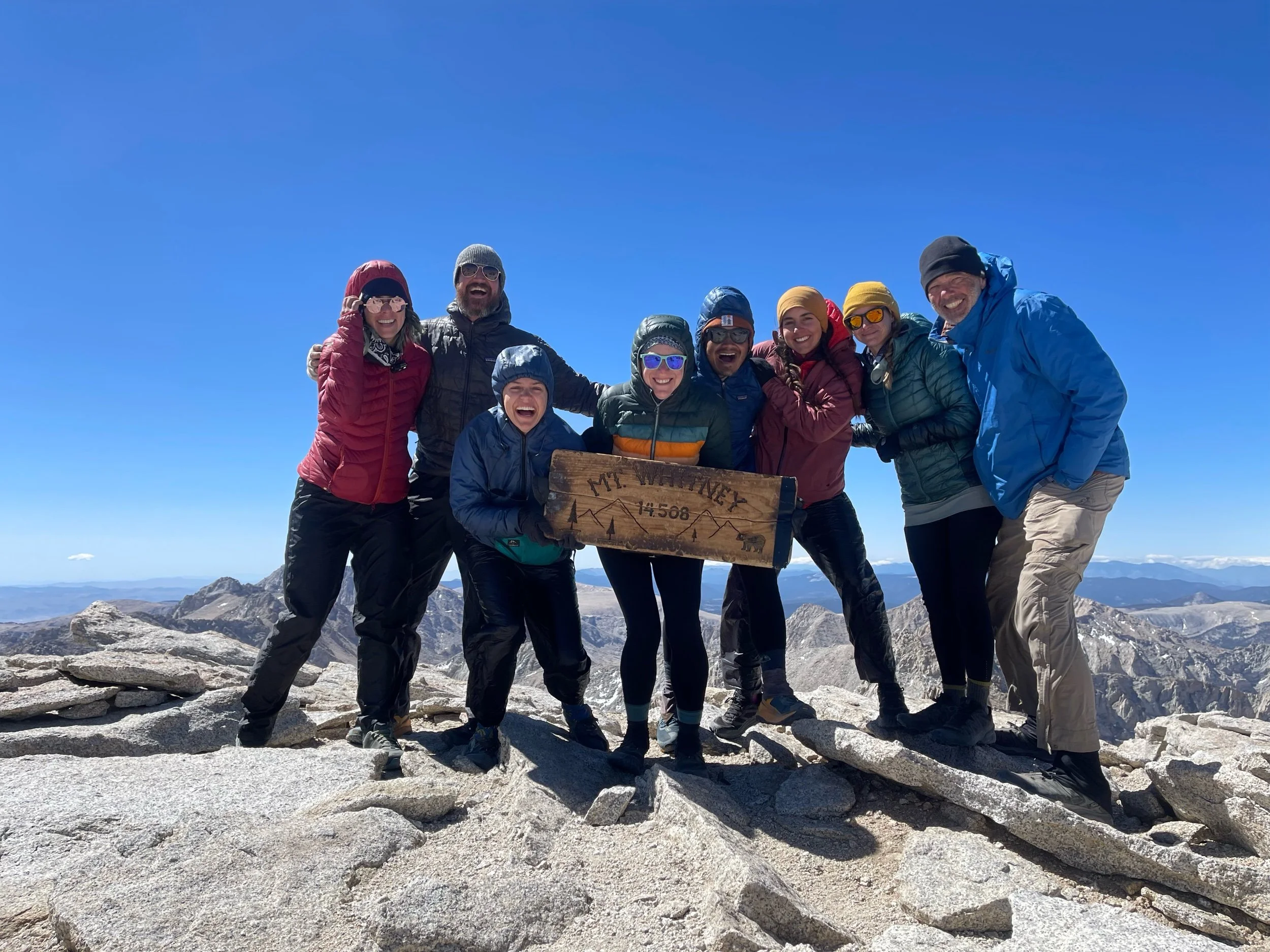
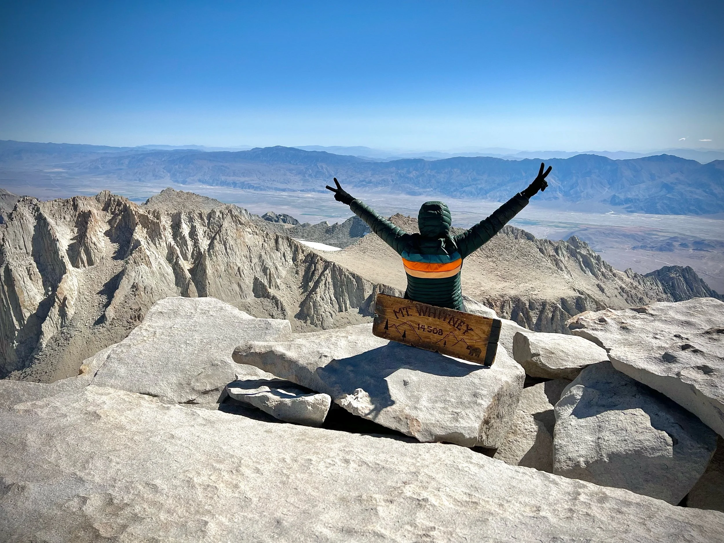
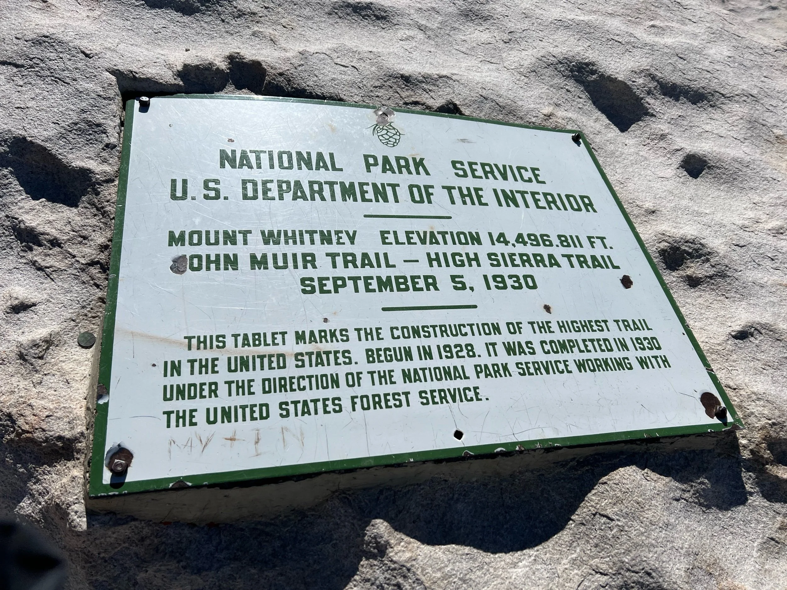
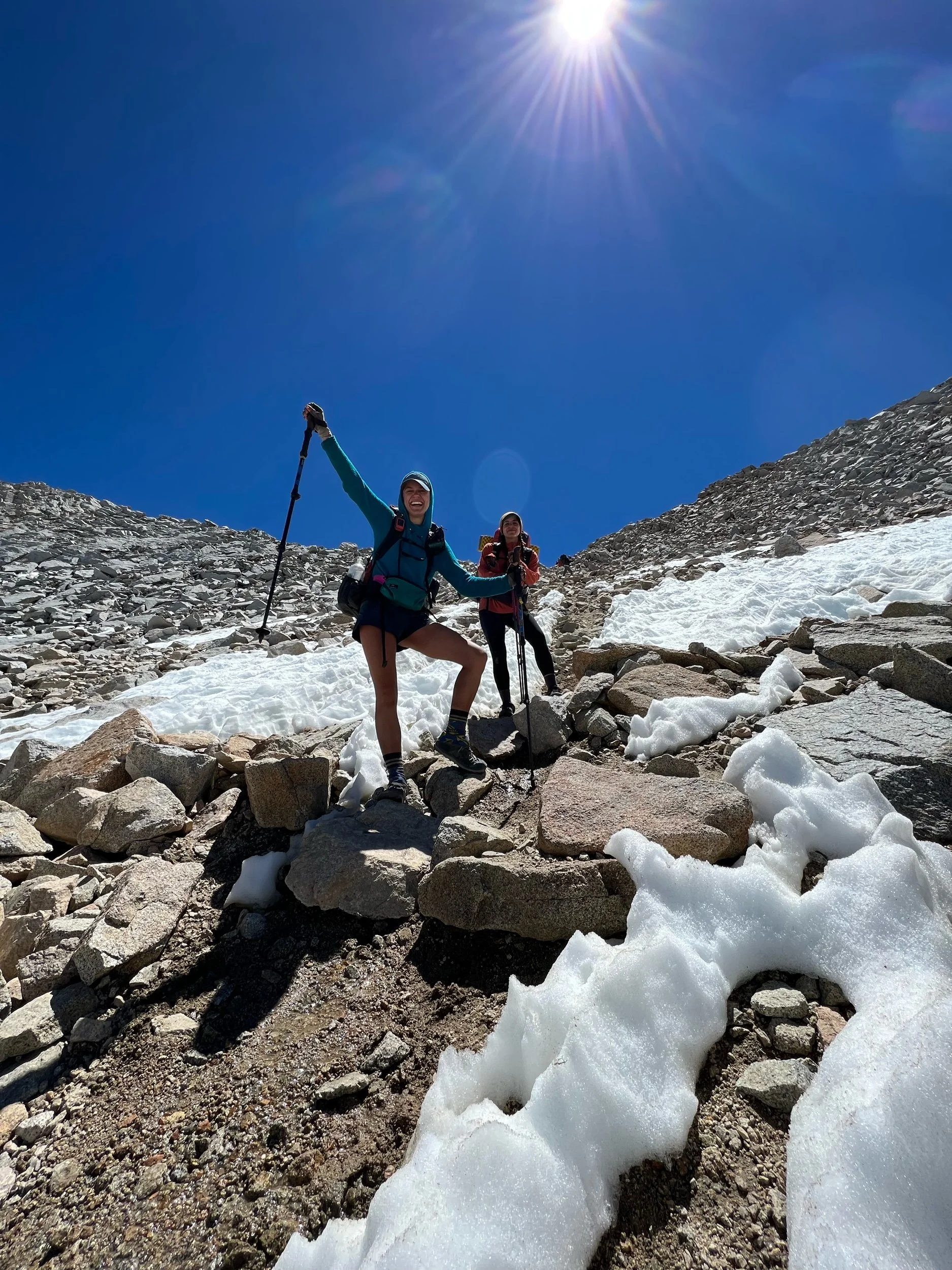
We made it to the Crabtree campsite in the early evening. It sits at about 10,690 feet. Mount Whitney towers at 14,508 feet and is a 7.5 mile journey each way. We needed to decide what time we were going to set out. Attempting a sunrise summit is a popular, if not daunting, choice for PCT hikers, but it requires leaving camp at midnight. All of us were exhausted and didn’t want to freeze on the summit, so we opted to leave around 4am, catch the sunrise over Guitar Lake (about 3ish miles into our journey), and make the summit by mid-morning. It was an epic day. The climb is known as the climb of 99 switchbacks. While I didn’t count, 99 seems about right. I can’t even imagine being the person to forge this trail, as it snaked up the mountain with sheer cliff drops and vistas of the surrounding mountains. As the sun rose, the light began hitting the granite, creating light patterns and colors that pictures cannot capture and I’m an insufficient writer to describe. But I understood John Muir’s words. After an arduous climb, during which we all felt short of breath, our entire group made the summit. The top was cold and windy, but we stayed just long enough to get the perfect poses. As I looked around the 360* views, I felt humbled by the grandeur of the sight. But at the same time, I must admit, my humility was mixed with a twinge of bad-assery, for lack of an actual word. I don’t normally self-congratulate or feign modesty. The truth was, we pushed ourselves to a limit that we didn’t know we had and surpassed it.
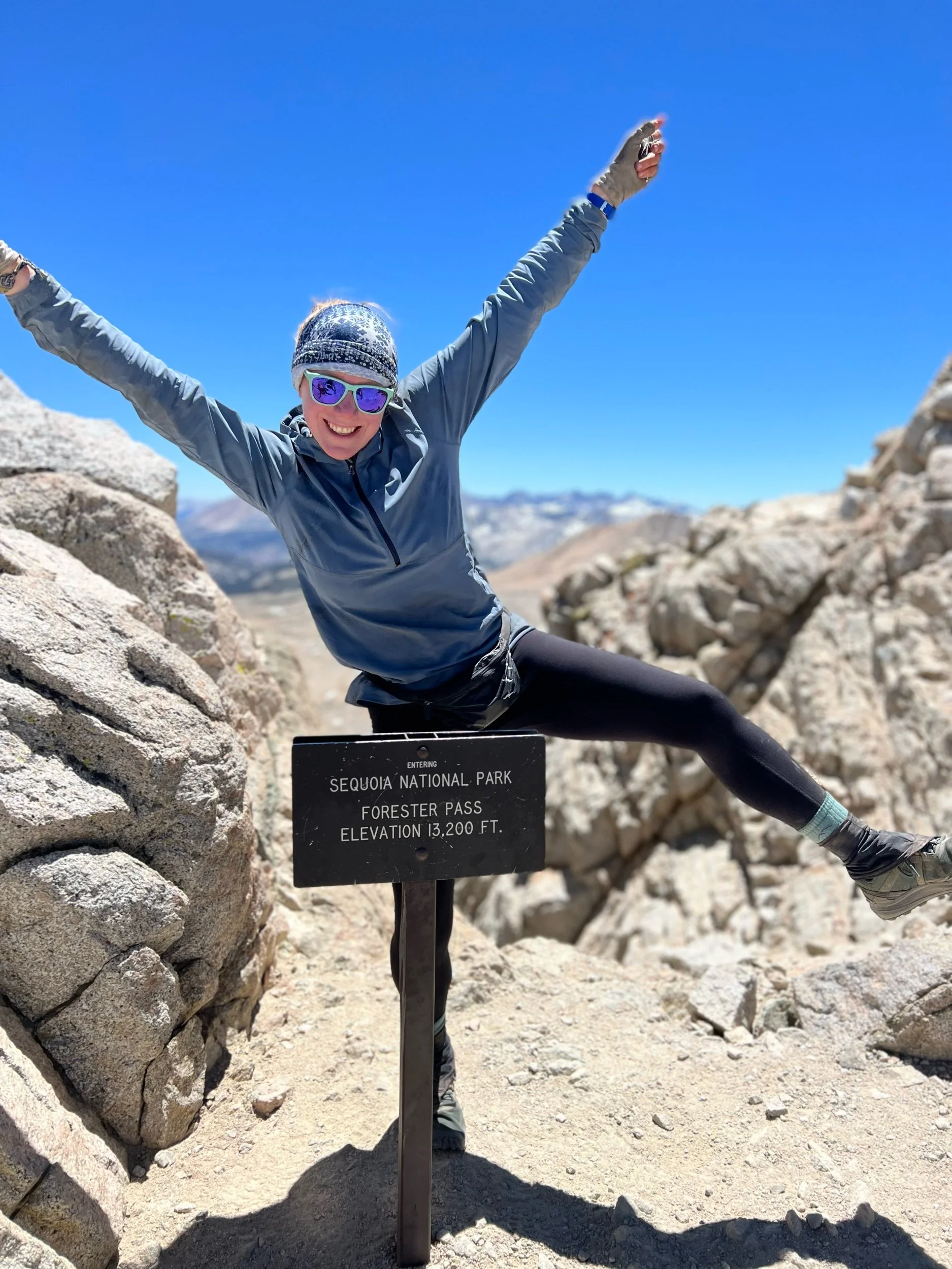
After walking back down the 99 switchbacks and taking a glorious lunch break at Guitar Lake, we got back to our tents around 3:30-4:00pm. Having woken up at 3:15am and just climbed the tallest mountain in the contiguous United States, we all wanted to go to sleep. But, we had Forester Pass the next day, which tops 13,200 feet and is the tallest point on the PCT. We needed to hike a few more miles, as the pass was about 13 miles away from Crabtree campsite. Packing up our things and hiking another 3-4 miles that day was one of the hardest things I’ve ever done. I was physically tired, yes, but overcoming the mental hurdle of packing up my tent and sleeping bag was almost insurmountable. But, we found whatever remaining strength we had and hiked another 4 miles so we could reach Forester Pass by mid-morning the next day. Further, we were all rationing our food at this point and we needed to reach the campsite closest to the side trail to take us to town to resupply. By hiking another 3-4 miles that evening, the next day would be manageable—18 miles rather than 22. It was this moment, the moment of hiking another 4 miles after climbing to the top Whitney, that I first truly felt like a thru-hiker.
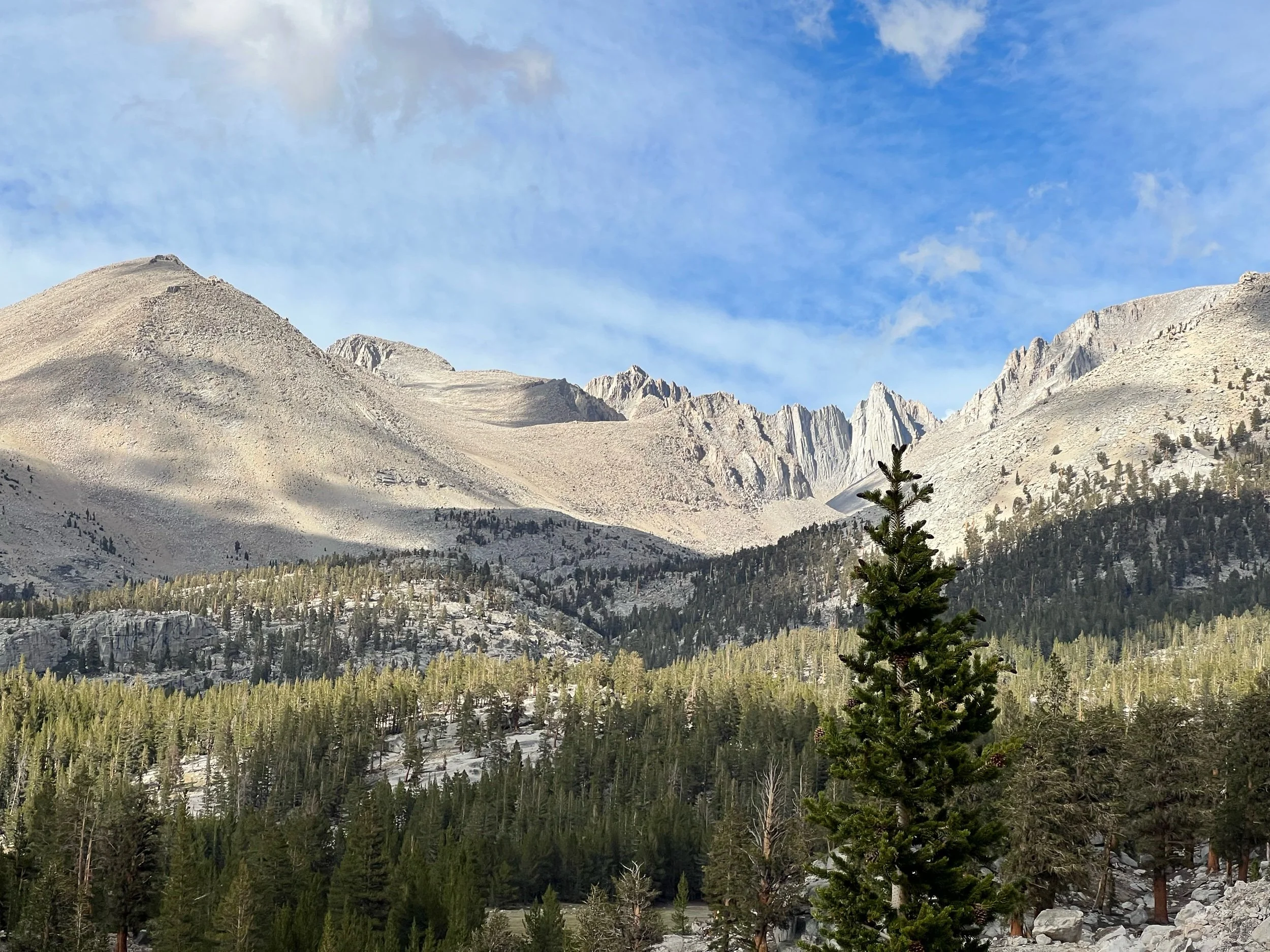
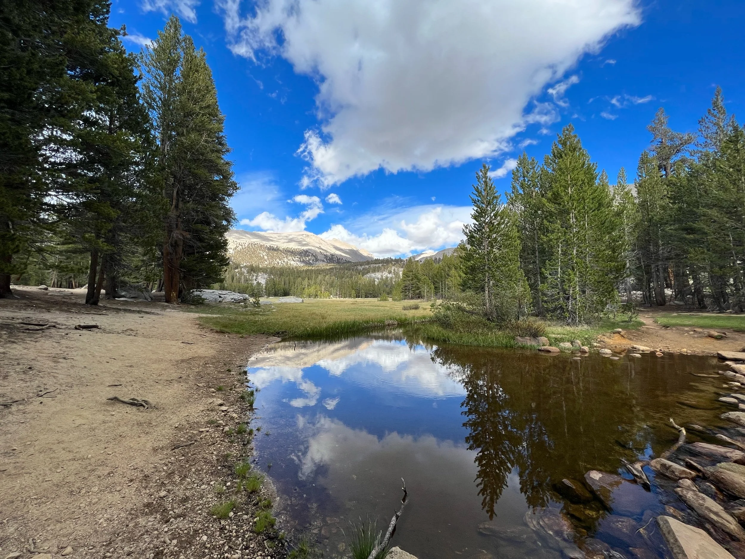
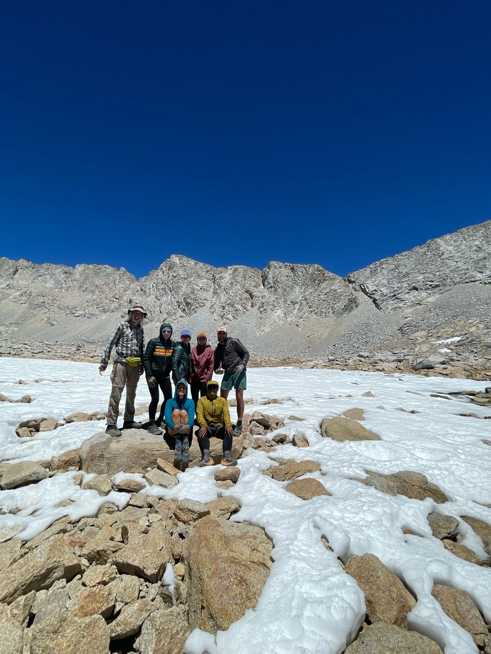
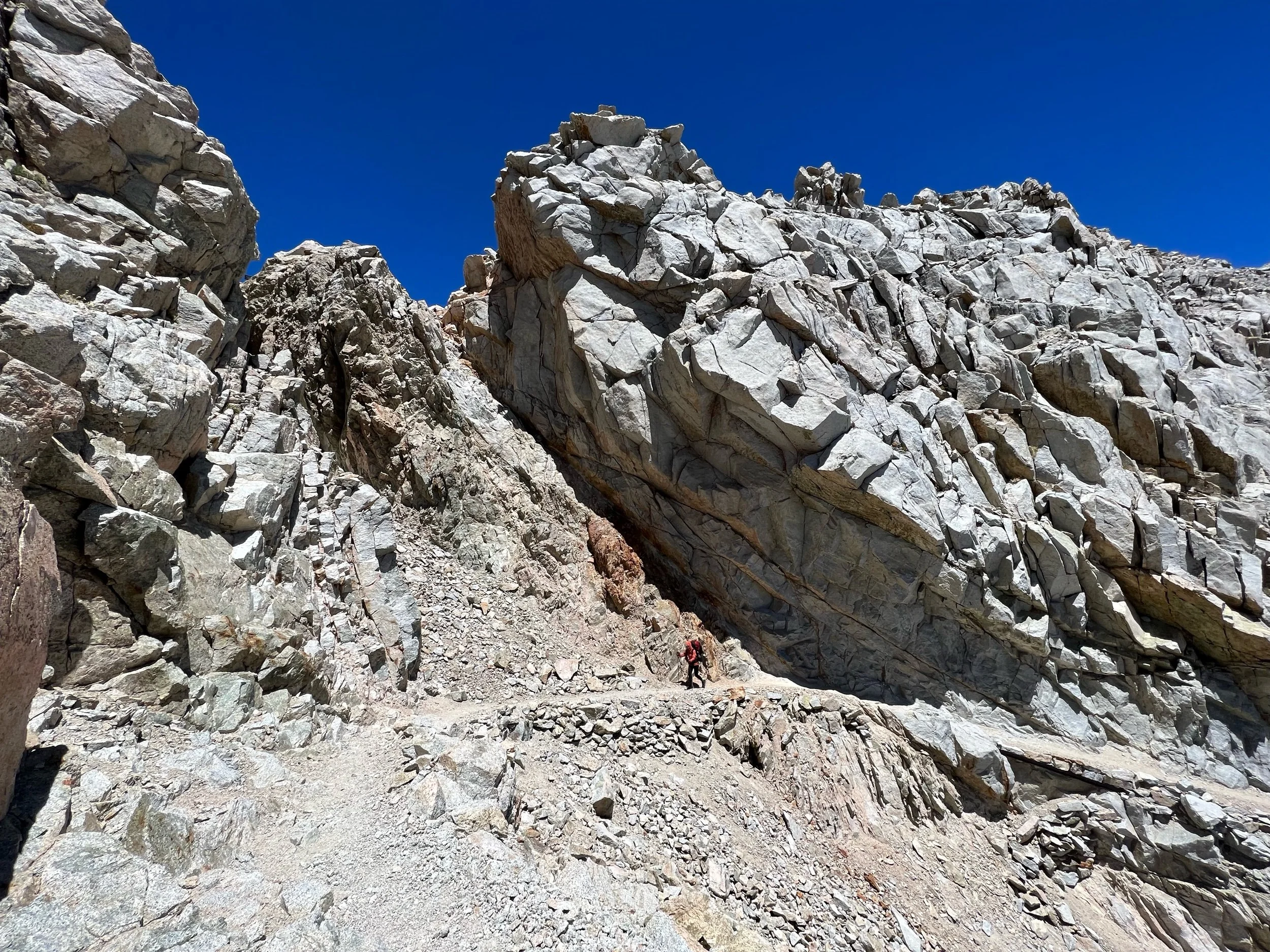
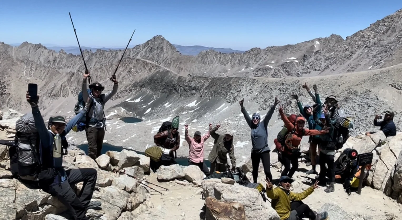
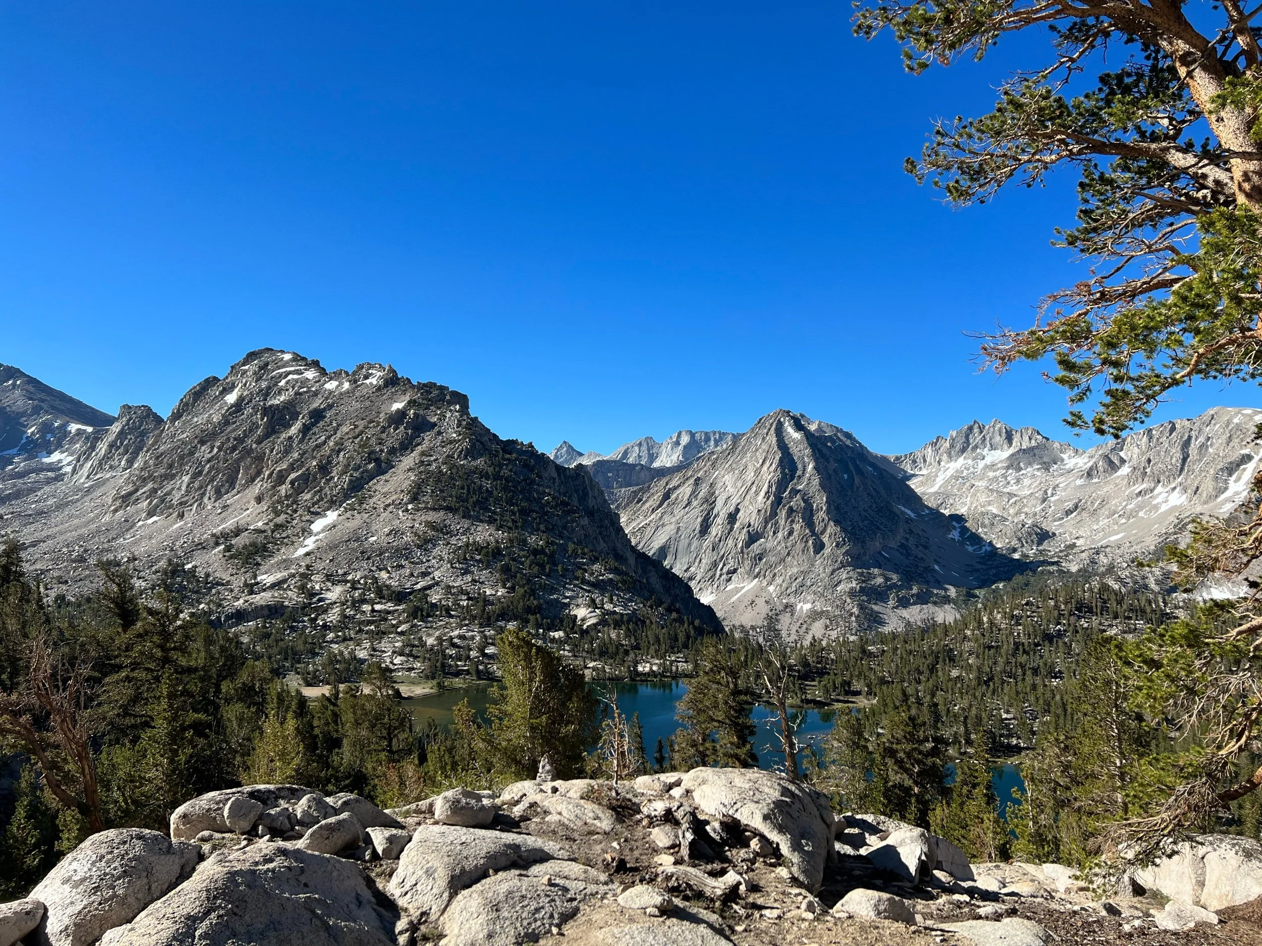
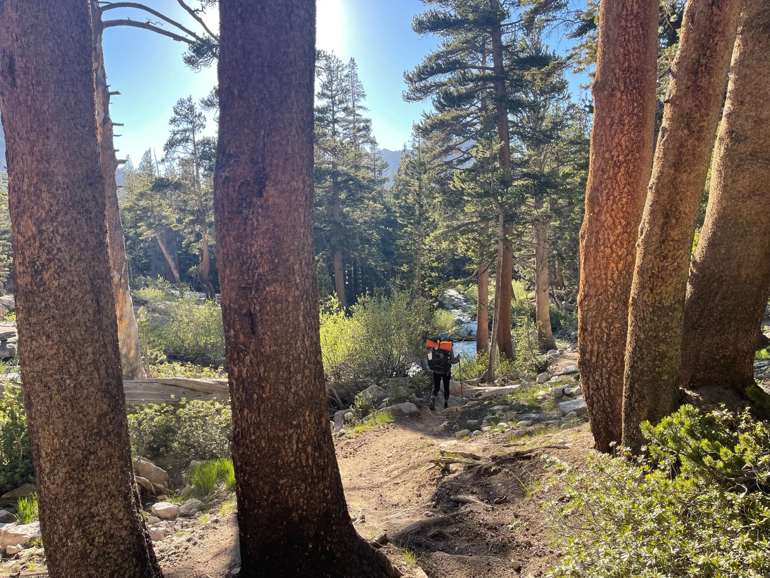
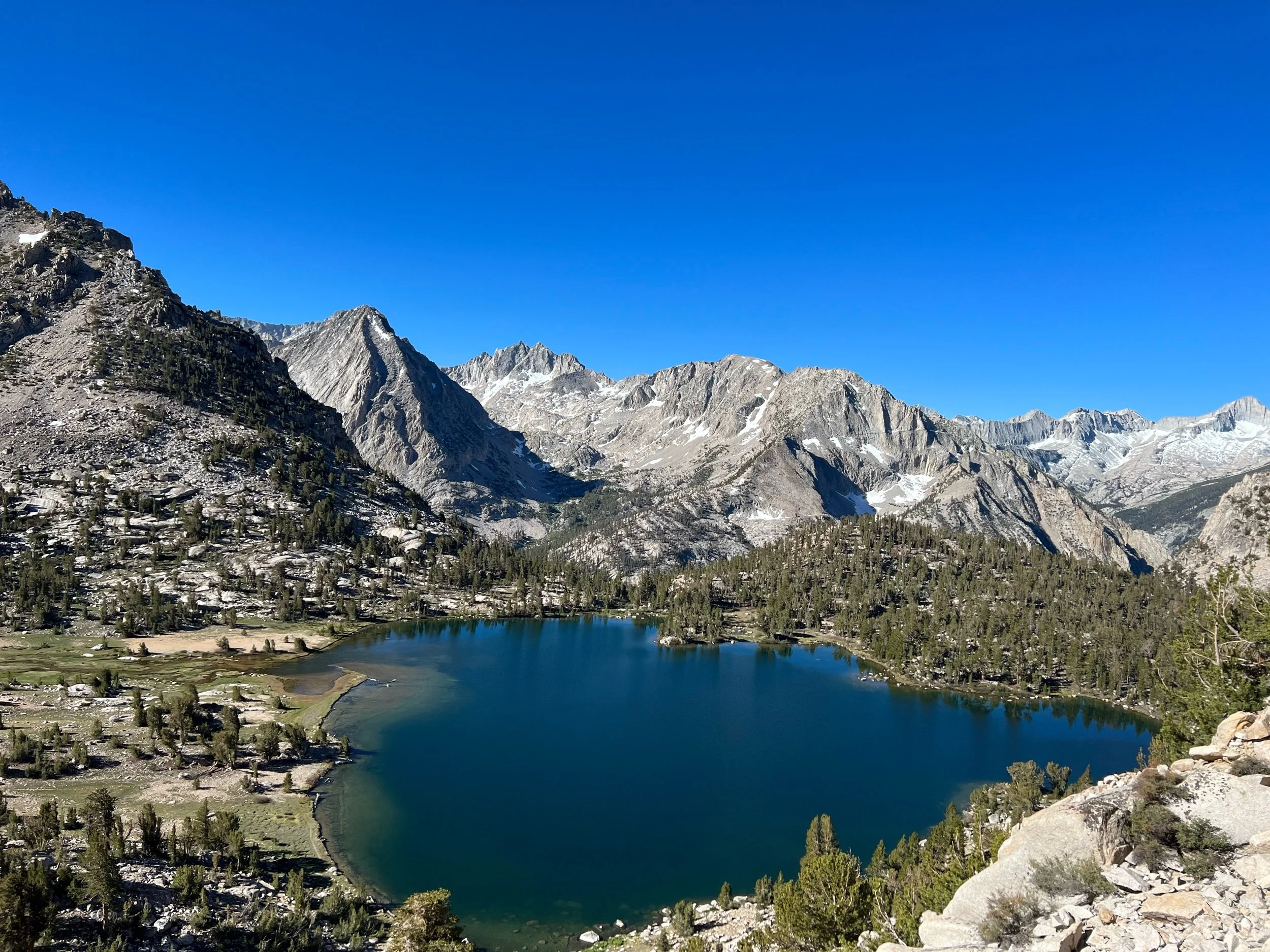
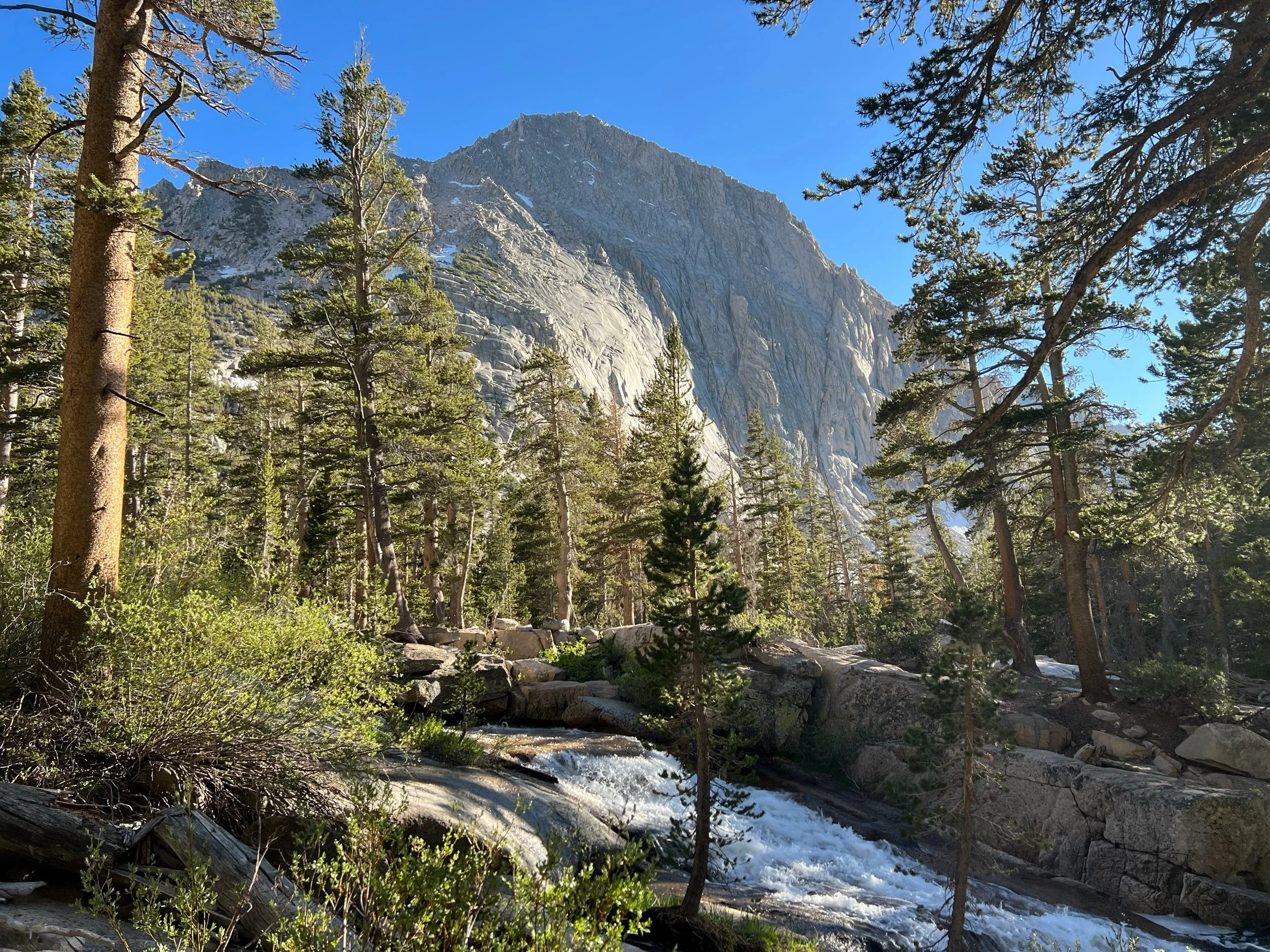
June 14: perhaps my favorite day on the trail so far. I thought Whitney had been epic and nothing would surpass it, but Forester Pass took my breath away. Forester Pass is the tiny divot between two peaks in the photo below and serves as the border between Sequoia National Park on the south face and Kings Canyon National Park to the north. The north side of the pass looks impassable from the approach. But somehow, a person, likely with the last name of Forester, figured it out. Getting to the top made my heart rush, and, traversing the the north side made my heart swell, as the beauty of Kings Canyon National Park unfolded before us with each step. Kings Canyon National Park looks like Yosemite’s secret and possibly more beautiful sister. We walked the granite ridges, which gave way to crystal clear alpine lakes, rushing waterfalls, and massive Sequoias, all surrounded by sheer granite cliffs. As we approached our campsite, the late afternoon sun warmed our smiling faces as it reflected off the mist from the gushing creeks and streamed through pines. It was a special day, perhaps, in part, because it felt like we discovered a secret place that most people will never see, as it requires at least two hiking days to reach.
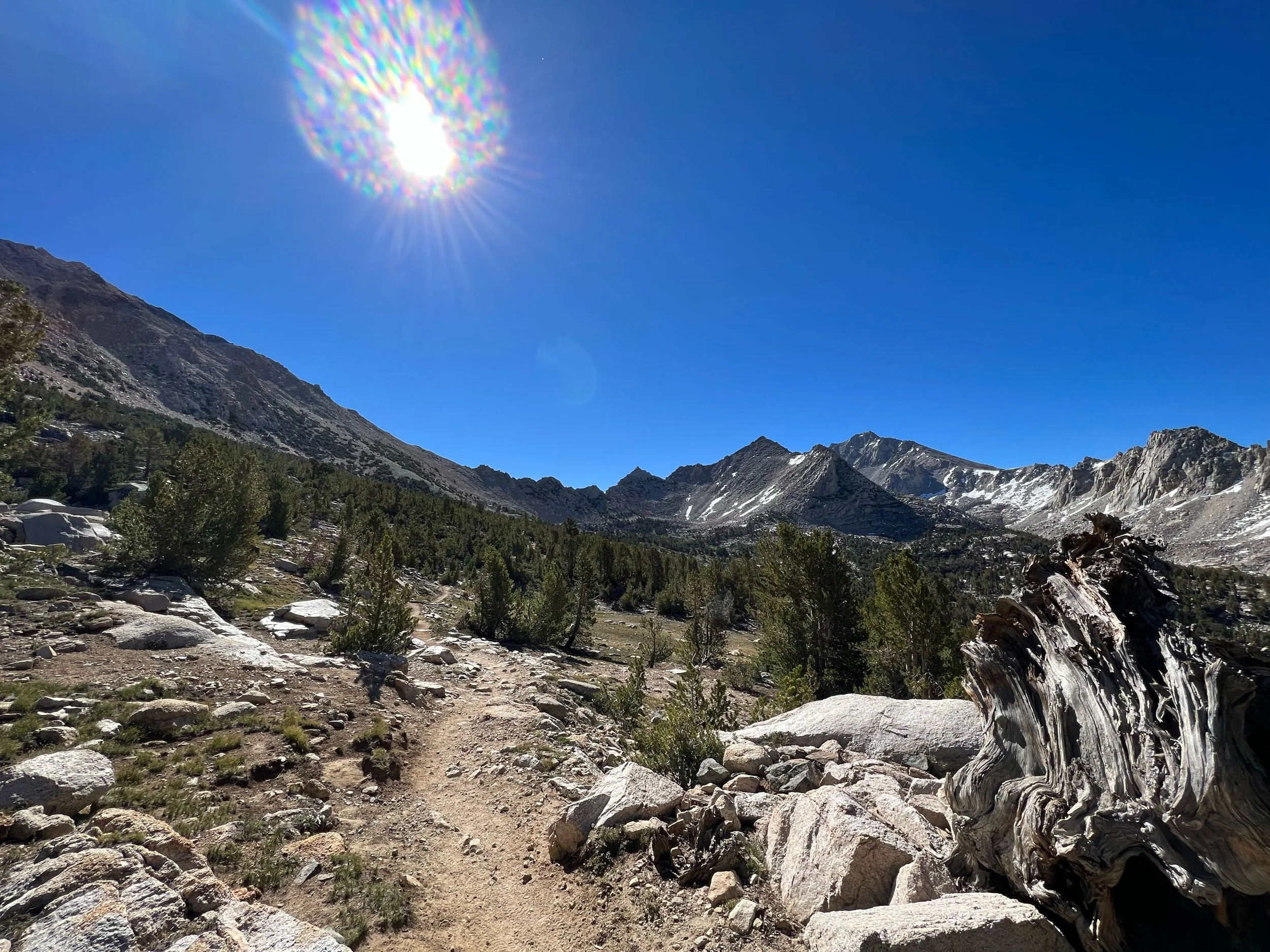
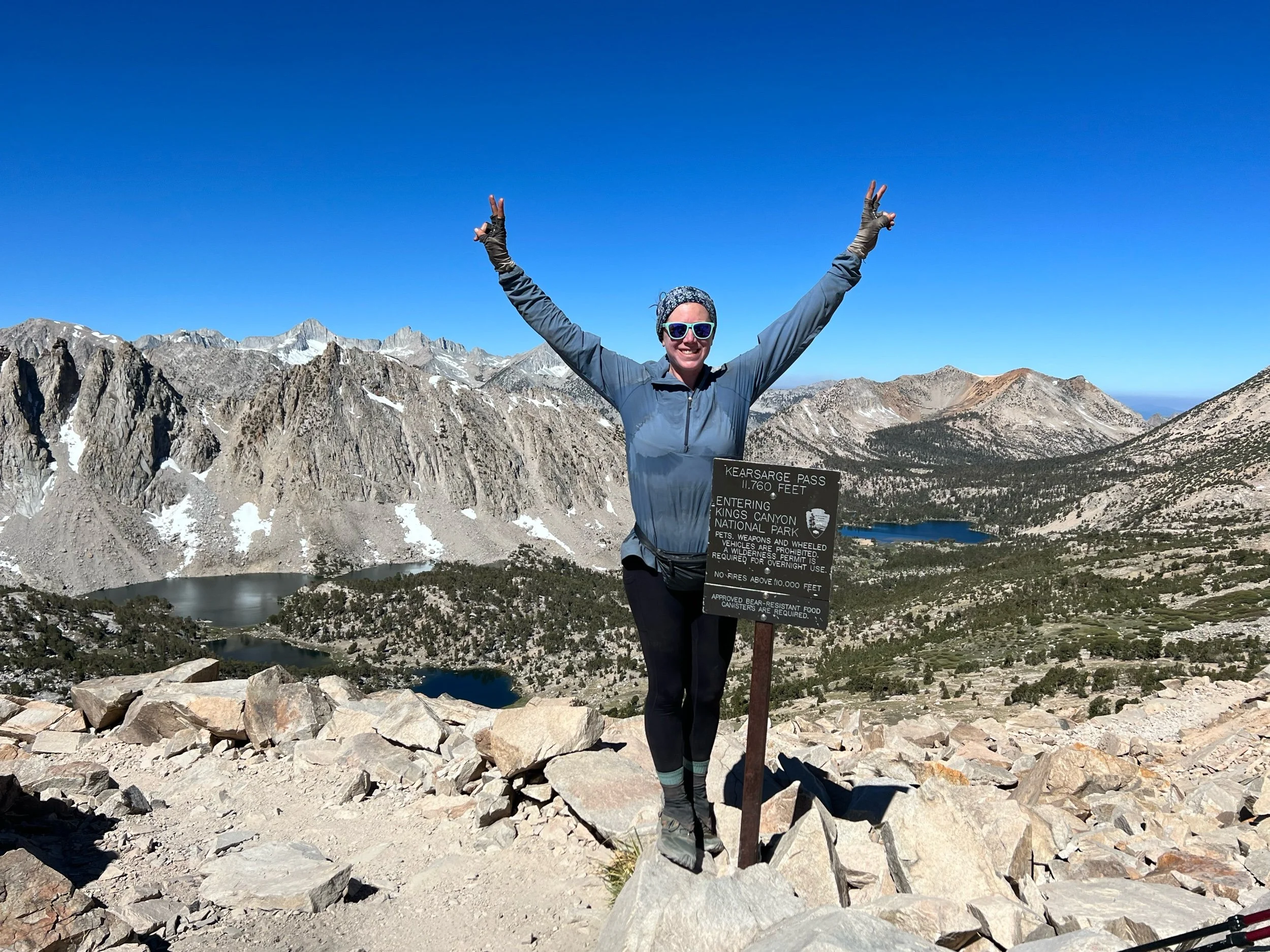
The next day was town day! We were going to Bishop. We hadn’t showered in a week and hadn’t slept in a bed in over 10 days. Unlike the desert towns, however, towns were hard to reach in the Sierra. To get to Bishop, we needed to take a 7.5 mile non-PCT side trail that crossed Kearsarge Pass, about 200 feet shy of 12,000 feet. Lucky for us, despite my disdain for non-PCT miles, it was stunning. I will walk (at least some) non-PCT miles when they looked like the trail that leads to Kearsarge Pass.
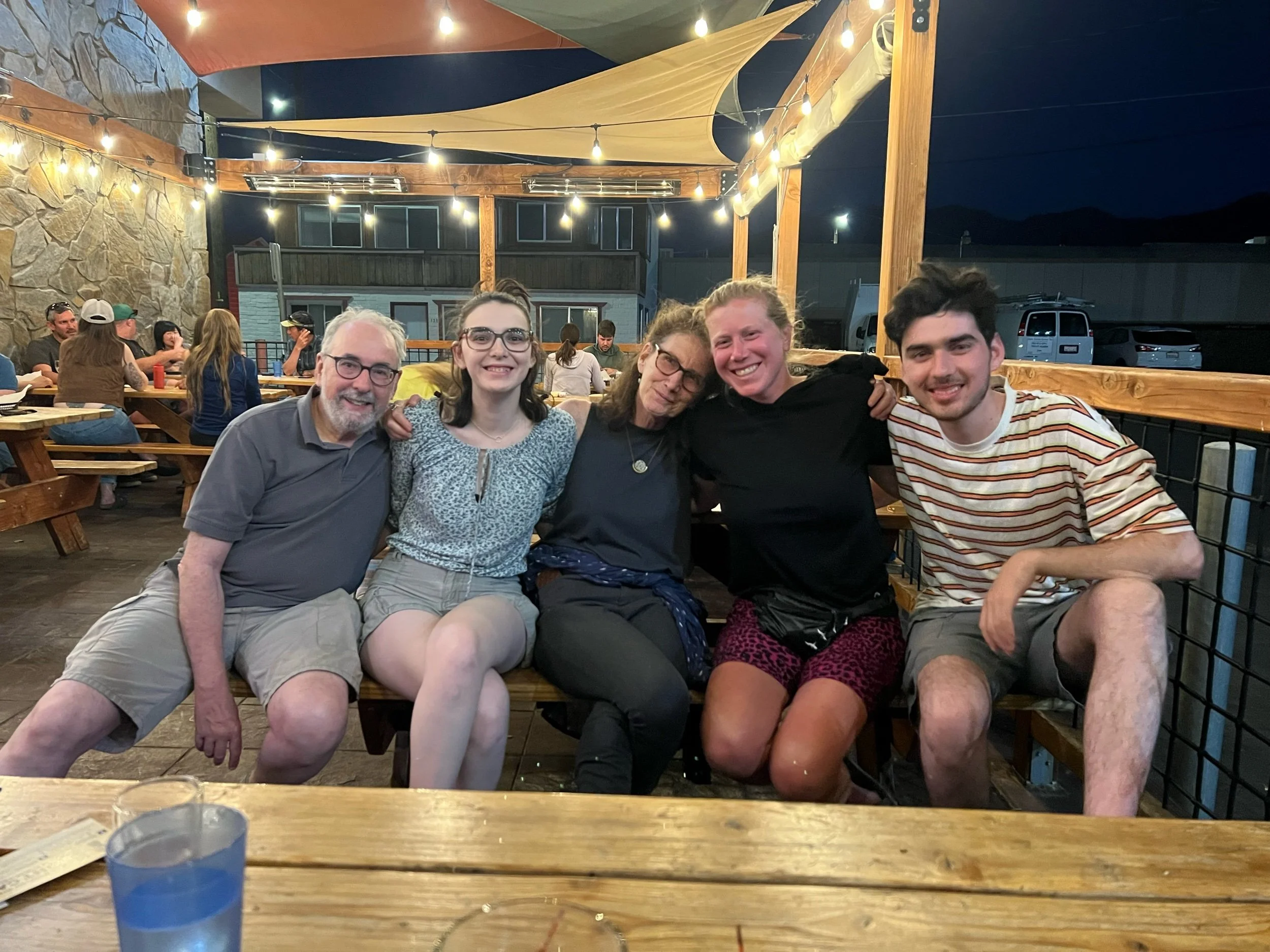
While we were all forming an allegiance to the wilderness over normal life, we needed to get to town. We were all out of food, rationing it carefully over the last few days, to make sure we had enough to get us through. Plus, my aunt, uncle and cousins just happened to be in Bishop that same day for a two-year delayed road trip celebrating my cousin Sandro’s 2020 college graduation. They say the trail provides, but it was truly a miracle that their itinerary just so happened to match with mine. It was an incredible reunion, and we had drinks, food, and laughs at a local brewery with some of my PCT friends. Seeing Mindy, Steve, Micaela, and Sandro was a perfect way to end this week.
We head back over Kearsarge Pass tomorrow to get back on trail. Bishop was a fun town, an interesting mix of a place, populated mostly with actual cowboys (we did go to a rodeo), outdoor enthusiasts, and rock climbers. While I’m not looking forward to carrying nearly seven days of food again and I loved my time in Bishop, I’m excited for what else the Sierra have in store. As Muir said, “the mountains are calling and I must go.”

